Trekking regions in Nepal: a guide to choosing
Everest, Annapurna, Langtang, Manaslu and Upper Mustang compared: how to reach each, how hard they are, when to go, what permits they need and which one suits you.
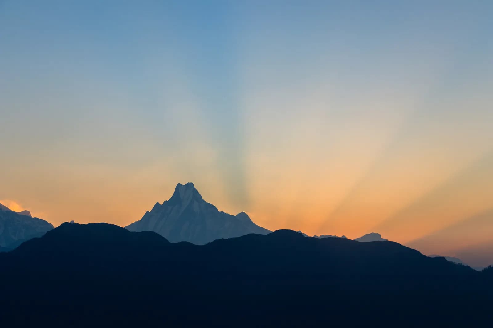
Nepal's trekking regions differ more than most visitors expect. Everest (the Khumbu) is high and needs a flight; Annapurna ranges from a four-day staircase to a 5,416 m pass; Langtang is a valley you reach by road from Kathmandu; Manaslu and Upper Mustang are restricted areas that need a registered agency and a licensed guide. The best region for you depends on how many days you have, how much altitude you want and whether you accept a permit process.
This guide compares the five regions covered on FindTrekkingPartner: how to reach them, how hard they are, when to go, the permits involved and the routes inside each. Use it to shortlist, then follow the links to the region pages and day-by-day itineraries.
Everest (Khumbu) का खुला ट्रिपहरू
साथी खोजिरहेका ट्रेकरहरूले पोस्ट गरेका वास्तविक ट्रिपहरू।
The five regions compared
| Region | Access | Typical days | Highest point | Difficulty | Best months |
|---|---|---|---|---|---|
| Everest (Khumbu) | Flight to Lukla (or drive and walk) | 12 to 20 | Kala Patthar, about 5,550 m | Moderate to hard | March-May, October-November |
| Annapurna | Road from Pokhara or Kathmandu | 4 to 18 | Thorong La, 5,416 m | Easy to hard | March-May, October-November |
| Langtang | Road to Syabrubesi, 7 to 8 hours | 7 to 14 | Kyanjin Ri, 4,773 m | Moderate | March-May, October-November |
| Manaslu | Rough road to Machha Khola | 12 to 18 | Larkya La, 5,106 m | Hard | March-May, October-November |
| Upper Mustang | Flight to Jomsom, walk or drive to Kagbeni | 10 to 14 | Marang La, about 4,280 m | Moderate | March-November |
Everest (Khumbu)
The Khumbu is the high valley system of Sagarmatha National Park, a UNESCO World Heritage Site. Most trekkers fly from Kathmandu to Lukla and walk through Namche Bazaar, the Sherpa trading town, to one of three objectives: Everest Base Camp and Kala Patthar, the Gokyo lakes or the Three Passes loop. Lodges stand every few hours on the main trail. The challenge is altitude and logistics: you need acclimatisation days and a spare day on each side for flight delays. See the Everest Base Camp itinerary and the Three Passes itinerary.
Annapurna
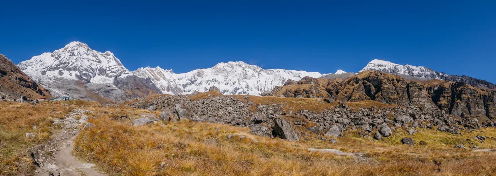
Annapurna is the largest protected area in the country and the most varied. From Pokhara you can walk the Poon Hill staircase in four days, climb the Mardi Himal ridge in five, reach Annapurna Base Camp in seven, take the quieter Khopra Ridge in eight or commit to the Annapurna Circuit in 14. No flight is needed, because the roads reach the trailheads. It is the easiest region to scale to your time and fitness.
Langtang
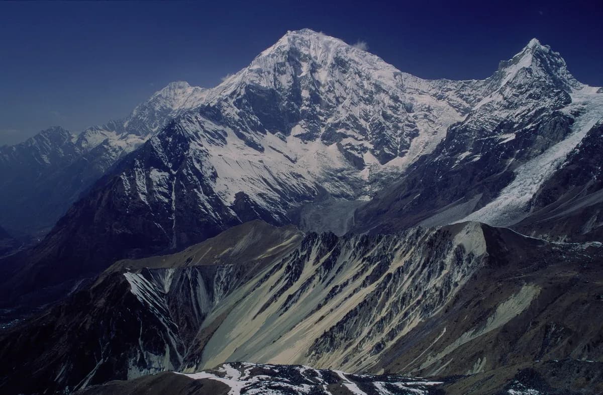
Langtang lies in Langtang National Park in Rasuwa District, north of Kathmandu. The Langtang Valley trek reaches Kyanjin Gompa (3,870 m) in three walking days, Gosaikunda climbs to sacred alpine lakes and the Tamang Heritage Trail is a low-altitude loop through Tamang villages. The drive to Syabrubesi is about 117 km and takes seven to eight hours by jeep, and landslides can close the road in the monsoon. The 2015 earthquake destroyed the original Langtang village and the region has been rebuilt. Read the Langtang itinerary for the full plan.
Manaslu
The Manaslu Circuit circles the eighth-highest mountain in the world, crossing Larkya La at 5,106 m and joining the Annapurna region at Dharapani. Because it passes close to the Tibetan border it lies partly in a restricted area: a Restricted Area Permit from the Department of Immigration, arranged through a registered agency, and a licensed guide are required. The trail is quieter and more remote than the main Annapurna and Everest routes, and has two rest days built in. See the Manaslu itinerary.
Upper Mustang
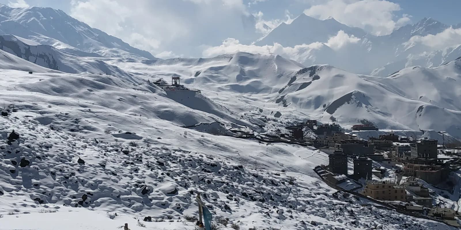
The former Kingdom of Lo is a dry trans-Himalayan landscape of red cliffs, cave dwellings and Tibetan Buddhist monasteries, closed to foreigners until 1992 and still requiring a restricted-area permit and a licensed guide. The Upper Mustang route follows the Kali Gandaki north from Kagbeni to Lo Manthang and returns by a different route. It lies in a rain shadow, so it is one of the few treks that works in the monsoon. See the Upper Mustang itinerary.
Which region for which traveller
| You are... | Start with | Why |
|---|---|---|
| A first-timer with four to five days | Annapurna: Poon Hill or Mardi Himal | Low altitude, road access, lodges every day |
| A first-timer with eight days | Langtang Valley | No flight, moderate altitude, clear rest day |
| Fit, with 12 to 14 days and a love of big mountains | Everest Base Camp or the Annapurna Circuit | Iconic views, built-in acclimatisation |
| Wanting culture and few crowds | Upper Mustang or Tamang Heritage Trail | Monasteries and villages, quieter trails |
| Experienced, with a group to share costs | Manaslu or Three Passes | Remote, high, rewarding |
| Travelling in the monsoon | Upper Mustang | Rain-shadow region |
How the regions differ on the ground
Everest's lodges are the most developed, with bakeries, cash machines and a market at Namche, and the trail is busiest. Annapurna has a dense network of villages on most routes and the widest range of trek lengths. Langtang's valley is narrower with fewer lodges and has the human history of the earthquake. Manaslu has the most traditional, Tibetan-influenced villages on a trek that is still physically demanding, and Upper Mustang has the most distinctive landscape. In every region the lodges are simple, the menus are built around dal bhat and noodles, and prices rise with altitude because supplies are carried up.
Permits in one view
| Region | Park or conservation area | Restricted permit |
|---|---|---|
| Everest | Sagarmatha National Park plus the local municipality permit | No |
| Annapurna | Annapurna Conservation Area, TIMS where required | No |
| Langtang | Langtang National Park, TIMS where required | No |
| Manaslu | Manaslu and Annapurna Conservation Areas | Yes |
| Upper Mustang | Annapurna Conservation Area | Yes |
Fees and exact rules change, so check them on the official Nepal Tourism Board and park pages before you travel. The guide rule explainer covers who needs a licensed guide where.
Combining regions
Several routes link neatly. The Manaslu Circuit exits at Dharapani and joins the Annapurna Circuit. The Annapurna Circuit finishes with the Ghorepani and Poon Hill climb, and the Kali Gandaki valley passes Kagbeni, the gateway to Upper Mustang. In Langtang, the Valley, Gosaikunda and the Tamang Heritage Trail can be combined into one longer trek. Combinations take more days than a single trek and need more permits, so decide early.
How to choose
- Count your days from the airport or the road, not the trailhead. Add travel days and a spare day for flights.
- Choose your altitude. Poon Hill stays below 3,300 m, Langtang and Mustang are moderate, and Everest, Manaslu and the Circuit go over 5,000 m.
- Decide on permits. Open areas need a park or conservation permit, restricted areas add an agency and guide. See our permits explainer.
- Pick your month. Spring and autumn are best for most regions; the best time to trek in Nepal compares them.
- Decide how you will travel. Groups share guide costs: read how to find a trekking partner safely.
Common regional mistakes
- Choosing Everest without allowing flight buffer days.
- Choosing Manaslu or Mustang without budgeting for the agency and permit.
- Choosing a long Annapurna Circuit when a week is all you have: the 14-day schedule leaves no slack.
- Assuming Langtang's road is quick: it is long and landslide-prone in the monsoon.
Where to go next
If you are comparing specific treks, see which Nepal trek is right for you, read the day-by-day itinerary index and, if this is your first trek, start with the first-time trekking guide.