

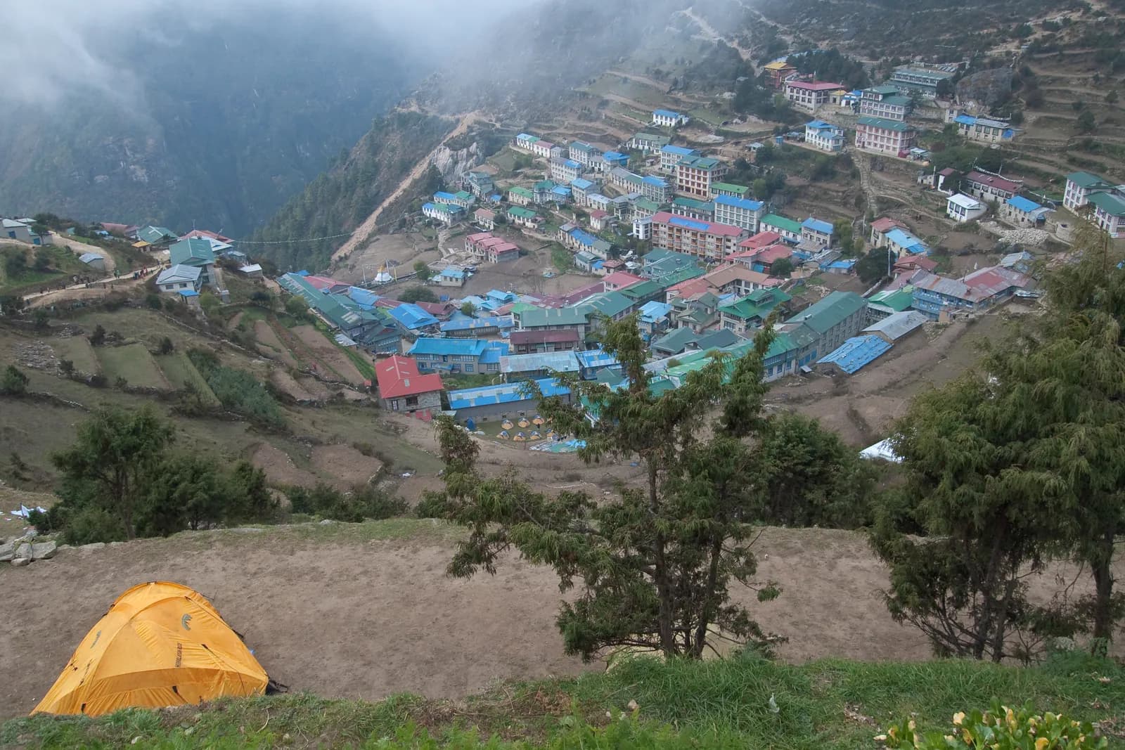
Everest (Khumbu)
The Khumbu is home to Everest Base Camp, the Gokyo lakes and the Three Passes loop. Sherpa villages, old monasteries and some of the highest trekking on earth make it a bucket-list region, but the altitude rewards a slow, well-acclimatised itinerary.
- अधिकतम उचाइKala Patthar (about 5,550 m)
- दिन12–20
- कठिनाइमध्यम–कठिन
- उत्तम महिनाMar–May, Oct–Nov
- अनुमतिपत्र२ अनुमतिपत्र
फोटो: Vyacheslav Argenberg · CC BY 4.0
Check that your policy covers helicopter evacuation and trekking at this region's altitude. We don't sell insurance.
What to look forWritten by FindTrekkingPartner teamFindTrekkingPartner team द्वारा समीक्षितहामी कसरी समीक्षा गर्छौंFindTrekkingPartner
Everest (Khumbu) नेपालको एउटा ट्रेकिङ क्षेत्र हो, जहाँ 12–20 दिनका रुटहरू छन् र ५,५४५ मिटरसम्म उक्लिन्छन्। विदेशी ट्रेकरहरूले आफ्नो मिति, बजेट र गतिसहित ट्रिप पोस्ट गरेर FindTrekkingPartner मा यहाँका ट्रेकहरूका लागि साथी खोज्न सक्छन्। दुवै ट्रेकर सहमत नभएसम्म म्याचहरू निजी रहन्छन्, र सेवा निःशुल्क छ। मध्यम स्तरको दरमा, चार जना ट्रेकरले बाँड्दा 12 दिनको लागि इजाजतपत्रप्राप्त गाइडको खर्च प्रति व्यक्ति लगभग USD ९१ पर्छ, जबकि एक्लै जाँदा USD ३६३ पर्छ। उत्तम मौसमहरू Mar–May, Oct–Nov हुन्। यस्ता खुला रुटहरूमा इजाजतपत्रप्राप्त गाइड अनिवार्य रूपमा लागू गरिएको छैन (१९ अक्टोबर २०२६ मा जाँचिएको): खुम्बु नगरपालिकाले नेपाल पर्यटन बोर्डको अप्रिल २०२३ को नियमबाट बाहिर रहने निर्णय गरेको छ र दिनभरका हाइकमा गाइड चाहिँदैन, तर पनि गाइड राख्न कडा सल्लाह दिइन्छ, त्यसैले आफ्नो एजेन्सीसँग पुष्टि गर्नुहोस्। पछिल्लो पटक पुष्टि गरिएको: २०२६ अक्टोबर १९। स्रोतहरू: नेपाल पर्यटन बोर्ड, DNPWC, अध्यागमन विभाग।
स्रोतहरू:Department of Immigration, NepalNepal Tourism BoardDepartment of National Parks and Wildlife Conservation
- Everest Base Camp Trek का लागि साथी खोज्नुहोस्अहिलेसम्म कुनै खुला ट्रिप छैन
- Gokyo Lakes Trek का लागि साथी खोज्नुहोस्१ खुला ट्रिप
- Everest Three Passes Trek का लागि साथी खोज्नुहोस्३ खुला ट्रिपहरू
परिचय
- इजाजतप्राप्त गाइड
- हालका स्थानीय नियम जाँच्नुहोस्
- न्यूनतम समूह
- १ ट्रेकर
Not enforced in Khumbu; NTB rule applies elsewhere; a guide is strongly advised. The Khumbu Pasang Lhamu municipality opted out and issues its own trek card. Checked 19 October 2026; see /guide-rule-nepal.
लोकप्रिय ट्रेकहरू
सुरु हुने ठाउँहरू
Kathmandu, Lukla
त्यहाँ कसरी पुग्ने
Fly Kathmandu to Lukla (about 35 to 40 minutes, weather permitting; in busy months many flights leave from Ramechhap/Manthali, a 4 to 5 hour drive from Kathmandu), or drive to Phaplu/Salleri or Jiri and walk. Keep one to two spare days for flight delays.
The Everest region, known locally as the Khumbu, is the high valley system of Sagarmatha National Park in Solukhumbu District, northeast Nepal. Most trekkers fly from Kathmandu to Lukla (2,846 m) and walk up the Dudh Koshi valley through Namche Bazaar, the Sherpa trading town, to one of three classic objectives: Everest Base Camp and Kala Patthar, the turquoise Gokyo lakes, or the Three Passes loop that links both valleys over high glaciated cols. Treks run from about 10 to 20 days, tea-house lodges stand every few hours on the main trails, and the best months are spring (March to May) and autumn (October to November). Plan one acclimatisation day at Namche and another at Dingboche, and keep a spare day at both ends for delayed Lukla flights. It suits fit walkers with a flexible schedule, and a licensed guide or guide-porter makes the logistics and the altitude much easier to manage.
Overview of the Khumbu
Sagarmatha National Park was gazetted in 1976, covers 1,148 km2 and was inscribed as a UNESCO World Heritage Site in 1979. It rises from about 2,845 m at Monjo to the summit of Everest at 8,848 m, and the lower forests of pine, fir and rhododendron give way to juniper scrub, then to moraine and ice. Himalayan tahr, musk deer and the colourful Himalayan monal live along the main trails, and snow leopards use the high valleys above 3,500 m, though sightings are rare.
The valley is the homeland of the Sherpa people, who came over the passes from Tibet several centuries ago and now run most of the lodges, yak herds and monasteries. You will notice mani walls, prayer wheels turned by streams, and gompas such as Tengboche (founded 1916, rebuilt after a fire in 1989). Treat these as living places of worship: walk clockwise around mani walls and chortens, and ask before photographing inside a monastery.
Best time to trek, month by month
- March: cold at night, clear days, rhododendron starting low down. Passes can still hold deep snow.
- April: the spring peak. Rhododendrons flower below Namche, expedition teams gather at Base Camp, and lodges fill from mid-month.
- May: warmer and hazier, with afternoon cloud building. Good for Gokyo and the passes before the monsoon.
- June to August: monsoon. Flights to Lukla are cancelled often, trails are wet and leech-prone low down, and views are mostly cloud. Few trekkers go.
- September: the monsoon fades through the month; trails dry out and the air clears by the end.
- October: the most popular month, with the steadiest weather and the busiest lodges.
- November: colder but very clear. Mani Rimdu is held at Tengboche in October or November, and the high lodges begin to close late in the month.
- December to February: very cold, with temperatures far below freezing at altitude, short days and some lodges shut above Dingboche. Experienced, well-equipped walkers only, and the passes are unsafe in snow.
Routes compared
| Trek | Typical days | Highest point | Character |
|---|---|---|---|
| Everest Base Camp | 12 to 14 | Kala Patthar, about 5,550 m | The classic: busiest trail, strongest infrastructure |
| Gokyo Lakes | 11 to 13 | Gokyo Ri, 5,357 m | Quieter valley, lakes and the Ngozumpa Glacier |
| Everest Three Passes | 17 to 20 | Kongma La, 5,535 m | Full loop with three glacier-edge passes; demanding |
Other options include shorter lodge-to-lodge walks around Namche, Khumjung and Thame, and the long road-and-trail approach from Jiri or Phaplu, which adds a week but lets the body adapt gradually.
Permits and rules
Two entry permits are normally needed: the Sagarmatha National Park entry permit, issued at the Nepal Tourism Board in Kathmandu or at the park gate in Monjo, and the local permit of the Khumbu Pasang Lhamu Rural Municipality, which is bought in Lukla or Monjo. Check the current amounts and where to pay with the issuing offices; they have changed more than once and fee quotes online are often out of date. Carry your passport and a few passport photos, and keep the paper permits until you leave the park, because checkposts at Monjo and elsewhere inspect them.
Solo trekking and guides. Follow the rule: the Nepal Tourism Board rule of April 2023 asks foreign trekkers to use a licensed guide in national parks and conservation areas, and in restricted areas a licensed guide through a registered agency is part of the permit. Khumbu is reported to use a municipal trek card instead (2026 operator reports; practice varies), but we advise a licensed guide here too (checked 19 October 2026). See the guide rule by region. Reports since then conflict on how strictly it is enforced and on whether local rules differ in the Khumbu. Treat a licensed guide or guide-porter as the safe assumption, and confirm the current position with the Tourism Board, the Department of Immigration or a registered Nepali agency before you book. A guide is also simply good practice here: he or she tracks your acclimatisation and handles weather, pass conditions and evacuation.
Getting there: flights and roads
The standard route is a 35 to 40 minute flight from Kathmandu to Lukla. Tenzing-Hillary Airport has a very short sloping runway (about 527 m at 11.7 percent), so flights depend on clear weather and often run only in the morning. In the busiest months many flights operate from Ramechhap (Manthali) airport, a drive of roughly four to five hours from Kathmandu that starts in the small hours; ask your airline which airport your ticket uses. Build in one to two spare days at each end, because cancellations are normal rather than exceptional, and make sure your travel insurance covers delays.
The alternative is by road. A jeep road reaches Salleri and Phaplu (Solu), where a small airstrip also operates, and roads run from Kathmandu toward Jiri. From Phaplu or Jiri it takes several extra days to reach Namche, but you gain altitude slowly and avoid the flight lottery.
Altitude and acclimatisation
Almost everything in the Khumbu is above 2,800 m and the main trek tops 5,000 m, so altitude sickness is the main medical risk. Follow a few rules:
- Sleep no more than about 300 to 500 m higher each night above 3,000 m, and add a rest day every 3 to 4 days or 1,000 m.
- Use rest days for a short hike high (Everest View Hotel above Namche, Nangkartshang above Dingboche) and then sleep low.
- Drink plenty, walk slowly, and never ascend with symptoms. A headache with nausea, dizziness or unusual breathlessness at rest means stop, and descend if it does not clear.
- Ataxia, confusion or a wet cough are emergencies: descend at once and call for help. Helicopter evacuation needs insurance that covers it.
The Himalayan Rescue Association runs a seasonal aid post at Pheriche with daily altitude talks in the main trekking months. Attend one; it is useful and free to listen.
Lodges, costs and food
Tea houses provide a bed in a simple twin room, a dining room with a stove, and meals. Rooms are inexpensive or even free if you eat your meals at the lodge, which is the usual arrangement. Everything above Lukla is carried by porter, yak or mule, so prices for food, charging, hot showers and Wi-Fi rise with every day you walk. Menus are broad (dal bhat, noodles, pasta, momos, eggs, potatoes, pancakes) but quality falls as the altitude rises. Dal bhat, the Nepali lentil-and-rice set, usually comes with free refills and is a sound choice.
Buy water from refill stations or treat it, rather than buying plastic bottles that must be carried back down. Bring cash in rupees: there are ATMs in Lukla and Namche but they can be empty or offline, and nothing above Namche can be relied on. Tip your guide and porter at the end of the trek, according to what you agree with your agency.
Connectivity
Mobile coverage reaches most of the main trail, though it is patchy in the side valleys and during bad weather. Lodges sell Wi-Fi by the hour or the day, often slow and priced by data, and charging a phone or battery usually costs extra. Carry a power bank and keep an offline map of your route. Do not rely on a signal for safety: tell your lodge or guide where you are going each day.
Safety
- Weather turns quickly. Start early on pass and viewpoint days and turn back if cloud, wind or fresh snow arrives.
- Cho La and the Kongma La cross glaciers or moraine and the conditions change through the season. Your guide should check with local lodges and recent trekkers, and traction devices may be needed after snow.
- Crossing the suspension bridges, yak and mule trains have right of way: stand on the uphill side of the trail.
- Water-borne illness is common. Wash your hands, avoid raw salad and use treated water.
- Keep a copy of your insurance policy, including the emergency number, and register with your embassy if it offers a service.
What to pack
A broken-in pair of waterproof boots, merino or synthetic base layers, a fleece, a warm down jacket (the temperature at Gorak Shep drops well below freezing at night), a shell jacket and trousers, warm hat and gloves, sun hat, sunglasses with side protection and strong sunscreen. Add a sleeping bag rated to about -15 C (many lodges provide blankets but not always enough), poles, a headlamp, water bottles with a purification method, a personal first-aid kit with blister care, and lightweight microspikes if you plan to cross Cho La.
Culture and etiquette in Sherpa country
The Sherpa communities of Solukhumbu follow Tibetan Buddhism of the Nyingma school, and the landscape is full of religious markers. Mani walls, long banks of stones carved with the mantra Om Mani Padme Hum, line the trails, and you should pass them with the wall on your right. Chortens mark village entrances, prayer flags carry blessings on the wind, and many villages have a gompa that welcomes quiet visitors. Dress modestly in villages, remove shoes before entering a monastery, and do not touch prayer wheels with your left hand or step over anything sacred.
Mountain deities are respected here: Khumbila, above Khumjung, is considered a protective god, and climbing it is forbidden. The 1953 first ascent of Everest by Edmund Hillary and Tenzing Norgay linked the valley to the outside world, and the Hillary-founded school and hospital at Khunde and Khumjung continue to serve the community. Spend money in local lodges and bakeries, hire local guides and porters, and treat porters as colleagues: check that your agency provides proper clothing, shelter and sensible loads.
Responsible trekking in the national park
Sagarmatha National Park has a serious waste problem at altitude, because everything that is carried up has to come back down. Avoid single-use plastic by using refill stations and purification tablets, carry out your own batteries and wrappers, and use toilets rather than going on the trail side. Do not burn rubbish. In the high lodges, most heating comes from yak dung or imported fuel, because the forest is protected, so do not ask for a wood fire. Stay on the trail, because the pasture is fragile and erosion is already visible on the busiest sections.
Choosing between the three treks
Base Camp is the right pick if you want the classic route, strong lodge infrastructure and the satisfaction of reaching the foot of Everest, and you do not mind sharing the trail with many other people. Gokyo suits trekkers who want fewer crowds, spectacular lakes and a viewpoint that is as impressive as Kala Patthar. The Three Passes is a bigger undertaking and best saved for a second trip or for strong trekkers with a spare week. If you are short of time, consider the Namche to Khumjung and Thame hike, which gives a taste of the Khumbu in four or five days and reaches only about 3,900 m.
Money, insurance and logistics
Carry rupees for everything on the trail. ATMs in Lukla and Namche may be empty, and card payments are rare above Namche. Insurance is essential: it should cover trekking to 6,000 m, helicopter evacuation and the cost of delays. Tell your insurer that you are trekking in the Khumbu, keep the emergency number in your phone and on paper, and check whether you need to pre-notify. Your agency, if you use one, will normally arrange permits, domestic flights and guides, and will tell you which gear to hire in Kathmandu or Namche.
यस क्षेत्रका सबै मार्ग
यहाँ हामीले समेटेका सबै मानक मार्ग। दिनदिनको यात्रा तालिका खोल्न मार्गमा ट्याप गर्नुहोस्।
मार्गहरू तुलना गर्नुहोस्
आफूलाई मिल्ने मार्ग भेट्न लम्बाइ, उचाइ, कठिनाइ वा अनुमानित खर्चअनुसार मार्ग मिलाउनुहोस्।
दिन ↑ अनुसार मिलाइएको
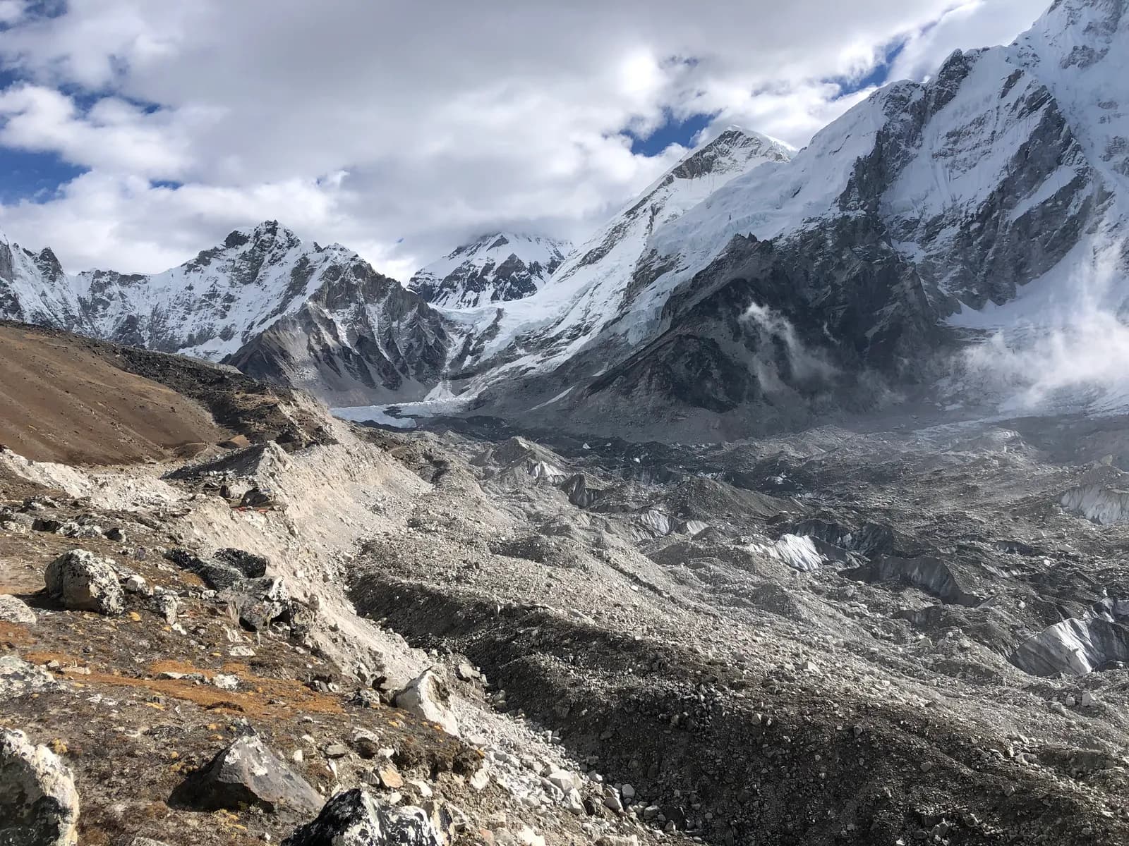
Everest Base Camp Trek
12५,५४५ मि१२१ कि.मि.
मध्यम–कठिनदिनदिनको विवरण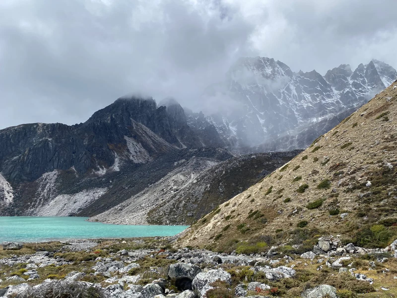
Gokyo Lakes Trek मस्यौदा
12५,३५७ मि९२ कि.मि.
मध्यम–कठिनदिनदिनको विवरण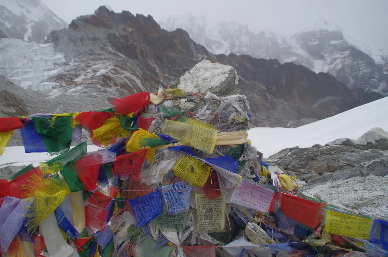
Everest Three Passes Trek मस्यौदा
18५,५४५ मि१४७ कि.मि.
कठिनदिनदिनको विवरण
| मार्ग | |||||
|---|---|---|---|---|---|
| Everest Base Camp Trek | 12 | ५,५४५ मि | मध्यम–कठिन | १२१ कि.मि. | NPR ६४,००० देखि |
| Gokyo Lakes Trek | 12 | ५,३५७ मि | मध्यम–कठिन | ९२ कि.मि. | NPR ६४,००० देखि |
| Everest Three Passes Trek | 18 | ५,५४५ मि | कठिन | १४७ कि.मि. | NPR ९५,००० देखि |
खर्च अनुमान हो: क्षेत्रको बजेट-शैलीको दैनिक दरलाई दिनले गुणा गरिएको, उडान र अनुमतिपत्रबिना।
ट्रेक गर्ने उत्तम समय
हाइलाइट गरिएका महिनाहरू सिफारिस गरिएका ट्रेकिङ मौसम हुन्। Mar–May · Oct–Nov
उत्तम मौसमअन्य महिना
Live conditions
Notes entered by our team from the sources linked on each item. Conditions change quickly, so confirm with your guide or lodge before you set off.
Best seasons: Mar–May · Oct–Nov
Nothing recent on file. Check with your guide or lodge before you go.
पर्मिट र शुल्क
शुल्क प्रतिव्यक्ति हो र तपाईंको राष्ट्रियता समूहमा भर पर्छ।
| पर्मिट | विदेशी | SAARC | नेपाली |
|---|---|---|---|
Sagarmatha National Park entry | NPR ३,००० | NPR १,५०० | NPR १०० |
Khumbu Pasang Lhamu Rural Municipality entry | NPR ३,००० | NPR २,००० | NPR ० |
- कहाँ किन्ने
Park entrance at Monjo
Nepal Tourism Board, Kathmandu (Bhrikutipath), or the park entrance at Monjo
Collected at Lukla or Monjo
Collected at Lukla or Monjo (not sold in Kathmandu)
- आवश्यक कागजात
Passport copy, 2 passport photos (or digital), travel insurance details, itinerary
दैनिक खर्च
टी-हाउस ट्रेकमा प्रतिव्यक्ति प्रतिदिन। गाइड र पोर्टरको खर्च प्रति समूह/पोर्टर प्रतिदिन। २०२६ अक्टोबर सम्मको अनुसार।
Everest Base Camp Trek को सामान्य जम्मा खर्च, २ ट्रेकर बाँडेर
- किफायती
- US$ ९४०–US$ १,३००
- मध्यम
- US$ १,१००–US$ १,५५०
- आरामदायी
- US$ १,३००–US$ १,८५०
| शैली | प्रतिदिन | गाइड / दिन | पोर्टर / दिन | नमुना जम्मा |
|---|---|---|---|---|
| किफायती | NPR ४,२००–५,९०० | NPR ४,०५० | NPR २,७५० | NPR १,०२,०००–१,३६,५०० |
| मध्यम | NPR ५,३००–७,६०० | NPR ४,०५० | NPR २,७५० | NPR १,१५,३००–१,५६,४०० |
| आरामदायी | NPR ६,६००–९,४०० | NPR ४,०५० | NPR २,७५० | NPR १,३१,४००–१,७७,४०० |
किफायती: Kathmandu to Lukla flight about USD 190 to 240 each way for foreigners (Ramechhap departures in the busy months); fares rose on 1 March 2026. Nepali nationals pay about NPR 7,000 to 10,000 one way (operator quotes 2026). The Everest jeep alternative runs Kathmandu to Surke (325 km, then about two days walking up to Lukla): shared jeep USD 45 to 50 per person for foreigners and NPR 5,000 to 6,000 for Nepalis; private jeep USD 300 to 350 per vehicle, split by the group (operator quotes 2026). For Nepali trekkers the shared Surke jeep is the budget option, the flight the fast one.
मध्यम: Kathmandu to Lukla flight about USD 190 to 240 each way for foreigners (Ramechhap departures in the busy months); fares rose on 1 March 2026. Nepali nationals pay about NPR 7,000 to 10,000 one way (operator quotes 2026). The Everest jeep alternative runs Kathmandu to Surke (325 km, then about two days walking up to Lukla): shared jeep USD 45 to 50 per person for foreigners and NPR 5,000 to 6,000 for Nepalis; private jeep USD 300 to 350 per vehicle, split by the group (operator quotes 2026). For Nepali trekkers the shared Surke jeep is the budget option, the flight the fast one.
आरामदायी: Kathmandu to Lukla flight about USD 190 to 240 each way for foreigners (Ramechhap departures in the busy months); fares rose on 1 March 2026. Nepali nationals pay about NPR 7,000 to 10,000 one way (operator quotes 2026). The Everest jeep alternative runs Kathmandu to Surke (325 km, then about two days walking up to Lukla): shared jeep USD 45 to 50 per person for foreigners and NPR 5,000 to 6,000 for Nepalis; private jeep USD 300 to 350 per vehicle, split by the group (operator quotes 2026). For Nepali trekkers the shared Surke jeep is the budget option, the flight the fast one.
नियम र असल अभ्यास
गाइड
- सबै क्षेत्र
Foreign trekkers must trek with a licensed guide in national parks and conservation areas (in force since April 2023). Enforcement varies by region, so verify the current rule before you go.
पर्मिट
- Everest (Khumbu)
The Khumbu Pasang Lhamu Rural Municipality fee is separate from the Sagarmatha National Park fee and is collected at Lukla or Monjo.
- सबै क्षेत्र
Carry your permits at all times; they are checked at several checkpoints along every route.
सुरक्षा र उचाइ
- Everest (Khumbu)
Lukla flights are often delayed by weather. Keep 1–2 buffer days before any international flight.
- सबै क्षेत्र
Buy travel insurance that covers helicopter rescue to at least 6,000 m.
- सबै क्षेत्र
Climb high, sleep low: above 3,000 m, avoid raising your sleeping altitude by more than about 500 m per day, and add rest days.
संरक्षण
- Everest (Khumbu)
Sagarmatha National Park has plastic-reduction rules: carry a refillable bottle and avoid single-use plastic.
- सबै क्षेत्र
Carry out all non-burnable waste (batteries, plastic, wrappers) and use a refillable water bottle.
संस्कृति
- सबै क्षेत्र
Respect monasteries: walk clockwise around stupas and mani walls, and remove shoes where asked.
- सबै क्षेत्र
Ask before photographing people, especially at religious sites and ceremonies.
ड्रोन
- सबै क्षेत्र
No drones without prior permission from the relevant authority.
फोटोहरू
प्रायः सोधिने प्रश्नहरू
Allow 12 to 14 days from Kathmandu, including the flights, a rest day at Namche and another at Dingboche. Shorter plans leave little room for acclimatisation or a delayed flight.
October and November, then March to May. October has the steadiest weather and busiest lodges; April and May are warmer and flower-filled; the monsoon months and midwinter are poor for most trekkers.
Follow the rule: the Nepal Tourism Board rule of April 2023 asks foreign trekkers to use a licensed guide in national parks and conservation areas, and in restricted areas a licensed guide through a registered agency is part of the permit. Khumbu is reported to use a municipal trek card instead (2026 operator reports; practice varies), but we advise a licensed guide here too (checked 19 October 2026). Confirm with a registered agency before you go; a guide is strongly advised in any case.
A Sagarmatha National Park entry permit and a Khumbu Pasang Lhamu Rural Municipality permit, bought in Kathmandu, Monjo or Lukla. Check current costs with the issuing offices, because they have changed more than once.
The runway is short, sloped and surrounded by mountains, so flights need good visibility, and low cloud or wind closes it. In busy months flights may leave from Ramechhap (Manthali). Keep one to two spare days.
Everest Base Camp is at about 5,364 m. Most trekkers sleep at Gorak Shep (5,164 m) and climb Kala Patthar, about 5,550 m (GPS readings and OpenStreetMap give about 5,645 m), for the best view of Everest.
It needs good fitness and a sensible plan rather than technical skill. The risk is altitude, so first-time trekkers should take the full itinerary with rest days and a guide, or choose Gokyo or a shorter Khumbu walk.
Yes. Drive to Phaplu or walk from Jiri and join the main trail near Namche. It adds days but gives a gradual climb and avoids flight delays.
खुला ट्रिपहरू
Everest (Khumbu) बारे गाइडहरू
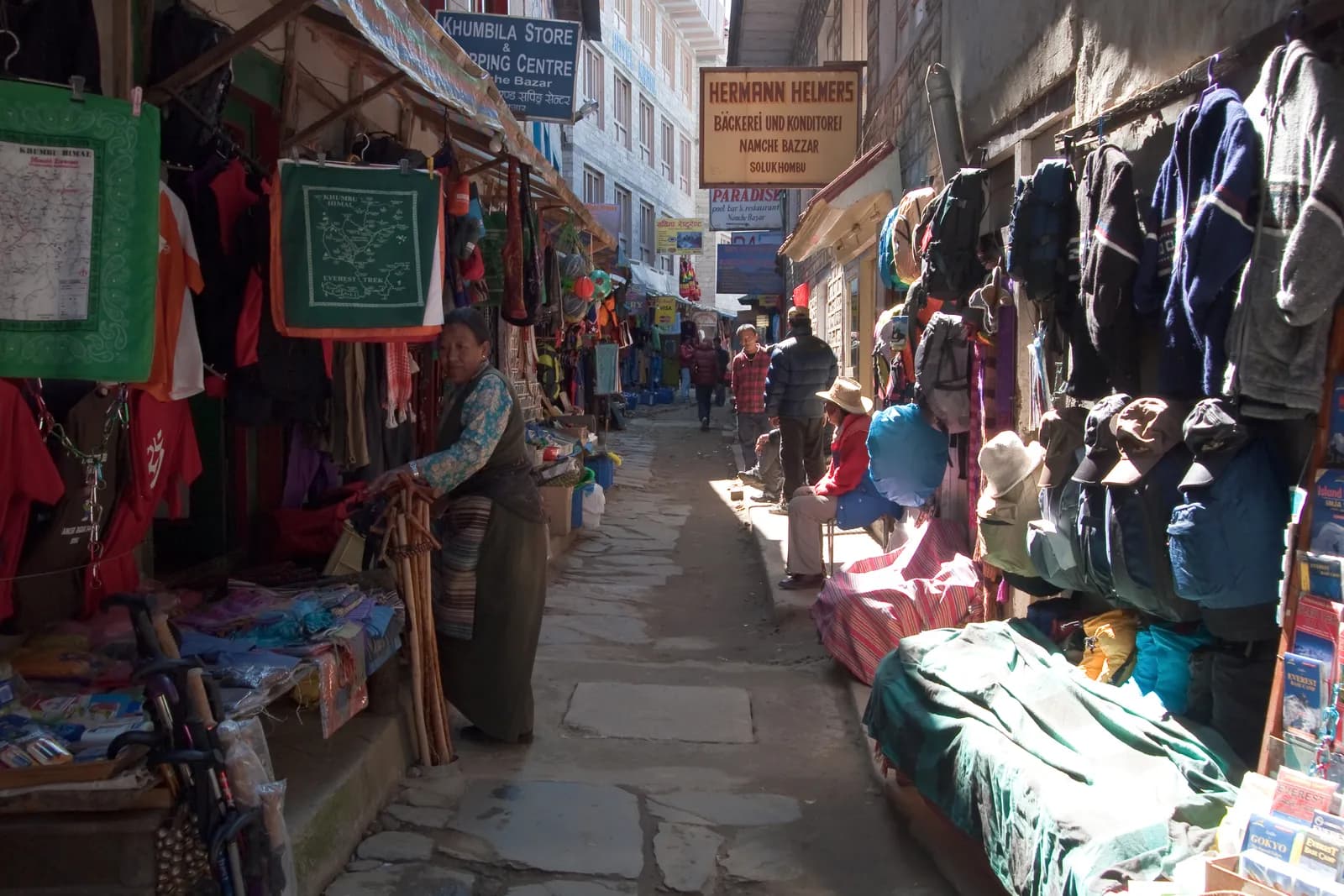 कभर फोटो: Vyacheslav Argenberg, CC BY 4.0
 कभर फोटो: Icicles Adventure Treks & Tours (P.) Ltd., CC BY-SA 4.0
 कभर फोटो: Vyacheslav Argenberg, CC BY 4.0
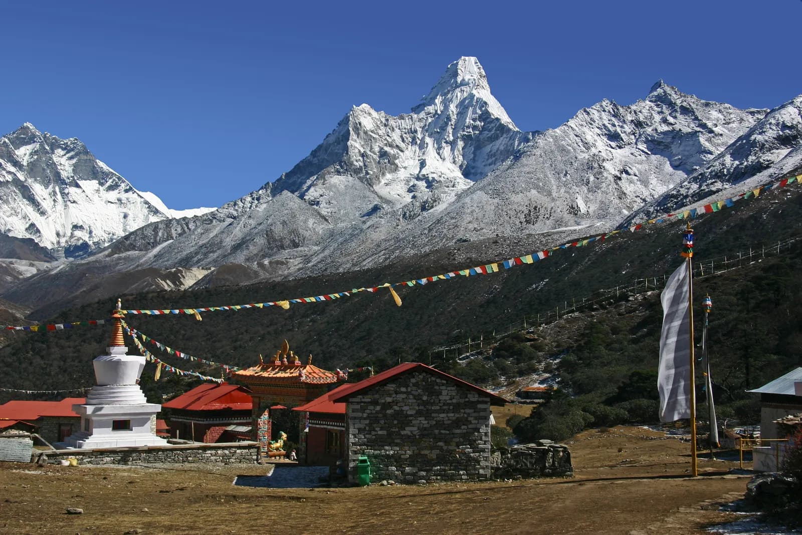 कभर फोटो: Gerd Eichmann, CC BY-SA 4.0कभर फोटो: Vyacheslav Argenberg, CC BY 4.0
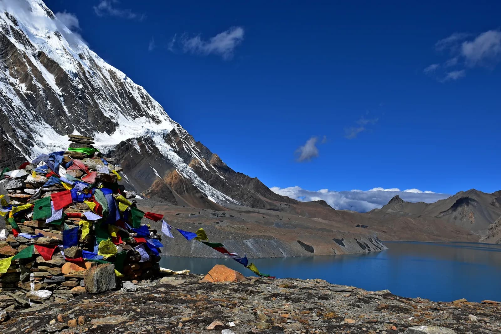 कभर फोटो: Prabeshsdev, CC BY-SA 4.0
स्रोतहरू
- Sagarmatha National Park (Wikipedia)
- Sagarmatha National Park, UNESCO World Heritage Centre
- Department of National Parks and Wildlife Conservation, Nepal
- Nepal Tourism Board
- Tenzing-Hillary Airport (Wikipedia)
- Tengboche Monastery (Wikipedia)
- Gokyo Lakes (Wikipedia)
- Himalayan Rescue Association
- OpenStreetMap (elevation tags of passes, peaks and villages)
Everest (Khumbu) ट्रेक गर्न तयार हुनुहुन्छ?
यी मितिका लागि ट्रेकिङ साथी भेट्नुहोस् वा आफ्नै मार्गको योजना बनाउन थाल्नुहोस्।