

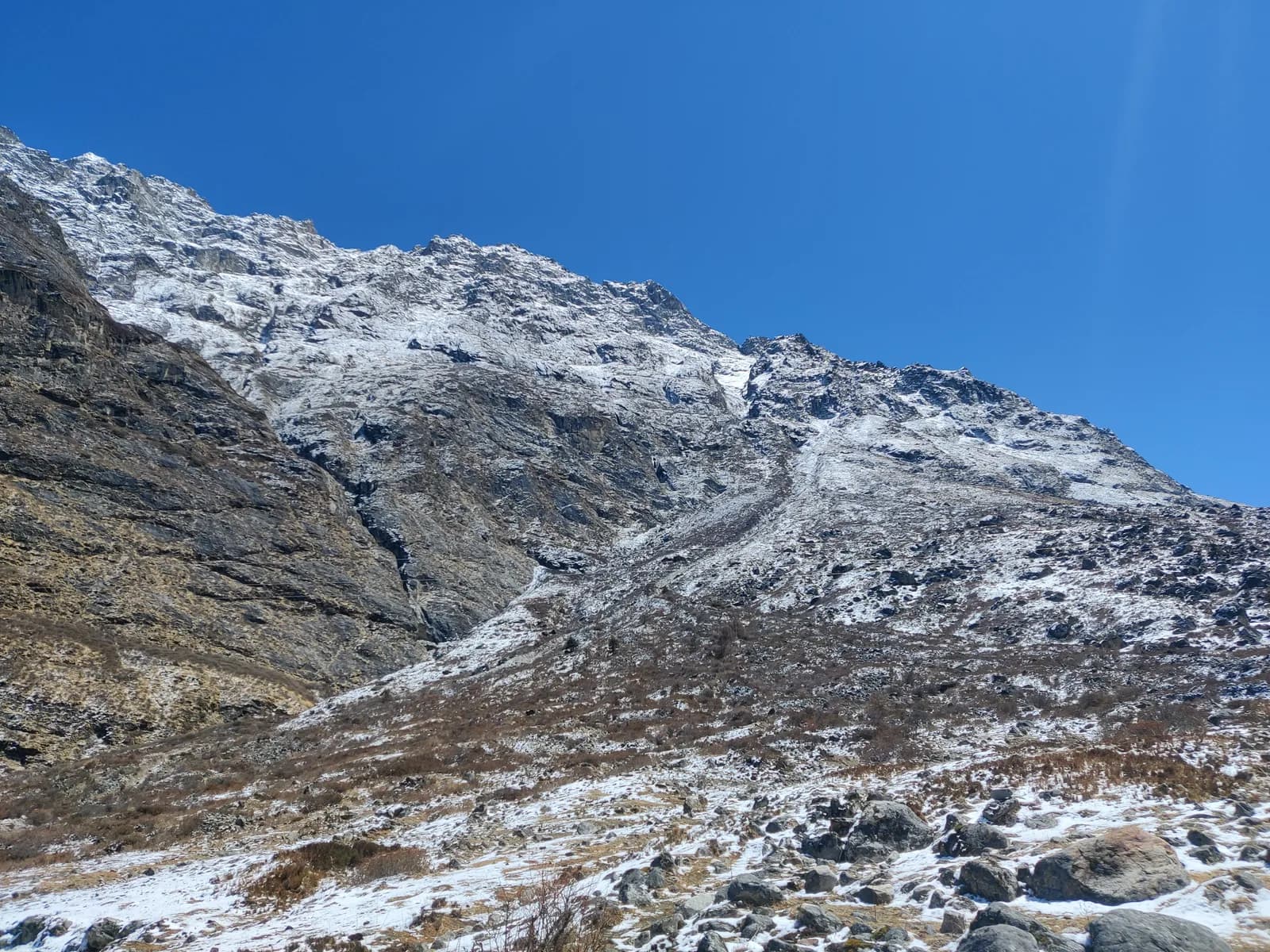
Langtang
Langtang is the closest big mountain trekking region to Kathmandu: a glaciated valley under Langtang Lirung, the sacred lakes of Gosaikunda and the Tamang villages of the Heritage Trail, all reached by road in one long day.
- Max altitudeKyanjin Ri (4,773 m)
- Days7–14
- DifficultyModerate
- Best monthsMar–May, Oct–Nov
- Permits3 permits
Photo: Pustam.EGR · CC BY 4.0
On 26 August 2026 a large rock-and-ice collapse from the north face of Langtang Lirung sent a debris flow down the Lhende Khola into the Bhote Koshi and Trishuli rivers, hitting Rasuwagadhi, Timure, Syabrubesi and Betrawati (ICIMOD). Many bridges and long stretches of the Pasang Lhamu Highway were damaged, and a large number of people died or are missing; reported figures differ by source.
What operators and local reports say (checked 19 October 2026):
- Syabrubesi, the usual Langtang road-head, is reported destroyed or closed as a trekking gateway, with the bridge to it swept away; restoration depends on the Betrawati highway reopening.
- The Trishuli Bazaar-Betrawati-Dhunche road was reported still closed for repair as of 21 September. A light-vehicle track has reopened, and agencies projected the remaining gaps passable no earlier than mid-October; that is a projection, not an official date.
- A reported alternative is to drive to Dhunche and walk via Thulo Syabru to Lama Hotel and Langtang. On 16 October local residents reported repairing the landslide-damaged trail sections above Paljor and below Rimiche.
- ICIMOD warns that loose debris in the valley can be remobilised by monsoon rain.
- A 23 September Met Office request that trekkers suspend Himalayan treks was reported; check whether it still applies.
- Helambu (walked from Sundarijal) is not on the Trishuli corridor, and no source we found reports damage there.
Do not plan an itinerary that starts or ends at Syabrubesi until it is confirmed open. We found no official reopening notice. Check current road and trail conditions with Langtang National Park and your trekking agency before booking, and do not rely on this summary alone.
Status checked 2026-10-19.
Sources: ICIMOD: Kyirong-Rasuwa flood, 26 August 2026 · Nepal Pyramids: Langtang Valley trek update after the 2026 flooding · Republica: locals reopen flood-damaged Langtang trekking route (16 Oct) · TravelNepal: Nepal floods 2026 travel safety update · Wikipedia: 2026 Nepal floods · Down To Earth: Langtang Lirung collapse
Check that your policy covers helicopter evacuation and trekking at this region's altitude. We don't sell insurance.
What to look forWritten by FindTrekkingPartner teamReviewed by FindTrekkingPartner teamHow we reviewFindTrekkingPartner
Langtang is a trekking region of Nepal, with routes of 7–14 days that climb to 4,773 m. Foreign trekkers can find a partner for treks here on FindTrekkingPartner by posting a trip with their dates, budget and pace. Matches stay private until both trekkers agree, and the service is free. At mid-range rates a licensed guide costs about USD 50 per person over 8 days when four trekkers share, against USD 200 for one trekker alone. The best seasons are Mar–May, Oct–Nov. A licensed guide is required in practice here: the Nepal Tourism Board April 2023 rule is reported by 2026 operators to be enforced at checkpoints in national parks and conservation areas, with Langtang the strictest and Annapurna checking too (checked 19 October 2026). Hire a guide through a registered agency and confirm with them. Last verified: October 21, 2026. Sources: Nepal Tourism Board, DNPWC, Department of Immigration.
Sources:Department of Immigration, NepalNepal Tourism BoardDepartment of National Parks and Wildlife Conservation
- Find a partner for Langtang Valley TrekNo open trips yet
- Find a partner for Gosaikunda Lake Trek2 open trips
- Find a partner for Tamang Heritage TrailNo open trips yet
- Find a partner for Helambu TrekNo open trips yet
Overview
- Licensed guide
- Required for foreign trekkers
- Minimum group
- 1 trekker
NTB rule (Apr 2023), enforced at checkpoints; Langtang is reported as the strictest and TIMS is checked. Checked 19 October 2026; see /guide-rule-nepal.
Popular treks
Starting points
Kathmandu, Syabrubesi
Getting there
By road from Kathmandu to Syabrubesi (about 117 km, 7 to 8 hours by jeep, 8 to 10 by bus) via Trishuli and Dhunche. There is no scheduled flight; the road is prone to landslides in the monsoon.
Langtang is the trekking region north of Kathmandu that most people reach by road in a single day. It lies in Langtang National Park in Rasuwa District, along the Trishuli road to Syabrubesi, and offers three classic treks: the Langtang Valley to Kyanjin Gompa, the high pilgrimage lakes of Gosaikunda, and the Tamang Heritage Trail through hill villages near the Tibetan border. The valley treks go as high as Kyanjin Ri (4,773 m) and Gosaikunda (4,380 m), with lodges in every village and no flight needed. Autumn (October to November) and spring (March to May) are the best seasons. Plan on 6 to 9 days, with a long jeep or bus ride at each end, and add a day if the road is affected by landslides. The region is compact, so it suits trekkers with limited time who still want real mountain scenery, Tamang culture and a gradual climb.
Overview of Langtang
Langtang National Park was established in 1976 as Nepal's first Himalayan national park. It covers about 1,710 km2 across Rasuwa, Nuwakot and Sindhupalchok, and it rises from subtropical forest below 1,000 m to the summit of Langtang Lirung at about 7,230 m. Rhododendron and oak forest, home to red pandas and Himalayan black bears, gives way to juniper and alpine meadow above 3,500 m.
The valley's people are mostly Tamang, with a Tibetan-influenced culture and Buddhist monasteries, stone houses and prayer flags. The April 2015 earthquake triggered an avalanche that buried the old village of Langtang, killing at least 215 people, and the village was rebuilt a little way from the old site. A memorial and a moving mani wall stand near the former settlement, so treat the area respectfully.
Best time to trek, month by month
- March: cold nights, clear days and the first rhododendron lower down. Snow can linger on the high sections.
- April: the spring peak. Rhododendrons flower, views are good and the valley is busy.
- May: warmer, with afternoon cloud and haze. Still a good month for Langtang and Gosaikunda.
- June to August: monsoon. Heavy rain, leeches and landslides on the Trishuli road; views are poor. The Gosaikunda lake festival of Janai Purnima, in August, draws pilgrims despite the rain.
- September: the rains fade and trails are green; visibility improves late in the month.
- October: the most popular month, with stable weather and clear views.
- November: colder but very clear and quieter; nights are freezing at Kyanjin Gompa.
- December to February: cold, with snow on the high trails. Experienced walkers only, and lodges at the top may be closed.
Routes compared
| Trek | Typical days | Highest point | Character |
|---|---|---|---|
| Tamang Heritage Trail | 7 | Nagthali, about 3,200 m viewpoint | Culture, homestays, hot springs, low altitude |
| Gosaikunda | 6 | 4,380 m | Short, steep climb to sacred alpine lakes |
| Langtang Valley | 8 | Kyanjin Ri, 4,773 m | Classic valley trek under glaciers and peaks |
You can combine the Langtang Valley with the Tamang Heritage Trail, or extend Gosaikunda over the Laurebina La to Helambu, both of which add three to five days.
Permits and rules
Langtang National Park requires an entry permit, which you can buy at the Nepal Tourism Board in Kathmandu or at the entrance in Dhunche, and a TIMS card where your agency or the checkpoint requires one. Permits are checked at Dhunche and Syabrubesi. Check the current fees with the issuing offices, because rates have changed in recent years.
Solo trekking and guides. The Nepal Tourism Board April 2023 rule requires foreign trekkers to use a licensed guide in national parks and conservation areas, and 2026 operator reports say checkpoints enforce it in Annapurna (ACAP), Langtang (the strictest) and most other parks, but not in Khumbu, where the municipality opted out (checked 19 October 2026). See the guide rule by region. Reports since then conflict on how strictly this is enforced. Treat a licensed guide or guide-porter as the safe assumption and confirm with the Tourism Board or a registered agency. The trails are well marked, but landslide damage and snow can make route-finding harder, and a guide makes sense for Gosaikunda in particular.
Getting there: the Trishuli road
The trek begins with a drive from Kathmandu to Syabrubesi, about 117 km on a road that runs through Trishuli and Dhunche. Allow 7 to 8 hours by jeep or 8 to 10 hours by local bus, depending on landslides and road repairs. The road is rough in places and prone to closures in the monsoon. Syabrubesi is the start of the Langtang Valley and Tamang Heritage Trail; Dhunche is the start for Gosaikunda, via Sing Gompa and Chandanbari. There is no flight to Langtang, but a helicopter can be chartered in an emergency.
Altitude and acclimatisation
The Langtang Valley gains altitude quickly: Syabrubesi is at 1,460 m, and Kyanjin Gompa at 3,870 m is only three walking days away. Many people feel altitude symptoms at Kyanjin, so take the rest day there, climb high and sleep low, and never ascend with headaches or nausea. Gosaikunda is steeper: you climb from 1,960 m at Dhunche to 4,380 m in two days. Ascend slowly, take an extra night at Sing Gompa or Laurebina if you can, and drink plenty of water. The Tamang Heritage Trail stays below about 3,200 m and is lower risk.
Lodges, costs and food
Lodges are simple and widely spaced along the main route, with stove-heated dining rooms and rooms with no heating. In Kyanjin Gompa, you can try yak cheese from the small cheese factory. On the Tamang Heritage Trail, homestays in villages such as Gatlang and Briddim give a chance to eat Tamang food and learn about local customs. Prices climb a little with altitude. Carry cash in rupees; there are no machines above Dhunche or Syabrubesi.
Connectivity
Mobile coverage exists in Syabrubesi, Lama Hotel and Kyanjin Gompa, though it is weak or absent in between. Lodges sell Wi-Fi by the day. Download offline maps, and tell someone your route each day.
Safety
- Landslides and rockfall threaten the Trishuli road and parts of the Langtang trail in the monsoon and after earthquakes. Check road conditions the day before.
- Avalanche paths cross the upper valley; do not camp or stop in them, especially in winter and early spring.
- The climb to Gosaikunda is steep and exposed above Laurebina; turn back if there is snow or cloud.
- Water sources are shared with livestock, so purify water.
- Carry travel insurance that covers helicopter evacuation above 4,000 m.
What to pack
Waterproof boots, merino or synthetic layers, a fleece, a down jacket, a shell jacket and trousers, warm hat and gloves, sun hat, sunglasses and strong sunscreen, trekking poles, a headlamp, water purification, a first-aid kit with blister care, and a sleeping bag rated to about -10 C for Kyanjin Gompa or Gosaikunda. Leave valuables in Kathmandu.
History and the 2015 earthquake
Langtang has been a trading route between Nepal and Tibet for centuries, and the Tamang people who live here are of Tibetan origin and speak Tamang, a Tibeto-Burman language. The Rasuwagadhi crossing, at the end of the road north of Syabrubesi, is still the main route for trade with Tibet.
The 25 April 2015 earthquake triggered a huge avalanche from Langtang Lirung that buried the village of Langtang, killing at least 215 people, including villagers, trekkers and national park staff. The village was rebuilt in a nearby location, lodges reopened, and the trails were repaired. Visitors today stay in the new village and pass a memorial on the way. A calm and respectful approach, and a willingness to talk to local people if they wish, are part of visiting.
Wildlife and nature
The park is home to red panda, Himalayan black bear, musk deer, Himalayan tahr, langur and rhesus monkeys, and snow leopard in the highest parts. The forest between Syabrubesi and Lama Hotel is a good place to look for langurs and birds. Red pandas are shy and nocturnal and rarely seen, but they live in the bamboo and rhododendron forest below 3,500 m. Do not try to approach any wildlife.
Responsible trekking
Langtang is a small region, and the busy autumn season puts pressure on lodges and trails. Carry out your rubbish, use treated water, respect the memorials and stay on paths. Hire local guides and porters and buy local products such as yak cheese. In homestays on the Tamang Heritage Trail, follow the village committee's rules and ask before photographing ceremonies.
Combining treks
Many trekkers combine Langtang with Gosaikunda: from Kyanjin Gompa, return to Syabru and climb to Gosaikunda, then cross the Laurebina La to Helambu, a 10 to 12 day route. Others do the Tamang Heritage Trail first and continue up the Langtang Valley, which makes a rewarding 12 to 14 day trip. Discuss the options with your guide, check conditions and keep extra days in hand for bad weather.
Money, insurance and logistics
Carry rupees and small notes for the whole trek, because machines are available only in Kathmandu and some larger towns. Insurance should cover trekking to 5,000 m and helicopter evacuation. If you are travelling by public bus from Kathmandu, leave early, take a seat in the front half and expect delays; a jeep is more comfortable but more expensive. Always check road conditions before leaving, as landslides on the Trishuli road can close the route for hours or days.
Food and drink
Lodges in Langtang serve the usual trekker menu of dal bhat, noodles, momos, fried rice and soups, but the valley has its own specialities. Kyanjin Gompa produces yak cheese at a small cheese factory, and local lodges bake bread and apple pies. On the Tamang Heritage Trail, homestays prepare Tamang dishes such as dhindo (a thick millet or maize porridge) with vegetable curry, potato dishes and local chilli pickles. Drink tea or hot lemon to stay warm, and avoid alcohol at altitude.
Arranging your trek
Many people arrange the trek through a registered agency in Kathmandu, which buys permits, books transport, supplies a guide and organises homestays. If you arrange things yourself, buy your national park permit in Kathmandu or at Dhunche and book the first night in Syabrubesi. A jeep is quicker and more comfortable than a bus, and you can share the cost with other trekkers. Whatever you choose, keep one spare day in your plan for landslides on the Trishuli road.
Kathmandu before and after
Most trekkers spend a night or two in Kathmandu before the drive, using the time to buy permits, rent gear and meet their guide. Thamel has gear shops, but check zips, seams and stitching before you pay, and avoid buying down jackets rated for expedition use that you do not need. After the trek, allow a rest day in the capital for laundry, repacking and sightseeing. Boudhanath, the great stupa northeast of the city, reflects the same Tibetan Buddhist culture you meet in the Langtang villages, and it is a gentle way to finish.
All routes in this region
Every standard route we cover here. Tap a route to open its day-by-day itinerary.
Compare routes
Sort the routes by length, height, difficulty or estimated cost to find your fit.
Sorted by Days ↑
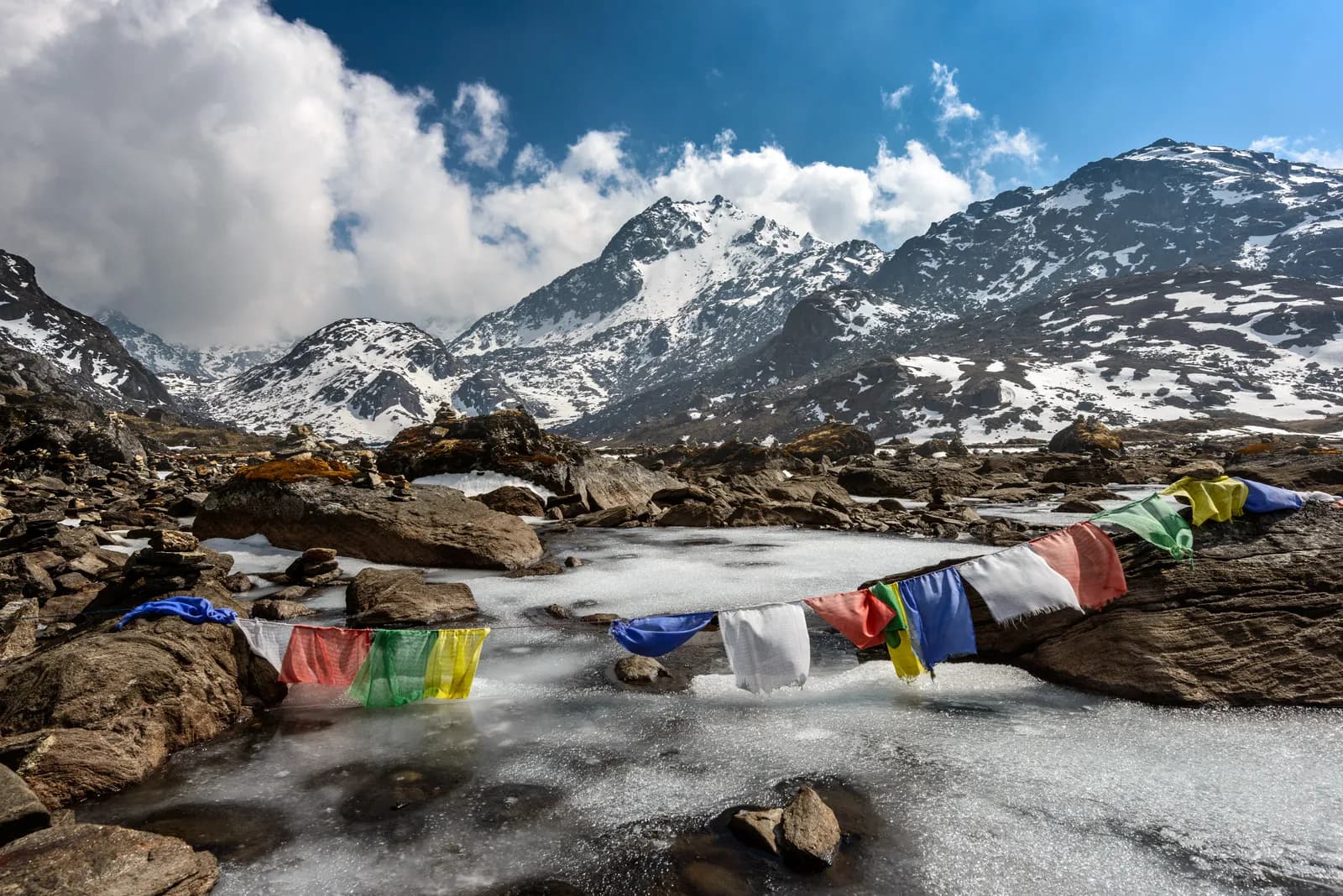
Gosaikunda Lake Trek Draft
64,380 m32.2 km
ModerateDay by day
Tamang Heritage Trail Draft
73,200 m41.2 km
ModerateDay by day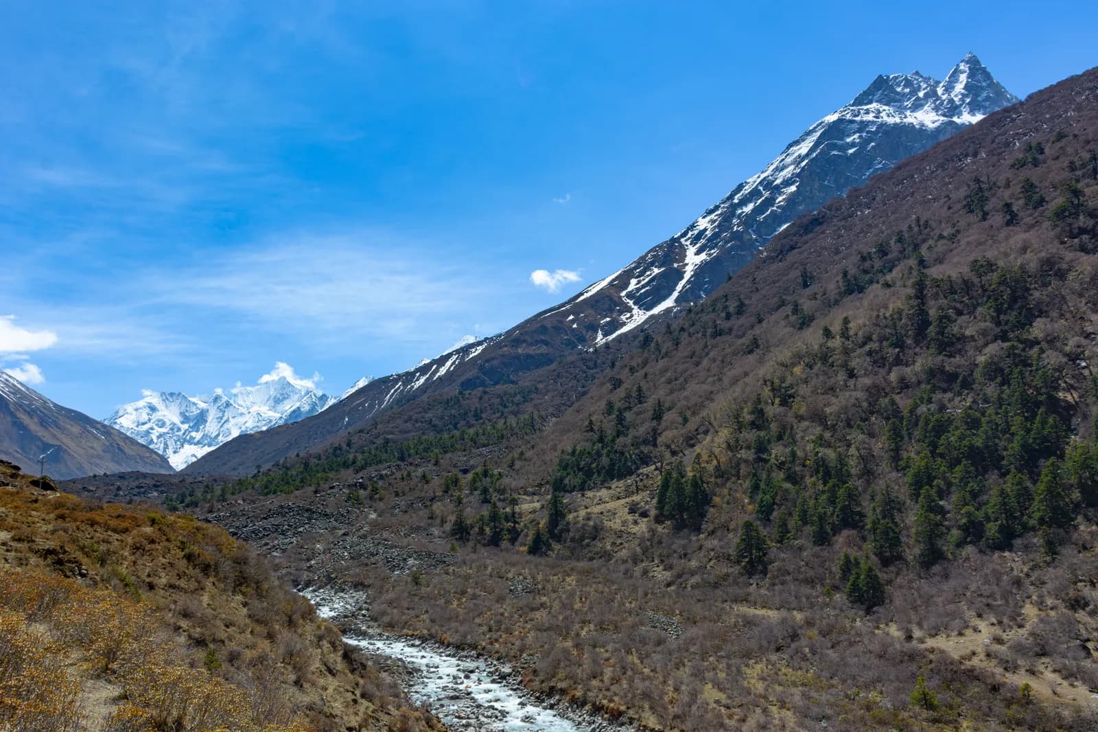
Langtang Valley Trek
84,773 m60.9 km
ModerateDay by day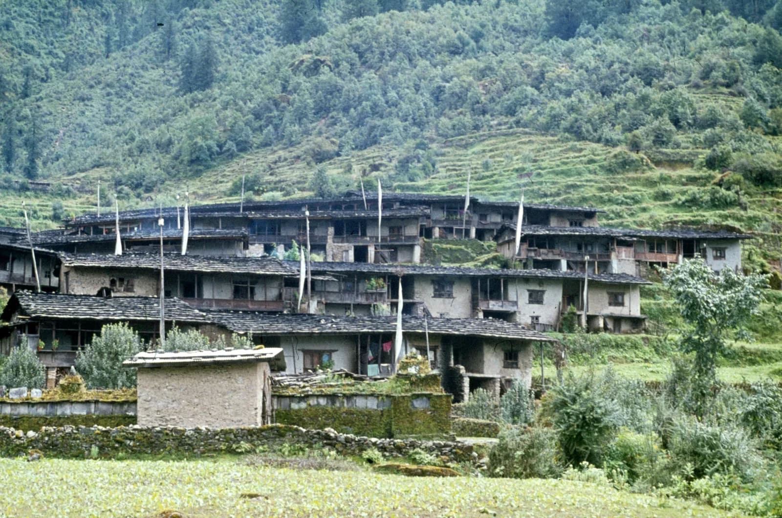
Helambu Trek Draft
83,650 m73.2 km
ModerateDay by day
| Route | |||||
|---|---|---|---|---|---|
| Gosaikunda Lake Trek | 6 | 4,380 m | Moderate | 32.2 km | from NPR 20,000 |
| Tamang Heritage Trail | 7 | 3,200 m | Moderate | 41.2 km | from NPR 23,000 |
| Langtang Valley Trek | 8 | 4,773 m | Moderate | 60.9 km | from NPR 26,000 |
| Helambu Trek | 8 | 3,650 m | Moderate | 73.2 km | from NPR 26,000 |
Cost is an estimate: the region's budget-style daily rate times the days, without flights or permits.
Best time to trek
Highlighted months are the recommended trekking seasons. Mar–May · Oct–Nov
Best seasonOther months
Live conditions
Notes entered by our team from the sources linked on each item. Conditions change quickly, so confirm with your guide or lodge before you set off.
Best seasons: Mar–May · Oct–Nov
Nothing recent on file. Check with your guide or lodge before you go.
Permits and fees
Fees are per person and depend on your nationality group.
| Permit | Foreigner | SAARC | Nepali |
|---|---|---|---|
Langtang National Park entry | NPR 3,000 | NPR 1,500 | NPR 100 |
TIMS card | NPR 2,000 | NPR 1,000 | Not required |
Shivapuri Nagarjun National Park entry permit | NPR 1,000 | NPR 600 | — |
- Where to buy
Park office at Dhunche
Nepal Tourism Board, Kathmandu (Bhrikutipath), or the park office at Dhunche
Nepal Tourism Board offices in Kathmandu (Bhrikutipath) and Pokhara
Nepal Tourism Board offices in Kathmandu (Bhrikutipath) and Pokhara, usually arranged by your agency
Department of National Parks and Wildlife Conservation
- Documents needed
Passport copy, 2 passport photos (or digital), travel insurance details, itinerary
Daily costs
Per person per day on a teahouse trek. Guide and porter are per group/porter per day. As of October 2026.
Typical total for Langtang Valley Trek, 2 trekkers sharing
- Budget
- $280–$430
- Mid-range
- $470–$760
- Comfort
- $580–$920
| Style | Per day | Guide / day | Porter / day | Sample total |
|---|---|---|---|---|
| Budget | NPR 2,500–3,700 | NPR 3,350 | NPR 2,750 | NPR 21,900–36,500 |
| Mid-range | NPR 3,300–4,900 | NPR 3,350 | NPR 2,750 | NPR 56,700–99,500 |
| Comfort | NPR 4,300–6,300 | NPR 3,350 | NPR 2,750 | NPR 65,100–110,900 |
Budget: Kathmandu to Syabrubesi local bus about NPR 800 to 1,500, shared jeep NPR 1,500 to 3,000, private jeep NPR 15,000 to 29,500 per vehicle.
Mid-range: Kathmandu to Syabrubesi local bus about NPR 800 to 1,500, shared jeep NPR 1,500 to 3,000, private jeep NPR 15,000 to 29,500 per vehicle.
Comfort: Kathmandu to Syabrubesi local bus about NPR 800 to 1,500, shared jeep NPR 1,500 to 3,000, private jeep NPR 15,000 to 29,500 per vehicle.
Rules and good practice
Guides
- All regions
Foreign trekkers must trek with a licensed guide in national parks and conservation areas (in force since April 2023). Enforcement varies by region, so verify the current rule before you go.
Permits
- Langtang
TIMS and the Langtang National Park permit are checked at Dhunche.
- All regions
Carry your permits at all times; they are checked at several checkpoints along every route.
Safety & altitude
- Langtang
The road to Syabrubesi is landslide-prone in the monsoon; check conditions before travelling.
- All regions
Buy travel insurance that covers helicopter rescue to at least 6,000 m.
- All regions
Climb high, sleep low: above 3,000 m, avoid raising your sleeping altitude by more than about 500 m per day, and add rest days.
Conservation
- All regions
Carry out all non-burnable waste (batteries, plastic, wrappers) and use a refillable water bottle.
Culture
- All regions
Respect monasteries: walk clockwise around stupas and mani walls, and remove shoes where asked.
- All regions
Ask before photographing people, especially at religious sites and ceremonies.
Drones
- All regions
No drones without prior permission from the relevant authority.
Photos
Frequently asked questions
Eight days from Kathmandu covers the drive, the walk to Kyanjin Gompa, a rest day with a hike up Kyanjin Ri and the return. Seven is possible but leaves little time for acclimatisation.
October and November, then March to May. The monsoon brings landslides on the Trishuli road and poor views; winter is cold with snow on the upper trails.
By road from Kathmandu to Syabrubesi, about 117 km and 7 to 8 hours by jeep, longer by bus. There is no flight.
Yes, a Langtang National Park entry permit and, where required, a TIMS card. Buy them in Kathmandu or at Dhunche, and check current fees with the issuing offices.
The Nepal Tourism Board April 2023 rule requires foreign trekkers to use a licensed guide in national parks and conservation areas, and 2026 operator reports say checkpoints enforce it in Annapurna (ACAP), Langtang (the strictest) and most other parks, but not in Khumbu, where the municipality opted out (checked 19 October 2026). Confirm with a registered agency.
An avalanche triggered by the April 2015 earthquake destroyed the old village of Langtang and killed at least 215 people. The village has since been rebuilt nearby.
Yes, it is closer to Kathmandu, needs no flight and has fewer visitors. The high point, Kyanjin Ri at 4,773 m, is lower than Everest or the Annapurna Circuit.
Yes. Combined itineraries usually take 10 to 14 days; Gosaikunda can also continue over Laurebina La to Helambu.
Open trips
Guides about Langtang
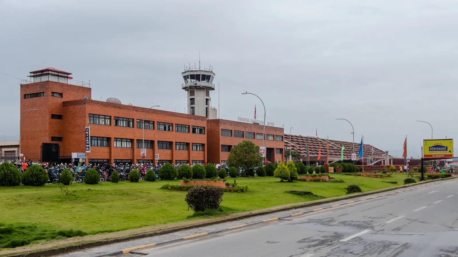 Cover photo: Bijay Chaurasia, CC BY-SA 4.0
 Cover photo: Gerd Eichmann, CC BY-SA 4.0
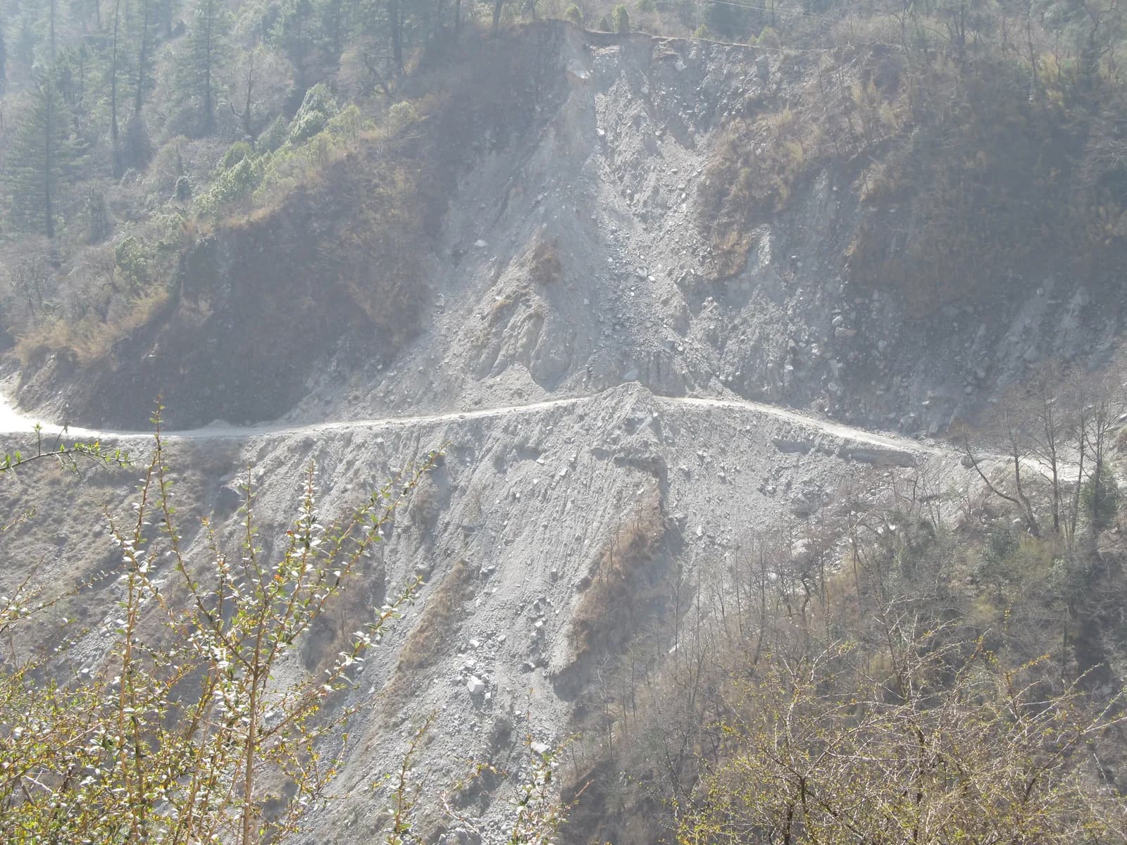 Cover photo: Sundar1, CC BY-SA 3.0
 Cover photo: Vyacheslav Argenberg, CC BY 4.0
 Cover photo: Gerd Eichmann, CC BY-SA 4.0Cover photo: Sundar1, CC BY-SA 3.0
Sources
Ready to trek Langtang?
Find a trekking partner for these dates or start planning your own route.