Manaslu Circuit itinerary, day by day
A 14-day Manaslu Circuit itinerary with the permit checkpoints, two acclimatisation days, the Larkya La crossing and the road legs at both ends, with sleeping altitudes for every night.
The Manaslu Circuit in this itinerary takes 14 days: an eight-hour jeep ride from Kathmandu to Machha Khola, ten days on foot up the Budhi Gandaki valley and over the Larkya La (5,106 m) to Dharapani, then drives back through Besisahar. It is a restricted-area trek, so a Restricted Area Permit, a registered agency and a licensed guide are part of the plan from day one. Two full rest days at Samagaun and Samdo give your body time before the pass.
Below is the day-by-day plan with the sleeping altitude each night, the permit checkpoints and what to expect on the Larkya La day. The route data is on the Manaslu Circuit page and the Manaslu region guide.
Open trips on Manaslu Circuit Trek
Real trips posted by trekkers looking for partners.
The 14 days at a glance
| Day | From - to | Time | Sleep |
|---|---|---|---|
| 1 | Kathmandu - Machha Khola | 8-9 h drive | 870 m |
| 2 | Machha Khola - Jagat | 6-7 h | 1,340 m |
| 3 | Jagat - Deng | 6-7 h | 1,860 m |
| 4 | Deng - Namrung | 6-7 h | 2,630 m |
| 5 | Namrung - Lho | 4-5 h | 3,170 m |
| 6 | Lho - Samagaun | 3-4 h | 3,530 m |
| 7 | Samagaun (rest) | 4-6 h hike | 3,530 m |
| 8 | Samagaun - Samdo | 3-4 h | 3,875 m |
| 9 | Samdo (rest) | 3 h hike | 3,875 m |
| 10 | Samdo - Dharamsala | 4 h | 4,470 m |
| 11 | Dharamsala - Larkya La - Bimthang | 8-10 h | 3,720 m |
| 12 | Bimthang - Tilije | 5-6 h | 2,300 m |
| 13 | Tilije - Dharapani - Besisahar | 3 h walk plus drive | 760 m |
| 14 | Besisahar - Kathmandu | 6-7 h drive | 1,400 m |
Day 1: Kathmandu to Machha Khola (870 m)
The jeep follows Dhading, Arughat and Soti Khola on a rough, dusty road, with the last stretch a narrow track cut into the hillside above the Budhi Gandaki. Landslides can delay you in the monsoon, and there is no air access, so arrive with a spare day in the plan. Check your gear and paperwork tonight.
Day 2: Machha Khola to Jagat (1,340 m)
Follow the Budhi Gandaki upstream, crossing suspension bridges and passing the hot spring at Tatopani. Jagat has the first checkpoint where your Restricted Area Permit is inspected. It is a six to seven hour day with plenty of ups and downs along the gorge.
Day 3: Jagat to Deng (1,860 m)
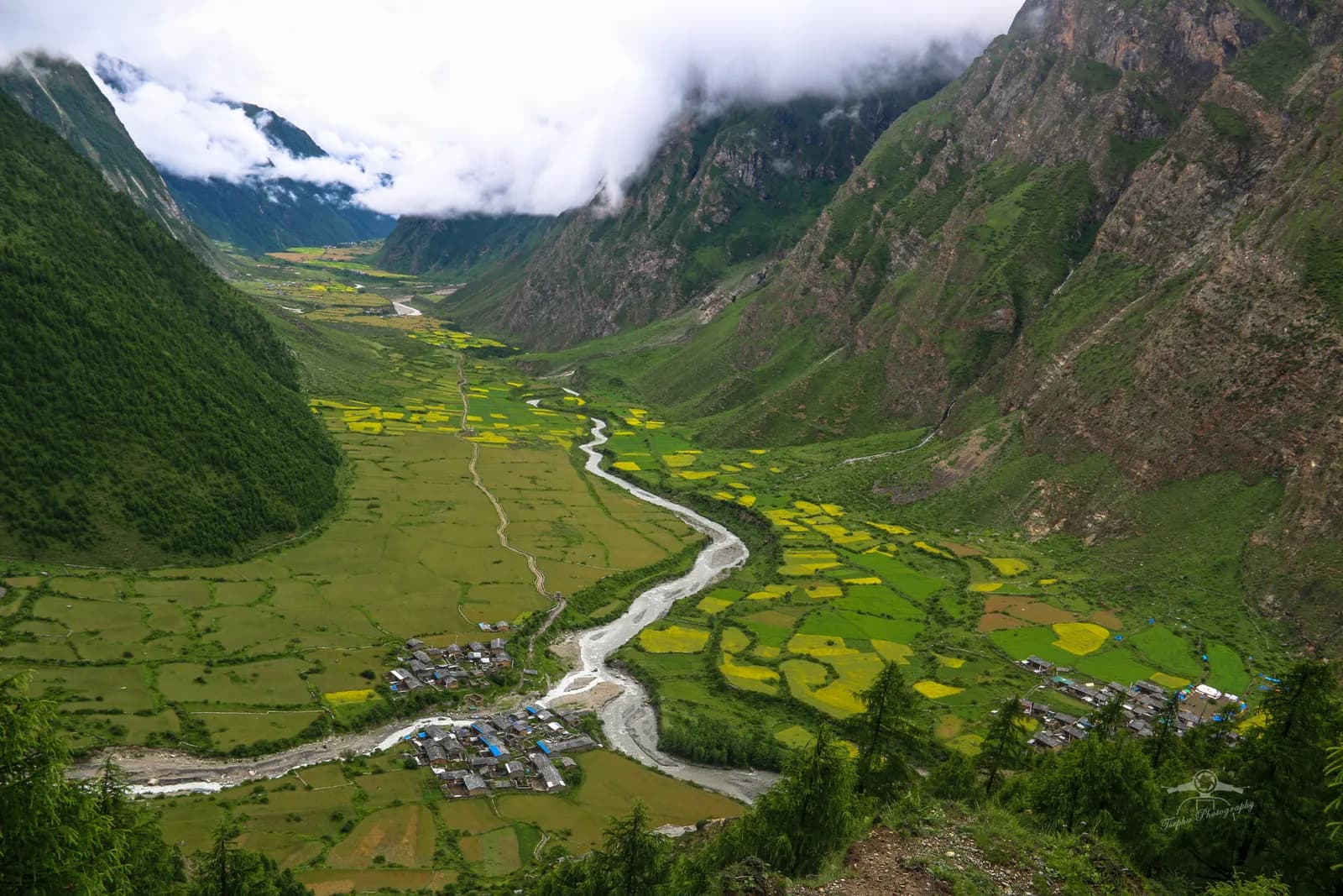
The path climbs through Salleri and Sirdibas to Philim, a large Gurung village where the trail to the Tsum Valley branches off. Beyond it you walk through bamboo forest along the gorge and cross the river several times on suspension bridges to Deng. Landslides sometimes affect this narrow section.
Day 4: Deng to Namrung (2,630 m)
Climb steeply through forest to Bhi, Ghap and Lihi, where you first see Tibetan-style mani walls and chortens. Namrung has a second checkpoint and a small monastery. At this stage you are gaining roughly 770 m of sleeping altitude, still below the 3,000 m mark where the CDC advises a 500 m per night limit.
Day 5: Namrung to Lho (3,170 m)
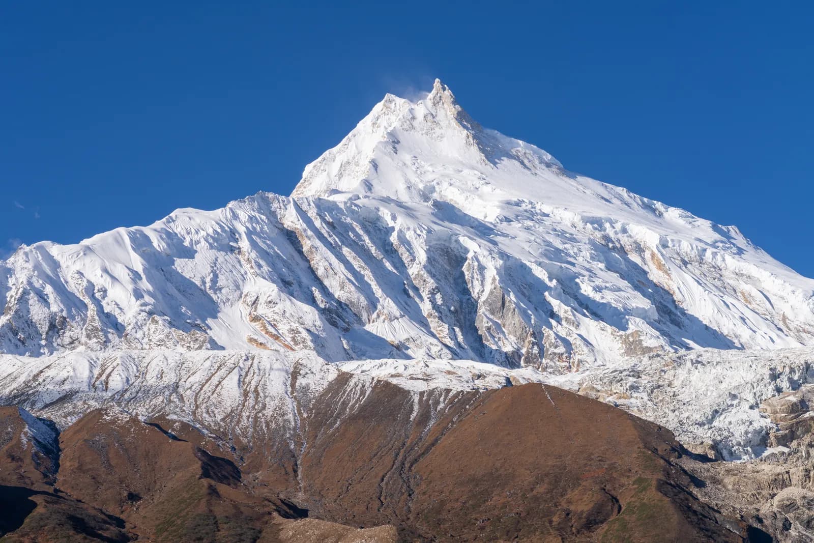
Walk through juniper and rhododendron to Sho and on to Lho, a large village with a monastery above the houses and a view of Manaslu. The altitude is now noticeable, so walk slowly and drink water. Sunset on Manaslu from Lho is a highlight.
Day 6: Lho to Samagaun (3,530 m)
A short day through Shyala, with views of Himalchuli and Ngadi Chuli, to Samagaun, the largest village in the upper valley. The sleeping altitude rises about 360 m, within the guideline.
Day 7: rest day at Samagaun
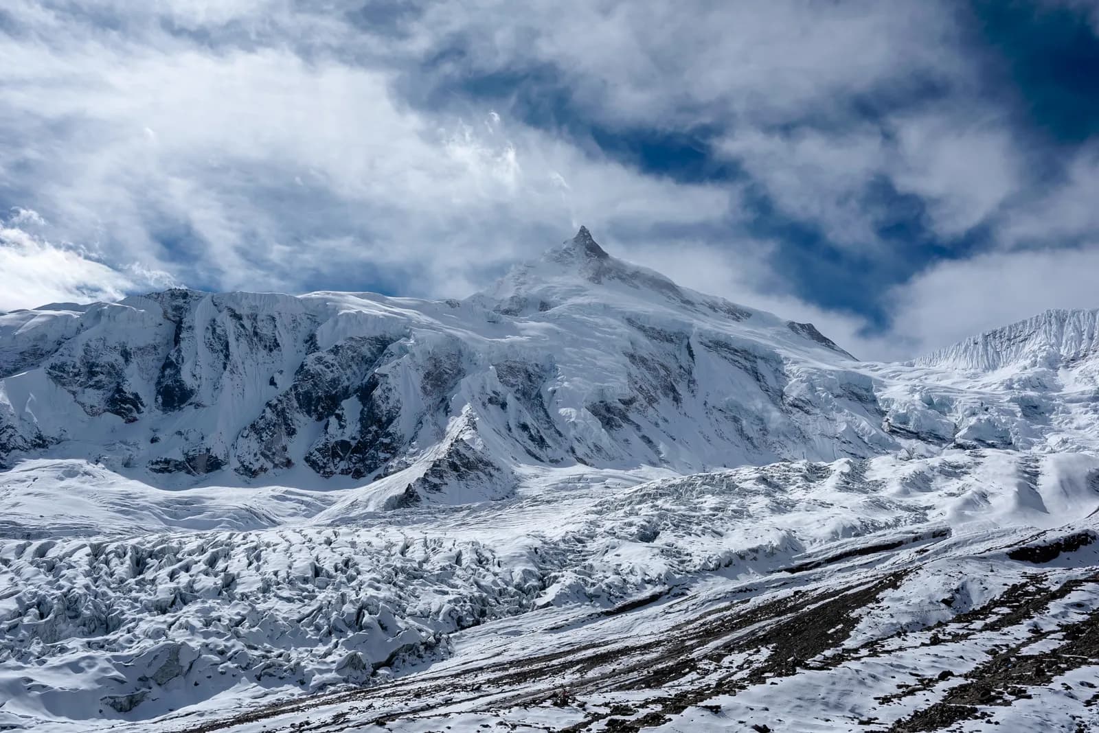
Choose a hike: Pungyen Gompa at about 3,870 m with views of Manaslu and its glacier, or Birendra Lake at the foot of the glacier. A longer option is towards Manaslu Base Camp at about 4,800 m, but go only as far as you feel comfortable, because you must come back to sleep at 3,530 m.
Day 8: Samagaun to Samdo (3,875 m)
An easy three to four hour walk along the valley floor to Samdo, a Tibetan trading village near the border. Walk up the hill behind the village in the afternoon for the view.
Day 9: rest day at Samdo
A second rest day before the pass. Take a short hike toward the Tibetan border or to a viewpoint, then return. Check gloves, hat, goggles and microspikes, and talk to your guide about conditions on the pass.
Day 10: Samdo to Dharamsala (4,470 m)
A short four-hour day over moraine to Dharamsala (Larkya Phedi), a stone shelter and a few basic lodges at the foot of the pass. Rest, eat and go to bed early. The sleeping altitude rises about 595 m, slightly above the guideline, and the preceding rest days are what make this reasonable.
Day 11: Larkya La (5,106 m) to Bimthang (3,720 m)
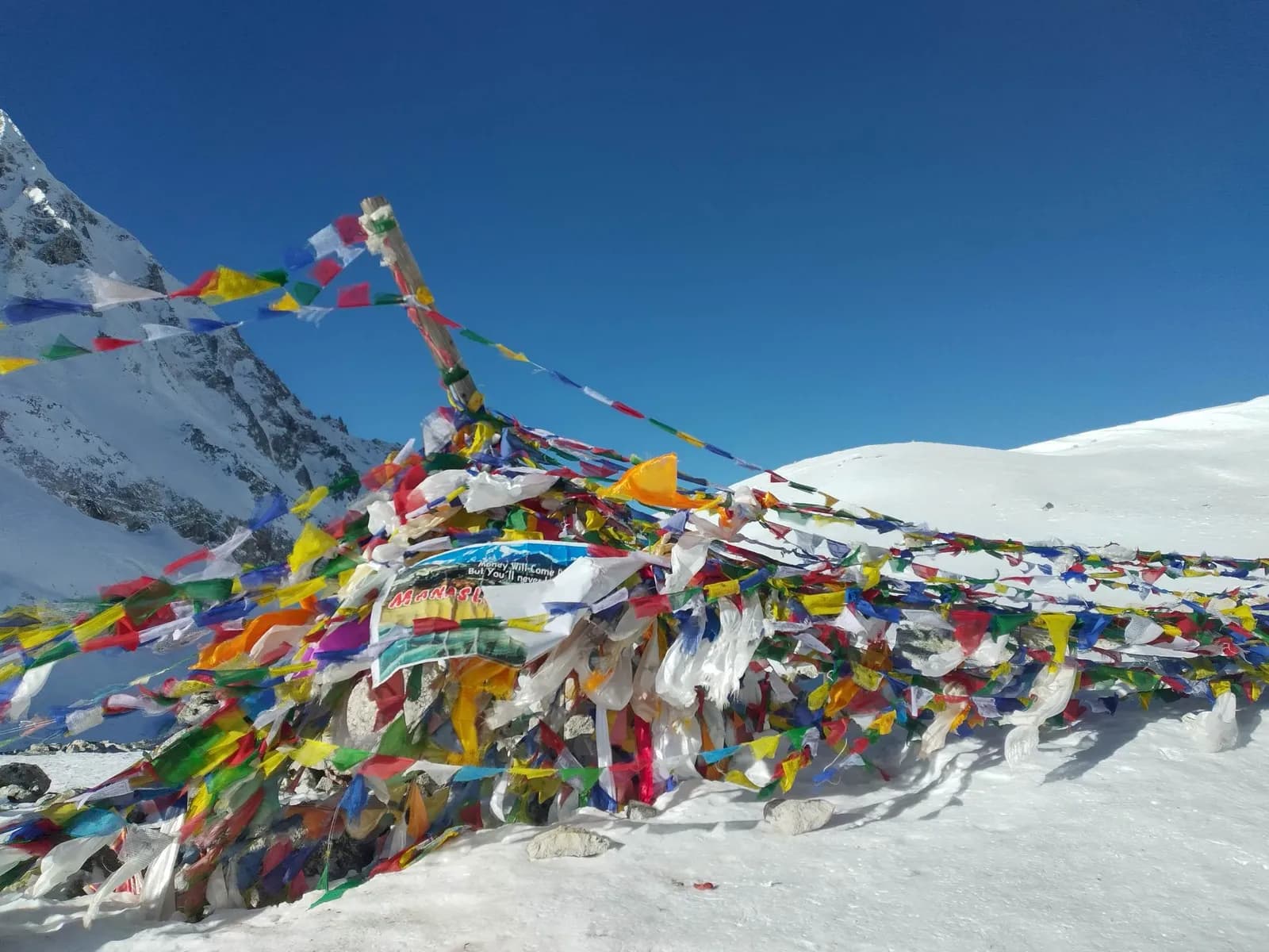
Start before dawn. Climb steeply over moraine and snow to the top of the pass, which takes three to four hours, with prayer flags and views of Manaslu, Himlung Himal and Cho Danda. The top is cold and windy. The descent is steep and icy, down a long moraine slope to Bimthang, a broad valley with views of Manaslu's western face. It is eight to ten hours in total. Turn back or wait a day if the weather is bad: the guide's call is final.
Days 12 to 14: out to the road
Day 12 descends through rhododendron and pine past yak pastures to Tilije (2,300 m), a steep five to six hours, so use poles. Day 13 reaches Dharapani, where the route meets the Annapurna Circuit, then a jeep to Besisahar. Day 14 is the six to seven hour drive back to Kathmandu. Do not schedule an international flight for the same evening.
What to carry for the pass
The Larkya La day is the one that needs the full kit: a warm hat and gloves, goggles or sunglasses, a windproof shell, a headlamp with spare batteries, a hot drink in a flask and microspikes if your guide says snow is likely. Pack lunch the night before, because there is nowhere to buy food on the way up. Keep a layer ready at the top, where the wind makes it feel much colder than at Dharamsala, and keep your water from freezing by carrying the bottle inside your jacket.
Permits and checkpoints in the plan
| Where | What is checked |
|---|---|
| Kathmandu, before day 1 | Agency arranges the Restricted Area Permit and the conservation area permits |
| Jagat (day 2) | Restricted Area Permit |
| Namrung (day 4) | Permits again |
| Dharapani (day 13) | You join the Annapurna Conservation Area, where its permit applies |
Read the permits explainer and the guide rule article before you pay anyone, and see our Nepal trekking cost guide for what the agency price covers.
Sharing and variations
The guide and permit costs make this the trek where a group saves most. You can add the Tsum Valley side trip from Philim, or a day at Bimthang, but keep both rest days. For a gentler first Himalayan trek, see our first-time trekking guide, and compare all the itineraries.