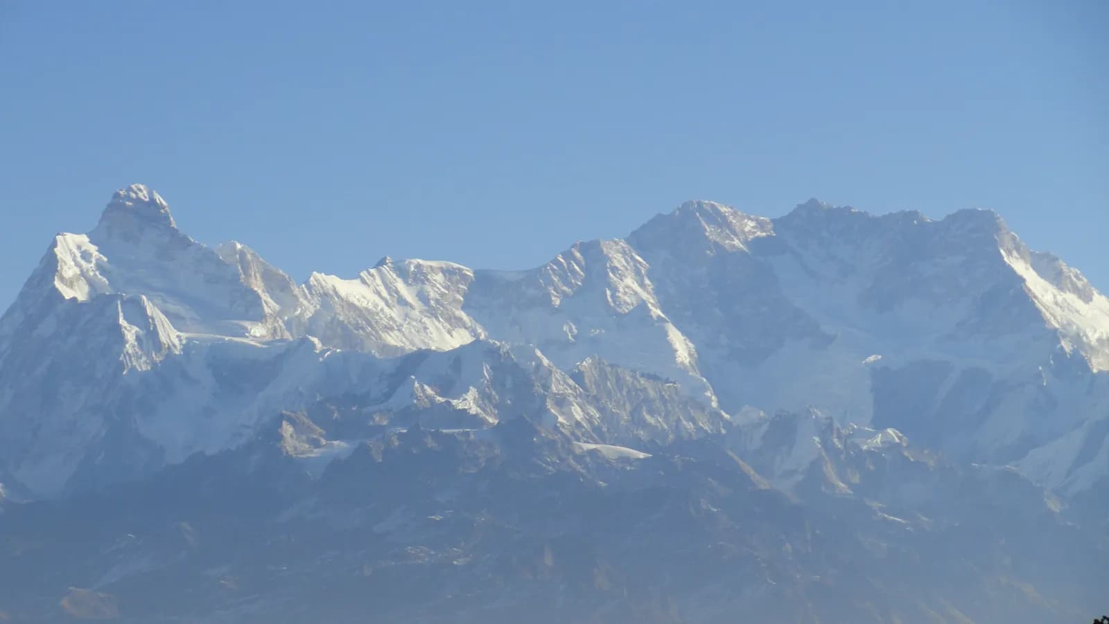
Kanchenjunga region trekking guide
What trekking in the Kanchenjunga region involves: who it suits, north versus south base camp, the three passes, the permit position, the road in and the months that work.
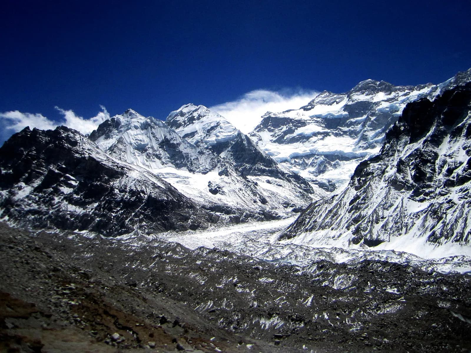
The Kanchenjunga region is the far north-eastern corner of Nepal, in Taplejung District on the border with Sikkim and Tibet. Trekking here means a restricted-area permit, a licensed guide, a flight to Bhadrapur and two long road days at each end, in return for Pangpema (about 5,140 m), the north base camp of the world's third-highest mountain at 8,586 m, and very few other trekkers. The full circuit takes 21 days on the Kanchenjunga Circuit page; the shorter north-only or south-only versions take roughly two to two and a half weeks.
That answers the planning question most readers have: this is a trek for people with several multi-day treks behind them, three weeks to spare and a tolerance for basic lodges. It is not a first Himalayan trek. If you are still choosing, our guide to which Nepal trek suits you is a better place to start, and the Kanchenjunga region page holds the reference data this article builds on.
Kanchenjunga Circuit का खुला ट्रिपहरू
साथी खोजिरहेका ट्रेकरहरूले पोस्ट गरेका वास्तविक ट्रिपहरू।
How the region is laid out
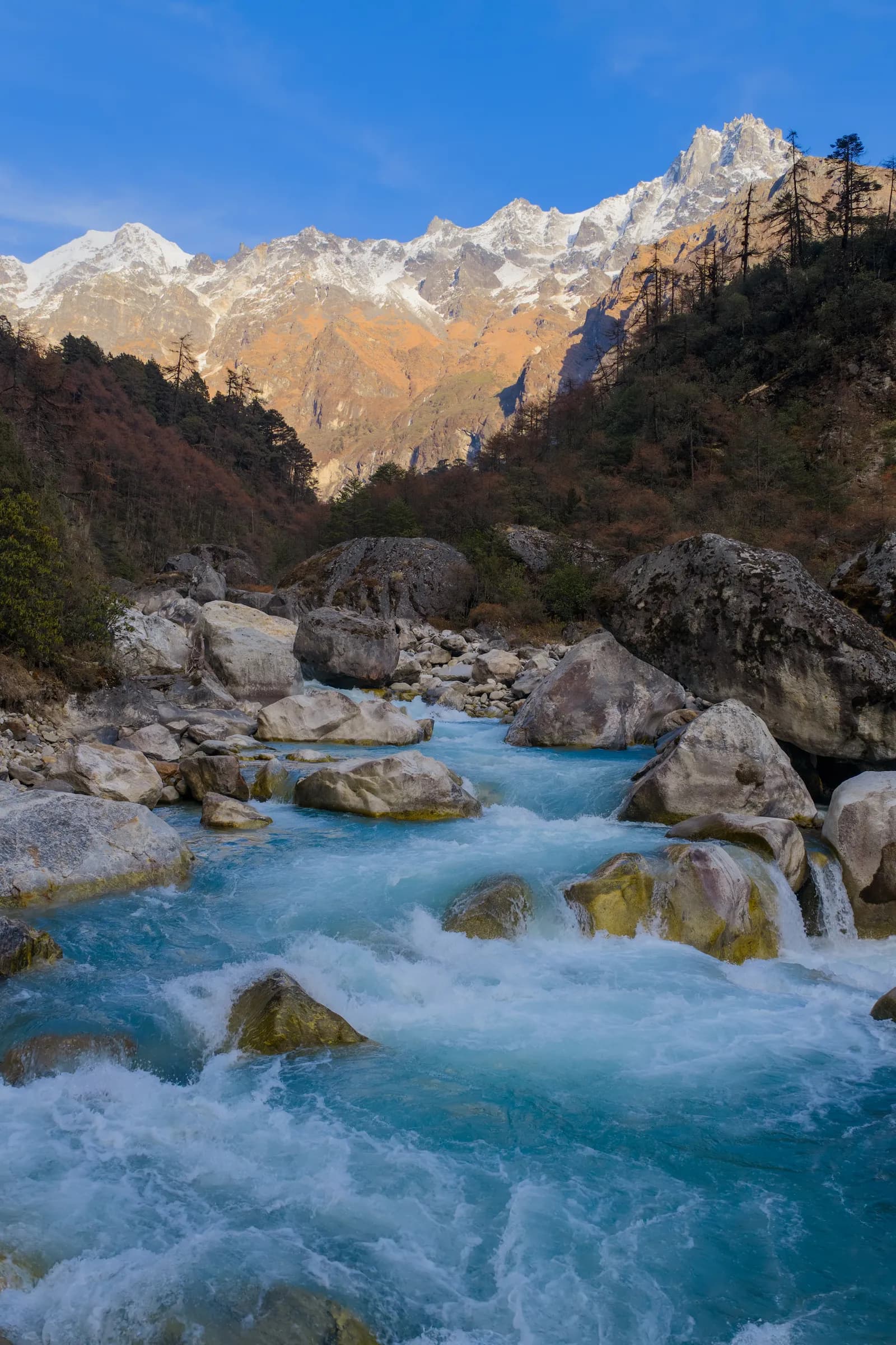
The massif has two sides that you can walk separately or join. The north side follows the Ghunsa Khola from the road at Sekathum (about 1,850 m) through Amjilosa, Gyabla and Ghunsa (3,440 m) to Kambachen (about 4,090 m), Lhonak (about 4,770 m) and finally Pangpema. The south side starts at Yamphudin (about 1,700 m) and climbs through Tortongdin to Tseram (about 3,860 m) and Ramche (about 4,480 m), which looks across the Yalung glacier to the south face. Between Ghunsa and Tseram sit the Sele La, Mirgin La and Sinelapche La, three saddles at about 4,640, 4,650 and 4,709 m according to OpenStreetMap, which the circuit crosses in one long day from Selele.
The route therefore has three characters. The lower valleys are warm and green, with Limbu villages, cardamom terraces and rhododendron forest. Ghunsa and Kambachen are Sherpa and Tibetan-speaking settlements with a gompa and yak pasture. Above them the terrain is moraine, with the Kangchenjunga (Lhonak) glacier on the north and the Yalung glacier on the south.
North base camp, south base camp or both
The two base camps are very different days out. Pangpema is reached by sleeping at Lhonak and walking about 15 km there and back in 9 to 10 hours, climbing roughly 550 m. It is the better mountain view, and the one most people mean by "Kanchenjunga base camp". Ramche is a shorter, gentler goal: the climb from Tseram is about 620 m in 3 to 4 hours, and the rest-day walk toward Oktang adds about 290 m of climbing to a viewpoint above the Yalung glacier. Ramche has the more intimate setting, with Kabru and Rathong in view.
If you have limited days, the north is the stronger choice. If you are worried about altitude, the south side keeps you below Ramche's 4,480 m, whereas Lhonak and Pangpema take you above 4,700 and 5,000 m. Doing both ends is what the circuit is for, and it is also where the difficulty is, because the pass day between Selele and Tseram is rated 6 to 8 hours in the day plan, with about 610 m of climbing and 940 m of descent.
Who this trek suits
The pack rates the circuit as hard. That reflects five things: length, remoteness, the number of nights above 4,000 m (Kambachen, Lhonak, Selele and Ramche), the pass day, and the fact that comfort drops as you climb. You should already be comfortable walking six to eight hours with a pack, and know how your body reacts to sleeping above 3,500 m. The nights at Lhonak and Ramche are cold, and the region page suggests dressing for about minus 15 C there in spring and autumn, so people who dislike cold nights will not enjoy it.
It also suits a certain temperament. Villages are small, menus are short, and you will spend evenings in simple dining rooms. If you want bakeries and Wi-Fi, the Annapurna or Everest regions fit better. If you want to be the only foreigner in a village, this is the place.
Seasons in practice
October is the most reliable month: clear air, stable weather and harvest in the villages. November is colder and clearer, with hard frosts at Ghunsa and Kambachen and lodges higher up starting to close at the end of the month. April is the spring peak with rhododendron blooming up the valley, and May brings warmth but afternoon cloud and haze. March suits the north base camp better than the full circuit because the passes can still be snowbound. June to August is monsoon, with leeches, landslides on the Taplejung road and cloud on the mountain, and the pack does not recommend it. Winter is for experienced trekkers with camping support.
Whichever month you choose, keep two spare days in the schedule. The pass crossing depends on snow, and the road at each end depends on weather and landslides.
Permits and rules in plain terms
The pack's position is this. You need a Restricted Area Permit from the Department of Immigration, applied for through a registered trekking agency, a Kanchenjunga Conservation Area entry permit, and a TIMS card where the local office asks for it. A licensed guide must accompany you throughout. Reports of a March 2026 notice say individual foreigners may now apply, but that the permit still needs an agency and a guide, and a Kantipur report of 6 May 2026 covers controlled areas across 13 districts. We could not confirm the official text of either, so treat both as reasons to ask your agency for the current rule in writing. Our permits and rules overview explains how the permit system fits together, and the guide rule explainer covers where guides are required.
As of October 2026 the Kanchenjunga Conservation Area entry permit is NPR 2,000 per foreigner and the Taplejung restricted-area permit is USD 20 per person per week, so USD 60 for the 17 permit days of the Kanchenjunga Circuit plan. The number of days charged has changed before, so confirm it with the Department of Immigration or the conservation area office through your agency; our permits article has the details.
The road in, and why it dominates the schedule
The access route is a flight from Kathmandu to Bhadrapur (about an hour), then a 9 to 10 hour drive to Taplejung (also called Phungling, about 1,800 m), then 4 to 5 hours by jeep to Sekathum. Some travellers take a night bus from Kathmandu to Taplejung, which takes around 20 hours. On the way out, the jeep from Yamphudin to Taplejung takes 6 to 7 hours in dry weather. Flights to Bhadrapur are often delayed by cloud, and landslides can close the road in the monsoon, so this region punishes tight schedules. Our getting to Kanchenjunga guide breaks down the legs.
Lodges, food and cash
Lodges exist at Sekathum, Amjilosa, Gyabla, Ghunsa and Kambachen, with simple rooms and dal bhat, noodles, eggs and tea. Above that, the seasonal lodges at Lhonak, Selele, Tseram and Ramche are basic, and menus are short, so carry snacks. Prices rise with altitude because everything is carried in. There are no cash machines beyond Taplejung, so bring all the rupees you need from Kathmandu or Taplejung, in small notes.
Safety and remoteness
The nearest hospital is in Taplejung. A helicopter evacuation is possible from Ghunsa and Lhonak in good weather, but only with insurance that covers it and a guide who can call it. Trails use narrow suspension bridges, landslides cut the path in the monsoon, and few other trekkers means a delay before help arrives. Our altitude sickness basics cover the warning signs: never ascend with symptoms, and descend if they worsen.
Culture on the trail
The lower villages are home to Limbu (Yakthung) people of the Kirat tradition, while Ghunsa and Kambachen are Sherpa and Tibetan-speaking Buddhist communities with mani walls and a gompa. Walk clockwise around mani walls, ask before photographing people and monasteries, and buy from local lodges. The Pathibhara Devi temple above Taplejung is a pilgrimage site for Hindus and Kirat followers and makes a worthwhile stop on the road out.
Verdict
Choose Kanchenjunga if you want a long, quiet trek, you are fit and experienced, and you can spend at least 21 days including travel. Compare it with the other eastern option in our Kanchenjunga versus Makalu article before deciding. And if you cannot find a partner or agency to share the guide cost with, post your dates on Find Trekking Partner early: a restricted-area trek is much cheaper per person with a group.
For the other regions, start from the Nepal trekking regions guide.