

글 29개
Region guides
What each Nepal trekking region is like: scenery, difficulty, access, seasons and the routes worth your time.
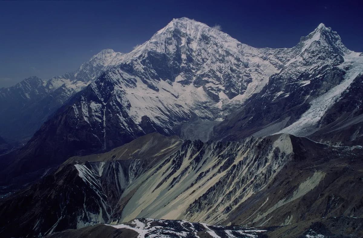 커버 사진: Ahtih (talk), CC BY-SA 3.0
langtangnational-parkwildlife
A guide to Langtang National Park itself: Nepal's first Himalayan national park, its size and habitats, wildlife, Tamang communities, the 2015 and 2026 disasters and how to visit responsibly.
6분 분량
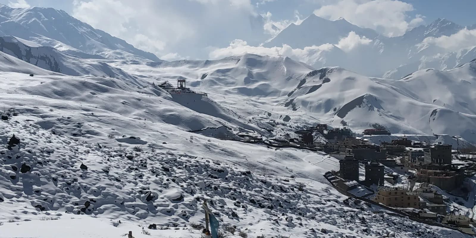 커버 사진: Iamrabins, CC BY-SA 4.0
annapurnaconservation-areantnc
A guide to the Annapurna Conservation Area as a protected landscape: size, habitats, wildlife, who manages it, how entry fees are used, where checkpoints stand and how to trek it responsibly.
6분 분량
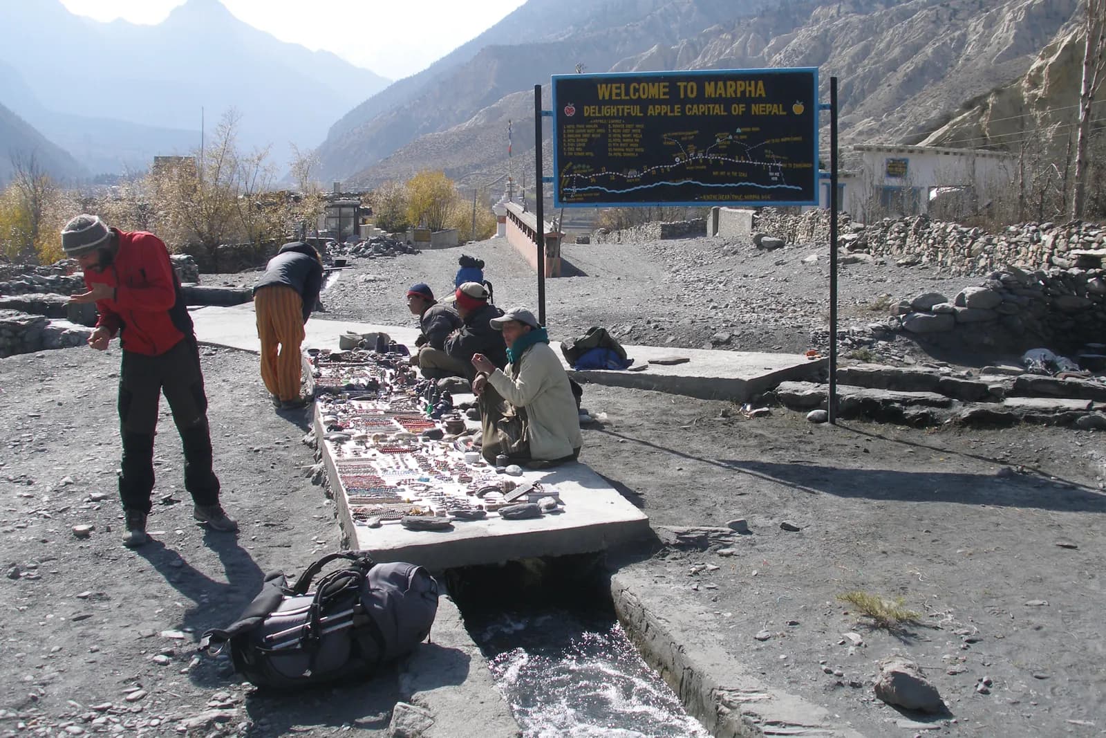 커버 사진: Vyacheslav Argenberg, CC BY 4.0
kali-gandakilower-mustangmarpha
A guide to the Kali Gandaki valley south of the Upper Mustang border: Kagbeni, Muktinath, Jomsom, Marpha, Tukuche and the gorge to Tatopani, with the winds, flights, permits and what to see.
7분 분량
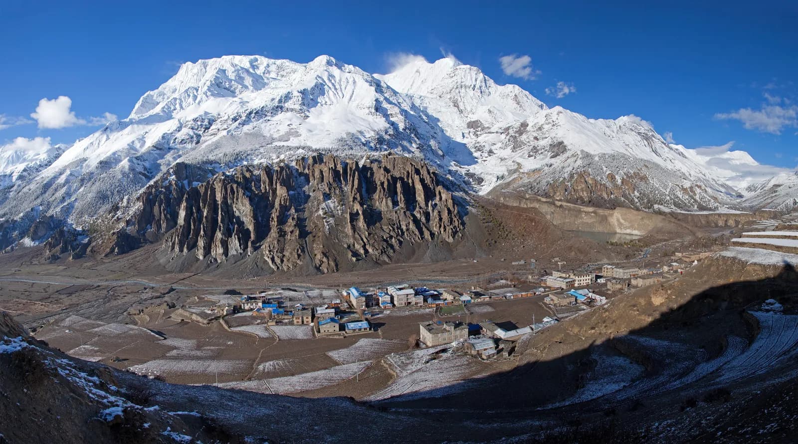 커버 사진: Solundir, CC BY-SA 3.0
manangannapurna-circuitacclimatisation
What Manang is, how the valley is laid out from Chame to Thorong Phedi, the famous rest day, the Himalayan Rescue Association post, the Manangi traders, and how Nar Phu and Tilicho connect.
7분 분량
 커버 사진: Tom Ek, CC BY-SA 2.0
sagarmathanational-parkeverest
A guide to Sagarmatha National Park itself: its size, elevation range, buffer zone, wildlife, Sherpa communities, the Gokyo wetland, park rules and what trekkers should do to protect it.
6분 분량
 커버 사진: Bijay Chaurasia, CC BY-SA 4.0
poon-hillghorepanighandruk
A guide to the Ghorepani and Poon Hill area itself: the villages from Birethanti to Ghandruk, what the stone steps are like, how the sunrise works, lodge advice and how to extend toward Khopra.
6분 분량
 커버 사진: Toppi68, CC BY 3.0
helambuyolmoregion-guide
What the Helambu region is, who the Yolmo people are, which villages the loop visits, the two national park permits, how to link it to Gosaikunda and when to go.
6분 분량
 커버 사진: Teddybear255, CC BY-SA 4.0
langtangregion-guidekathmandu-road-trek
A planning guide to Langtang, the mountain region closest to Kathmandu by road: the three treks compared, the Syabrubesi road, permits, the guide rule at its strictest and the 2015 earthquake.
8분 분량
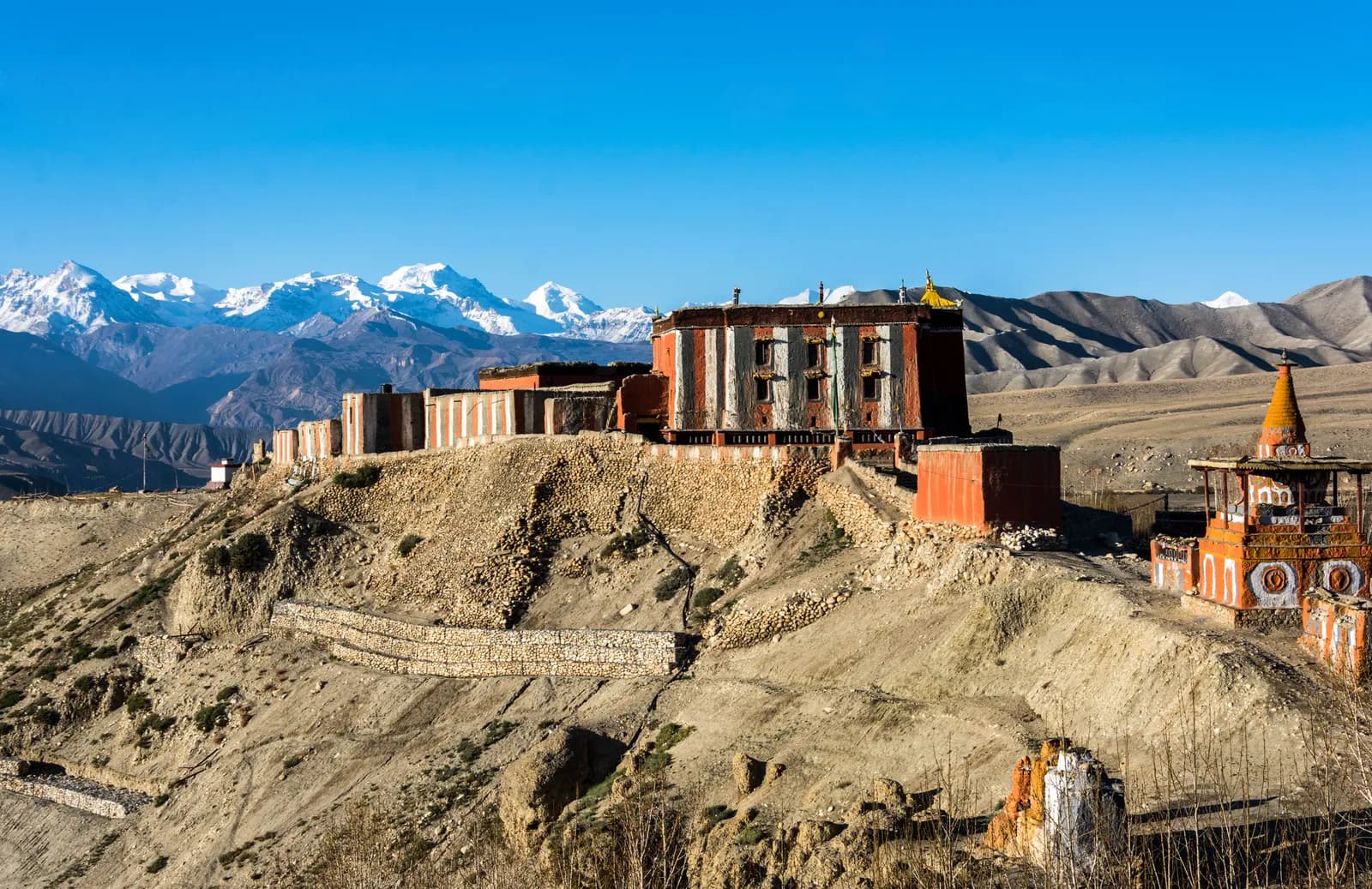 커버 사진: Pratapgrg, CC BY-SA 4.0
upper-mustanglo-manthangregion-guide
What Upper Mustang is, why it works in the monsoon, how the restricted-area permit and guide rule apply, how the Kagbeni to Lo Manthang road changes the trek and what to expect at altitude and in the wind.
7분 분량
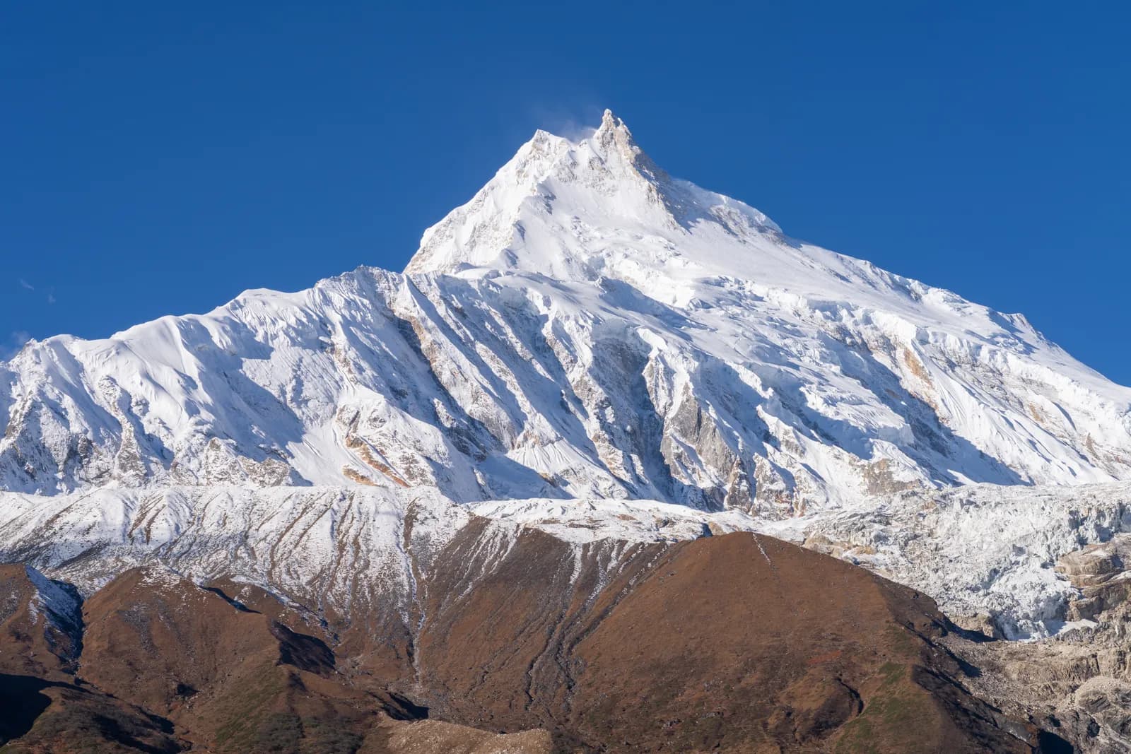 커버 사진: Sunuwargr, CC BY-SA 4.0
manasluregion-guiderestricted-area
The Manaslu region has two treks: the 14-day Circuit over Larkya La at 5,106 m and the 13-day Tsum Valley. Permit, guide rule, road and best months explained.
8분 분량
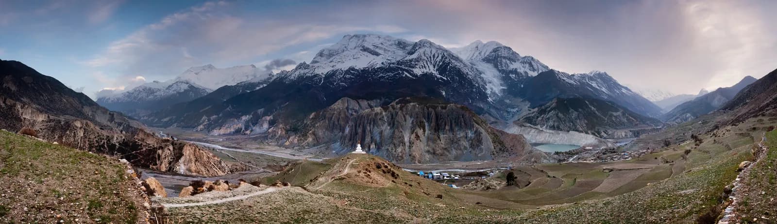 커버 사진: Dmitry A. Mottl, CC BY-SA 3.0
annapurnaregion-guideroute-choice
A practical guide to the Annapurna region: Poon Hill, Mardi Himal, Annapurna Base Camp, Khopra Ridge and the Circuit compared by days and altitude, with access, permits and seasons.
7분 분량
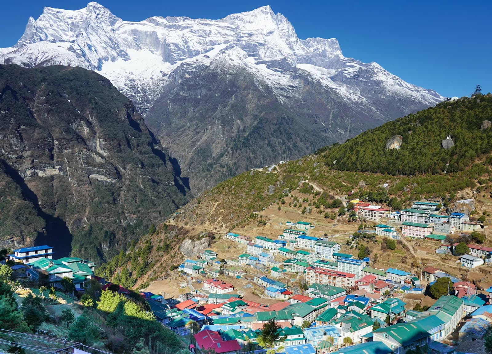 커버 사진: Nirojsedhai, CC BY-SA 4.0
everestkhumburegion-guide
How the Everest (Khumbu) region works: the three classic treks compared, the Lukla flight and its Ramechhap detour, the two permits, acclimatisation and how many days to plan.
9분 분량
 커버 사진: Sudan Shrestha, CC BY-SA 3.0
ruby-valleyganesh-himalgatlang
Is the 7-day Ruby Valley trek worth it? Gatlang, Somdang, Pangsang Pass and Tipling explained, with the Langtang park permit, the roads at each end and who the trek suits.
6분 분량
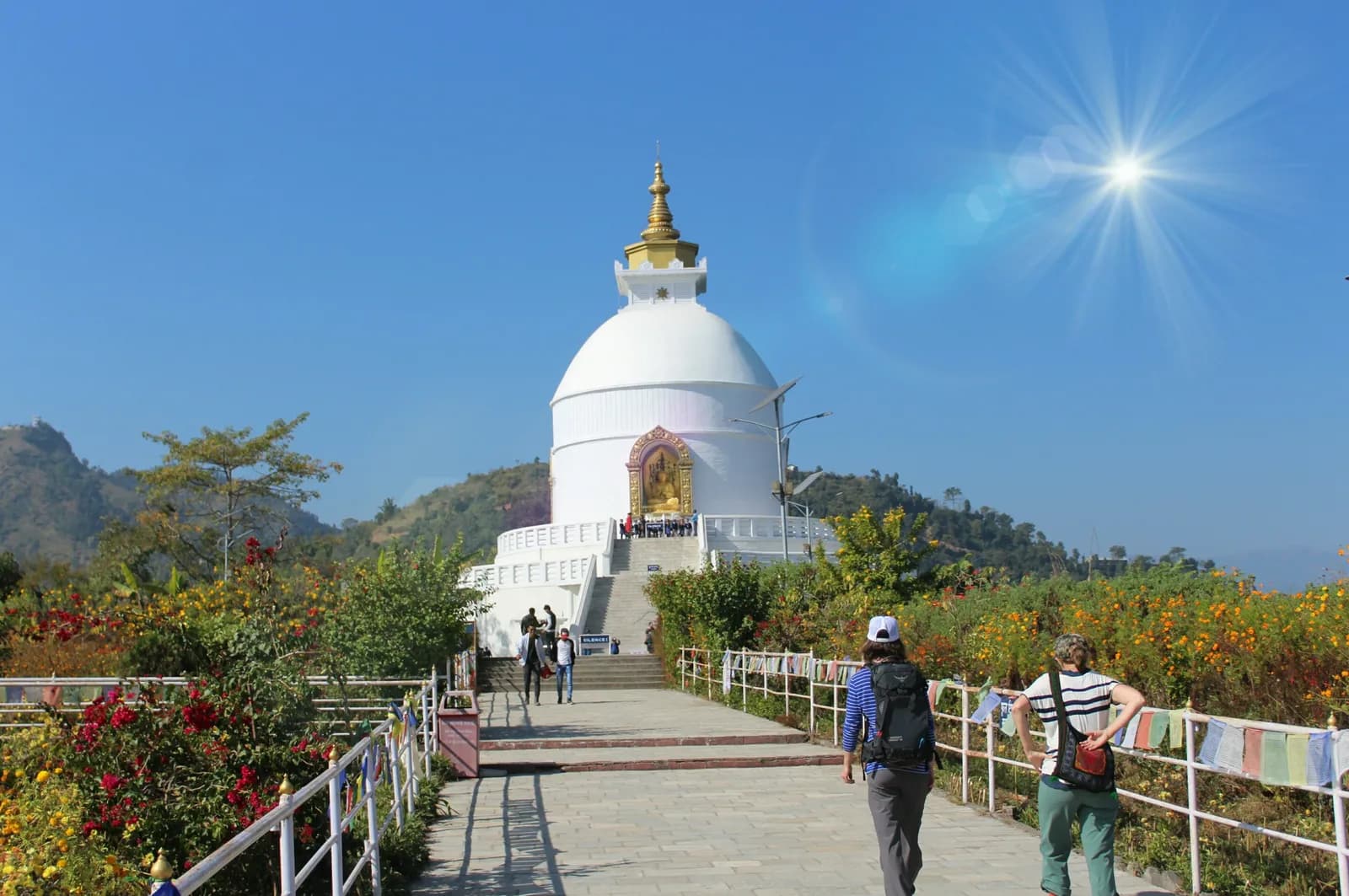 커버 사진: Nabin845, CC BY-SA 4.0
pokharaday-hikessarangkot
Five walks from Pokhara compared: Sarangkot sunrise, the World Peace Pagoda, Australian Camp and Dhampus, Ghandruk and Panchase, with distances, fees, permit notes and the best season for each.
6분 분량
 커버 사진: MateoTimateo, CC BY-SA 4.0
pikey-peaksolujunbesi
Pikey Peak (4,065 m) and the Solu hills explained: the sunrise over Everest, the six-day route, the road or flight in, permits, seasons and who it suits.
6분 분량
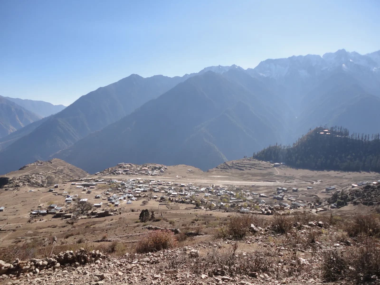 커버 사진: Ganesh Paudel, CC BY-SA 3.0
limi-valleyhumlasimikot
What trekking in Humla and the Limi Valley involves: the restricted-area permit, flights to Simikot, the three Tibetan villages, the high passes and who should attempt the 18-day loop.
6분 분량
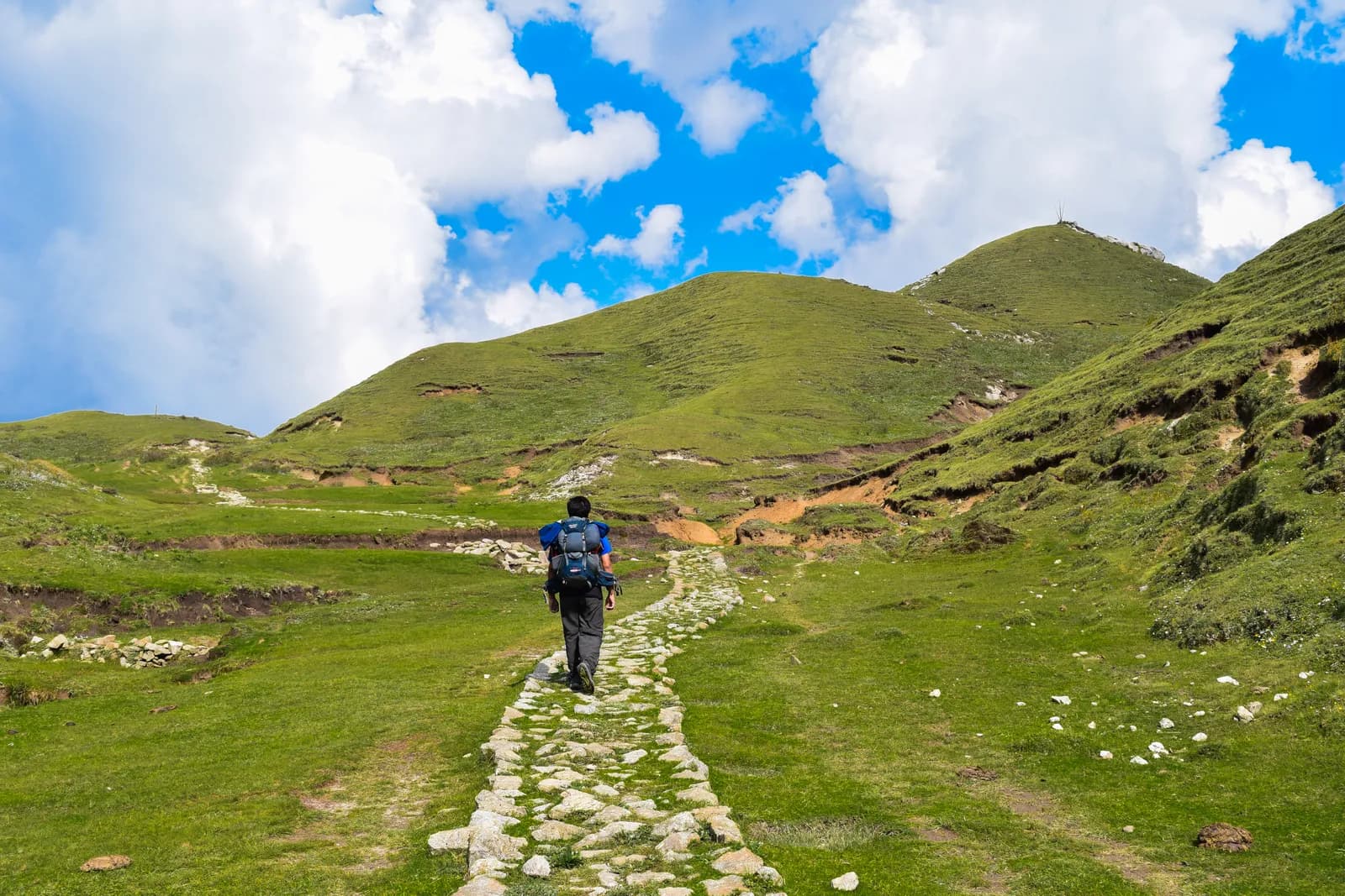 커버 사진: Anil Bhatta, CC BY-SA 4.0
khaptadfar-westdoti
The Khaptad plateau explained: a 10-day trek from Silgadhi to meadows at about 3,000 m, the ashram of Khaptad Baba and Khaptad Daha, with permits, flights, lodging and the best months.
6분 분량
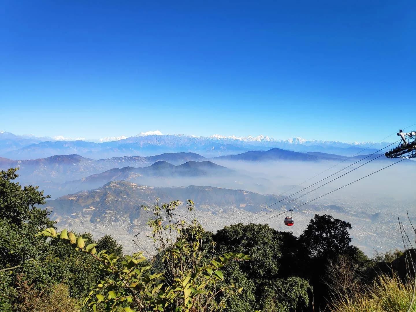 커버 사진: Tejan08, CC BY-SA 4.0
kathmanduday-hikesshivapuri
Eight hikes on the rim of the Kathmandu Valley compared: Shivapuri, Jamacho, Champadevi, Chandragiri, Phulchowki, Namo Buddha, Nagarkot to Changu Narayan and Chisapani, with times, fees and how to pick one.
6분 분량
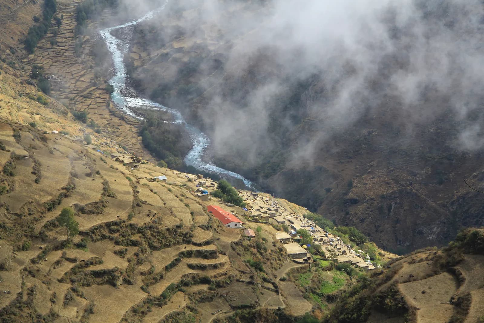 커버 사진: Wang Lama Humla, CC BY-SA 4.0
far-westkhaptadapi-base-camp
Which far-west Nepal trek to choose: Khaptad's meadows, Api Base Camp and the Limi Valley compared on permits, flights, roads, difficulty and season, with the logistics that decide the trip.
6분 분량
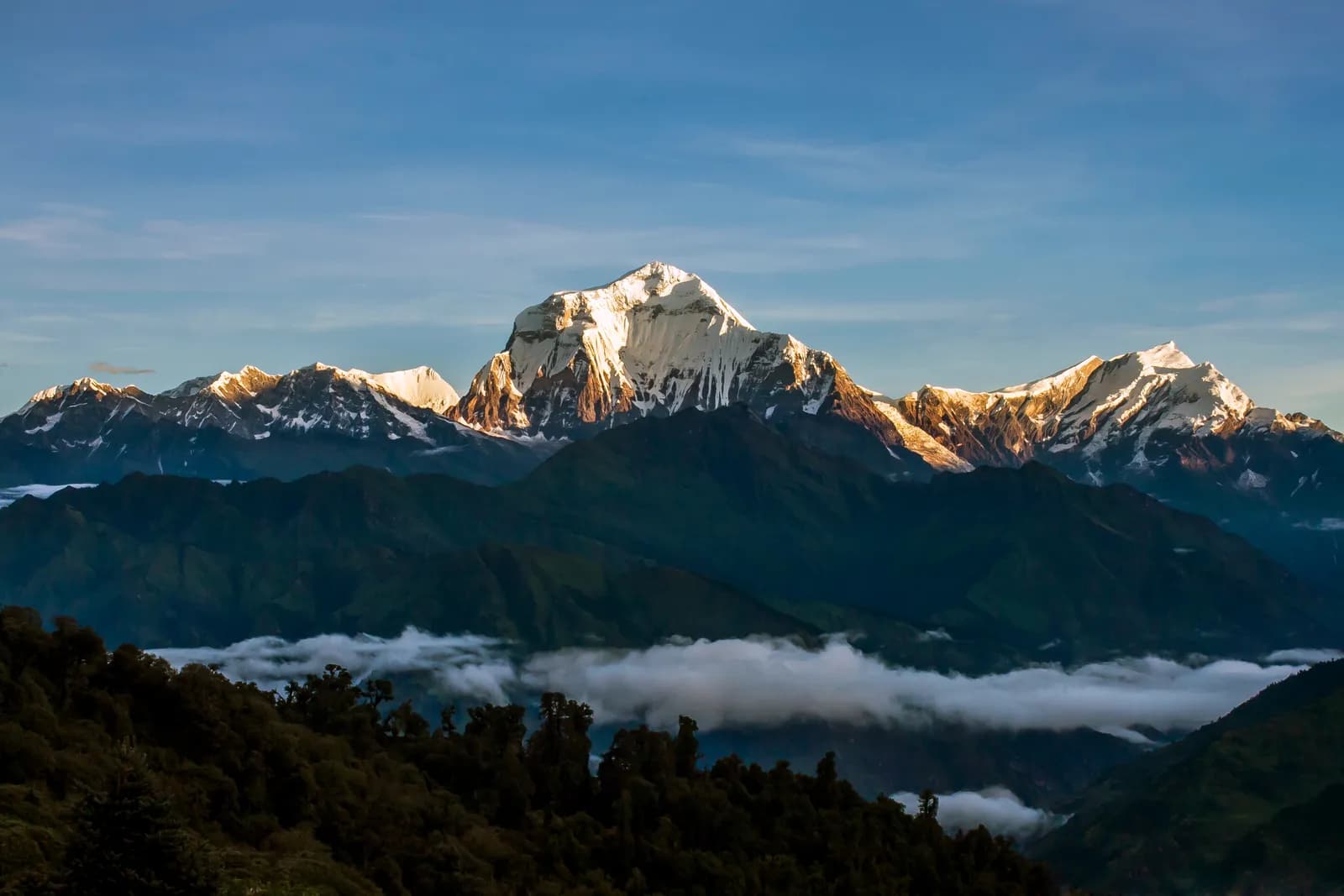 커버 사진: Madhabdhk, CC BY-SA 4.0
dhaulagirifrench-passcamping-trek
What trekking in the Dhaulagiri region involves: the 17-day camping circuit over French Pass, who it suits, the permits it needs, the road to Beni and the two seasons that work.
6분 분량
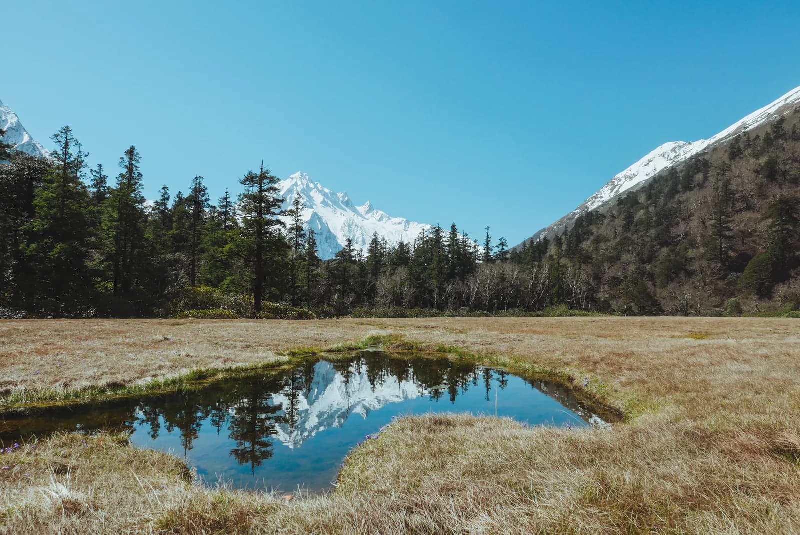 커버 사진: Bikku24, CC BY-SA 4.0
api-base-campapi-nampadarchula
The 13-day Api Base Camp trek in Darchula explained: the Api Nampa Conservation Area, the permit confusion, the long drive from Dhangadhi and who should go.
6분 분량
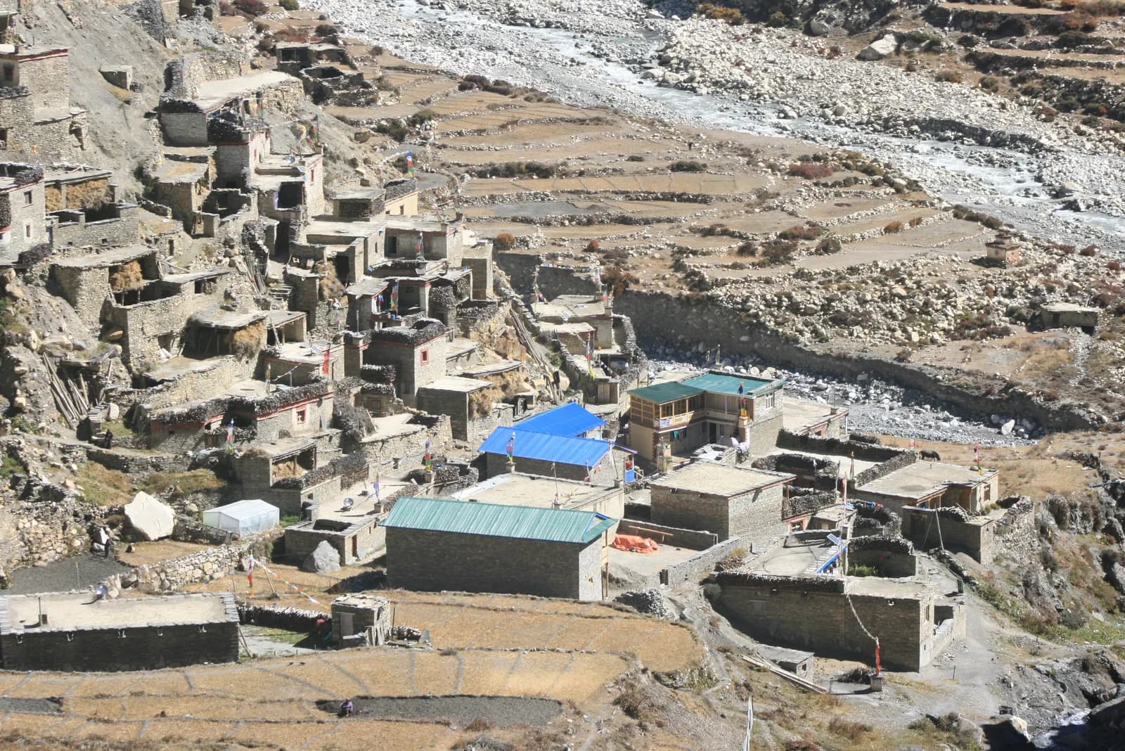 커버 사진: Sharadgurung7711, CC BY-SA 4.0
nar-phuannapurnarestricted-area
The Nar Phu valley trek explained: the gorge from Koto, Phu and Nar villages, the Kang La at about 5,306 m, restricted-area rules, the Marsyangdi road, seasons and who it suits.
6분 분량
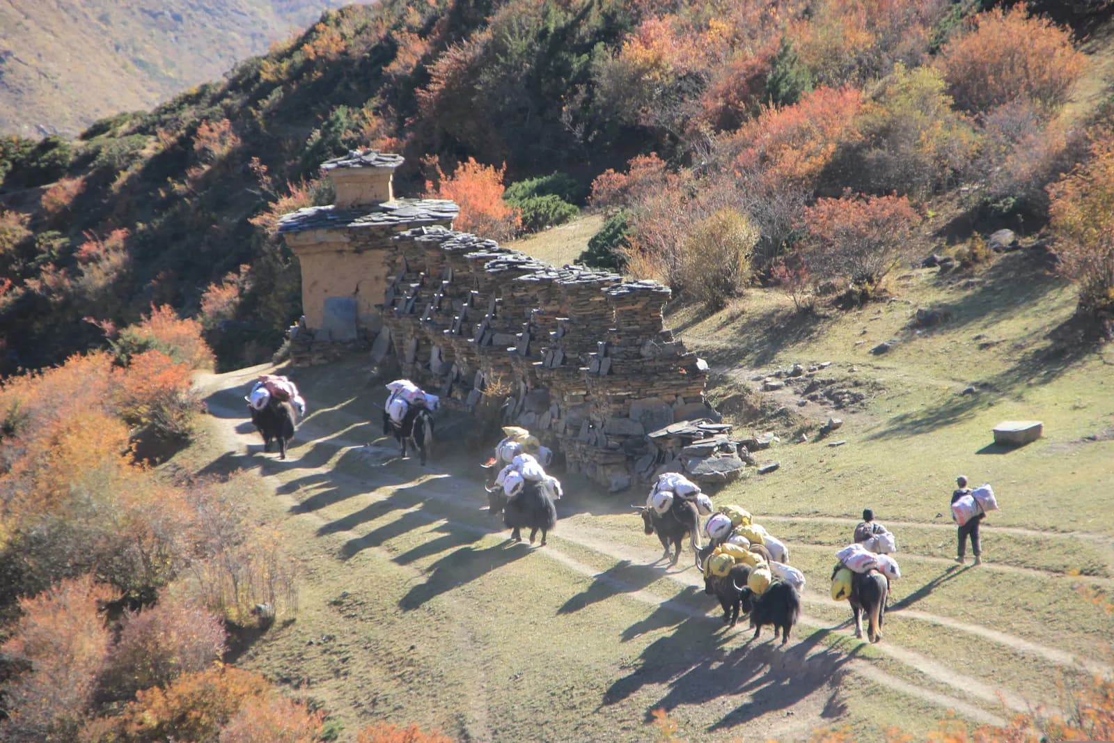 커버 사진: Sonam Lama, CC BY-SA 4.0
tsum-valleymanaslurestricted-area
The Tsum Valley is a hidden Buddhist valley reached from Philim: 13 days, Mu Gompa at about 3,700 m, restricted-area permit and licensed guide required.
6분 분량
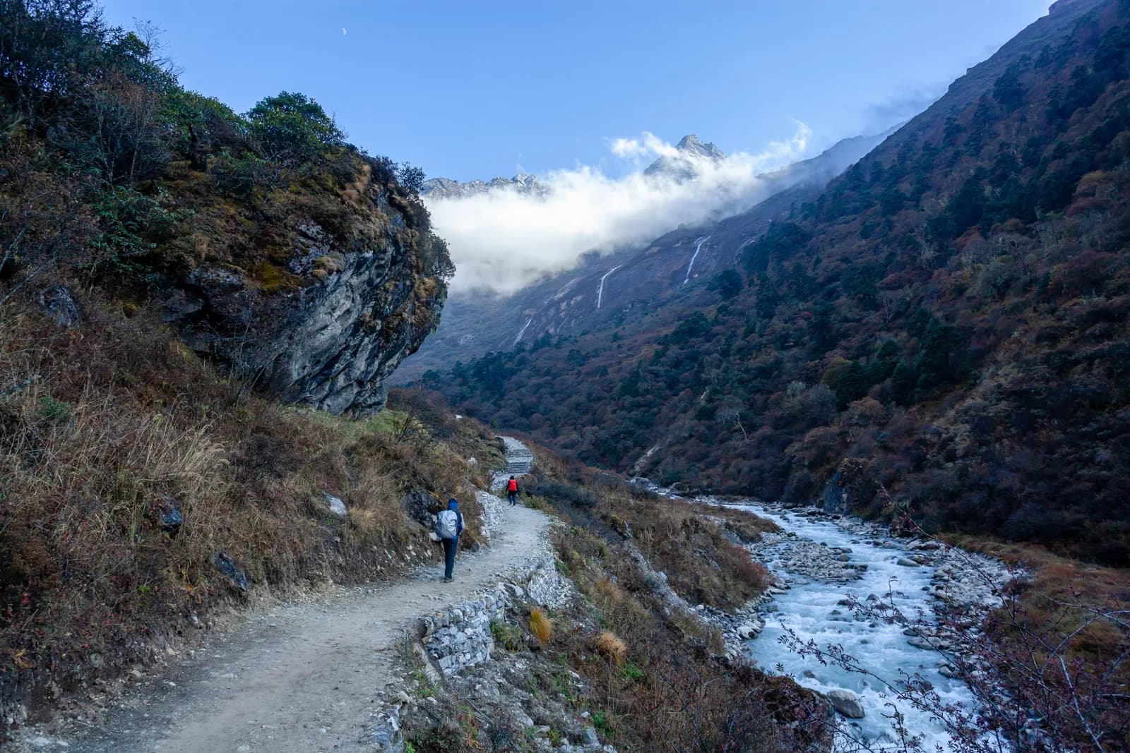 커버 사진: Nammy Hang Kirat, CC BY-SA 4.0
rolwalingtsho-rolpagaurishankar
What trekking in Rolwaling involves: the Chetchet road, the Sherpa villages, Tsho Rolpa glacial lake, Gaurishankar Conservation Area rules, seasons and who the trek suits.
6분 분량
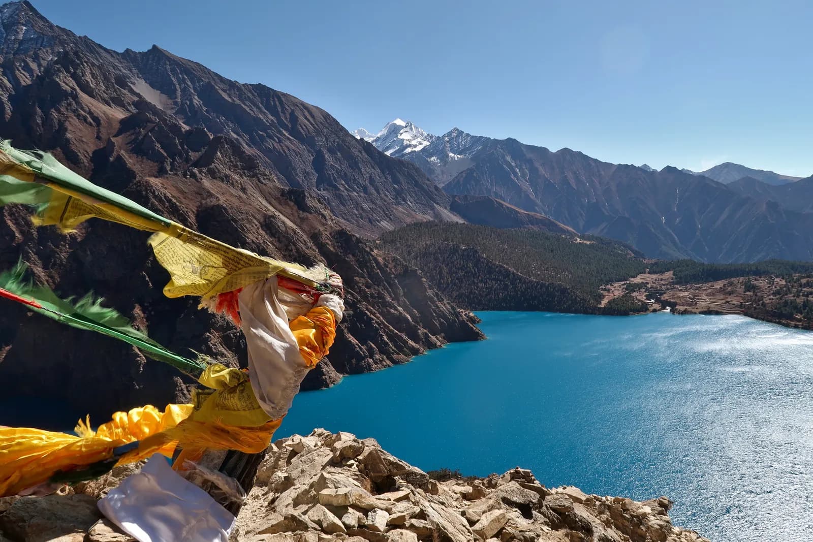 커버 사진: Rucksackschule-dresden, CC BY-SA 4.0
dolpophoksundoupper-dolpo
Dolpo explained: the free-access Phoksundo Lake trek, the restricted Upper Dolpo circuit, the Juphal flights, the rain-shadow seasons, culture and who each trek suits.
6분 분량
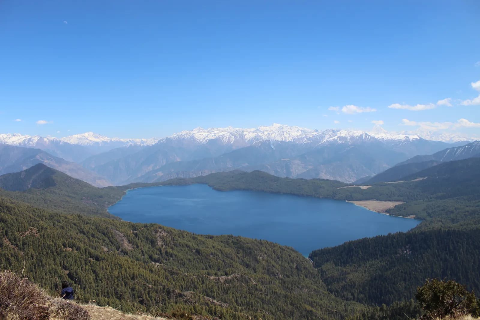 커버 사진: Prajina Khatiwada, CC BY-SA 4.0
rarajumlanational-park
A practical guide to the Rara region: Nepal's largest lake, its smallest national park, the Jumla walk, the Talcha flight out, seasons, lodges and the rules.
6분 분량
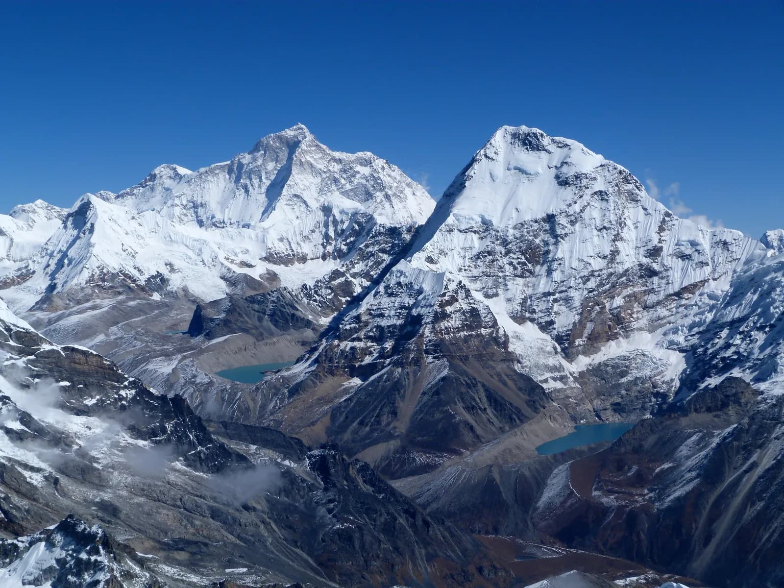 커버 사진: Craig Taylor, CC BY-SA 2.0
makalumakalu-barunsankhuwasabha
A practical guide to the Makalu Barun region: the national park, the Barun valley, the Tumlingtar and Seduwa access, the Shipton La, seasons, lodges and who the trek suits.
6분 분량
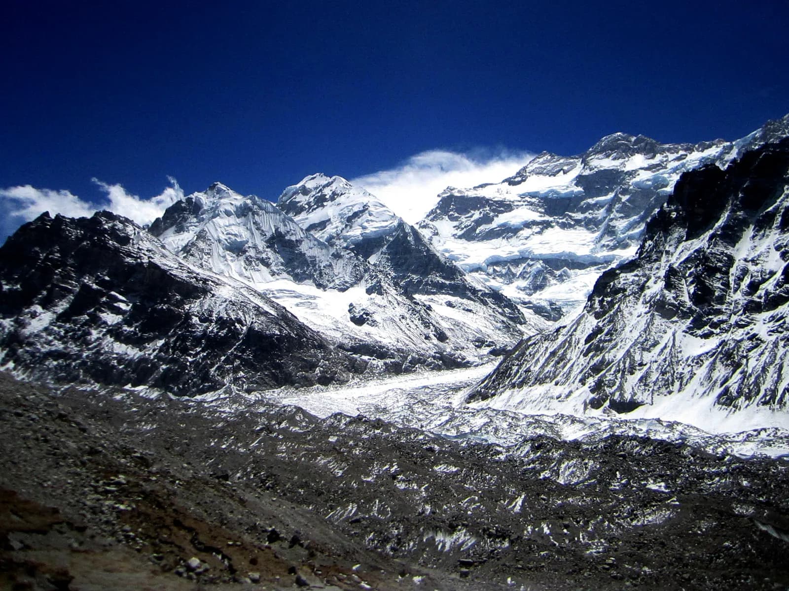 커버 사진: Sherparinji, CC BY-SA 3.0
kanchenjungataplejungrestricted-area
What trekking in the Kanchenjunga region involves: who it suits, north versus south base camp, the three passes, the permit position, the road in and the months that work.
7분 분량
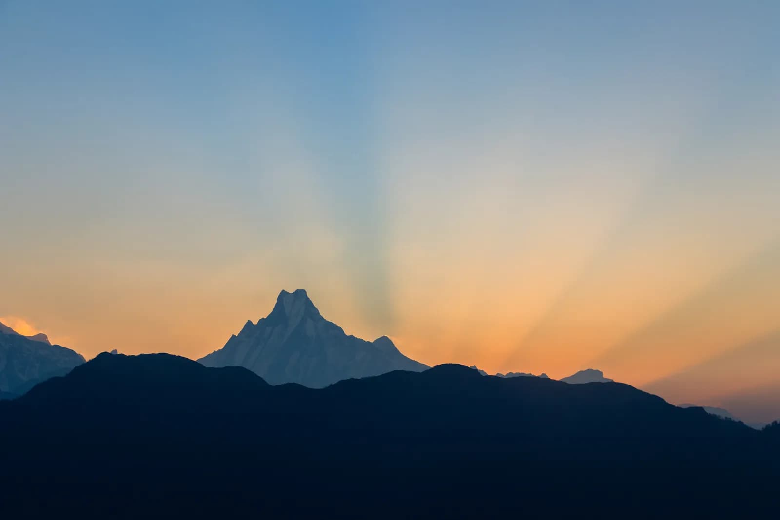 커버 사진: Bijay Chaurasia, CC BY-SA 4.0
regionsplanningoverview
Everest, Annapurna, Langtang, Manaslu and Upper Mustang compared: how to reach each, how hard they are, when to go, what permits they need and which one suits you.
6분 분량