Annapurna region trekking guide: choosing between five treks
A practical guide to the Annapurna region: Poon Hill, Mardi Himal, Annapurna Base Camp, Khopra Ridge and the Circuit compared by days and altitude, with access, permits and seasons.
The Annapurna region is Nepal's most varied trekking ground, and the way to choose a route is by days and altitude. Poon Hill takes 4 days and stays below 3,300 m. Mardi Himal takes 5 and reaches about 4,500 m. Annapurna Base Camp takes 7 and tops out at 4,130 m, Khopra Ridge takes 8 and reaches 3,600 m, and the Annapurna Circuit takes about 14 days and crosses Thorong La at 5,416 m. Most start near Pokhara, all use teahouses and the best months are October and November, then March to May.
This guide helps you pick between those five and plan around the practical parts: how to get to the start, which permit you need, how the guide rule plays out in the Annapurna Conservation Area, and what to expect in each season. The route pages carry the stage-by-stage data.
Annapurna Base Camp Trek의 모집 중인 여행
파트너를 찾는 트레커들이 올린 실제 여행입니다.
Why Annapurna is easy to plan and hard to choose
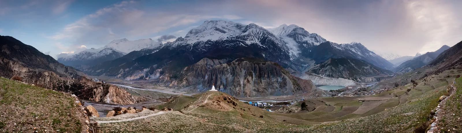
Annapurna rewards beginners and veterans, and the choice is the difficulty. The region covers about 7,629 km2 and rises from roughly 800 m in the south to Annapurna I at 8,091 m, so within it you can walk through rice terraces, rhododendron forest, alpine meadow and the dry, windswept country around Manang and Mustang. Almost everything is reached from one city, Pokhara, which has a lake, an airport, gear shops and every agency you could ask for.
The villages change as you move. In the south, Ghandruk, Chhomrong and Tadapani are Gurung and Magar communities. Along the Kali Gandaki, Marpha and Tukuche are Thakali, known for apple orchards and some of the best lodges in the country. Around Manang and Mustang the culture is Tibetan Buddhist. You can notice the shift in a day's walk, which is one reason people return.
The five treks side by side
| Trek | Days | Highest point | Best for |
|---|---|---|---|
| Poon Hill | 4 | 3,210 m | A long weekend, a famous sunrise, steep stone steps |
| Mardi Himal | 5 | about 4,500 m | A ridge walk with close views of Machapuchare |
| Annapurna Base Camp | 7 | 4,130 m | The classic amphitheatre of peaks |
| Khopra Ridge | 8 | 3,600 m | Quieter ridge trails and community-run lodges |
| Annapurna Circuit | 14 | 5,416 m | A full crossing with the biggest variety and real altitude |
A few rules of thumb come out of that table. If you have two to four days, take Poon Hill. If you have five days and enjoy ridge walking, take Mardi Himal. If you have a week and decent fitness, Annapurna Base Camp is the standard answer. If you want fewer people, Khopra is the best of the lot. And if you have two weeks and a good record above 3,500 m, the Circuit is worth the time. When two of these compete, our comparison of Poon Hill versus Mardi Himal and Annapurna Base Camp versus Mardi Himal set out the trade-offs.
Poon Hill is often called easy because it is short and low. The caveat is the stone staircases at Ulleri and Ghorepani, which are steep, long and slippery when wet. Do not underestimate them, particularly on the descent.
Getting to the start
Pokhara is 6 to 8 hours by road from Kathmandu or about 25 minutes by air. From there, taxis and jeeps reach Nayapul (for Poon Hill and Ghandruk), Phedi or Kande (for Mardi Himal and Dhampus) and Siwai or Jhinu for the Sanctuary. As of October 2026 the regional cost data lists a Kathmandu to Pokhara tourist bus at NPR 800 to 2,500 each way, and the Pokhara to Jomsom flight at about USD 120 to 200 each way. Jeep fares to the trailheads are not published in the sources we found, so ask your agency or hotel.
The Circuit starts at Besisahar, about 7 to 9 hours from Kathmandu. Jeep roads now reach Dharapani, Chame, Manang and beyond, and the southern end finishes at Jomsom or Muktinath, from where you can fly, take a jeep or walk on toward Tatopani and Ghorepani. Our guides to Kathmandu to Besisahar and to Pokhara to Jomsom by flight versus jeep cover the two ends.
The roads have changed the Circuit more than anything else. Many trekkers drive the first day or two, and others start at Chame or Pisang, which shortens the trip to 8 to 12 days. That is fine, but check which sections are on trail and which on road before you plan your days, and be aware that the acclimatisation logic still holds. Driving to Chame does not change the fact that you sleep at 2,700 m on night one and climb from there.
The permit and the guide rule
Most Annapurna treks need an Annapurna Conservation Area (ACAP) entry permit. As of October 2026 it costs NPR 3,000 for foreigners (NPR 1,000 for SAARC nationals), tax included, with children under 10 free. Paying online adds a 2.9 percent gateway charge, and a permit issued at a check post costs double, so buy it in advance in Pokhara or Kathmandu or through the NTNC e-permit site. A TIMS card may also be asked for; the Nepal Tourism Board lists it at NPR 2,000 for foreigners (SAARC nationals NPR 1,000), plus any agency service charge. Our ACAP permit explainer covers the details, and the Annapurna Conservation Area guide explains who runs the area.
On guides, the wording we use is precise. A licensed guide through a registered agency is required in restricted areas, and under the Nepal Tourism Board rule of April 2023 in national parks and conservation areas, where 2026 operator reports say checkpoints enforce it in Annapurna and Langtang but not in Khumbu (checked 19 October 2026). Restricted areas nearby, such as Nar Phu and Upper Mustang, need their own permits. See the guide rule by region for the sources.
In practice, treat a guide or guide-porter as the baseline for the Circuit's pass day and for any trek after snow. Our partner page for Annapurna Base Camp is the place to find someone to share the guide cost with.
Seasons
October is the most popular month, with steady weather and long views. November is colder but very clear, and lodges are quieter. March is cool and bright, April is the spring peak with rhododendrons flowering on the southern slopes at Ghorepani and Ghandruk, and May is warmer and hazier. The monsoon (June to August) leaves the southern routes wet, cloudy and leech-prone, while the northern Circuit and Mustang stay drier in the rain shadow. December to February brings snow on the high routes: Poon Hill and Ghandruk stay walkable, but the Sanctuary has an avalanche risk and Thorong La can close. Best time for the Annapurna Circuit goes month by month.
Altitude by route
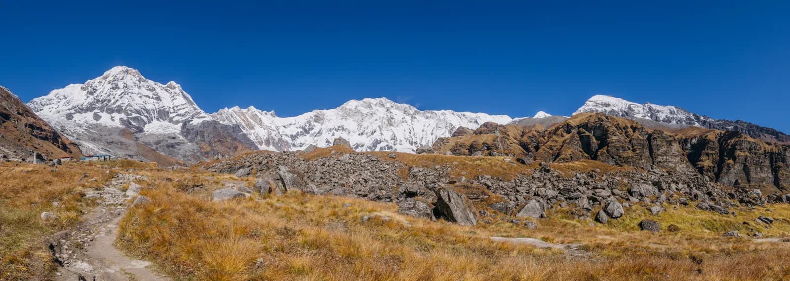
Poon Hill, Ghandruk and the lower Sanctuary stay below 3,300 m. Annapurna Base Camp (4,130 m), the upper Mardi Himal ridge (about 4,500 m) and Thorong La (5,416 m) need care. The general rules from the CDC Yellow Book and the Wilderness Medical Society apply: ascend gradually, add a rest day every few days above 3,000 m, climb high and sleep low, and never go up with symptoms. The Himalayan Rescue Association post in Manang gives altitude talks in season. For Thorong La, sleep at Thorong Phedi or High Camp and start before dawn, because the pass is a long, cold day and the weather turns in the afternoon.
What a day looks like
Teahouses stand every hour or two on Poon Hill and the Sanctuary routes, and fewer on Khopra and the upper parts of Mardi Himal. You get a bed, a dining room with a stove in the evening and a menu of dal bhat, noodles and, in Marpha, apple pie. Rooms are cheap if you eat at the lodge. Rooms and meals get more expensive with altitude: as of October 2026 the cost data gives a dal bhat of NPR 700 to 1,200 between 2,500 and 3,800 m, and NPR 1,300 to 1,600 above 3,800 m. Guide days are NPR 2,700 to 4,000 and porter days NPR 2,100 to 3,400, as market ranges rather than official rates. Hot springs at Jhinu Danda and Tatopani are welcome rest stops. Carry rupees, as ATMs in Manang and Jomsom are unreliable.
Safety points specific to this region
- Avalanches are a real risk in the Sanctuary between Deurali and Machhapuchhre Base Camp after snowfall, especially in spring and winter. Ask lodge owners before you move.
- A blizzard in October 2014 killed dozens of people near Thorong La. Start at dawn, watch the weather and turn back if conditions worsen.
- Landslides can close roads in the monsoon, so keep a spare day at the end of any trek.
- Use boiled or treated water, and keep your insurance details with you. Your policy should cover trekking to 5,500 m and helicopter evacuation if you plan the Circuit.
Putting it together
If you are a first-timer, start with Poon Hill or Annapurna Base Camp and read the first-time trekking guide. If you have trekked before and want company, post a plan on a partner page and check how to vet a partner. The Annapurna region page holds the underlying data, Nepal's trekking regions compares the others, and the region guides category lists every guide in this series.
이 트레킹 계획하기
- Annapurna 지역 가이드
- Find someone to trek Annapurna Base Camp Trek with
- Trekking partner for Poon Hill Trek (Ghorepani)
- Find someone to trek Mardi Himal Trek with
- Find someone to trek Khopra Ridge Trek with
- Trekking partner for Annapurna Circuit Trek
- Annapurna Base Camp Trek 일정
- Poon Hill Trek (Ghorepani) 일정
- Mardi Himal Trek 일정
- Khopra Ridge Trek 일정
- Annapurna Circuit Trek 일정