Annapurna Conservation Area guide: landscape, people and management
A guide to the Annapurna Conservation Area as a protected landscape: size, habitats, wildlife, who manages it, how entry fees are used, where checkpoints stand and how to trek it responsibly.
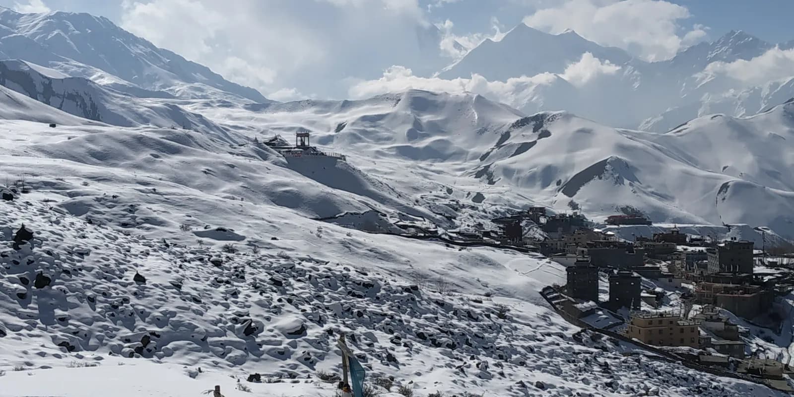
The Annapurna Conservation Area is the largest protected area in Nepal, covering about 7,629 km2 across the districts of Manang, Mustang, Kaski, Myagdi and Lamjung. It runs from subtropical valleys at about 800 m to the summit of Annapurna I at 8,091 m, and it is managed by the Annapurna Conservation Area Project (ACAP) of the National Trust for Nature Conservation, which has run since the mid-1980s. Foreign visitors pay NPR 3,000 as of October 2026, and every Annapurna trek, from Poon Hill to the Circuit, takes place inside it.
This guide treats the area as a landscape and an institution rather than a trek planner. For the routes use the Annapurna region trekking guide, and for buying the permit see the ACAP permit explainer.
Open trips on Annapurna Circuit Trek
Real trips posted by trekkers looking for partners.
A protected area that people live in
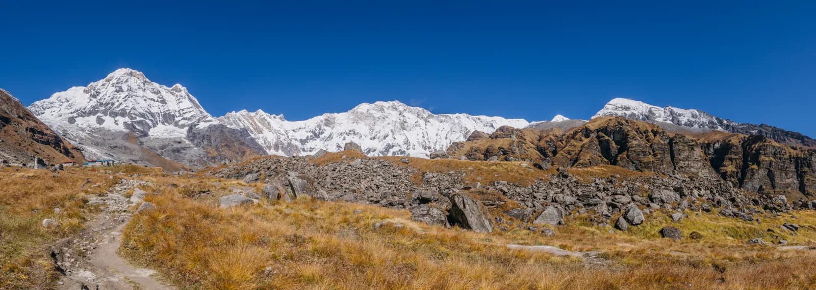
The word "conservation area" matters. Unlike a national park, where residents are generally moved out or restricted, a conservation area in Nepal is a place where people live and the management is shared. The Annapurna model has been held up as an example of community-based conservation since the mid-1980s: entry fees stay in the area and fund trail maintenance, schools, clinics and lodge training, and lodges follow rules on firewood, waste and kerosene.
The people differ along the way. In the south, Ghandruk, Chhomrong and Tadapani are Gurung and Magar villages, and many Gurung men served in the British and Indian armies; the Gurung Museum in Ghandruk explains the history. Along the Kali Gandaki, Marpha and Tukuche are Thakali communities known for apple orchards, distilleries and some of the best lodges in the country. Around Manang and Mustang the culture is Tibetan Buddhist, and Muktinath, below Thorong La, is sacred to Hindus and Buddhists alike and draws pilgrims who bathe at its 108 water spouts. Our Manang valley guide and the Lower Mustang and Kali Gandaki guide describe those two halves in more detail.
Habitats from the foothills to the passes
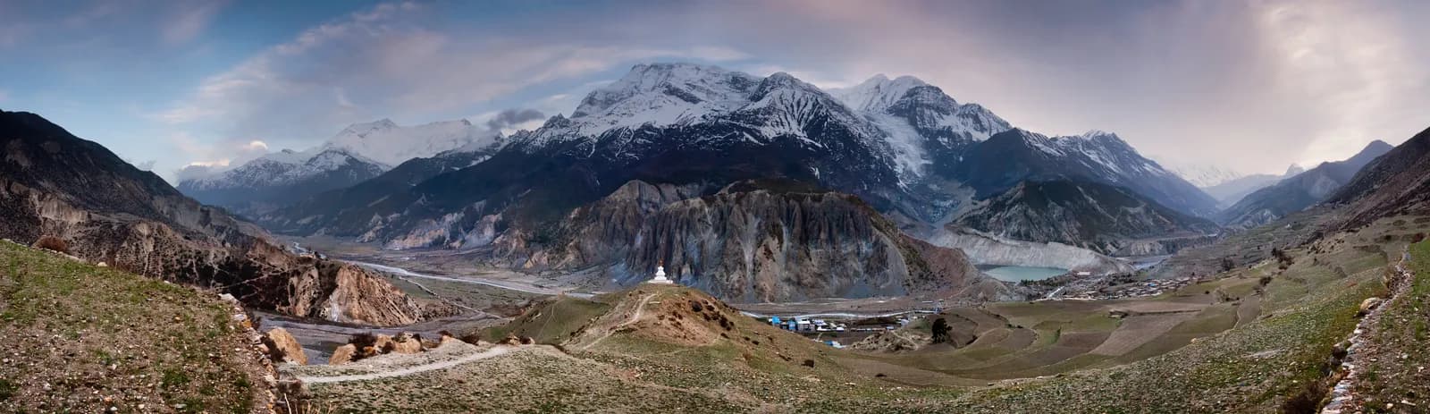
A single trek here crosses most of the Himalayan habitat range. The lower valleys are rice terraces and subtropical forest. Above them oak and rhododendron forest covers the southern slopes, which is why Ghorepani and Ghandruk are famous for spring flowers. Higher up come alpine meadow and the dry, windswept country of the upper Marsyangdi and Mustang, where Manang District gets the lowest rainfall of any district in Nepal because it lies north of the Himalaya.
That rain-shadow effect is the practical fact that shapes the monsoon. The southern routes, such as Poon Hill and the Annapurna Sanctuary, are wet, cloudy and leech-prone from June to August, while the northern Circuit beyond Chame and the Mustang side stay far drier. October and November are the most popular months, with March to May the second window. See best time for the Annapurna Circuit and monsoon trekking in Nepal: rain-shadow routes.
Wildlife
The area records more than 1,200 plant species and a long bird list, and animals such as Himalayan tahr, musk deer, langur monkeys and, rarely, snow leopard. In the forests below Ghorepani look for rhododendron and oak and, in spring, calling cuckoos and colourful pheasants. In the dry upper Marsyangdi and Mustang, blue sheep graze the slopes and lammergeiers glide above the passes. Do not feed or approach animals, and keep your distance from yaks and mules on narrow trails.
How the checkpoints work
The permit is checked at gates such as Birethanti, which covers Poon Hill, Ghandruk and the Sanctuary, Besisahar and Chame on the Circuit, and on the Jomsom side. As of October 2026 the entry fee is NPR 3,000 for foreigners and NPR 1,000 for SAARC nationals, children under 10 free. Online payment through the NTNC e-permit site adds a 2.9 percent gateway charge, and a permit issued at a check post costs double, so buy in advance. Carry the original and a copy. A TIMS card may also be requested; the Nepal Tourism Board lists it at NPR 2,000 for foreigners (SAARC nationals NPR 1,000), plus any agency service charge, and the TIMS card explainer covers the question.
Restricted areas inside or beside the conservation area, such as Nar Phu and Upper Mustang, need their own permits through an agency on top of the ACAP permit. See the Nar Phu itinerary and the Upper Mustang region guide.
The guide rule inside the area
A licensed guide through a registered agency is required in restricted areas, and under the Nepal Tourism Board rule of April 2023 in national parks and conservation areas, where 2026 operator reports say checkpoints enforce it in Annapurna and Langtang but not in Khumbu (checked 19 October 2026). In the Annapurna Conservation Area that means checkpoints at ACAP gates reportedly check for a guide, with TIMS checks varying. These are operator reports, not official notices, so confirm with a registered agency. See the guide rule by region and the guide rule for foreigners explained.
Responsible trekking
The popular trails show signs of heavy use. A few habits help:
- Carry out your plastic and rubbish, and use refill stations where available.
- Do not ask lodges for wood fires; follow the firewood and kerosene rules.
- Stay on the trail, particularly on the stone staircases, to limit erosion.
- Buy from local lodges and shops, and eat dal bhat at the lodge you sleep in.
- Spread your visit to quieter months or routes such as Khopra and Mardi Himal, which share the benefit more widely.
- Ask before photographing people, and dress modestly at monasteries and temples.
Our Khopra Ridge itinerary and Mardi Himal itinerary are the quieter options. For etiquette, read Nepal trail etiquette and culture.
Health and safety in the area
The same altitude rules apply as elsewhere in the Himalaya: ascend gradually, add a rest day every few days above 3,000 m, climb high and sleep low, and never ascend with symptoms. The Himalayan Rescue Association post in Manang gives altitude talks in season. Avalanches are a real risk in the Sanctuary between Deurali and Machhapuchhre Base Camp after snowfall, and a blizzard in October 2014 killed dozens of people near Thorong La, so watch the weather and turn back if conditions worsen. Carry insurance that covers helicopter evacuation, and use boiled or treated water.
Costs in the area
As of October 2026 the Annapurna cost data gives a dal bhat of NPR 500 to 1,000 below 2,500 m, NPR 700 to 1,200 between 2,500 and 3,800 m and NPR 1,300 to 1,600 above 3,800 m, with a guide day of NPR 2,700 to 4,000 and a porter day of NPR 2,100 to 3,400, as operator market ranges, not official rates. The Pokhara to Jomsom flight is about USD 120 to 200 each way, and a Kathmandu to Pokhara tourist bus is NPR 800 to 2,500 each way. Sharing the guide and porter is the main saving; use the Annapurna Base Camp partner page to find company, and read splitting guide and porter costs fairly between partners.
Where to go next
The Annapurna region page holds the route data, Nepal's trekking regions shows the other areas and the region guides category lists the rest of the series. The Annapurna Circuit and Annapurna Base Camp route pages show how the area is walked.
Questions to ask before you go
Which permit applies to my route, and where do I buy it? Is a guide expected at the checkpoints on my dates? Are the lodges I plan to use open in this season? Is the road I will use affected by landslides? Asking these four questions of an agency or a lodge owner a few days before you leave will save more time than any amount of reading. The Annapurna Conservation Area is large, and conditions in the south can differ sharply from those in Manang or Mustang on the same day.