Manang valley guide: the rain-shadow heart of the Annapurna Circuit
What Manang is, how the valley is laid out from Chame to Thorong Phedi, the famous rest day, the Himalayan Rescue Association post, the Manangi traders, and how Nar Phu and Tilicho connect.
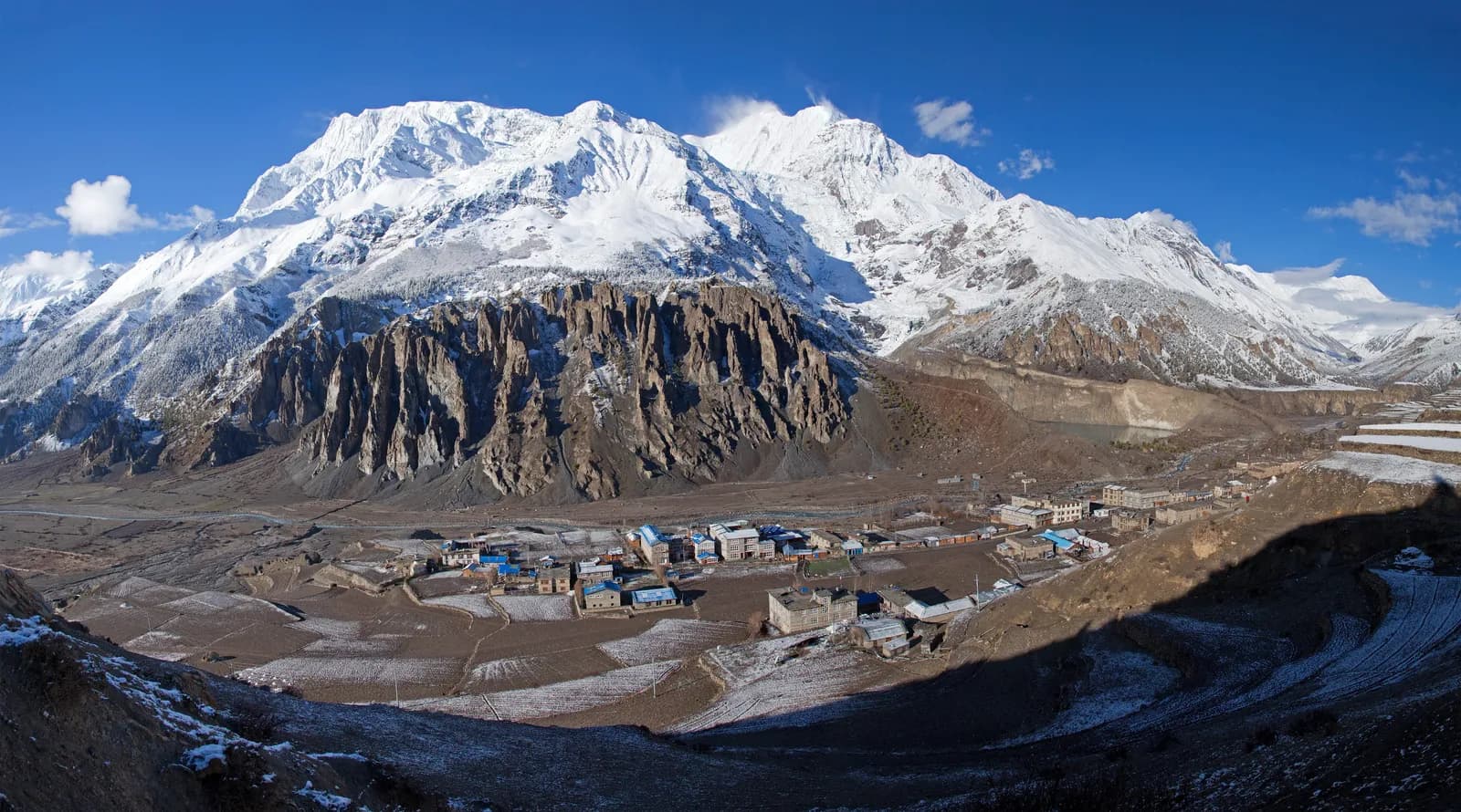
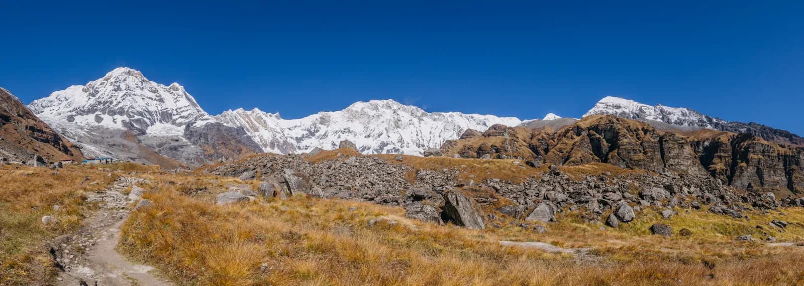
Manang is the village at about 3,540 m on the north side of the Annapurna range where the Annapurna Circuit pauses to acclimatise. On our 14-day Circuit plan you drive to Dharapani on day 1, walk through Chame, Upper Pisang and Ngawal, reach Manang on day 5 and spend day 6 on a rest day before climbing toward Thorong La at 5,416 m. The valley is dry, because Manang District gets the lowest rainfall of any district in Nepal, and it is also the gateway to the restricted Nar Phu valley and to Tilicho Lake.
This guide describes the valley as a place and as a planning problem: where the stops are, what the rest day is for and how the roads, the permits and the side trips fit together. For the day plan see the Annapurna Circuit itinerary.
Annapurna Circuit Trek의 모집 중인 여행
파트너를 찾는 트레커들이 올린 실제 여행입니다.
The valley in order
The Marsyangdi valley runs up from Besisahar through subtropical country and then turns alpine. On the Circuit plan the stops are these.
| Stop | Altitude | What it is for |
|---|---|---|
| Dharapani | 1,860 m | End of the first day's drive |
| Chame | 2,670 m | The district headquarters, a first real town |
| Upper Pisang | 3,300 m | Start of the upper route, with views of Annapurna II |
| Ngawal | 3,600 m | High-route village, joined by Nar Phu trekkers |
| Manang | 3,540 m | Rest day, bakeries, aid post |
| Yak Kharka | 4,050 m | First climb after Manang |
| Thorong Phedi | 4,540 m | Base of the pass; some groups go on to High Camp at 4,880 m |
Two points. First, the upper route from Upper Pisang through Ngawal is the one our plan uses, because it stays on trail and adds views of Annapurna II. Second, Manang sits slightly lower than Ngawal, so descending into it after a night at 3,600 m is a small acclimatisation gift.
What Manang is like
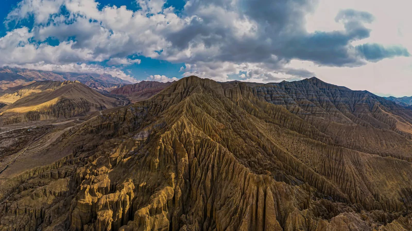
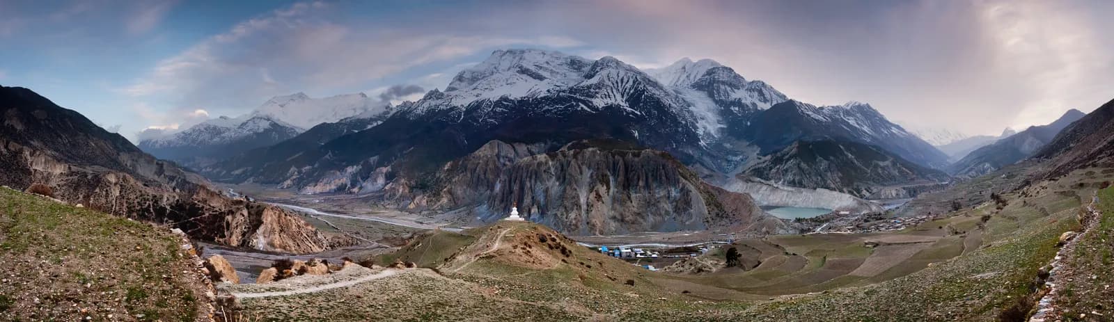
Manang is a Tibetan-influenced village of stone alleys, bakeries, shops and a small cinema, with a view of Gangapurna and Annapurna III from the lodges. The wider district, with Chame as its headquarters, covers 2,246 km2 and had a population of 5,658 at the 2021 census. Manang lies north of the Himalaya, which block the monsoon winds, so it gets the lowest rainfall of any district in Nepal. The northern parts of the valley are dry, brown and desolate, very different from the forested valleys further south.
The Manangi people are known as traders. According to Wikipedia they have long had special dispensation to trade in South East Asia, many spend months away from home, and since the area opened to outsiders in the late 1970s many have moved from agriculture to running lodges. The trail from Manang to Muktinath has been used for centuries to move herds of sheep and yak. That context explains why the lodges here are professional, and why the village feels more like a small town than a settlement.
The rest day, and why it matters
The Circuit plan puts a rest day at Manang because the climb after it is fast: Yak Kharka at 4,050 m, then Thorong Phedi at 4,540 m. The rest day is not for resting in bed. Choose a short hike high, then return to sleep at 3,540 m, which is the standard advice from the Wilderness Medical Society and CDC Yellow Book: climb high and sleep low, add rest days above 3,000 m, and never ascend with symptoms.
There are two usual hikes. The short one climbs to the viewpoint above Gangapurna Lake, a glacier-fed lake with a broad view of the glacier. The longer one climbs to Ice Lake (Kicho Tal) at about 4,600 m. Do not push hard, because the purpose is to prepare for Thorong La. Attend the altitude talk at the Himalayan Rescue Association post if you have not already; the aid post gives talks in the trekking seasons. Our guide to the Himalayan Rescue Association clinics at Manang and Pheriche explains what the post does, and rest days: where to acclimatise on EBC and the Annapurna Circuit compares the options.
Roads and how to arrive
Jeep roads now follow the Marsyangdi valley to Manang and the Kali Gandaki valley beyond Muktinath, so large stretches of the original trail are shared with vehicles or have been replaced. Many people start at Chame, Pisang or Manang to avoid road sections, which saves two to four days. That is a legitimate choice, but it changes the acclimatisation arithmetic. Driving to Chame puts you at about 2,670 m on night one, and driving further puts you higher faster. Keep the 300 to 500 m a night rule above 3,000 m even if the road lets you break it. The route also passes the airstrip at Humde, but we have no scheduled service to cite.
The approach by road from Kathmandu is covered in Kathmandu to Besisahar for the Annapurna Circuit. As of October 2026 the regional cost data gives a Kathmandu to Besisahar bus at about USD 10 to 20 per person or a private jeep at USD 150 to 220 per vehicle, and the Besisahar to Dharapani jeep is a line to check.
Permits and the guide rule
Manang is inside the Annapurna Conservation Area, so you need an entry permit, NPR 3,000 for foreigners as of October 2026 (NPR 1,000 for SAARC nationals, children under 10 free), with online payment adding 2.9 percent and check-post issue costing double. A TIMS card may be requested; the Nepal Tourism Board lists it at NPR 2,000 for foreigners (SAARC nationals NPR 1,000), plus any agency service charge. See the ACAP permit explainer.
On guides, a licensed guide through a registered agency is required in restricted areas, and under the Nepal Tourism Board rule of April 2023 in national parks and conservation areas, where 2026 operator reports say checkpoints enforce it in Annapurna and Langtang but not in Khumbu (checked 19 October 2026). Plan on a guide or guide-porter for the Circuit. See the guide rule by region.
Side valleys: Nar Phu and Tilicho
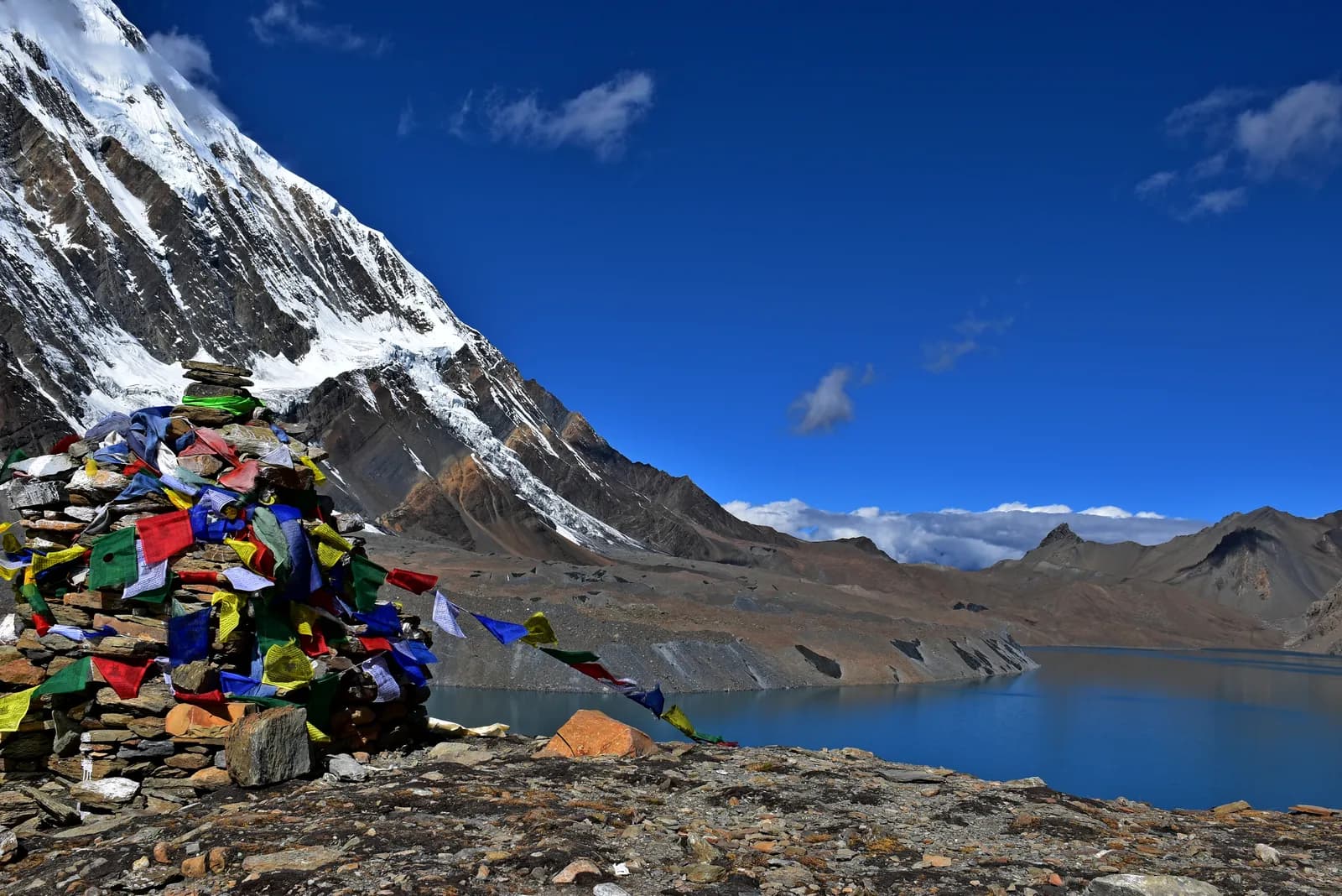
Two routes leave the main valley. The Nar Phu valley is a restricted area, entered at Koto below Chame, with its own permit and an 11-day loop that ends at Ngawal and Manang over the Kang La at about 5,306 m; see the Nar Phu itinerary. Tilicho Lake, at about 4,919 m, is a two or three day side trip from Manang; see the Tilicho Lake itinerary. Both add altitude and both need a guide. Decide before you reach Manang, because the rest day is the right moment to ask lodge owners about conditions.
Seasons
Manang's dryness helps in the monsoon, but the roads below do not share it, so landslides can still stop you getting there. October and November are the most popular months; March to May is the second window. Winter closes Thorong La for many trekkers. See best time for the Annapurna Circuit and snow and high-pass conditions.
Lodges, food and costs
Lodges in Manang are plentiful and the bakeries are famous. Rooms are cheap if you eat at the lodge. As of October 2026 the Annapurna cost data gives a dal bhat of NPR 700 to 1,200 between 2,500 and 3,800 m and NPR 1,300 to 1,600 above 3,800 m, a guide day of NPR 2,700 to 4,000 and a porter day of NPR 2,100 to 3,400, as operator market ranges, not official rates. Carry cash, because machines in Besisahar, Manang and Jomsom can run out.
Where to go next
The Annapurna Circuit partner page helps you find company, and the Annapurna region page holds the underlying data. See the Annapurna region trekking guide for the five treks, the region guides category for the rest of this series and Nepal's trekking regions for the map.
A day in Manang
A typical rest day starts late. Breakfast in a bakery, a slow walk to the Himalayan Rescue Association post for the afternoon altitude talk, and a short hike above the village in the morning with a long lunch. Many trekkers use the afternoon to wash clothes, charge batteries and repack for the climb to Yak Kharka. The most useful thing you can do is stay hydrated and eat well, because appetite often falls above 3,500 m. If you have a headache that does not clear after fluids and rest, tell your guide, and do not climb the next day. The rest day is there so that you can notice a problem while you are still at a comfortable height.
Who the valley suits
Manang suits trekkers who want a village with services at 3,500 m, a rest day with something to do and the choice of two side trips. It is less suited to travellers who want solitude, since the Circuit's busiest months fill the lodges, and it is a poor place to decide on a whim to add days. Plan the Nar Phu or Tilicho option before you reach Manang, ask your guide about the weather and the trail, and keep a spare day for the road home.
The Nar Phu Valley route page and the Annapurna Circuit route page hold the stage data for both routes that pass through Manang.