Limi Valley and Humla trekking guide
What trekking in Humla and the Limi Valley involves: the restricted-area permit, flights to Simikot, the three Tibetan villages, the high passes and who should attempt the 18-day loop.
Humla is Nepal's far north-west, a restricted area on the Tibet border that can only be reached by air or on foot, and its signature trek is the Limi Valley loop: 18 days from Kathmandu to Kathmandu, with flights via Nepalgunj to Simikot, a walk up the Humla Karnali to Hilsa, the Nara La (about 4,620 m), three Tibetan-speaking villages at 3,700 to 4,100 m, and a wilderness return over the Nyalu La (about 4,940 m). It is hard, it needs a restricted-area permit through an agency and a licensed guide, and it suits experienced trekkers who can tolerate delays. The Limi Valley route page has the day plan.
If that sounds like more logistics than you want, choose a road-accessible region instead. If it sounds right, the sections below explain the permit, the flights, the route and the realistic costs, and the Humla region page holds the reference data.
Limi Valley Trek의 모집 중인 여행
파트너를 찾는 트레커들이 올린 실제 여행입니다.
What Humla is
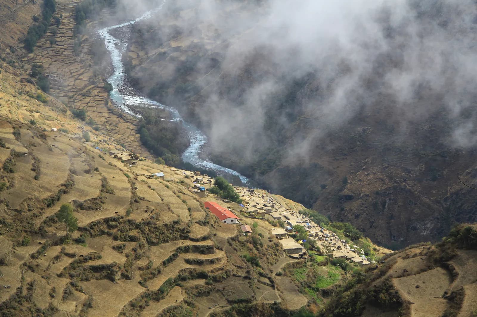
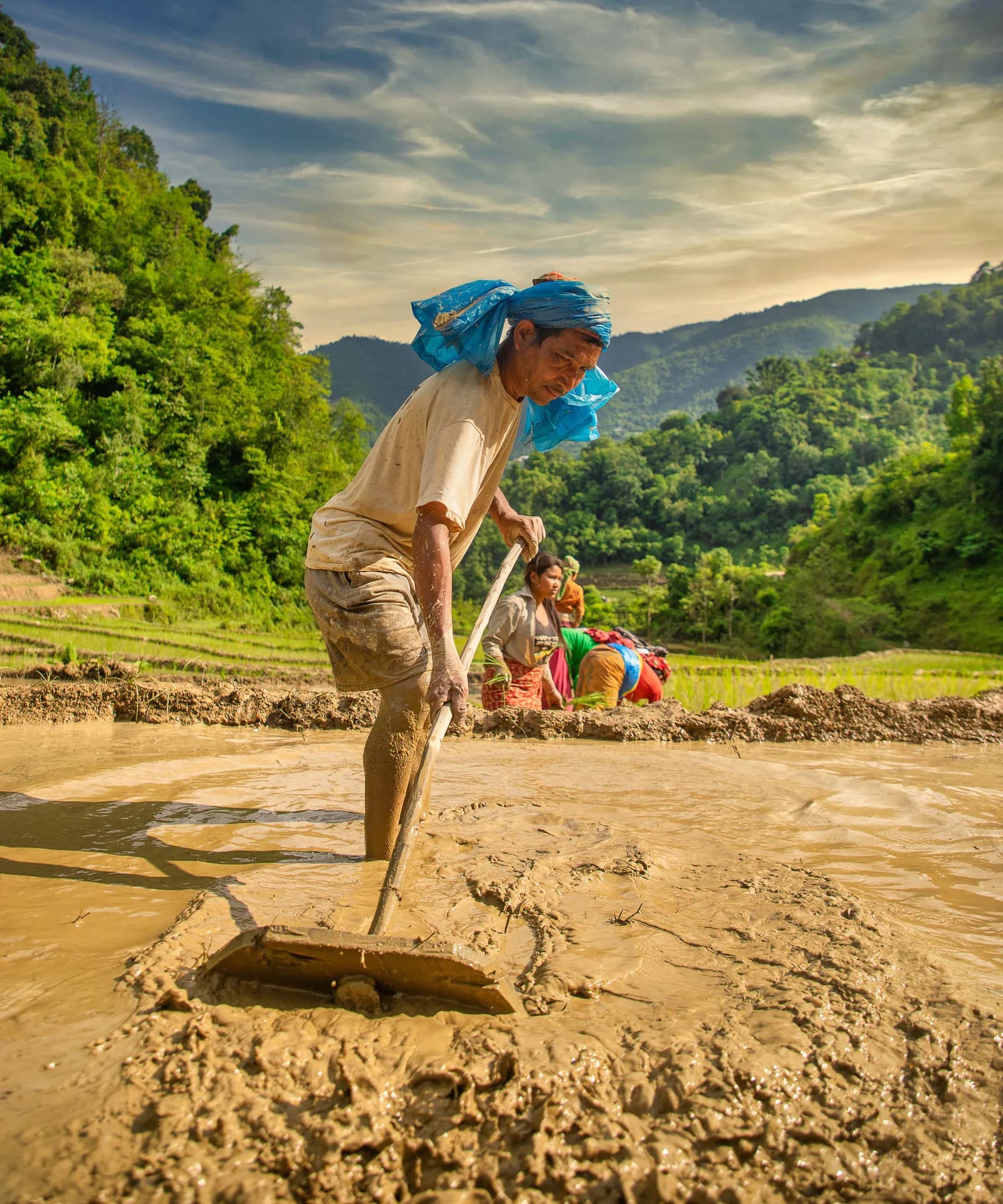
Humla is the second-largest district in Nepal at 5,655 square kilometres, with about 55,000 residents, all rural. More than half the district, 58.7 percent, lies in the alpine zone at 4,000 to 5,000 m. Hindus, mostly Chhetri and Thakuri, make up about 87 percent of the population and Buddhists about 12 percent, and the Buddhists are Tibetan-speaking people in the north, especially in Limi. Wild yaks, thought to be regionally extinct, were rediscovered in Humla in 2014.
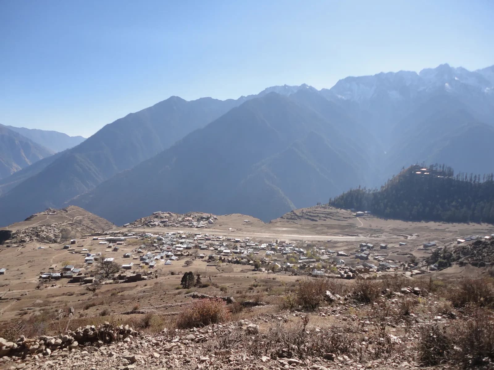
The district headquarters, Simikot, sits at about 2,900 m, with a bazaar, a hospital and an airstrip on a terrace above the town. From there the trail drops to Dharapuri (about 2,300 m) and follows the Humla Karnali upstream through Kermi (hot springs), Yalbang, Tumkot and Yari to Hilsa, the border post on the river. This is also the traditional Kailash pilgrim foot route.
The route in stages
The first six walking days follow the Karnali through pine forest and Tibetan-influenced villages with stone houses and monasteries, climbing from Simikot to Yari (about 3,700 m) in four days. That is fast, so drink well and keep a steady pace. The Nara La day is long: 6 to 7 hours and about 20 km with about 860 m of climbing, then a descent to Hilsa (about 3,720 m), where a bridge leads to Tibet.
After Hilsa the valley opens into the high Limi plateau of barley fields and juniper. The trail reaches Manepeme (about 3,900 m), crosses the Lamka La (about 4,300 m) and drops to Til, the first of the three Limi villages. Halji, the largest, has Rinchenling monastery of the Drikung Kagyu school. Traditional accounts date it to the 11th century, though a 2008 article places the foundation in the 13th or 14th century, so treat the date as tradition. A glacial lake outburst flood damaged Halji in 2011. Jang, at about 3,930 m, is the highest village.
The second half is the remote part. From Jang a stage of about 8 hours and 17 km climbs to Talung (about 4,370 m, the highest night), with no villages until Kermi. The next day crosses the Nyalu La and descends about 1,300 m to Shinjungma, a day of about 8 hours that operators call the hardest. Then Kermi's hot springs and two walking days back to Simikot.
Permit and guide: what is required
Humla is on the Department of Immigration's restricted-area list. The Nepal Tourism Board gives the fee as USD 50 per person for the first week and USD 10 per day beyond one week. One operator quotes USD 90 for ten days and other fee tables list different figures, so use the Board's number and ask the agency to confirm. The permit is arranged through a registered trekking agency, and your agency also arranges the TIMS card, which the Nepal Tourism Board lists at NPR 2,000 for foreigners (SAARC nationals NPR 1,000).
On the guide, the rule here is the plain one: in restricted areas (13 districts, including Manaslu, Upper Mustang and Upper Dolpo) a licensed guide through a registered agency is part of the permit, and the Department of Immigration reminded stakeholders of this in June 2026. Since 22 March 2026 an individual can apply for a restricted-area permit, but the guide is still required. Older operator pages still quote a minimum of two foreigners, which no longer applies since that date; ask your agency which notice it relies on. This is the opposite of the Khumbu position, where the municipality opted out of the Nepal Tourism Board rule of April 2023, and the guide rule by region page explains the difference. Our guide rule explainer has the sources, and the permits overview shows how a restricted-area permit sits alongside the others.
Flights, delays and buffers
Kathmandu to Nepalgunj is 45 to 60 minutes by air, and Nepalgunj to Simikot is about 40 to 45 minutes in a small plane. Flights depend on wind and cloud, and delays are the most common cause of trouble on this trek. Build at least two spare days into the end of the trip, ideally also one in the middle, and do not book an international flight the day after you return. Baggage allowances on the small aircraft are strict. Compare the approach with other far-west flights in our getting to Rara Lake guide and getting to Dolpo guide.
Seasons
April to June and September to November. April and May have dry trails and cold nights above Hilsa, June is warmer with first monsoon cloud at the end, and September is green after rain but landslide risk lingers. October and November have the clearest views, short days and frost at Til. December to February is not advised, because the passes are snowed in and the nights are bitter. The monsoon brings landslides on the lower trail and cancels flights.
Lodging, food and costs
Humla has few teahouses. Operators run Limi as a camping or homestay trek with a cook and porters, so the cost is an agency price rather than lodge bills. The pack's dated cost data (checked 18 October 2026) gives a guide day rate of NPR 4,000 to 6,000 and a porter day rate of NPR 2,100 to 3,400, with 16 guide days and 14 porter days on this route, and the Kathmandu to Nepalgunj return flight at about USD 100 to 140 each way (NPR 13,400 to 18,800 return). The Nepalgunj to Simikot fare was not found in our sources. Camping crew, tents and food are quoted by the agency and are not in those figures.
One trekker can now apply, but the agency guide and crew are still required, so a partner is the main way to cut the cost. A second person halves the guide and crew share, which is a reason to look early. The Limi Valley partner page lets you post dates, and the trekking partner hub explains the process. Agree in writing who pays what if someone leaves, using the advice in what if your partner cannot continue.
Altitude and evacuation
You sleep above 3,000 m from day five and above 4,000 m at Til and Talung. The long descent from Talung means you cannot easily turn back from the Nyalu La stage. Evacuation from Limi takes days: roads and hospital are far, and a helicopter needs good weather. Carry insurance that covers helicopter evacuation above 4,000 m and delays, ask which satellite messenger or radio the guide carries, and do not rely on phone coverage. See altitude sickness basics before you go.
Behaving as a guest in Limi
The Limi villages have been inhabited continuously for at least a thousand years by the accounts we found. Ask before photographing monks or interiors, circle chortens and mani walls clockwise, and do not touch ritual objects. Our monastery etiquette guide covers the details.
Verdict
Limi is for people who want remoteness and are willing to pay for it in days, permits and uncertainty. If you are weighing it against other restricted-area treks, compare it with Upper Dolpo or the Dolpo region guide, and start broader planning from the Nepal trekking regions guide.
이 트레킹 계획하기
사진
자주 묻는 질문
출처
- Limi Valley Trek 18 days (Travels with Teri)
- Simikot Hilsa Limi Circuit Trek (Eternal Himalaya)
- Limi Valley Trek (Peregrine Treks)
- Nepal Tourism Board: Trekking Permit (restricted areas)
- Diplomat Nepal: Department of Immigration reinforces mandatory guide rule for trekking in restricted areas (13 June 2026)
- Humla District (Wikipedia)