Getting to Dolpo: Nepalgunj and Juphal flights
To reach Dolpo you fly Kathmandu to Nepalgunj, then a small plane to Juphal at about 2,490 m. Why flights fail, the September 2026 runway incident, spare days.
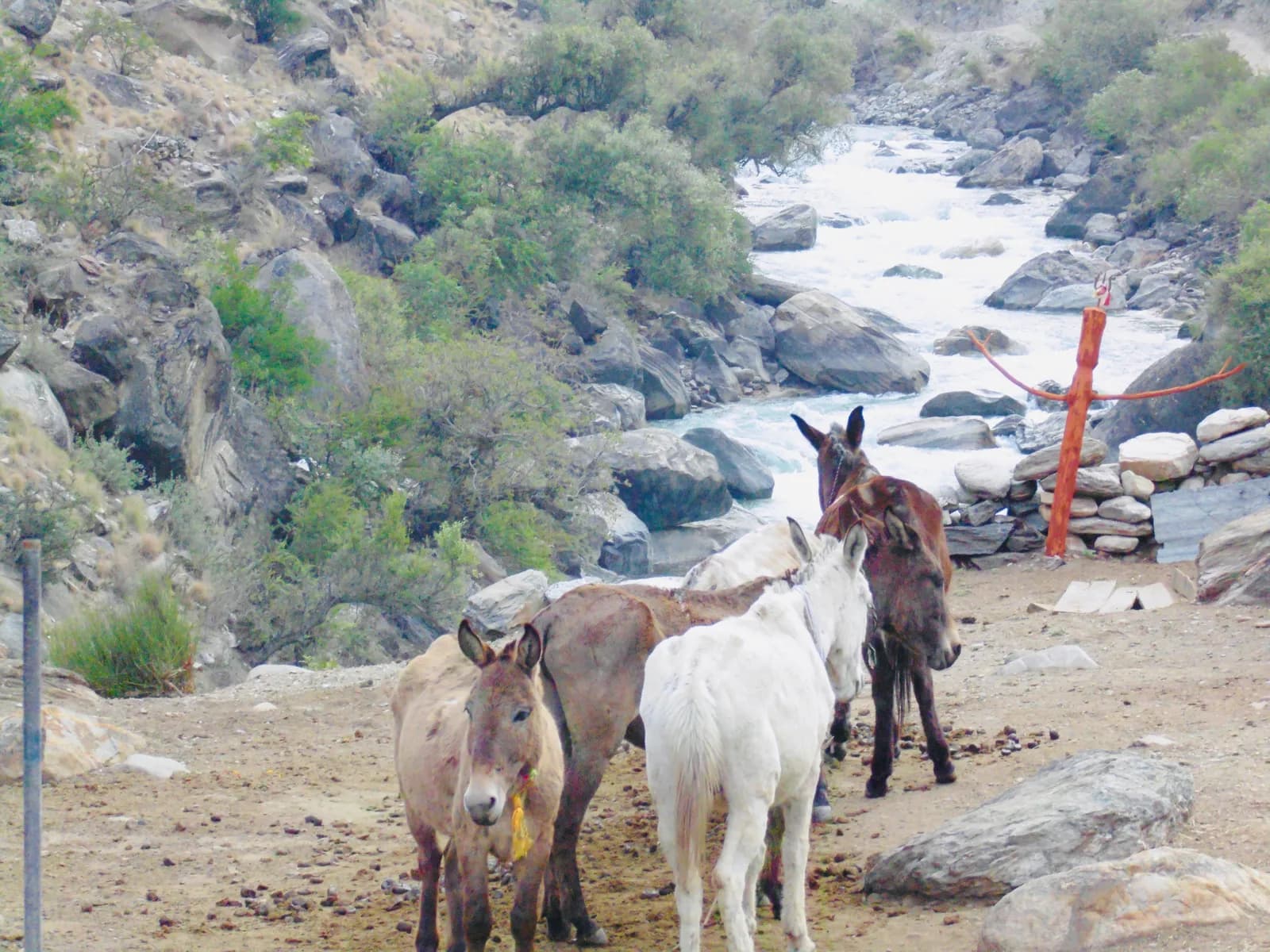
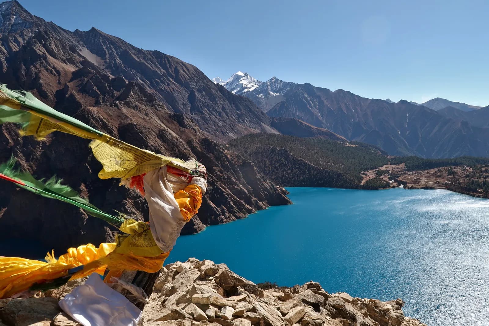
To reach Dolpo you fly twice. The first flight goes from Kathmandu to Nepalgunj in the Terai (about an hour), and the second is a small plane from Nepalgunj to Juphal, also called Dolpa or Jufal airport, at about 2,490 m above Dunai (about 40 minutes).
The trail starts there, because there is no road to Phoksundo Lake or Upper Dolpo. That is the access described on the Dolpo region page, and it means the schedule of your whole trek rests on two weather-dependent flights at each end.
Planning Dolpo? Find people to walk with on the Phoksundo Lake trekking partner page.
Both the Phoksundo Lake trek and the Upper Dolpo circuit start this way. This article covers the legs, what recent reporting says about Juphal, and how to plan so that a cancellation costs you a day, not the trek.
Open trips on Phoksundo Lake Trek (Lower Dolpo)
Real trips posted by trekkers looking for partners.
Leg 1: Kathmandu to Nepalgunj
Nepalgunj is close to the Indian border at about 160 m, and the route plan calls it the hub for far-west Nepal and the departure point for Juphal, Jumla and Talcha flights. It is often very hot and humid, and in the monsoon it can be extreme. Use the afternoon to sort permits, pack and rest, because the Juphal flight leaves early in the morning and depends on the weather. If you are combining Dolpo with Rara, the same hub serves both, as explained in getting to Rara Lake.
Leg 2: Nepalgunj to Juphal
The flight takes about 40 minutes on a small plane over foothills and snow peaks, landing on a short airstrip at about 2,490 m. On clear mornings it gives first views of the Dhaulagiri range. The air is cool and dry after Nepalgunj, so carry warm layers in your day bag. Small aircraft have strict baggage limits, so pack soft bags and expect bulky items to travel separately, as the region page notes.
What recent reports say about Juphal
Two reports show how fragile this airstrip is. Online Khabar reported that Jufal Airport resumed after 53 days of closure; the story was published in an earlier year, so do not read it as current news, but it shows that closures can last weeks. More recently, on Thursday 24 September 2026, a Sita Air Dornier 228 (registration 9N-AJH) flying from Nepalgunj lost its right main wheel while landing at Juphal and stopped on the runway. Aerocorner reported that all 13 passengers and three crew were safe, that the disabled aircraft blocked the runway and that the airport suspended all flights. Sources differed on the details: the Civil Aviation Authority described a landing gear problem during the landing roll, police said a rear tyre came off, and another outlet described a burst tyre. The cause has not been published, and the article gave no reopening date, saying only that technicians were being flown in by helicopter.
We found no later report on when flights resumed, and a third-party aggregator suggested very low frequency in July 2026, though that is not an official schedule. The practical lesson is to ask your agency, a few days before departure, whether Juphal is operating and which airline will fly you, and to expect that this can change at short notice.
Weather, seasons and schedules
Juphal flights are suspended in heavy cloud or wind. The best months for Dolpo are May and June, and September and October, because the region is in the rain shadow, but the region page warns that in July and August cloud over the Terai and Nepalgunj can stop flights even though the plateau is drier than most of Nepal. In winter the high villages are empty and snow disrupts trails. Whatever the month, the airstrip is short and the weather changes quickly, so treat any date as provisional.
The overland alternative
Overland routes exist from Surkhet and from Jumla, but they take several days and are mostly used by local traders and expedition groups, according to the region page. We found no reliable bus or jeep timetable and do not recommend planning a trek around one. If you have a spare few weeks, the Jumla side is covered by the Rara access guide, though crossings between Dolpo and Rara or Jumla need separate permits and a full expedition.
Building in slack
The route plan recommends two spare days. Our suggestions:
- One spare day at the start in Nepalgunj, in case the Juphal flight is cancelled. If it is, you spend another night there.
- One spare day at the end at Juphal before flying back, because flights from Juphal are often delayed.
- A free day in Kathmandu before any international flight.
- A written agreement with the agency about extra nights for guide, cook and porters, and how Upper Dolpo permit days are counted if you are delayed. See the Dolpo permits article.
- Insurance that covers rescue above 5,000 m and helicopter evacuation, which the region page says is needed for Upper Dolpo.
If the Kathmandu flight is the same day as your Juphal return, you connect at Nepalgunj; otherwise you rest at a hotel. The same-day option is risky if you have a fixed onward ticket.
Arrival and departure at the airstrip
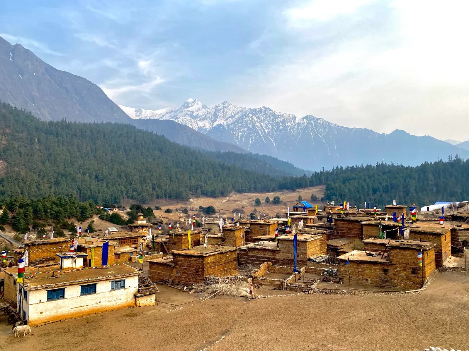
Juphal sits above Dunai, the Dolpa district headquarters, which the Upper Dolpo plan describes as having a bazaar, a hospital and basic lodges, about 10 km and 3 to 4 hours' walk from Juphal on the final day of the Upper Dolpo plan. Juphal itself has a few lodges and an airport office that checks your flight status. On the way in the plan has you meet your crew, check permits and rest, and on the way out the plan recommends a spare day. If you can, arrive at Juphal with your permits already in order, because the first checkpoint is there.
Lower Dolpo and Upper Dolpo: different exposure
The two treks carry different flight risk. Phoksundo Lake takes about 10 days from Kathmandu, so a two-day delay is a large share of the schedule, but you can adjust a short trek more easily and a missed return flight costs a few extra hotel nights. Upper Dolpo takes 22 days and includes four rest days, but its permit is charged by day in the area and most of the crew is paid by the day, so delays cost more. Neither plan has an alternative exit from the high plateau: the passes are long, rescue can take a full day, and there is no road. That is why the region page tells you to plan for flight delays and extra days.
Questions to ask before you book flights
- Which airline will fly the Juphal leg, and is it operating for my dates?
- Who bears the cost if the flight is cancelled and I need another night in Nepalgunj?
- Does the agency hold a seat reservation for the return, and what does it do if a delay pushes me past my international ticket?
- Does my insurance cover cancellation and delay on domestic flights, and does it cover helicopter evacuation if the flight cannot land?
If an agency says "flights always run", treat that as a red flag. The reports above show otherwise.
Money
Bring enough cash from Kathmandu or Nepalgunj, because Dunai has few services and there are no machines beyond it. Keep small notes for lodges and villages.
Where to read next
The Dolpo region guide explains Lower and Upper Dolpo, and the Upper Dolpo itinerary gives the 22-day plan. For other trailheads see the trailheads guide.