

Take a micro-bus or taxi to Budhanilkantha and walk to the park gate, a short way beyond the temple. Buy your ticket, then follow the park road to Nagi Gompa, where a nunnery sits in the forest, and continue on the forest path through Baghdwar, a source of the Bagmati river, to Shivapuri Peak. The climb is about 6 km, with about 1,090 m of ascent, and takes about four hours. Rest at the summit, which is 2,732 m, then return by the same route, about two to three hours, so that you finish before dark. Carry two litres of water and a lunch.
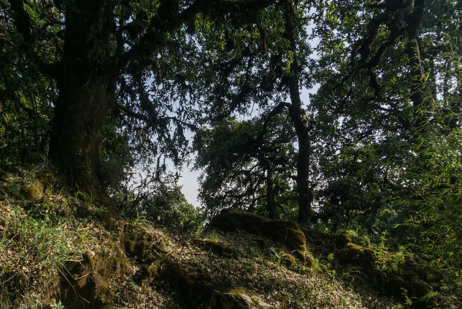
Shivapuri Peak Day Hike
A one-day hike from the Budhanilkantha gate of Shivapuri Nagarjun National Park through Nagi Gompa to Shivapuri Peak (2,732 m) and back, about 12 km with 1,090 m of climbing.
- 天數1
- 最高海拔2,732 公尺
- 距離12.2 公里
- 爬升1,089 公尺
- 難度中等
- 最佳月份Oct–Nov, Mar–Apr
- 許可1
照片:Alexey Komarov · CC BY-SA 4.0
以英文顯示——尚未翻譯。
此行程為草稿,尚未經過確認。請務必與你的嚮導確認各段行程。
Written by FindTrekkingPartner team審閱者:FindTrekkingPartner team我們如何審閱FindTrekkingPartner
Shivapuri Peak Day Hike是位於尼泊爾Kathmandu Valley地區的 1 天健行路線,最高海拔達 2,732 公尺。外國健行者可以在 FindTrekkingPartner 發布行程,填入日期、預算與步調,為這條路線尋找夥伴。在雙方健行者都同意之前,配對結果會保持私密,且服務完全免費。 以中等價位計算,四位健行者共用時,持照嚮導 1 天的費用約為每人 9 美元(USD),一人獨自健行則為 37 美元(USD)。最佳季節為Oct–Nov, Mar–Apr。 像這樣的開放路線並不強制要求持照嚮導(2026 年 10 月 19 日查證):昆布(Khumbu)自治市已退出尼泊爾旅遊局 2023 年 4 月的規定,當日往返的健行也不需要,但仍強烈建議請嚮導,請向你的代理商確認。 這條路線的開放行程列於下方,附有出發月份、團隊人數與剩餘名額。 最後查證日期:2026年10月19日。資料來源:尼泊爾旅遊局(Nepal Tourism Board)、DNPWC、移民局。
資料來源:Department of Immigration, NepalNepal Tourism BoardDepartment of National Parks and Wildlife Conservation
尋找Shivapuri Peak Day Hike的夥伴
- 尋找Shivapuri Peak Day Hike的夥伴目前尚無開放行程
- 尋找Nagarkot to Changu Narayan Day Hike的夥伴目前尚無開放行程
- 尋找Chisapani Nagarkot Trek的夥伴目前尚無開放行程
- 尋找Champadevi Day Hike的夥伴目前尚無開放行程
- 尋找Phulchowki Day Hike的夥伴目前尚無開放行程
- 尋找Namo Buddha Day Hike的夥伴目前尚無開放行程
概覽
從 Budhanilkantha 出發1 天 · 最高 2,732 公尺
最佳季節:Oct–Nov, Mar–Apr · 許可:Shivapuri Nagarjun National Park entry permit (NPR 1,000 for foreigners)
The Shivapuri Peak hike is a one-day walk from the Budhanilkantha gate of Shivapuri Nagarjun National Park to the summit of Shivapuri, 2,732 m, and back, a route of about 12 km with about 1,090 m of climbing that takes six to seven hours for most walkers. The trail follows the park road to Nagi Gompa, a nunnery in the forest, then climbs through Baghdwar, a source of the Bagmati river, to the top, where on a clear morning you see the Kathmandu Valley below and the Langtang and Ganesh Himal ranges beyond. There is no food on the trail, so carry water and lunch. The park entry fee for foreigners is NPR 1,000. It needs no guide, no flight and no gear beyond boots, water and a rain jacket, and the best months are October to November and March to April.
The plan follows operator descriptions that agree on the Budhanilkantha start, Nagi Gompa and the Bagmati source, and on the six to seven hour timing; one of them measures about 16 km and 1,585 m of gain with extra loops, and ours is the direct route. The height of the peak, 2,732 m, comes from Wikipedia, OpenStreetMap and the operators.
What the hike is like
After the gate the path follows the park road to Nagi Gompa, then a path through oak and rhododendron forest, with stone steps near the top. The Baghdwar spring, a stone spout carved as a face, is on the way. Mist can hide the way on the upper ridge, so carry a map. Monkeys live in the forest and should not be fed.
Permits and rules
The park entry fee is NPR 1,000 for foreigners and NPR 600 for SAARC nationals per entry, according to the Nepal Tourism Board. Carry your ticket on the trail.
Best season
October to November and March to April. In the monsoon the trail is slippery and cloud hides the views.
Getting there and away
Take a micro-bus or taxi from Kathmandu to Budhanilkantha, about 30 to 45 minutes. The gate is a short walk beyond the temple, and the return is the same way.
Difficulty and fitness
The hike is moderate: it climbs about 1,090 m, mostly on stone steps and forest paths, and takes six to seven hours. Good boots, two litres of water and a rain jacket are enough. Start by 7 am so that you are down before the afternoon cloud and before dark.
Budget notes
The only fee is the park entry, NPR 1,000 for foreigners. Add a micro-bus or taxi to Budhanilkantha and lunch. The costs section shows the transfer as a line to check.
Guide rule
Buy the park entry ticket at the gate; no guide check is reported on this route (checked 19 October 2026). See the guide rule by region.
亮點
- Shivapuri Peak at 2,732 m, the highest point of the park
- Nagi Gompa, a nunnery in the forest above Budhanilkantha
- Baghdwar, a source of the Bagmati river
- Oak and rhododendron forest within sight of the city
- A full day hike that starts at a city bus stop
路線地圖
路線資料來自 OpenStreetMap,尚未經我們團隊查核。請用於規劃,而非導航。
逐日行程
費用
每人的全包估計費用:依海拔計算的旅舍與餐食、交通、許可,以及嚮導與挑夫。分攤嚮導與挑夫的健行者越多,每個人付的就越少。 截至 2026年10月。
| 風格 | 1 位健行者分攤 | 2 位健行者分攤 | 4 位健行者分攤 |
|---|---|---|---|
| 經濟 | US$0–US$10* | US$0–US$10* | US$0–US$10* |
| 中等 | US$50–US$80* | US$30–US$50* | US$20–US$40* |
| 舒適 | US$50–US$80* | US$30–US$60* | US$30–US$50* |
分攤嚮導,省下開銷
以中等價位計算,單獨健行者約需支付 US$50–US$80;四位健行者分攤一位嚮導和兩位挑夫,每人約 US$20–US$40(以價格區間上限計算,少 60%)。
2 位健行者分攤的費用明細
| 項目 | 經濟 | 中等 | 舒適 |
|---|---|---|---|
| 許可 | US$0–US$10 | US$0–US$10 | US$0–US$10 |
| 嚮導 | — | US$10–US$30 | US$10–US$30 |
| 挑夫 | — | US$0–US$20 | US$10–US$30 |
經濟型使用大眾運輸且不請挑夫;中等價位為兩位健行者共用一位挑夫和一輛包車;舒適型則每位健行者各有一位挑夫。在規定需要嚮導,或風格為中等價位或舒適型時,費用已包含嚮導。
許可費用(官方來源)
- Shivapuri Nagarjun National Park entry permit: NPR 1,000 每次入園 來源
不含
找不到以下項目的公開價格:Kathmandu to Budhanilkantha and back。標有 * 的總額未計入這些項目;請向旅行社詢問。 Park entry ticket at the gate; no guide check reported (checked 19 October 2026).
費用來源
- PriceNepal: Nepal Travel Cost Guide 2026 (2026-05-14)
- Third Rock Adventures: Nepal trek budget planner (2026-05-09)
- Himalayan Partner: Guide and porter price in Nepal 2026 (2026-02-10)
- Shikhar Adventure: Annapurna Circuit trek cost (2026-02-03)
- Nepal Tourism Board: Trekking Permit (2026-10-18)
估算依據業者指南,並非報價。小費、保險、裝備與加德滿都的飯店不包含;美元依平台匯率計算。
照片
常見問題
Six to seven hours for the round trip, according to operators, with about four hours of ascent. Our map shows about 12 km and 1,090 m of climbing each way.
2,732 m, according to Wikipedia, OpenStreetMap and operator pages. One operator listing gives 2,535 m, which looks like an error.
Yes, the Shivapuri Nagarjun National Park entry permit, NPR 1,000 per person for foreigners and NPR 600 for SAARC nationals, per the Nepal Tourism Board. Children under 10 enter free.
No. Operators note that there are no food stops, so carry water and lunch. Nagi Gompa is a nunnery, not a restaurant.
資料來源
沿途地點
路線每一天沿途的住宿、醫療協助、水源與景點。
1. Budhanilkantha
- Camping · 住宿 · 1,858 公尺
- Drinking Water · 實用資訊 · 1,989 公尺
- Baghdwar · 實用資訊 · 2,513 公尺
- Abandoned Hut · 住宿 · 2,726 公尺
- View Point · 觀景點 · 2,691 公尺
- Camp · 住宿 · 2,344 公尺