

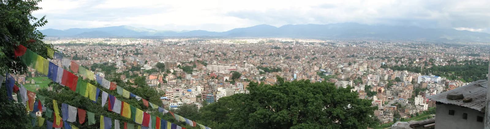
Kathmandu Valley
The Kathmandu Valley rim has Nepal's easiest walks: the Chisapani to Nagarkot ridge trek and the Shivapuri Peak day hike (2,732 m), both inside or beside Shivapuri Nagarjun National Park, reached by city bus or taxi.
- 最高海拔Shivapuri Peak (2,732 m)
- 天數1–3
- 難度easy-moderate
- 最佳月份Oct–Nov, Mar–Apr
- 許可1 項許可
照片:Mike from Vancouver, Canada · CC BY 2.0
Check that your policy covers helicopter evacuation and trekking at this region's altitude. We don't sell insurance.
What to look forWritten by FindTrekkingPartner team審閱者:FindTrekkingPartner team我們如何審閱FindTrekkingPartner
Kathmandu Valley是尼泊爾的健行地區,路線為 1–3 天,最高海拔達 2,732 公尺。外國健行者可以在 FindTrekkingPartner 發布行程,填入日期、預算與步調,為這裡的健行尋找夥伴。在雙方健行者都同意之前,配對結果會保持私密,且服務完全免費。 以中等價位計算,四位健行者共用時,持照嚮導 3 天的費用約為每人 28 美元(USD),一人獨自健行則為 112 美元(USD)。最佳季節為Oct–Nov, Mar–Apr。 像這樣的開放路線並不強制要求持照嚮導(2026 年 10 月 19 日查證):昆布(Khumbu)自治市已退出尼泊爾旅遊局 2023 年 4 月的規定,當日往返的健行也不需要,但仍強烈建議請嚮導,請向你的代理商確認。 這條路線的開放行程列於下方,附有出發月份、團隊人數與剩餘名額。 最後查證日期:2026年10月19日。資料來源:尼泊爾旅遊局(Nepal Tourism Board)、DNPWC、移民局。
資料來源:Department of Immigration, NepalNepal Tourism BoardDepartment of National Parks and Wildlife Conservation
- 尋找Shivapuri Peak Day Hike的夥伴目前尚無開放行程
- 尋找Nagarkot to Changu Narayan Day Hike的夥伴目前尚無開放行程
- 尋找Chisapani Nagarkot Trek的夥伴目前尚無開放行程
- 尋找Champadevi Day Hike的夥伴目前尚無開放行程
- 尋找Phulchowki Day Hike的夥伴目前尚無開放行程
- 尋找Namo Buddha Day Hike的夥伴目前尚無開放行程
- 尋找Nagarjun Jamacho Day Hike的夥伴目前尚無開放行程
- 尋找Chandragiri Hills Day Hike的夥伴目前尚無開放行程
概覽
- 持照嚮導
- 請確認當地最新規定
- 最少人數
- 1 位健行者
No restricted area and no guide requirement. The Shivapuri Nagarjun National Park entry permit applies to the Chisapani trail and Shivapuri Peak (NPR 1,000 for foreigners).
熱門路線
出發地點
Kathmandu, Sundarijal, Budhanilkantha
交通方式
All walks start by road from Kathmandu: Sundarijal is about 15 km and 30 to 60 minutes away, Budhanilkantha is reached by micro-bus, and Changu Narayan and Nagarkot are east of the city. Tribhuvan International Airport lies inside the valley.
The Kathmandu Valley is the only trekking region in Nepal that you can start on a city bus, and its best-known walks follow the rim of the bowl: the two-night Chisapani to Nagarkot ridge walk and the one-day climb to Shivapuri Peak at 2,732 m. Both run through or beside Shivapuri Nagarjun National Park, which was set up in 2002 to protect the water catchment of the capital and covers 159 square kilometres. The valley floor is at about 1,300 m, so none of these walks is high, and they work as a first trek, a warm-up for a longer one, or a way to fill the days before a flight. The clearest months are October to November and March to April, and a ridge walk of two or three days needs only a small pack.
What the Kathmandu Valley is
The Kathmandu Valley is a bowl-shaped valley in the Himalayan foothills with an urban population of about five million. Wikipedia counts at least 130 important monuments and seven World Heritage Sites in it, among them Bhaktapur Durbar Square, Changu Narayan and Swayambhunath. The towns of Kathmandu, Lalitpur and Bhaktapur sit on the old lake bed, and the surrounding hills rise to 2,000 m and more on every side: Shivapuri to the north, Nagarkot to the east, Phulchowki to the south-east and Nagarjun and Jamacho to the north-west.
The hills are the valley's trekking country. They are accessible by public transport, have footpaths and old trade routes, and in the cooler seasons give long views to the Himalaya. They are also within the daily air of a city, so haze and smoke often hide the peaks in the afternoon. Start early, because the clearest light is between sunrise and about nine in the morning.
Shivapuri Nagarjun National Park
Shivapuri Nagarjun National Park was established in 2002 as Nepal's ninth national park and covers 159 square kilometres across Kathmandu, Nuwakot and Sindhupalchok districts, with an extension into Dhading. It was first gazetted at 144 square kilometres and extended in 2009 by the 15 square kilometre Nagarjun Forest Reserve. Shivapuri Peak, which gives the park its name, rises to 2,732 m, and the typical middle-hill forest lies between 1,000 and 1,800 m.
The park is a catchment that supplies the valley with water, and the Melamchi tunnel, about 26 km long, brings extra water into the valley at Sundarijal. Wikipedia lists a 2003 to 2004 field study that found the Indian leopard, Himalayan black bear, golden jackal, rhesus monkey and Hanuman langur, camera traps that photographed clouded leopards and pangolins in 2010, and 318 bird species. You are unlikely to see a leopard on a day hike, but birdsong and monkeys are common along the trail.
The entry fee for foreigners is NPR 1,000 per person per entry, according to the Nepal Tourism Board's park fee table, and children under 10 enter free. The entrances used by hikers are the gate near Budhanilkantha, where the Shivapuri Peak path starts, and the gate at Sundarijal, where the Chisapani trail starts.
Walks around the valley
Chisapani to Nagarkot is the classic three-day ridge trek. A short drive takes you from Kathmandu to Sundarijal, which is about 15 km out and roughly 30 minutes by taxi, and the first day climbs through Mulkharka and forest to Chisapani, at about 2,170 m, in five to six hours. The second day follows the ridge and forest road through Jhule and Chauki Bhanjyang to Nagarkot, in seven to eight hours, and the third day walks down to Changu Narayan before a drive back to Kathmandu. On our map the route is about 42 km in total, and it follows a marked trail for most of the way.
Shivapuri Peak is a full day on foot from the Budhanilkantha gate to Nagi Gompa and the summit and back, six to seven hours, about 12 km round trip with 1,090 m of climbing.
Nagarkot, Changu Narayan and Budhanilkantha
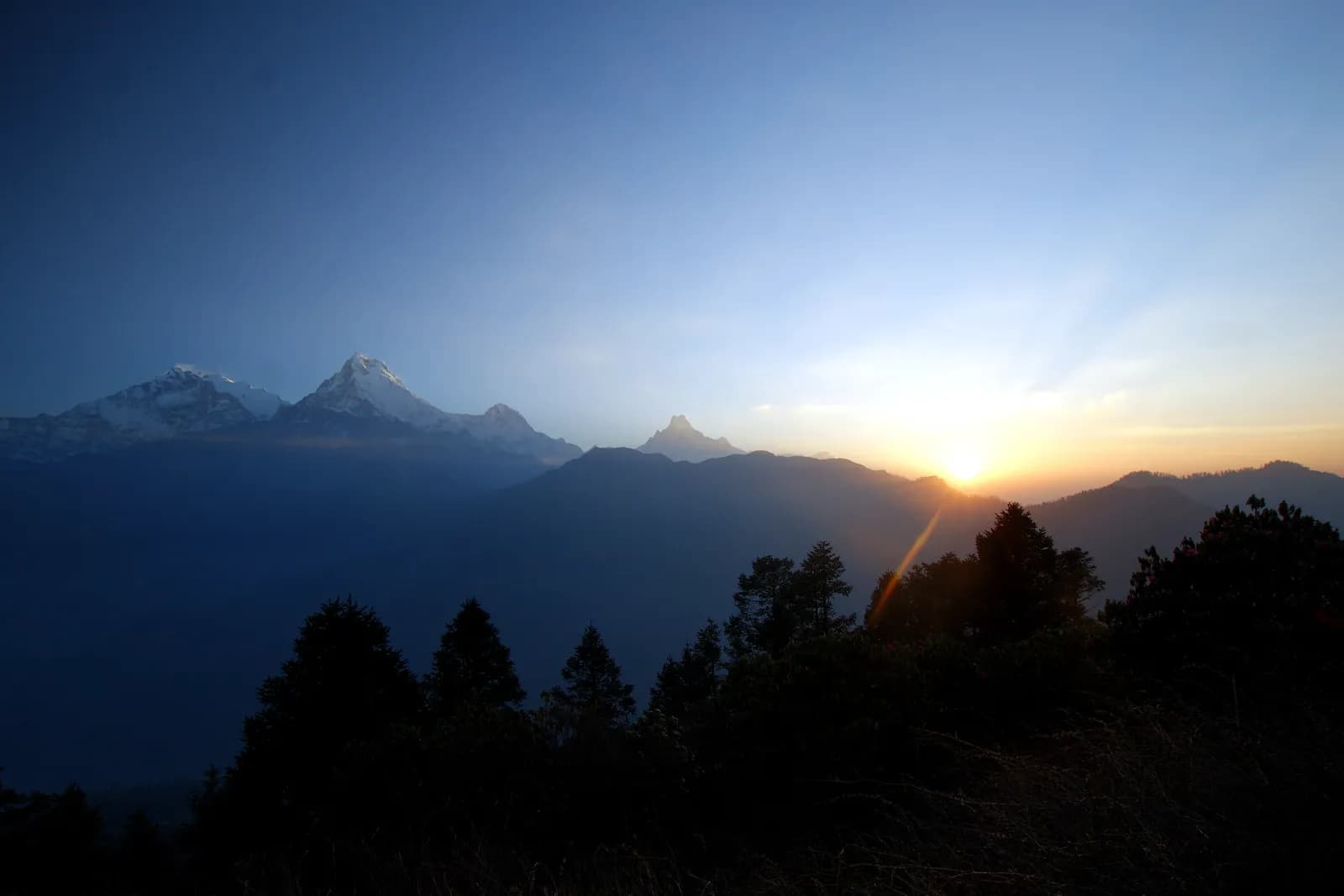
Nagarkot is a hill station on the eastern rim of the valley in Bhaktapur District, about 32 km from Kathmandu, at about 2,195 m by Wikipedia's figure. It is known for sunrise views, and Wikipedia says that eight of Nepal's thirteen Himalayan ranges can be seen from it on a clear day, including the Annapurna, Manaslu, Ganesh Himal, Langtang, Jugal, Rolwaling, Everest and Numbur ranges. The viewpoint tower sits at about 2,160 m on the elevation model, a little above the lodges.
Changu Narayan is a Vishnu temple on a hilltop about 12 km east of Kathmandu. Wikipedia dates it to the fourth century and notes that it is one of the oldest Hindu temples in Nepal and has been a World Heritage Site since 1979. Walking down to it from the ridge makes a good ending for the three-day trek.
Budhanilkantha, at the foot of Shivapuri, takes its name from the large reclining Vishnu statue in its temple. The town has grown into the third largest city in the valley, and it is the usual starting point for the Shivapuri Peak walk.
Getting there
All the walks start from the city by road. Sundarijal is about 15 km from Kathmandu and takes 30 to 60 minutes by taxi or local bus, depending on traffic. Budhanilkantha is reached by micro-bus from the centre of Kathmandu, and the park gate is a short walk beyond the temple. Nagarkot and Changu Narayan are both east of the city: a drive from Kathmandu to Changu Narayan takes about an hour. No flight is needed, and Tribhuvan International Airport is within the valley, so a walk can be fitted before or after an international flight.
When to go
October and November give the clearest skies and the most reliable views, and March and April are warm with rhododendron in flower on the upper slopes. December to February is cold but dry, and the views can be excellent after a clear night. The monsoon from June to September brings cloud and leeches on the forest trails, and the ridge is often hidden. Weekends and public holidays are busier on the Shivapuri trails and at Nagarkot.
Permits and rules
There is no restricted-area permit anywhere in the valley. The Shivapuri Nagarjun National Park entry permit applies to Shivapuri Peak and to the Chisapani trail, at NPR 1,000 for foreigners (NPR 600 for SAARC nationals, as listed by the Nepal Tourism Board). Walks to Nagarkot and Changu Narayan outside the park need nothing beyond local temple fees. Carry your passport and keep your ticket with you on the trail.
Lodging, food and costs
Chisapani and Nagarkot both have many lodges and small hotels. Chisapani has teahouse-style lodges with dal bhat and a view of the Langtang and Jugal peaks, and Nagarkot has hotels at all price levels. Our cost estimates use Nepal-wide price ranges for lodging and meals at low altitude and add taxi fares that we show as a line to check, since no source we found lists a fixed taxi price to Sundarijal. On Shivapuri Peak there is no food on the trail, so carry water and snacks.
Altitude and safety
None of these walks needs acclimatisation, because the highest point is about 2,700 m. The risks are heat and dehydration on the lower slopes, slippery stone steps in the rain, and navigation where logging roads cross the trail. Mist on the ridge can hide the way, so use a map or a guide, and start early enough to be off the ridge by late afternoon. A short list for a day on the hills: water, a rain jacket, a hat, snacks, a charged phone and a copy of your passport.
Culture on the rim
The valley is the heartland of Newar culture, and Wikipedia notes that it has the highest number of jatras, the street festivals that carry gods through the towns on chariots, of any part of Nepal. The same hills that you walk are dotted with the shrines those festivals look to: Changu Narayan on its hilltop, the Vishnu image at Budhanilkantha, the nunnery at Nagi Gompa on the way to Shivapuri, and Buddhist and Hindu shrines at every pass and spring. The April 2015 earthquake damaged many monuments in the valley, and rebuilding has continued for years, so you will see scaffolding at some temples, including in Bhaktapur's square.
Because the walks are short, they combine well with sightseeing. A common plan is two days in the old towns, then the three-day ridge walk, then a final morning at Changu Narayan or Bhaktapur before the drive back. It is easy to turn the walks into a school or family outing, since the stages are short and the drive back is by road.
Seeing the Himalaya from the valley
The reason for most of these walks is the view. From the ridge at Nagarkot, Wikipedia says that eight of Nepal's thirteen Himalayan ranges can be seen on a good day, and Dorje Lakpa in the Jugal Himal, which the Wikipedia article on the mountain says is visible from the valley, is one of the peaks that photographers pick out. The best light is in the first hour after sunrise and again just before sunset, when the low sun picks out the ridges. In October and November the sky is cleanest, and the views from Chisapani and Nagarkot are the reason that those two nights are the standard plan. In the monsoon the peaks are often invisible, so plan for forest walking rather than panoramas.
A weekend plan
For a short stay, take the Shivapuri Peak walk on the first day, because it is the most demanding and gives the best view of the whole valley from the north, then rest the next day in the city and walk the Chisapani ridge over the following two days. If you have only two nights, walk from Sundarijal to Chisapani on the first day, stay the night, and walk to Nagarkot the next day, then take a taxi down instead of walking to Changu Narayan. Every stage can be shortened by using the road that runs beside the ridge, which makes the route forgiving if the weather turns.
What to carry
A small day pack, a light rain jacket, a warm layer for the ridge nights, a head torch for the sunrise, sun protection and water for at least a litre and a half per person are enough. Lodges on the ridge give blankets, but a thin sleeping bag liner is welcome in winter. Boots are better than trainers on the stone steps, especially after rain, and trekking poles help on the long descent to Changu Narayan.
Practical tips
- Start at first light for the clearest views and the coolest walking.
- Carry cash in small notes for the park fee and for lodges.
- In the monsoon, expect overgrown trails and leeches, and consider a guide.
- Do not feed monkeys, and keep food out of sight on Shivapuri.
- Take a taxi back from Changu Narayan rather than walking along the road.
Sources and how we checked them
The route times come from three operator itineraries for Chisapani and Nagarkot, which agree on five to six hours on the first day and six to eight on the second, and from our own map for the distances. Park, valley and temple facts come from Wikipedia, and the entry fee from the Nepal Tourism Board's park fee page. Where operators disagree on heights, we use the elevation model and state a range.
此地區的所有路線
我們在此涵蓋的所有標準路線。點選路線即可開啟其逐日行程。
比較路線
依長度、高度、難度或估計費用排序路線,找到適合你的那一條。
依天數 ↑排序
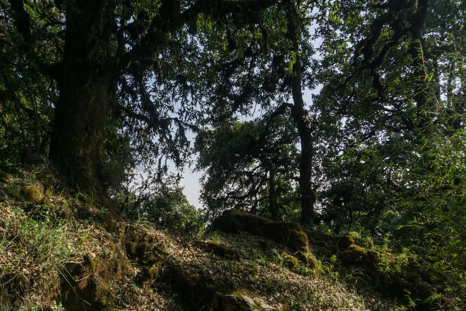
Shivapuri Peak Day Hike 草稿
12,732 公尺12.2 公里
中等逐日行程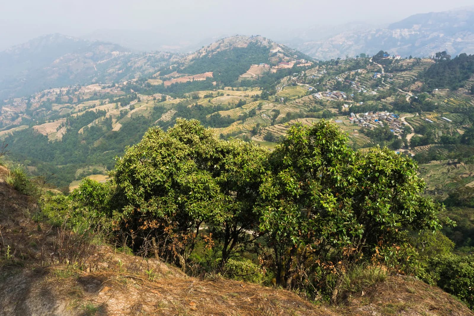
Nagarkot to Changu Narayan Day Hike 草稿
12,175 公尺11.7 公里
簡單逐日行程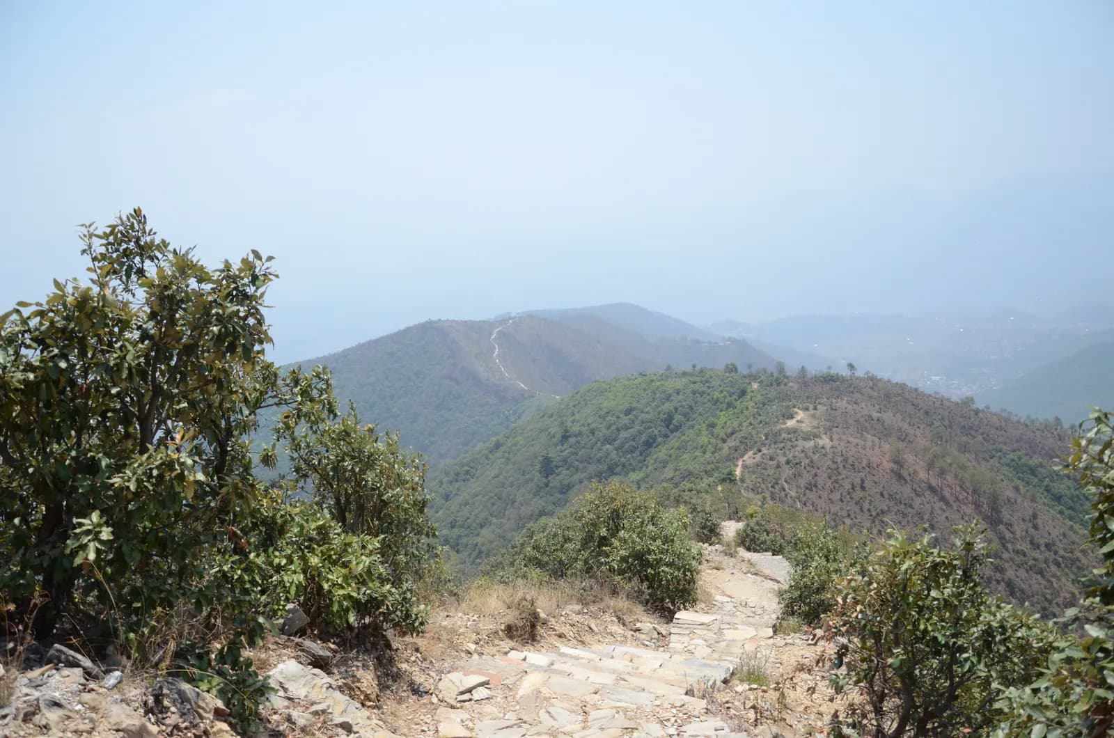
Champadevi Day Hike 草稿
12,285 公尺11.2 公里
中等逐日行程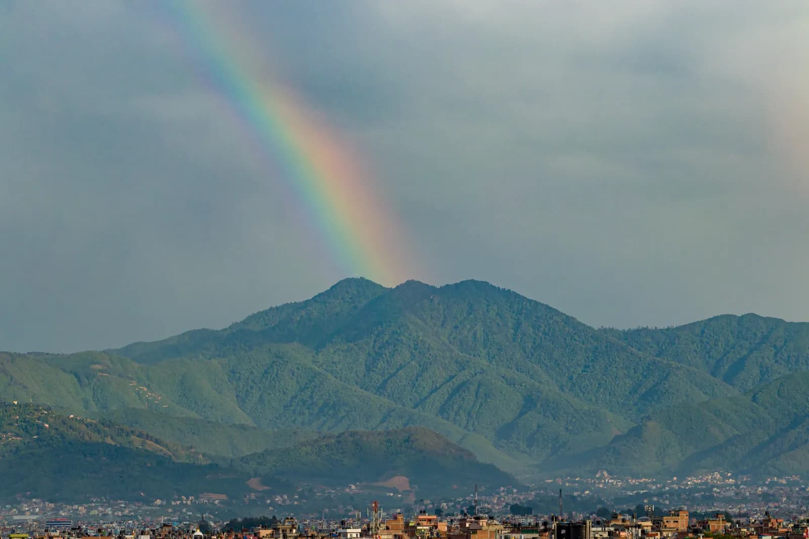
Phulchowki Day Hike 草稿
12,782 公尺13.1 公里
中等逐日行程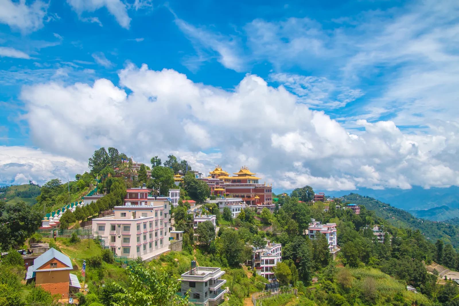
Namo Buddha Day Hike 草稿
11,750 公尺18.8 公里
簡單逐日行程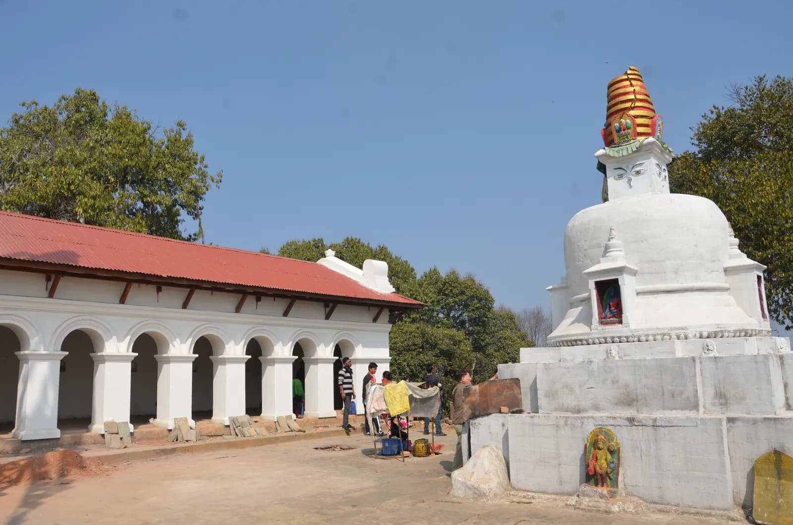
Nagarjun Jamacho Day Hike 草稿
12,128 公尺6.2 公里
簡單逐日行程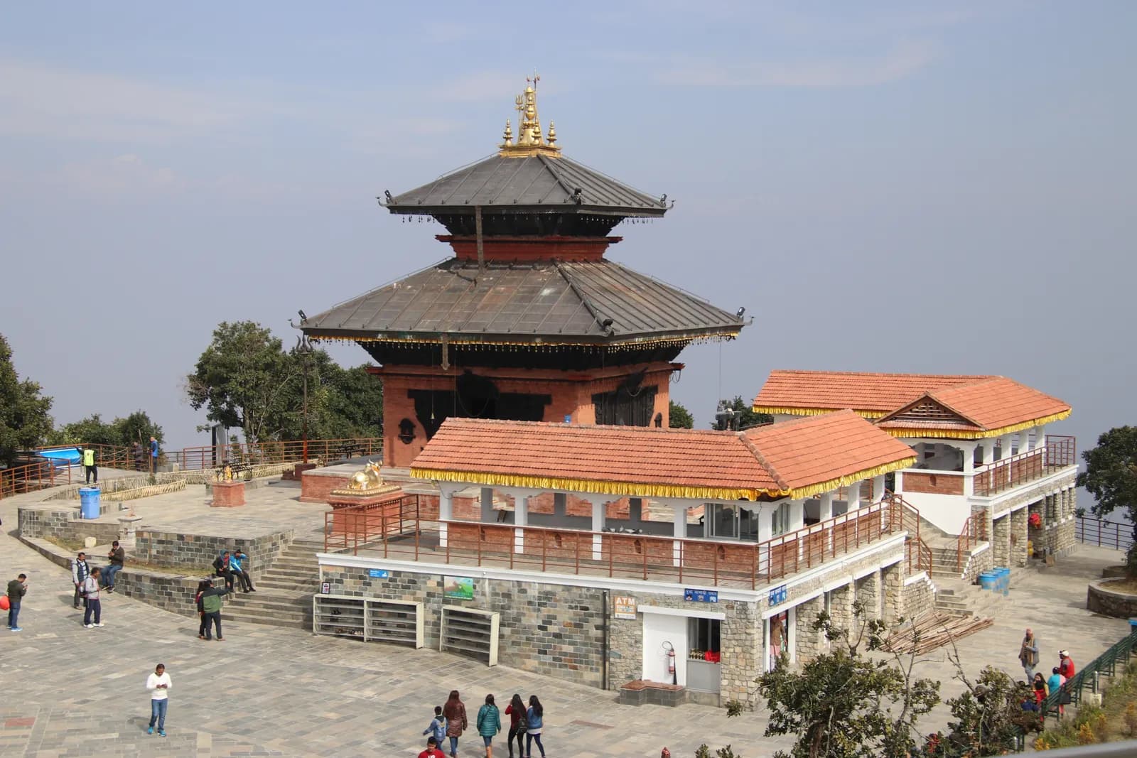
Chandragiri Hills Day Hike 草稿
12,551 公尺4 公里
中等逐日行程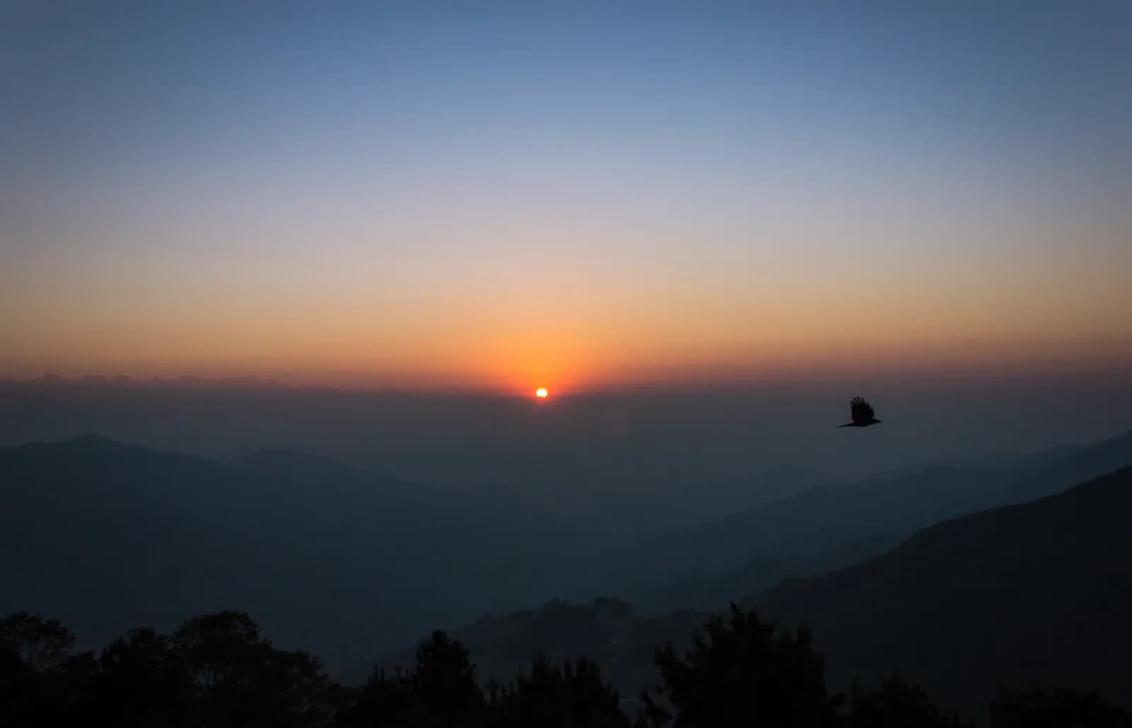
Chisapani Nagarkot Trek 草稿
32,175 公尺42.1 公里
easy-moderate逐日行程
| 路線 | |||||
|---|---|---|---|---|---|
| Shivapuri Peak Day Hike | 1 | 2,732 公尺 | 中等 | 12.2 公里 | NPR 4,000起 |
| Nagarkot to Changu Narayan Day Hike | 1 | 2,175 公尺 | 簡單 | 11.7 公里 | NPR 4,000起 |
| Champadevi Day Hike | 1 | 2,285 公尺 | 中等 | 11.2 公里 | NPR 4,000起 |
| Phulchowki Day Hike | 1 | 2,782 公尺 | 中等 | 13.1 公里 | NPR 4,000起 |
| Namo Buddha Day Hike | 1 | 1,750 公尺 | 簡單 | 18.8 公里 | NPR 4,000起 |
| Nagarjun Jamacho Day Hike | 1 | 2,128 公尺 | 簡單 | 6.2 公里 | NPR 4,000起 |
| Chandragiri Hills Day Hike | 1 | 2,551 公尺 | 中等 | 4 公里 | NPR 4,000起 |
| Chisapani Nagarkot Trek | 3 | 2,175 公尺 | easy-moderate | 42.1 公里 | NPR 12,000起 |
費用為估計值:以該地區經濟型每日費率乘以天數,不含機票與許可。
最佳健行時間
標示的月份為建議的健行季節。 Oct–Nov · Mar–Apr
最佳季節其他月份
Live conditions
Notes entered by our team from the sources linked on each item. Conditions change quickly, so confirm with your guide or lodge before you set off.
Best seasons: Oct–Nov · Mar–Apr
Nothing recent on file. Check with your guide or lodge before you go.
入山許可與費用
費用以每人計算,依國籍類別而定。
| 許可證 | 外國人 | SAARC | 尼泊爾人 |
|---|---|---|---|
Shivapuri Nagarjun National Park entry permit | NPR 1,000 | NPR 600 | — |
- 購買地點
Department of National Parks and Wildlife Conservation
每日費用
茶屋健行的每人每日費用。嚮導按每團每天、挑夫按每位每天計算。 截至 2026年10月。
| 風格 | 每天 | 嚮導/天 | 挑夫/天 | 範例總計 |
|---|---|---|---|---|
| 經濟 | NPR 2,900–4,800 | NPR 5,000 | NPR 2,750 | NPR 4,200–6,800 |
| 中等 | NPR 4,100–6,500 | NPR 5,000 | NPR 2,750 | NPR 5,800–9,400 |
| 舒適 | NPR 5,500–8,400 | NPR 5,000 | NPR 2,750 | NPR 8,000–12,400 |
經濟: Sundarijal is about 15 km from Kathmandu (30 to 60 minutes by taxi); Budhanilkantha is reached by micro-bus. No fixed taxi fare is published in our sources, so transfers are shown as lines to check.
中等: Sundarijal is about 15 km from Kathmandu (30 to 60 minutes by taxi); Budhanilkantha is reached by micro-bus. No fixed taxi fare is published in our sources, so transfers are shown as lines to check.
舒適: Sundarijal is about 15 km from Kathmandu (30 to 60 minutes by taxi); Budhanilkantha is reached by micro-bus. No fixed taxi fare is published in our sources, so transfers are shown as lines to check.
規定與良好習慣
嚮導
- 所有地區
Foreign trekkers must trek with a licensed guide in national parks and conservation areas (in force since April 2023). Enforcement varies by region, so verify the current rule before you go.
入山許可
- 所有地區
Carry your permits at all times; they are checked at several checkpoints along every route.
安全與高海拔
- 所有地區
Buy travel insurance that covers helicopter rescue to at least 6,000 m.
- 所有地區
Climb high, sleep low: above 3,000 m, avoid raising your sleeping altitude by more than about 500 m per day, and add rest days.
環境保育
- 所有地區
Carry out all non-burnable waste (batteries, plastic, wrappers) and use a refillable water bottle.
文化
- 所有地區
Respect monasteries: walk clockwise around stupas and mani walls, and remove shoes where asked.
- 所有地區
Ask before photographing people, especially at religious sites and ceremonies.
空拍機
- 所有地區
No drones without prior permission from the relevant authority.
照片
常見問題
The three-day Chisapani to Nagarkot ridge trek and the one-day Shivapuri Peak hike. Both start by road within an hour of the city and need no flight or restricted-area permit.
The Shivapuri Nagarjun National Park entry permit, NPR 1,000 per person for foreigners and NPR 600 for SAARC nationals, applies to Shivapuri Peak and to the Chisapani trail, which enters the park at Sundarijal. Children under 10 enter free.
The valley floor is at about 1,300 m. Shivapuri Peak is 2,732 m, Nagarkot about 2,195 m on Wikipedia, and Chisapani about 2,100 to 2,300 m on operator pages, so altitude is not a concern.
October to November and March to April. The monsoon brings cloud and leeches, and December to February is cold but often very clear after a dry night.
Wikipedia says eight of Nepal's thirteen Himalayan ranges are visible from Nagarkot, including the Everest and Langtang ranges, on a clear day. The view is best in the first hour after sunrise.
Yes. The trails are marked and busy at weekends, but forest roads cross them in places and mist can hide the way, so carry a map and start early.
Nepal's ninth national park, established in 2002 and covering 159 square kilometres. It protects the catchment that supplies Kathmandu with water, and Wikipedia lists 318 bird species and leopards, bears and langurs among its wildlife.
開放行程
關於 Kathmandu Valley 的指南
 封面照片: Vyacheslav Argenberg, CC BY 4.0
 封面照片: Sundar1, CC BY-SA 3.0
 封面照片: Saddam Hussain Ansari, CC BY 4.0
 封面照片: AceVisionNepal77, CC BY-SA 4.0
 封面照片: Jean-Marie Hullot from France, CC BY 2.0
 封面照片: Kondephy, CC BY-SA 4.0
資料來源
準備好健行Kathmandu Valley了嗎?
為這些日期尋找健行夥伴,或開始規劃你自己的路線。