Lower Mustang and the Kali Gandaki: Muktinath, Marpha and the gorge
A guide to the Kali Gandaki valley south of the Upper Mustang border: Kagbeni, Muktinath, Jomsom, Marpha, Tukuche and the gorge to Tatopani, with the winds, flights, permits and what to see.
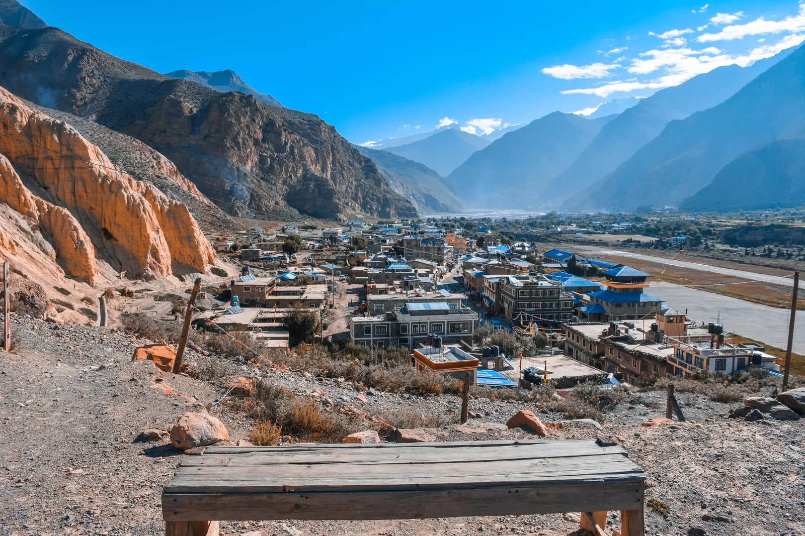
Lower Mustang is the open stretch of the Kali Gandaki valley that runs from Kagbeni and Muktinath south through Jomsom, Marpha and Tukuche to the deep gorge near Lete and on to Tatopani. It is the second half of the Annapurna Circuit, needs only the Annapurna Conservation Area permit (NPR 3,000 for foreigners as of October 2026) and has strong afternoon winds, a morning-only airstrip at Jomsom and some of the best lodges and food in the region. Upper Mustang, the restricted area, starts at Kagbeni.
This guide is about the valley as a destination in its own right, whether you walk it at the end of the Circuit, fly into Jomsom for a short trip or use it as the approach to Upper Mustang.
Annapurna Circuit Trek的開放行程
由正在尋找夥伴的健行者發布的真實行程。
The valley from north to south
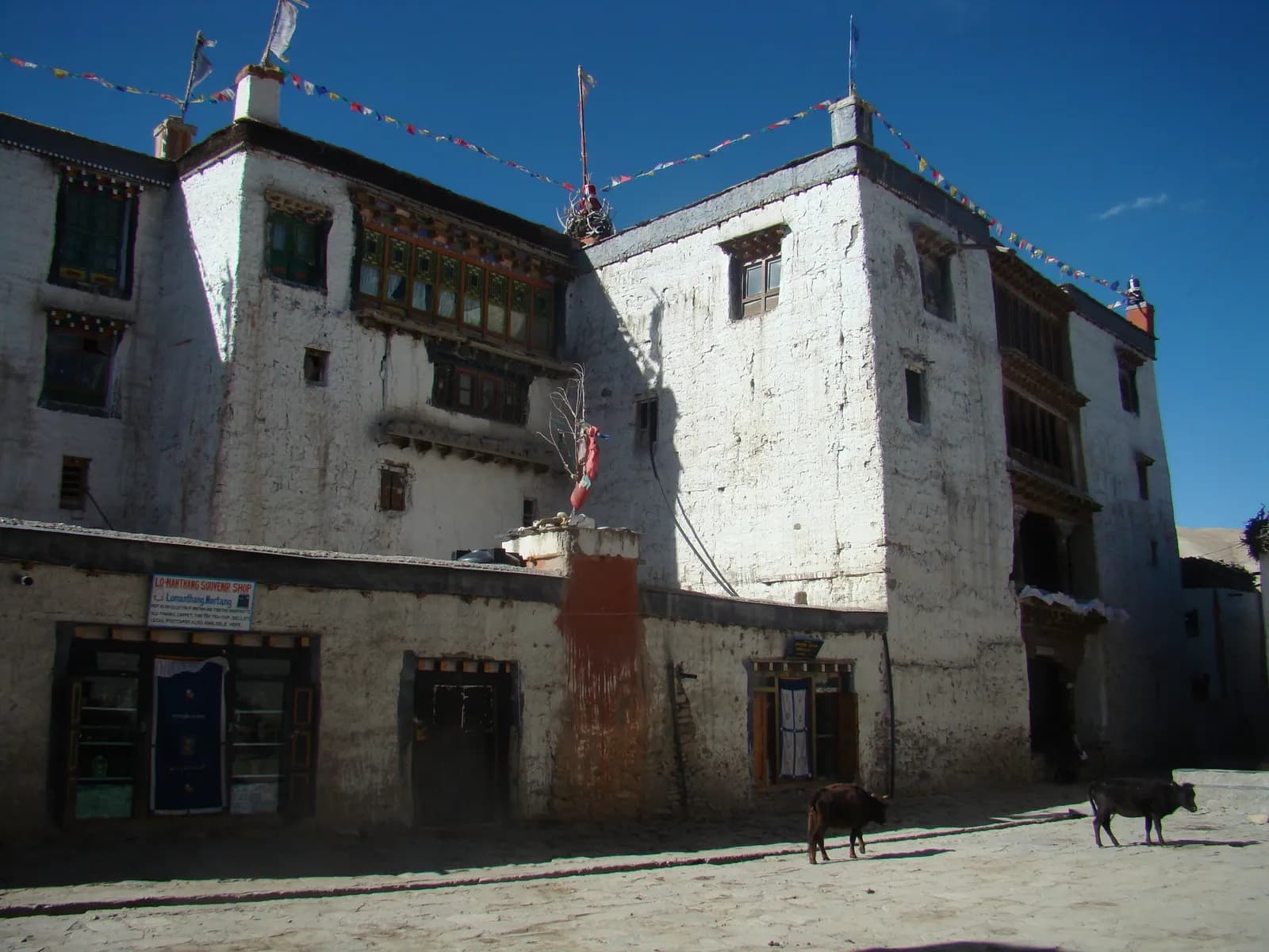
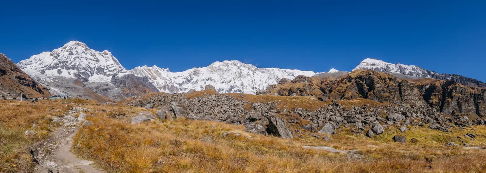
The Kali Gandaki rises on the Tibetan border and flows south through the old kingdom of Mustang. It cuts through a deep canyon south of Lo Manthang, widens near Kagbeni, then runs past Jomsom, Marpha and Tukuche to the deepest part of the gorge about 7 km south of Tukuche, near Lete. Below that it broadens past Dana and Tatopani toward Beni. The upper part of the gorge is also called Thak Khola after the Thakali people, who prospered from trans-Himalayan trade.
| Stop | Altitude | What it is for |
|---|---|---|
| Kagbeni | 2,810 m | Gateway to Upper Mustang, a Tibetan-influenced village |
| Muktinath | 3,800 m | Pilgrimage site at the foot of Thorong La |
| Jomsom | 2,720 m | District headquarters, airstrip |
| Marpha | 2,670 m | Apple village, monastery, stone lanes |
| Kalopani | 2,530 m | Gorge walking, Annapurna Circuit stop |
| Tatopani | 1,190 m | Hot springs, low altitude |
The gorge and the wind
The river sits at about 2,520 m directly between Dhaulagiri (8,167 m) and Annapurna I (8,091 m), according to Wikipedia, which puts it 5,571 m below the summit of Annapurna I; some sources call it one of the deepest gorges in the world. The gorge has been a trade route between India and Tibet for centuries, and the region is known for shaligram fossils, black stones revered by Hindus as a form of Vishnu.
Every day from late morning a strong wind blows up the valley, caused by pressure differences between the Tibetan plateau and the lower reaches. The wind is why Jomsom flights leave early, why houses in Marpha are flat-roofed with central courtyards and why you should walk in the morning. Wikipedia notes that the wind prevents flights from taking off from Jomsom after 11 am. Wear a windproof layer, a hat and sunglasses, and expect dust.
Muktinath
Muktinath, at about 3,800 m, is an ancient temple at the foot of Thorong La, sacred to both Hindus and Buddhists. Hindus know it as the abode of Vishnu, Buddhists as Chumig Gyatsa, "Hundred Waters". The temple stands in a poplar grove, and its courtyard is enclosed by 108 spouts called the Mukti Dharas. On the Circuit plan you arrive on day 9 after the pass, so the first view of the temple is usually through tired eyes. Walk clockwise, dress modestly and take off your shoes where asked. Our monastery etiquette guide applies here too.
Jomsom and Marpha
Jomsom sits at about 2,700 m, with Dhaulagiri and Nilgiri behind it, and is the district headquarters, a place for administration, commerce and onward travel to Upper Mustang and Muktinath. Flights to Pokhara run from Jomsom Airport. As of October 2026 the regional cost data gives the Pokhara to Jomsom flight at about USD 120 to 200 each way. Read Pokhara to Jomsom: flight versus jeep before choosing.
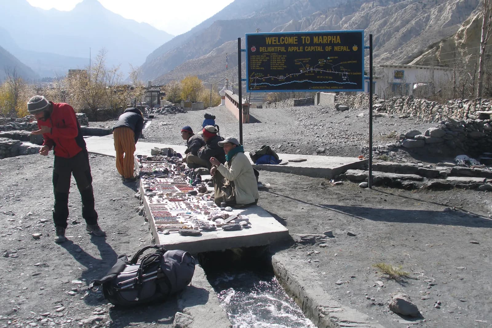
Marpha, about a two-hour walk south, is the better stop. It is a stone-lined village of Thakali people, the apple capital of the country, with brandy and jam made from local fruit, a Nyingma monastery above the village and a painted chorten on the cliff face. Houses are flat-roofed with central courtyards to resist the wind, and the village has an underground drainage system under its stone-flagged streets. It is a common overnight halt on the Circuit and less touristy than Jomsom. Tukuche, further south, is another Thakali centre with white-plastered wooden houses, a distillery and a museum.
From the gorge to Tatopani
Our Circuit plan walks from Jomsom to Kalopani (2,530 m) in five to six hours via Marpha, with an optional jeep, then drives from Kalopani to Tatopani (1,190 m) in about three hours down the gorge to the hot springs. The road has changed the character of this section, so ask your guide which stretches are worth walking. The drop to Tatopani takes you from dry, high country into warm, green valley within a day, and it is where most people finally take off their down jackets. Day 13 then climbs 7 to 8 hours from Tatopani to Ghorepani, which is hard on tired legs.
Permits and the guide rule
The Kali Gandaki valley is inside the Annapurna Conservation Area, so you need an entry permit: NPR 3,000 for foreigners as of October 2026, NPR 1,000 for SAARC nationals, children under 10 free; online payment adds 2.9 percent and check-post issue costs double. A TIMS card may be requested, and the Nepal Tourism Board lists it at NPR 2,000 for foreigners (SAARC nationals NPR 1,000), plus any agency service charge. The restricted area begins at Kagbeni; for Upper Mustang you need a separate permit through an agency, as explained in the Upper Mustang region guide.
On guides, a licensed guide through a registered agency is required in restricted areas, and under the Nepal Tourism Board rule of April 2023 in national parks and conservation areas, where 2026 operator reports say checkpoints enforce it in Annapurna and Langtang but not in Khumbu (checked 19 October 2026). See the guide rule by region.
Seasons
The valley is in the rain shadow, so the monsoon matters less here than on the south side, though landslides on the lower road and cloud over Pokhara can disrupt flights. October and November are the most popular months, with March to May the second window. Winter brings cold and snow on the high sections near Muktinath, while Jomsom stays walkable. Wind is a year-round feature, so plan mornings for walking. See monsoon trekking in Nepal: rain-shadow routes and best time for the Annapurna Circuit.
Food and lodges
This is the best-fed section of the Circuit. Marpha apples, apple pie and brandy are the headline, and Thakali set meals are known across Nepal. Lodges are plentiful and comfortable. As of October 2026 the Annapurna cost data gives a dal bhat of NPR 500 to 1,000 below 2,500 m and NPR 700 to 1,200 between 2,500 and 3,800 m, and a guide day of NPR 2,700 to 4,000 with a porter day of NPR 2,100 to 3,400, as operator market ranges, not official rates. Carry rupees, as machines in Jomsom can run out.
Fitting it into a plan
You can walk the valley as the end of the Annapurna Circuit, fly into Jomsom for a short stay with Muktinath and Marpha, or use it as the approach to Upper Mustang. The Dhaulagiri Circuit also ends at Marpha and Jomsom. If you are short of time, keep a spare day for the flight, because wind and cloud decide it. Our Annapurna region trekking guide shows how this valley fits among the other Annapurna options, and the Manang valley guide covers the other side of the pass.
Sharing and next steps
Post your dates on the Annapurna Circuit partner page if you want company for the jeep or guide costs, and see the Annapurna region page, the region guides category and Nepal's trekking regions for the wider map.
A short trip using Jomsom
If you have only five or six days, fly to Jomsom in the morning, walk or drive to Kagbeni and Muktinath, return to Marpha and fly out. The valley is short enough that a flight in and a flight out make a coherent trip, and the lodges are good. Keep two spare days, because the wind that makes the afternoons memorable also cancels flights. Muktinath sits at about 3,800 m, so sleep at Jomsom or Kagbeni first and take the climb on day two, which follows the same high-and-sleep-low logic as the bigger treks.
Reading the weather
Plan walking in the morning, and plan to be indoors by early afternoon. The wind usually peaks in the afternoon and carries dust, so a buff and glasses matter more than a heavy jacket. Cloud over the south side of the range can close the Pokhara end even when the north is clear, so ask your lodge or airline about the day's forecast, and do not leave the decision to the morning of your flight.