

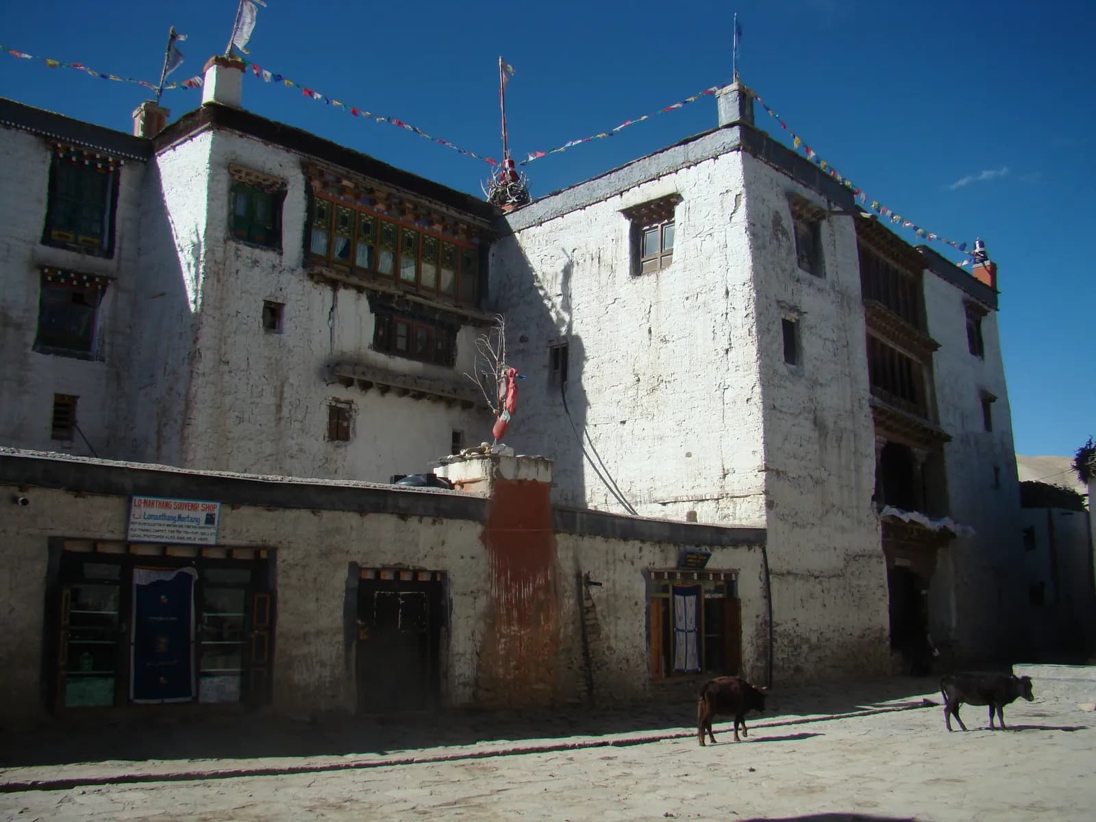
Upper Mustang
Upper Mustang is the former Kingdom of Lo: a high, dry rain-shadow landscape of red cliffs, cave dwellings and the walled city of Lo Manthang, open to foreigners only on a restricted-area permit.
- 最高海拔about 4,280 m (Marang La)
- 天數10–14
- 難度中等
- 最佳月份Mar–Nov
- 許可3 項許可
照片:Wimbex · CC BY-SA 3.0
Check that your policy covers helicopter evacuation and trekking at this region's altitude. We don't sell insurance.
What to look forWritten by FindTrekkingPartner team審閱者:FindTrekkingPartner team我們如何審閱FindTrekkingPartner
Upper Mustang是尼泊爾的健行地區,路線為 12 天,最高海拔達 4,280 公尺。外國健行者可以在 FindTrekkingPartner 發布行程,填入日期、預算與步調,為這裡的健行尋找夥伴。在雙方健行者都同意之前,配對結果會保持私密,且服務完全免費。 以中等價位計算,四位健行者共用時,持照嚮導 12 天的費用約為每人 105 美元(USD),一人獨自健行則為 421 美元(USD)。最佳季節為Mar–Nov。 這裡是受限地區,因此透過登記代理商聘請持照嚮導是許可證的一部分,整個團隊須使用同一份代理商許可證一起行動。 這條路線的開放行程列於下方,附有出發月份、團隊人數與剩餘名額。 最後查證日期:2026年10月19日。資料來源:尼泊爾旅遊局(Nepal Tourism Board)、DNPWC、移民局。
資料來源:Department of Immigration, NepalNepal Tourism BoardDepartment of National Parks and Wildlife Conservation
概覽
- 持照嚮導
- 外國健行者必須聘請
- 最少人數
- 1 位健行者
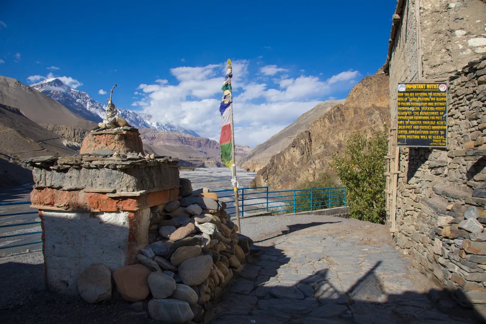
Restricted area (DoI). Restricted area: a Restricted Area Permit from the Department of Immigration through a registered agency, and a licensed guide at all times. Press reports say individual foreigners can apply since a March 2026 notice (previously a two-trekker minimum); confirm the current rule.
熱門路線
出發地點
Pokhara, Jomsom
交通方式
Fly Pokhara to Jomsom (about 20 minutes, mornings only) and walk or drive to Kagbeni, where the restricted area and permit days start. A road runs from Kagbeni to Lo Manthang. Keep a spare day for Jomsom flight delays.
Upper Mustang is the northern part of Mustang District in central Nepal, the former Kingdom of Lo, a dry trans-Himalayan landscape of red cliffs, wind-carved canyons, cave dwellings and Tibetan Buddhist monasteries. It was closed to foreigners until 1992 and still requires a restricted-area permit, arranged through a registered agency, and a licensed guide. The standard trek follows the Kali Gandaki north from Kagbeni to the walled city of Lo Manthang (3,840 m) and returns by a different route past Ghar Gompa. Because it lies in the rain shadow of the Annapurna and Dhaulagiri ranges, it is one of the few Nepal treks that works in the monsoon. Allow 12 days from Pokhara, with flights to and from Jomsom, and good wind clothing. It suits cultural travellers and photographers, but the permit rules, the afternoon wind and the Jomsom flights all need planning well in advance.
Overview
Upper Mustang covers Lo-Ghekar Damodarkunda and Lo Manthang rural municipalities. The region has a cool, semi-arid climate with roughly 250 to 400 mm of precipitation a year, because the Himalaya shelter it from the monsoon. The Kali Gandaki runs through it and, south of Kagbeni, forms the Kali Gandaki gorge, often described as one of the deepest in the world. Wind is a defining feature: it rises almost every afternoon and shapes the trekking day, so you start early and arrive by early afternoon.
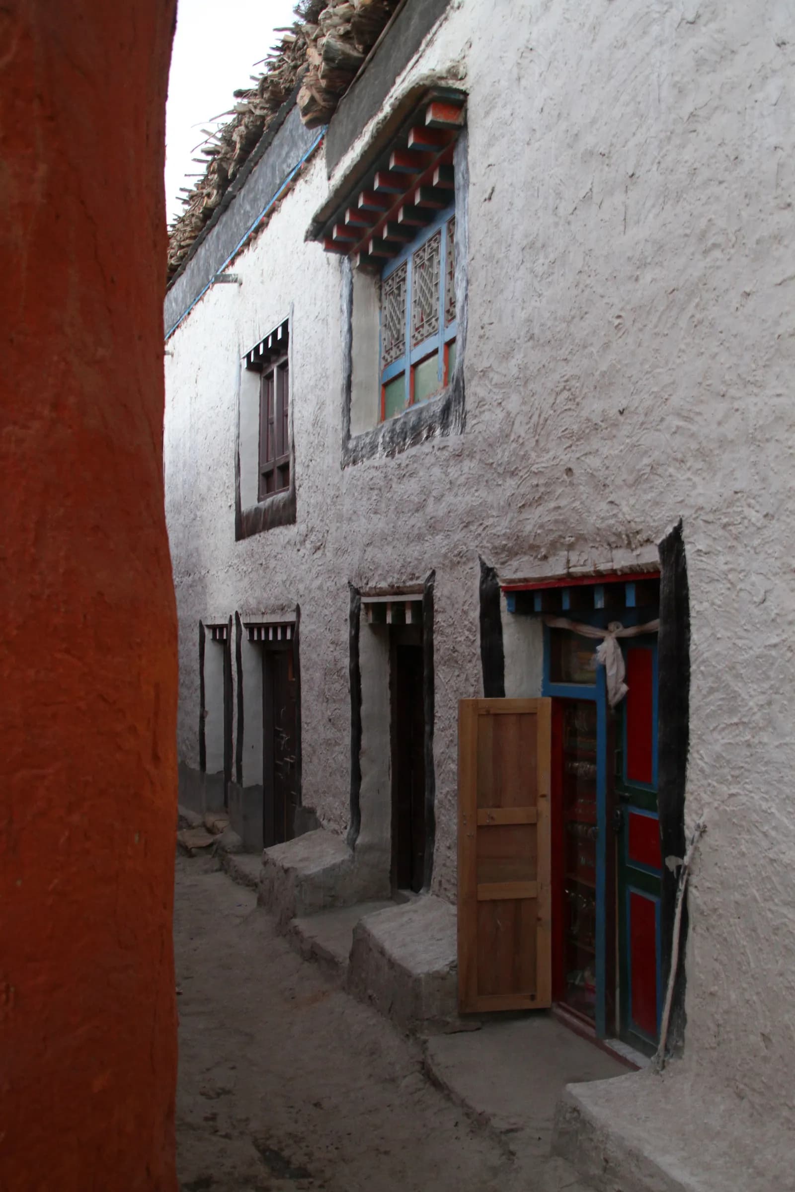
Lo Manthang was founded in 1380 by Ame Pal, and its walled city, with a five-storey palace built around 1400, three great monasteries (Jampa Lhakhang, Thubchen and Chode) and mud-brick houses, is the cultural highlight. The monarchy was formally abolished in 2008. The people are Tibetan-speaking Loba, and most villages have a monastery, mani walls and chortens. The Tiji festival, held in Lo Manthang in spring, is one of the best-known Buddhist festivals in the region.
Best time to trek, month by month
- March: cold nights and strong winds; some lodges are still closed early in the month.
- April: the season opens in earnest. Mild days and clear skies, though the wind picks up in the afternoon.
- May: warm days, with the Tiji festival in Lo Manthang usually in this period. Dates follow the Tibetan calendar and change every year, so check before you book.
- June to August: monsoon in the south, but Upper Mustang stays largely dry. The desert colours are at their best, though flights to and from Jomsom can be disrupted by cloud in the south.
- September: clear, stable weather as the monsoon ends; a good month.
- October: the most popular month, with clear skies and mild days. Lodges are busy.
- November: cold nights and strong winds, with clear days. The trek is quieter, and some lodges begin to close late in the month.
- December to February: very cold, with heavy snow possible; most lodges are closed and the trek is not recommended.
Routes compared
| Trek | Typical days | Highest point | Character |
|---|---|---|---|
| Upper Mustang | 12 | about 4,280 m (Marang La) | Restricted-area loop through the old Kingdom of Lo |
You can extend the trek with a jeep for some sections, because a road now runs from Kagbeni to Lo Manthang and the Chinese border. The jeep ride shortens the trek, but the footpaths are far nicer. Some itineraries use the road for the outbound leg and walk back, or vice versa.
Permits and rules
Upper Mustang is a restricted area, so you need a Restricted Area Permit issued by the Department of Immigration of Nepal through a registered trekking agency, plus an Annapurna Conservation Area entry permit. Several sources quote the RAP at USD 500 for the first ten days and USD 50 per extra day; Wikipedia gives the same figures, but check the current amount with the Department of Immigration or your agency, because the rules for permit days and fees have changed.
Solo trekking and guides. Since 22 March 2026 one trekker can apply for a restricted-area permit, so a group of two is no longer needed, and a partner halves the guide cost. The application still goes through a registered agency, and that a licensed guide must accompany you throughout. I could not confirm the official wording, so check with the Department of Immigration or your agency before you book.
Getting there
Most trekkers fly from Pokhara to Jomsom (about 20 minutes, mornings only because of the wind), then walk or drive to Kagbeni, where the restricted area begins. Flights are often delayed or cancelled by wind or cloud, so keep a spare day. The alternative is a long jeep ride from Pokhara via Beni and Tatopani, which takes a day or more. Jomsom is about 50 km from Lo Manthang by the unpaved road.
Altitude and acclimatisation
Kagbeni is at 2,810 m and Lo Manthang is at 3,840 m. The trek stays between about 2,700 m and 4,300 m, so altitude is less of an issue than on Everest or Annapurna routes, but you gain height quickly if you jeep part of the way. Take a rest day at Lo Manthang, drink plenty of fluids and be willing to descend if you feel unwell. The long passes between Ghami and Lo Manthang and on the return via Ghar Gompa reach about 4,200 m.
Lodges, costs and food
Lodges in Kagbeni, Chele, Syangboche, Ghami, Tsarang and Lo Manthang are simple, with stove-heated dining rooms. Menus include dal bhat, noodles and Tibetan-style bread, and the apples of the Kali Gandaki are a treat. Prices are higher than in lowland Nepal because of the distance. Carry cash; there are limited machines in Jomsom, none beyond Kagbeni.
Connectivity
Mobile coverage exists in Jomsom, Kagbeni and Lo Manthang, with patchy signal elsewhere. Lodges may sell Wi-Fi by the day, and power depends on solar. Carry a power bank and a paper map.
Safety
- Afternoon winds are strong and cold. Start walking early and wear a windproof layer, a hat and sunglasses.
- Dust and glare are intense; bring sunscreen, lip balm and eye protection.
- Rockfall can occur on cliff paths and caves; keep a safe distance from steep slopes.
- Jomsom flights can be cancelled at short notice; keep a spare day and travel insurance that covers delays.
- Respect the monasteries: do not photograph inside without permission, walk clockwise around chortens and mani walls, and ask before photographing local people.
What to pack
Windproof jacket and trousers, warm layers, down jacket for nights, sun hat, sunglasses with side protection, strong sunscreen and lip balm, a buff or scarf for dust, waterproof boots, trekking poles, headlamp, water purification, a sleeping bag rated to about -10 C and a first-aid kit. Bring passport copies and photos for the permit.
Culture and history
Mustang's culture is Tibetan Buddhist, and the Loba people speak a Tibetan dialect. The Kingdom of Lo was founded in the 14th century and long controlled the trade in salt and wool between Tibet and the Himalayan south. The monarchy was formally abolished in 2008. The monasteries of Lo Manthang, including Jampa Lhakhang and Thubchen, hold some of the finest Tibetan Buddhist wall paintings in Nepal, and restoration work has been going on for years with international help.
Walk clockwise around chortens and mani walls, remove your shoes in monasteries, and do not photograph the wall paintings unless you have permission. Dress modestly in towns and monasteries, and ask before photographing people.
Caves and landscapes
The cliffs of Upper Mustang are riddled with caves, many of which were used as dwellings, meditation retreats or burial places. The Chhoser caves near Lo Manthang are a cluster of dwellings in the cliff, and a 2007 discovery of 55 cave paintings depicting the Buddha's life drew attention to the Mustang caves. Colours range from ochre to rust-red, and the light changes through the day, so photographers should walk at dawn and in the late afternoon.
Responsible trekking
Water is scarce in Mustang, and the wind is relentless. Take only what you need, reuse your water bottle, and avoid wasting water for washing. Carry out your rubbish and do not leave plastic on the plateau. The restricted-area permit funds local development, and you should hire local guides and porters and buy local products. Respect the sacred sites and do not take anything from caves or monasteries.
Using the road
A road now runs from Kagbeni to Lo Manthang and the Chinese border, and jeeps are common. Some trekkers use jeeps for the first and last days, or on parts of the route, to save time. The footpaths are more pleasant and are well worth walking, but the road can be useful if you are short of time, the weather is bad or you are unwell. Ask your agency which stretches are on foot and which by vehicle.
Money, insurance and logistics
Because the permit is arranged through an agency, the agency usually handles flights, transport, guide and lodging. Carry rupees and small notes. Insurance should cover trekking to 4,500 m and helicopter evacuation. Jomsom flights are the biggest source of delays, so keep a spare day at each end and avoid booking an international flight close to your return.
The Tiji festival
Tiji is a multi-day Buddhist festival held in Lo Manthang in spring, with masked dances performed by monks of the Chode monastery in the courtyard of the palace square. It retells the story of a deity who defeats a demon to save the kingdom from drought, and it draws many local people and visitors. Dates follow the Tibetan lunar calendar and change every year, usually falling in May. If you want to see it, book lodging and permits well in advance and ask your agency to confirm the exact dates.
Food and lodging
Upper Mustang menus include dal bhat, thukpa (noodle soup), Tibetan bread, momos, fried potatoes and tea with butter or sugar. Apples and dried fruit from the Kali Gandaki are sold in many villages, and Marpha brandy is a local drink. Lodges in Lo Manthang range from simple to quite comfortable, and some have hot showers; elsewhere rooms are basic with shared toilets. Carry a warm sleeping bag, because nights are cold at 3,500 m and above.
Photography and the light
Upper Mustang is a photographer's landscape. The cliffs turn from ochre to deep red as the sun moves, the villages stand out in whitewash against brown hills, and the blue sky is often cloudless. Shoot in the early morning and late afternoon, use a polarising filter to cut glare, and protect your gear from dust and wind with a cover and a lens cloth. Always ask permission before photographing people, and never photograph monastery interiors or wall paintings unless the monks say you may.
此地區的所有路線
我們在此涵蓋的所有標準路線。點選路線即可開啟其逐日行程。
比較路線
依長度、高度、難度或估計費用排序路線,找到適合你的那一條。
依天數 ↑排序
| 路線 | |||||
|---|---|---|---|---|---|
| Upper Mustang Trek (Lo Manthang) | 12 | 4,280 公尺 | 中等 | 141 公里 | NPR 49,000起 |
費用為估計值:以該地區經濟型每日費率乘以天數,不含機票與許可。
最佳健行時間
標示的月份為建議的健行季節。 Mar–Nov
最佳季節其他月份
Live conditions
Notes entered by our team from the sources linked on each item. Conditions change quickly, so confirm with your guide or lodge before you set off.
Best seasons: Mar–Nov
Nothing recent on file. Check with your guide or lodge before you go.
入山許可與費用
費用以每人計算,依國籍類別而定。
| 許可證 | 外國人 | SAARC | 尼泊爾人 |
|---|---|---|---|
Upper Mustang Restricted Area Permit | 每天 USD 50 | 請向旅行社確認 | 不需要 |
Annapurna Conservation Area Permit (ACAP) | NPR 3,000 | NPR 1,000 | NPR 100 |
TIMS card (trekking agency issued) | NPR 2,000 | NPR 1,000 | — |
- 購買地點
Only through a registered trekking agency
Nepal Tourism Board offices in Kathmandu and Pokhara
Nepal Tourism Board offices in Kathmandu (Bhrikutipath) and Pokhara
Trekking agency / Nepal Tourism Board
- 所需文件
Passport copy, 2 passport photos (or digital), travel insurance details, itinerary
每日費用
茶屋健行的每人每日費用。嚮導按每團每天、挑夫按每位每天計算。 截至 2026年10月。
Upper Mustang Trek (Lo Manthang)的典型總費用,2 位健行者分攤
- 經濟
- US$1,200–US$1,600
- 中等
- US$1,400–US$1,900
- 舒適
- US$1,600–US$2,200
| 風格 | 每天 | 嚮導/天 | 挑夫/天 | 範例總計 |
|---|---|---|---|---|
| 經濟 | NPR 2,900–4,800 | NPR 4,700 | NPR 2,750 | NPR 69,500–111,800 |
| 中等 | NPR 4,100–6,500 | NPR 4,700 | NPR 2,750 | NPR 82,700–130,800 |
| 舒適 | NPR 5,500–8,400 | NPR 4,700 | NPR 2,750 | NPR 98,400–152,000 |
經濟: Pokhara to Jomsom flight about USD 120 to 200 each way, or a long jeep drive (not priced). The restricted-area permit is USD 50 per day.
中等: Pokhara to Jomsom flight about USD 120 to 200 each way, or a long jeep drive (not priced). The restricted-area permit is USD 50 per day.
舒適: Pokhara to Jomsom flight about USD 120 to 200 each way, or a long jeep drive (not priced). The restricted-area permit is USD 50 per day.
規定與良好習慣
嚮導
- 所有地區
Foreign trekkers must trek with a licensed guide in national parks and conservation areas (in force since April 2023). Enforcement varies by region, so verify the current rule before you go.
入山許可
- Upper Mustang
Restricted area: a minimum of 2 trekkers plus a licensed guide arranged through a registered agency.
- Upper Mustang
Restricted Area Permit days are counted from your entry at Kagbeni.
- 所有地區
Carry your permits at all times; they are checked at several checkpoints along every route.
安全與高海拔
- Upper Mustang
Strong afternoon winds are normal; start walking early and carry a windproof layer and sun protection.
- 所有地區
Buy travel insurance that covers helicopter rescue to at least 6,000 m.
- 所有地區
Climb high, sleep low: above 3,000 m, avoid raising your sleeping altitude by more than about 500 m per day, and add rest days.
環境保育
- 所有地區
Carry out all non-burnable waste (batteries, plastic, wrappers) and use a refillable water bottle.
文化
- 所有地區
Respect monasteries: walk clockwise around stupas and mani walls, and remove shoes where asked.
- 所有地區
Ask before photographing people, especially at religious sites and ceremonies.
空拍機
- 所有地區
No drones without prior permission from the relevant authority.
照片
常見問題
Yes. A Restricted Area Permit from the Department of Immigration, issued through a registered agency, plus an Annapurna Conservation Area permit. Check current fees and day limits with the agency.
No. A licensed guide is required, and reports say individual foreigners can apply since March 2026 but only through an agency. Confirm the current rule before you book.
Twelve days from Pokhara on this plan, with flights to and from Jomsom. Shorter itineraries use jeeps for some sections.
April to October is possible, with September and October the most popular. The region is in the rain shadow, so the monsoon matters less than elsewhere.
About 3,840 m. The highest pass on the trek, the Marang La, is about 4,280 m.
Yes, an unpaved road runs from Kagbeni to Lo Manthang and on to the Chinese border. Many trekkers use it for part of the trip.
A multi-day Buddhist festival held at Lo Manthang in spring, based on the Tibetan calendar. Dates change each year.
Strong afternoon winds and cloud limit flights to the morning, and cancellations are common. Keep a spare day.
開放行程
關於 Upper Mustang 的指南
 封面照片: Gerd Eichmann, CC BY-SA 4.0
 封面照片: Jmhullot, CC BY 3.0
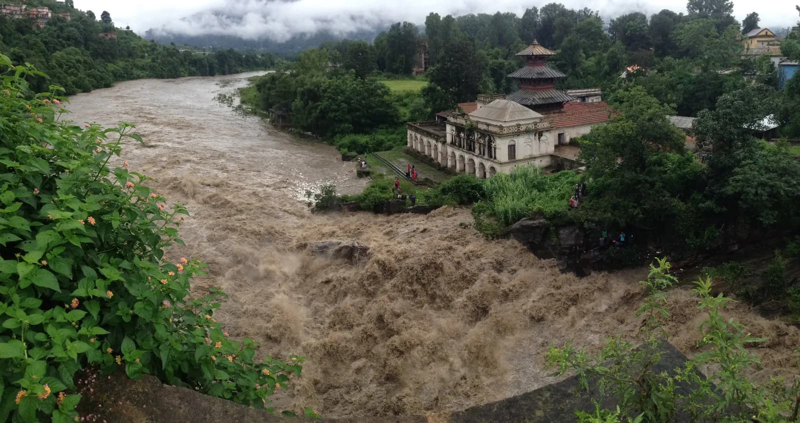 封面照片: Bhuwan Maharjan, CC BY-SA 4.0
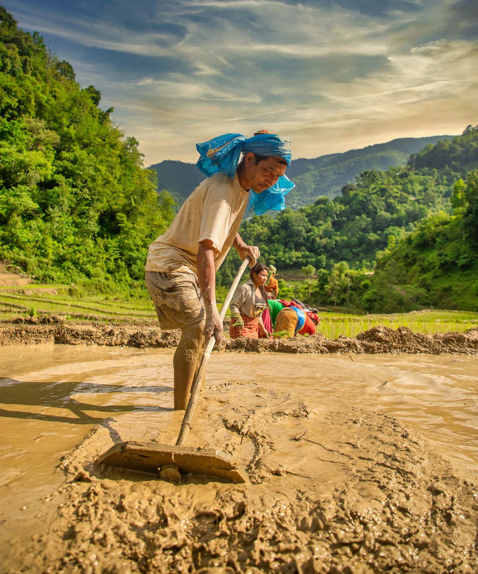 封面照片: Mithunkunwar9, CC BY-SA 4.0
 封面照片: McKay Savage from London, UK, CC BY 2.0
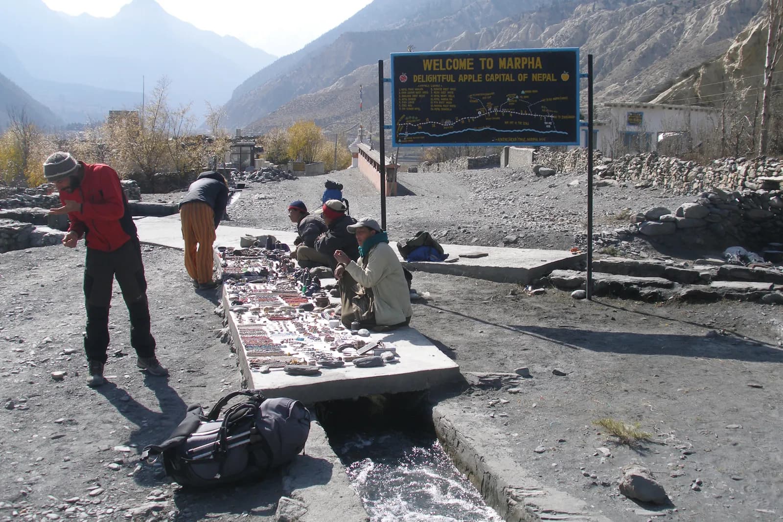 封面照片: Vyacheslav Argenberg, CC BY 4.0
資料來源
- Upper Mustang (Wikipedia)
- Lo Manthang (Wikipedia)
- Department of Immigration, Nepal
- Restrictions on trekking for foreigners in controlled areas of 13 districts (Kantipur, 6 May 2026)
- Nepal Tourism Board
- Kagbeni (Wikipedia)
- Mustang District (Wikipedia)
- Jomsom Airport (Wikipedia)
- OpenStreetMap (elevation tags of passes, peaks and villages)
準備好健行Upper Mustang了嗎?
為這些日期尋找健行夥伴,或開始規劃你自己的路線。