Trekking in Nepal in August
August is the monsoon peak. This guide covers where trekking still works (the rain-shadow north), what Janai Purnima does to Gosaikunda and Panch Pokhari, the landslide and flight risks, and who should wait for September.
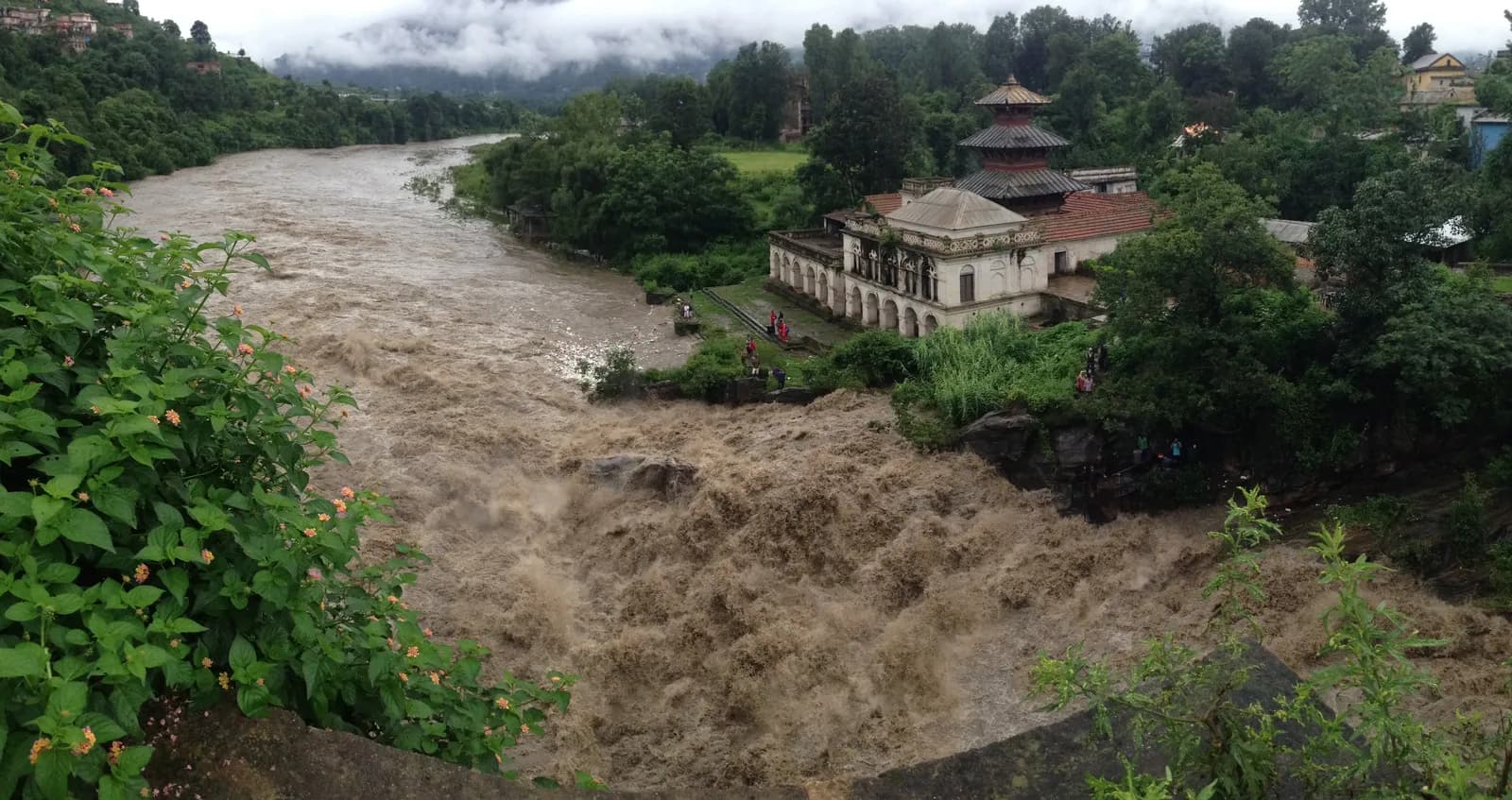
August is the peak of the Nepal monsoon, and most treks are a poor idea. The wet south and east are rainy, cloudy and leech-prone, with landslides on the roads, while Upper Mustang stays largely dry and Dolpo's plateau is drier than most of Nepal, so those two are the realistic choices, with flights as their weak point. The one reason many people walk in August is the full-moon festival of Janai Purnima, which draws pilgrims to Gosaikunda, Panch Pokhari and Dudh Kunda.
This guide explains what August does to the trails, which routes still work, how the festival changes lodging, the safety rules for the wet and who should wait for September. It is based on our region and route pages, checked on 19 October 2026. For the broader picture see monsoon trekking in Nepal and rain-shadow routes, and for the shoulder months, June and September.
Chuyến đi đang mở tại Upper Mustang Trek (Lo Manthang)
Các chuyến đi thật do người trekking đăng để tìm bạn đồng hành.
What August is like
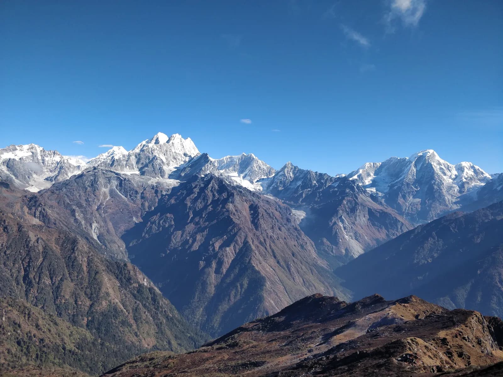
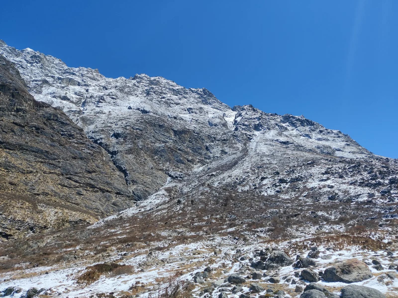
- Heavy rain and cloud in the south. Our region pages for Annapurna, Everest, Langtang, Makalu, Kanchenjunga and Rolwaling describe June to August as monsoon: heavy rain, leeches, landslides and views mostly lost in cloud.
- Slippery trails. Stone steps such as those at Ulleri are steep and slippery when wet, according to our Annapurna page.
- Long days, little light. On a flat horizon Kathmandu has about 13.2 hours of daylight in mid-August, with sunrise near 05:34 and sunset near 18:43 by our calculation, but heavy cloud means little of it is bright.
- Quiet trails. Few trekkers walk, so lodges are easy to book, apart from festival week.
- The monsoon starts to fade late in the month, and our region pages describe September as green and clearing, so the choice between the last week of August and early September can matter.
Routes that work in August
Upper Mustang
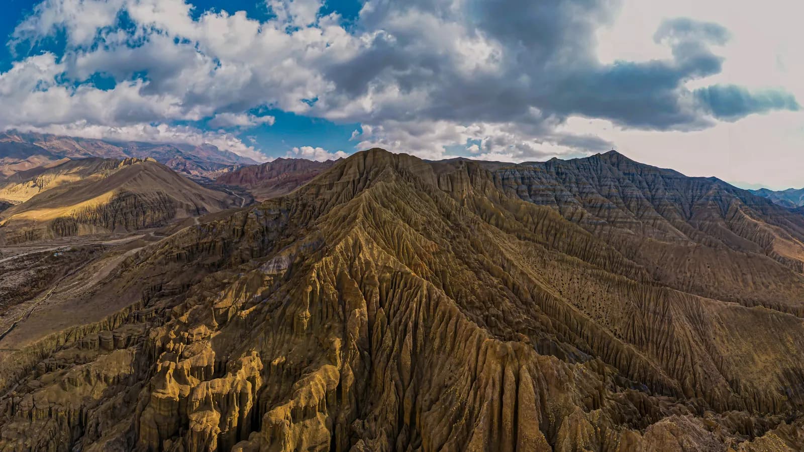
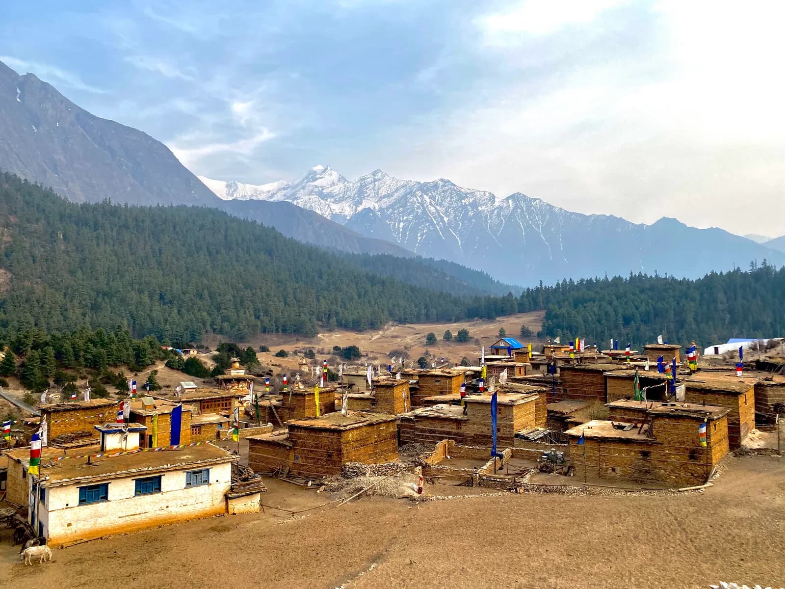
Our region page says Upper Mustang stays largely dry from June to August, with the desert colours at their best. The Upper Mustang route starts with a morning flight from Pokhara to Jomsom, which can be disrupted by cloud in the south, so keep a spare day at each end. It is a restricted area: a Restricted Area Permit from the Department of Immigration through a registered agency, the Annapurna Conservation Area permit and a licensed guide. As of October 2026 the restricted-area permit is USD 50 per person per day, per the Nepal Tourism Board. Our Upper Mustang cost breakdown and best time for Upper Mustang guide cover costs and season.
Dolpo
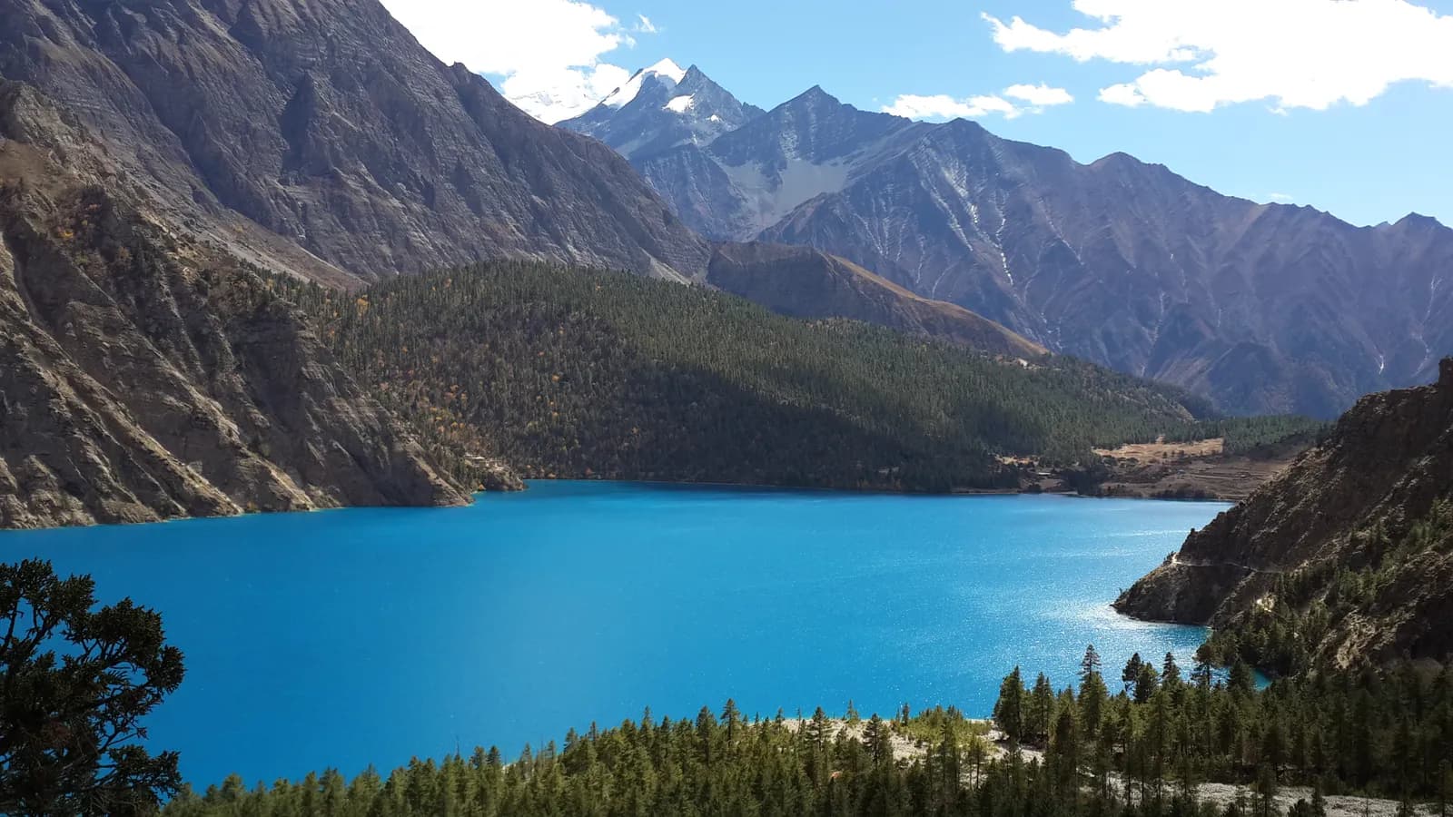
Our Dolpo region page says that in July and August the plateau is drier than most of Nepal because Dolpo lies in the rain shadow, but cloud over the plains and at Nepalgunj can stop flights, and the lower valleys can have landslides. The Phoksundo Lake route is 10 days, beginning with flights from Kathmandu through Nepalgunj to Juphal. The page rates May to June and September to October as the best seasons, so August is a compromise; our Dolpo access guide explains the flights. Evacuation relies on weather-dependent helicopters, so insurance must cover rescue above 5,000 m.
Gosaikunda during Janai Purnima
The Gosaikunda route is a six-day walk from Kathmandu via Dhunche to the lakes at 4,380 m, and our route page says that the monsoon brings rain and cloud but that thousands of pilgrims walk up at Janai Purnima in August, so expect crowds and book ahead. The ascent from Chandanbari to Gosaikunda is steep and exposed above Laurebina; our Langtang page says to turn back if there is snow or cloud. The road along the Trishuli is prone to landslides in the monsoon, so check it the day before. Respect the site: it is sacred, so do not swim, wash or leave rubbish in the lakes.
Panch Pokhari and Dudh Kunda
Our route pages say the lakes at Panch Pokhari are crowded with pilgrims at Janai Purnima in August, so book lodging early or avoid that week, and that pilgrims gather at Dudh Kunda in the August full-moon week. The Panch Pokhari trek is a five-day route reaching about 4,100 m, and our Jugal Himal page adds that in summer the trail is wet and leeches are common in the lower forest. If you want solitude, avoid the full moon.
Routes to avoid in August
| Route | Why August is difficult |
|---|---|
| Poon Hill, Annapurna Sanctuary, Mardi Himal | Wet, leech-prone, cloudy; slippery steps |
| Everest Base Camp, Gokyo, Three Passes | Lukla flights cancelled often; wet trails; views mostly cloud |
| Langtang Valley, Helambu | Heavy rain, leeches, Trishuli road landslides |
| Manaslu and Tsum Valley | Heavy rain, landslides on the lower trail and cloud |
| Makalu, Kanchenjunga, Rolwaling | Our region pages call June to August not recommended |
| Humla and Limi | Monsoon brings landslides on the lower trail and cancels flights |
| Khaptad and Api-Saipal | Mid-summer is wet and landslides cut the roads |
The monsoon safety rules
Landslides and roads. Several of our region pages warn that landslides cut roads in the monsoon, for Annapurna, Langtang, Kanchenjunga and Api-Saipal. Check road reports the day before each leg, leave early so you pass slide-prone stretches in daylight, and keep spare days. The buffer days guide explains how many to hold.
Streams. Swollen streams are the other hazard. Do not cross a rising stream; wait for it to drop, and ask your guide.
Leeches. Our Makalu page advises carrying salt or repellent and wearing gaiters in the wet months. Check your socks at every stop.
Flights. Lukla flights are cancelled often in the monsoon, Jomsom flights can be disrupted by cloud in the south, and Juphal and Simikot flights are weather dependent. See the mountain weather and flight delays guide.
Insurance. Check that your policy covers delays and helicopter evacuation to the altitude you will reach, because rescue relies on weather that the monsoon makes unreliable.
Permits and costs
Park and conservation area permits do not change with the season: as of October 2026 the ACAP permit is NPR 3,000 for foreigners, with online payment adding a 2.9% gateway charge and a permit issued at a check post costing double, and the Langtang National Park permit is NPR 3,000. Restricted-area permits for Manaslu, Tsum Valley and Nar Phu are cheaper from December to August than from September to November, but those regions are not good choices in the wet. The big costs, guide, flights and transport, do not fall in the monsoon. Our daily budget guide shows how to budget, and the permits page keeps the table.
The guide rule
The guide rule does not change with the weather. In restricted areas a licensed guide through a registered agency is part of the permit; individual trekkers have been able to apply since 22 March 2026, but a guide is still required. For national parks and conservation areas, the Nepal Tourism Board rule of April 2023 requires a licensed guide, which 2026 operator reports say checkpoints enforce in Annapurna and Langtang but not in Khumbu (checked 19 October 2026). In the monsoon a guide is also your source of local information on roads and rivers. See the guide rule explainer.
A note on timing the end of the month
Because the monsoon fades through September, the last days of August and the first days of September can feel very different from the middle of August. Our region pages describe September as green, with trails drying out and the air clearing toward the end of the month, so a trek planned for the final week of August carries slightly better odds than one in the first. That is a pattern, not a promise: monsoon retreat varies from year to year, and flights and roads can still fail. If your dates are flexible, shifting a week later is usually the cheapest improvement you can make.
Who should go in August
August suits experienced, flexible walkers who choose a rain-shadow route, hold spare days and accept cancellations. It does not suit anyone on a tight schedule, first-time trekkers or those who want mountain views from a wet-zone route. If your dates are fixed, consider waiting for the end of the month or September; our best time to trek in Nepal guide shows the whole year. To share a guide on a dry-side route, see the Upper Mustang partner page, and browse the Upper Mustang, Dolpo, Langtang and Jugal Himal regions. All our seasonal guides are in the seasons and weather hub.
Lên kế hoạch cho chuyến trek này
- Hướng dẫn vùng Langtang
- Hướng dẫn vùng Upper Mustang
- Hướng dẫn vùng Dolpo
- Hướng dẫn vùng Jugal Himal
- Trekking partner for Upper Mustang Trek (Lo Manthang)
- Trekking partner for Phoksundo Lake Trek (Lower Dolpo)
- Trekking partner for Gosaikunda Lake Trek
- Trekking partner for Panch Pokhari Trek
- Lịch trình Upper Mustang Trek (Lo Manthang)
- Lịch trình Phoksundo Lake Trek (Lower Dolpo)
- Lịch trình Gosaikunda Lake Trek
- Lịch trình Panch Pokhari Trek