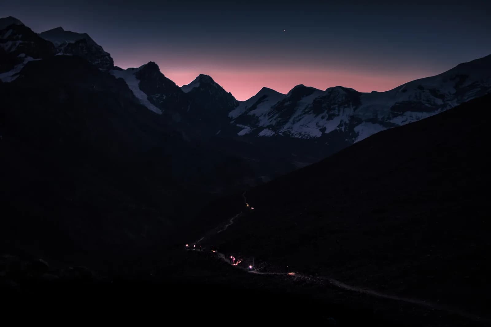
Checking trail status after landslides and snow in Nepal
Who to ask whether a trail or pass is open in Nepal: local administration and checkposts, the weather agency, the tourism board, news, lodges and agencies, with the autumn 2026 Thorong La closure as a worked example.
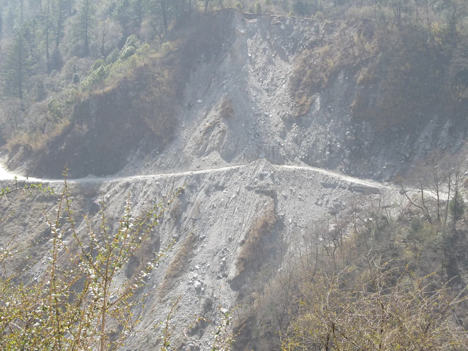
There is no single official dashboard that tells you whether every Nepal trail is open, so the reliable method is to combine three layers: a forecast from the national weather agency, the local administration and park checkposts that actually close or open routes, and people who walked it yesterday, such as lodge owners, guides and other trekkers. In late September 2026 the local administration suspended trekking in high-altitude areas of Upper Manang, including Tilicho and Thorong La Pass, for three days after snow and rain, and on 8 October 2026 ekantipur reported the Thorong La route operating again after snow was cleared. The Nepal Tourism Board homepage we read on 25 October 2026 lists a Travel Alert and a Safety in the Mountains page but no route-by-route list. This guide shows who to ask, in what order, and what to do on the trail. It is dated as of October 2026 and conditions change daily.
Chuyến đi đang mở tại Annapurna Circuit Trek
Các chuyến đi thật do người trekking đăng để tìm bạn đồng hành.
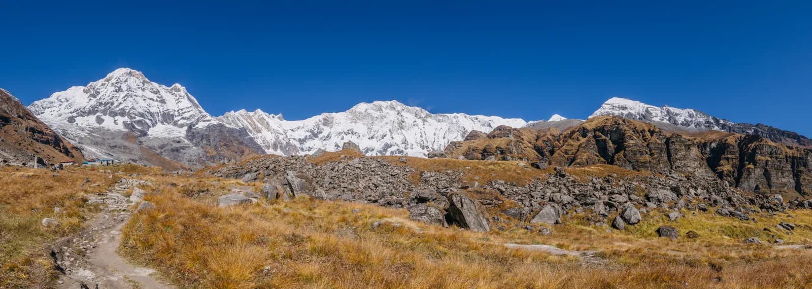
What happened on Thorong La in autumn 2026?
It is a useful case. Ekantipur reported on 25 September 2026 that the local administration had suspended trekking in Upper Manang, including Tilicho and Thorong La, for three days, citing continuing snow and rain. The Himalayan Times reported on 12 October 2026 that heavy rain and snowfall from 24 to 27 September blocked roads and trekking routes, according to the official who oversees the Annapurna Conservation Area Project centre, and that arrivals fell to one or two tourists a day between 8 and 11 October before reaching about 150 to 200 a day at the Dharapani information centre. On 8 October ekantipur described the route resuming after about two weeks of closure from snowfall and landslides. The reports differ in how they describe the closure: a three-day order, a blocked period from 24 to 27 September, and a "two weeks" headline. The sensible reading is that an official suspension, snow on the pass and damaged roads and trails are separate things that ended at different times. That is why one source is never enough. Route guides for the Annapurna Circuit and Everest Base Camp list the passes and altitudes involved. For general pass conditions see snow and high pass conditions on Thorong La and Cho La.
Which sources should you check, in order?
1. People on the ground, today. Your lodge owner, the ACAP checkpost or tourist information centre on your route, and your guide. They know about slides and snow before any website does, and the Himalayan Times quote above came from the ACAP centre itself. Our post on permit checkpoints explains where you will meet staff.
2. Local administration and park offices. Suspensions such as the Upper Manang order come from the local administration. We found no central list of these orders, so ask at the checkpost, the municipality office or your hotel. Park and conservation offices are in the guides for Sagarmatha, Langtang and Annapurna.
3. The Nepal Tourism Board. The homepage we read on 25 October 2026 shows a Travel Alert link, a Safety in the Mountains page and the permit and TIMS pages. It is useful for official notices and rules, but we did not find route status there.
4. The weather agency. Nepal's Department of Hydrology and Meteorology publishes forecasts and climate summaries; our group-departures post cites its monsoon 2025 summary. We could not reach dhm.gov.np on 25 October 2026 (the connection was refused), so we cannot tell you what the site shows today; try it yourself and compare it with a global model. See mountain weather forecasts and Lukla flight delays.
5. Local news. Nepali outlets report closures and reopenings quickly, as the ekantipur and Himalayan Times articles show. Check the date on every article; many search results are from earlier years.
6. Your agency and your embassy. A registered agency has people on the route; the UK Foreign Office also publishes notes on floods and landslides. Treat embassy pages as general warnings, not trail status.
What are the seasonal risks?
According to the UK Foreign Office page we read on 25 October 2026, the monsoon runs roughly June to October and brings floods and landslides that can cut roads for days; above 3,000 m it lists storms, avalanches and altitude sickness. Early snow can arrive before the season is over, as in September 2026. Read landslides and flooded rivers, trekking in Nepal in October and trekking in Nepal in November, then the best time to trek in Nepal. If your route crosses a pass, build in the buffer days described in buffer days and itinerary flexibility.
What should you do on the trail?
- Ask every morning. Check with the lodge before you leave and again at the last village before a pass or a slide-prone section.
- Do not cross fresh slides or flooded rivers alone. Wait for locals to cross first, and read yaks, mules and bridges for bridge rules.
- Start early. Weather turns in the afternoon; see when to turn back: weather and health rules.
- Keep the turn-back rule agreed in advance. Do not let sunk cost push you on; cold health on high passes explains the stakes.
- Know your options. If a trail is shut, a flight, a jeep or a different route may exist; see trail navigation and getting lost safely and helicopter charters as trailhead shortcuts.
- Tell people. Message your insurer and family if your plan changes, and keep the numbers from rescue and emergency numbers.
How can a trekking partner help?
Two people make a better information network than one: one asks the lodge, the other checks the news, and you compare. A partner also helps with the hardest decision, which is to turn back. Agree the rule at the start and write it down; our guides on what to agree before you book and what to do if your partner cannot continue cover it. If you need a partner this week, see open trips and the Nepal trek departures page.
How do you read a closure report?
Ask four questions of any report, whether it is a news story, a lodge message or a Facebook post. First, what is the date? A story from last year ranks well in search and means nothing now. Second, who is the source: an administration order, a named official, a lodge owner or an anonymous poster? Third, what exactly is closed: the pass, the trail, the road to the trailhead, or the flights? The Himalayan Times piece on the Annapurna Circuit, for example, separates blocked roads from the state of the pass. Fourth, what is the reporter's own interest? Agencies and hotel associations want you to book or to stay, which can colour both optimistic and pessimistic messages. When two sources disagree, believe the one closest to the trail and the most recent, and ask a second person. If you cannot get a clear answer, assume the trail is not safe to cross until someone local says it is, and use the delay for a rest day at lower altitude, which also helps acclimatisation.
What about roads and flights to the trailhead?
Many closures are on the road, not the trail. The UK Foreign Office says monsoon floods and landslides can cut roads for days and advises avoiding night travel and overcrowded buses; our posts on road and jeep safety and shared jeep, private jeep or bus cover the options. Keep a spare day before an international flight, and ask your driver or agency about the road the morning you travel.
Where sources conflict or are silent
- The three ekantipur and Himalayan Times descriptions of the Thorong La closure (three days, 24 to 27 September, about two weeks) do not give one closure window.
- We found no single official list of trail or pass status, and we could not load the Department of Hydrology and Meteorology site on 25 October 2026.
- We did not verify any hotel-association or agency status pages, because they are run by businesses with a booking interest.
- One search result mentioned work to open the route to Tilicho Lake, but we could not date it, so we do not state Tilicho's status.
Before you set out
Check the forecast, ask on the ground, and send your plan to someone at home. The Nepal trek logistics checklist covers the full routine, and the safety page explains how we handle contacts. Looking for company? Browse open trips or post a trip free; a partner is the best backup when the weather turns. We are not an agency and do not sell treks. Details change, so treat this page as a method, not a live status.
Lên kế hoạch cho chuyến trek này
Câu hỏi thường gặp
Nguồn
- ekantipur: Snowfall in Upper Manang halts trekking for three days (25 September 2026)
- ekantipur: The Annapurna Circuit trek reopens after two weeks (8 October 2026)
- The Himalayan Times: Annapurna Circuit sees tourist recovery after weather disruption (12 October 2026)
- UK Foreign Office: Nepal safety and security (read 25 October 2026)
- Nepal Tourism Board (homepage read 25 October 2026)
- Department of Hydrology and Meteorology, Nepal (not reachable on 25 October 2026)
- Himalayan Rescue Association