Upper Mustang itinerary, day by day
A 12-day Upper Mustang itinerary from Pokhara: the flight to Jomsom, the walk to Lo Manthang, the loop back past Ghar Gompa and how to protect the wind-sensitive flight days.
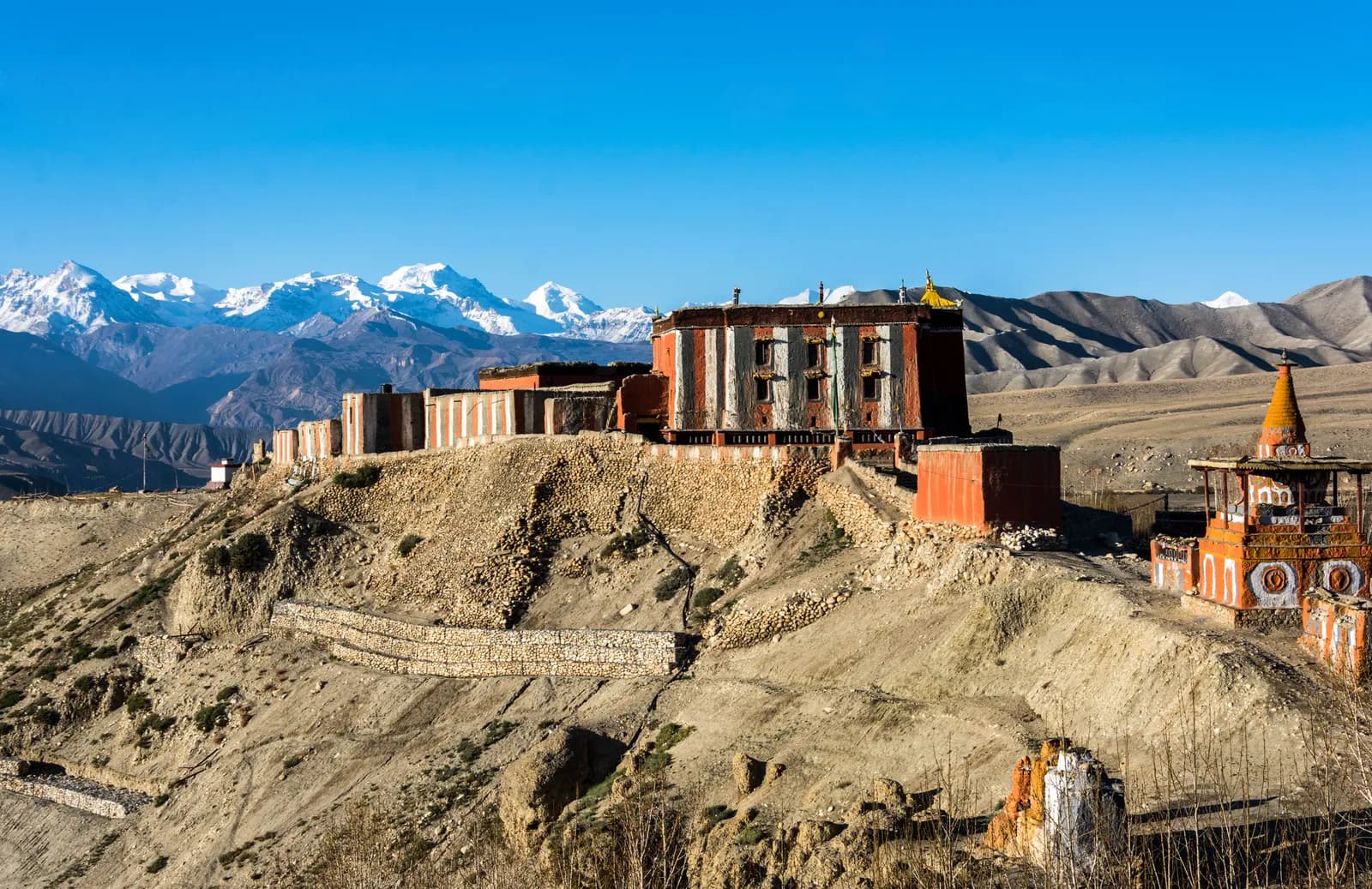
The Upper Mustang itinerary here takes 12 days from Pokhara: a 20-minute morning flight to Jomsom, a walk north through Kagbeni to the walled city of Lo Manthang (3,840 m), a rest day there and a return loop over the Marang La (about 4,280 m) past Ghar Gompa to Jomsom. Every sleeping altitude sits between about 2,700 and 3,850 m, so it is high but gentle, and it is one of the few Nepal treks that works in the monsoon because it lies in the rain shadow of the Annapurna and Dhaulagiri ranges.
The day-by-day plan below gives altitudes and hours, shows where the wind and the flights can disrupt you and explains the permit. The route data is on the Upper Mustang route page and the Upper Mustang region guide.
Upper Mustang Trek (Lo Manthang) का खुला ट्रिपहरू
साथी खोजिरहेका ट्रेकरहरूले पोस्ट गरेका वास्तविक ट्रिपहरू।
The 12 days at a glance
| Day | From - to | Time | Sleep |
|---|---|---|---|
| 1 | Pokhara - Jomsom (fly) - Kagbeni | 3-4 h walk | 2,810 m |
| 2 | Kagbeni - Chele | 5-6 h | 3,050 m |
| 3 | Chele - Syangboche | 6-7 h | 3,800 m |
| 4 | Syangboche - Ghami | 5-6 h | 3,520 m |
| 5 | Ghami - Tsarang | 4-5 h | 3,560 m |
| 6 | Tsarang - Lo Manthang | 4-5 h | 3,840 m |
| 7 | Lo Manthang (rest day) | 4-5 h | 3,840 m |
| 8 | Lo Manthang - Dhakmar via Ghar Gompa | 6-7 h | 3,820 m |
| 9 | Dhakmar - Ghiling | 5-6 h | 3,570 m |
| 10 | Ghiling - Chhusang | 6 h | 2,980 m |
| 11 | Chhusang - Jomsom | 6-7 h | 2,720 m |
| 12 | Jomsom - Pokhara (fly) | 20 min flight | 820 m |
Day 1: Pokhara to Kagbeni (2,810 m)
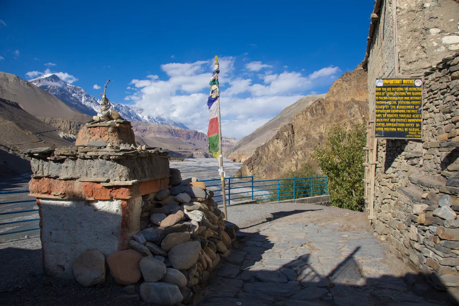
Fly early to Jomsom before the wind rises, passing Dhaulagiri and the Annapurnas. From Jomsom walk or drive north along the Kali Gandaki to Kagbeni, a medieval village of mud houses and a red monastery at the gateway to the old kingdom. Your Restricted Area Permit is checked here. Start early: the afternoon wind in this valley is strong.
Day 2: Kagbeni to Chele (3,050 m)
The trail passes Tangbe and Chhusang through a dry landscape of cliff villages and cave dwellings, climbing and dropping through gullies and across the riverbed. Chele is a small village above the river. Drink a lot of water, because the air is very dry.
Day 3: Chele to Syangboche (3,800 m)
The long exposed day crosses several passes, including the Yamda La and the Bhena La, between 3,600 and 3,800 m, through Samar and Bhena. Wear a windproof layer and sunglasses. This is the biggest sleeping altitude gain of the trek, about 750 m, so go slowly and expect a lighter appetite.
Day 4: Syangboche to Ghami (3,520 m)
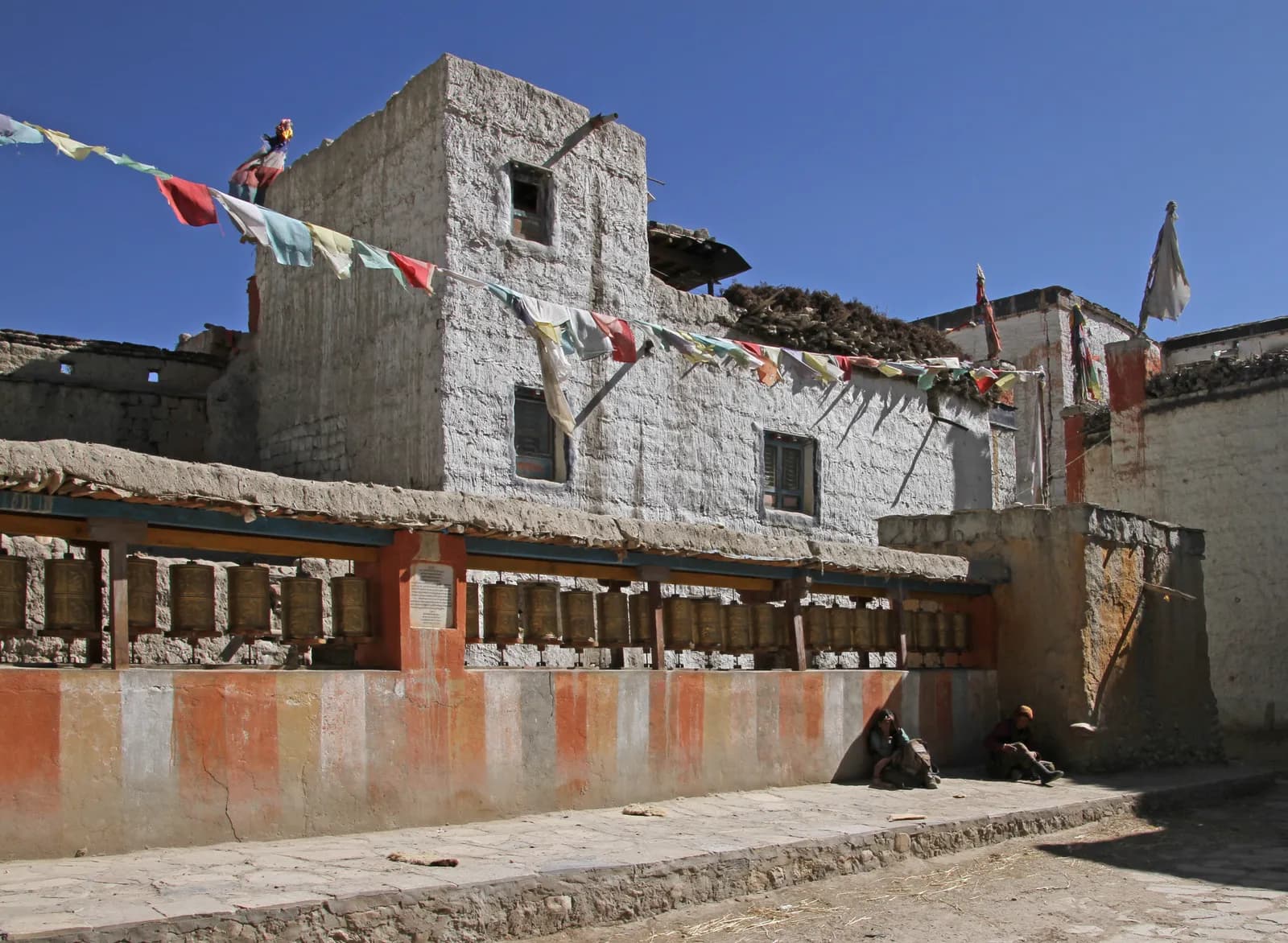
Cross the Nyi La (about 4,010 m) and descend into the Ghami valley, where a long mani wall, reputed to be the longest in Nepal, runs beside barley fields. Walk with the wall on your right as local people do. You sleep lower than the night before, which helps recovery.
Day 5: Ghami to Tsarang (3,560 m)
A short day across a wide valley to Tsarang, a large village with a fortress, a palace and the red Tsarang Gompa, which holds a collection of Buddhist texts. Ask permission before photographing inside.
Day 6: Tsarang to Lo Manthang (3,840 m)
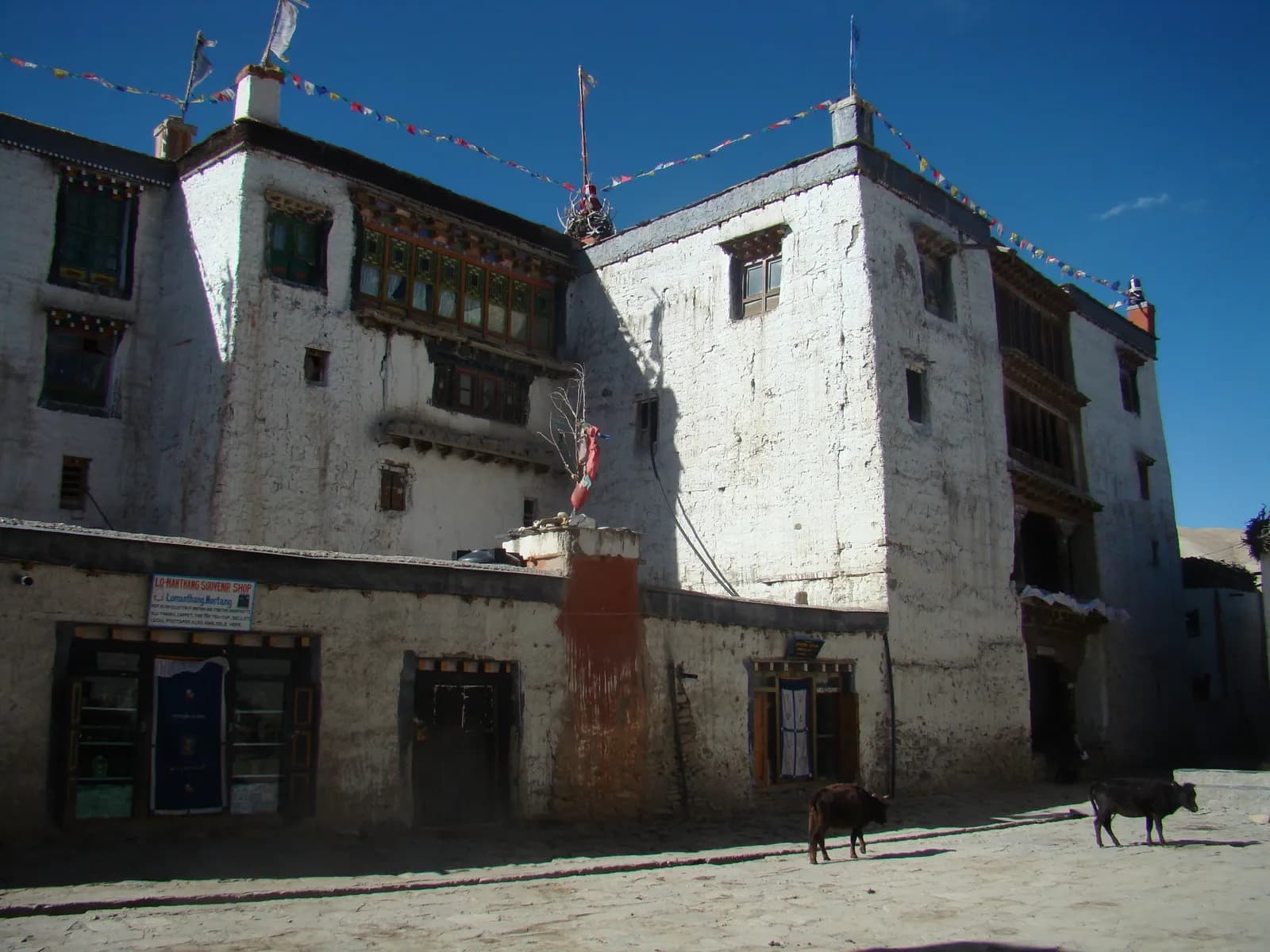
Climb over a pass of more than 4,000 m and across a high plateau. The walled city appears suddenly, with whitewashed walls and red-roofed monasteries. Lo Manthang, founded in 1380, has a five-storey palace built around 1400 and the monasteries of Jampa Lhakhang, Thubchen and Chode.
Day 7: rest day at Lo Manthang
Visit the monasteries, the palace and the lanes of the walled city. If you have the energy, walk or drive to the Chhoser caves north of the city, a cluster of cave dwellings with ancient paintings. Ask your guide about the Tiji festival dates if you want to see it, because accommodation fills quickly.
Day 8: Lo Manthang to Dhakmar (3,820 m)
Climb over the Marang La (about 4,280 m), the highest point of the trek, with sweeping views of the plateau and the Tibetan border, then drop to Ghar Gompa, an ancient monastery said to be one of the oldest in Nepal. Continue through a gorge to Dhakmar beneath towering red cliffs. It is a long six to seven hour day.
Days 9 to 11: the way back
Day 9 crosses a pass and follows a dry streambed to Ghiling (3,570 m), with a small monastery and a view of the Annapurnas. Day 10 drops along the Kali Gandaki to Chhusang (2,980 m), a village of cliffs and caves, where the warmer air is welcome. Day 11 passes Tangbe and Kagbeni, where you leave the restricted area, and reaches Jomsom (2,720 m).
Day 12: Jomsom to Pokhara
Take the morning flight to Pokhara. Flights leave early because wind builds by midday, and cancellations are common. If your flight is cancelled, a jeep to Pokhara takes most of a day.
Altitude on this route
Mustang rarely feels like a high-altitude trek because the nights are spent at 3,000 to 3,850 m, but the passes cross 4,000 m on days 3, 4, 6 and 8, and the wind and dry air tire people faster than the numbers suggest. The sleeping altitude rises sharply only once, on day 3, and the rest day at Lo Manthang comes after you have been above 3,500 m for four nights. Headache and poor sleep are the usual signs. Follow the rules in our altitude sickness basics: never go higher with symptoms, and descend if they get worse.
What to expect on the ground
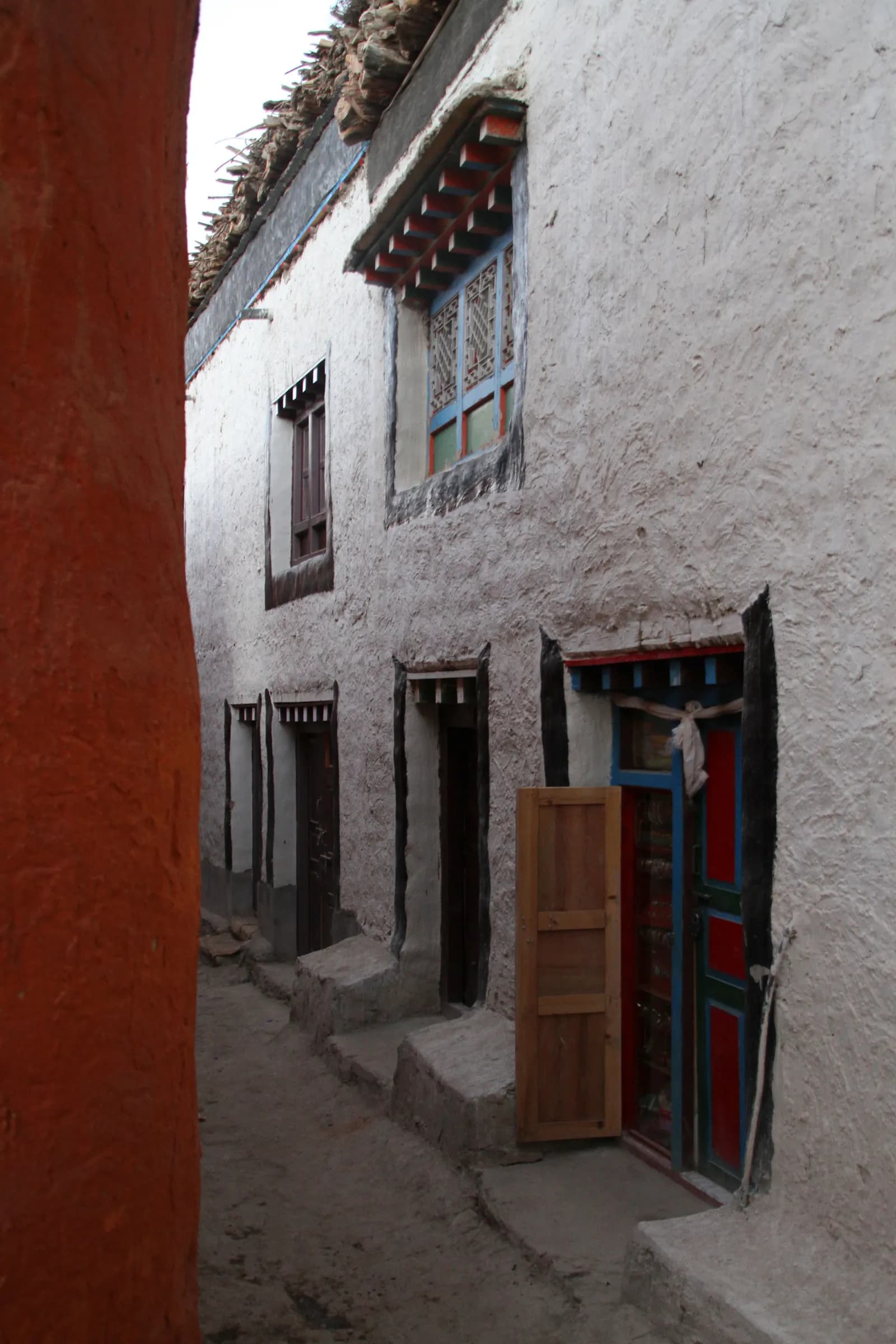
Lodges are simple and often built around a courtyard, meals are dal bhat, noodles and Tibetan bread, and the villages are small, so the options for resupply are limited. Bring a refill bottle and purification tablets, because bottled water adds up and creates plastic waste. The light is strong and the colours are the point of the trek: red cliffs, white chortens and ochre villages, best photographed early and late in the day. Be respectful in monasteries, move clockwise around chortens and mani walls and ask permission before photographing people or interiors.
Protecting the schedule
| Risk | How to plan |
|---|---|
| Flight cancelled on day 1 or 12 | Add a spare day at each end, and avoid tight international connections |
| Strong afternoon wind | Start walking early every day |
| Dust from road traffic | Choose footpaths where the guide recommends them |
| Dry air and sun | Water, lip balm, sun hat, sunscreen |
Permit and group planning
Upper Mustang requires a Restricted Area Permit arranged by a registered agency and a licensed guide. Because the agency cost is spread across the group, trekking with partners lowers your share a lot: see the guide rule explainer and the permits article, and how to find a partner. For the best months, read the best time to trek in Nepal, and compare other itineraries.