Langtang Valley itinerary, day by day
An 8-day Langtang Valley itinerary from Kathmandu with sleeping altitudes, the Kyanjin Ri rest-day hike, the 2015 earthquake context and options to add Tserko Ri or Gosaikunda.
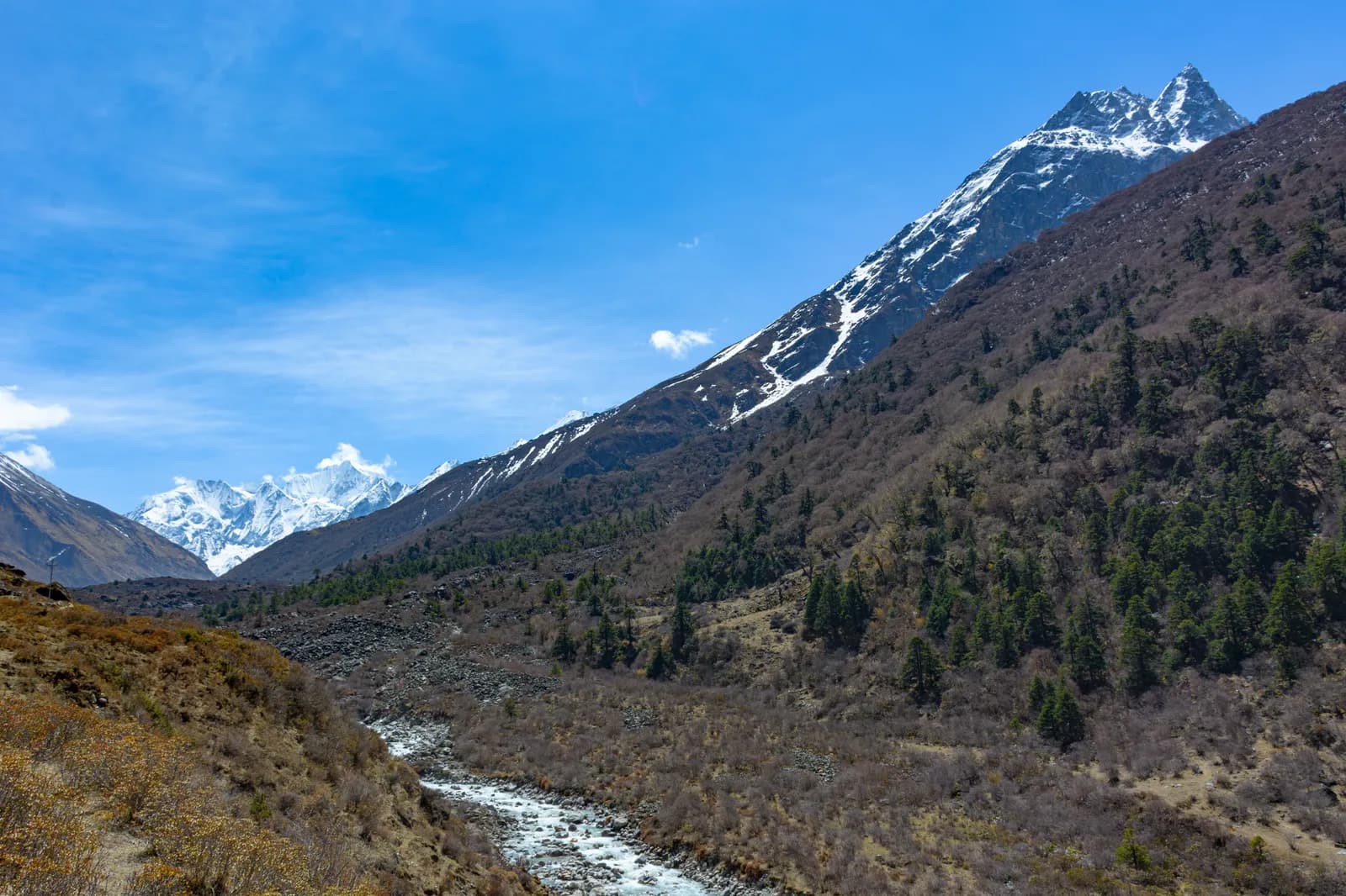
The Langtang Valley itinerary here takes eight days from Kathmandu: a seven to eight hour drive to Syabrubesi, three days walking up the Langtang Khola to Kyanjin Gompa (3,870 m), a rest day with the Kyanjin Ri hike (4,773 m) and two days back, finishing with the drive to Kathmandu. It is the closest high-mountain trek to the capital by road and needs no flight, which is why it works well as a first Himalayan trek or an alternative to the crowded Everest and Annapurna routes.
The day plan below lists sleeping altitudes and hours and explains where to add days. The full route data is on the Langtang Valley route page and the Langtang region guide.
Langtang Valley Trek का खुला ट्रिपहरू
साथी खोजिरहेका ट्रेकरहरूले पोस्ट गरेका वास्तविक ट्रिपहरू।
The 8 days at a glance
| Day | From - to | Time | Sleep |
|---|---|---|---|
| 1 | Kathmandu - Syabrubesi | 7-8 h drive | 1,460 m |
| 2 | Syabrubesi - Lama Hotel | 6 h | 2,470 m |
| 3 | Lama Hotel - Langtang village | 6 h | 3,430 m |
| 4 | Langtang - Kyanjin Gompa | 3 h | 3,870 m |
| 5 | Kyanjin Gompa (rest), Kyanjin Ri | 5 h | 3,870 m |
| 6 | Kyanjin - Lama Hotel | 6 h | 2,470 m |
| 7 | Lama Hotel - Syabrubesi | 5 h | 1,460 m |
| 8 | Syabrubesi - Kathmandu | 7-8 h drive | 1,400 m |
Day 1: Kathmandu to Syabrubesi (1,460 m)
The road runs through Trishuli and Dhunche on a winding route through terraced hills and forest. It can be rough, and landslides sometimes close it in the monsoon. Syabrubesi sits at the junction of the Langtang Khola and the Bhote Koshi, with lodges, shops and a permit checkpoint. Check your permits and sleep early.
Day 2: Syabrubesi to Lama Hotel (2,470 m)
Cross the river on a suspension bridge and follow the valley through oak, rhododendron and bamboo forest, past Bamboo and Rimche. The trail is shaded and damp, with waterfalls, langur monkeys and flowers in spring. It is a steady climb of about six hours and the sleeping altitude rises about 1,000 m, but you are still below the 3,000 m mark where the 500 m per night guideline starts to apply.
Day 3: Lama Hotel to Langtang village (3,430 m)
Climb out of the forest to Ghoratabela, where the valley opens, and follow the open valley floor with Langtang Lirung ahead, through Thangshyap and Mundu to Langtang village. This is a rebuilt Tamang village of stone houses and mani walls. The 2015 earthquake triggered an avalanche that destroyed the original village a short distance away, and a memorial marks the site. Visit it respectfully. The sleeping gain of about 960 m is your biggest, so go slowly.
Day 4: Langtang to Kyanjin Gompa (3,870 m)
A short day to keep acclimatisation sensible. Walk through Mundu and Singdum past chortens and mani walls to Kyanjin Gompa, which has a small monastery, a cheese factory and several lodges, with yak pastures and Langtang Lirung, Kimshung, Gangchempo and Naya Kanga on all sides. The sleeping rise is about 440 m.
Day 5: rest day and Kyanjin Ri (4,773 m)
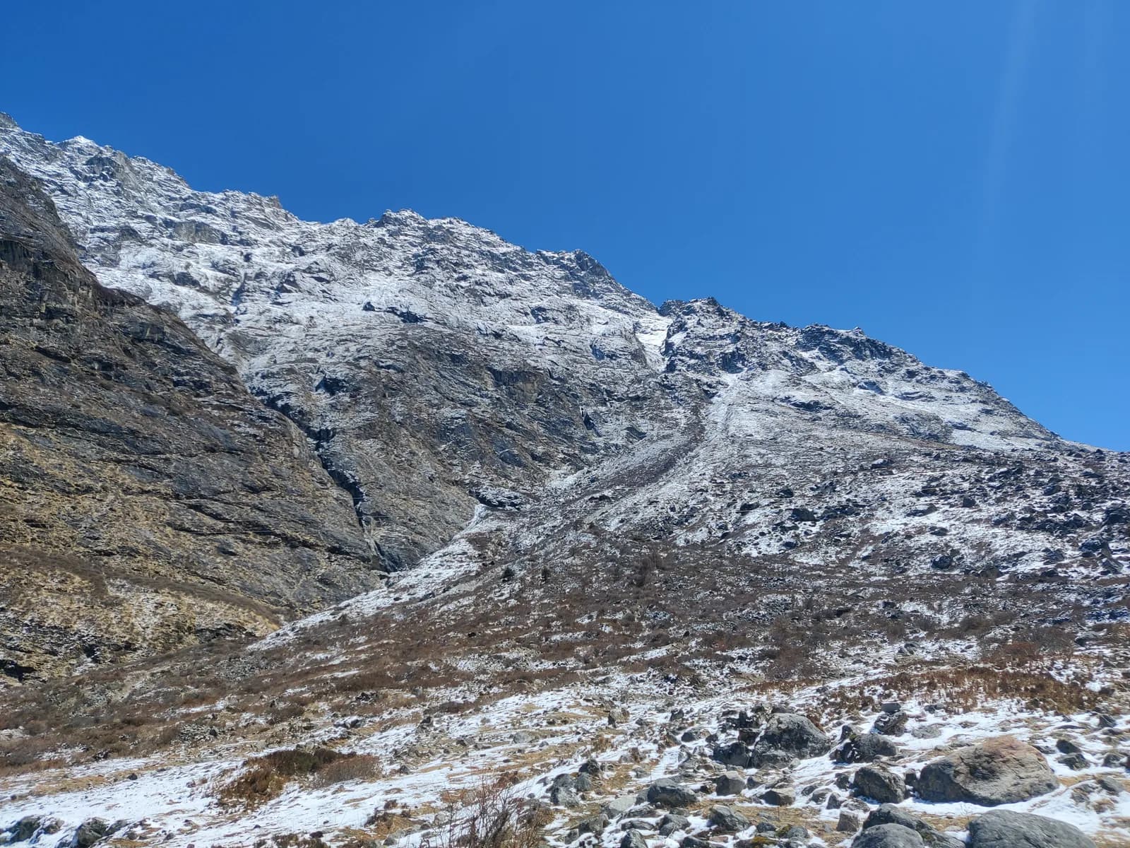
Climb Kyanjin Ri, a steep ridge, in two to three hours for the view of Langtang Lirung, Gangchempo and the glacier. Return to Kyanjin for breakfast and rest. If you feel strong you can walk to the glacier moraine in the afternoon. Tserko Ri at about 4,984 m is a harder alternative, only for those who are well acclimatised. Sleep again at 3,870 m.
Days 6 to 8: the way out
Day 6 descends through Langtang village and Mundu to Lama Hotel in about six hours, and most people sleep better in the thicker air. Day 7 follows the Langtang Khola downstream to Syabrubesi, about five hours. Day 8 is the long drive to Kathmandu. Start early to beat afternoon traffic and landslide delays.
The day that matters: day 3
Almost every trekker's acclimatisation story on this route is decided on day 3. You climb out of the forest, the valley floor opens up and the walking feels flat and easy, but you finish at 3,430 m after a sleeping gain close to 1,000 m. Treat the afternoon as a rest period: drink, eat, and do not add a side walk. If you wake with a headache that rest does not shift, spend the morning at Langtang village rather than moving on to Kyanjin. The short day 4 exists for exactly that reason, and the rest day at Kyanjin is a second chance to catch up.
What the stops are like
Lodges on this route are family-run and simple: a room with two beds, a shared washroom, a dining room with a stove in the evening and a menu of dal bhat, noodles, soups, pancakes and, at Kyanjin, local yak cheese from the cheese factory. Hot showers and phone charging are usually available for an extra charge at the lower stops and become scarcer higher up. Ask in advance which lodge offers what, and carry a power bank so that you are not paying for charging at every stop.
Planning for the road
The Trishuli road is the weakest link in this itinerary. In the dry seasons the drive is long but predictable; in the monsoon, landslides can add hours or close it for a day. Do not schedule an international flight for the evening of day 8, and keep a spare day in Kathmandu. If you are travelling with partners, agree in advance who is responsible for rebooking onward travel if the group is delayed. A private jeep gives you control over start times, while buses are cheaper but slower and harder with a large pack.
Options to add days
| Option | Adds | Notes |
|---|---|---|
| Spare day at Kyanjin | 1 day | Weather buffer or a glacier walk |
| Tserko Ri | 1 day | Only if acclimatising well |
| Gosaikunda | Different route | Pilgrimage lakes, separate trek |
| Tamang Heritage Trail | Different route | Villages and culture, lower altitude |
Season and weather
Spring (March to May) and autumn (October to November) have the clearest views. The monsoon brings landslides to the Trishuli road and cloud to the valley. Check the best time to trek in Nepal for a month-by-month view, and carry a rain layer in any season.
Why start here
Langtang is easy to reach, the trail is straightforward with lodges at each stop, and the maximum sleeping altitude is below 4,000 m. That makes it a good first trek if you want to see how your body copes with altitude before committing to something bigger. Our first-time trekking guide explains how to choose, the altitude sickness basics tell you what to watch, and the other itineraries show alternatives.
Sharing the trek
The drive is the largest single transport cost, and a private jeep for four is cheaper per person than one for two. See how to find a trekking partner safely if you are travelling alone.