

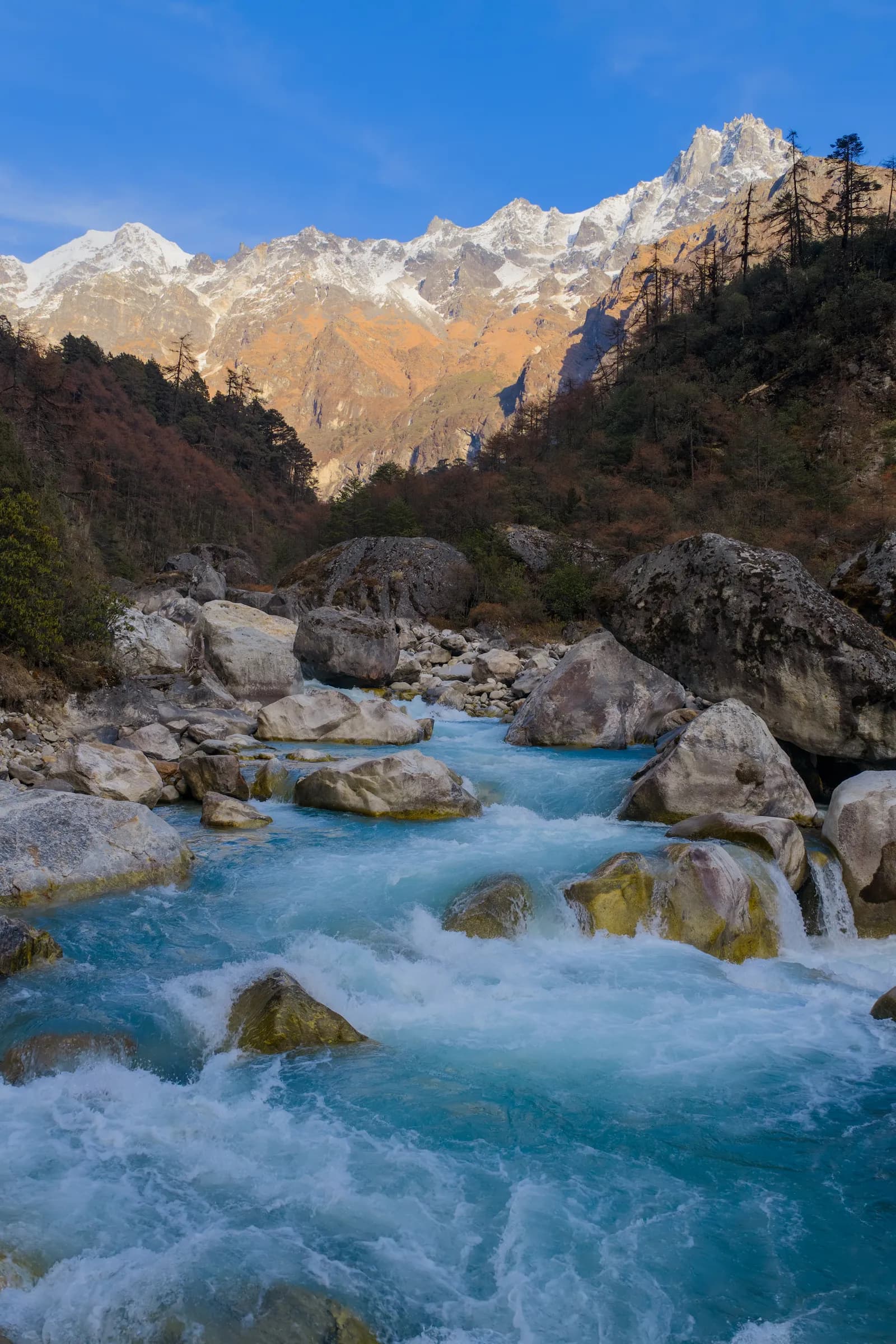
Kanchenjunga
Kanchenjunga is Nepal's far-eastern giant: a restricted-area trek through Limbu and Sherpa villages to the north and south base camps of the world's third-highest mountain, 8,586 m.
- 最高標高Pangpema, North Base Camp (about 5,140 m)
- 日数18–27
- 難易度難しい
- ベストシーズンMar–May, Oct–Nov
- 許可証3件の許可証
写真:Megaurab09 · CC BY-SA 4.0
Check that your policy covers helicopter evacuation and trekking at this region's altitude. We don't sell insurance.
What to look forWritten by FindTrekkingPartner team確認者: FindTrekkingPartner team確認方法についてFindTrekkingPartner
Kanchenjungaはネパールのトレッキング地域で、21日間のルートが標高5,140 mまで登ります。外国人トレッカーは、FindTrekkingPartnerに日程、予算、ペースを添えてトリップを投稿すれば、ここでのトレッキングのパートナーを探せます。マッチングは両者が同意するまで非公開で、サービスは無料です。 中級クラスの料金では、ライセンスを持つガイドの費用は、トレッカー4人でシェアすると21日間で1人あたり約USD 196、1人だけの場合はUSD 784です。ベストシーズンはMar–May, Oct–Novです。 ここは制限地域のため、登録済みの旅行会社を通じて雇うライセンスガイドが許可証の条件に含まれ、グループ全員が1つの旅行会社の許可証で行動します。 このルートの募集中のトリップを以下に表示します。出発月、グループ人数、残り枠を確認できます。 最終確認日: 2026年10月19日。出典: ネパール観光局、DNPWC、入国管理局。
出典:Department of Immigration, NepalNepal Tourism BoardDepartment of National Parks and Wildlife Conservation
- Kanchenjunga Circuitのパートナーを探す募集中のトリップ 1 件
概要
- 公認ガイド
- 外国人トレッカーは必須
- 最少人数
- トレッカー1人
Restricted area (DoI). Kanchenjunga is a restricted area: a Restricted Area Permit from the Department of Immigration through a registered agency, a Kanchenjunga Conservation Area entry permit and a licensed guide at all times. Reports of a March 2026 notice say individual foreigners may now apply; confirm the current rule with the agency or the Department of Immigration.
人気のトレッキング
出発地点
Kathmandu, Bhadrapur, Taplejung, Sekathum
アクセス
Fly Kathmandu to Bhadrapur (about 1 hour), then drive 9 to 10 hours to Taplejung and on to Sekathum by jeep; the circuit leaves by jeep from Yamphudin or Sekathum. There is no road beyond Sekathum on the north side. Landslides can close the road in the monsoon.
Kanchenjunga, in Taplejung District in the far north-east corner of Nepal, is the third-highest mountain in the world at 8,586 m and the centre of one of the least visited trekking regions in the country. The Kanchenjunga Conservation Area covers about 2,035 km2 along the border with Sikkim and Tibet, and its classic trek follows the Ghunsa Khola to Pangpema, the north base camp at about 5,140 m, then crosses three high passes to reach Ramche and the Yalung glacier on the south side. The area is restricted: you need a Restricted Area Permit through a registered agency, the conservation area permit and a licensed guide. Plan 21 to 27 days for the full circuit, or about 16 days for the north base camp alone, with a flight to Bhadrapur and two long road days at each end. Spring and autumn are the best seasons.
Overview of Kanchenjunga
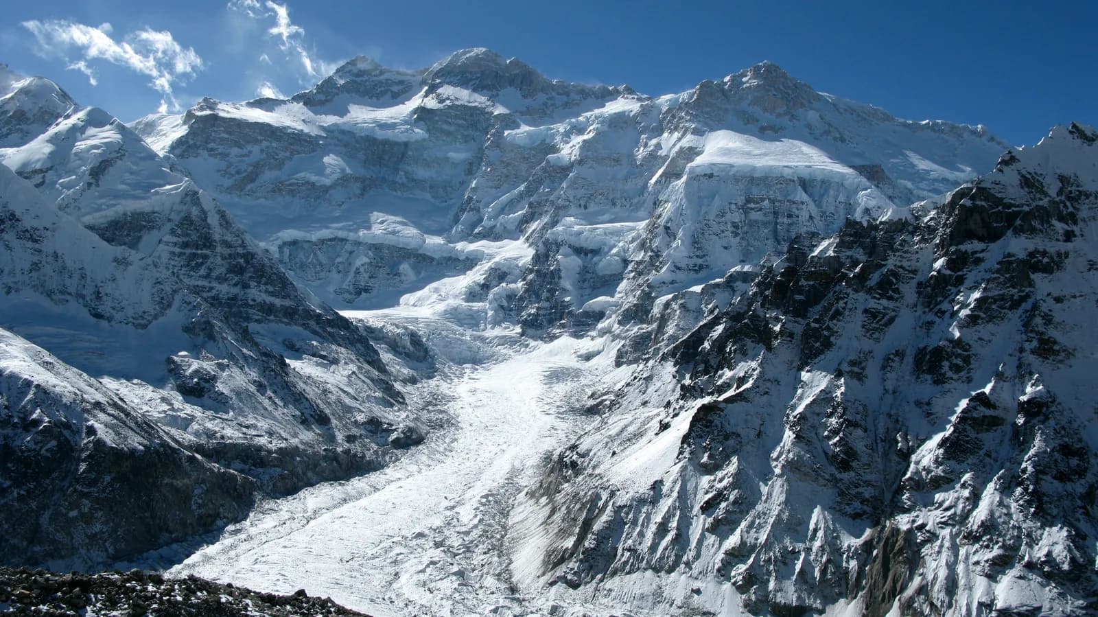
Kangchenjunga (also spelled Kanchenjunga) was thought to be the highest mountain on Earth until 1852. Measurements by the Great Trigonometrical Survey showed that Everest was higher, and in 1856 Kangchenjunga was officially ranked third. Its name is usually explained as "the five treasures of the high snow" in Tibetan. It was first climbed on 25 May 1955 by Joe Brown and George Band of a British expedition, who stopped just below the true summit to honour a promise to the ruler of Sikkim that the top would stay untouched.
The massif has five summits. The west and Kangbachen peaks lie inside Nepal, while the main, central and south summits sit on the border. Four big glaciers radiate from it: the Yalung glacier to the south-west, which you see from Ramche, and the Kangchenjunga (Lhonak) glacier to the north-west, above Pangpema. Other peaks in view include Jannu (Kumbhakarna, 7,711 m), Kabru, Talung and Nepal Peak.
The valleys are home to Limbu people of the Kirat tradition in the lower villages and Sherpa and other Tibetan-speaking Buddhist communities at Ghunsa and above. Cardamom, millet and rice terraces fill the lower valleys, and yak herders use the high pastures in summer.
Best time to trek, month by month
- March: cold at altitude, with snow on the high passes. Rhododendron starts to bloom in the lower forests. The high passes of the circuit are often still snowbound, so March suits the north base camp better than the full circuit.
- April: the spring peak. Rhododendron and magnolia bloom up the valley, skies are mostly clear in the morning and the passes are usually open by the end of the month.
- May: warmer, with afternoon cloud and haze. Pre-monsoon storms are possible, and views can be weaker than in autumn.
- June to August: monsoon. Very heavy rain, leeches below 3,000 m, landslides on the Taplejung road and cloud on the mountain. Not recommended.
- September: the rains fade, but trails are wet, leeches linger and landslides remain possible early in the month.
- October: the most reliable month, with clear air, stable weather and the harvest in the villages. The passes are open and lodges are staffed.
- November: colder and very clear. Ghunsa and Kambachen get hard frosts, and lodges higher up start to close at the end of the month.
- December to February: deep cold and snow on the high passes. The upper villages are largely empty, so this is only for experienced winter trekkers with camping support.
Routes compared
| Trek | Typical days | Highest point | Character |
|---|---|---|---|
| Kanchenjunga Circuit | 21 | Pangpema, about 5,140 m | North and south base camps, three passes, remote and long |
Many agencies sell the north base camp alone as a 16 to 18 day out-and-back trek from Sekathum to Pangpema and back, and the south base camp alone as a 14 to 16 day trek from Yamphudin to Ramche. The circuit joins them over the Sele La, Mirgin La and Sinelapche La, and the passes can hold snow in spring and late autumn.
Permits and rules
Kanchenjunga is a restricted area. The Department of Immigration issues a Restricted Area Permit, applied for through a registered trekking agency, and you also need a Kanchenjunga Conservation Area entry permit. A TIMS card may be requested where the local office asks for it. Fees and the number of days charged have changed more than once, and trekking blogs disagree, so ask the agency for the current amounts and check them against the Department of Immigration and the conservation area office.
Guides and solo travel. A restricted-area trek needs a licensed guide. Since 22 March 2026 one trekker can apply, so a group of two is no longer needed, and a partner halves the guide cost. The permit must still go through a registered agency and the guide stays compulsory. I could not confirm the official text, so check before you book. Carry your passport and several permit copies for the check posts at Sekathum, Ghunsa and Lhonak.
Getting there: flight and road
The usual route is a flight from Kathmandu to Bhadrapur in the Terai (about an hour), then a long drive north through Ilam or Phidim to Taplejung, also called Phungling, the district headquarters at about 1,800 m. Allow 9 to 10 hours with stops. From Taplejung, a jeep runs to Sekathum (Sukethum), where the north trail begins, in about 4 to 5 hours on a rough road. Some travellers instead take a night bus from Kathmandu to Taplejung, which takes around 20 hours.
For the south side, jeeps run to Yamphudin when the road is dry. At the end of the circuit you can ride a jeep from Yamphudin back to Taplejung, or walk. Flights to Bhadrapur are often delayed by cloud, so keep one buffer day at each end.
Altitude and acclimatisation
The circuit sleeps above 4,000 m at Kambachen, Lhonak, Selele and Ramche, and Pangpema is above 5,000 m. The north side gains height in steady steps, with rest days at Ghunsa (3,440 m) and an easy day at Kambachen. Lhonak (4,770 m) to Pangpema (5,140 m) is only a 370 m gain, but it is a long day of about 15 km there and back, so many guides plan it as a day trip from Lhonak. After Pangpema you descend to Ghunsa before the passes.
The pass crossing between Selele and Tseram is the hard day, with three saddles between about 4,640 and 4,710 m and a long descent. Know the symptoms of acute mountain sickness, never ascend with symptoms, and descend if they worsen. Diamox is a personal medical decision and should be discussed with a doctor.
Lodges, costs and food
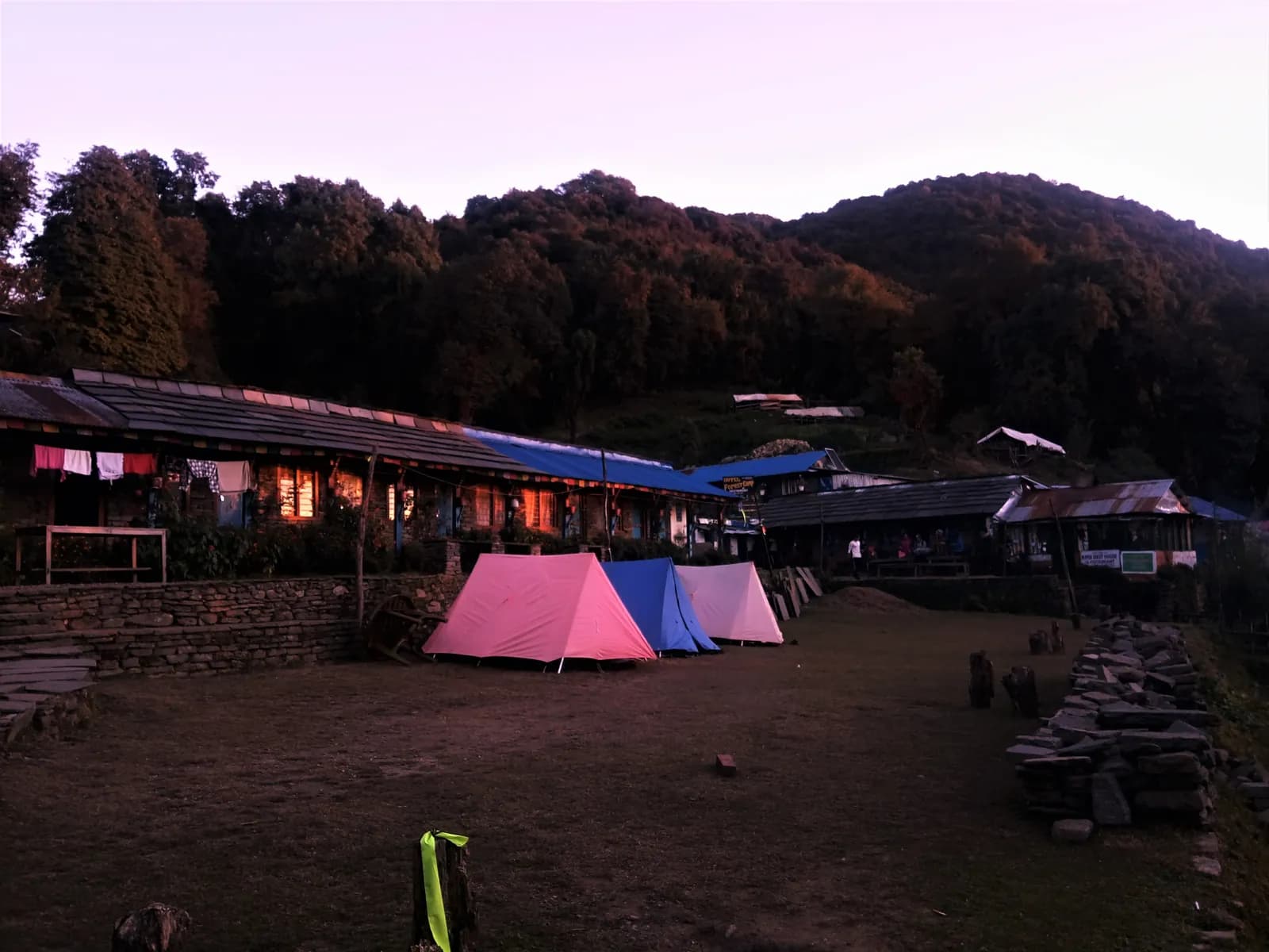
Lodges exist at Sekathum, Amjilosa, Gyabla, Ghunsa and Kambachen, with simple rooms and dal bhat, noodles and eggs. Lhonak, Selele, Tseram and Ramche have small seasonal lodges or camps; the facilities are basic and menus are short. Many agencies carry tents and a cook for the passes, and in the shoulder seasons you should not count on a bed at every stop.
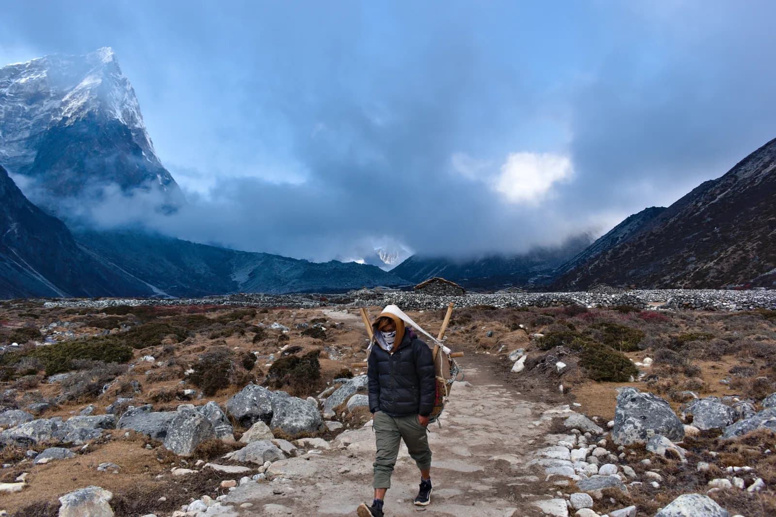
Prices rise with altitude because everything is carried in by porters and yaks. Budget for hot water, charging and bottled water separately. Bring snacks, because the lodge menus are limited, and keep a reserve of cash in rupees: there are no machines beyond Taplejung.
Connectivity
Mobile data is patchy and absent for several days. Ntc and Ncell signals appear in Taplejung, Sekathum and sometimes Ghunsa, but not above Kambachen. A few lodges sell Wi-Fi or satellite time at a high price. Tell family you will be offline for several days, and carry a satellite messenger if you want emergency cover.
Safety
The region is remote, and the nearest hospital is in Taplejung. Evacuation by helicopter is possible from Ghunsa and Lhonak in good weather, but only with insurance that covers helicopter rescue and a guide who can call. Rivers can be crossed on narrow suspension bridges, and landslides cut the trail in the monsoon. There are few other trekkers, so a fall or illness can wait hours for help. Do not trek alone even where the rule allows it.
Cold is the main hazard in the upper valley. Dress for minus 15 C at Lhonak and Ramche in autumn and spring, and carry a down jacket and a four-season sleeping bag.
What to pack
Boots that are broken in, a down jacket, a sleeping bag rated to about minus 15 C, waterproof layers, gloves and a warm hat, sunglasses with side protection, trekking poles, gaiters for snow on the passes, a headlamp, a water filter or tablets and a first-aid kit with blister care. Microspikes are useful on the Sele La section in early or late season. Leave surplus gear at your Kathmandu hotel.
History and culture
The Limbu, or Yakthung, are one of the Kirat peoples of eastern Nepal and have inhabited this region for centuries. The Pathibhara Devi temple above Taplejung is a pilgrimage site for Hindus and Kirat followers. The Sherpa and Tibetan-speaking people of Ghunsa and Kambachen brought Buddhism, and the villages have gompas and mani walls. Ghunsa has a monastery, stone houses and mani walls, and its families move down the valley for the coldest months.
The mountain has drawn explorers for more than a century. Douglas Freshfield made a celebrated circuit of the massif in 1899, and the 1955 British expedition made the first ascent from the Yalung side.
Wildlife and nature
The Kanchenjunga Conservation Area has been recognised for its birds, and records include snow leopard, red panda, musk deer, Himalayan tahr, blue sheep and the blood pheasant. In 2012 camera traps recorded a leopard cat at 4,474 m, the highest record known. The valleys pass through subtropical forest, oak and rhododendron forest, fir and juniper before the open yak pastures. Cardamom is a cash crop in the lower slopes.
Responsible trekking
Pack out your rubbish, avoid plastic bottles by using a filter, and buy from local lodges. Ask before taking photographs of people and monasteries, walk clockwise around mani walls, and do not give sweets or money to children. Limit your use of firewood by choosing lodges that use kerosene or other fuel at the higher camps.
Combining treks
The circuit can be extended by the Yalung Ri side trip at Ramche, or by the Lumba Sumba and Jongsang La routes, which are technical and need expedition-style support. A day around the tea gardens of Ilam suits the road days either side of the flight to Bhadrapur. Other trekkers combine Kanchenjunga with a Makalu trek, which shares the same long drive logistics from the east.
Money, insurance and logistics
Bring all the cash you need from Kathmandu or Taplejung. Insurance must cover trekking up to 5,500 m and helicopter evacuation. Domestic flights to Bhadrapur are sold by several airlines, and baggage limits on small aircraft are strict, so pack soft bags. Porters carry about 20 to 25 kg each under many agency rules; check how many your group needs.
Arranging your trek
Choose a registered agency that handles the Restricted Area Permit and employs insured guides and porters. Ask who the guide is, how many days are built in for rest and weather, and what happens if a pass is closed by snow. Agree the route (north only, south only or the circuit) before you pay.
Kathmandu before and after
Spend at least one night in Kathmandu before the Bhadrapur flight to finish permits and gear shopping in Thamel. After the trek, a day in Kathmandu or Bhaktapur helps you recover. If you are flying out of Bhadrapur late, you may need a night in Biratnagar or Kathmandu.
この地域のすべてのルート
この地域で扱っている標準ルートをすべて表示しています。ルートをタップすると、日ごとの行程が開きます。
ルートを比較
長さ、標高、難易度、想定費用でルートを並べ替えて、自分に合うものを見つけましょう。
日数 ↑順
| ルート | |||||
|---|---|---|---|---|---|
| Kanchenjunga Circuit | 21 | 5,140 m | 難しい | 138 km | NPR 86,000から |
費用は目安です。この地域の予算重視スタイルの1日あたりの料金に日数を掛けたもので、フライトと許可証は含まれません。
トレッキングのベストシーズン
ハイライトされた月が、おすすめのトレッキングシーズンです。 Mar–May · Oct–Nov
ベストシーズンその他の月
Live conditions
Notes entered by our team from the sources linked on each item. Conditions change quickly, so confirm with your guide or lodge before you set off.
Best seasons: Mar–May · Oct–Nov
Nothing recent on file. Check with your guide or lodge before you go.
許可証と料金
料金は1人あたりで、国籍グループによって異なります。
| 許可証 | 外国人 | SAARC | ネパール人 |
|---|---|---|---|
Kanchenjunga Conservation Area entry permit | NPR 2,000 | NPR 500 | — |
Kanchenjunga (Taplejung) restricted-area permit | 最初の7日間はUSD 20、以降1日あたりUSD 2.86 | 代理店に確認 | — |
TIMS card (trekking agency issued) | NPR 2,000 | NPR 1,000 | — |
- 購入場所
Department of National Parks and Wildlife Conservation
Department of Immigration (restricted-area permit, issued through a registered trekking agency)
Trekking agency / Nepal Tourism Board
1日の費用
ティーハウス泊のトレッキングでの1人1日あたりの費用です。ガイドとポーターはグループ/ポーター1人の1日あたりの料金です。 2026年10月時点
| スタイル | 1日あたり | ガイド/日 | ポーター/日 | 合計の例 |
|---|---|---|---|---|
| 節約 | NPR 2,900–4,800 | NPR 5,000 | NPR 2,750 | NPR 66,800–100,600 |
| 標準 | NPR 4,100–6,500 | NPR 5,000 | NPR 2,750 | NPR 88,000–132,600 |
| 快適 | NPR 5,500–8,400 | NPR 5,000 | NPR 2,750 | NPR 114,700–168,600 |
節約: Nepal Airlines flies Kathmandu to Suketar (Taplejung) for NPR 9,267 (Nov 2025) to 12,000 (Apr 2026), three days a week and often cancelled. The Bhadrapur flight and the jeep legs have no published fare in our sources.
標準: Nepal Airlines flies Kathmandu to Suketar (Taplejung) for NPR 9,267 (Nov 2025) to 12,000 (Apr 2026), three days a week and often cancelled. The Bhadrapur flight and the jeep legs have no published fare in our sources.
快適: Nepal Airlines flies Kathmandu to Suketar (Taplejung) for NPR 9,267 (Nov 2025) to 12,000 (Apr 2026), three days a week and often cancelled. The Bhadrapur flight and the jeep legs have no published fare in our sources.
ルールとマナー
ガイド
- すべての地域
Foreign trekkers must trek with a licensed guide in national parks and conservation areas (in force since April 2023). Enforcement varies by region, so verify the current rule before you go.
許可証
- すべての地域
Carry your permits at all times; they are checked at several checkpoints along every route.
安全と高度
- すべての地域
Buy travel insurance that covers helicopter rescue to at least 6,000 m.
- すべての地域
Climb high, sleep low: above 3,000 m, avoid raising your sleeping altitude by more than about 500 m per day, and add rest days.
自然保護
- すべての地域
Carry out all non-burnable waste (batteries, plastic, wrappers) and use a refillable water bottle.
文化
- すべての地域
Respect monasteries: walk clockwise around stupas and mani walls, and remove shoes where asked.
- すべての地域
Ask before photographing people, especially at religious sites and ceremonies.
ドローン
- すべての地域
No drones without prior permission from the relevant authority.
写真
よくある質問
Yes: a Restricted Area Permit from the Department of Immigration through a registered agency, plus the Kanchenjunga Conservation Area entry permit. Ask the agency for current fees and check them on the official pages.
No. A licensed guide is required in the restricted area. Reports of a March 2026 notice say individuals can apply for the permit, but a registered agency and guide are still needed. Confirm the current rule before booking.
Twenty-one days from Kathmandu on this plan, including flights and drives. Many agencies allow 24 to 27 days with weather and acclimatisation buffers. The north base camp alone takes about 16 to 18 days.
About 5,140 m, according to OpenStreetMap. Trekking guides quote slightly different figures, from 5,140 to 5,150 m, because there is no fixed marker.
October and November, and April and May. The monsoon is wet with leeches and landslides, and winter is very cold with snow on the passes.
Fly Kathmandu to Bhadrapur, drive to Taplejung in 9 to 10 hours, then take a jeep to Sekathum for the north trail, or to Yamphudin for the south. There is no road beyond Sekathum on the north side.
Yes, simple lodges at Sekathum, Amjilosa, Gyabla, Ghunsa and Kambachen. Higher up, Lhonak, Selele, Tseram and Ramche have small seasonal lodges or camps, so agencies often carry tents and a cook.
It is longer and more remote, with three passes between about 4,600 and 4,700 m and several nights above 4,000 m, but no single pass as high as Larkya La. Guides rate it as a hard, expedition-style trek.
募集中のトリップ
Kanchenjungaに関するガイド
 カバー写真: Nirmal Joshi, CC BY 2.0
 カバー写真: Binayaksha Sharma, CC BY-SA 4.0
 カバー写真: Rohit Sharma, CC BY-SA 4.0
 カバー写真: Iamthanes, CC BY-SA 4.0
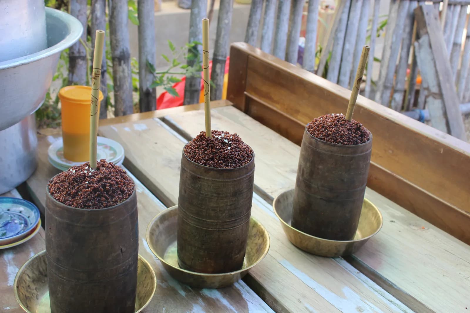 カバー写真: Bhattaraibinod3, CC BY-SA 4.0
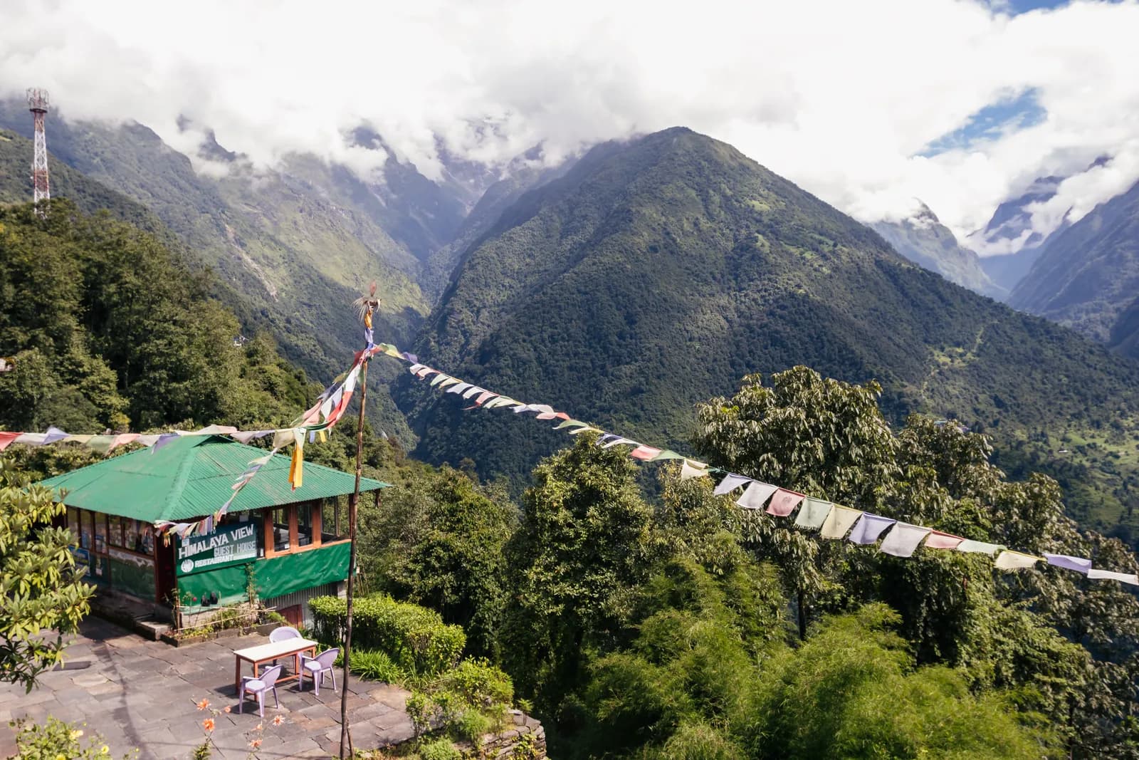 カバー写真: Bijay Chaurasia, CC BY-SA 4.0
情報源
- Kangchenjunga (Wikipedia)
- Kanchenjunga Conservation Area (Wikipedia)
- Taplejung District (Wikipedia)
- Department of National Parks and Wildlife Conservation, Nepal
- Department of Immigration, Nepal
- Restrictions on trekking for foreigners in controlled areas of 13 districts (Kantipur, 6 May 2026)
- Nepal Tourism Board
- Himalayan Rescue Association
- OpenStreetMap (elevation tags of passes, peaks and villages)
Kanchenjungaを歩く準備はできましたか?
この日程のトレッキング仲間を探すか、自分のルートの計画を始めましょう。