Monsoon trekking in Nepal, rain-shadow routes
What the monsoon does to Nepal's trails, which routes are drier because they sit in the rain shadow, and the transport, leech and landslide risks to plan around from June to September.

The monsoon makes most of Nepal's trails wet, cloudy and landslide-prone from June to September, but a few routes on the north side of the main ranges sit in the rain shadow and stay far drier, with Upper Mustang the best known. If you can only travel in the summer, choose one of those routes and plan your logistics around the weather, because the trouble on a monsoon trek is more often the road or the flight than the walk.
This guide explains how the monsoon works over Nepal, which routes are workable, what the risks are and how to prepare. For other seasons, see the best time to trek in Nepal.
Upper Mustang Trek (Lo Manthang)的開放行程
由正在尋找夥伴的健行者發布的真實行程。
How the monsoon works
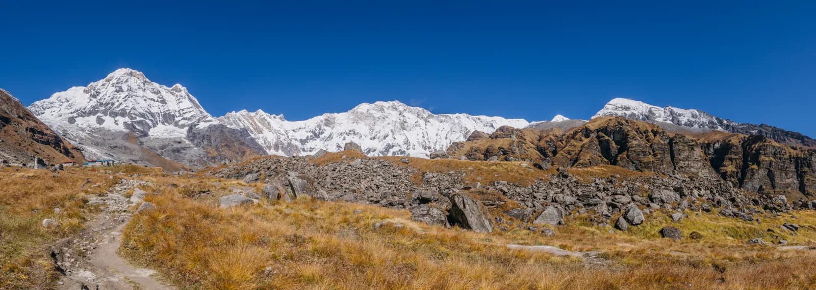
The summer monsoon brings moist air from the Bay of Bengal across India and up against the Himalaya. The air is forced upward, cools and drops its rain on the southern slopes. Typical months are June to September, with the heaviest rain in July and August. By the time the air crosses the main ranges, much of the moisture has gone, so the north side is drier. That is the rain shadow.
The effects on a trek are predictable:
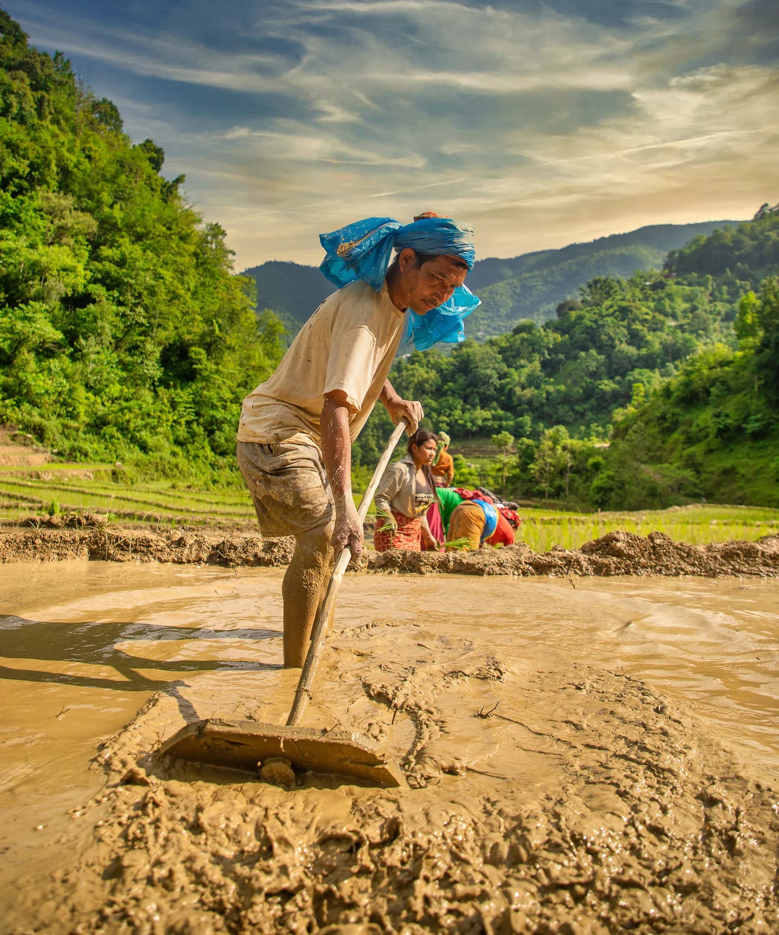
- South-facing valleys (Everest approach, Langtang lower valley, Annapurna foothills, Manaslu lower valley) get heavy rain, cloud, landslides and leeches.
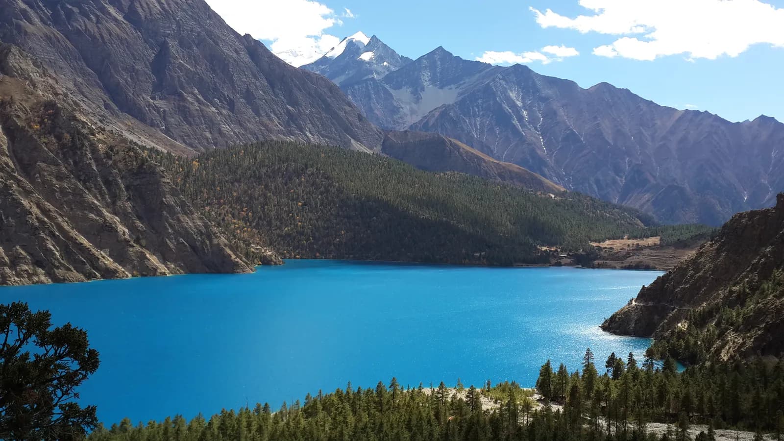
- North-facing valleys and the Tibetan plateau side (Upper Mustang, the upper Marsyangdi around Manang, Nar Phu and Dolpo) are far drier.
- Mornings are usually clearer than afternoons, throughout the country.
The rain-shadow routes
| Route | Region | Why it works | Main risk |
|---|---|---|---|
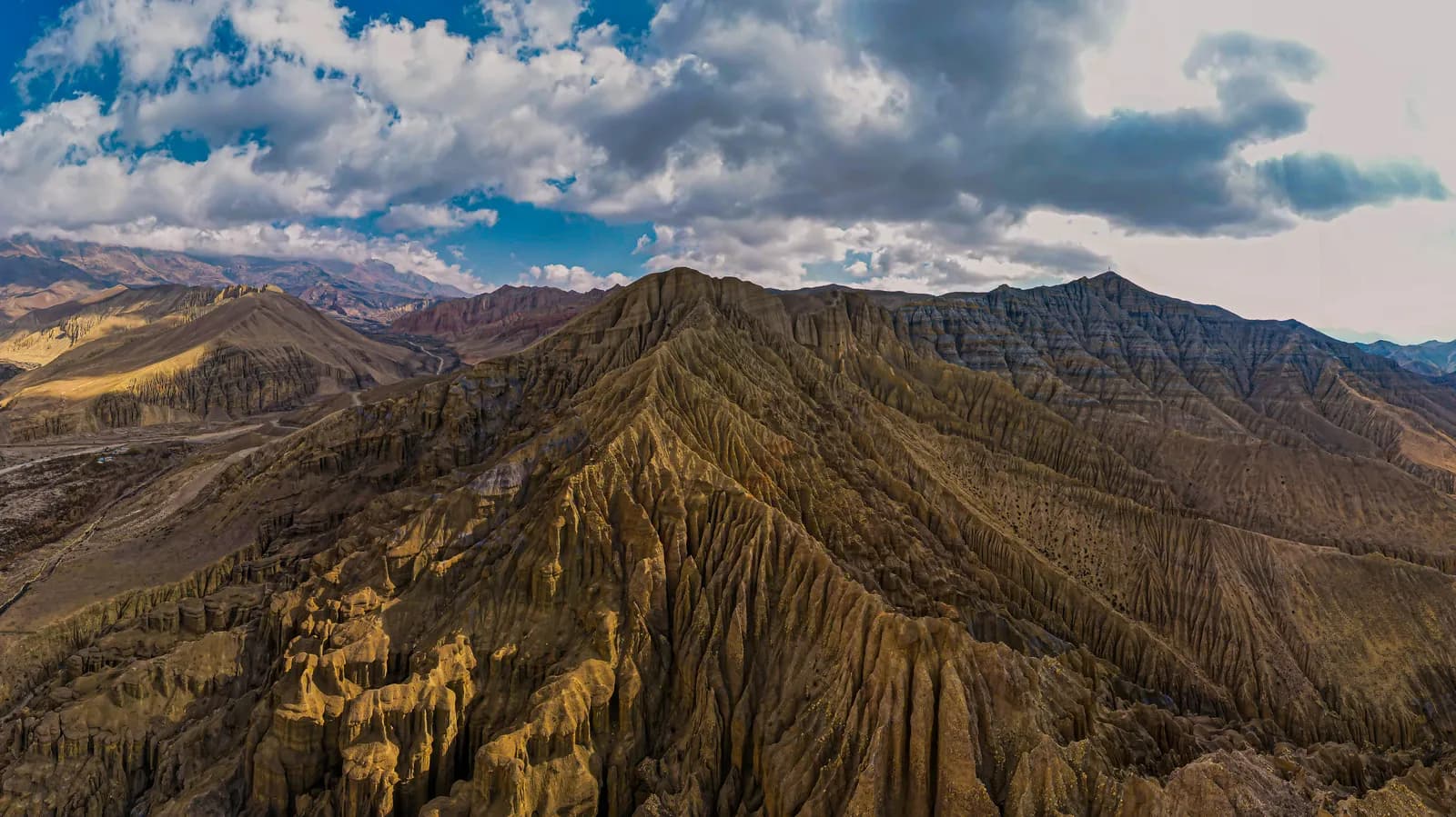
| Upper Mustang | North of Kagbeni | Low annual rainfall, desert landscape | Flights to Jomsom, road landslides, wind |
| Upper Manang and Tilicho | Annapurna north side | Dry valley, protected by the Annapurna range | Wet approach from Besisahar side |
| Nar Phu and Upper Dolpo | Far north | Deep in the rain shadow | Remote, permits, long approaches |
| Langtang upper valley | Above Langtang village | Less rain than lower forest | Wet, slippery lower valley |
Upper Mustang is the standard monsoon answer. The Wikipedia article on the region gives annual precipitation of roughly 250 to 400 mm, far below the southern slopes. For the full picture, see best time for Upper Mustang. Its permits and agency rules are in the restricted-area permit guide.
What goes wrong in the monsoon
Landslides and washed-out trails
Heavy rain loosens slopes. Trails and roads can be blocked for hours or days. On a trek, this can mean crossing a fresh slide with a guide, detouring or waiting. Walk early, before the afternoon rain, and never cross a stream in spate. The partners and safety hub covers general rules for rivers and slopes.
Leeches
From about June to September, leeches are common in the damp forest below about 2,500 m. They are harmless but unpleasant. Leech socks, tucking trousers into socks and checking your legs at rest stops help. Dry, high villages are free of them.
Flights and roads
Cloud on the southern side delays morning flights, and landslides block roads. The Pokhara to Jomsom flight is often cancelled in summer, and the Kali Gandaki road can be blocked. The flight versus jeep comparison discusses the options. Always add buffer days at both ends of a monsoon itinerary.
Views and photography
Clouds often hide the peaks, especially in the afternoon. The mornings can be clear, and clearing storms can give dramatic light. If views are your priority, choose another season; if solitude, green landscapes and flowers appeal, the monsoon has its own rewards.
Which popular routes to avoid
Treat these as poor choices in July and August:
- Everest Base Camp. Flights to Lukla are frequently cancelled, the approach is wet and the views are limited.
- Annapurna Base Camp, Poon Hill and Mardi Himal. Heavy rain, leeches and little view.
- Manaslu Circuit. Landslides in the lower Budhi Gandaki and cloud on the pass.
- Langtang lower valley. Landslides and leeches between Syabrubesi and Lama Hotel.
The Everest guide and the Manaslu guide explain why.
How to prepare
- Waterproofs. A reliable rain jacket and trousers, and a pack cover or dry bags for everything that must stay dry.
- Footwear. Waterproof boots and gaiters, with spare socks.
- Leech protection. Socks, repellent or salt, and a habit of checking.
- Electronics. Put phones and cameras in dry bags with silica gel.
- Buffer days. At least two at each end for flights and roads.
- Flexible bookings. Choose refundable accommodation and transport where possible.
See the Nepal trek packing list for the full kit.
Planning a monsoon itinerary
A reasonable plan for a summer trip centres on a rain-shadow route and keeps the rest of the schedule loose:
- Fly or drive to the north side as early as the weather allows, ideally in the first morning window.
- Walk the dry section, with rest days built in.
- Return in the same way, leaving a spare day before international flights.
- Keep Kathmandu or Pokhara plans flexible in case of a delay.
The first-timers in the group should read the first-time trekking guide, and anyone travelling alone should read about finding a partner safely, since support is thinner in the monsoon.
Is it worth it?
For most trekkers, no: the shoulder seasons of October and April are more reliable. For travellers constrained to summer, or who want empty trails and a different landscape, the rain-shadow routes make a good trek, provided you accept the transport uncertainty.
The monsoon calendar
| Period | What happens | Trekking effect |
|---|---|---|
| Late May to early June | Pre-monsoon build-up, afternoon storms | Hot, humid at low altitude; still usable on many routes |
| June | Monsoon onset, usually mid-month | Rain begins, leeches appear, first landslides |
| July | Peak rain | Worst conditions on southern routes; rain shadow routes still dry |
| August | Peak rain continues | Landslides and flooding most likely; flights often delayed |
| September | Withdrawal, drying out | Improving through the month; late September is already good |
Onset and withdrawal change from year to year, and the Department of Hydrology and Meteorology publishes forecasts and warnings. Check them before and during your trip.
A monsoon Upper Mustang plan
The logic of a summer trek is to get to the dry side quickly and spend your time there.
| Day | Plan | Altitude | Monsoon note |
|---|---|---|---|
| 1 | Fly Pokhara to Jomsom (morning), or drive | about 2,720 m | The weak link: flights depend on cloud |
| 2 | Jomsom to Kagbeni, permit check | about 2,810 m | Dry, windy afternoons |
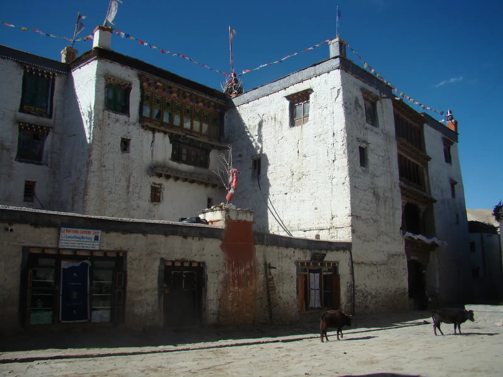
| 3 to 7 | Kagbeni to Lo Manthang by foot or jeep | up to about 3,840 m | Sunny, warm, little rain |
| 8 to 9 | Lo Manthang and side trips | up to about 4,280 m | Clear mornings |
| 10 to 12 | Return to Jomsom | about 2,720 m | Spare days for road or flight delay |
The Upper Mustang itinerary has the full day-by-day version, and the restricted area rules mean you need an agency and a guide whatever the season.
Landslide and river rules
Monsoon trekking asks for more discipline than the dry seasons.
- Cross slides one at a time and quickly, watching the slope above. If rocks are moving, wait.
- Do not cross swollen streams. Water that looks shallow can carry boulders. Wait for it to drop, which is often by morning.
- Use bridges only if they look sound. After heavy rain, check the approach and the cable anchors.
- Avoid camping or sleeping under unstable slopes.
- Listen to local advice. Lodge owners and guides know which sections fail first.
Your guide should make these calls, but you should understand them and be willing to stop.
Health in the wet
Wet conditions have their own problems. Feet stay damp, which causes blisters and skin breakdown, so change socks at lunch and dry your feet in the evening. Mosquitoes and sandflies are more common at lower altitude, so bring repellent. Water sources can be contaminated by runoff, so treat all drinking water, and wash your hands before eating. Mould and damp are common in lodges, so keep your sleeping bag in a dry bag. Read altitude sickness basics too; rain does not change the altitude rules.
Budget and demand
The monsoon is low season. Lodges in popular villages are quiet, some close, and rates for flights and guides may be lower or more negotiable. The trade-off is less choice of departures and thinner support if something goes wrong. If you use an agency, ask what happens if a flight is cancelled and who pays for the extra nights. The cost guide explains how a delay changes the budget.