Gosaikunda versus Helambu: Two Short Treks near Kathmandu
Gosaikunda is a fast, steep climb to sacred lakes at 4,380 m; Helambu is a gentler 8-day ridge-and-village loop topping out at 3,650 m. Altitude gain, difficulty, permits, cost, culture and season compared.
Gosaikunda is a short, steep, high trek that reaches sacred lakes at 4,380 m in two days from the road, so it needs care and a slow pace; Helambu is a longer, gentler loop of 8 days that peaks at about 3,650 m and passes through Yolmo villages, so it is the better first trek. Both start within a day of Kathmandu, both sit in or beside Langtang National Park, and both are moderate in our route data, but they feel very different: one is a pilgrimage climb to a lake, the other a ridge walk through hill villages.
This guide compares them side by side using our route pages for Gosaikunda and Helambu, and sets them against the more famous Langtang Valley. The comparison hub is which Nepal trek is right for you.
Gosaikunda Lake Trek的開放行程
由正在尋找夥伴的健行者發布的真實行程。
At a glance
| Factor | Gosaikunda | Helambu |
|---|---|---|
| Days (our plan) | 6 | 8 |
| Start | Drive Kathmandu to Dhunche, 6 to 7 h | Sundarijal, near Kathmandu |
| Highest point | Gosaikunda, 4,380 m | Tharepati, about 3,650 m |
| Difficulty (route data) | Moderate, short but steep | Moderate, long days |
| Character | Alpine lakes, pilgrimage, rocky ridge | Forest ridge, Yolmo villages, monasteries |
| Main permit | Langtang National Park, NPR 3,000 | Shivapuri Nagarjun National Park, NPR 1,000, plus Langtang |
| Guide and porter days (cost model) | 6 and 4 | 8 and 7 |
Gosaikunda in outline
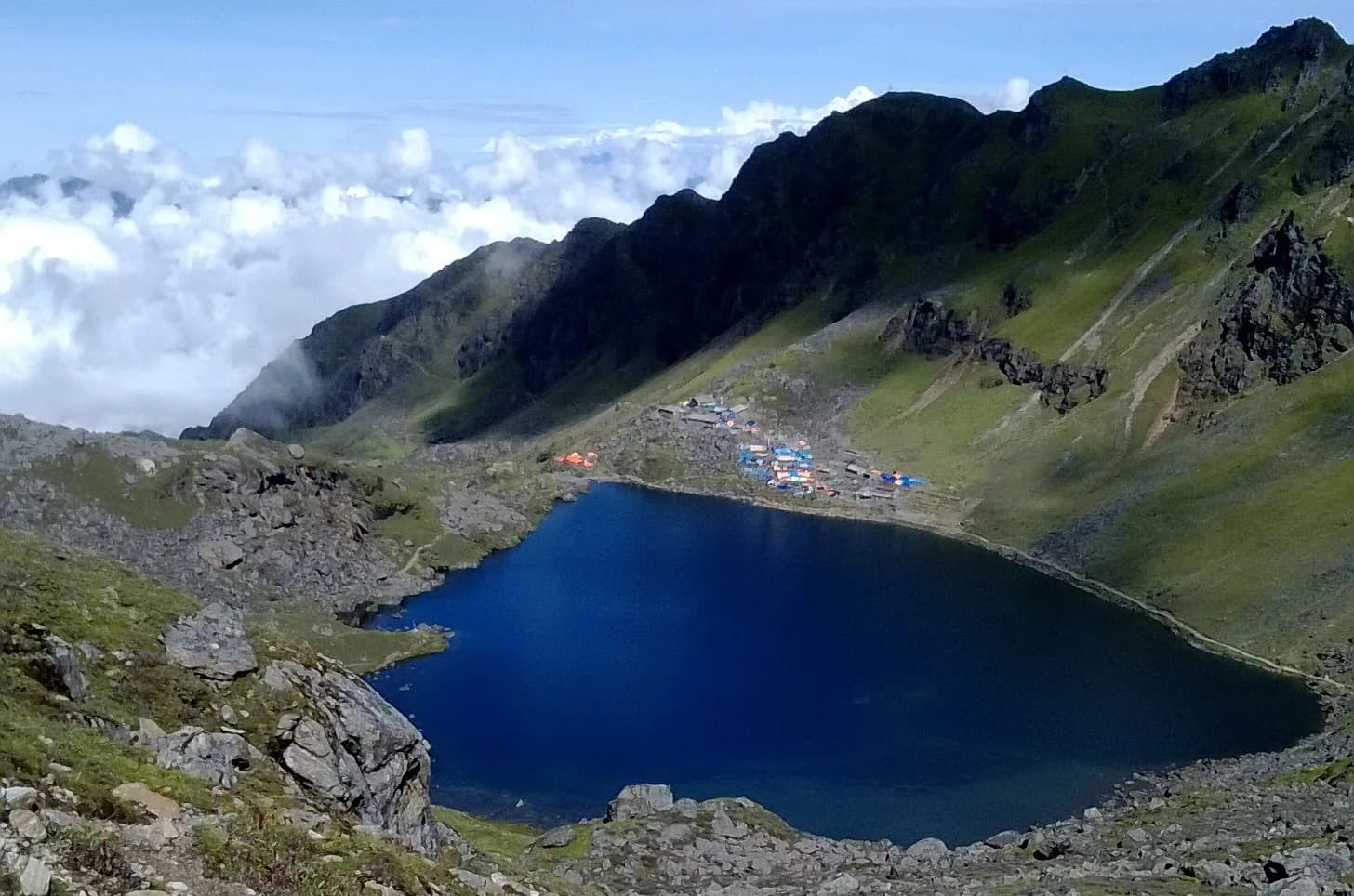
Our six-day plan drives from Kathmandu to Dhunche (1,960 m) on day 1, climbs to Chandanbari, also known as Sing Gompa, at 3,330 m on day 2, ascends through Laurebina to Gosaikunda at 4,380 m on day 3, descends to Thulo Syabru (2,210 m) in a long seven- to eight-hour day, and ends at Syabrubesi (1,460 m) with the drive back. The route description notes Gosaikunda is a Hindu and Buddhist pilgrimage site, said to have been created when Shiva struck the ground with his trident, with 108 lakes in the vicinity according to local tradition, and a group of lakes including Saraswati Kunda, Bhairav Kunda and Surya Kunda.
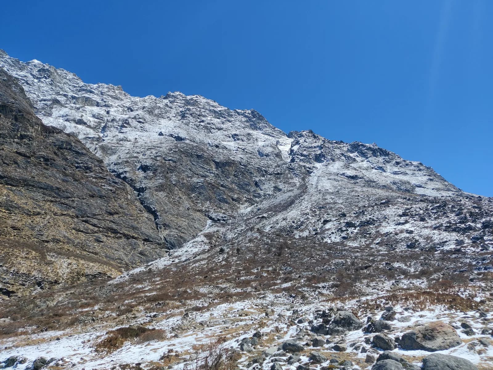
The landscape is rhododendron and oak forest, then juniper, then a rocky ridge above the tree line at Laurebina Yak, with exposed sections, and a cirque of lakes at the top. It is short but steep.
Helambu in outline
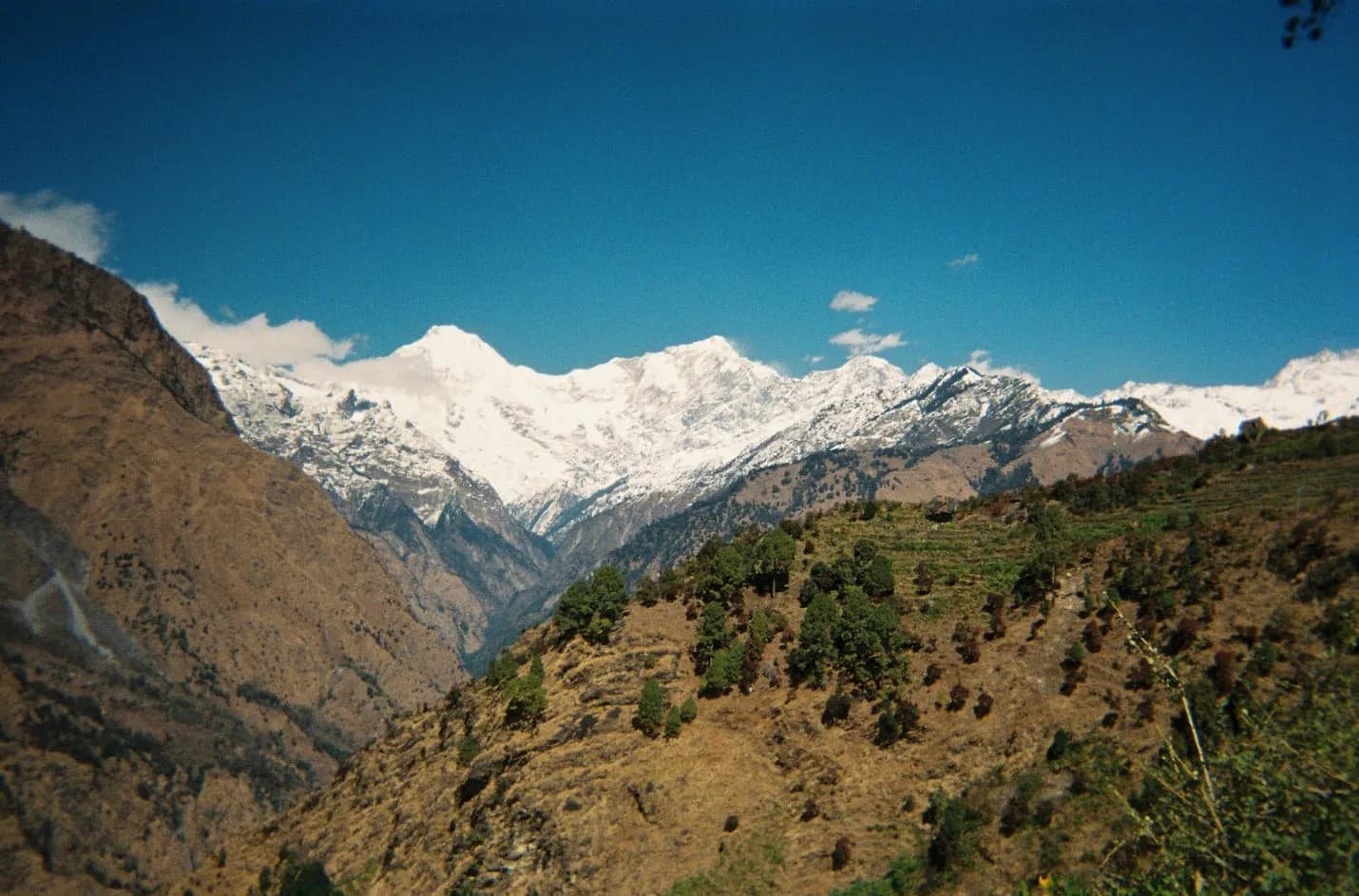
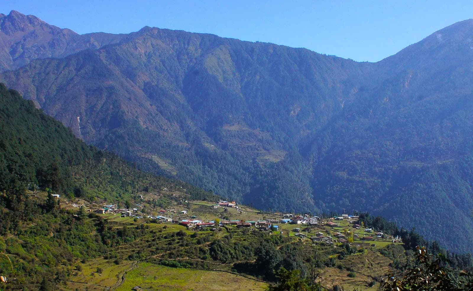
Our eight-day plan starts at Sundarijal (about 15 km from Kathmandu), climbs through Shivapuri Nagarjun National Park to Chisapani (2,180 m), follows the ridge to Kutumsang (2,470 m) and Tharepati (3,650 m), descends to Melamchigaon (2,540 m) and Tarke Ghyang (2,580 m), continues to Sermathang (2,580 m) and finishes at Melamchi Bazaar (820 m) before the drive back. The route covers about 90 km on foot with about 6,700 m of climbing and uses simple lodges every night. It is the home of the Yolmo (Hyolmo) people, with stone houses, mani walls and monasteries, and the Tharepati ridge looks toward Langtang Lirung and the Jugal range.
Altitude and the real difference
This is the deciding factor. The NHS advises that above 3,000 m you should not sleep more than 500 m higher than the night before, and should take a rest day every three to four days. Gosaikunda breaks the first rule as written. From Dhunche at 1,960 m to Chandanbari at 3,330 m is a gain of 1,370 m in a day, and from Chandanbari to Gosaikunda at 4,380 m is a further 1,050 m the next day, so you sleep at 4,380 m two nights after leaving 1,960 m. Our route page says the altitude gain is fast and needs care, and that it suits fit walkers who respect it with a slow pace and plenty of water. A safer pattern is an extra night at Chandanbari or Laurebina, which turns the six days into seven or eight.
Helambu tops out at about 3,650 m on the ridge at Tharepati, with sleeping altitudes mostly between 2,180 and 2,580 m, so it avoids the issue. The challenge there is distance and steep stone steps, not height. Read altitude sickness basics, the acclimatisation schedule and HAPE and HACE warning signs before Gosaikunda.
Culture and scenery
Gosaikunda is a place of pilgrimage with a distinct feel: sacred lakes, a small monastery at Sing Gompa that our route page notes has a cheese factory, and views along the Laurebina ridge. Helambu is a cultural walk: Yolmo villages, monasteries at Tarke Ghyang and Sermathang, apple orchards, rhododendron and fir forest and views of the Langtang range. Our monastery etiquette guide applies in both.
If you want mountains and a high lake, Gosaikunda; if you want villages and forest with a gentle altitude profile, Helambu.
Permits and costs
Gosaikunda is in Langtang National Park, so you need the entry permit (NPR 3,000 as of October 2026) and a TIMS card where required. Our Helambu route lists the Shivapuri Nagarjun National Park permit (NPR 1,000), the Langtang National Park permit and TIMS where required; check with your agency which apply on your exact line. As of October 2026 our Langtang region data gives a guide at NPR 2,700 to 4,000 a day and a porter at NPR 2,100 to 3,400. The cost model uses 6 guide days and 4 porter days for Gosaikunda, which comes to NPR 16,200 to 24,000 for the guide, and 8 guide days and 7 porter days for Helambu, NPR 21,600 to 32,000 for the guide. Transport adds a drive to Syabrubesi or Dhunche (local bus about NPR 800 to 1,500, shared jeep NPR 1,500 to 3,000, private jeep NPR 15,000 to 29,500 per vehicle) or a taxi to Sundarijal and a bus or jeep from Melamchi; fares for the latter are not published in our sources. See the Nepal trekking cost guide.
The guide rule
A licensed guide through a registered agency is required in restricted areas (Department of Immigration) and, under the Nepal Tourism Board rule of April 2023, in national parks and conservation areas, where 2026 operator reports say checkpoints enforce it in Annapurna and Langtang, the strictest, but not in Khumbu (checked 19 October 2026). Neither route is a restricted area, and our cost model assumes a guide on both. See the guide rule explained and /guide-rule-nepal.
Season
Both routes list March to May and October to November as best months. Gosaikunda is cold and snowy in winter and wet in the monsoon, and the trail on the ridge is exposed in bad weather. Helambu is the lower, more forgiving trek in winter, though nights are cold above 2,500 m. See best time for Langtang Valley for the region and best time to trek in Nepal.
Which should you choose?
- First trek, first-timers, altitude-cautious: Helambu.
- Fit, short on days, want a high lake: Gosaikunda, with an extra acclimatisation night.
- Culture and villages: Helambu.
- Pilgrimage and alpine scenery: Gosaikunda.
- Want a classic Himalayan valley: the Langtang Valley; see Langtang versus Annapurna.
A more careful Gosaikunda schedule
If Gosaikunda appeals, build in time. Our six-day plan climbs from Dhunche (1,960 m) to Chandanbari (3,330 m) on day 2 and to Gosaikunda (4,380 m) on day 3, then makes a long descent to Thulo Syabru (2,210 m). A safer pattern spends two nights at Chandanbari, using the extra day for an easy walk and rest, which makes it a seven-day trek and eases the first large gain, though the final climb of about 1,050 m to the lakes is still more than the NHS guide of 500 m of extra sleeping height. For that reason, go slowly, drink plenty of water, do not push if you have a headache or nausea, and be ready to turn back; the NHS advises resting at the same height if symptoms are mild and going down if they worsen. Read HAPE and HACE warning signs, and tell your guide early if you feel unwell.
Finding a partner
Both are good trips to share, because the guide and porter days are a large part of the cost. See the Gosaikunda partner page or the Helambu partner page and read how to find a trekking partner in Nepal safely. For short alternatives, see short treks from Kathmandu in 3 to 4 days and the comparisons category.