Kathmandu to Syabrubesi for the Langtang trek
How to get from Kathmandu to Syabrubesi, the Langtang trailhead: bus or jeep options, the route through Trishuli and Dhunche, timings, road conditions, overnight stops and what to carry.
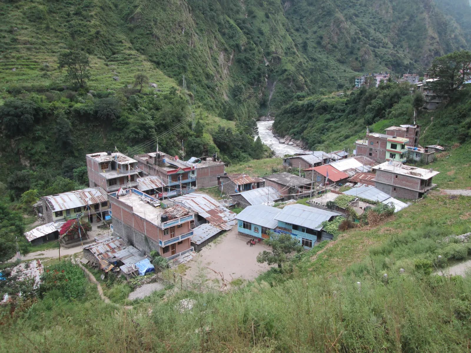
Syabrubesi (about 1,460 m) is the starting village for the Langtang Valley trek, and you reach it from Kathmandu by a seven to nine hour drive of roughly 115 to 125 km (published figures range from about 113 to 122 km depending on the route taken) along the Trishuli valley and up through Dhunche. You can go by bus, shared jeep or private jeep, and almost everyone arrives in the afternoon and starts walking the next morning. This guide explains the options, the route and what to plan for.
The trek itself is in the Langtang Valley itinerary, and the Langtang region page describes the geography. For other trailheads, see the trailheads hub.
Langtang Valley Trek的開放行程
由正在尋找夥伴的健行者發布的真實行程。
The route
| Leg | Approximate distance | Notes |
|---|---|---|
| Kathmandu to Trishuli Bazaar | first leg, about half the distance | Leaves the valley via Balaju, climbs the Kakani ridge area, then descends to the Trishuli river |
| Trishuli to Dhunche | longest climb | Climbs the valley; Langtang National Park gate near Dhunche (about 1,960 m) |
| Dhunche to Syabrubesi | final stretch | Descends then follows the Bhote Koshi / Trishuli to Syabrubesi |
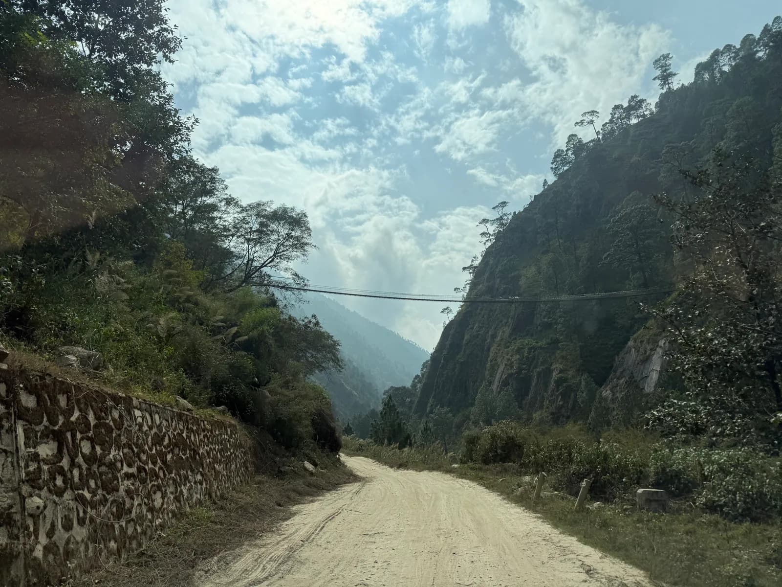
The road has been improved in sections but remains narrow and winding, with sharp bends, steep drops and occasional unpaved stretches. It is busy with trucks and buses, and delays are common when sections are being repaired or after landslides.
Options compared
| Option | Typical time | Comfort | Cost level | Best for |
|---|---|---|---|---|
| Public bus | 8 to 10 hours | Basic, crowded | Lowest | Solo, flexible travellers |
| Shared jeep | 7 to 9 hours | Moderate; fills up | Moderate | Pairs and small groups |
| Private jeep | 6 to 8 hours | Best; stops on request | Highest per vehicle, falls per person | Groups of three or four |
| Agency transfer | As above | Arranged | Included in package | Guided trips |
Fares change by season and operator, so treat the following as ranges as of October 2026 and confirm before you pay. Published figures from recent guides give about NPR 800 to 1,200 (roughly USD 6 to 9) for a public bus seat, with foreigners sometimes quoted at the higher end; about USD 12 to 20 (roughly NPR 1,700 to 2,800) per seat in a shared jeep; and about USD 180 to 220 (roughly NPR 25,000 to 31,000) for a private jeep, which falls per person as the group grows. Exchange rates used here are about NPR 140 to the dollar. Ranges vary by season, fuel prices and how the booking is made.
Public bus
Buses leave from Kathmandu's northern bus parks, and in recent years that has meant the Machha Pokhari bus park (Machhapokhari) in northern Kathmandu, not Gongabu. Departure times are early morning, often between 6:00 and 7:00. Seats fill, so arrive early, and keep your daypack with you. A conductor will stow your duffel on the roof; use a lockable duffel and keep valuables with you. Because bus parks and times change, ask your hotel to confirm the day before.
Shared and private jeeps
Jeeps leave when full, and a private vehicle goes when you want. A private jeep suits groups because the cost is shared, and it allows early starts and stops. Agree the fare, the departure time and whether the driver will wait if you need a break, and get the details in writing from your agency.
Where to break the journey
You can do the trip in a day, but many people split it.
- Trishuli Bazaar: the first major town, with simple lodges. Good if you start late.
- Dhunche: a hill town with the park headquarters, a checkpost and several lodges. Sleeping here puts you at about 1,960 m and breaks the journey nicely.
- Syabrubesi: the end of the road, with lodges, restaurants and a small bazaar. Most trekkers sleep here.
Arriving at Syabrubesi the day before you walk gives you time to organise your bag and ask about conditions.
Permits and checkpoints
Langtang National Park requires an entry permit, which you can buy in Kathmandu or at the park entrance near Dhunche. A TIMS card may also be required, depending on the rules for your dates, so ask your agency. The checkpost near Dhunche records your details, so carry your passport and permit copies. If you also plan to walk to Gosaikunda, the same permit generally applies, but confirm with the issuer. Read the permits hub for how the permit types fit together.
Road conditions by season
- October and November: dry and busy. Expect traffic and a crowded bus.
- December to February: cold mornings, sometimes ice near Dhunche, and few delays.
- March to May: dusty and busy at the start and end of the season.
- June to August: monsoon landslides and washouts. Delays of hours or days are possible, and some sections may be impassable. See monsoon trekking in Nepal.
Check the news and ask your agency about road conditions before you leave. The best time for the Langtang Valley covers the seasons for the trek itself.
What to carry for the ride
- Your passport and permit copies in your daypack, not on the roof.
- Water and snacks. Roadside stops exist but are basic.
- Motion-sickness remedies if you are prone, since the road is winding.
- A warm layer. Dhunche and the higher stretches are cool.
- Small notes for tea, snacks and any road tolls.
- A bag liner or dry bag for the duffel if it travels on the roof, particularly in the monsoon.
Plan around the road
Because the road can be slow, keep a buffer. If you have a fixed international flight, plan one spare day at each end of the trek. If you are taking a bus, leave early; if you are in a group, a private jeep may be worth the cost. For the money side, the cost guide explains how transport shares across a group.
Travelling with partners
A private jeep is one of the easiest costs to split. If you are still looking for partners, how to find a trekking partner safely explains how to arrange it, and the solo trekking guide covers the choices for those travelling alone.
After the road
At Syabrubesi, the walk begins by crossing a bridge and heading up the Langtang Khola to Lama Hotel. For acclimatisation planning in the valley, see the acclimatisation schedule.
A sample travel day
| Time | What happens | Altitude |
|---|---|---|
| 6:00 | Leave the hotel in Kathmandu for the bus park or meet the jeep | about 1,400 m |
| 7:00 to 8:00 | Cross the valley rim and drop toward the Trishuli river | dropping to the river valley |
| 10:30 | Break at Trishuli Bazaar for tea or an early lunch | river valley |
| 11:30 to 14:30 | The long climb up the valley toward Dhunche; checkpoint near the park gate | rising to about 1,960 m |
| 15:00 | Descent toward Syabrubesi | falling to about 1,460 m |
| 16:00 to 17:00 | Arrive and check in; pack for the next day | about 1,460 m |
The road descends to the river valley and then climbs again, so you will feel the altitude change on the way up to Dhunche, but Syabrubesi itself is low enough that it does not matter for acclimatisation. The first night in the valley at Lama Hotel is the first real step up, as the Langtang itinerary explains.
What you will see on the way
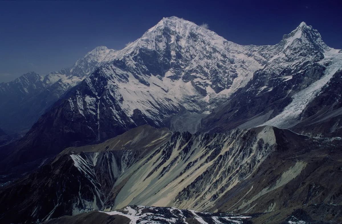
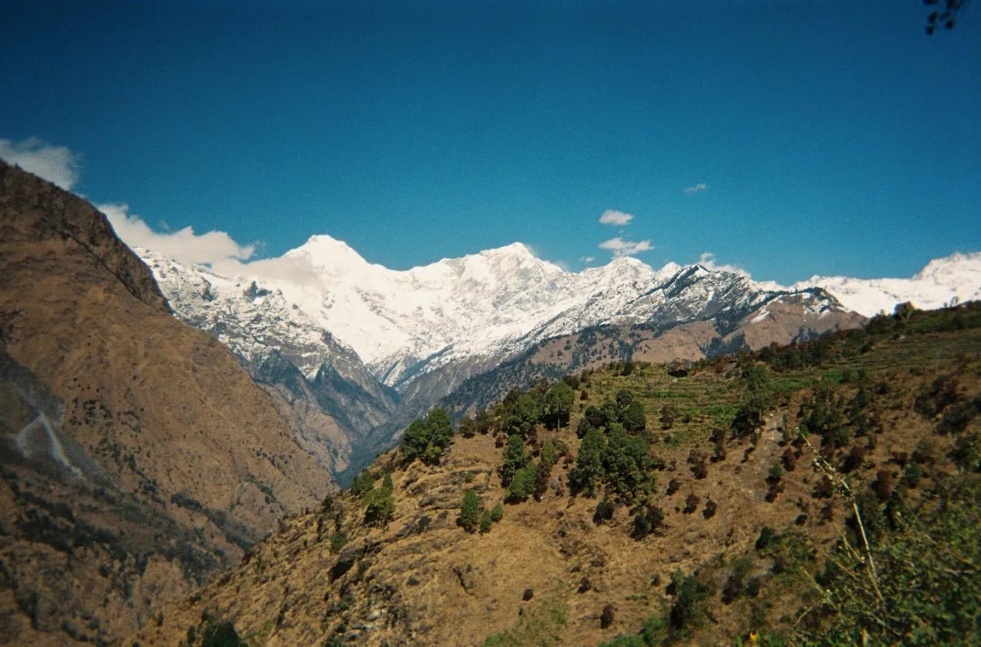
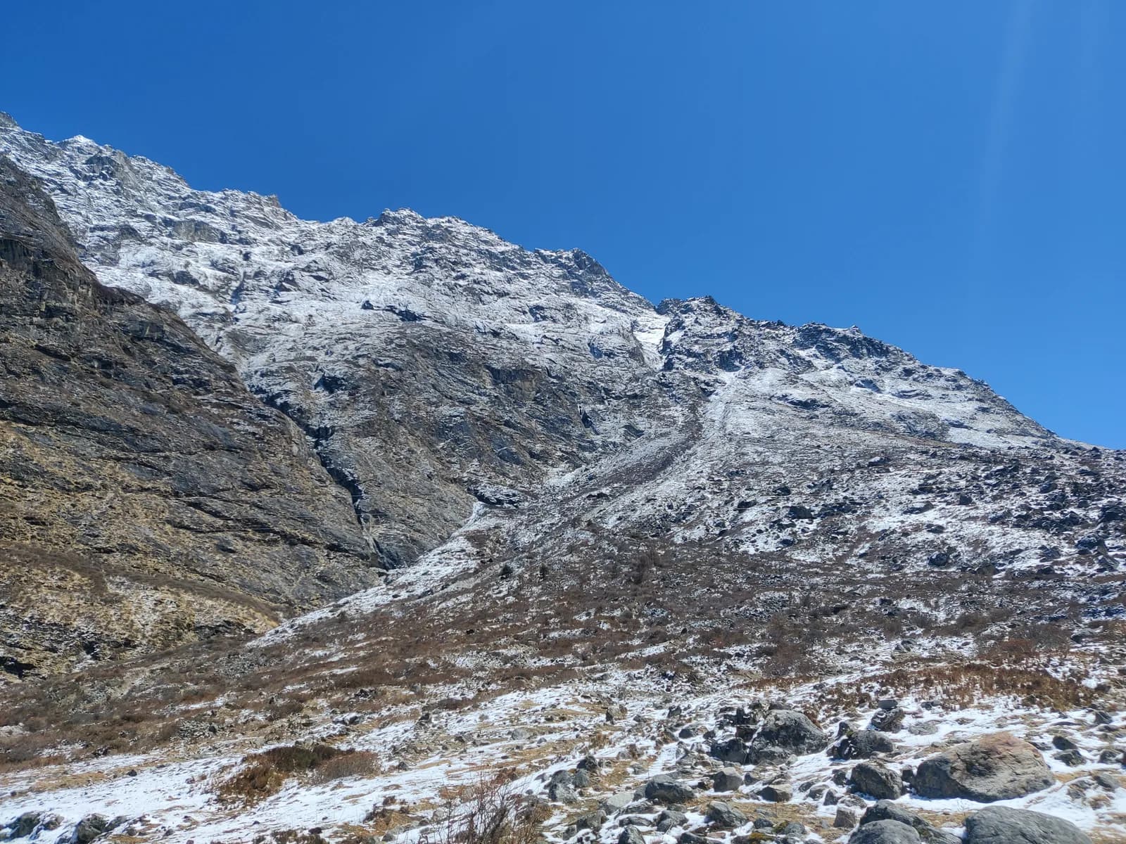
The route is scenic in its own right. You pass terraced hillsides, small villages with prayer flags, rhododendron forests in spring and glimpses of snow peaks, including Langtang Lirung (7,227 m), as you climb. The Trishuli river runs beside the road for a long stretch, with suspension bridges and small hydropower stations.
The return journey
Coming back, the same road in reverse takes a similar time. Most trekkers plan the return to Kathmandu for the day after they finish the trek, and keep a buffer day before an international flight. A private jeep booked from Syabrubesi can be arranged through your lodge or guide, and buses leave early in the morning from the village. If you finish early, you can sometimes get a shared jeep earlier in the day, but it is not worth cutting your schedule close.
Safety on the road
Mountain roads in Nepal carry real risk, and it is sensible to treat them seriously.
- Choose a reputable operator and a driver who looks rested, and avoid night driving.
- Wear a seat belt where one exists, and sit away from the roof if the bus is overloaded.
- Do not hesitate to ask the driver to slow down on bends or in the rain.
- Avoid travelling during or immediately after heavy rain, when landslide risk is highest.
- Keep your insurance details handy and make sure your policy covers road accidents.
If you are nervous, a private jeep with a driver recommended by your agency is the best compromise between cost and control.
Questions to ask your agency or hotel
- Which bus park or pickup point applies, and what time does the vehicle leave?
- Is the jeep private or shared, and how many seats does it have?
- What is the plan if the road is blocked, and who pays for the extra night?
- Are the park permit and TIMS included, and who buys them?
- How will my duffel be carried, and is it protected from rain?
Route pages: Langtang Valley trek and the Langtang region.
規劃這條健行路線
照片
常見問題
資料來源
- Langtang National Park (Wikipedia)
- Department of National Parks and Wildlife Conservation, Nepal
- Nepal Tourism Board
- Syabrubesi (Wikipedia)
- Kathmandu to Syabrubesi transport options (Everest Trekking Routes)
- Kathmandu to Syabrubesi (Himalayan Local Guide)
- Kathmandu to Syabrubesi (Nepal Alternative Treks)
- How to get from Kathmandu to Syabrubesi (Third Rock Adventures)
- Langtang Lirung (Wikipedia)