Rara Lake itinerary day by day
A 10-day Rara Lake itinerary from Nepalgunj and Jumla through Patmara, Chautha and Pina to the lake, with distances, climbs, times and the flight out from Talcha.
The Rara Lake itinerary takes 10 days: flights from Kathmandu to Nepalgunj and on to Jumla, a five-day walk through Patmara, Chautha and Pina to the lake, a rest day beside the water, a walk out to the Talcha airstrip and two flights home. Sleeping altitudes stay between about 2,350 m and 3,000 m, so the difficulty is in the length of the days, not the height. The longest are day 4 (about 19 km, 7 to 8 hours) and day 6 (about 16 km, 6.5 to 8 hours, with 1,300 m of climbing). The park permit and a guide are part of the plan. Route data is on the Rara Lake Trek page, and the Rara region page has the wider context.
All walking times are estimates from distance and climb, checked against operator itineraries, so adjust for your pace.
Rara Lake Trek का खुला ट्रिपहरू
साथी खोजिरहेका ट्रेकरहरूले पोस्ट गरेका वास्तविक ट्रिपहरू।
The 10 days at a glance
| Day | From - to | Time | Sleep |
|---|---|---|---|
| 1 | Kathmandu - Nepalgunj (flight) | about 1 h flight | about 160 m |
| 2 | Nepalgunj - Jumla (flight) | about 40 min flight | about 2,350 m |
| 3 | Jumla - Patmara | 4.5-6 h | about 3,000 m |
| 4 | Patmara - Chautha | 7-8 h | about 2,770 m |
| 5 | Chautha - Pina | 4.5-6 h | about 2,370 m |
| 6 | Pina - Murma (Rara Lake) | 6.5-8 h | about 3,000 m |
| 7 | Murma (rest day) | 3-4 h walk | about 3,000 m |
| 8 | Murma - Talcha | 4.5-6 h | about 2,700 m |
| 9 | Talcha - Nepalgunj (flight) | about 40 min flight | about 160 m |
| 10 | Nepalgunj - Kathmandu (flight) | about 1 h flight | about 1,400 m |
Days 1 and 2: Nepalgunj and Jumla
Day 1 is a flight south-west over the foothills to Nepalgunj in the hot Terai near the Indian border. It is the hub for flights to Jumla, Talcha and Juphal, and it can be very hot and humid. Check permits with your guide and repack in the afternoon, because the Jumla flight leaves early and depends on the weather. Day 2 is the morning flight to Jumla, about 40 minutes on a small plane. Jumla airport is at about 2,350 m, and the town is known for apples, walnuts and Marsi rice. If time allows, explore the bazaar and the Chandannath temple. If the flight is cancelled, you spend another night in Nepalgunj, which is why spare days matter. Our getting to Rara guide covers the flights.
Day 3: Jumla to Patmara (about 3,000 m)
A gentle first day of about 10 km with a climb of 950 m, in 4.5 to 6 hours. The route leaves the valley on rural road and footpath, passes apple orchards and farmhouses and climbs through fields to a ridge. It shares sections with the road, so watch for jeeps. Patmara is a hill village with simple lodges or camping. You are above 2,500 m, so drink water and rest.
Day 4: Patmara to Chautha (about 2,770 m)
The big day on the way in: about 19 km with 1,090 m of climbing and 1,320 m of descent, in 7 to 8 hours. The route crosses forested ridges and farm villages, with some road sections. Villages are sparse, so carry lunch and water. Chautha has simple lodges or camping fields, and your legs will feel the day.
Day 5: Chautha to Pina (about 2,370 m)
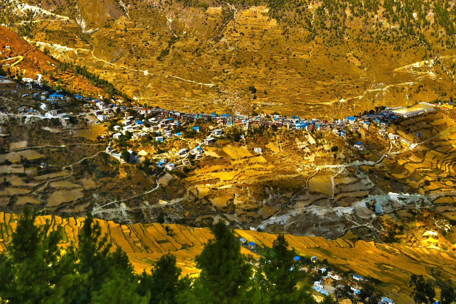
About 11 km with 840 m of climbing and 1,250 m of descent, in 4.5 to 6 hours. The trail drops through forest and fields to Pina, with rice terraces and stone houses. Pina has lodges and shops, and the air feels warmer after the ridges. Wash clothes and eat well, because tomorrow is the climb to the lake.
Day 6: Pina to Rara Lake (about 3,000 m)
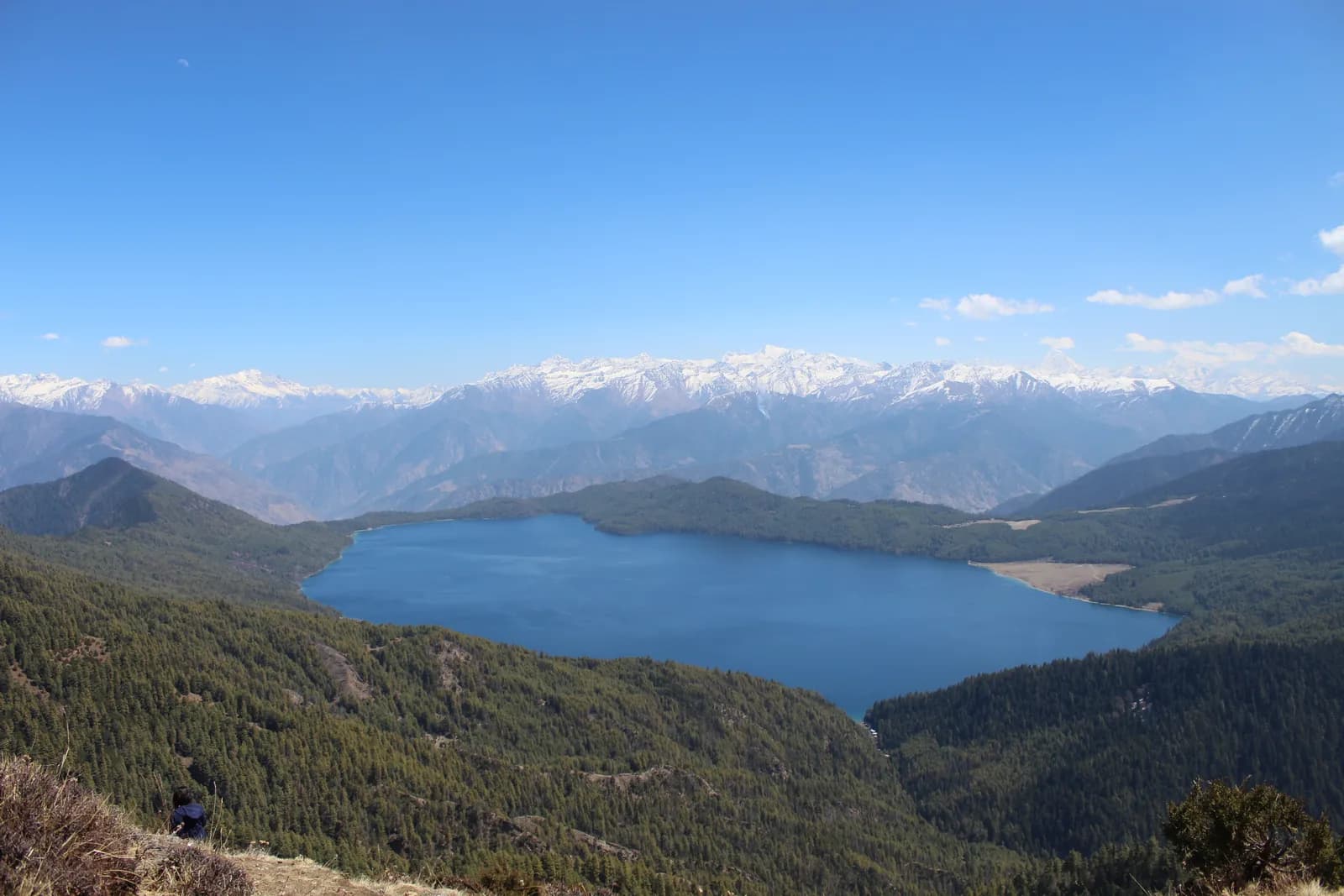
The climb of the trek: about 16 km with 1,300 m of climbing in 6.5 to 8 hours, through blue pine, spruce and rhododendron to the Murma area on the western shore. The first view of the lake, a deep blue basin ringed by forested hills, is the reward. Murma has lodges and a viewpoint. Rest, eat and walk along the shore in the afternoon.
Day 7: rest day at the lake
Walk the shore path, climb the ridge toward the Murma viewpoint for a wide view of the lake and the Chuchemara ridge, and enjoy the quiet. The lake is about 5 km long and up to 167 m deep, and its colour changes through the day. Look for birds at dawn and dusk and for Rara snow trout in the shallows. Do not swim, wash in or litter the lake.
Day 8: Murma to Talcha (about 2,700 m)
About 14 km with 420 m of climbing and 860 m of descent in 4.5 to 6 hours, passing the lake's eastern end and Gamgadhi. The route follows paths and rural roads and ends at the airstrip, which has a few lodges and a small airport office. Check your flight status and keep a spare day. Note that Wikipedia describes the airport as roughly 2.5 hours' walk from the lake, while the plan above covers a longer walk from the Murma lodges on the western shore, so confirm the start and end points with your guide.
Days 9 and 10: flights home
Day 9 is a 40 minute flight from Talcha to Nepalgunj, and flights are often delayed by cloud and wind. If your Kathmandu flight is the same day you connect at the airport, and otherwise you rest at a hotel. Day 10 is the hour-long flight to Kathmandu. Keep a spare day after the trek in case of delays.
Altitude and pacing
The sleep profile is gentle: about 2,350 m in Jumla, 3,000 m at Patmara, down to 2,770 m at Chautha and 2,370 m at Pina, then back up to 3,000 m at the lake. Because you fly directly to Jumla, the first night above 2,500 m comes on day 3, so the region page advises taking the first day slowly and drinking water. A rest day at the lake helps, and on this route it is already built in on day 7. If anyone in the group has a headache or poor sleep at Patmara, consider an extra night there rather than pushing on to the 19 km day. Our altitude basics cover the signs.
Seasons and what changes the plan
In April and May the lake is bright and the rhododendron is in flower, but Murma can still hold patches of snow in April. In October skies are clear and nights are frosty, and autumn colour appears above the lake. Lodges close toward the end of November, and from December to February the lake can freeze over and snow closes trails and flights. In the monsoon, rain falls on the lower slopes, flights are unreliable and paths are slippery. Ask your guide which sections are on road and which on footpath before you set out.
Permits and checkposts
Rara National Park needs an entry permit, and the area is not a restricted area. The park is protected by the Nepali Army, so you may pass checkposts, and your guide handles the paperwork. See the Rara permit guide for what is and is not confirmed, and carry your passport and copies.
Stretching or shortening the plan
You can walk the whole way from Jumla and return by flight from Talcha, as above, or add a few days in the Sinja valley, the old capital of the Khasa Malla kingdom. The region page treats a combination with Dolpo or Humla as a long expedition needing separate permits. If you are short of time you can fly into Talcha and walk to the lake, but only if flights run, and the sources we found describe the service as intermittent.
What to carry
Layers for frosty nights, a sleeping bag rated to about minus 10 C, rain gear even in October, and trekking poles for the descents on days 4 and 5. Carry cash in small notes, because villages seldom have change, and keep a day bag with water, a warm layer and snacks.
Where to go next
For more detail on the park, culture and seasons, read the Rara region guide. For other itineraries see the day-by-day hub, and for the other Nepalgunj-hub trek read the Upper Dolpo itinerary.