Dhaulagiri region trekking guide
What trekking in the Dhaulagiri region involves: the 17-day camping circuit over French Pass, who it suits, the permits it needs, the road to Beni and the two seasons that work.
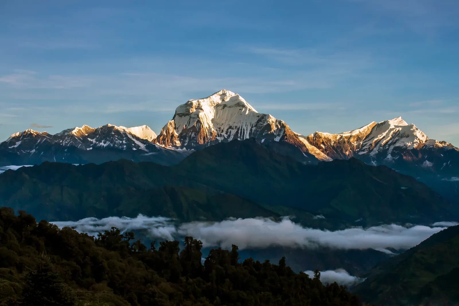
The Dhaulagiri region is the wild block of mountains west of the Kali Gandaki gorge in Myagdi District, and its one great trek, the Dhaulagiri Circuit, is a 17-day camping trip from Pokhara to Pokhara. It follows the Myagdi Khola to Italian Base Camp (about 3,660 m) and Dhaulagiri Base Camp (about 4,740 m), crosses French Pass (about 5,360 m) into the Hidden Valley, and finishes over Dhampus Pass (about 5,240 m) at Marpha and Jomsom. It needs the Annapurna Conservation Area permit but no restricted-area permit.
That is the planning answer: this is a hard trek for fit people who have already slept above 4,000 m, who can spare nearly three weeks and who are happy to live in a tent. It is not a teahouse trek and not a first Himalayan trek. If you are still choosing a route, our guide to which Nepal trek is right for you is the place to start, and the Dhaulagiri region page holds the reference data behind this article.
Dhaulagiri Circuit का खुला ट्रिपहरू
साथी खोजिरहेका ट्रेकरहरूले पोस्ट गरेका वास्तविक ट्रिपहरू।
The mountain and the valley
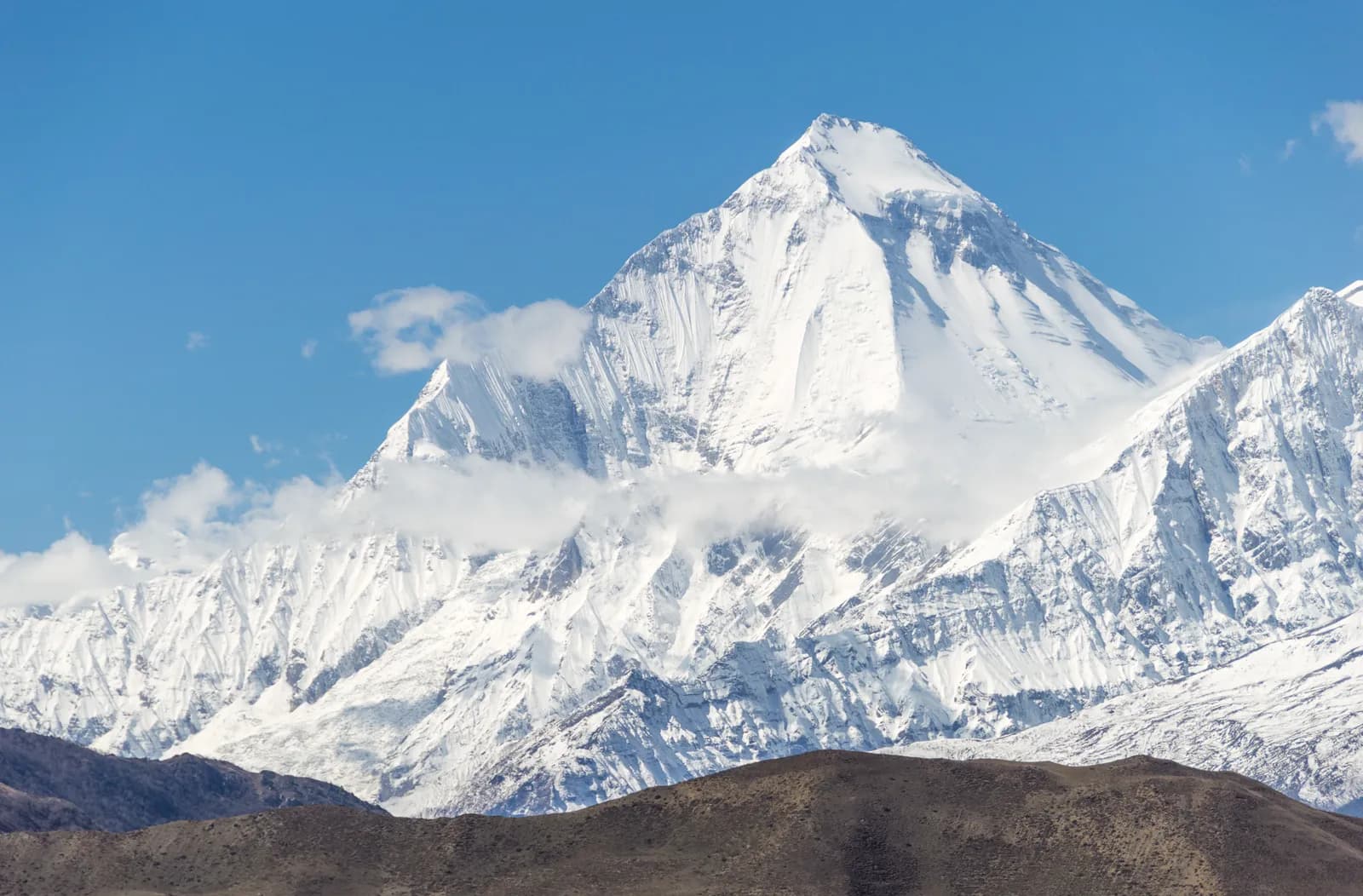
Dhaulagiri I, at 8,167 m, is the seventh-highest mountain on Earth and the highest one that lies wholly inside Nepal. It was long believed to be the highest of all, until Kangchenjunga and then Everest were measured. The first ascent was made on 13 May 1960 by a Swiss, Austrian and Nepali expedition. The Kali Gandaki runs between Dhaulagiri and Annapurna I, and the summit stands roughly 7,000 m above the river, one reason the gorge is often called the deepest in the world.
The southern foothills belong to Myagdi District, where Magar farming villages stand on terraces from about 300 m up to the forest line. Beni, at the meeting of the Myagdi Khola and the Kali Gandaki, is the market town and the last place to buy supplies. Further west lies Dhorpatan, a hunting reserve of open high pastures between Myagdi, Baglung and Rukum districts, which the region page covers as a place to understand rather than a route to plan from a desk.
What the circuit is like
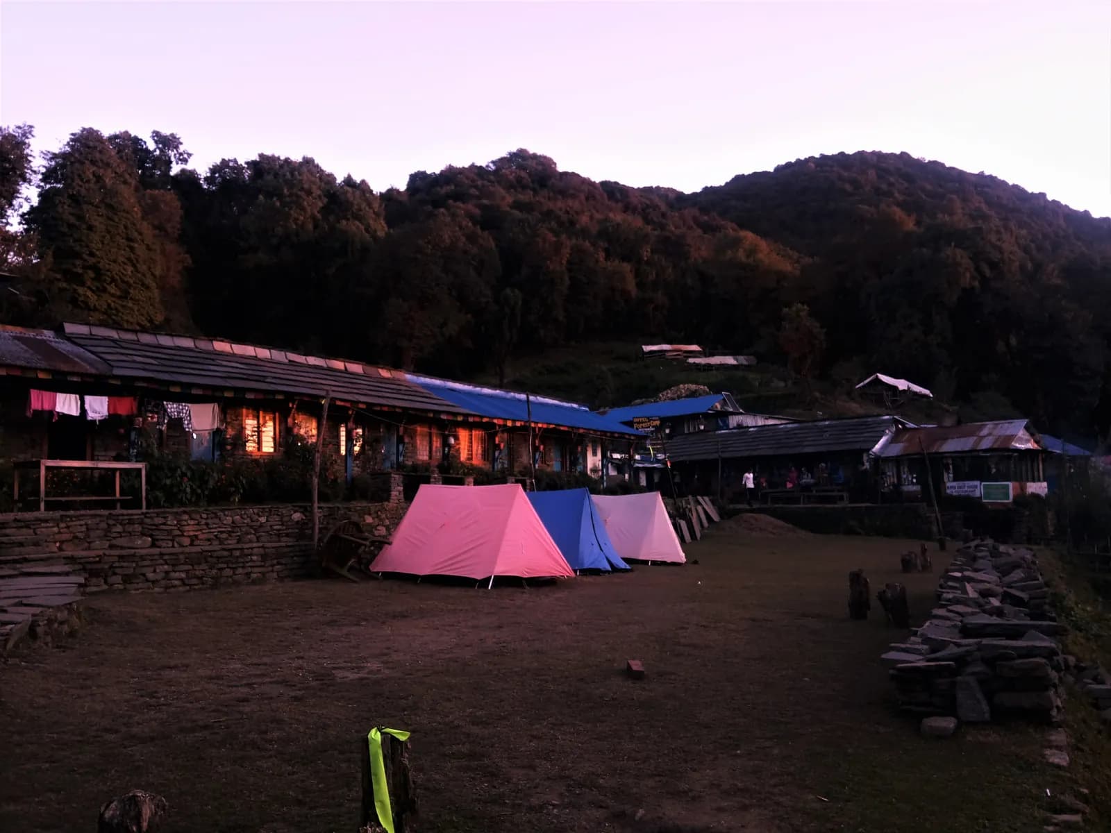
The first three walking days are the gentlest: a jeep road and farmland above the Myagdi Khola through Babiachaur and Dharapani, with suspension bridges, millet terraces and stone houses. The trail steepens at Muri (about 1,800 m), the last village of any size, and enters forest at Boghara and Dobang. Dobang, at about 2,520 m, is a wilderness campsite with no building, so from there to Marpha you sleep in tents and the crew cooks every meal.
Above Choriban Khola (about 3,110 m) the valley opens into moraine and the north face of Dhaulagiri appears. The stage to Italian Base Camp covers only about 3.7 km on our map but takes around seven hours, because the ground is boulders and the altitude slows everyone. After a rest day the route crosses the moraine via Glacier Camp (about 4,210 m) to Dhaulagiri Base Camp, then rests again. The crux follows: a long early start over steep snow and scree to French Pass, a night in the Hidden Valley at about 5,200 m, and the descent over Dhampus Pass to Yak Kharka and Marpha. Marpha is a flat-roofed Thakali village with apple orchards, where lodges and hot showers return.
Who this trek suits
The route is rated hard on the pack. You sleep above 3,000 m on seven nights, above 4,000 m on four, and at the Hidden Valley's altitude on one, and operators quote night lows of minus 15 to minus 25 degrees Celsius there. You need months of hill walking with a loaded pack, comfort on loose scree and snow, and ideally a previous trek above 4,500 m. People who dislike cold nights, long days or the absence of a lodge to retreat to should choose the Annapurna region instead.
Seasons in practice
Late March to early May brings rhododendron in the lower forest and clear mornings, though snow on the passes is still deep in March and cloud builds in the afternoon in May. October to mid-November is the most settled window for the crossing, with the coldest nights. December to February and June to September are not advised: winter locks the passes, and the monsoon brings leeches and landslides on the approach. Even in season, snow, wind and whiteout are possible on the passes, so the guide decides each pass day.
Permits and rules
The Dhaulagiri Circuit is not a restricted area. You need the Annapurna Conservation Area Project entry permit, which the NTNC e-permit page lists at NPR 3,000 for foreigners (NPR 1,000 for SAARC nationals, double at a check post), and a TIMS card issued by an agency, for which the Nepal Tourism Board lists NPR 2,000 for foreigners (SAARC nationals NPR 1,000). Operators fold both into the price. The sourced figures are on our permits overview and the ACAP permit guide.
On the guide: for national parks and conservation areas the written rule is the Nepal Tourism Board announcement of April 2023 (we found no separate Department of Immigration or DNPWC notice), and 2026 operator reports say checkpoints enforce it in Annapurna (ACAP) and Langtang, the strictest, and most other parks, but not in Khumbu, where the municipality opted out (checked 19 October 2026). Checkposts are sparse on this route and appear when it joins the Annapurna Circuit near Marpha. In practice the rule matters little, because crevassed moraine, two high passes and unmarked sections mean every operator we read supplies a licensed guide, a cook and porters. The guide rule by region page keeps the dated wording.
Getting there and away
Pokhara to Beni is a four-to-five-hour drive, or eight to nine hours by bus from Kathmandu. The trek ends at Jomsom, where the flight to Pokhara takes 20 to 25 minutes but runs only in the morning before the wind rises, and cancellations are common. Keep one spare day or plan the long jeep ride down the Kali Gandaki. Our Pokhara to Jomsom flight versus jeep guide compares the two.
What it costs and how to share it
Because everything is carried from the road, the cost is an agency price rather than lodge bills. The pack's dated cost data (checked 18 October 2026) uses a guide day rate of NPR 4,000 to 6,000 and a porter day rate of NPR 2,100 to 3,400, with 16 guide days and 15 porter days on this route, and a Jomsom to Pokhara flight at about USD 120 to 200. Those are planning ranges from operator guides, not quotes, and the camping crew, tents and food are priced by the agency.
That structure is exactly why a partner helps: the guide, cook and porter costs do not shrink for a smaller group, so one more person cuts everyone's share sharply. If you want to share them, post your dates and pace on the Dhaulagiri partner page, read how to split guide and porter costs fairly between partners, and use the trekking partner hub to see how matching works. Agree who pays the agency and what happens if someone turns back, because the passes make that a real possibility.
Altitude and safety
The circuit gains height quickly after Boghara, which is why the two scheduled rest days matter. If the weather closes French Pass, the retreat is back down to Dhaulagiri Base Camp, not forward. Stonefall in the narrow gorge between the base camps, loose moraine and crevasses are the main hazards, so carry micro-spikes or light crampons, poles and a sleeping bag rated well below zero. Insurance must cover helicopter evacuation above 4,000 m. Read our altitude sickness basics before you go and never use Diamox as a substitute for slow ascent.
Combining it with other treks
Marpha and Jomsom put you on the Annapurna Circuit, so some trekkers continue north to Muktinath or south by the Tatopani and Ghorepani trail. Stacking treks without extra rest days is demanding. For a gentler high-altitude comparison read Annapurna Circuit versus Manaslu Circuit, and for a wider view of the options start from the Nepal trekking regions guide.
Verdict
Choose Dhaulagiri if you want a serious, quiet, fully supported camping trek and you already know how your body behaves at 4,500 m. Skip it if you want lodges, flexibility or a short trip. Whatever you choose, book at least one spare day at each end for the Jomsom flight and the Beni road.