Manaslu region trekking guide: circuit, Tsum Valley and permits
The Manaslu region has two treks: the 14-day Circuit over Larkya La at 5,106 m and the 13-day Tsum Valley. Permit, guide rule, road and best months explained.
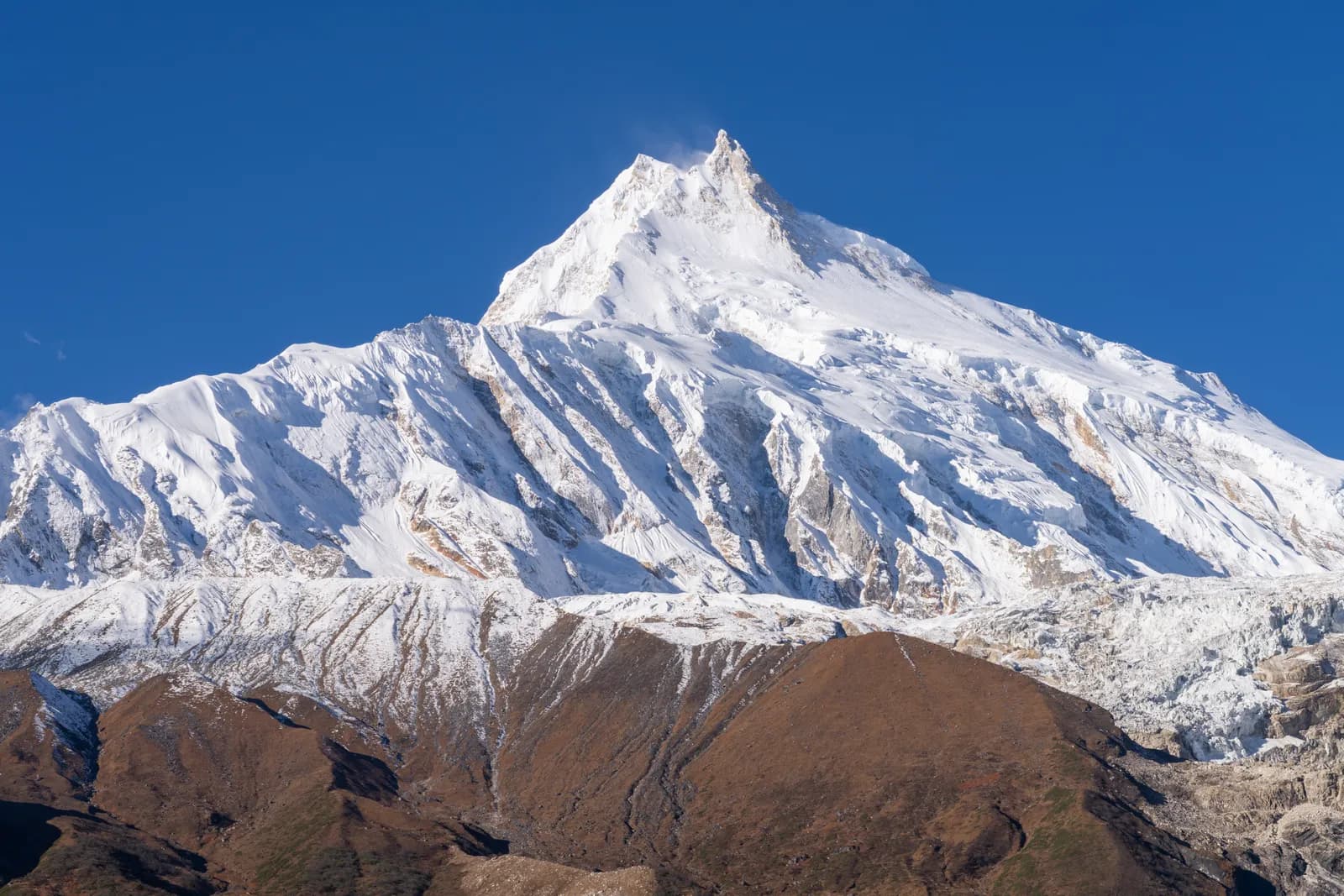
The Manaslu region in Gorkha District is a remote, partly restricted trekking area around Manaslu (8,163 m), the eighth-highest mountain in the world. Its main trek, the Manaslu Circuit, takes 14 days from Kathmandu, climbs the Budhi Gandaki valley to Samagaun and crosses Larkya La (5,106 m).
A side trek, the Tsum Valley, takes 13 days. Both need a restricted-area permit, a licensed guide through a registered agency and a long jeep ride from Kathmandu to Machha Khola. October, November and March to May are the best months.
Want company on the trail? Find a trekking partner for the Manaslu Circuit.
Below is how the region fits together, which trek suits whom and what the paperwork and the road involve. For stage details, use the Manaslu Circuit itinerary and the Tsum Valley itinerary.
Trip terbuka di Manaslu Circuit Trek
Trip sebenar yang disiarkan oleh pendaki yang mencari rakan.
What kind of place this is
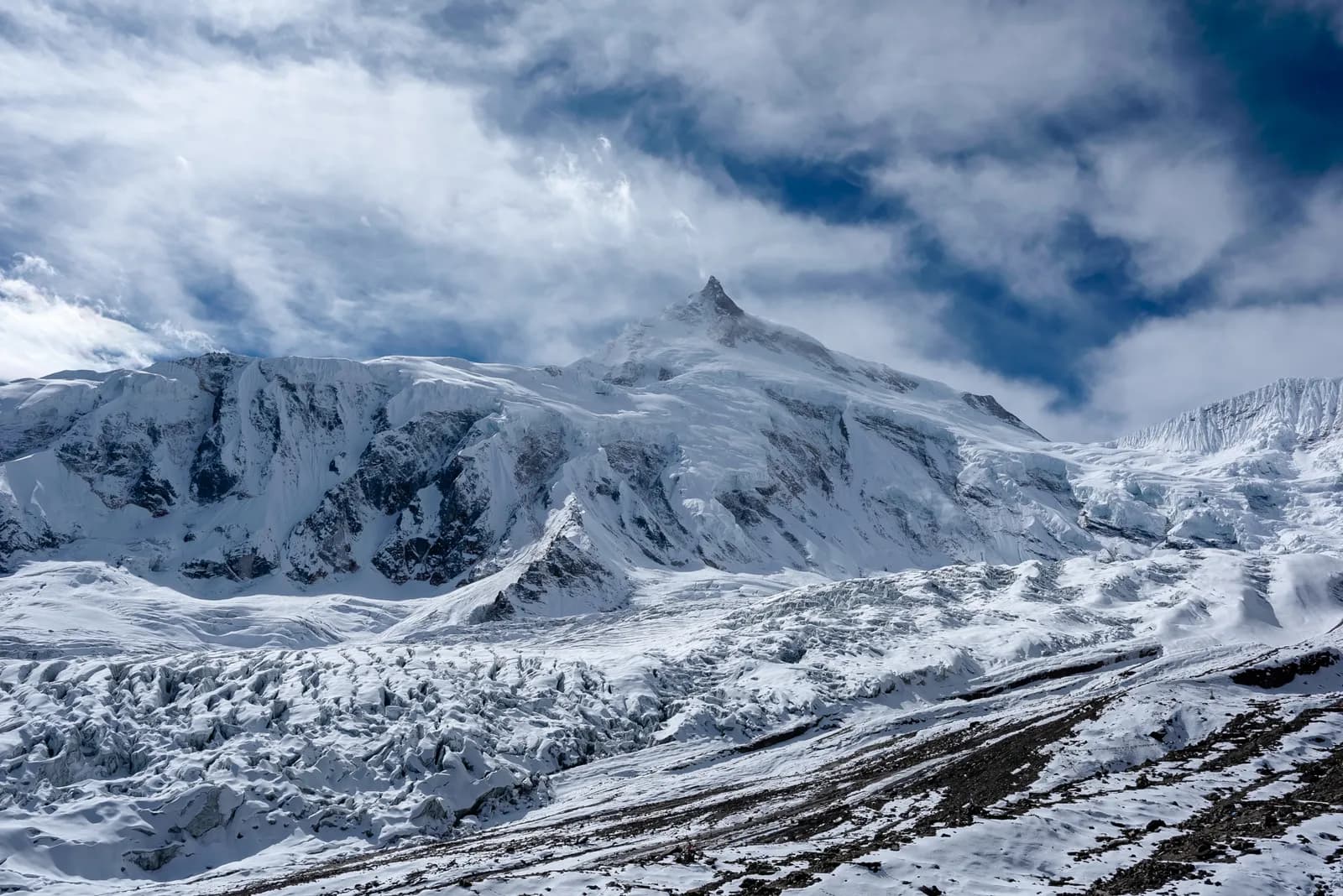
The Manaslu Conservation Area was established in 1998 and covers about 1,663 km2. It rises from subtropical valleys at around 1,400 m to the summit of Manaslu. Snow leopard, Himalayan tahr and musk deer live here, with more than 110 bird species and more than 1,500 flowering plants.
The people change as you climb. The lower valley is settled by Gurung and other hill communities. Above Namrung the villages are Tibetan-speaking and Buddhist, with monasteries, long mani walls and prayer flags. Samagaun, Samdo and Lho are old trading communities. Manaslu was first climbed on 9 May 1956 by Toshio Imanishi and Gyalzen Norbu of a Japanese expedition, and the region has had a long link with Japan since.
What distinguishes Manaslu from Annapurna is how little there is between you and the mountains. Lodges are simpler and smaller, menus shrink above Namrung to dal bhat, noodles, potatoes, eggs and tea, and there is no air access at all. That remoteness is the appeal, and it is also why the region is best for people who have already walked a few multi-day treks.
Two treks, one valley
| Trek | Days | Highest point | Character |
|---|---|---|---|
| Manaslu Circuit | 14 | Larkya La, 5,106 m | A restricted-area circuit, remote, with a high pass |
| Tsum Valley | 13 | Mu Gompa, about 3,680 m | A hidden side valley of monasteries, with no pass |
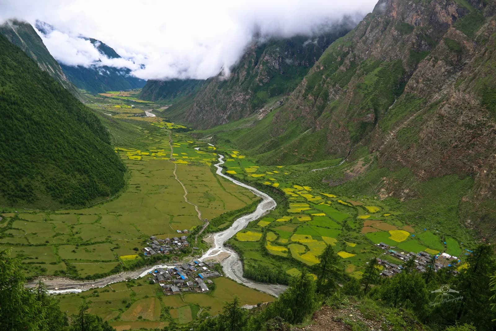
The Circuit runs from Machha Khola up the Budhi Gandaki through Jagat, Deng, Namrung and Lho to Samagaun, with rest days at Samagaun and Samdo, then crosses Larkya La from Dharamsala to Bimthang and descends to Tilije and Dharapani. It exits into the Annapurna region and finishes at Besisahar. The Tsum Valley turns off at Philim and runs north through Lokpha, Chumling, Chhokangparo and Nile to Mu Gompa, then returns the same way, with Rachen Gompa as the turning point.
The choice is about altitude, scenery and culture. The Circuit has the high pass, the glaciers and the bigger mountain views. The Tsum Valley has monasteries, mani walls and a gentler profile, and its sleeping altitudes stay at or below about 3,300 m on most nights, so it is the better choice if you are wary of Larkya La. Our comparison of the Manaslu Circuit versus the Tsum Valley goes into the trade-offs, and the Annapurna Circuit versus the Manaslu Circuit helps if you are choosing between regions.
Permits and the guide rule
The Manaslu Circuit passes through a restricted area, so the permit is more than a ticket. It is issued by the Department of Immigration, and only through a registered trekking agency, which submits your passport details and your guide's licence number. You also need Manaslu Conservation Area (MCAP) and, for the final section, Annapurna Conservation Area (ACAP) entry permits. As of October 2026 both entry permits cost NPR 3,000 for foreigners, and a TIMS card may be requested where it is required. The Nepal Tourism Board lists the TIMS card at NPR 2,000 for foreigners (SAARC nationals NPR 1,000), and the agency that issues it may add a service charge.
The restricted-area fee depends on the season. As of October 2026, from September to November the Manaslu permit is USD 100 per person per week plus USD 15 per day beyond one week, and from December to August it is USD 75 per week plus USD 10 per day beyond one week. The Tsum Valley has its own, lower permit: USD 40 per week plus USD 7 per extra day in September to November, and USD 30 per week plus USD 7 per extra day from December to August. Our Manaslu permit guide works through the combinations.
On the guide rule, the wording is specific. A licensed guide through a registered agency is required in restricted areas, and the Department of Immigration reminded stakeholders of this in June 2026. Individual foreigners have been able to apply for restricted-area permits since 22 March 2026, where previously a group of two was the minimum, but a guide is still required and the application still goes through an agency. We checked this on 19 October 2026 and press reports are the main source for the March change, so confirm it before you book. The page on the guide rule by region lists the sources.
Getting there and out
There is no airstrip. The road from Kathmandu to Machha Khola takes 8 to 9 hours by jeep via Dhading, Arughat and Soti Khola, and it is rough, dusty and often disrupted by landslides in the monsoon. As of October 2026 the cost data gives a local bus at about USD 10 per person and a private jeep at about USD 180 to 220 per vehicle each way. A private jeep makes sense for a group, because the price is per vehicle. Dhading and Gorkha were among the districts affected by the August 2026 floods on the Trishuli river, according to the Wikipedia account of the event, so ask your agency about the state of the roads before you book transport.
The Circuit finishes with a jeep from Dharapani or Tilije to Besisahar, then 6 to 7 hours by road to Kathmandu or on to Pokhara. Our guide to the road from Kathmandu to Soti Khola describes the first day in detail, and Kathmandu to Besisahar covers the way out.
Altitude, in numbers
| Stop | Altitude | Note |
|---|---|---|
| Machha Khola | 870 m | Start of the walk |
| Namrung | 2,630 m | Permit checks, Tibetan influence begins |
| Samagaun | 3,530 m | Rest day, day hikes |
| Samdo | 3,875 m | Second rest day |
| Dharamsala | 4,470 m | Sleep before the pass |
| Larkya La | 5,106 m | Highest point |
| Bimthang | 3,720 m | End of the descent |
The route is built around two rest days, at Samagaun and Samdo, with day hikes to Pungyen Gompa, Birendra Lake or toward Manaslu Base Camp. The crossing itself is a day of 8 to 10 hours: you leave before dawn, climb about 700 m from Dharamsala, then drop about 1,400 m to Bimthang. On that day the weather matters more than the schedule. If wind, fresh snow or a symptom changes the picture, turn back.
The general rules from the Wilderness Medical Society and CDC Yellow Book apply: above 3,000 m, keep sleeping gains modest, add rest days, never ascend with symptoms and descend if they worsen. Read the acclimatisation schedule and the page on altitude sickness basics before you go.
Seasons
October is the most popular month and the most stable. November is colder and quiet, and Larkya La is cold and windy. March can bring deep snow on the pass, and April is the spring peak, though snow can linger early in the month. May is warmer and hazier with the pass usually clear. The monsoon from June to August brings heavy rain, landslides on the lower trail and cloud. September starts wet and icy on the pass. December to February is very cold with deep snow, and the upper villages are often empty. Our best time for the Manaslu Circuit looks at the details.
Lodges, food and money
Teahouses are family-run and basic, and the ones at Samagaun, Samdo and Dharamsala are small. Rooms are cheap if you eat in the lodge. As of October 2026 the cost data gives a dal bhat of NPR 700 to 1,500 between 2,500 and 3,800 m and NPR 1,100 to 1,800 above 3,800 m, and a guide day of NPR 3,400 to 4,700 with a porter day of NPR 2,100 to 3,400. These are operator market ranges, not official rates. There are no cash machines on the route, so carry rupees. Mobile coverage is patchy: expect some signal at Jagat, Lho and Samagaun and little on the valley floor. Carry a power bank and a paper map.
Sharing makes this region cheaper
The restricted-area permit, the guide and the jeep are all shared costs. A guide costs the same for one trekker as for two, and a private jeep to Machha Khola costs the same for one or four, so a partner changes the arithmetic sharply. Use the Manaslu Circuit partner page to post your dates and pace, and see how to vet a trekking partner before you commit to ten days of walking together. Our guide for finding a partner for the Manaslu Circuit goes further.
Is this the right region for you?
Choose Manaslu if you have trekked before, you want a remote high circuit with a real pass, and you are comfortable with simple lodges and a rough road. Choose the Tsum Valley if you care more about monasteries and culture than about altitude. If you are new to the Himalaya, start with a lower, more serviced trek and come back. The Manaslu region page holds the data behind this guide, and the region guides category lists the other regions, with the trekking regions overview as the starting point.