Nar Phu valley trek itinerary, day by day
An 11-day Nar Phu itinerary from Kathmandu via Besisahar and Koto to Phu and Nar, over the Kang La at about 5,306 m to Ngawal and Manang, with two rest days, permits and the pass-day reality.
The Nar Phu itinerary here takes 11 days from Kathmandu. Two days of driving take you to Koto (about 2,600 m) via Besisahar, five days of walking take you up the Nar Phu gorge to Phu (about 4,080 m) and Nar (about 4,110 m), with a rest day at each, and the Kang La (about 5,306 m) takes you over to Ngawal and a short walk to Manang. It is a hard, remote, restricted-area trek through a Tibetan-influenced valley, and the plan is built around two rest days and a very long pass day.
The route data is on the Nar Phu Valley route page, and the nearby Manang valley is covered in the Manang valley guide.
Nar Phu Valley Trek의 모집 중인 여행
파트너를 찾는 트레커들이 올린 실제 여행입니다.
The 11 days at a glance
| Day | From - to | Time | Sleep |
|---|---|---|---|
| 1 | Kathmandu - Besisahar | 6-7 h drive | 760 m |
| 2 | Besisahar - Koto | 6-7 h drive | 2,600 m |
| 3 | Koto - Meta | 7-8 h | 3,560 m |
| 4 | Meta - Phu | 6-7 h | 4,080 m |
| 5 | Phu, rest day | 3-5 h | 4,080 m |
| 6 | Phu - Nar | 8-9 h | 4,110 m |
| 7 | Nar, rest day | 3-5 h | 4,110 m |
| 8 | Nar - Ngawal over the Kang La | 7-8 h | 3,660 m |
| 9 | Ngawal - Manang | 3.5-5 h | 3,540 m |
| 10 | Manang - Besisahar | 8-9 h drive | 760 m |
| 11 | Besisahar - Kathmandu | 6-7 h drive | 1,400 m |
The walking times are estimates from distance and climb, so expect real times to vary with pace, load and weather.
Days 1 and 2: Besisahar and Koto
Day 1 is the drive to Besisahar, the headquarters of Lamjung District, about 6 to 7 hours along the Prithvi Highway and the Marsyangdi valley. Day 2 continues by jeep up the Marsyangdi through Syange, Tal, Dharapani and Chame to Koto, about 6 to 7 hours on a rough road, as the scenery turns from subtropical to alpine. Koto is a small village near the entrance to the restricted valley, with a checkpost where your permits are inspected. Rest and keep a warm layer handy. If landslides block either road, you will need a spare day, and the Prithvi Highway was disrupted by the August 2026 floods on the Trishuli river, so ask your agency about its current state. See Kathmandu to Besisahar for the Annapurna Circuit for the road.
Day 3: Koto to Meta (about 3,560 m)
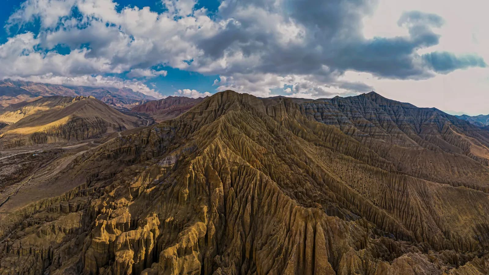
A long first walking day of about 16 km. The trail enters the Nar Phu gorge, climbing and dropping along cliffs above the river on narrow paths and bridges, with pine forest and waterfalls. The elevation model shows large ups and downs, so the day takes 8 to 9 hours by the route notes. Carry lunch and water, keep a steady pace and avoid stopping under loose rock. Meta is a small village of stone houses.
Day 4: Meta to Phu (about 4,080 m)
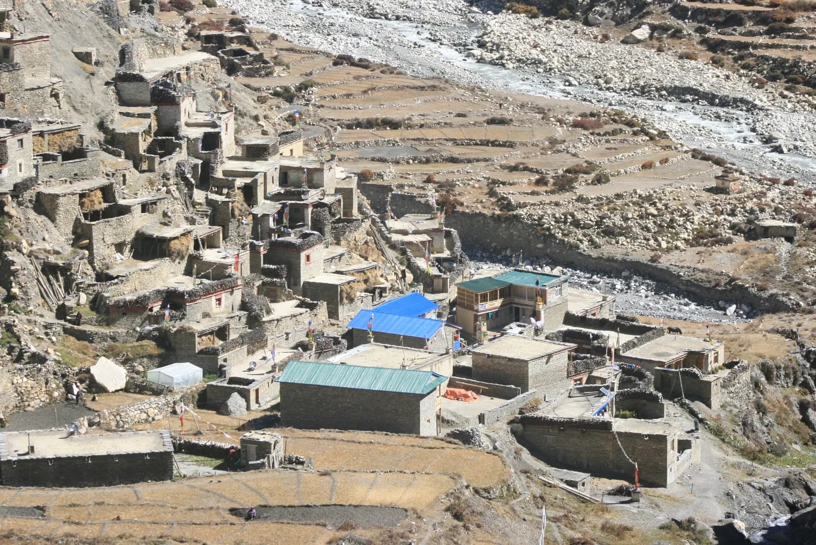
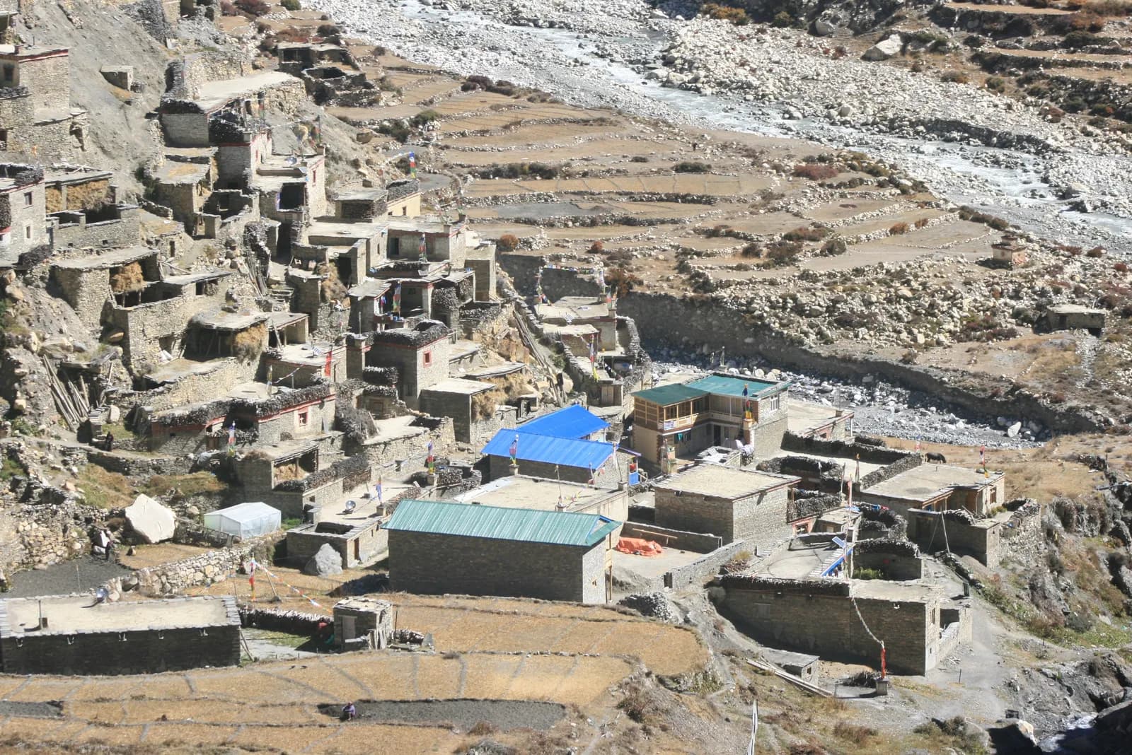
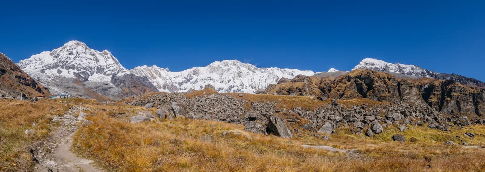
About 18 km via Kyang, with about 1,200 m of climbing. The valley opens as you leave the forest, with cliffs, chortens and the first Tibetan-style stone houses. Kyang is a seasonal herders' settlement. Phu is a village on a terrace with an old monastery and a view of Himlung Himal. This is the highest sleeping point so far, so watch for symptoms and rest early.
Day 5: rest day at Phu
Visit Phu Gompa, walk through the lanes of stone houses and chortens, and take an easy hike up the valley toward the Himlung Himal base camp trail, returning by the afternoon. The aim is to sleep at the same height as the night before and let your body adapt. Ask before taking photographs, and walk clockwise around chortens. Use the quiet day to dry gear and check your pass plan.
Day 6: Phu to Nar (about 4,110 m)
The longest walk before the pass. About 21 km with about 1,400 m of climbing and 1,270 m of descent, 8 to 10 hours. The trail follows the valley back to the junction below Phu, then climbs on a high path to Nar, a larger village with a gompa and stone houses. Carry lunch and water, and keep a steady pace.
Day 7: rest day at Nar
Walk through the village, visit the gompa and take an easy hike toward the Kang La base for views of the valley and the Annapurna range. Check gear, charge power banks if the lodge has solar power and talk to your guide about weather and snow on the pass.
Day 8: the Kang La to Ngawal (about 3,660 m)
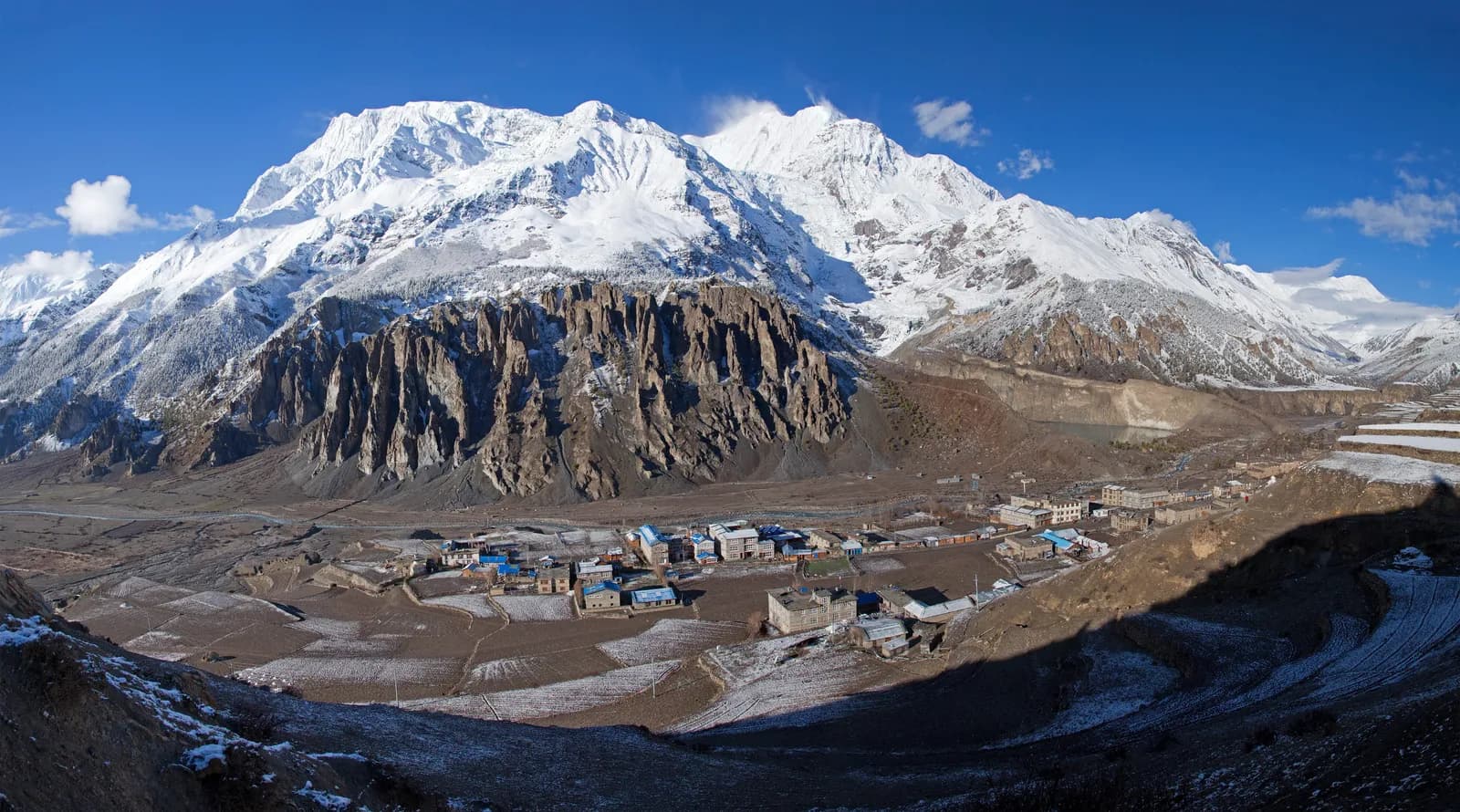
The pass day. From Nar the trail climbs to the Kang La at about 5,306 m and descends to Ngawal at about 3,660 m, about 15 km with about 1,100 m of climbing and 1,630 m of descent, taking 6 to 8 hours or more. Start before dawn, carry lunch, water and warm layers, and move steadily. The pass has views of Annapurna II, Annapurna IV and Gangapurna, and the descent is steep and long. Ngawal sits on the main Annapurna trail.
Day 9: Ngawal to Manang (about 3,540 m)
A short walk of about 12 km via Humde, joining the Annapurna Circuit trail and passing the airstrip, with views of the Annapurna range and Gangapurna Lake. Manang is a busy village with bakeries, shops, a Himalayan Rescue Association aid post and lodges. You may meet Annapurna Circuit trekkers. Days 10 and 11 are the jeep ride to Besisahar (8 to 9 hours on a rough road) and the drive to Kathmandu.
What decides this trek
Two numbers matter. The first is 8 to 10 hours, the walking time on day 6, and 6 to 8 hours or more on day 8. Nar Phu is not hard because the terrain is technical; it is hard because the days are long at altitude, with large climbs and descents. The second is the sleeping profile: Meta at about 3,560 m, then Phu and Nar above 4,000 m, with the pass between them and the road home.
Use the rest days, and use them well. Both are at about the same height as the previous night, which is what the Wilderness Medical Society and CDC Yellow Book guidance asks for above 3,000 m: modest sleeping gains, a rest day every few days and no ascent with symptoms. Descend if symptoms worsen. Read altitude sickness basics, and use snow and high-pass conditions to understand how pass conditions are judged. In early spring the Kang La may hold snow, and a pair of microspikes can help; see crampons and microspikes for high passes.
Permits and the guide rule
Nar Phu is a restricted area inside the Annapurna Conservation Area. You need a restricted-area permit through a registered agency, an Annapurna Conservation Area permit and a TIMS card where it is required. As of October 2026 the Nar Phu permit (for Narpa and Nasho rural municipalities) costs USD 100 per person per week plus USD 15 per day beyond one week from September to November, and USD 75 per week plus USD 15 per day beyond one week from December to August. Our route data counts eight permit days. The ACAP permit is NPR 3,000 for foreigners as of October 2026, NPR 1,000 for SAARC nationals, with online payment adding 2.9 percent and check-post issue costing double. The Nepal Tourism Board lists the TIMS card at NPR 2,000 for foreigners (SAARC nationals NPR 1,000), and the agency that issues it may add a service charge.
On the guide rule, a licensed guide through a registered agency is required in restricted areas, and the Department of Immigration reminded stakeholders of this in June 2026. Individual foreigners have been able to apply for restricted-area permits since 22 March 2026, but the agency and the guide are still required; press reports are the main source for the March change, so confirm it before booking. See the guide rule by region.
Season, lodges and cost
September to November has the clearest weather. March to May is possible, but the Kang La may hold snow in early spring, and the road can be blocked by landslides in the monsoon. Winter brings heavy snow on the pass. Lodges and homestays at Meta, Kyang, Phu and Nar are simple, with dal bhat, noodles, tsampa and tea, and some agencies carry tents and a cook for flexibility. Carry cash for the whole trek, because there are no machines beyond Besisahar and Manang. As of October 2026 the Annapurna cost data gives a dal bhat of NPR 700 to 1,200 between 2,500 and 3,800 m and NPR 1,300 to 1,600 above 3,800 m, with a guide day of NPR 2,700 to 4,000 and a porter day of NPR 2,100 to 3,400 as operator market ranges, not official rates. The route data counts 11 guide days and 7 porter days.
Sharing, packing and extensions
Pack a sleeping bag rated to about -15 C, a down jacket, gloves, a hat, sunglasses, gaiters, poles, a headlamp and water purification; see the Nepal trek packing list. The guide, the permit and the jeeps are the shared costs, so post your dates on the Nar Phu partner page. From Manang you can continue over Thorong La, which adds about a week and is covered in the Annapurna Circuit itinerary, or add a side trip to Tilicho Lake, covered in the Tilicho Lake itinerary. The route guides category and the day-by-day itineraries hub list the other plans.
For the wider area see the Annapurna region page and the Annapurna Circuit route page, which Nar Phu joins at Ngawal.