Jomsom to Muktinath and Kagbeni: walking, jeeps and timing
How to get from Jomsom to Kagbeni and Muktinath: the walk, the jeep road, where the Upper Mustang permit days start and how the Annapurna Circuit uses the same valley, with timings from our route data and what no source prices.
From Jomsom you can reach Kagbeni on foot in 3 to 4 hours on our Upper Mustang plan, and Muktinath is a climb of roughly 1,000 m above Jomsom, so the question is less "which road" than "walk, ride or mix them". Jeeps run along this valley, but we found no published fare, and we will not invent one. This guide explains how the three villages relate, what our route data says about the walking times, where the Upper Mustang permit days start and how to plan the day whether you arrived by plane or by trail. All figures are from our route and region pages, verified 19 October 2026.
For how to reach Jomsom in the first place, read our Pokhara to Jomsom flight versus jeep guide. This article starts when you are on the ground.
Upper Mustang Trek (Lo Manthang)の募集中トリップ
仲間を探しているトレッカーが投稿した実際のトリップです。
How the three places fit together
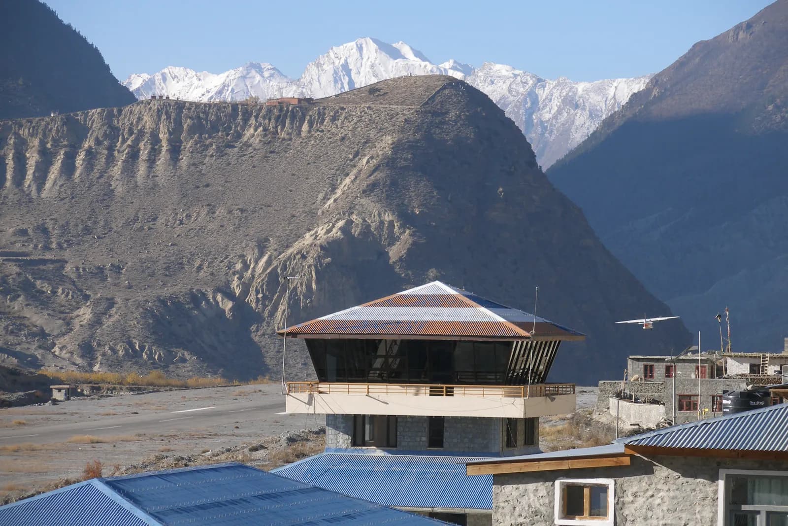
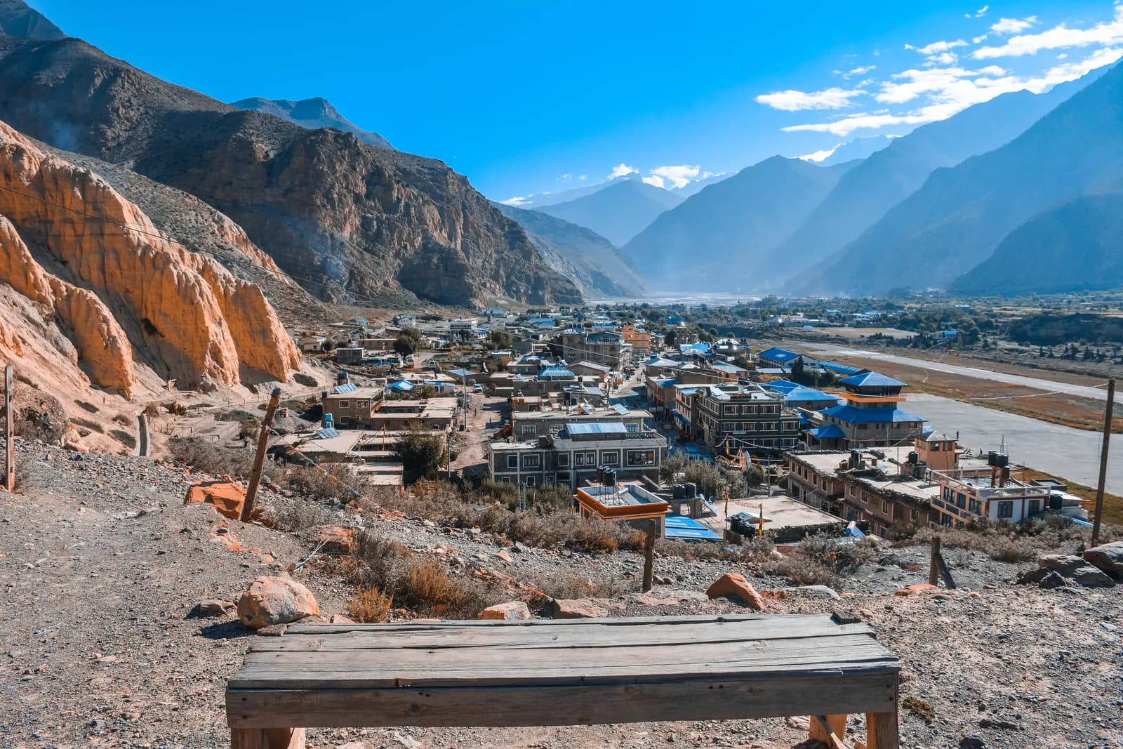
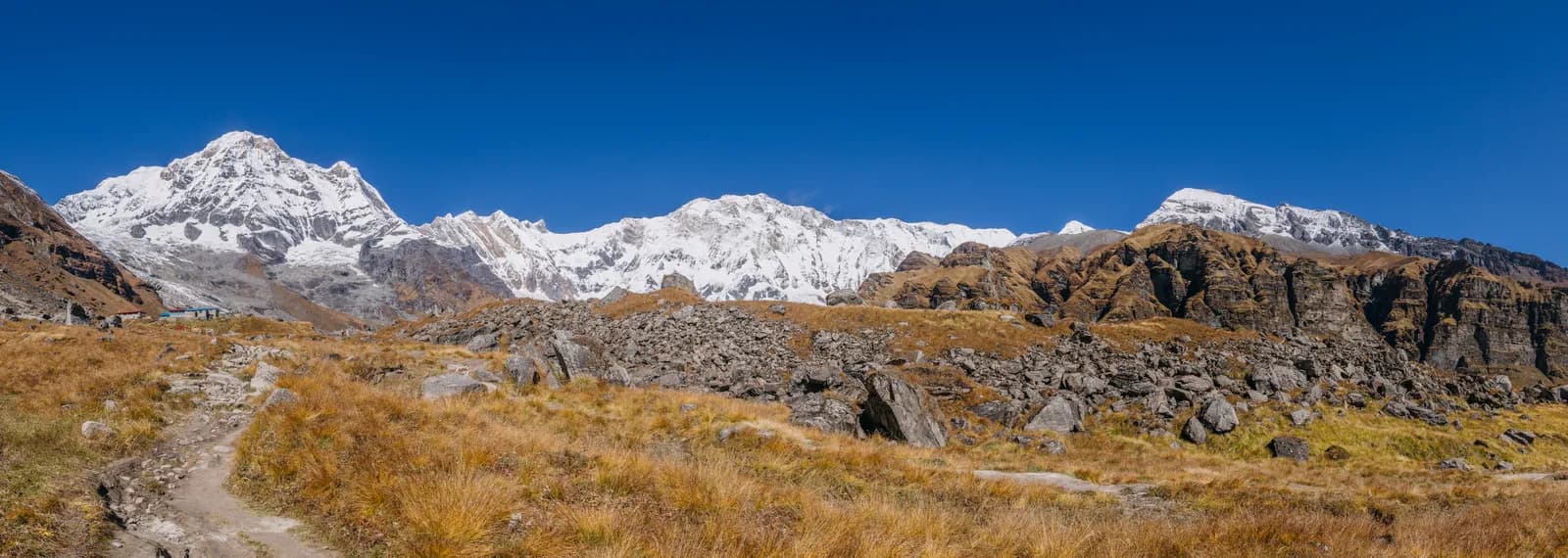
Jomsom sits at about 2,720 m on the Kali Gandaki river, and it has the airstrip. Kagbeni, at about 2,810 m, is a village north of Jomsom where the Upper Mustang restricted area begins. Muktinath, at about 3,800 m, is the pilgrimage site reached from Kagbeni side or from the Thorong La.
| Segment | Time on foot (our plans) | Altitude change |
|---|---|---|
| Jomsom to Kagbeni | 3 to 4 hours (Upper Mustang day 1 includes the walk after the flight) | about 2,720 to 2,810 m |
| Kagbeni to Jomsom | included in Muktinath to Jomsom, 5 hours via Kagbeni | about 2,810 to 2,720 m |
| Muktinath to Jomsom | 5 hours via Kagbeni (Annapurna Circuit day 10) | about 3,800 to 2,720 m |
| Thorong Phedi to Muktinath | 8 to 10 hours over Thorong La, 5,416 m (day 9) | about 4,540 to 3,800 m over the pass |
The valley is a gentle walk at first and then climbs towards Muktinath. The wind in the Kali Gandaki gorge builds through the day, which is why flights are in the morning and why walkers start early.
Walking from Jomsom to Kagbeni
On our Upper Mustang plan, day one is a flight from Pokhara to Jomsom, then a walk of 3 to 4 hours to Kagbeni, where the restricted area starts. The trail follows the riverbed and the road, and in the afternoon the wind is strong, so start straight after landing. Our plan puts the night at Kagbeni, at about 2,810 m, so you begin Mustang already a little higher than Jomsom.
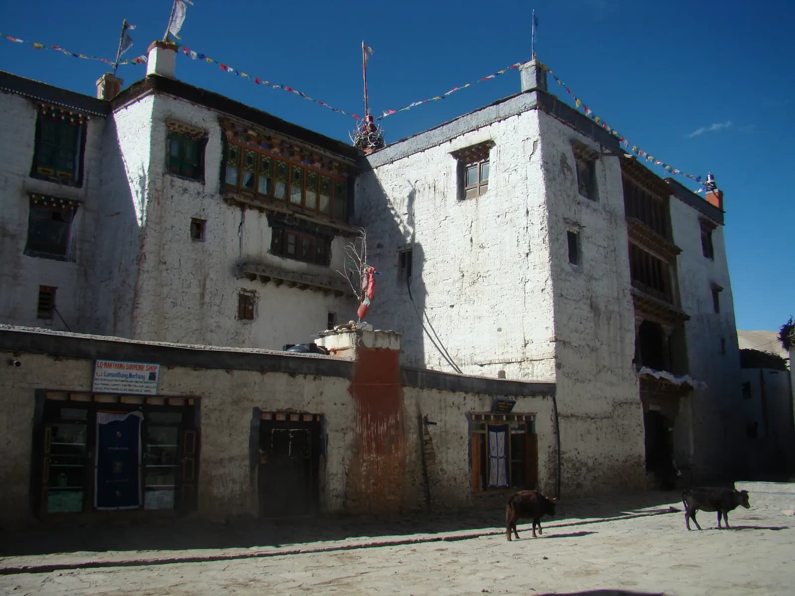
You can also drive. A road runs from Kagbeni onward to Lo Manthang according to our region note, and jeeps serve the valley, but we found no published fare, so we show it as a line to check. Many agencies include a jeep leg in a package, and trekkers who have flown in and want an easier first day sometimes take it. If your plan has a tight schedule or you are unwell, ask your agency to book the vehicle before you leave Pokhara.
Where the Upper Mustang permit begins
The Upper Mustang permit is for the restricted area beyond Kagbeni, and the permit days start there. The Nepal Tourism Board lists it at USD 50 per person per day (Lomanthang, Lo-Ghekar Damodarkunda and Baragung Muktichetra), although the trade body TAAN lists a different structure, so confirm with your agency. A Restricted Area Permit from the Department of Immigration through a registered agency, and a licensed guide at all times, are part of it, and press reports say individual foreigners can apply since a March 2026 notice, but a guide is still required. See our Upper Mustang permit guide and the guide rule page.
Because the permit is charged per day from Kagbeni, a late departure from Jomsom that delays you by a day, or a flight cancellation that pushes the start, can shift the dates on your permit. Keep your agency informed. The wider logistics are in our Upper Mustang itinerary.
Muktinath and the Annapurna Circuit
On the Annapurna Circuit our plan crosses Thorong La on day nine, an 8 to 10 hour day from Thorong Phedi to Muktinath, and then walks down from Muktinath to Jomsom in five hours via Kagbeni on day ten. After a pass day most trekkers are tired, and Muktinath offers lodges and a short walk to the temple complex.
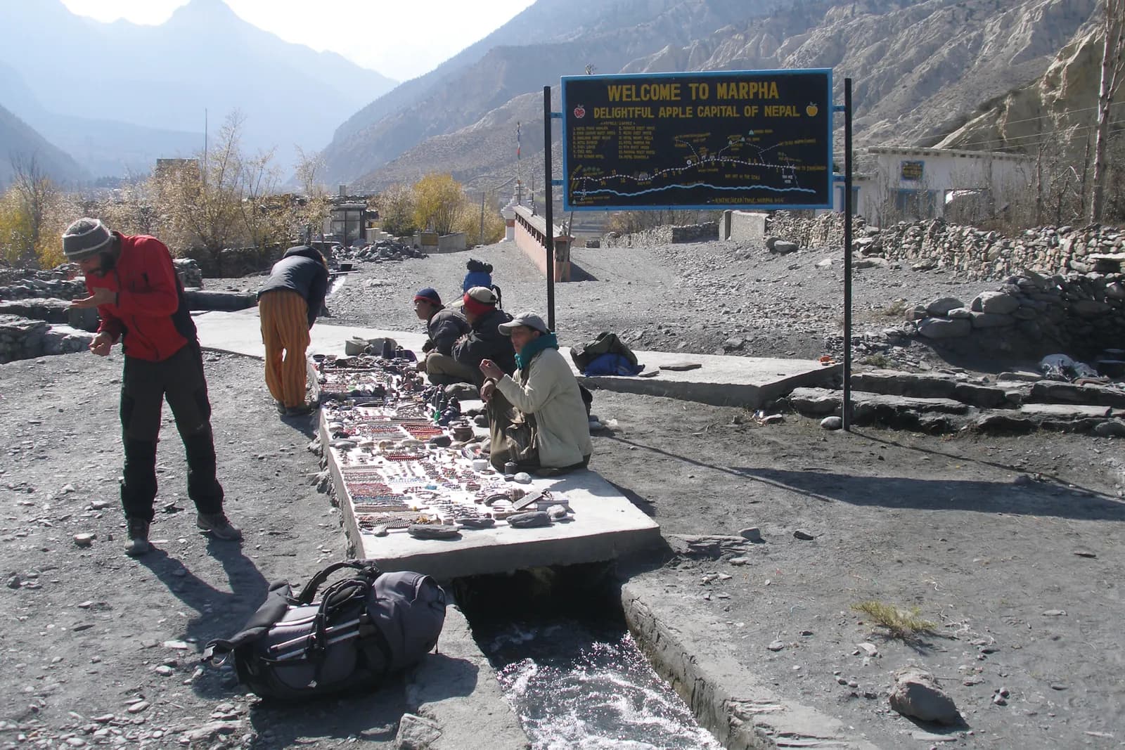
From Muktinath, many walkers drop to Jomsom by a mix of trail and road. The jeep road is a time saver, and the trail through Kagbeni is the scenic way. After Jomsom, our plan continues towards Kalopani via Marpha, with a jeep optional, then drives down the Kali Gandaki to Tatopani. Fly from Jomsom, take a jeep or continue on foot as your time allows. The Thorong La conditions guide explains the crossing.
Planning your day around the wind
The Kali Gandaki valley is known for a strong wind that rises through the day. That affects you in three ways:
- Flights are morning-only. Plan to arrive and depart in the early hours. Our Upper Mustang note says to keep a spare day for Jomsom flight delays.
- Walking is best early. Walking north into the wind in the afternoon is tiring and dusty.
- Jeeps are less affected by the wind but are subject to road conditions, which can change after rain or a landslide.
If you must catch a flight, do not rely on a jeep arriving at the last minute. Allow an hour more than you think you need, and keep your documents with you.
What to ask a driver or lodge
- Is the fare per vehicle or per seat?
- Where exactly does the jeep stop: Jomsom airport, Kagbeni gate, Muktinath or Ranipauwa?
- Can the driver wait for a return, and what does that cost?
- How long will it take on today's road?
- Is there space for luggage and for a porter?
Write the agreed fare on your phone, and pay at the end. See shared jeep versus private jeep versus bus for how to choose.
Sharing the cost
A jeep is a fixed price per vehicle, so sharing with partners cuts it per head, and the Upper Mustang permit and guide are the other large shared lines. Post your dates on the partner pages for Upper Mustang or the Annapurna Circuit, and see the trekking partner hub. Our what to agree guide covers the arrangement.
Sample day plans
Upper Mustang, day one. Fly from Pokhara to Jomsom in the morning, collect your bags and begin the 3 to 4 hour walk to Kagbeni straight away, before the wind builds. Check in at Kagbeni, register your permit as your agency directs and rest. Your acclimatisation starts here, since Kagbeni is at about 2,810 m and the next days climb to about 3,800 m. If the flight is cancelled, you lose the day, and your permit days may start later, so tell your agency at once.
Annapurna Circuit, day ten. After the Thorong La crossing on day nine, spend the night at Muktinath. The next morning walk down towards Jomsom via Kagbeni, a five-hour descent in our plan, or take a jeep for part of it if your knees need a rest. Arrive in Jomsom in the early afternoon, confirm your onward plan and, if you intend to fly, book the earliest morning flight with a margin.
A rest day at Muktinath. The temple complex is the draw, and a quiet day at height before the descent is sensible if you have been struggling. Our Thorong La conditions guide explains what the pass can be like.
If the flight from Jomsom is cancelled
The morning wind and weather decide whether flights go. If yours is cancelled, ask the airline or your agency for the next available seat, keep your bags together and do not wander off. A cancelled flight often means a queue for the next morning, so some trekkers switch to a jeep rather than wait. Compare the cost and the road conditions before you decide, and read the flight versus jeep guide. Keep a spare day in your plan so that a cancellation costs you a night rather than a connection.
Who shares the road
The valley road is used by local traffic, supply trucks, buses and trekkers' jeeps. Expect dust, narrow stretches and animals. Walk on the side facing traffic where you can, step off the road to let vehicles pass and cover your face if the dust is heavy. If you walk with a porter, agree in advance where you will meet the vehicle that carries the luggage, if there is one. Our road safety guide covers the habits that apply to any mountain road.
Respect at Muktinath
Muktinath is a pilgrimage site for Hindus and Buddhists, so dress modestly, ask before you photograph worshippers and follow the signs. Our monastery etiquette guide and the trail etiquette guide explain how to behave.
Flights are covered in internal flight costs, where the Jomsom fare is about USD 120 to 200 each way. More guides are in the transport and logistics hub. Times and fares are approximate; confirm them locally and check permit rules with the Nepal Tourism Board.