Helambu region trekking guide: the Yolmo hills north of Kathmandu
What the Helambu region is, who the Yolmo people are, which villages the loop visits, the two national park permits, how to link it to Gosaikunda and when to go.
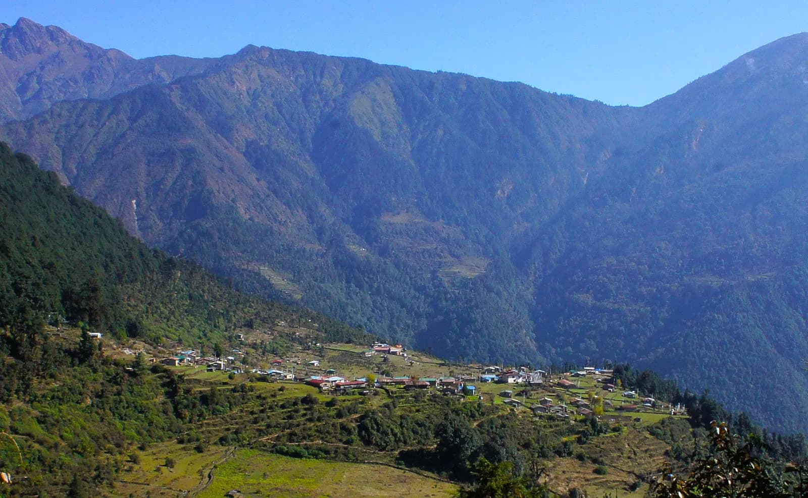
Helambu is the cluster of hill villages north-east of Kathmandu, home of the Yolmo (Hyolmo) people, and its standard trek is an 8-day loop that starts with a one-hour drive to Sundarijal and ends with a 3 to 4 hour drive back from Melamchi Bazaar. It covers about 90 km on foot with about 6,700 m of climbing, tops out at Tharepati at about 3,650 m and needs no restricted-area permit. It is the most accessible mountain trek from the capital, and it works in the same seasons as the rest of Nepal: March to May and October to November.
This guide explains what the region is and how to plan it. The stage-by-stage walkthrough is in the Helambu circuit itinerary, and the route data sits on the Helambu trek page.
Helambu Trekの募集中トリップ
仲間を探しているトレッカーが投稿した実際のトリップです。
Where Helambu is, and what it is not
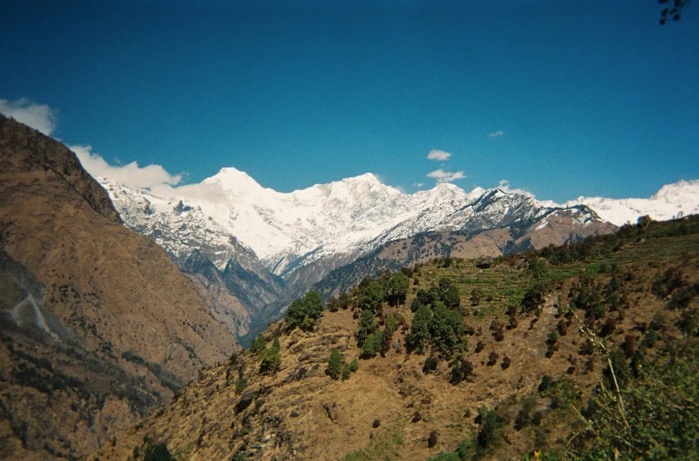
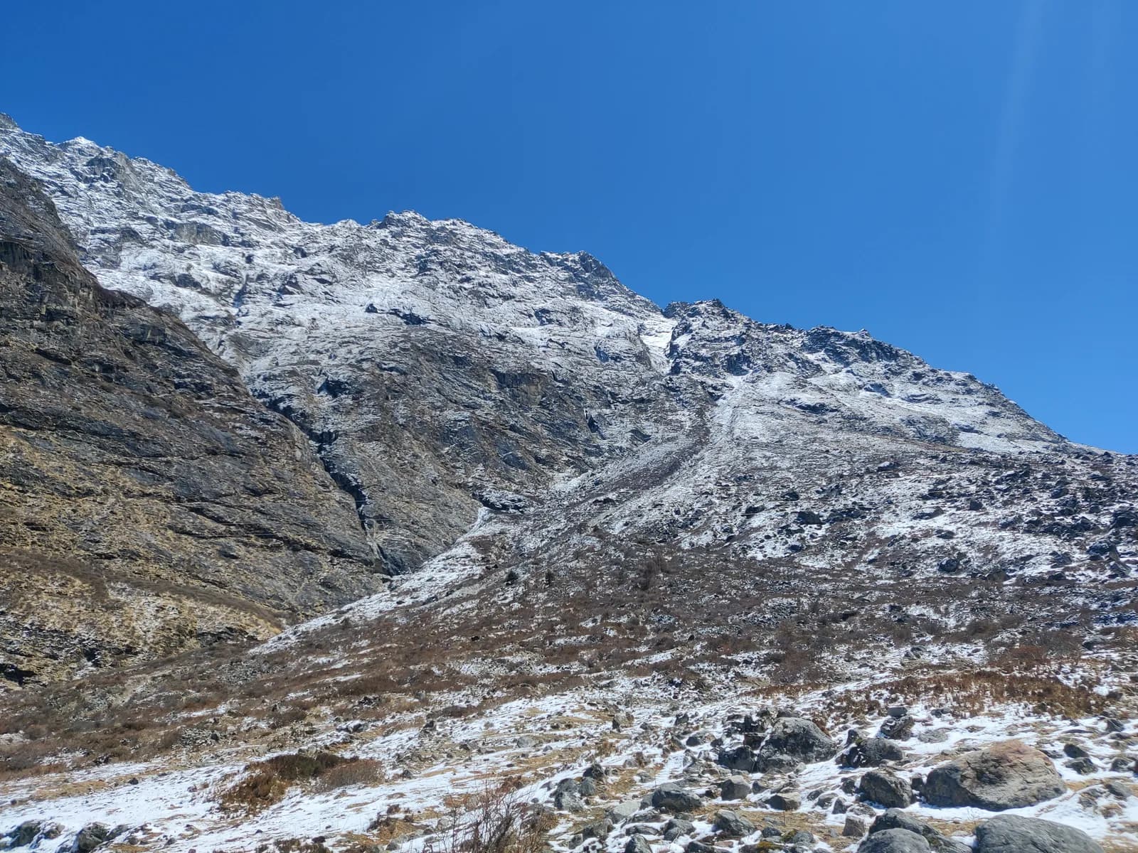
Helambu is in the hills between the Kathmandu Valley and the Langtang range. On our region map it belongs to Langtang: the loop climbs from Shivapuri Nagarjun National Park into Langtang National Park after Gul Bhanjyang, and the upper ridge looks across to Langtang Lirung and the Jugal range. It is not a high-altitude trek. Most nights are between about 2,200 m and 2,600 m, and the single high night, at Tharepati, is about 3,650 m.
What it offers is a ridge-and-village walk with forest, terraces and a culture that most visitors never meet. The Yolmo are a Buddhist community related to Tibetan and Sherpa culture, known for their monasteries and for apples. Villages such as Melamchigaon, Tarke Ghyang and Sermathang have stone houses, mani walls and gompas, and the walking day is organised around them. If you want snow peaks on the doorstep, choose Langtang. If you want a cultural walk close to the capital, with mountain views on clear mornings, this is it.
How the loop runs
| Stage | Where | Sleep altitude | Time |
|---|---|---|---|
| Day 1 | Sundarijal to Chisapani | 2,180 m | 4 to 5 h |
| Day 2 | Chisapani to Kutumsang | 2,470 m | 6 to 8 h |
| Day 3 | Kutumsang to Tharepati | 3,650 m | 5.5 to 7 h |
| Day 4 | Tharepati to Melamchigaon | 2,540 m | 2 to 3 h |
| Day 5 | Melamchigaon to Tarke Ghyang | 2,580 m | 4 to 5 h |
| Day 6 | Tarke Ghyang to Sermathang | 2,580 m | 4 to 5 h |
| Day 7 | Sermathang to Melamchi | 820 m | 4 to 6 h |
| Day 8 | Melamchi to Kathmandu | 1,400 m | 3 to 4 h drive |
The walking times are estimates from distance and climb, so expect real times to vary with your pace, load and weather. The first two days are the hard ones: day 1 climbs steep stone steps beside the water pipeline from Sundarijal into oak and rhododendron forest, and day 2 follows the Shivapuri ridge for about 17 km with a lot of up and down. After Tharepati the walking is gentler, with a steep descent to Melamchigaon.
Tharepati is the altitude moment. The saddle sits at about 3,650 m, with cold, windy nights and a few lodges, and it is the highest point of the trek. Most people do not struggle, but anyone with a headache should sleep lower, at Melamchigaon, rather than push on. Our altitude sickness basics cover what to look for.
Permits and the guide rule
Two parks are involved. You register at Shivapuri Nagarjun National Park at Sundarijal, where the entry permit costs NPR 1,000 for foreigners as of October 2026, and you need a Langtang National Park entry permit for the higher section from Kutumsang, which costs NPR 3,000 for foreigners as of October 2026. A TIMS card may be requested where the local office asks, and the Nepal Tourism Board lists it at NPR 2,000 for foreigners (SAARC nationals NPR 1,000), plus any agency service charge. Helambu is not a restricted area.
On guides, here is the wording we use. A licensed guide through a registered agency is required in restricted areas, and under the Nepal Tourism Board rule of April 2023 in national parks and conservation areas, where 2026 operator reports say checkpoints enforce it in Annapurna and Langtang, the strictest, but not in Khumbu (checked 19 October 2026). Because the upper loop is in Langtang National Park, plan on a licensed guide or guide-porter through a registered agency. See the guide rule by region for the sources, and our Langtang National Park permit guide for where the Langtang permit is checked.
Getting there and away
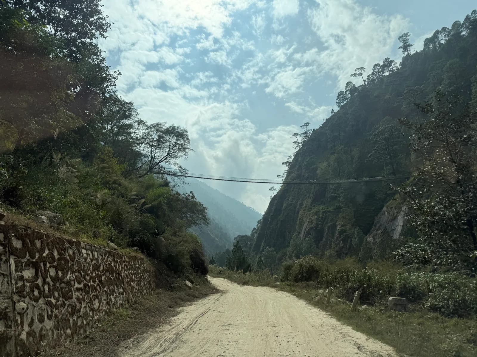
The start is easy. A bus or jeep from Kathmandu reaches Sundarijal in about an hour, and you walk from there. The end is by road from Melamchi Bazaar, 3 to 4 hours by jeep or bus along the Melamchi road. Both fares are lines to check, because our sources publish no price for them. Landslides can slow the Melamchi road in the monsoon, and the 2021 floods on the Melamchi river damaged the valley, so ask about conditions at the end of the trek and keep a spare day. Sundarijal is also a good place for a first look at the hills, as covered in short treks from Kathmandu in 3 to 4 days.
When to go
March to May and October to November are best, with clear views in autumn and rhododendron in spring. Winter is cold but clear and quieter, and snow can fall above Kutumsang and block the ridge. The monsoon brings leeches, rain and landslides. If you are choosing a month, see best time to trek in Nepal, and for the cold months read trekking in Nepal in January.
Lodges and costs
Lodges at Chisapani, Kutumsang, Tharepati, Melamchigaon, Tarke Ghyang and Sermathang offer dal bhat, noodles, eggs and tea in simple rooms with blankets. Facilities are basic and prices rise with altitude. As of October 2026 the cost data for the neighbouring Langtang region gives a dal bhat of NPR 600 to 1,000 between 2,500 and 3,800 m, a guide day of NPR 2,700 to 4,000 and a porter day of NPR 2,100 to 3,400, as operator market ranges rather than official rates. Carry cash for the whole trek, because there are no machines beyond Sundarijal and Melamchi. The route is short enough that a guide and a porter for eight days are the biggest costs, and they are costs a partner can share.
Linking Helambu to Gosaikunda
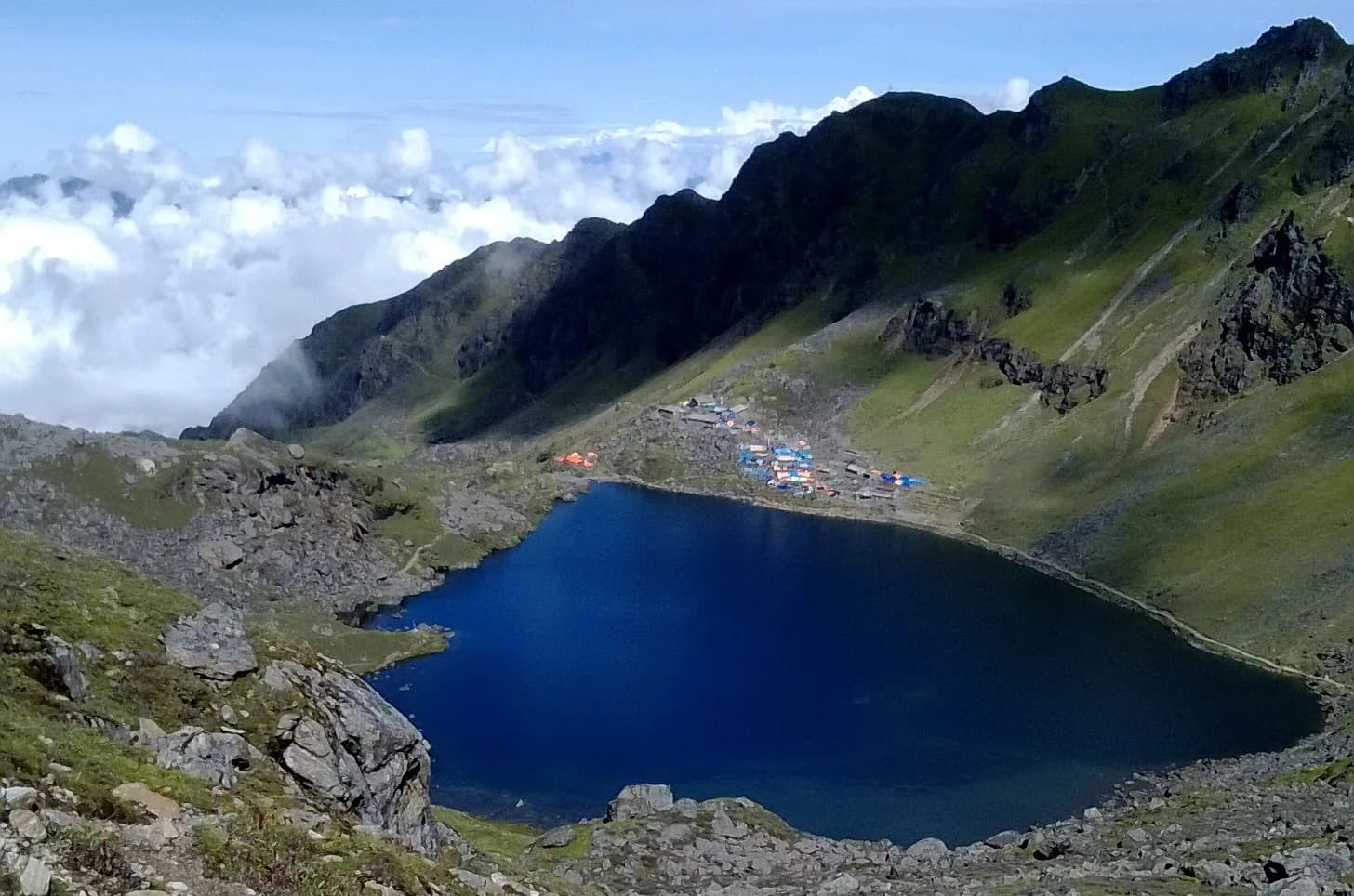
From Tharepati you can continue over the Laurebina La, at about 4,600 m, to Gosaikunda and Dhunche, a further three to four days that joins the Langtang region. It turns a gentle cultural loop into a serious high-altitude trek, with a steep, exposed climb to 4,380 m at the lakes. Read the Gosaikunda itinerary before you decide, and do not add it as an afterthought on day three if you are tired or have symptoms. The Langtang region guide shows how the pieces fit together.
Packing and preparation
Broken-in boots, waterproof layers, a warm jacket, a sleeping bag rated to about minus 5 C, hat and gloves, sunglasses, sunscreen, poles, a headlamp, water purification and a first-aid kit. Add a down jacket in winter and early spring and leech socks in the monsoon. The days are long, 6 to 8 hours in places, with steep ups and downs, so prepare with hill walks, stairs and some days with a loaded pack. The Nepal trek packing list covers the detail.
Culture and manners
Walk clockwise around mani walls and chortens, take your shoes off at monastery doors and ask before photographing people or ceremonies. Buy from local families, eat in village lodges and do not give sweets or money to children. The Nepal trail etiquette guide has more.
Sharing the trek
The guide, the porter and the transport are the shared costs. If you are travelling alone, post your dates on the Helambu partner page and read how to find a trekking partner safely first. The Langtang region page holds the regional data, and the region guides category and Nepal's trekking regions put Helambu beside the others.