Trekking in Nepal in July
July is peak monsoon. What it means on the trail, which rain-shadow routes (Upper Mustang, northern Annapurna, Nar Phu, Dolpo) are realistic, what permits and flights cost and what goes wrong.
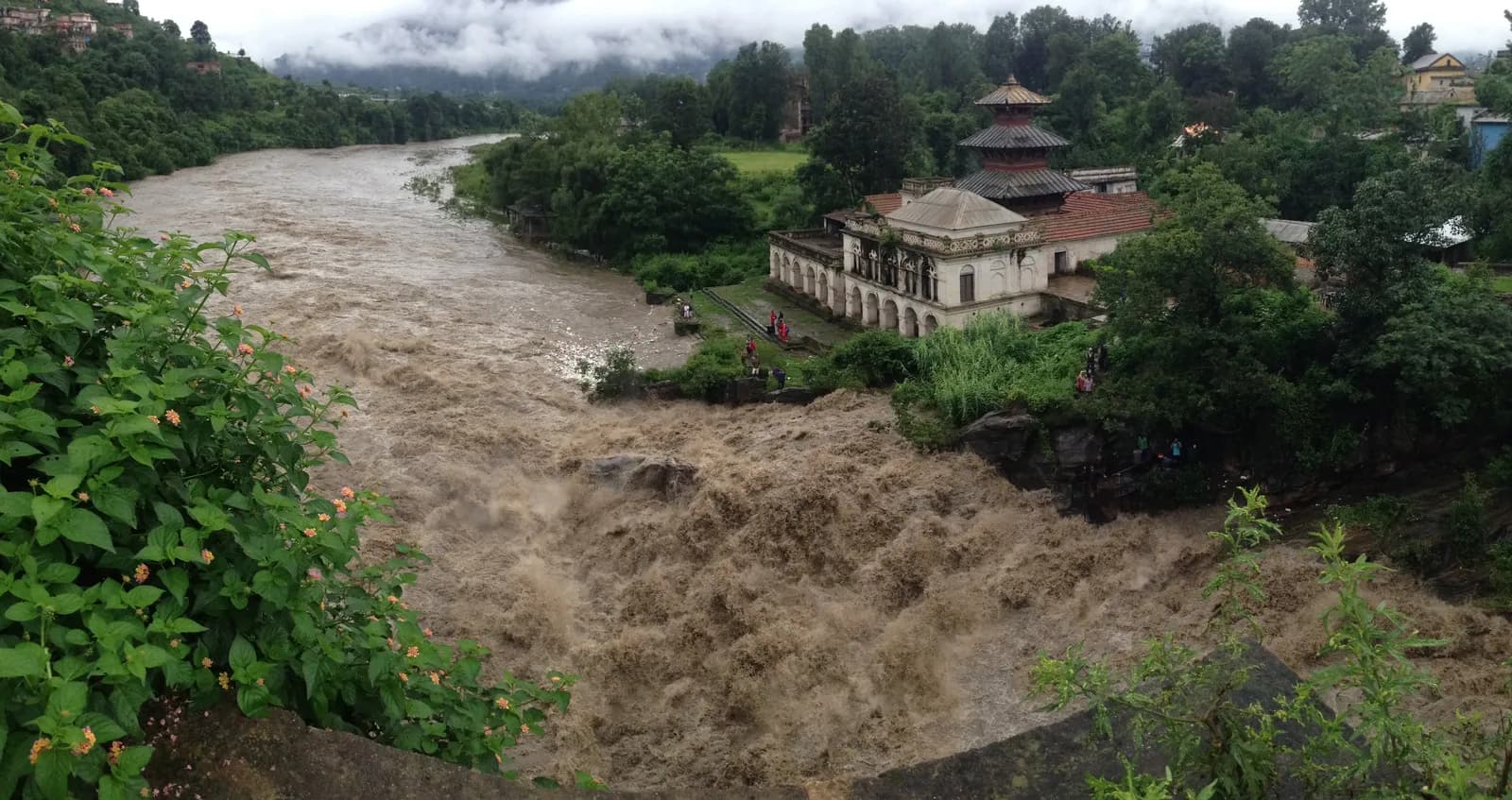
July is the heart of the monsoon, and for most of Nepal that settles the question: the southern valleys are wet, cloudy, leech-prone and landslide-prone, so Everest, Langtang, Manaslu and the Annapurna Sanctuary are poor choices. A small set of routes behind the Himalayan wall, above all Upper Mustang, the northern Annapurna Circuit, Nar Phu and Dolpo, sit in a rain shadow and can be far drier. If you have to travel in July, those are the routes to look at, and each comes with its own logistics problem, which is getting there.
This guide is about July in particular, not the monsoon in general. It explains what the weather service says about the season, how July differs from June and August, which routes are realistic with their altitudes and days, what the permits cost and how to plan around flights and roads. For the wider overview of rain-shadow trekking, read our monsoon trekking guide.
Upper Mustang Trek (Lo Manthang) के ओपन ट्रिप
पार्टनर खोज रहे ट्रेकर्स के असली ट्रिप।
What the numbers say
Nepal's Department of Hydrology and Meteorology gives 13 June as the normal onset of the monsoon and 2 October as the normal withdrawal, a normal season of 112 days. July is therefore always inside it. In recent years the dates have moved: onset on 29 May in 2025, about two weeks early, with withdrawal on 10 October. You cannot count on a "break" in July. What you can count on is the geography. The monsoon drops most of its rain on the southern slopes, and the high valleys behind the main ranges receive much less. Upper Mustang, for example, gets roughly 250 to 400 mm of precipitation a year, according to our region page, because the Annapurna and Dhaulagiri ranges shelter it.
What July is like by region
| Region | July conditions |
|---|---|
| Everest | Monsoon. Lukla flights cancelled often, wet trails, leeches low down, mostly cloud |
| Annapurna south (Poon Hill, Sanctuary) | Wet, leech-prone and cloudy |
| Annapurna north (beyond Chame, Manang, Mustang) | Much drier |
| Langtang | Heavy rain, landslides on the Trishuli road, poor views |
| Manaslu | Heavy rain, landslides on the lower trail, cloud; few people trek |
| Upper Mustang | Largely dry, though flights to Jomsom can be disrupted |
| Dolpo | Rain shadow; plateau can be dry, but flights often disrupted |
These come from our regional month-by-month sections. The pattern is that the route's position relative to the ranges matters more than its altitude.
The routes worth considering
Upper Mustang
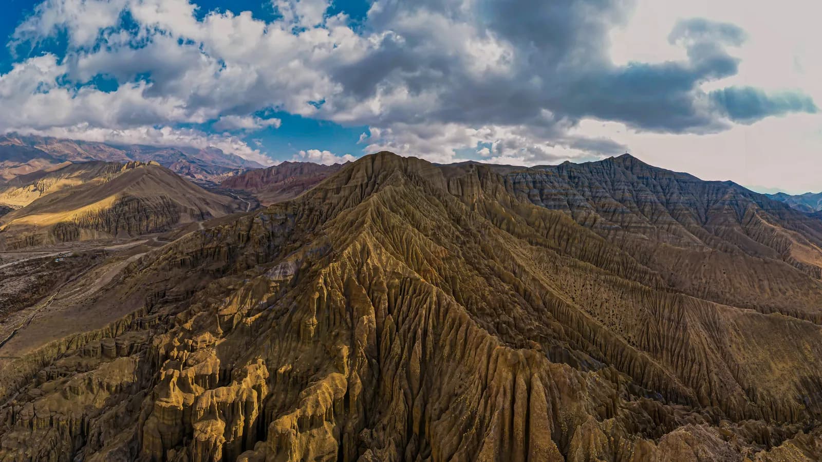
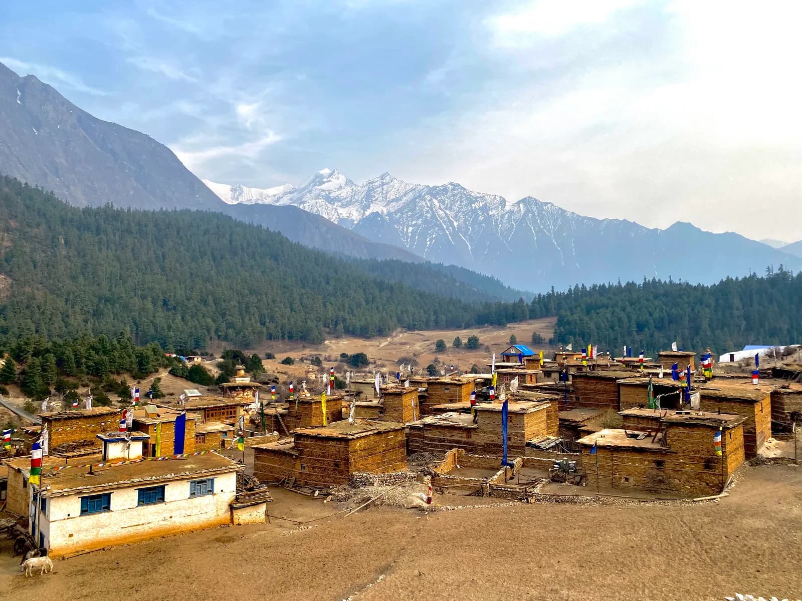
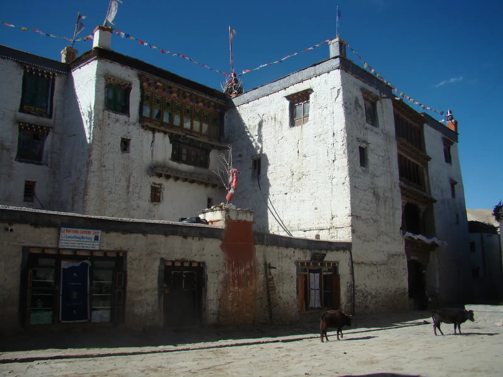
The Upper Mustang trek is the classic July route. Our route page says the monsoon months can be a good option here, while region notes add that the desert colours are at their best. The plan is 12 days: fly Pokhara to Jomsom, walk to Kagbeni (2,810 m), cross to Chele (3,050 m), climb to Syangboche (3,800 m) and continue through Ghami and Tsarang to Lo Manthang at 3,840 m, then return via Dhakmar and Ghar Gompa. Wind is a feature: it rises almost every afternoon, so you walk early. The restricted-area permit is USD 50 per person per day as of October 2026, which is USD 500 for the 10 days our plan counts, plus NPR 3,000 for the ACAP permit. A licensed guide and a registered agency are required. See the Upper Mustang permit guide and the best time for Upper Mustang.
The weak point is the flight. Pokhara to Jomsom runs in the morning, and cloud over the south can cancel it. Our dated cost data puts that flight at about USD 120 to 200 each way, so a cancelled leg is a real cost. The alternative is the road, a long jeep drive; compare them in Pokhara to Jomsom: flight versus jeep.
The northern Annapurna Circuit
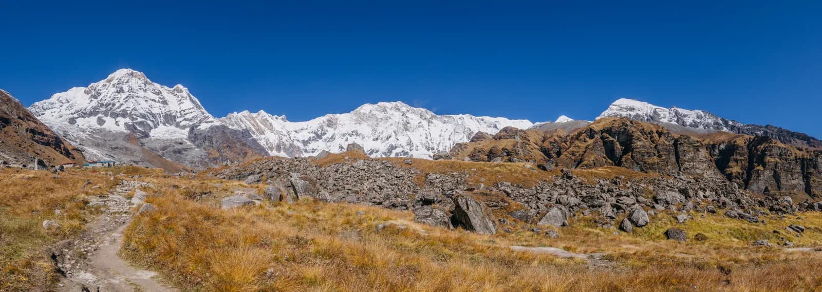
Our Annapurna Circuit route page says the monsoon is wet in the south but much drier in the north. That makes the section beyond Chame feasible. The full Annapurna Circuit starts with a long drive via Besisahar to Dharapani (1,860 m), and that first day is the wet one, because landslides can close the road. If you do the high part, Manang (3,540 m) is the acclimatisation base, and the Thorong La crossing at 5,416 m is on day 9. Read best time for the Annapurna Circuit before you commit.
Nar Phu
The Nar Phu valley is an 11-day route that reaches 5,306 m. Our route page says the monsoon is wetter on the south side and quieter in this rain-shadow valley, but landslides can block the road. It needs a restricted-area permit: from December to August the fee is USD 75 per person per week plus USD 15 per extra day, so USD 90 for the 8 permit days our plan assumes (as of October 2026), plus ACAP. Our Nar Phu region guide has the details.
Dolpo
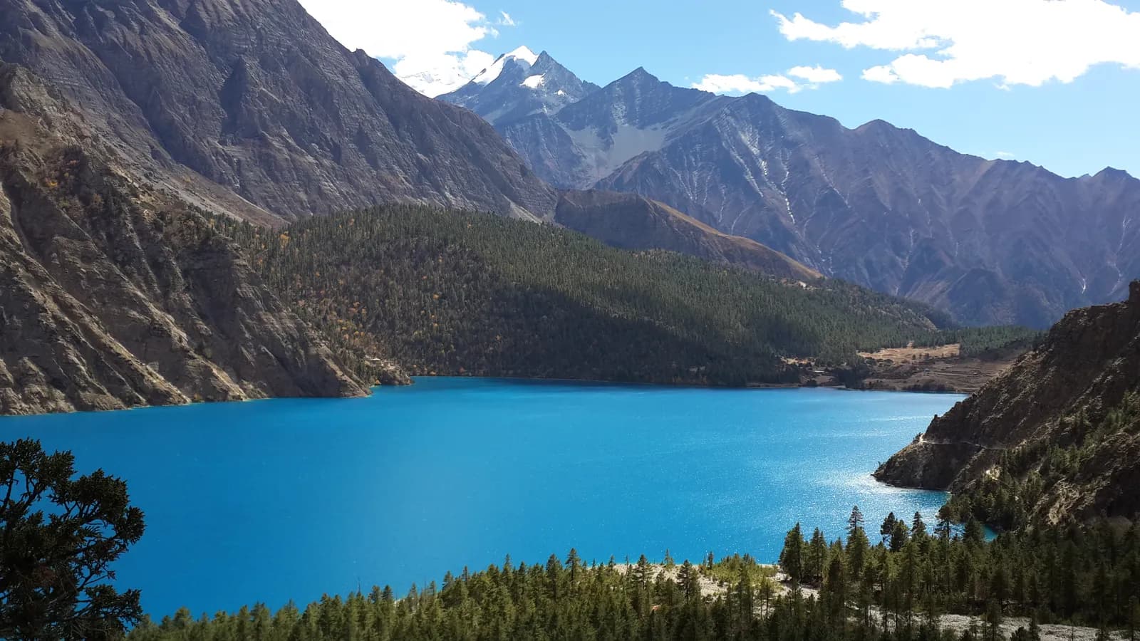
Dolpo lies in the rain shadow, and the region page says the plateau can be dry in July and August, with flights often disrupted. The Phoksundo Lake trek, reaching 3,640 m, is the easier version, while the Upper Dolpo circuit takes 22 days. Our Dolpo page lists May to June and September to October as the best seasons, so July is a possibility, not the optimum. In the monsoon Nepalgunj can be extremely hot, so plan an extra day at each end. Fees: the park permit is NPR 3,000, and Upper Dolpo's restricted-area permit is USD 50 a day, USD 800 for 16 days.
How to build a July itinerary that survives delays
A monsoon plan has to assume that something will slip. The safest structure is to put the unreliable legs at the edges and keep the middle simple. Take Upper Mustang: book the Pokhara to Jomsom flight for the earliest morning, because cloud builds later in the day, and plan the first walking day, Jomsom or Kagbeni to Chele, as a short one so a late arrival does not matter. Keep two buffer days after the trek, not one, and book the onward international flight accordingly. On the walk itself the 12-day plan already has a rest day in Lo Manthang, which doubles as a weather day. If Jomsom flights are cancelled on the way out, the road is the fallback; read the flight-versus-jeep guide beforehand so you know the options and costs rather than learning them at the airport.
The same logic applies to Dolpo, where Nepalgunj heat and Juphal cloud both bite. Agree with your agency in advance what happens on a cancelled day: who pays for the extra hotel night, whether the guide's wage continues and what the rebooking order is. Put the answer in writing before you pay. A July trek is an exercise in flexibility, and trekkers who accept that tend to enjoy the empty trails and the desert colours that our Upper Mustang page says are at their best in the monsoon months.
What goes wrong in July
- Flights. Cloud cancels or delays Lukla, Jomsom and Juphal flights. Add buffer days at both ends.
- Roads. Landslides close the Trishuli road to Syabrubesi, the Machha Khola road for Manaslu and the Besisahar road. Check the day before.
- Leeches. Low southern trails in the monsoon are leech-prone. Carry leech socks and salt or repellent, and check your legs at every stop.
- Rivers. Streams swell fast after rain. Never cross a flooded stream; wait or turn back.
- Views. On wet-side routes expect cloud. Even in the rain shadow, southern cloud can spill over.
Landslides and flooded rivers are the leading safety risk, and the landslide and river rules in our monsoon trekking guide are worth reading before you go.
Budget and demand
July has the fewest trekkers of any month on the main trails, so lodge rooms are easy and guides are available, but few lodges stock much. Our dated cost data does not price July separately from other months, so ask at each lodge. The flights, not the lodges, are the large lines: Pokhara to Jomsom about USD 120 to 200 each way. A mid-range Upper Mustang plan with a guide, a porter per two trekkers and ACAP and the restricted-area permit comes to about USD 1,350 to 1,900 per person for two sharing, according to the route estimate at October 2026 prices, excluding international flights, insurance and some transport.
Should you go?
Go in July if you want solitude, have flexible dates and choose a rain-shadow route with a guide who knows the conditions. Do not go if you have a fixed return flight home the day after the trek ends, if you want mountain views from the south side or if you are new to trekking. If your dates can move, September and October are far easier. For a full-year comparison see best time to trek in Nepal.
इस ट्रेक की योजना बनाएँ
- Annapurna क्षेत्र गाइड
- Upper Mustang क्षेत्र गाइड
- Dolpo क्षेत्र गाइड
- Trekking partner for Upper Mustang Trek (Lo Manthang)
- Trekking partner for Annapurna Circuit Trek
- Nar Phu Valley Trek trekking partners
- Trekking partner for Phoksundo Lake Trek (Lower Dolpo)
- Upper Dolpo: Shey Phoksundo to Shey Gompa trekking partners
- Upper Mustang Trek (Lo Manthang) यात्रा-कार्यक्रम
- Annapurna Circuit Trek यात्रा-कार्यक्रम
- Nar Phu Valley Trek यात्रा-कार्यक्रम
- Phoksundo Lake Trek (Lower Dolpo) यात्रा-कार्यक्रम
- Upper Dolpo: Shey Phoksundo to Shey Gompa यात्रा-कार्यक्रम