Langtang region trekking guide: valley, Gosaikunda and Tamang trail
A planning guide to Langtang, the mountain region closest to Kathmandu by road: the three treks compared, the Syabrubesi road, permits, the guide rule at its strictest and the 2015 earthquake.
Langtang is the high-mountain trekking region closest to Kathmandu by road. You drive about 117 km to Syabrubesi in 7 to 8 hours by jeep, with no flight needed, and choose between three treks: the Langtang Valley to Kyanjin Gompa (8 days, highest point Kyanjin Ri at 4,773 m), Gosaikunda (6 days, 4,380 m) and the Tamang Heritage Trail (7 days, about 3,200 m). It lies in Langtang National Park, the park permit is NPR 3,000 as of October 2026, and a guide is effectively required because checkpoints here are the strictest in Nepal.
That makes Langtang a good choice for a first Himalayan trek, but it has its own traps: a long road, landslides, fast altitude gain and a guide rule that is enforced. This guide covers all of them. For the stage-by-stage plans, see the Langtang Valley itinerary.
Langtang Valley Trek के ओपन ट्रिप
पार्टनर खोज रहे ट्रेकर्स के असली ट्रिप।
Check current conditions before you plan anything
On 26 August 2026 a glacier collapse near Langtang Lirung set off a flood and debris flow that struck settlements along about 72 km of the Trishuli river. According to the Wikipedia account of the event, at least 1,454 people had died in Nepal as of 4 October, floodwater entered Dhunche and Syabrubesi, and the Syabrubesi to Rasuwagadhi road and many bridges were damaged. Our route data and the plans in this guide describe the treks as they were laid out before the flood, and we have not been able to confirm which sections of the road, trails, lodges and permit posts have reopened. Before you book or pay for anything, ask a registered agency, the Department of National Parks and Wildlife Conservation or the Nepal Tourism Board for the current status of the road to Syabrubesi, the Langtang trail and the lodges, and be prepared to change plans.
What the region is
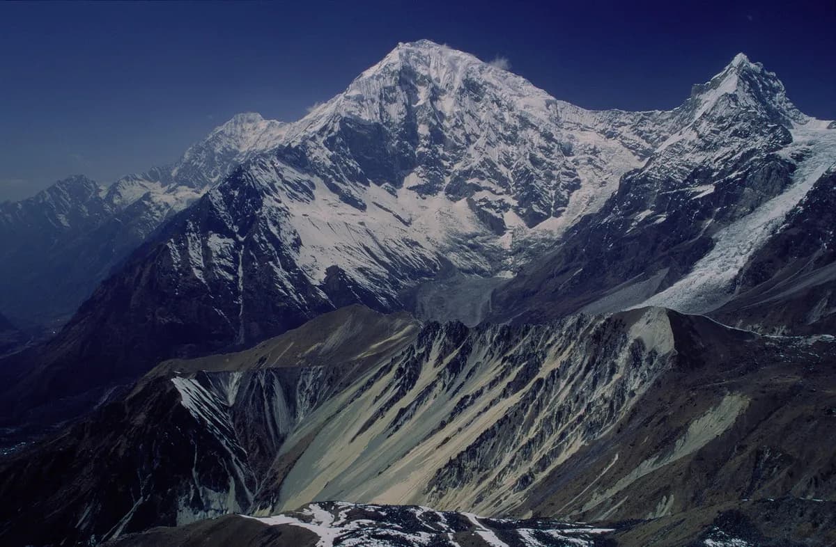
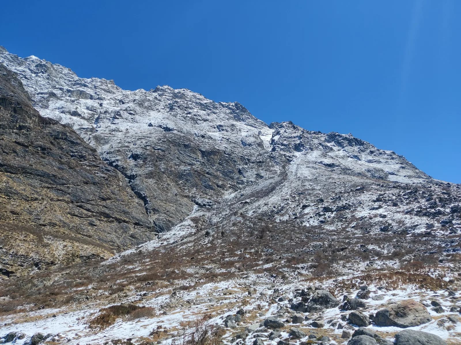
Langtang National Park was established in 1976, Nepal's first Himalayan national park, and covers about 1,710 km2 across Rasuwa, Nuwakot and Sindhupalchok. It rises from subtropical forest below 1,000 m to the summit of Langtang Lirung at about 7,230 m. Rhododendron and oak forest, where red pandas and Himalayan black bears live, gives way to juniper and alpine meadow above 3,500 m.
The people are mostly Tamang, of Tibetan origin, with a Tibetan-influenced Buddhist culture of monasteries, stone houses and prayer flags. The old trade route into Tibet at Rasuwagadhi, at the end of the road north of Syabrubesi, is still the main crossing.
On 25 April 2015 an earthquake triggered an avalanche from Langtang Lirung that buried the old village of Langtang and killed at least 215 people, including villagers, trekkers and park staff. The village was rebuilt a short distance away. A memorial and a long mani wall mark the old site, and the walk past it is among the most sobering on any Nepal trek. Treat it quietly, and talk to local people if they want to talk.
The three treks compared
| Trek | Days | Highest point | Character |
|---|---|---|---|
| Langtang Valley | 8 | Kyanjin Ri, 4,773 m | The classic valley under glaciers and peaks |
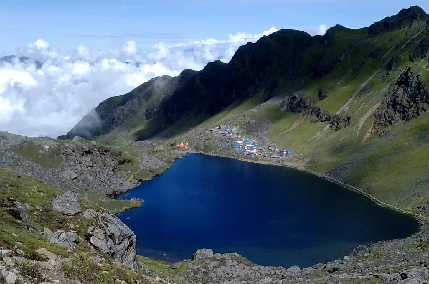
| Gosaikunda | 6 | 4,380 m | A short, steep climb to sacred alpine lakes |
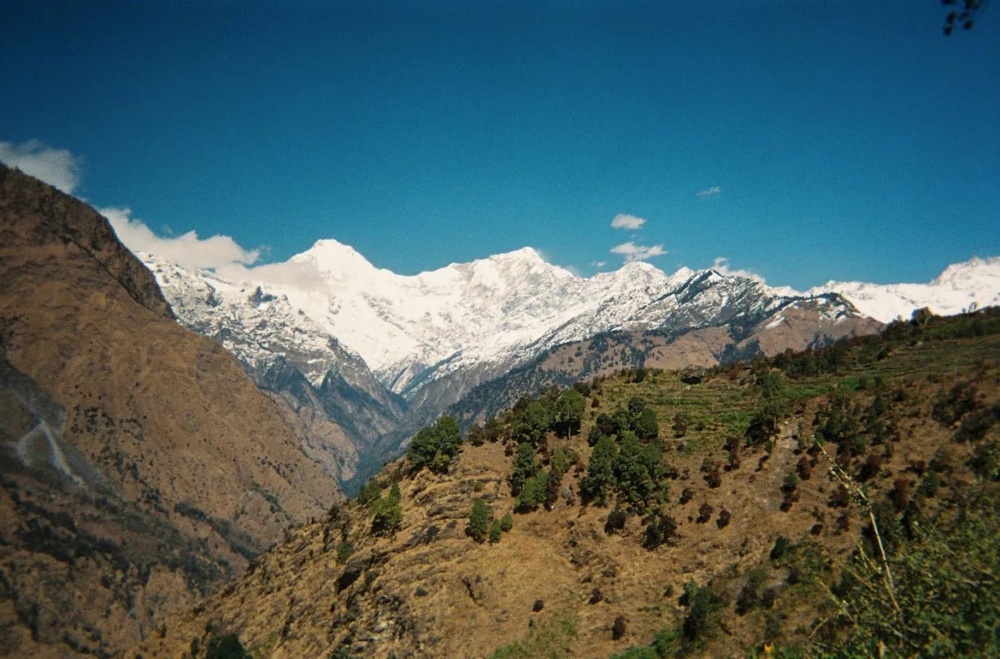
| Tamang Heritage Trail | 7 | about 3,200 m | Homestays, hot springs, low altitude |
The Langtang Valley is the one most people mean when they say Langtang. It climbs the Langtang Khola from Syabrubesi (1,460 m) to Kyanjin Gompa (3,870 m) in three walking days, with a rest day and a hike up Kyanjin Ri. Gosaikunda starts from Dhunche (1,960 m) and climbs to 4,380 m in two days, which is much faster, so it demands more care. The Tamang Heritage Trail stays low, runs through hill villages near the Tibetan border and is the lowest-risk choice for altitude.
You can combine them. Langtang plus the Tamang trail makes a 12 to 14 day trip. Gosaikunda can be extended over the Laurebina La to Helambu, which adds several days and is covered in the Helambu region guide. The Helambu trek itself takes 8 days, with a highest point of 3,650 m, and is the gentler way to get into the hills near Kathmandu.
The road is the hard part
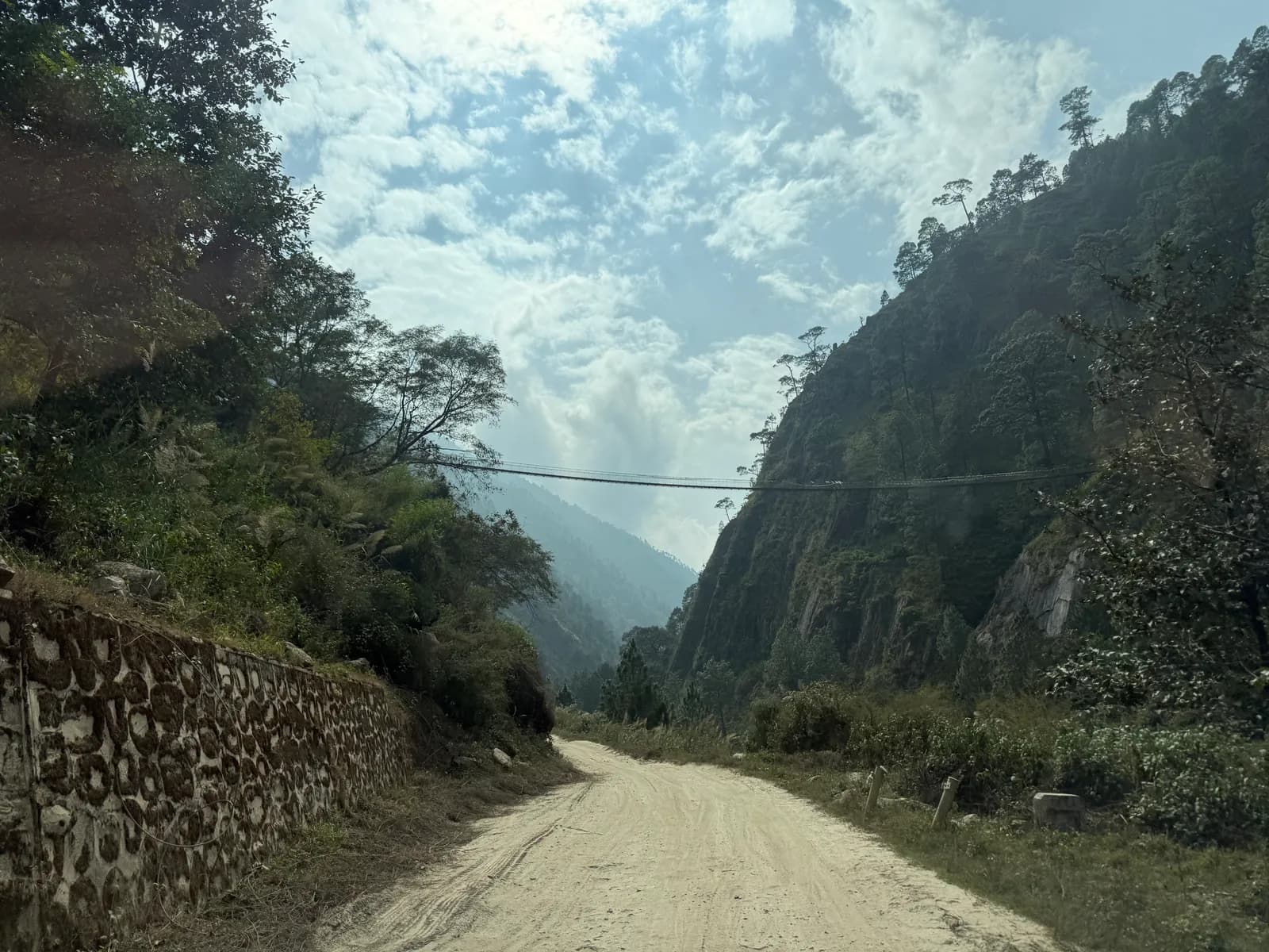
The drive from Kathmandu to Syabrubesi is about 117 km through Trishuli and Dhunche. Allow 7 to 8 hours by jeep or 8 to 10 by local bus, depending on landslides and repairs. The road is rough in places and often closes in the monsoon. As of October 2026 the cost data gives a local bus at about NPR 800 to 1,500, a shared jeep at NPR 1,500 to 3,000 and a private jeep at NPR 15,000 to 29,500 per vehicle. The private jeep price is per vehicle, so splitting it between partners cuts the cost sharply.
Our guide to Kathmandu to Syabrubesi covers departure times and what to expect on the way. Whatever you choose, keep a spare day at the end. Do not book an international flight for the evening you return, and check road conditions the day before you travel.
Permits and the guide rule at its strictest
You need a Langtang National Park entry permit. As of October 2026 it costs NPR 3,000 for foreigners per entry (SAARC nationals NPR 1,500, children under 10 free), and it is checked at Dhunche and Syabrubesi. A TIMS card may also be requested; the Nepal Tourism Board lists it at NPR 2,000 for foreigners (SAARC nationals NPR 1,000), plus any agency service charge. We cover buying it in the Langtang National Park permit guide, and the park itself in the Langtang National Park guide.
On the guide rule, here is the wording we use. A licensed guide through a registered agency is required in restricted areas, and under the Nepal Tourism Board rule of April 2023 in national parks and conservation areas. 2026 operator reports say checkpoints enforce it in Annapurna and Langtang, with Langtang reported as the strictest and TIMS checked, but not in Khumbu (checked 19 October 2026). So in Langtang, plan on a guide or guide-porter through a registered agency. The page on the guide rule by region and the guide rule for foreigners explained give the sources.
Altitude: fast on this one
Langtang gains height quickly. Syabrubesi is at 1,460 m, and Kyanjin Gompa at 3,870 m is only three walking days away. The biggest sleeping gain is day three, from Lama Hotel (2,470 m) to Langtang village (3,430 m), a rise of about 960 m. Many people feel symptoms at Kyanjin, so take the rest day there, climb high and sleep low, and never ascend with a headache or nausea.
Gosaikunda is steeper still: you climb from Dhunche at 1,960 m to 4,380 m in two days. Add a night at Sing Gompa or Laurebina if you can, drink plenty of water and be prepared to turn back. The Tamang Heritage Trail stays below about 3,200 m and is lower risk. The Wilderness Medical Society and CDC Yellow Book guidance applies: modest sleeping gains above 3,000 m, a rest day every few days, and descent for any worsening symptom. Our altitude sickness basics cover the signs.
Seasons
October is the most popular month, with stable weather and clear views. November is colder and quiet, with freezing nights at Kyanjin. March is cold with clear days and the first rhododendron lower down, April is the spring peak, and May is warmer and hazier. June to August is monsoon, with leeches and landslides on the Trishuli road, though the Gosaikunda lake festival of Janai Purnima in August still draws pilgrims. September is green and clears late in the month. December to February is cold with snow on the high trails, suitable only for experienced walkers, and lodges at the top may be closed. See best time for Langtang Valley for more.
Lodges and costs
Lodges are simple and widely spaced, with stove-heated dining rooms and unheated rooms. At Kyanjin Gompa you can try yak cheese from the small cheese factory, and on the Tamang Heritage Trail homestays in villages such as Gatlang and Briddim serve Tamang food. As of October 2026 the cost data gives a dal bhat of NPR 600 to 1,000 between 2,500 and 3,800 m and NPR 1,100 to 1,800 above 3,800 m, with a guide day at NPR 2,700 to 4,000 and a porter day at NPR 2,100 to 3,400. These are market ranges from operator guides, not official rates. Carry rupees, as there are no cash machines above Dhunche or Syabrubesi.
Safety notes specific to Langtang
- Landslides and rockfall threaten the Trishuli road and parts of the Langtang trail, especially in the monsoon.
- Avalanche paths cross the upper valley, so do not stop in them, especially in winter and early spring.
- The climb to Gosaikunda is steep and exposed above Laurebina. Turn back in snow or cloud.
- Livestock share the water sources, so purify water.
- Carry insurance that covers helicopter evacuation above 4,000 m, because there is no flight in, only a charter in an emergency.
Sharing a short, road-based trek
Langtang's costs are dominated by shared items: the jeep, the guide and a porter. If you travel alone, a guide and a private jeep are expensive; with a partner or two they become reasonable. The Langtang Valley partner page lets you post dates, and splitting guide and porter costs fairly between partners sets out how to divide them.
Choosing
Pick the Langtang Valley for the mountain views and a first real altitude test, Gosaikunda if you want a short pilgrimage trek and are comfortable with a steep climb, and the Tamang Heritage Trail if culture and low altitude matter most. The Langtang region page holds the underlying data, Nepal's trekking regions compares the others, and the region guides category lists the rest of this series.
इस ट्रेक की योजना बनाएँ
- Langtang क्षेत्र गाइड
- Find someone to trek Langtang Valley Trek with
- Trekking partner for Gosaikunda Lake Trek
- Tamang Heritage Trail trekking partners
- Trekking partner for Helambu Trek
- Langtang Valley Trek यात्रा-कार्यक्रम
- Gosaikunda Lake Trek यात्रा-कार्यक्रम
- Tamang Heritage Trail यात्रा-कार्यक्रम
- Helambu Trek यात्रा-कार्यक्रम