Trekking in Nepal in June
June is the edge of the monsoon: wet and leech-prone in the south, but one of the best months for Upper Dolpo and a workable one for Upper Mustang, Humla and the north side of the Annapurna Circuit.
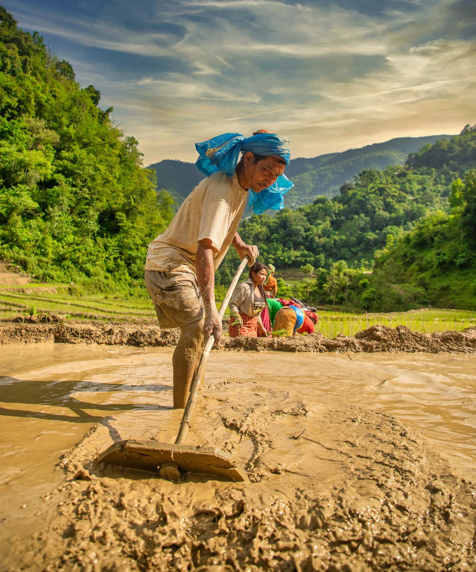
June in Nepal is the edge of the monsoon, and the right route depends entirely on which side of the rain you choose. The wet south and east, from Poon Hill and the Annapurna Sanctuary to Everest, Langtang and Kanchenjunga, turn rainy, cloudy and leech-prone, but our region pages call June one of the best months for Upper Dolpo, and Upper Mustang and the north side of the Annapurna Circuit sit in the rain shadow and stay far drier. Humla works early in the month, before the first monsoon cloud at the end of June.
This guide sorts the routes by how June treats them, explains the transport and leech problems, notes what changes on permits, and gives a sample plan. It is based on our region and route pages, checked on 19 October 2026. For the wider picture, read monsoon trekking in Nepal and rain-shadow routes and the neighbouring months, May and July.
טיולים פתוחים בUpper Dolpo: Shey Phoksundo to Shey Gompa
טיולים אמיתיים שפרסמו מטיילים שמחפשים שותפים.
What June is like
- The monsoon is arriving. Our region pages treat June to August as monsoon, and the Humla page notes the first monsoon cloud at the end of June. How early or late the rains arrive varies year to year, so plan with margin.
- Long days. On a flat horizon Kathmandu has about 13.9 hours of daylight in mid-June, with sunrise near 05:07 and sunset near 19:00 by our calculation, which is the longest of the year. Cloud and mountain walls shorten the useful light.
- Heat low down. The Dolpo page says heat is strong in Dunai, and warm valley floors make early starts worthwhile.
- Few trekkers. Lodges are quiet, which helps for booking and hurts if a lodge is closed for the season.
- Poor views in the wet zone. Where the monsoon bites, mountains are mostly in cloud, which is the main reason to avoid it.
Routes that work in June
Upper Dolpo and Phoksundo
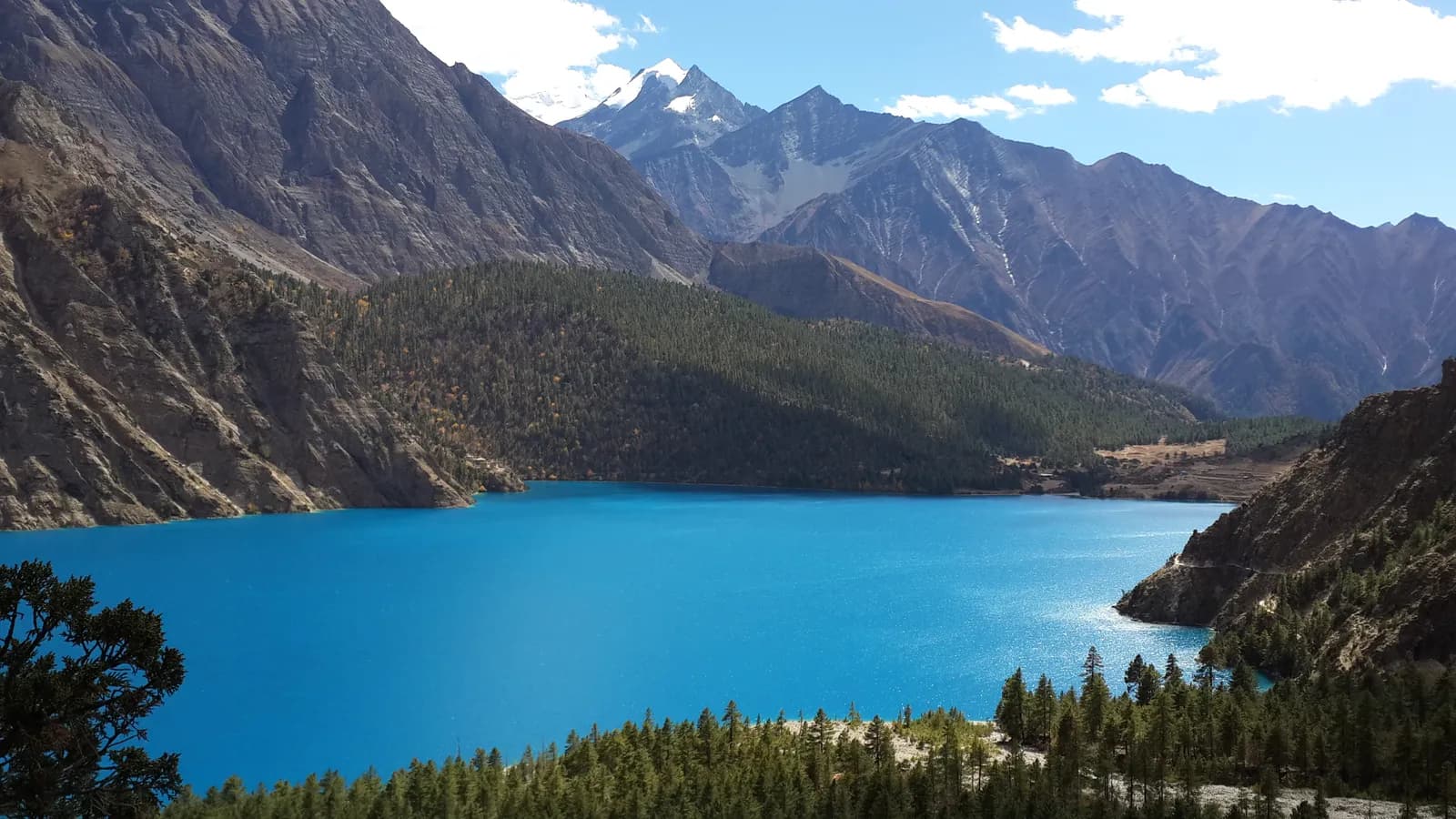
Our Dolpo region page calls June one of the best months for Upper Dolpo, because the passes are clear and the plateau is dry, with May to June and September to October the best seasons. The Upper Dolpo route runs 22 days over Kang La, Saldang La and Jeng La, with a high point of about 5,360 m, and the shorter Phoksundo Lake route takes 10 days to Ringmo at 3,640 m. Both start with flights through Nepalgunj to Juphal, which are weather dependent and often delayed; our Dolpo access guide explains the logistics. Upper Dolpo is a restricted area: a Restricted Area Permit from the Department of Immigration through a registered agency, the Shey Phoksundo National Park permit and a licensed guide are required. As of October 2026 the Upper Dolpo permit is USD 50 per person per day, per the Nepal Tourism Board; see the Dolpo permit guide.
Upper Mustang
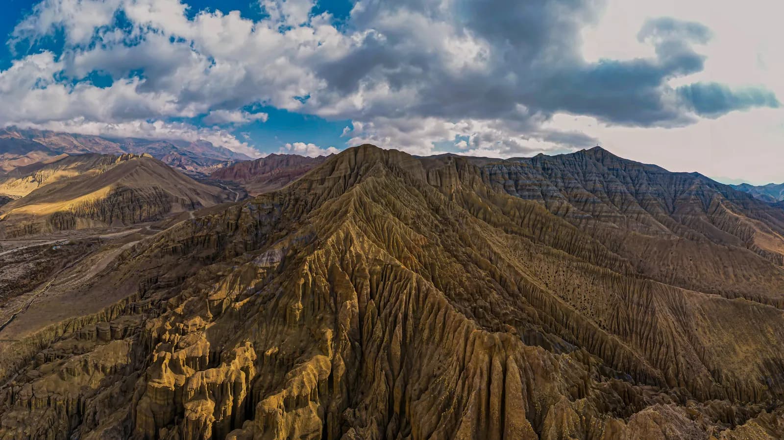
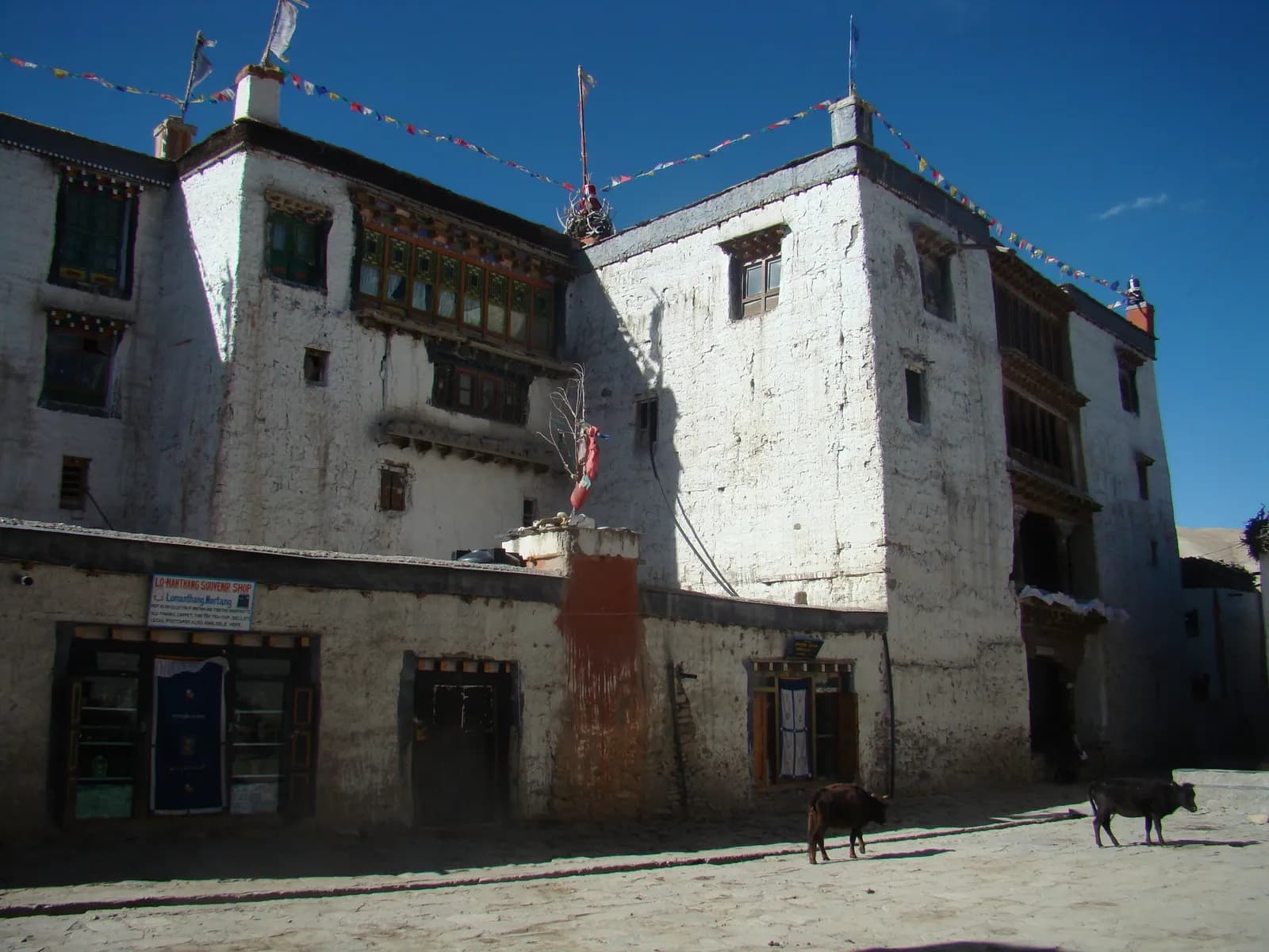
The Upper Mustang route sits behind the Himalaya, and our region page says it stays largely dry from June to August, with the desert colours at their best. The risk is getting there: Jomsom flights can be disrupted by cloud in the south, so keep a spare day. It is a restricted area, so the permit, guide and registered agency are required. The cost lines are in our Upper Mustang cost breakdown, and the best time for Upper Mustang guide covers the season.
The north side of the Annapurna Circuit
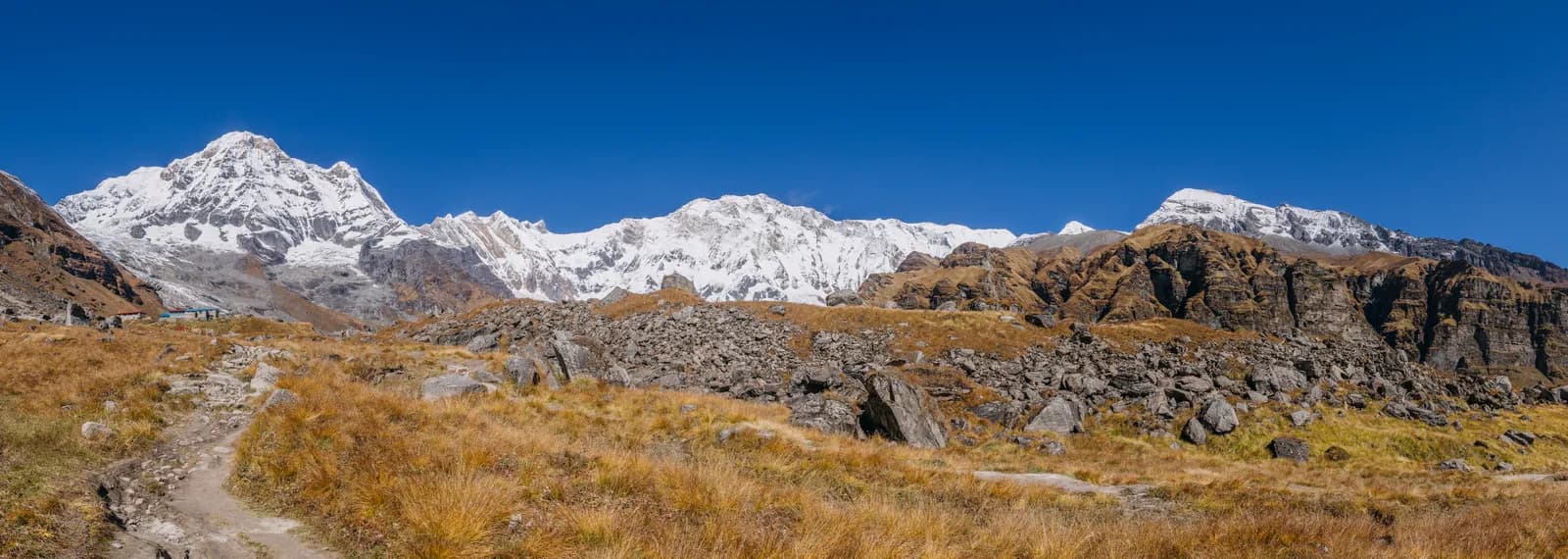
Our Annapurna region page says the Circuit sections beyond Chame and Mustang sit in the rain shadow and stay far drier than the southern routes. The Annapurna Circuit starts with a drive from Kathmandu through Besisahar, and the early stages through the Marsyangdi valley are wetter than the north side. Landslides can close roads in the monsoon, so build in spare days; see the best time for the Annapurna Circuit.
Humla and Limi Valley, early in June
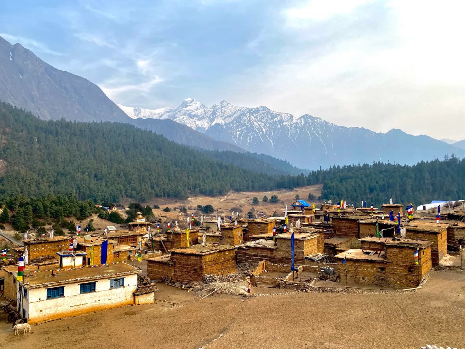
Our Humla region page lists April to June and September to November as the best months, with June warmer and the first monsoon cloud at the end. The Limi Valley route takes 18 days from Kathmandu via Nepalgunj and Simikot, with a high point of about 4,940 m at Nyalu La. It is a restricted area, and flights depend on wind and cloud; see the Limi Valley guide.
Rara Lake
Rara is a possible June option but not an easy one. Our region page puts April and May as the best spring months and says June to August brings rain on the lower slopes and unreliable flights, though the lake and meadows are green and few people visit.
Routes to avoid in June
| Route | Why June is difficult |
|---|---|
| Poon Hill and Annapurna Sanctuary | Wet, leech-prone and cloudy on the southern slopes |
| Everest Base Camp, Gokyo, Three Passes | Lukla flights cancelled often, trails wet and leech-prone low down, views mostly cloud |
| Langtang, Gosaikunda, Helambu | Heavy rain, leeches, landslides on the Trishuli road and poor views |
| Manaslu and Tsum Valley | Heavy rain, landslides on the lower trail and cloud |
| Makalu, Kanchenjunga, Rolwaling | Our region pages call June to August not recommended |
| Khaptad and Api-Saipal | Wet, and landslides cut the roads |
Leeches, landslides and flights
Leeches. Our Kanchenjunga page puts leeches below about 3,000 m in the wet months, and other region pages describe them in the lower forest; Makalu's page advises carrying salt or repellent and wearing gaiters. Check your socks at every stop.
Landslides. Roads at the ends of treks are the weak point. The Annapurna, Langtang, Kanchenjunga and Api-Saipal pages all warn that monsoon landslides can close roads, so keep spare days and check conditions the day before. Never cross a rain-swollen stream; wait.
Flights. Lukla flights are cancelled often in the monsoon, Jomsom flights can be disrupted by cloud in the south, and Juphal and Simikot flights are weather dependent. Our buffer days guide and the mountain weather and flight delays guide explain how to protect your schedule.
Permits and costs in June
Park and conservation area permits do not change with the season: as of October 2026 the ACAP permit is NPR 3,000 for foreigners, with online payment adding a 2.9% gateway charge and a permit issued at a check post costing double. Restricted-area permits for Manaslu, Tsum Valley and Nar Phu are cheaper from December to August than from September to November: Manaslu is USD 75 per week plus USD 10 a day beyond one week against USD 100 plus USD 15 in the autumn peak, for example. That is a small saving set against the weather risk. The main costs, guide, flights and transport, do not fall in the monsoon. See the daily budget guide and our permits page.
The guide rule in June
The guide rule does not change with the weather. In restricted areas a licensed guide through a registered agency is part of the permit, and individual trekkers have been able to apply since 22 March 2026, but a guide is still required. For national parks and conservation areas the Nepal Tourism Board rule of April 2023 requires a licensed guide, which 2026 operator reports say checkpoints enforce in Annapurna and Langtang but not in Khumbu (checked 19 October 2026). See the guide rule explainer.
A sample June plan
- Choose a dry-side route such as Upper Mustang, Upper Dolpo or the north side of the Annapurna Circuit.
- Book flights early and keep two spare days at each end.
- Apply for the restricted-area permit through an agency at least a few working days ahead, and confirm the days.
- Pack for rain even on the dry side: a waterproof shell, a pack cover, gaiters and a dry bag; see the packing list.
- Check the forecast and road reports the day before every road leg.
Who should go
June suits people who want empty trails, accept weather risk and pick a dry-side route. It does not suit anyone who needs reliable flights or mountain views from a wet-zone route. If you are new to trekking, start with the first-time trekking guide. To share a guide on a dry-side route, see the Upper Mustang partner page and the Annapurna Circuit partner page, and browse the Dolpo, Upper Mustang, Humla and Annapurna regions. All our seasonal guides are in the seasons and weather hub.
תכננו את הטרק
- מדריך אזור Annapurna
- מדריך אזור Upper Mustang
- מדריך אזור Dolpo
- מדריך אזור Humla
- Upper Dolpo: Shey Phoksundo to Shey Gompa trekking partners
- Trekking partner for Upper Mustang Trek (Lo Manthang)
- Limi Valley Trek trekking partners
- Trekking partner for Annapurna Circuit Trek
- מסלול Upper Dolpo: Shey Phoksundo to Shey Gompa
- מסלול Upper Mustang Trek (Lo Manthang)
- מסלול Limi Valley Trek
- מסלול Annapurna Circuit Trek