

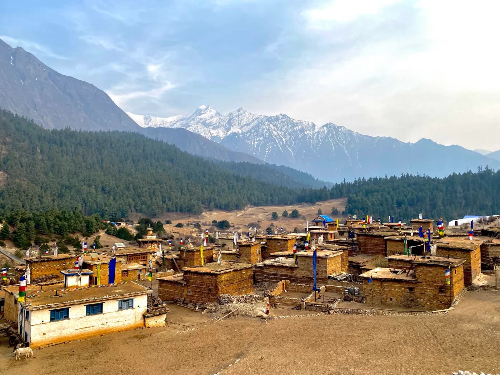
Dolpo
Dolpo is Nepal's remote trans-Himalayan plateau: turquoise Phoksundo Lake in the free-access lower valleys, and the restricted Upper Dolpo of Shey Gompa, Bon and Buddhist villages and the passes above 5,000 m.
- 最高海拔Kang La (about 5,360 m)
- 天数9–27
- 难度困难
- 最佳月份May–Jun, Sep–Oct
- 许可证3 种许可证
照片:Nimasange sherpa · CC BY-SA 4.0
Check that your policy covers helicopter evacuation and trekking at this region's altitude. We don't sell insurance.
What to look forWritten by FindTrekkingPartner team审核人:FindTrekkingPartner team我们如何审核FindTrekkingPartner
Dolpo是尼泊尔的一个徒步地区,路线为 9–27 天,最高海拔 5,360 米。外国徒步者可以在 FindTrekkingPartner 上发布行程,写明日期、预算和节奏,为这里的徒步寻找搭档。在双方徒步者都同意之前,匹配信息保持私密,且服务免费。 按中档价格计算,持证向导在 22 天内的费用为:四名徒步者分摊时每人约 205 美元,一人独自出行则为 821 美元。最佳季节为May–Jun, Sep–Oct。 这里是限制区域,因此通过注册旅行社聘请的持证向导是许可证的一部分,整个团队使用同一份旅行社许可证出行。 这条路线的开放行程列在下方,包含出发月份、团队人数和剩余名额。 最后核实:2026年10月19日。资料来源:尼泊尔旅游局、DNPWC、移民局。
资料来源:Department of Immigration, NepalNepal Tourism BoardDepartment of National Parks and Wildlife Conservation
概览
- 持证向导
- 外国徒步者必须聘请
- 最少人数
- 1 名徒步者
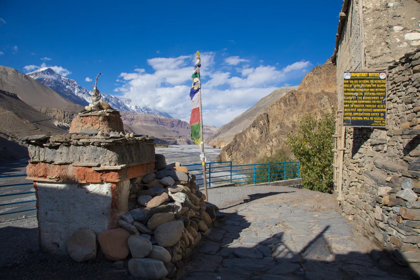
Restricted area (DoI) for Upper Dolpo; NTB rule (Apr 2023), enforced at checkpoints, for lower Dolpo and Phoksundo (checked 19 October 2026). Lower Dolpo and Phoksundo need the Shey Phoksundo National Park permit. Upper Dolpo is a restricted area: a Restricted Area Permit from the Department of Immigration through a registered agency, the national park permit and a licensed guide. Confirm current fees and minimum group size with the agency.
热门路线
出发地
Kathmandu, Nepalgunj, Juphal, Dunai
交通方式
Fly Kathmandu to Nepalgunj (about an hour), then a small plane to Juphal (Dolpa Airport, 2,490 m, about 40 minutes). Flights are weather dependent and often delayed. The trail starts at Juphal and Dunai; there is no road to Phoksundo or Upper Dolpo.
Dolpo, in Dolpa District of north-west Nepal, is a high plateau behind the Dhaulagiri range, where the climate is dry and the culture is Tibetan. Shey Phoksundo National Park, Nepal's largest at 3,555 km2, protects most of it, and the two classic treks start from the same airstrip at Juphal. The Phoksundo Lake trek stays in lower Dolpo and takes about nine days from Kathmandu, with a night or two beside the turquoise lake at about 3,610 m. Upper Dolpo, beyond the Kang La at about 5,360 m, is a restricted area: it needs a Restricted Area Permit through a registered agency and a licensed guide, and the full circuit takes 22 days or more, passing Shey Gompa, Namgung, Saldang and Dho Tarap. Dolpo lies in the rain shadow, so late spring and autumn are best, and the monsoon months can be drier than elsewhere in Nepal. Plan for flight delays and extra days.
Overview of Dolpo
Dolpo is often called the last Tibetan culture on the Nepal side of the border. Villages such as Ringmo, Saldang and Dho Tarap follow Tibetan Buddhism or the older Bon religion, with chortens, mani walls and flags marking the entrance to each settlement. The region is dry and treeless above the Phoksundo valley, and herders still move yaks and goats between summer and winter pastures. For centuries, caravans carried salt from Tibet and barley from the lower valleys across the passes in a barter economy.
Shey Phoksundo National Park was established in 1984. It ranges from about 2,130 m to 6,885 m and is the only trans-Himalayan national park in Nepal. A 2019 to 2022 survey by the Department of National Parks and Wildlife Conservation, supported by WWF, estimated about 90 snow leopards. Phoksundo Lake lies at about 3,611 m, covers 494 hectares and has a depth recorded between 136 and 145 m, depending on the survey. It became a Ramsar site in 2007. The village of Ringmo sits on the ancient landslide that dammed the lake, and the outflow drops over a waterfall of about 167 m.
Dolpo reached wider audiences through Peter Matthiessen's book The Snow Leopard (1978) and the film Himalaya (also known as Caravan, 1999), which was shot in the region.
Best time to trek, month by month
- March: cold, with snow on the high passes and the Upper Dolpo plateau. Flights run, but Kang La is usually impassable until later.
- April: the lower valleys warm up and the first flowers appear. The passes are often still snowy, so April suits Phoksundo more than Upper Dolpo.
- May: clear mornings and warm days in the lower valley; the high passes begin to open late in the month.
- June: one of the best months for Upper Dolpo, because the passes are clear and the plateau is dry. Heat is strong in Dunai.
- July and August: Dolpo is in the rain shadow, so the plateau is drier than most of Nepal, but cloud over the Terai and Nepalgunj can stop flights, and the lower valleys can get landslides.
- September: the cloud clears, harvests begin and the air is very clear. Passes are open.
- October: the best month, with stable weather, golden barley fields and clear views. Nights fall below freezing at Shey and Namgung.
- November: cold, with early snow on the passes. Upper Dolpo is almost closed, but Phoksundo is quiet and clear.
- December to February: winter. Upper Dolpo villages are empty, and the lake freezes, with heavy snow on the trails.
Routes compared
| Trek | Typical days | Highest point | Character |
|---|---|---|---|
| Phoksundo Lake Trek (Lower Dolpo) | 10 | Ringmo, 3,640 m | Short, scenic trek to the lake with no restricted-area permit |
| Upper Dolpo: Shey Phoksundo to Shey Gompa | 22 | Kang La, about 5,360 m | Remote, high and restricted; the crystal mountain, Saldang, Jeng La and Dho Tarap |
The Upper Dolpo route crosses the Jeng La, about 5,100 m, from the Saldang valley to Dho Tarap and out through Tarakot to Dunai. Agencies also run the Dho Tarap route to Phoksundo over the Numa La and Baga La, which lies inside the restricted area, and Dolpo to Jumla or Rara crossings over several weeks.
Permits and rules
Lower Dolpo and Phoksundo need the Shey Phoksundo National Park entry permit. Upper Dolpo, beyond Phoksundo, is a restricted area, so you also need a Restricted Area Permit from the Department of Immigration. It is issued through a registered trekking agency and is charged by the number of days spent in the area. Ask the agency for current fees, and verify them with the Department of Immigration. The park permit is bought at the Juphal or Sulighat checkpoint, but the agency usually handles it.
Guides. Follow the rule: the Nepal Tourism Board rule of April 2023 asks foreign trekkers to use a licensed guide in national parks and conservation areas. 2026 operator reports say checkpoints check for one in Annapurna (ACAP), Langtang (the strictest) and most other parks, while Khumbu is reported to use a municipal trek card instead; practice varies (checked 19 October 2026). See the guide rule by region. In Upper Dolpo there are no hotels in most villages and trails are poorly marked, so a guide and camping gear or homestay arrangements are essential.
Getting there: flights
Flights go from Kathmandu to Nepalgunj in the Terai (about an hour) and then to Juphal (about 40 minutes), where the airstrip sits above Dunai at about 2,490 m. Both legs are weather dependent. Juphal flights are suspended in heavy cloud or wind, and in the monsoon Nepalgunj can be extremely hot, so plan an extra day at each end.
Overland routes exist from Surkhet and from Jumla, but they take several days and are mostly used by local traders and expedition groups.
Altitude and acclimatisation
Ringmo and the lake sit at about 3,640 m, so a night or two there is a gentle start. The Upper Dolpo route climbs to Lar Tsa (about 3,740 m) and Shey Gompa (4,360 m) over the Kang La, an unavoidable gain of about 1,600 m in a day, and the Saldang La and Jeng La cross about 5,100 m. Most itineraries include rest days at Ringmo, Shey and Dho Tarap.
Watch for headache, nausea and poor sleep; never ascend with symptoms, and descend if they worsen. Evacuation in Upper Dolpo can take a full day, so ascend slowly.
Lodges, costs and food
Lower Dolpo has simple lodges at Dunai, Chhepka, Ringmo and Juphal, with dal bhat, noodles and tea. In Upper Dolpo, only a few families host guests, and most itineraries use tents and a cook, so food is carried in and costs more. Permits, food, camping gear and the flights make Upper Dolpo one of the more expensive treks in Nepal.
Connectivity
Phone signal is available in Dunai and Juphal, and sometimes at Ringmo. It disappears beyond Phoksundo. Some villages have satellite phones or very slow internet. Expect to be offline for most of Upper Dolpo.
Safety
Dolpo is remote. Evacuation relies on helicopters from Nepalgunj or Kathmandu, which are weather dependent, so your insurance must cover rescue above 5,000 m. Trails above the lake run along cliffs and loose scree, and the Kang La is a long, exposed day. Water should be filtered. Do not trek alone.
What to pack
Broken-in boots, waterproof layers, a down jacket, a sleeping bag rated to about minus 15 C, gloves, a warm hat, sun protection, trekking poles, a headlamp, water purification and a first-aid kit. A sun hat and lip balm matter, because the plateau is bright and dry. Gaiters help on scree and snow.
History and culture
Dolpo was historically a Tibetan-influenced principality linked to the plateau by trade, and many people still follow the Bon tradition, which pre-dates Buddhism in Tibet. At Ringmo, a Bon monastery and chortens stand near the lake, and further north the Shey Gompa, founded in the 11th century, is a Kagyu monastery beside the Crystal Mountain, a pilgrimage site circled by pilgrims. Saldang is the largest village in Upper Dolpo, and Dho Tarap has both Buddhist and Bon gompas.
Wildlife and nature
Besides snow leopards, the park holds grey wolf, musk deer, blue sheep, Himalayan tahr and Himalayan marmot, as well as lammergeier and eagles. Blue sheep are often seen near Shey. Vegetation changes from birch and fir and rhododendron near Phoksundo to open juniper and steppe on the plateau, and medicinal herbs are collected for local use.
Responsible trekking
Respect monasteries by walking clockwise around chortens and mani walls and asking before taking photographs of people or ceremonies. Take rubbish out, use filtered water, avoid wood fires in the national park, and buy from local families. Gifts should go through the local committee, not to children.
Combining treks
Phoksundo is often followed by a circuit through Do Tarap and Tarakot, or joined to Rara Lake and Jumla over several weeks. A shorter combination is the Phoksundo trek plus the Rara Lake trek in the same trip, using the Nepalgunj hub.
Money, insurance and logistics
Bring enough cash from Kathmandu or Nepalgunj, because Dunai has few services. Insurance must cover trekking above 5,000 m and helicopter evacuation. Flights to Juphal have strict baggage limits, so pack soft bags and expect that bulky items travel separately.
Arranging your trek
Choose a registered agency with experience in Dolpo, ask how many rest days and spare days are built in, and check the camping equipment and cooks. Agree the exact itinerary, including whether you return the same way or continue over the Jeng La, before you pay.
Food and drink
Meals in lower Dolpo are dal bhat, noodles, tsampa and potatoes, and apples and walnuts appear in the lower valley in autumn. Upper Dolpo families brew tea with butter and salt, and barley and buckwheat are the staples, so the menu is simple. Your cook carries rice, lentils, vegetables and eggs for the plateau days. Boil or filter all water, and bring a favourite snack for the long pass days.
Practical tips from the trail
- Start before dawn on the Kang La day: the descent to Shey is long, and the afternoon wind builds.
- Keep a day bag with a warm layer, water, sun cream and snacks, because your porters may be hours behind.
- Plan weather buffers: flights to Juphal rely on clear skies, and a stranded group in Nepalgunj loses days.
- Carry some small gifts for monasteries, such as butter lamp donations, but never give sweets or money to children.
- Dolpo mornings can be freezing even in June, so pack layers for dawn starts.
Porters and animals
Most Upper Dolpo expeditions use porters from Dunai or mule and yak teams for the camping gear. Check that your agency provides proper clothing, insurance and shelter for porters, and that loads are limited to around 20 to 25 kg. Respect the animals: do not buy or ride yaks without the herder's agreement.
Kathmandu before and after
Spend at least one night in Kathmandu before the flights, and keep one or two spare days in the schedule in case the planes do not fly. Nepalgunj has a few hotels, but it is hot and busy.
此地区的所有路线
我们在此涵盖的每条标准路线。点按路线即可打开其逐日行程。
比较路线
按长度、高度、难度或估算费用对路线排序,找到适合你的那条。
按天数 ↑排序
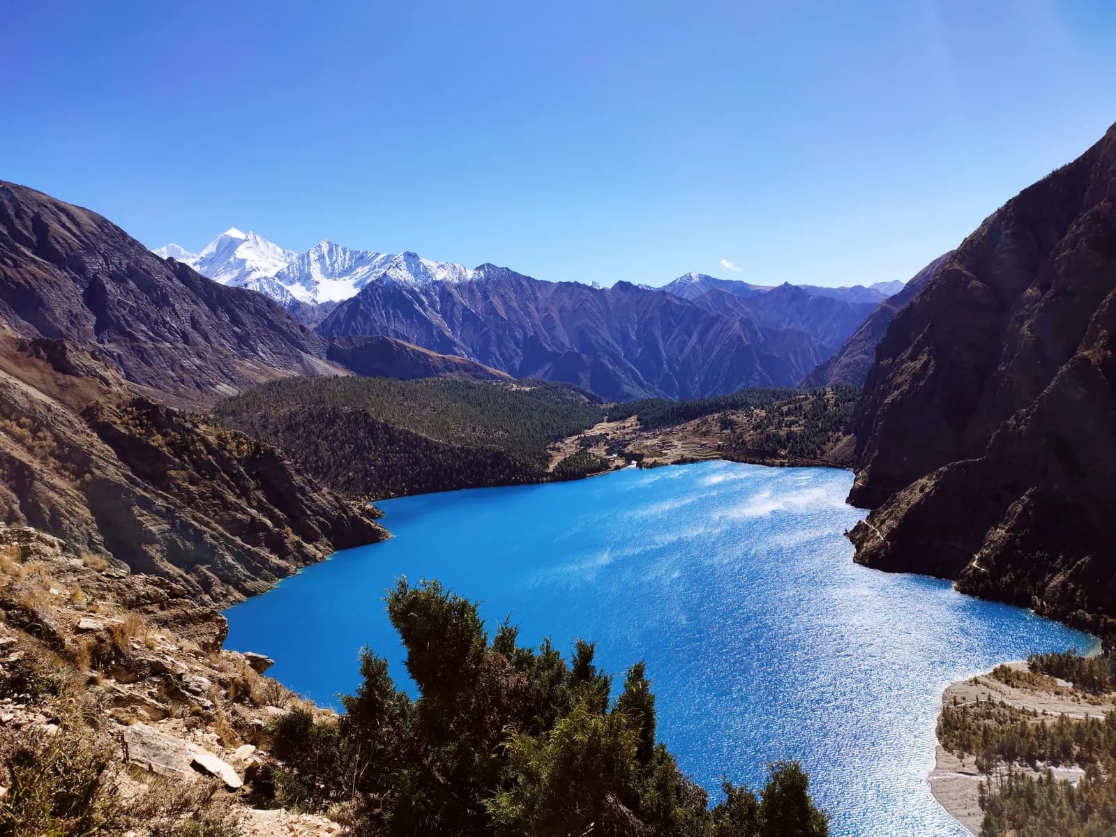
Phoksundo Lake Trek (Lower Dolpo) 草稿
103,640 米90.4 公里
中等逐日行程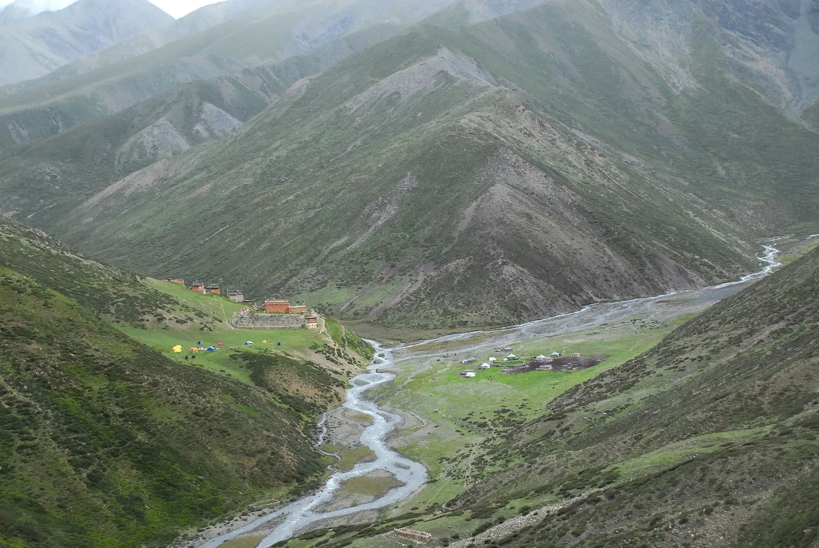
Upper Dolpo: Shey Phoksundo to Shey Gompa 草稿
225,360 米225 公里
困难逐日行程
| 路线 | |||||
|---|---|---|---|---|---|
| Phoksundo Lake Trek (Lower Dolpo) | 10 | 3,640 米 | 中等 | 90.4 公里 | 起价 NPR 41,000 |
| Upper Dolpo: Shey Phoksundo to Shey Gompa | 22 | 5,360 米 | 困难 | 225 公里 | 起价 NPR 90,000 |
费用为估算:该地区经济风格的日均费用乘以天数,不含机票和许可证。
最佳徒步时间
高亮的月份是推荐的徒步季节。 May–Jun · Sep–Oct
最佳季节其他月份
Live conditions
Notes entered by our team from the sources linked on each item. Conditions change quickly, so confirm with your guide or lodge before you set off.
Best seasons: May–Jun · Sep–Oct
Nothing recent on file. Check with your guide or lodge before you go.
许可证与费用
费用按人计算,并取决于你的国籍类别。
| 许可证 | 外国人 | SAARC | 尼泊尔人 |
|---|---|---|---|
Upper Dolpo restricted-area permit | 每天 USD 50 | 请咨询旅行社 | — |
Shey Phoksundo National Park entry permit | NPR 3,000 | NPR 1,500 | — |
TIMS card (trekking agency issued) | NPR 2,000 | NPR 1,000 | — |
- 办理地点
Department of Immigration (restricted-area permit, issued through a registered trekking agency)
Department of National Parks and Wildlife Conservation
Trekking agency / Nepal Tourism Board
每日费用
茶屋徒步的人均每日费用。向导按每队每天计,背夫按每名背夫每天计。 截至 2026年10月。
Phoksundo Lake Trek (Lower Dolpo)的典型总费用,2 位徒步者分摊
- 经济
- US$380–US$580
- 中档
- US$580–US$890
- 舒适
- US$710–US$1,100
| 档次 | 每天 | 向导 / 天 | 背夫 / 天 | 参考合计 |
|---|---|---|---|---|
| 经济 | NPR 2,900–4,800 | NPR 5,000 | NPR 2,750 | NPR 48,900–73,800 |
| 中档 | NPR 4,100–6,500 | NPR 5,000 | NPR 2,750 | NPR 57,700–87,100 |
| 舒适 | NPR 5,500–8,400 | NPR 5,000 | NPR 2,750 | NPR 68,800–102,200 |
经济: Kathmandu to Nepalgunj flight about USD 100 to 140 each way; the Nepalgunj to Juphal fare was not found, flights are weekly and weather-bound.
中档: Kathmandu to Nepalgunj flight about USD 100 to 140 each way; the Nepalgunj to Juphal fare was not found, flights are weekly and weather-bound.
舒适: Kathmandu to Nepalgunj flight about USD 100 to 140 each way; the Nepalgunj to Juphal fare was not found, flights are weekly and weather-bound.
规定与良好做法
向导
- 所有地区
Foreign trekkers must trek with a licensed guide in national parks and conservation areas (in force since April 2023). Enforcement varies by region, so verify the current rule before you go.
许可证
- 所有地区
Carry your permits at all times; they are checked at several checkpoints along every route.
安全与高海拔
- 所有地区
Buy travel insurance that covers helicopter rescue to at least 6,000 m.
- 所有地区
Climb high, sleep low: above 3,000 m, avoid raising your sleeping altitude by more than about 500 m per day, and add rest days.
自然保护
- 所有地区
Carry out all non-burnable waste (batteries, plastic, wrappers) and use a refillable water bottle.
文化
- 所有地区
Respect monasteries: walk clockwise around stupas and mani walls, and remove shoes where asked.
- 所有地区
Ask before photographing people, especially at religious sites and ceremonies.
无人机
- 所有地区
No drones without prior permission from the relevant authority.
照片
常见问题
You need the Shey Phoksundo National Park entry permit, which your agency or the checkpost arranges. Lower Dolpo is not a restricted area.
Yes, a Restricted Area Permit from the Department of Immigration through a registered agency, charged by the number of days in the area, plus the national park permit. Ask for current fees.
No. A licensed guide is compulsory in Upper Dolpo. In lower Dolpo a guide is advised. Follow the rule: the Nepal Tourism Board rule of April 2023 asks foreign trekkers to use a licensed guide in national parks and conservation areas. 2026 operator reports say checkpoints check for one in Annapurna (ACAP), Langtang (the strictest) and most other parks, while Khumbu is reported to use a municipal trek card instead; practice varies (checked 19 October 2026). Confirm with a registered agency. Confirm with a registered agency.
Ten days from Kathmandu on this plan, including the flights, with about six days of walking and a rest day at Ringmo. Weather delays at Nepalgunj or Juphal can add a day or two.
About 3,611 m. Ringmo village on the south shore is at about 3,640 m.
May and June, and September and October. Dolpo lies in the rain shadow, so the plateau can be dry in July and August, but flights are often disrupted in the monsoon. Winter is cold and the passes close.
Fly Kathmandu to Nepalgunj and then to Juphal on a small plane. Both flights are weather dependent, and overland routes take several days.
About 5,360 m, according to OpenStreetMap, the highest point of the Phoksundo to Shey Gompa crossing. Other sources give slightly different figures.
开放行程
关于 Dolpo 的指南
 封面照片: Jmhullot, CC BY 3.0
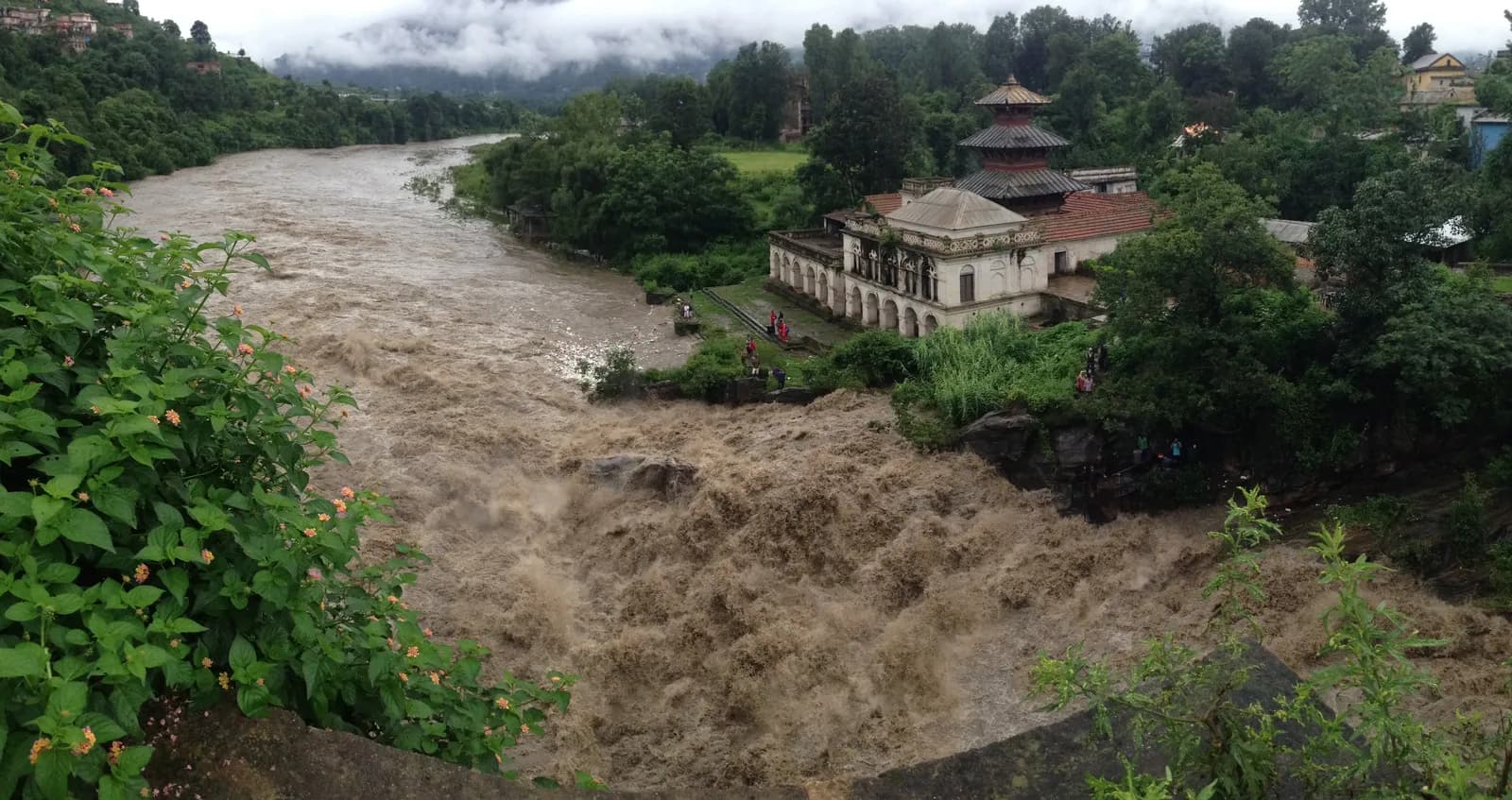 封面照片: Bhuwan Maharjan, CC BY-SA 4.0
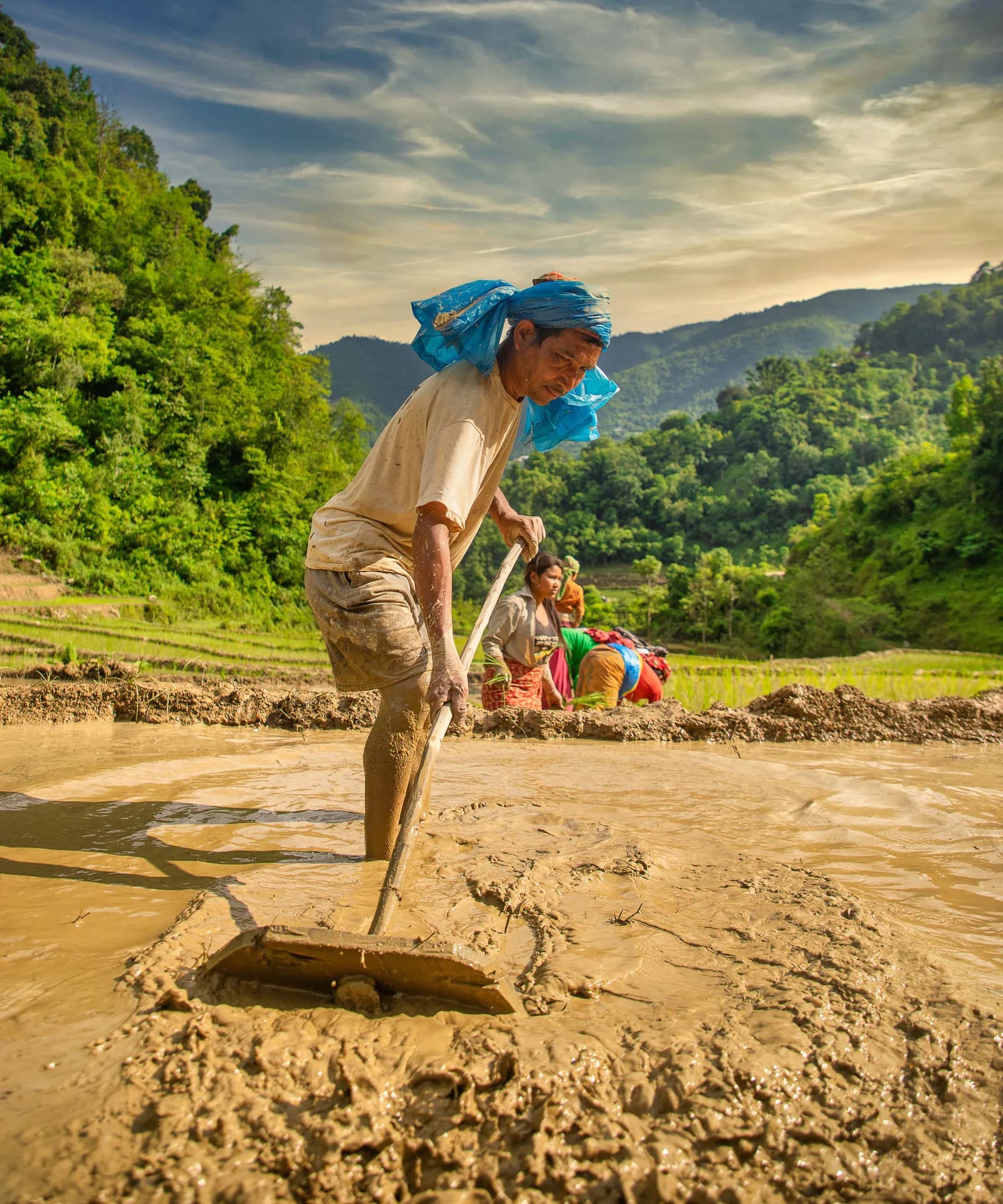 封面照片: Mithunkunwar9, CC BY-SA 4.0
 封面照片: Honorary Consulate of Nepal in Munich., Public domain
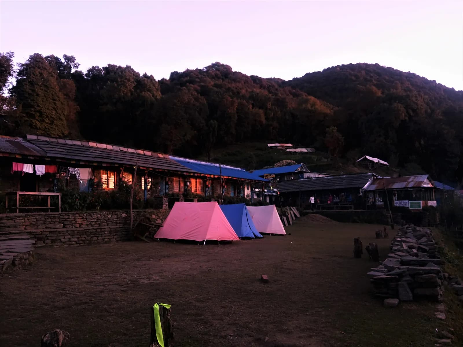 封面照片: Binayaksha Sharma, CC BY-SA 4.0
 封面照片: Gk8719, CC BY-SA 4.0
来源
- Shey Phoksundo National Park (Wikipedia)
- Phoksundo Lake (Wikipedia)
- Dolpo (Wikipedia)
- Dolpa District (Wikipedia)
- Department of National Parks and Wildlife Conservation, Nepal
- Department of Immigration, Nepal
- Restrictions on trekking for foreigners in controlled areas of 13 districts (Kantipur, 6 May 2026)
- Nepal Tourism Board
- OpenStreetMap (elevation tags of passes, peaks and villages)
准备好去Dolpo徒步了吗?
为这些日期找一位徒步搭档,或开始规划你自己的路线。