Ghorepani and Poon Hill area guide: villages, steps and sunrise
A guide to the Ghorepani and Poon Hill area itself: the villages from Birethanti to Ghandruk, what the stone steps are like, how the sunrise works, lodge advice and how to extend toward Khopra.
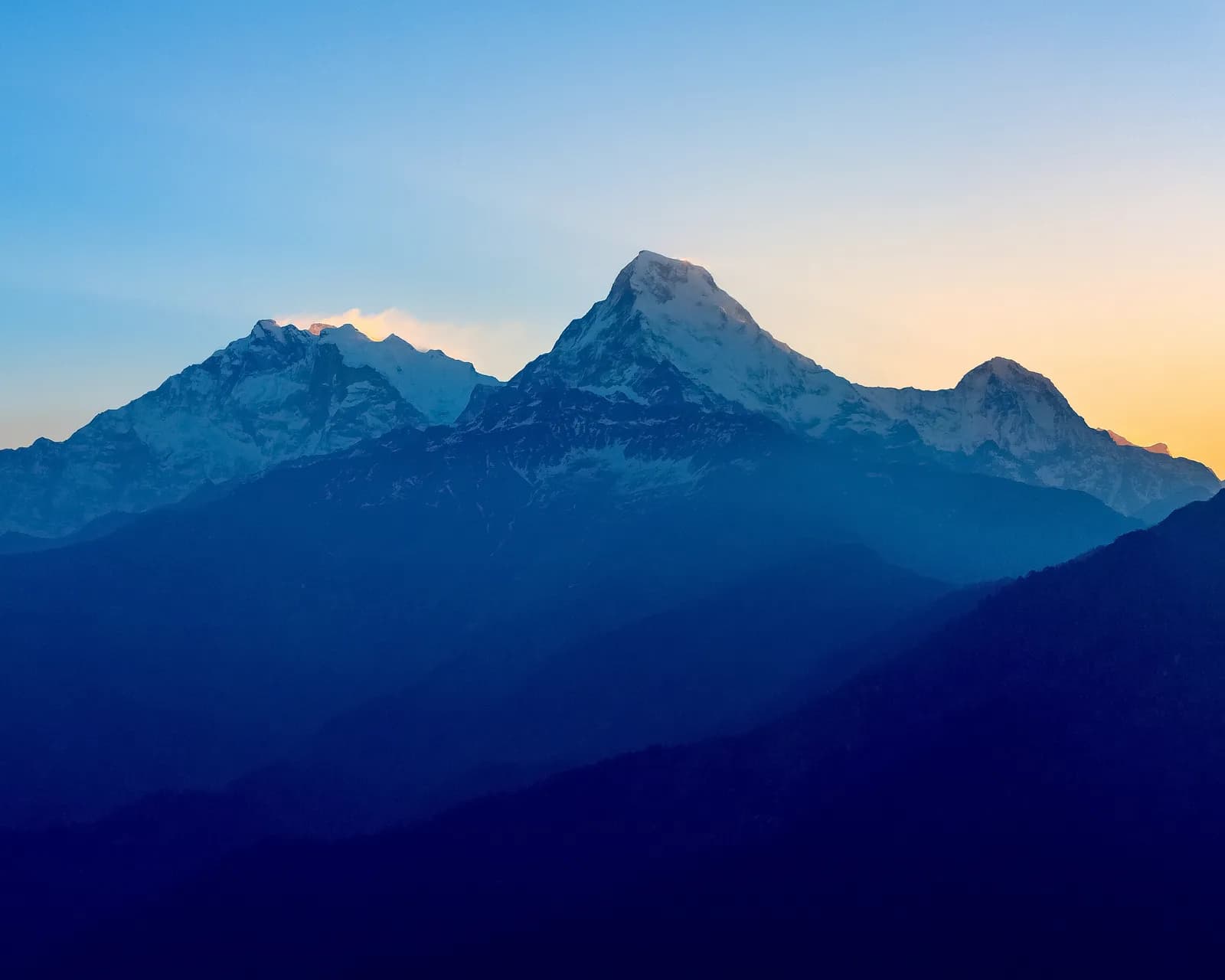
The Ghorepani and Poon Hill area is a ridge of villages and rhododendron forest in the south of the Annapurna Conservation Area, between Birethanti and Ghandruk, and its centrepiece is the sunrise from Poon Hill (3,210 m) above Ghorepani (2,860 m). The standard four-day loop from Pokhara climbs the Ulleri staircase, sleeps at Ulleri, Ghorepani and Tadapani and finishes in Ghandruk. You need an Annapurna Conservation Area permit, NPR 3,000 as of October 2026, and the best months are October and November, then March and April.
This guide is about the area itself rather than a day plan: what each village is like, how the stone steps and the sunrise work, where to stay and how to stretch the walk. For the plan, use the Poon Hill itinerary day by day.
Poon Hill Trek (Ghorepani)的开放行程
由正在寻找搭档的徒步者发布的真实行程。
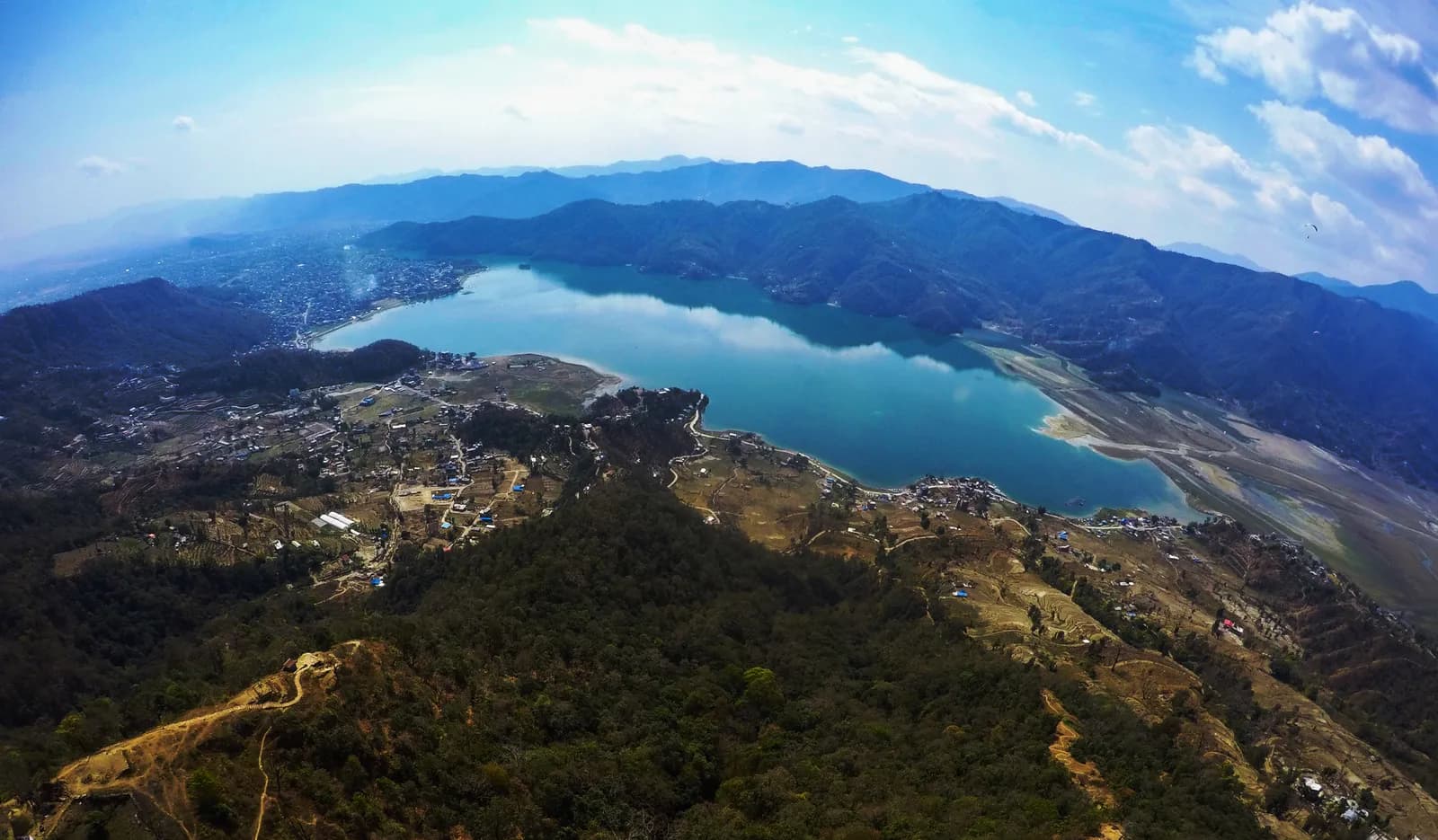
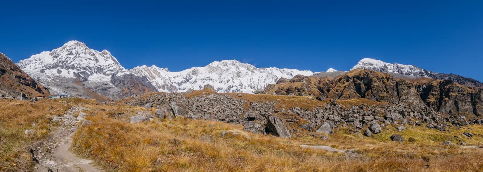
The place on the map
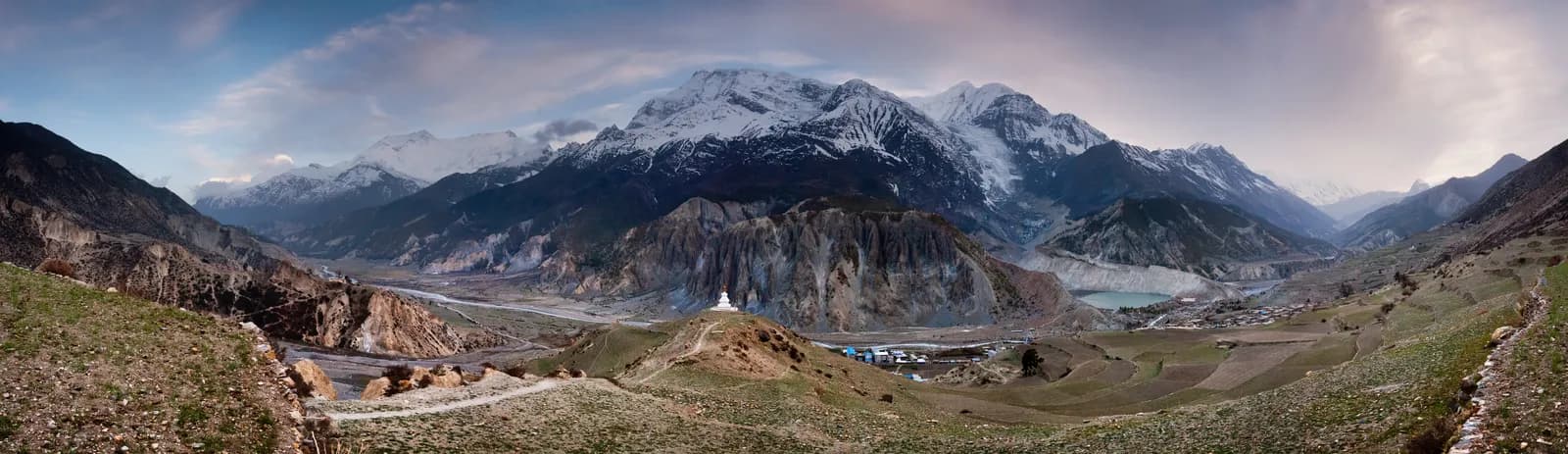
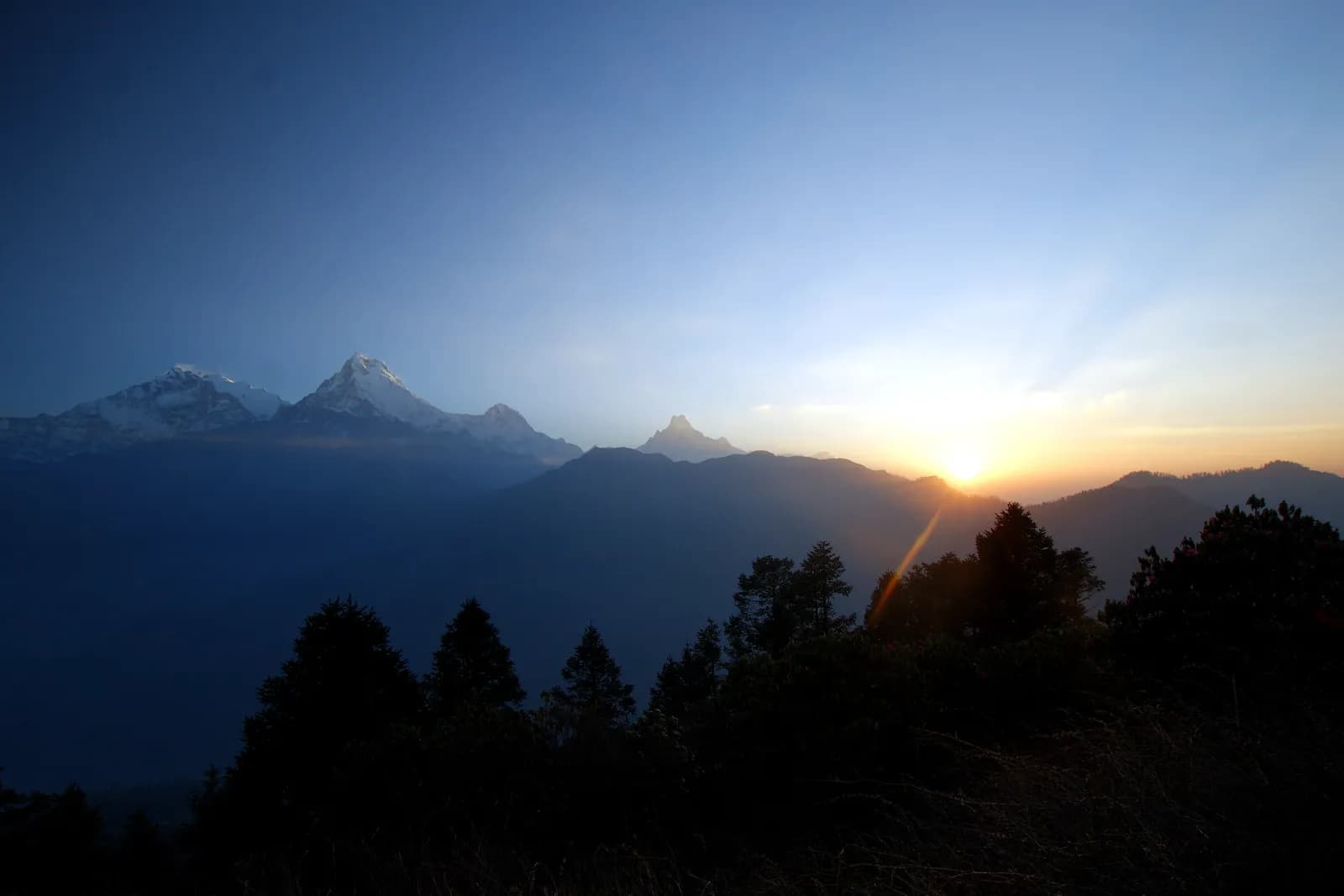
Poon Hill sits above Ghorepani on the border of Myagdi and Kaski districts. From the top you see Dhaulagiri, Annapurna I, Annapurna South and Machhapuchhre in one sweep. Ghorepani itself is a big pass village, mostly lodges, and it is the only place on this loop that gets crowded in the peak months.
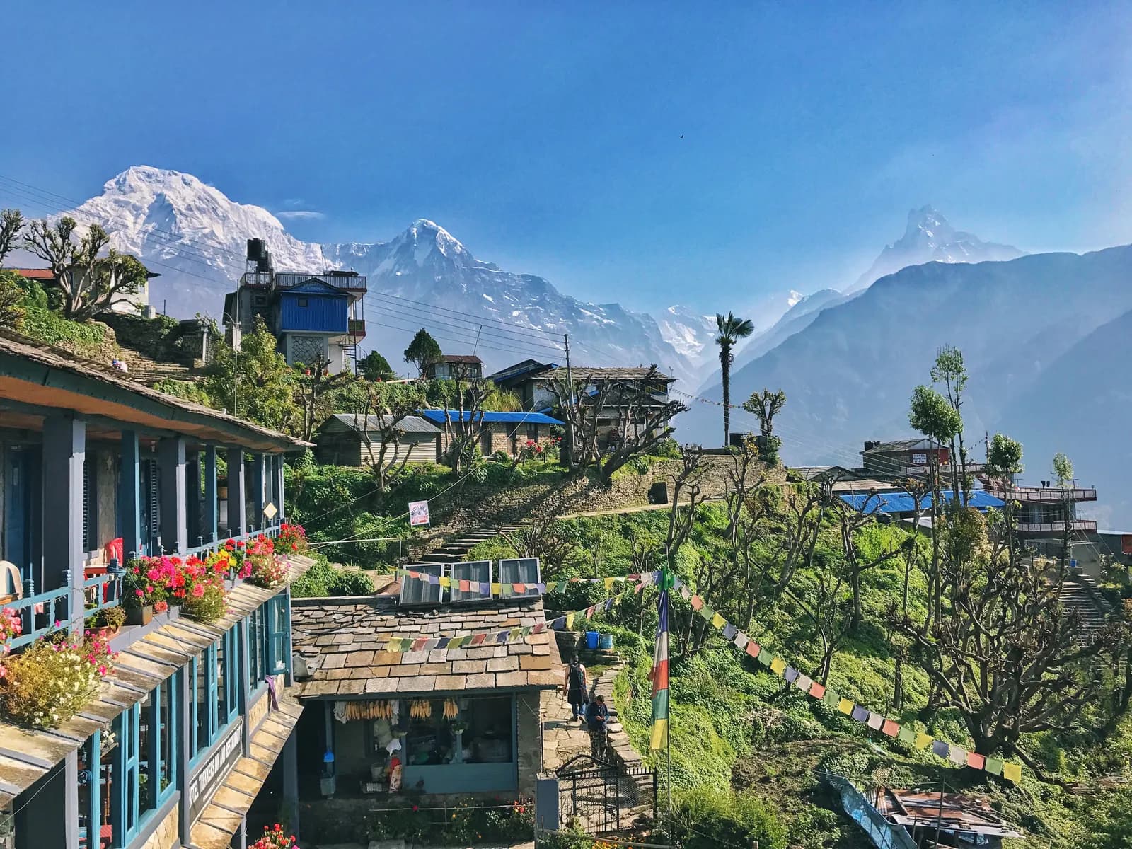
The lower half of the trek is Gurung country. Birethanti is the first checkpoint and the place where permits are inspected, and from there the path follows the Bhurungdi valley past Tikhedhunga and then climbs. Ghandruk, a large Gurung village at about 2,050 m, closes the loop, with stone houses, a museum of Gurung culture and views of Annapurna South and Machhapuchhre. If you only have two days, the Ghandruk village trek shows the same landscape in a shorter form.
Village by village
| Place | Altitude | What it is for |
|---|---|---|
| Birethanti | at the road end | Permit checkpoint, river, tea shops |
| Ulleri | 2,070 m | First night, top of the stone staircase |
| Ghorepani | 2,860 m | Pass village, base for the sunrise |
| Poon Hill | 3,210 m | The viewpoint |
| Tadapani | 2,630 m | Quiet ridge lodges, forest |
| Ghandruk | 2,050 m | Gurung village, museum, end of the loop |
Day one is the one that surprises people. After a drive to Nayapul of about an hour and a half, you walk through Birethanti and up to Tikhedhunga, and then the Ulleri staircase begins: thousands of stone steps climbing through forest to the village. The steps are steep, tiring and slippery when wet, and they are the hardest hour of the whole trek. Walk slowly, use poles, and plan a short, early dinner. Day two continues through oak and rhododendron forest, past Banthanti and Nangethanti, to Ghorepani; in spring the forest is in flower and you may see langur monkeys.
Day three is built around the sunrise. You climb Poon Hill before dawn, about 45 minutes up a staircase through rhododendron forest, then come back to Ghorepani for breakfast and walk the ridge through Deurali and Banthanti to Tadapani, a long day of about six hours with ups and downs. Day four drops to Ghandruk by stone steps and then to Nayapul or Kimche by road or path.
How the sunrise works
Everyone climbs at the same time, so the viewpoint is full. A few things help. Bring a headlamp, because the staircase is dark, and carry a warm layer, because it is below freezing before dawn in winter. Aim to be at the top about 20 minutes before first light, and expect cloud to build by mid-morning, so go even if the sky looks uncertain. Photographers will want spare batteries kept warm in an inner pocket, a moderate zoom for the line of peaks and a wide lens for the full panorama.
If the weather is bad on day three, there is no cost in waiting. Many lodges will let you sleep a second night at Ghorepani, and if you build a spare day into the plan the viewpoint is much less of a gamble. The same applies in November, when clear mornings are common but not guaranteed.
Altitude and fitness
The highest point is 3,210 m, so altitude sickness is rare on this walk but not impossible, especially if you fly to Pokhara and go straight up. Sleep at Ulleri on night one, drink water, and treat a headache that does not clear as a reason to rest. Our altitude sickness basics cover the signs. The real difficulty is the steps. You do not need previous trekking experience, but you do need to be able to climb stairs for several hours on consecutive days.
Permits and the guide rule
The permit is an Annapurna Conservation Area entry permit. As of October 2026 it costs NPR 3,000 for foreigners, NPR 1,000 for SAARC nationals, with children under 10 free; online payment adds 2.9 percent, and a permit issued at a check post costs double. It is checked at Birethanti. A TIMS card may be requested too, and the Nepal Tourism Board lists it at NPR 2,000 for foreigners (SAARC nationals NPR 1,000), plus any agency service charge. See the ACAP permit explainer for how to buy it.
On guides, a licensed guide through a registered agency is required in restricted areas, and under the Nepal Tourism Board rule of April 2023 in national parks and conservation areas, where 2026 operator reports say checkpoints enforce it in Annapurna and Langtang but not in Khumbu (checked 19 October 2026). Poon Hill is inside the conservation area, so check before you go. The route data marks a guide as optional for the walking itself, because the trail is well used, but the checkpoint position matters more than the trail. Read the guide rule by region for the sources.
Lodges, food and costs
Lodges are frequent, so booking ahead is rarely needed except in October and April, when Ghorepani fills by mid-afternoon. Rooms are twin-bedded with blankets and are usually cheaper if you eat your meals at the lodge. Menus run to dal bhat, noodles, eggs, pancakes and apple pie, and hot lemon or ginger tea is welcome after the sunrise. As of October 2026 the regional cost data gives a dal bhat of NPR 500 to 1,000 below 2,500 m and NPR 700 to 1,200 between 2,500 and 3,800 m, a guide day of NPR 2,700 to 4,000 and a porter day of NPR 2,100 to 3,400, as operator market ranges, not official rates. The taxi to Nayapul and back is a line to check, since our sources publish no fare.
Seasons
October and November have the clearest views. March and April bring rhododendron flowers along the ridge. December and January are cold but clear, with some snow near Ghorepani. The monsoon is wet and leech-ridden and the views are poor. Our month-by-month pages on trekking in Nepal in April and trekking in Nepal in October cover the busiest two.
Stretching the walk
You can add a night at Ghorepani, walk from Tadapani to Chhomrong for a night or continue toward the Annapurna Base Camp trail. A three-day version skips Tadapani and returns from Ghorepani by the same path. If you want to go higher and quieter, Khopra Ridge is an 8-day trek that reaches 3,600 m with community-run lodges. See the Khopra Ridge itinerary for the day plan. Poon Hill versus Mardi Himal helps if you are weighing this area against the ridge on the other side of Pokhara.
Sharing the trip
The costs here are small enough that sharing is more about company than money, but a guide and a taxi are cheaper split. Post your dates on the Poon Hill partner page and read how to find a trekking partner safely first.
Where to go next
The Annapurna region page holds the full data and the Annapurna region trekking guide places this walk beside the other four treks. The region guides category lists every guide in the series.