

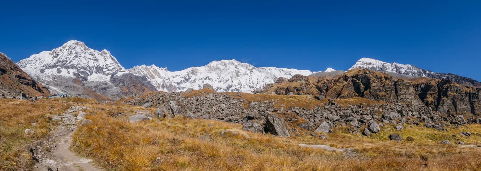
Annapurna
Annapurna offers everything from a four-day Poon Hill walk to the 14-day Circuit over Thorong La. It is Nepal's most varied trekking region, with Gurung and Thakali villages, rhododendron forest and teahouses on every route.
- 最高海拔Thorong La (5,416 m)
- 天数4–18
- 难度简单–困难
- 最佳月份Mar–May, Oct–Nov
- 许可证4 种许可证
照片:Bijay Chaurasia · CC BY-SA 4.0
Check that your policy covers helicopter evacuation and trekking at this region's altitude. We don't sell insurance.
What to look forWritten by FindTrekkingPartner team审核人:FindTrekkingPartner team我们如何审核FindTrekkingPartner
Annapurna是尼泊尔的一个徒步地区,路线为 4–18 天,最高海拔 5,416 米。外国徒步者可以在 FindTrekkingPartner 上发布行程,写明日期、预算和节奏,为这里的徒步寻找搭档。在双方徒步者都同意之前,匹配信息保持私密,且服务免费。 按中档价格计算,持证向导在 7 天内的费用为:四名徒步者分摊时每人约 44 美元,一人独自出行则为 175 美元。最佳季节为Mar–May, Oct–Nov。 这里实际上需要持证向导:据2026年的运营商反映,尼泊尔旅游局2023年4月的规定在国家公园和保护区的检查站得到执行,其中朗唐最严格,安纳布尔纳也会检查(2026年10月19日核查)。请通过注册旅行社聘请向导,并向他们确认。 这条路线的开放行程列在下方,包含出发月份、团队人数和剩余名额。 最后核实:2026年10月21日。资料来源:尼泊尔旅游局、DNPWC、移民局。
资料来源:Department of Immigration, NepalNepal Tourism BoardDepartment of National Parks and Wildlife Conservation
- 为Annapurna Base Camp Trek寻找搭档22 个开放行程
- 为Annapurna Circuit Trek寻找搭档4 个开放行程
- 为Poon Hill Trek (Ghorepani)寻找搭档3 个开放行程
- 为Tilicho Lake Trek寻找搭档3 个开放行程
- 为Mardi Himal Trek寻找搭档26 个开放行程
- 为Khopra Ridge Trek寻找搭档暂无开放行程
- 为Nar Phu Valley Trek寻找搭档暂无开放行程
概览
- 持证向导
- 外国徒步者必须聘请
- 最少人数
- 1 名徒步者
NTB rule (Apr 2023), enforced at checkpoints in the Annapurna Conservation Area (ACAP); TIMS checks vary. Checked 19 October 2026; see /guide-rule-nepal.
热门路线
出发地
Pokhara, Kathmandu, Besisahar
交通方式
Most treks start from Pokhara (6 to 8 hours by road or about 25 minutes by air from Kathmandu); the Circuit starts at Besisahar. Jomsom has morning flights to Pokhara, weather permitting.
The Annapurna region of central Nepal is the country's largest protected area and its most varied trekking ground. Within a few days of Pokhara you can walk through terraced Gurung villages and rhododendron forest to the Poon Hill sunrise, climb the Mardi Himal ridge, reach Annapurna Base Camp at 4,130 m, or commit to the Annapurna Circuit, which crosses Thorong La (5,416 m) between the Marsyangdi and Kali Gandaki valleys. Trails are served by teahouses, and most start a short drive from Pokhara, so even a four-day walk is possible. Spring (March to May) and autumn (October to November) are best. Choose by time and altitude: Poon Hill needs four days and stays below 3,300 m, while the Circuit needs two weeks and demands careful acclimatisation. Whatever you choose, book permits in Pokhara or Kathmandu, travel light, and leave a spare day for road or flight delays on the way out.
Overview of the region
The Annapurna Conservation Area covers about 7,629 km2 across the districts of Manang, Mustang, Kaski, Myagdi and Lamjung, and it is the largest protected area in Nepal. It runs from low subtropical valleys at about 800 m up to Annapurna I at 8,091 m, so a single trek can cross rice terraces, oak and rhododendron forest, alpine meadow and the dry, windswept country of Manang and Mustang. The conservation area is managed under the Annapurna Conservation Area Project, which has run since the mid-1980s and which has helped to shape lodges, trail upkeep and waste rules.
The region is home to Gurung and Magar villages in the south (Ghandruk, Chhomrong, Tadapani), Thakali communities in the Kali Gandaki (Marpha, Tukuche), and Tibetan-influenced people in Manang and Mustang. Many lodges are family-run, and local food is part of the experience: apples and apple brandy in Marpha, millet raksi, buckwheat bread and Gurung dishes lower down.
Best time to trek, month by month
- March: cool, clear mornings and early rhododendron. Higher passes may still hold snow.
- April: the spring peak. Rhododendrons flower on the southern slopes (Ghorepani, Ghandruk), skies are mostly clear and lodges fill.
- May: warmer and hazier, with a good window before the monsoon. Cloud often builds by afternoon.
- June to August: monsoon. The southern routes (Poon Hill, Annapurna Sanctuary) are wet, leech-prone and cloudy. The northern Circuit sections beyond Chame and Mustang sit in the rain shadow and stay far drier.
- September: the monsoon fades; trails are green and the air clears toward the end.
- October: the most popular month, with the steadiest weather and views.
- November: colder but very clear; lodges are quieter, and passes get more snow late in the month.
- December to February: cold, with deep snow on the high routes. Poon Hill and Ghandruk stay walkable; the Sanctuary has an avalanche risk, and Thorong La can be closed.
Routes compared
| Trek | Typical days | Highest point | Character |
|---|---|---|---|
| Poon Hill | 4 | Poon Hill, 3,210 m | Short, easy-to-moderate, famous sunrise |
| Mardi Himal | 5 | about 4,500 m viewpoint | Ridge walk with close views of Machapuchare |
| Annapurna Base Camp | 7 | 4,130 m | Classic amphitheatre of peaks, steep stone steps |
| Khopra Ridge | 8 | 3,600 m | Quieter ridge, community-run lodges |
| Annapurna Circuit | 14 | Thorong La, 5,416 m | Full crossing, big variety, serious altitude |
If you have only a long weekend, Poon Hill is the answer. If you have a week and want to see the Annapurna massif up close, choose Annapurna Base Camp (ABC); for fewer people and a ridge walk, Mardi Himal or Khopra.
Permits and rules
Most routes require an Annapurna Conservation Area entry permit, obtainable from the Nepal Tourism Board in Kathmandu or Pokhara, and a TIMS card where your agency or the checkpoint requires one. Permits are checked at gates such as Birethanti, Besisahar and Chame. Restricted areas such as Nar Phu and Upper Mustang need separate permits and are covered in their own guides. Check the current fees and where to buy them with the issuing offices, not a third-party price list.
Solo trekking and guides. The Nepal Tourism Board April 2023 rule requires foreign trekkers to use a licensed guide in national parks and conservation areas, and 2026 operator reports say checkpoints enforce it in Annapurna (ACAP), Langtang (the strictest) and most other parks, but not in Khumbu, where the municipality opted out (checked 19 October 2026). See the guide rule by region. Reports since then conflict on enforcement, so confirm the current rule with the Tourism Board or a registered agency. A guide or guide-porter is useful for the Circuit's pass day and for any trek in winter or after snow, and is sensible on every route.
Getting there: road and air
Most treks start from Pokhara, about 6 to 8 hours by road or 25 minutes by air from Kathmandu. From Pokhara, a taxi or jeep reaches Nayapul (for Poon Hill and Ghandruk), Phedi or Kande (for Mardi Himal and Dhampus), and Siwai or Jhinu for the Sanctuary. The Circuit usually starts from Besisahar, around 7 to 9 hours from Kathmandu by road, with jeep roads now reaching Dharapani, Chame, Manang and beyond. The southern end finishes at Jomsom, from where you can fly to Pokhara (morning flights, weather permitting), take a jeep, or walk on to Tatopani and Ghorepani.
Roads have changed the Circuit. Jeep tracks follow much of the Marsyangdi valley and the Kali Gandaki, so many trekkers skip the road sections by driving the first day or two, or walk higher variants such as the upper Pisang to Ngawal route. Check which sections are on trail and which on road before you plan.
Altitude and acclimatisation
Poon Hill, Ghandruk and the lower Sanctuary stay below 3,300 m, but Annapurna Base Camp (4,130 m), Mardi Himal's upper ridge (up to about 4,500 m) and Thorong La (5,416 m) require care. The same rules apply as elsewhere in the Himalaya: ascend gradually, add a rest day every few days above 3,000 m, climb high and sleep low, drink fluids, and never ascend with symptoms. In Manang the Himalayan Rescue Association post gives daily altitude talks in season, and the village is built around a rest day. Thorong La is the highest point and a long day, so sleep at Thorong Phedi or High Camp and start before dawn.
Lodges, costs and food
Teahouses are simple but plentiful. The Sanctuary and Poon Hill routes have lodges every hour or two, while Khopra and parts of Mardi Himal have fewer, more basic places. Rooms are inexpensive and meals are the main cost; menus include dal bhat, noodles, pizza and apple pie in Marpha. Prices climb with altitude and distance from the road. In many villages, community-run lodges and hot springs (Jhinu Danda, Tatopani) are welcome rest stops. Carry rupees, because ATMs exist in Pokhara, Besisahar, Manang and Jomsom but are unreliable.
Connectivity
Mobile signal covers the lower valleys and many of the main villages, and Wi-Fi is available at most lodges, usually for a fee. Signal drops in side valleys and on high passes. Download offline maps and tell someone your daily plan; do not rely on a call for safety.
Safety
- Avalanches are a real risk in the Sanctuary between Deurali and Machhapuchhre Base Camp after snowfall, especially in spring and winter. Ask lodge owners before moving.
- The Thorong La crossing is long and cold. A blizzard in October 2014 killed dozens of people near the pass; start at dawn, watch the weather and turn back if conditions worsen.
- Stone steps on the Ulleri and Ghorepani trails are steep and slippery when wet.
- Landslides can close roads in the monsoon; leave time in your plans.
- Keep your insurance details with you, and use boiled or treated water.
What to pack
Waterproof boots, merino or synthetic base layers, a fleece, a warm down jacket, a shell jacket and trousers, warm hat and gloves, sun hat, sunglasses, strong sunscreen, trekking poles, a headlamp, a water bottle with purification, a first-aid kit with blister care, and a sleeping bag if you will be above 3,500 m (lodges provide blankets but they vary). For Thorong La add insulated gloves, goggles and a thick hat.
Culture and etiquette
Southern Annapurna is Gurung and Magar country, with villages such as Ghandruk, Chhomrong and Tadapani. Many Gurung men served in the British and Indian armies, and the Gurung Museum in Ghandruk explains the culture and history. In Manang and Mustang, communities are Tibetan Buddhist and in the Kali Gandaki the Thakali people run apple orchards, distilleries and some of the best lodges in Nepal. Muktinath, below Thorong La, is sacred to Hindus and Buddhists and draws pilgrims who bathe at the 108 water spouts.
Walk clockwise around mani walls and stupas, dress modestly in religious sites and ask before photographing people. In Marpha, try apple brandy and fresh apple pie, and buy local products to support the community.
Responsible trekking and the conservation area
The Annapurna Conservation Area has been a model for community-based conservation since the mid-1980s. Entry fees help fund trail maintenance, schools and clinics, and lodges follow rules on firewood, waste and kerosene. Carry out your plastic, use refill stations where available, take only photographs and do not feed animals. The popular trails show signs of heavy use, and spreading your visit to quieter months or routes such as Khopra and Mardi Himal helps share the benefit more widely.
Choosing a trek by time and fitness
With two to four days, choose Poon Hill. With five days and a love of ridge walks, choose Mardi Himal. With seven days and reasonable fitness, choose Annapurna Base Camp. With eight days and a taste for quiet, choose Khopra Ridge. With two weeks and a good record at altitude, choose the Annapurna Circuit, or shorten it by starting at Chame or Pisang. If you are doubtful about altitude, start with Poon Hill or ABC and move up to the Circuit later.
Money, insurance and logistics
Permits, transport and lodging are straightforward to arrange in Pokhara, which has gear shops, an airport, buses and a lakeside tourist district. Buy permits at the Nepal Tourism Board office, or have your agency do so. Insurance should cover trekking to 5,500 m and helicopter evacuation, because Thorong La is the highest point. Carry rupees, and keep a small amount in small notes for lodges that do not give change.
Wildlife and nature
The conservation area spans a huge range of habitats, and more than 1,200 plant species, a long bird list and animals such as Himalayan tahr, musk deer, langur monkeys and, rarely, snow leopard have been recorded. In the forests below Ghorepani look for rhododendron, oak and, in spring, calling cuckoos and colourful pheasants. In the dry upper Marsyangdi and Mustang, blue sheep graze on the slopes and lammergeiers glide above the passes. Do not feed or approach animals, and keep your distance from yaks and mules on narrow trails.
此地区的所有路线
我们在此涵盖的每条标准路线。点按路线即可打开其逐日行程。
比较路线
按长度、高度、难度或估算费用对路线排序,找到适合你的那条。
按天数 ↑排序
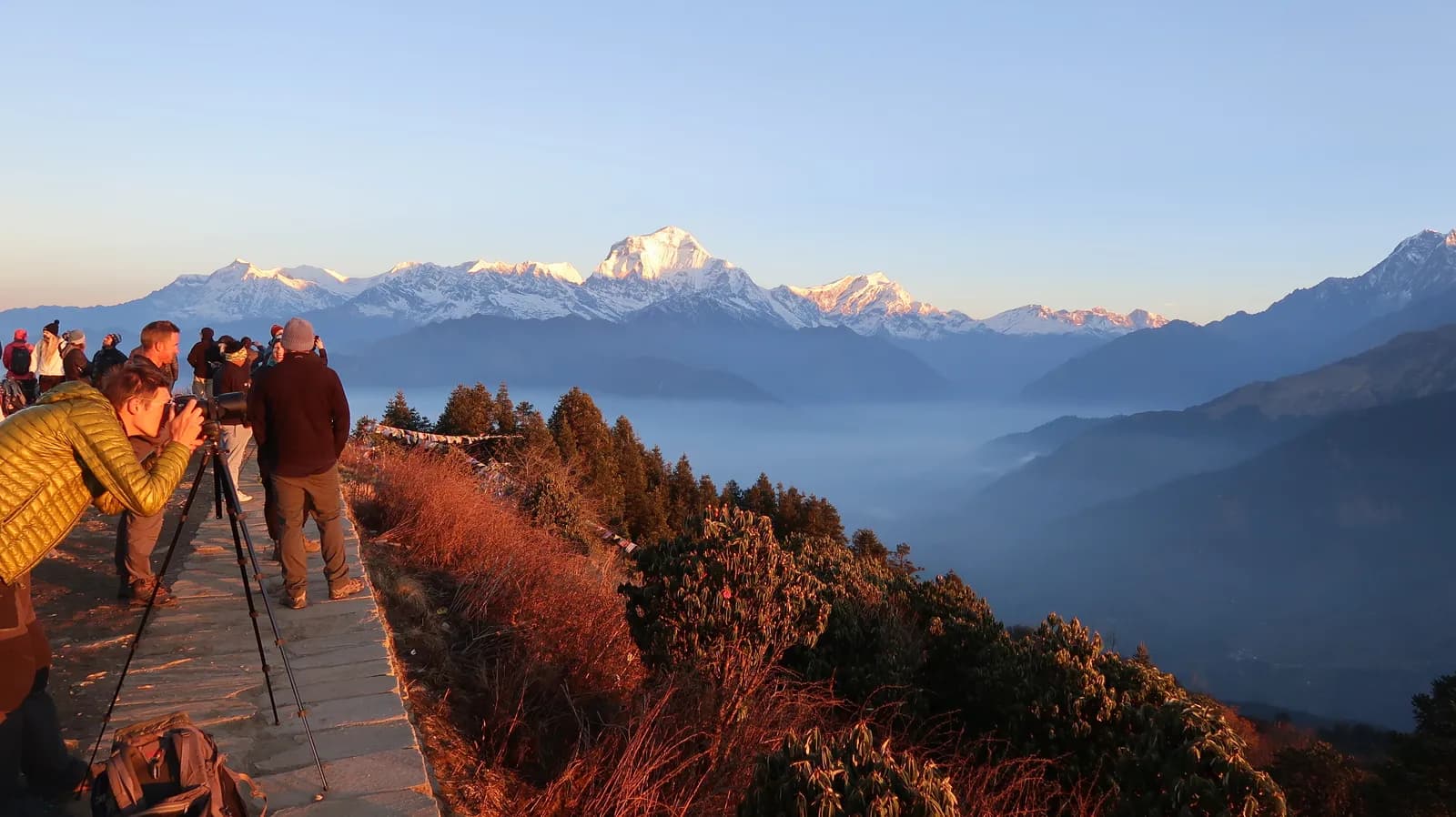
Poon Hill Trek (Ghorepani)
43,210 米35.7 公里
简单逐日行程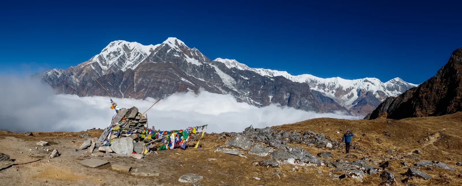
Mardi Himal Trek 草稿
54,500 米41.3 公里
中等逐日行程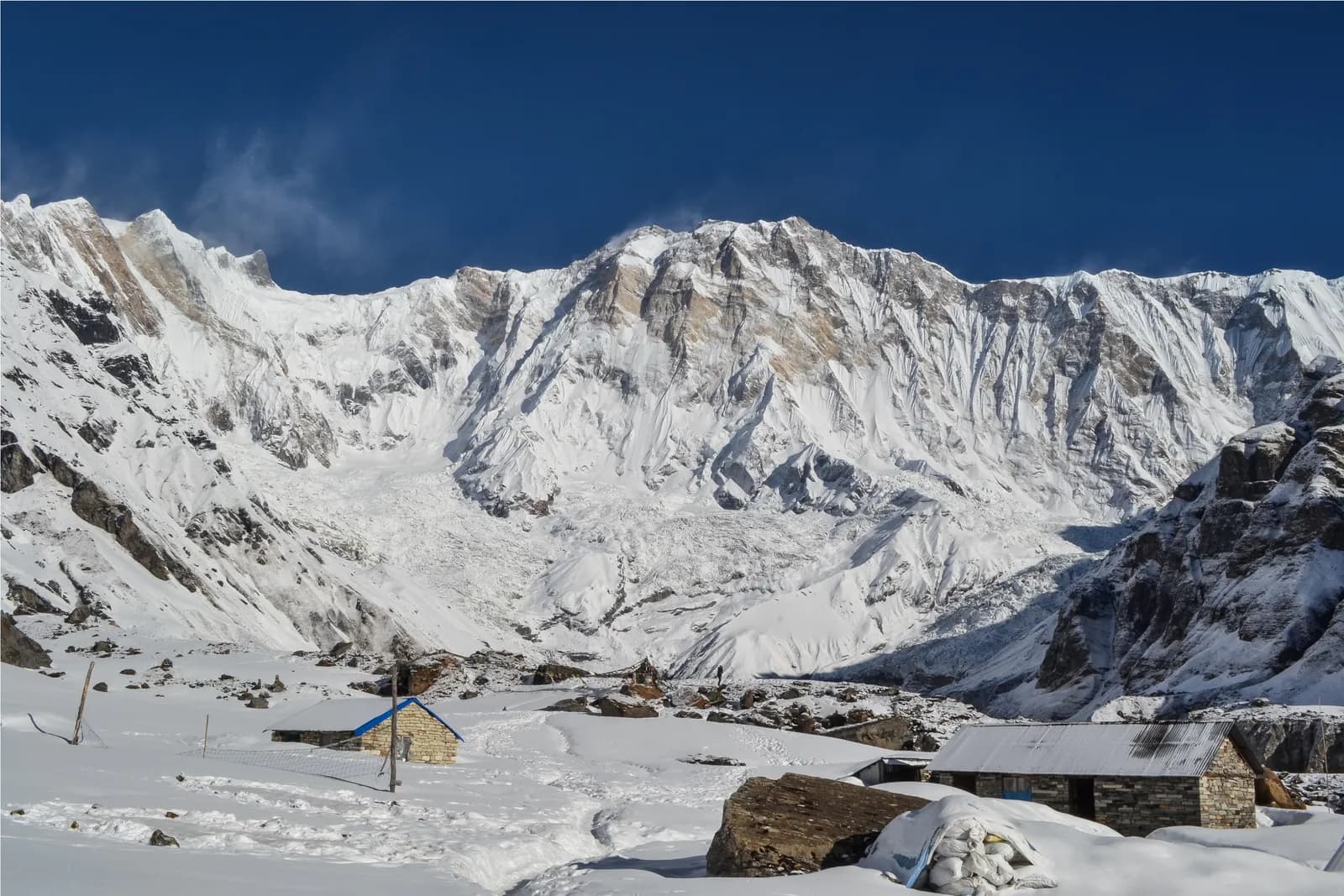
Annapurna Base Camp Trek
74,130 米62.5 公里
中等逐日行程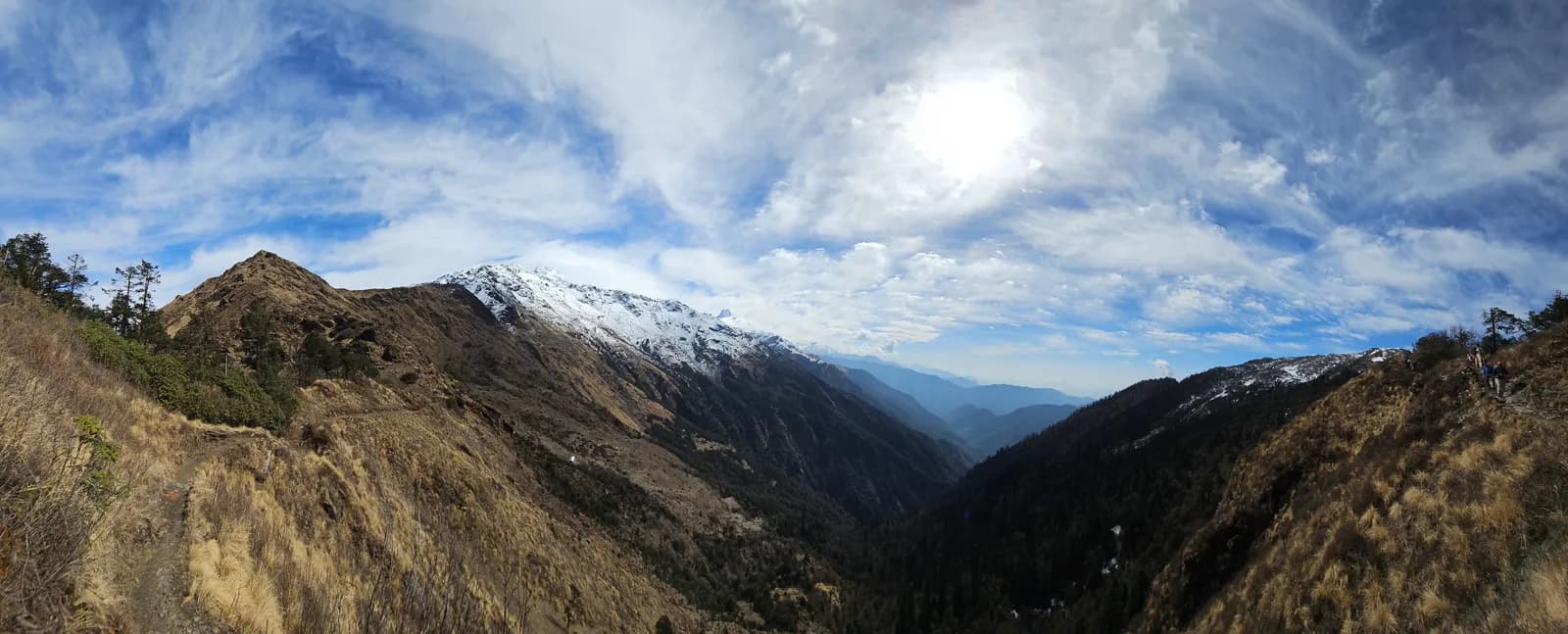
Khopra Ridge Trek 草稿
83,600 米64.7 公里
中等–困难逐日行程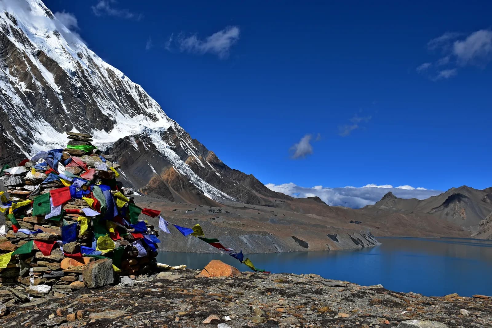
Tilicho Lake Trek 草稿
104,920 米87.8 公里
困难逐日行程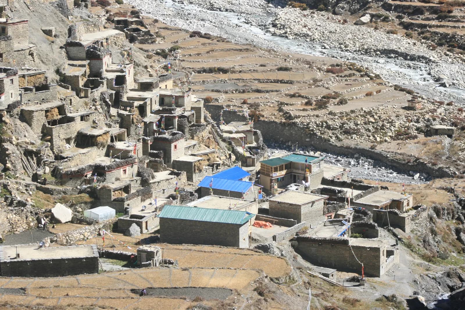
Nar Phu Valley Trek 草稿
115,306 米82.4 公里
困难逐日行程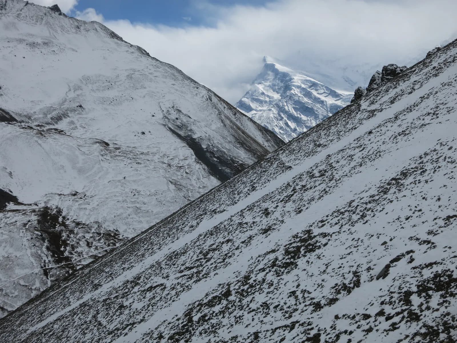
Annapurna Circuit Trek
145,416 米175 公里
困难逐日行程
| 路线 | |||||
|---|---|---|---|---|---|
| Poon Hill Trek (Ghorepani) | 4 | 3,210 米 | 简单 | 35.7 公里 | 起价 NPR 15,000 |
| Mardi Himal Trek | 5 | 4,500 米 | 中等 | 41.3 公里 | 起价 NPR 19,000 |
| Annapurna Base Camp Trek | 7 | 4,130 米 | 中等 | 62.5 公里 | 起价 NPR 27,000 |
| Khopra Ridge Trek | 8 | 3,600 米 | 中等–困难 | 64.7 公里 | 起价 NPR 30,000 |
| Tilicho Lake Trek | 10 | 4,920 米 | 困难 | 87.8 公里 | 起价 NPR 38,000 |
| Nar Phu Valley Trek | 11 | 5,306 米 | 困难 | 82.4 公里 | 起价 NPR 42,000 |
| Annapurna Circuit Trek | 14 | 5,416 米 | 困难 | 175 公里 | 起价 NPR 53,000 |
费用为估算:该地区经济风格的日均费用乘以天数,不含机票和许可证。
最佳徒步时间
高亮的月份是推荐的徒步季节。 Mar–May · Oct–Nov
最佳季节其他月份
Live conditions
Notes entered by our team from the sources linked on each item. Conditions change quickly, so confirm with your guide or lodge before you set off.
Best seasons: Mar–May · Oct–Nov
Nothing recent on file. Check with your guide or lodge before you go.
许可证与费用
费用按人计算,并取决于你的国籍类别。
| 许可证 | 外国人 | SAARC | 尼泊尔人 |
|---|---|---|---|
Annapurna Conservation Area Permit (ACAP) | NPR 3,000 | NPR 1,000 | NPR 100 |
TIMS card | NPR 2,000 | NPR 1,000 | 无需办理 |
Nar Phu (Manang restricted area) permit (Sep–Nov)9月–11月 | 前 7 天 USD 100,之后每天 USD 15 | 请咨询旅行社 | — |
Nar Phu (Manang restricted area) permit (Dec–Aug)12月–8月 | 前 7 天 USD 75,之后每天 USD 15 | 请咨询旅行社 | — |
- 办理地点
Nepal Tourism Board offices in Kathmandu and Pokhara, or checkpoints
Nepal Tourism Board offices in Kathmandu (Bhrikutipath) and Pokhara
Nepal Tourism Board offices in Kathmandu (Bhrikutipath) and Pokhara, usually arranged by your agency
Department of Immigration (restricted-area permit, issued through a registered trekking agency)
- 所需材料
Passport copy, 2 passport photos (or digital), travel insurance details, itinerary
每日费用
茶屋徒步的人均每日费用。向导按每队每天计,背夫按每名背夫每天计。 截至 2026年10月。
| 档次 | 每天 | 向导 / 天 | 背夫 / 天 | 参考合计 |
|---|---|---|---|---|
| 经济 | NPR 2,900–4,300 | NPR 3,350 | NPR 2,750 | NPR 18,600–29,200 |
| 中档 | NPR 3,800–5,600 | NPR 3,350 | NPR 2,750 | NPR 23,400–37,300 |
| 舒适 | NPR 4,900–7,100 | NPR 3,350 | NPR 2,750 | NPR 29,800–45,700 |
经济: Kathmandu to Pokhara tourist bus NPR 800 to 2,500 each way; Pokhara to Jomsom flight about USD 120 to 200 each way. Jeep fares from Pokhara or Besisahar to trailheads are not published in the sources we found.
中档: Kathmandu to Pokhara tourist bus NPR 800 to 2,500 each way; Pokhara to Jomsom flight about USD 120 to 200 each way. Jeep fares from Pokhara or Besisahar to trailheads are not published in the sources we found.
舒适: Kathmandu to Pokhara tourist bus NPR 800 to 2,500 each way; Pokhara to Jomsom flight about USD 120 to 200 each way. Jeep fares from Pokhara or Besisahar to trailheads are not published in the sources we found.
规定与良好做法
向导
- 所有地区
Foreign trekkers must trek with a licensed guide in national parks and conservation areas (in force since April 2023). Enforcement varies by region, so verify the current rule before you go.
许可证
- Annapurna
ACAP checkpoints operate at Birethanti, Ghandruk, Chhomrong, Manang and elsewhere; keep your permit handy.
- 所有地区
Carry your permits at all times; they are checked at several checkpoints along every route.
安全与高海拔
- Annapurna
Cross Thorong La early in the morning, before strong winds and afternoon weather arrive.
- 所有地区
Buy travel insurance that covers helicopter rescue to at least 6,000 m.
- 所有地区
Climb high, sleep low: above 3,000 m, avoid raising your sleeping altitude by more than about 500 m per day, and add rest days.
自然保护
- 所有地区
Carry out all non-burnable waste (batteries, plastic, wrappers) and use a refillable water bottle.
文化
- Annapurna
By local custom, no meat or eggs are sold above the Machhapuchhre Base Camp area on the ABC route.
- 所有地区
Respect monasteries: walk clockwise around stupas and mani walls, and remove shoes where asked.
- 所有地区
Ask before photographing people, especially at religious sites and ceremonies.
无人机
- 所有地区
No drones without prior permission from the relevant authority.
照片
常见问题
Poon Hill (4 days, highest point 3,210 m) is the easiest. Annapurna Base Camp (7 days) is the classic first big trek if you have good fitness and a week.
Allow 14 days from Kathmandu on this plan, with an acclimatisation day at Manang. The road has shortened the trek, so many people start at Chame or Pisang and finish at Jomsom or Muktinath, which takes 8 to 12 days.
October and November, then March to May. In the monsoon the southern routes are wet, but the Circuit north of Chame and Mustang lie in the rain shadow.
An Annapurna Conservation Area entry permit and, where required, a TIMS card, both from the Nepal Tourism Board. Restricted areas such as Upper Mustang and Nar Phu need extra permits. Check current fees with the issuing offices.
The Nepal Tourism Board April 2023 rule requires foreign trekkers to use a licensed guide in national parks and conservation areas, and 2026 operator reports say checkpoints enforce it in Annapurna (ACAP), Langtang (the strictest) and most other parks, but not in Khumbu, where the municipality opted out (checked 19 October 2026). Confirm with a registered agency, and plan on a guide on the Circuit and in winter.
Thorong La is 5,416 m. It is the highest point of the Annapurna Circuit and most trekkers cross from Manang to Muktinath.
Yes, jeep roads reach Manang and Muktinath and cover much of the lower valleys. Thorong La and the Ghorepani to Poon Hill section remain trail only.
The southern trails are wet and cloudy, with leeches. The northern Circuit and Upper Mustang are in the rain shadow and are far drier.
开放行程
关于 Annapurna 的指南
 封面照片: Poonhillguide, CC BY-SA 4.0封面照片: Prabeshsdev, CC BY-SA 4.0
 封面照片: valcker from Paris, CC BY 2.0
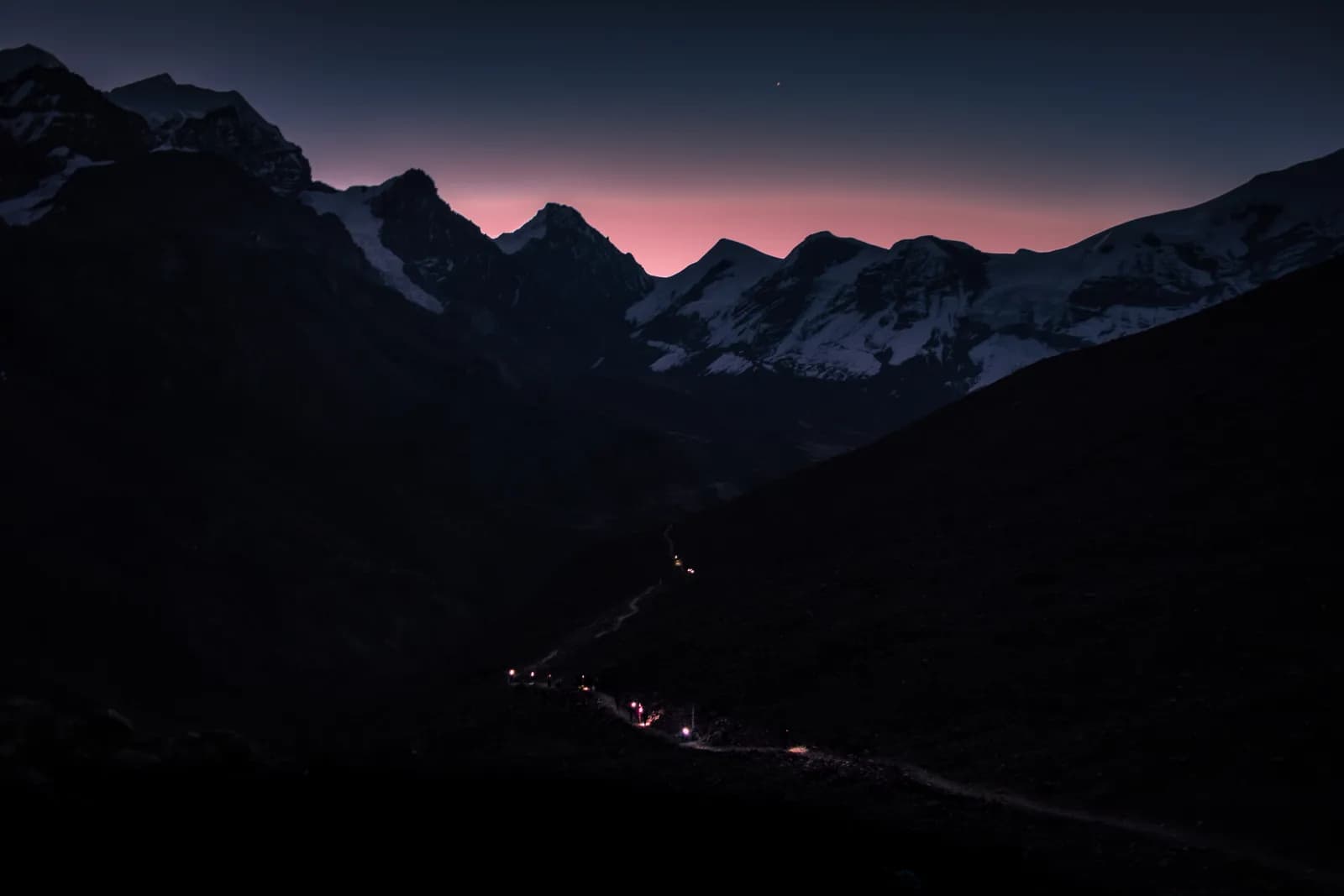 封面照片: Anil Bhatta, CC BY-SA 4.0
 封面照片: Bijay Chaurasia, CC BY-SA 4.0
 封面照片: Bgabel, CC BY-SA 3.0
来源
- Annapurna Conservation Area (Wikipedia)
- National Trust for Nature Conservation (ACAP)
- Department of National Parks and Wildlife Conservation, Nepal
- Nepal Tourism Board
- Annapurna Circuit (Wikipedia)
- Thorong La (Wikipedia)
- Poon Hill (Wikipedia)
- Himalayan Rescue Association
- OpenStreetMap (elevation tags of passes, peaks and villages)
准备好去Annapurna徒步了吗?
为这些日期找一位徒步搭档,或开始规划你自己的路线。