Annapurna Circuit itinerary, day by day
A 14-day Annapurna Circuit itinerary with sleeping altitudes, the Thorong La crossing hour by hour, where jeeps and flights let you shorten the walk and which days to protect.
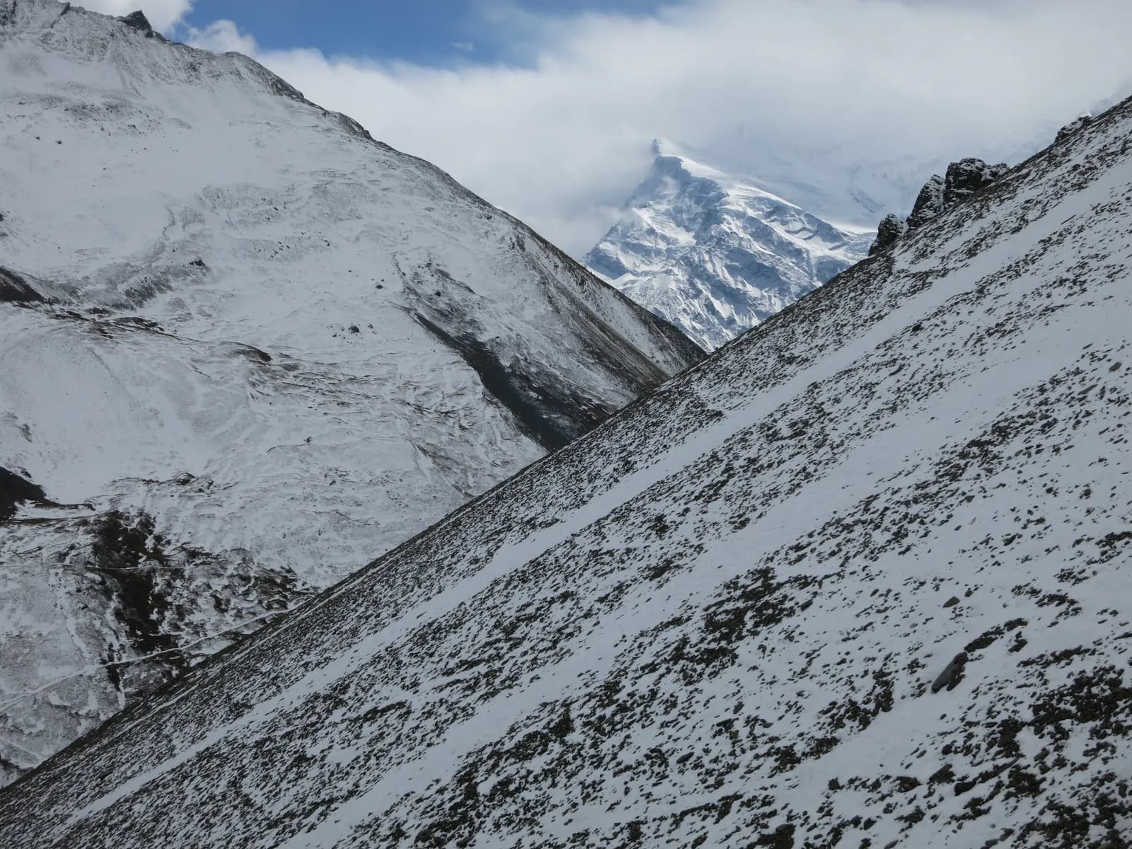
The Annapurna Circuit in this itinerary takes 14 days: drive up the Marsyangdi valley to Dharapani, walk to Manang for two nights, cross Thorong La (5,416 m) from Thorong Phedi to Muktinath, descend the Kali Gandaki valley to Jomsom and Kalopani, then drive to Tatopani and finish with the Ghorepani and Poon Hill climb before going down to Pokhara. It is the longest of the classic Annapurna treks and the only one that crosses a high pass.
This guide gives the day-by-day plan with sleeping altitudes, the Thorong La day hour by hour and the places where roads and flights let you shorten the walk. For the region overview see the Annapurna guide, and for the route data the Annapurna Circuit page.
Annapurna Circuit Trek için açık geziler
Partner arayan trekkingcilerin paylaştığı gerçek geziler.
The 14 days at a glance
| Day | From - to | Time | Sleep |
|---|---|---|---|
| 1 | Kathmandu - Dharapani | 9-10 h drive | 1,860 m |
| 2 | Dharapani - Chame | 5-6 h | 2,670 m |
| 3 | Chame - Upper Pisang | 5-6 h | 3,300 m |
| 4 | Upper Pisang - Ngawal (high route) | 4 h | 3,600 m |
| 5 | Ngawal - Manang | 4 h | 3,540 m |
| 6 | Manang (rest day) | 3-5 h hike | 3,540 m |
| 7 | Manang - Yak Kharka | 4 h | 4,050 m |
| 8 | Yak Kharka - Thorong Phedi | 3-4 h | 4,540 m |
| 9 | Thorong Phedi - Thorong La - Muktinath | 8-10 h | 3,800 m |
| 10 | Muktinath - Jomsom | 5 h | 2,720 m |
| 11 | Jomsom - Kalopani | 5-6 h | 2,530 m |
| 12 | Kalopani - Tatopani | 3 h drive | 1,190 m |
| 13 | Tatopani - Ghorepani | 7-8 h | 2,860 m |
| 14 | Ghorepani - Pokhara | 6-7 h plus drive | 820 m |
Days 1 to 3: the Marsyangdi valley
Day 1 is a long drive via Besisahar to Dharapani at 1,860 m, a steep green valley with waterfalls. If you want an easier first day you can start walking at Besisahar or Bulbule instead. Day 2 climbs through Bagarchhap, Danaque and Timang to Chame (2,670 m), the district headquarters with a cash machine, shops and hot springs. On day 3 the walk passes below the huge curved rock face of Paungda Danda, and the landscape turns Tibetan in character, with chortens, prayer flags and apple orchards at Upper Pisang (3,300 m).
Day 4: the high route to Ngawal
From Upper Pisang take the upper route through Ghyaru (about 3,700 m) to Ngawal (3,600 m). It is steep but one of the finest paths on the circuit, with Annapurna II, Annapurna III, Gangapurna and Tilicho Peak in view. The lower route via Humde is faster but less scenic. The sleeping altitude change is small, so this is a good day to gain scenery without gaining much sleeping height.
Days 5 and 6: Manang and the rest day
Manang (3,540 m) has stone alleys, bakeries and a small cinema. The Himalayan Rescue Association post gives afternoon altitude talks in the trekking seasons, and you should attend. On the rest day choose a short acclimatisation hike to the viewpoint above Gangapurna Lake, or the longer climb to Ice Lake (Kicho Tal) at about 4,600 m, then return to sleep at 3,540 m. Do not push hard: the aim is to be ready for the pass.
Days 7 and 8: Yak Kharka and Thorong Phedi
Yak Kharka (4,050 m) is a short four-hour day designed for acclimatisation, with the nights becoming cold. The next day climbs a steep slope to Thorong Phedi (4,540 m), passing a rock face where landslides sometimes close the trail. Some groups continue to High Camp at 4,880 m for a shorter crossing; others sleep at the Phedi. The sleeping gains are about 510 m and 490 m, close to the roughly 500 m per night that the CDC suggests above 3,000 m.
Day 9: crossing Thorong La (5,416 m)
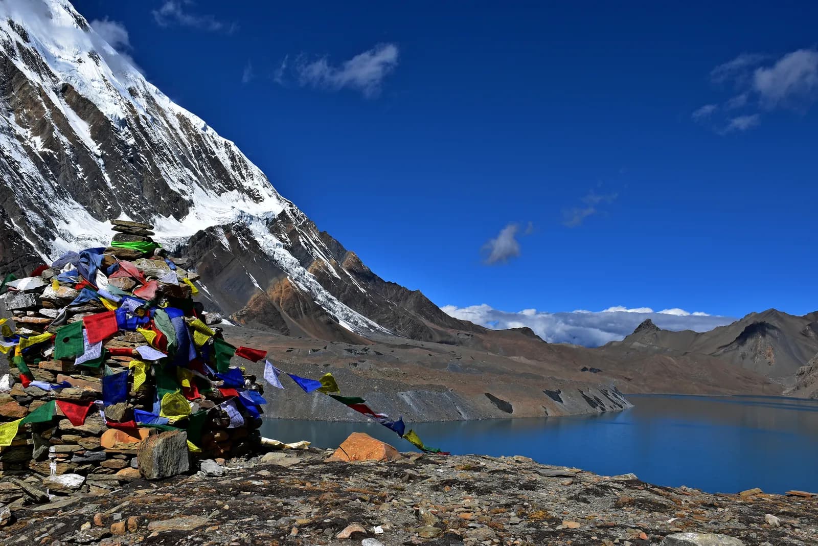
Start by 4 or 5 am with a headlamp. The zigzag climb to the pass takes four to five hours from Thorong Phedi, with prayer flags at the top and views of Dhaulagiri and the Mustang peaks. Then comes a long descent of about 1,600 m to Muktinath (3,800 m), a temple complex sacred to Hindus and Buddhists. The whole day is eight to ten hours and hard on the knees, so use poles and keep drinking. Turn back if the weather closes in: a lost day at the Phedi is far better than being caught on the pass. Our altitude sickness guide lists the symptoms that mean going down.
Days 10 and 11: the Kali Gandaki
Day 10 runs through Jharkot and Kagbeni, a medieval village at the gateway to Upper Mustang, to Jomsom (2,720 m). The wind rises through the morning, so start early. Jomsom has an airport, and many trekkers fly to Pokhara from here. If you continue, day 11 follows the river through Tukuche and Marpha, a tidy Thakali village known for apples and apple brandy, to Kalopani (2,530 m). In some seasons jeeps are available for part of the day.
Days 12 to 14: Tatopani, Ghorepani and Poon Hill
Day 12 is a three-hour drive down one of the deepest gorges in the world to Tatopani (1,190 m), where hot springs by the river reward you for the pass. Day 13 is the hard climb of about 1,700 m to Ghorepani (2,860 m) through stone steps and rhododendron forest. On day 14 climb Poon Hill (3,210 m) before dawn in about 45 minutes, then descend through Ulleri to Nayapul and drive to Pokhara in about 90 minutes.
Ways to shorten it
| Option | What you skip | Time saved |
|---|---|---|
| Fly Jomsom to Pokhara after day 10 | Days 11 to 14 | About 4 days |
| Jeep from Dharapani onwards | The lower valley road sections | Varies with the road |
| Skip the Poon Hill finish | Day 13 and the early part of day 14 | 1 to 2 days |
Keep the Manang rest day and the Yak Kharka and Thorong Phedi stops in any version, because they are what make the crossing safe. Flights from Jomsom operate in the morning and are often delayed by wind, so allow a spare day if you plan to fly.
Is 14 days enough?
It is the shortest sensible version, and it leaves no weather buffer. The days that cannot be cut are the rest day at Manang and the night at Thorong Phedi. Add one spare day before the pass if you can: a snowfall or a headache at Yak Kharka is much easier to absorb if the schedule has slack. Many trekkers add a day at Manang or an extra stop between Chame and Pisang, which also lets you enjoy the villages instead of just passing through them.
Sharing and costs
The guide, porter and jeep lines are the ones that fall with group size. See how to find a partner safely and compare other itineraries. If you are choosing between this and a shorter trek, read the best time for the Annapurna Circuit too.