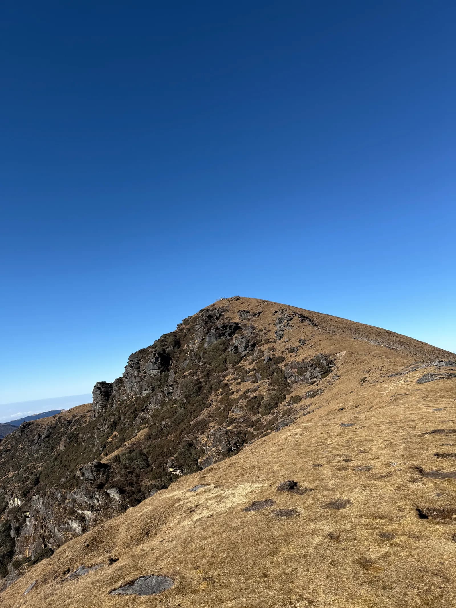
Dudh Kunda trek guide: the sacred lake below Numbur Himal
The six-day Dudh Kunda trek from Ringmu via Taksindu and Sano Beni to a sacred lake at about 4,560 m: day by day, difficulty, lodging gaps, permits, the August pilgrimage and who should go.
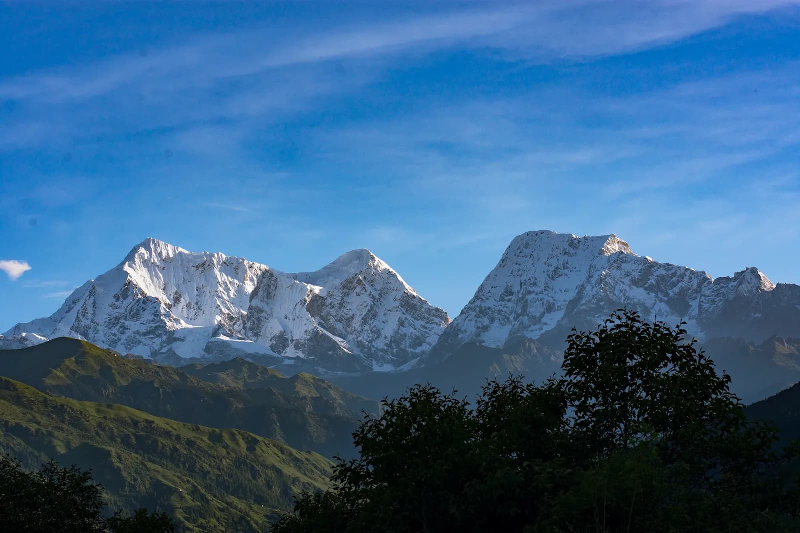
The Dudh Kunda trek is a six-day walk from the village of Ringmu, above Salleri in Solukhumbu, to a glacial lake at about 4,560 m under Numbur Himal that is sacred to Hindus and Buddhists. A jeep takes you from Kathmandu to Ringmu in about ten to eleven hours, the trail climbs through Taksindu to the inn at Sano Beni at about 4,000 m, and a day trip reaches the lake and returns. It is rated hard for its length because you sleep at 4,000 m on two nights after climbing about 1,300 m in one day, and it suits fit trekkers who have already spent time above 3,500 m. The Dudh Kunda route page has the day plan.
The short answer for planners: this is a quiet, culturally rich trek with a real altitude test, thin lodging at the top and no checkpoint hurdles. It pairs well with Pikey Peak in the same region, which is easier.
Dudh Kunda Trek का खुला ट्रिपहरू
साथी खोजिरहेका ट्रेकरहरूले पोस्ट गरेका वास्तविक ट्रिपहरू।
Day by day
Day 1: Kathmandu to Ringmu. About ten hours by jeep to Salleri and an hour more up the hill, according to the Kathmandu Post. The road crosses several ridges and can be slowed by landslides in the monsoon. Ringmu, at about 2,800 m, is known for its blue and white painted houses.
Day 2: Ringmu to Taksindu. A short walk of about 2.2 km and 250 m, one to two hours by our estimate, to Taksindu (about 2,925 m), which has a Sherpa monastery below Taksindu La, a pass at about 3,070 m where a Buddhist gate stands. Use the afternoon to visit the monastery and acclimatise.
Day 3: Taksindu to Sano Beni. The big climb: about 12 km and 1,310 m, seven to eight hours by our estimate, on a marked path with rhododendron forest below and open pasture above. Operator notes mention the Kamu Dada hotel and Aakhey Pokhari lakes as stops. Sano Beni is at about 4,010 m on the elevation model.
Day 4: Dudh Kunda and back. About 10.5 km round trip with 660 m of climbing and descent, six to seven hours in all. The Kathmandu Post writer climbed about three hours to the lake at 4,561 m under Numbur Himal, which is held sacred, and returned to Sano Beni the same day. The weather often turns, so start early.
Day 5: Sano Beni to Ringmu. About 12.8 km and 1,410 m of descent, five to six hours by our estimate, back along the ridge through Taksindu. Kamidanda, the viewpoint above Ringmu, shows Everest and Kanchenjunga on a clear day.
Day 6: Ringmu to Kathmandu. An hour to Salleri and about ten hours onward; the Post and Nepal Traveller give eight to twelve hours depending on conditions. Leave early, because daylight matters on the mountain road, and keep a spare day before an international flight.
Difficulty and acclimatisation
Dudh Kunda is hard because the profile is front-loaded. You go from a short easy day at 2,925 m to a 1,300 m climb to 4,000 m, then sleep there twice. There is no scheduled rest day: the lake day at Sano Beni is part of the acclimatisation, not a spare day. If you have a headache that worsens on the night at Sano Beni, descend to Taksindu rather than climbing to the lake. Our acclimatisation schedule guide and altitude sickness basics explain the rules.
Lodging: the thin part
Lodging is thin at Sano Beni. The Post writer found only a roughly built house, and the operator notes route through Taksindu and Sano Beni with a few hotels on the way. Confirm with your agency before you go what will be open and who carries food. Take a warm sleeping bag rated well below freezing, a down jacket, gloves, a hat, waterproofs, a headlamp and snacks. Alpine Adventure Club sells a longer cultural trail through Taksindu and Nunthala for people who want more villages and fewer nights at altitude.
Permits and the guide question
No restricted-area permit is needed, and the route is outside Sagarmatha National Park, so its entry permit does not apply. Ask your agency whether the local municipality collects a fee. On the guide: for national parks and conservation areas the written rule is the Nepal Tourism Board announcement of April 2023 (we found no separate Department of Immigration or DNPWC notice), and 2026 operator reports say checkpoints enforce it in Annapurna (ACAP) and Langtang, the strictest, and most other parks, but not in Khumbu (checked 19 October 2026). Solu has no checkpoint report that we found, but the ridge above Taksindu is lightly marked and Sano Beni is thin, so most trekkers go with an agency or a local guide. See guide rule by region and our permits overview.
The pilgrimage and when to go
The lake is revered by Hindus and Buddhists, and some regard it as the abode of Shiva. Locals and pilgrims gather in the full-moon week of August, when the weather is wet. March to May and September to November are the trekking seasons. At other times of year you are unlikely to meet anyone at the lake, and trails are quiet outside August. If you go for the festival, bring serious rain gear and treat the ceremony respectfully: stand back, ask before photographing and ask your guide about local custom around the water. Do not confuse this lake with the Dudhkunda in the Gaurishankar area of Dolakha.
A weather plan for lake day
The Post's account notes that the weather often turns at the lake, and a day of six to seven hours at 4,000 m and above is not the moment to improvise. Agree a turnaround time with your guide before leaving Sano Beni, for example heading down if you have not reached the lake by a fixed hour, and carry a waterproof shell, a warm layer, water and lunch in your day pack. If clouds close in and the path is hard to follow, turn back; the lake will still be there tomorrow only if you have a spare day, which this plan does not include, so build one in if your schedule allows it. Many operators sell the trek as seven days or more for exactly that reason.
Costs and sharing
The Kathmandu Post gives NPR 13,000 per person for its own Dudh Kunda trip, which reflects budget independent travel. The pack's dated cost data (checked 18 October 2026) gives a guide day rate of NPR 4,000 to 6,000 and a porter day rate of NPR 2,100 to 3,400, with 5 guide days and 4 porter days, and shows the road leg as a line to check because no fare is published in our sources. The jeep and the guide are the shared costs. Find someone to share them on the Dudh Kunda partner page, and see the trekking partner hub for how it works.
Getting there
Drive Kathmandu to Ringmu by jeep in ten to eleven hours, or fly to Phaplu and drive up. Public buses and shared jeeps run to Salleri. Landslides can close the road in the monsoon. Our getting to Nepal trailheads guide covers how to plan road days and buffers.
Verdict
Choose Dudh Kunda if you want a pilgrimage lake, a monastery village and quiet trails, and you can handle two nights at 4,000 m in basic lodging. If you want something easier and with better views of Everest, choose Pikey. For the whole district see the Solu region page and the Nepal trekking regions guide.