Tamang Heritage Trail itinerary, day by day
A 7-day Tamang Heritage Trail itinerary from Kathmandu: Syabrubesi, Gatlang, Tatopani hot springs, Nagthali, Thuman and Briddim, with sleeping altitudes, homestay notes and a check-conditions warning for 2026.

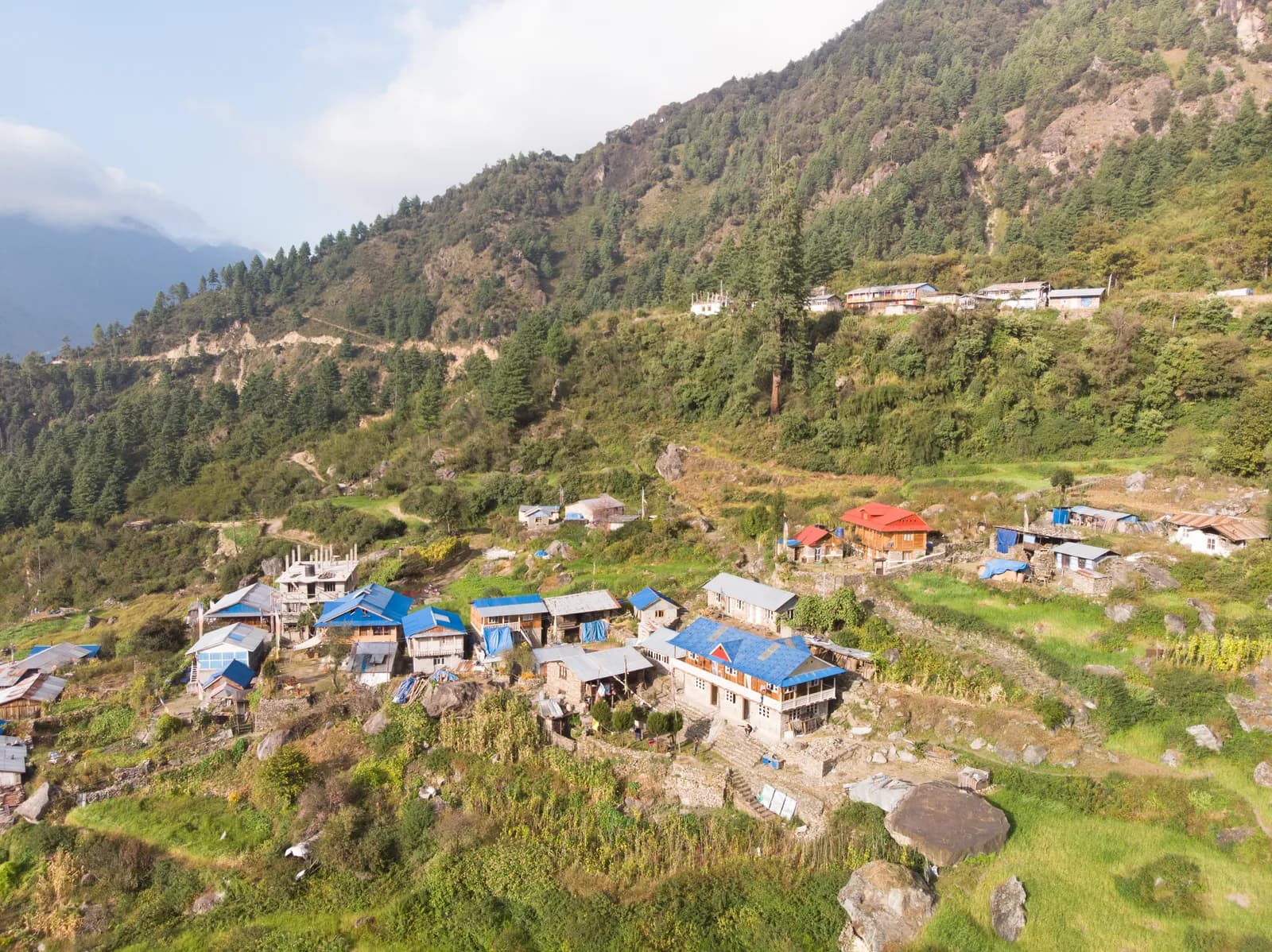
The Tamang Heritage Trail is a seven-day loop from Kathmandu through the Tamang villages of Rasuwa District, near the Tibetan border. You drive to Syabrubesi (1,460 m), climb to Gatlang (about 2,240 m), walk on to the hot springs at Tatopani (about 2,600 m), cross the Nagthali meadow viewpoint (about 3,200 m) to Thuman (about 2,340 m), continue to Briddim (about 2,240 m), return to Syabrubesi and drive back. It stays low, uses homestays and is built around culture rather than altitude.
One warning comes before the plan. The villages of this loop sit in the Trishuli and Bhote Koshi corridor that was hit by floods in August 2026, so read the conditions note before anything else. The route data is on the Tamang Heritage Trail page, and the region is explained in the Langtang region trekking guide.
Trip terbuka di Tamang Heritage Trail
Trip sebenar yang disiarkan oleh pendaki yang mencari rakan.
Check conditions first
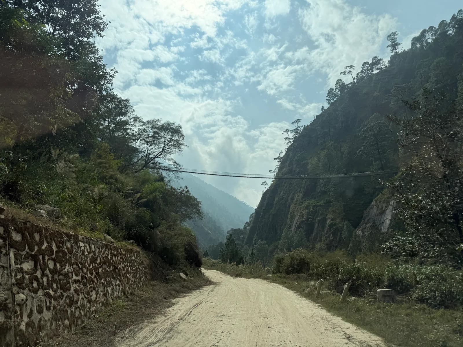
On 26 August 2026 a glacier collapse near Langtang Lirung triggered floods and debris flows along the Trishuli river, and the Wikipedia account says the Syabrubesi to Rasuwagadhi road was further damaged, floodwater entered Dhunche and Syabrubesi, and many bridges were destroyed or damaged. The plan below describes the trek as it was laid out before the floods. We have not been able to confirm which villages, trails, bridges, homestays and permit posts are usable now. Before you pay for anything, ask a registered agency or the Department of National Parks and Wildlife Conservation, and be ready to change dates or choose another trek. The Helambu loop, covered in the Helambu region guide, is a lower-risk alternative for the same kind of walk, though you should check that too.
The 7 days at a glance
| Day | From - to | Time | Sleep |
|---|---|---|---|
| 1 | Kathmandu - Syabrubesi | 7-8 h drive | 1,460 m |
| 2 | Syabrubesi - Gatlang | 5-6 h | 2,238 m |
| 3 | Gatlang - Tatopani | 5-6 h | 2,607 m |
| 4 | Tatopani - Thuman via Nagthali | 5-6 h | 2,338 m |
| 5 | Thuman - Briddim | 3-4 h | 2,239 m |
| 6 | Briddim - Syabrubesi | 3-4 h | 1,460 m |
| 7 | Syabrubesi - Kathmandu | 7-8 h drive | 1,400 m |
Day 1: Kathmandu to Syabrubesi (1,460 m)
The drive takes 7 to 8 hours through Trishuli and Dhunche. Syabrubesi sits at the junction of the Langtang Khola and the Bhote Koshi, with lodges and shops. Check your permits, repack and rest. Tomorrow is the first steep climb. See Kathmandu to Syabrubesi for Langtang for the road.
Day 2: Syabrubesi to Gatlang (about 2,240 m)
Cross the Bhote Koshi and climb steeply through forest and terraced fields, about 800 m in five to six hours, to Gatlang, a large Tamang village of stone houses and narrow lanes. There is a monastery, a mani wall and a lake, Parvati Kunda, a short walk from the village. Stay in a homestay and eat with a local family. Walk through the lanes at dusk, when the village is at its best.
Day 3: Gatlang to Tatopani (about 2,600 m)
The trail climbs out of Gatlang through forest to a pass, drops to the river and follows a shaded path through oak and rhododendron to Tatopani, a small settlement with a hot spring beside the river. The pools are simple stone basins, a welcome reward after five to six hours with some steep sections. This is the highest sleeping point of the loop, at about 2,600 m, and nights are cool.
Day 4: Tatopani to Thuman via Nagthali (about 2,340 m)
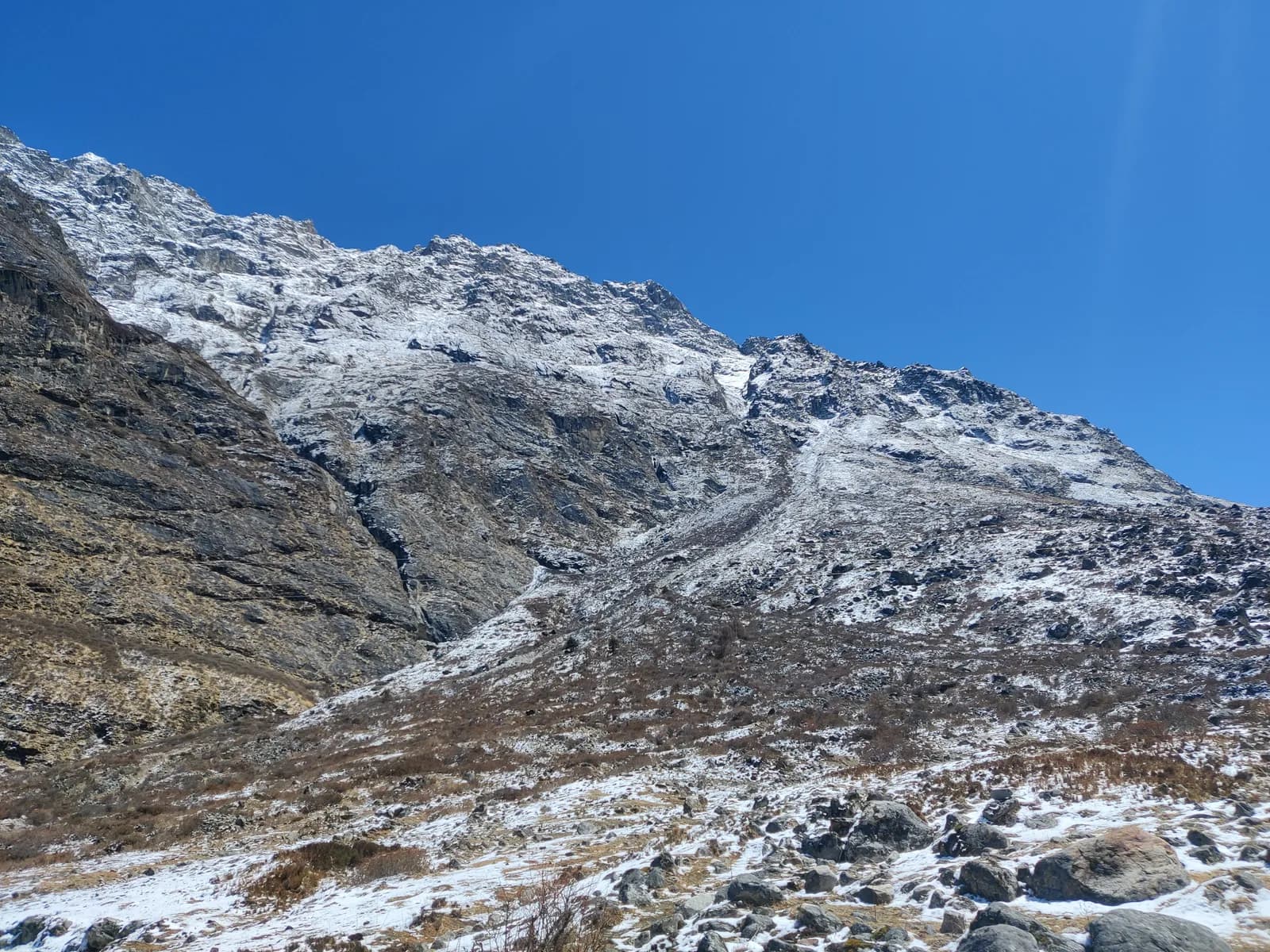
The big day. Climb steeply from Tatopani through forest to the Nagthali ridge, a high meadow at about 3,200 m with a wide view over the Langtang range and the Tibetan border. Local people regard the site as spiritual, with prayer flags and a meditation area. From the viewpoint, descend through forest to Thuman, a Tamang village known for its shamanic traditions and its stone houses. It is five to six hours with steep ascents and descents, so start early and carry water. Stay in a homestay.
Day 5: Thuman to Briddim (about 2,240 m)
A short day of three to four hours through terraces and forest to Briddim, a quiet Tamang village on a ridge above the Bhote Koshi. The path crosses side valleys and passes small hamlets. Briddim has a monastery and community-run homestays, and the view of the Langtang range from the village is fine. Spend the evening talking with your hosts.
Days 6 and 7: back to Syabrubesi and Kathmandu
Day 6 descends from Briddim through forest and fields, crosses the Bhote Koshi on a suspension bridge and reaches Syabrubesi in three to four hours. Day 7 is the drive back, 7 to 8 hours via Dhunche and Trishuli. Start early, and do not book an international flight for that evening.
What makes this trail different
Nothing on this loop is high. The highest sleeping point is Tatopani at about 2,600 m, and Nagthali at about 3,200 m is a day walk, not a sleep. That changes how you plan. Altitude sickness is rarely an issue, so there are no rest days built in, but the ascents and descents are steep and add up, with climbs of 800 m or more on several days. The effort is in the legs, not the lungs.
The other difference is the way you stay. This is a homestay trail. Families in Gatlang, Thuman and Briddim take turns hosting visitors under village committees, and meals are simple Tamang cooking: dal bhat, potatoes and local vegetables. You eat with your hosts, sleep in a basic shared room and carry a sleeping bag. It is a quieter and more social way to trek than the lodge-to-lodge routine in Langtang or Annapurna.
Homestay manners
Take your shoes off at the door, accept tea or food with your right hand, and ask before photographing people or ceremonies. Pay the agreed price and do not bargain. Small gifts for children are less useful than a donation to the school or the village committee, which your guide can arrange. Walk clockwise around mani walls and stupas, dress modestly and treat the monasteries as places of worship. Read Nepal trail etiquette and culture and monastery etiquette, prayer wheels and mani walls before you go.
Permits and the guide rule
You need a Langtang National Park entry permit, NPR 3,000 for foreigners per entry as of October 2026 (SAARC nationals NPR 1,500, children under 10 free), and a TIMS card where required. The Nepal Tourism Board lists the TIMS card at NPR 2,000 for foreigners (SAARC nationals NPR 1,000), and the agency that issues it may add a service charge. The villages are near the Tibetan border, so carry your passport and permits. See the Langtang National Park permit guide.
On guides, a licensed guide through a registered agency is required in restricted areas, and under the Nepal Tourism Board rule of April 2023 in national parks and conservation areas, where 2026 operator reports say checkpoints enforce it in Annapurna and Langtang, the strictest, but not in Khumbu (checked 19 October 2026). Our route data marks a guide as required here. See the guide rule by region.
Season, cost and packing
October to November and March to May are best, with rhododendron in spring and clear views in autumn. The monsoon is wet and slippery and the Trishuli road is prone to landslides. Winter is cold, but the low altitude keeps the trail feasible. As of October 2026 the Langtang cost data gives a local bus from Kathmandu at about NPR 800 to 1,500, a shared jeep at NPR 1,500 to 3,000 and a private jeep at NPR 15,000 to 29,500 per vehicle, plus a guide day of NPR 2,700 to 4,000 and a porter day of NPR 2,100 to 3,400 as operator market ranges, not official rates. Our route data uses seven guide days and five porter days. Carry rupees, because there are no machines on the trail.
Pack waterproof boots, warm layers, a rain jacket, hat and gloves, a sleeping bag, poles, a headlamp, a swimsuit for the hot springs, water purification and a first-aid kit. The Nepal trek packing list has the full set.
Combining and sharing
Many people extend the loop with the Langtang Valley, a combined trek of about 12 to 14 days. Check current access before you add anything near the border. The jeep and the guide are the main shared costs, so post your dates on the Tamang Heritage Trail partner page and read how to vet a trekking partner before you commit to a homestay trek together.
More itineraries
The route guides category and the day-by-day itineraries hub list the others.
The regional data is on the Langtang region page.