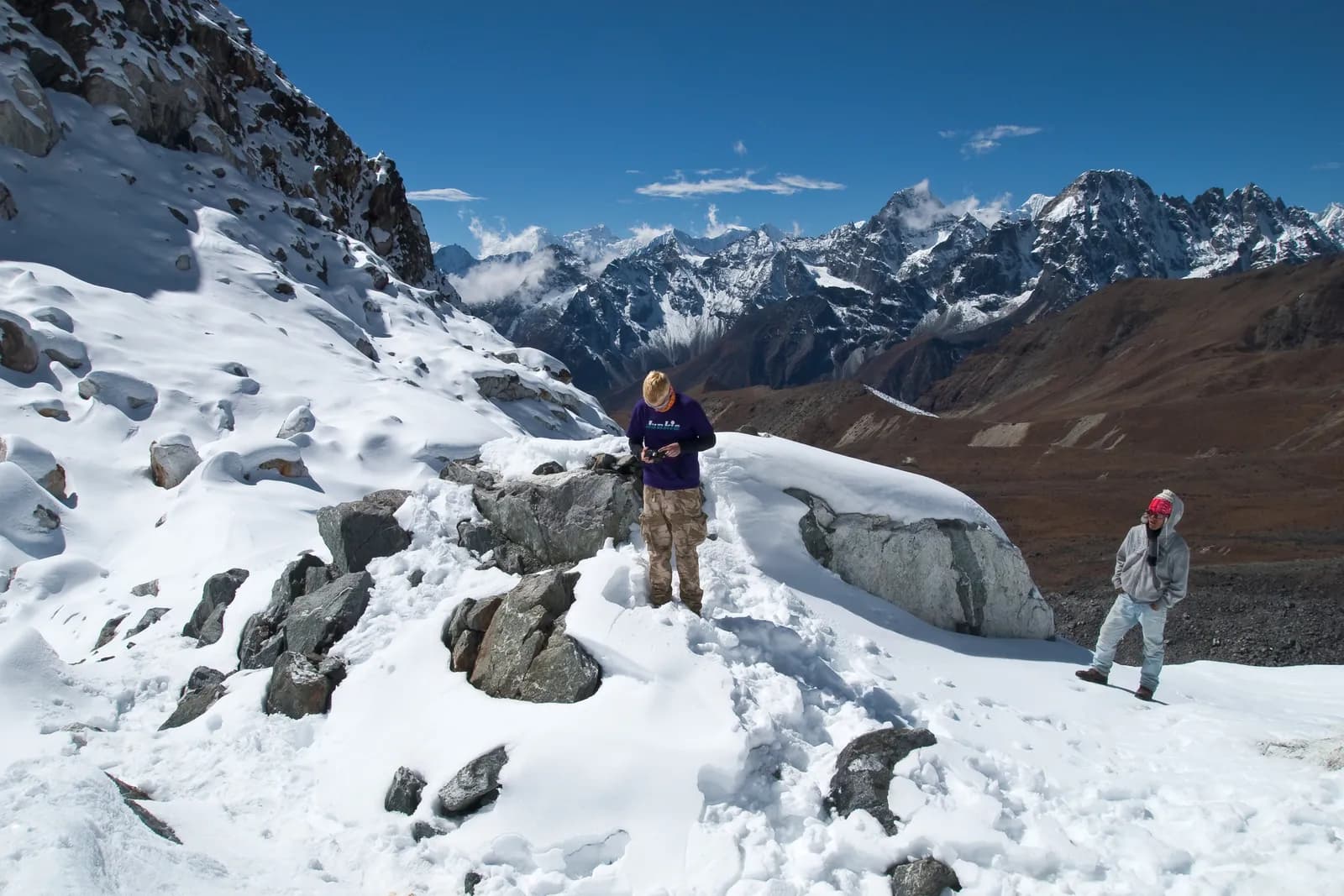
Snow and high-pass conditions on Thorong La and Cho La
How snow, wind and ice change Thorong La, Cho La, Kongma La and Renjo La through the year, how to judge conditions on the day and when guides turn back.

Snow decides whether a Himalayan pass is a long walk or a serious day out. Thorong La (5,416 m) and Cho La (about 5,420 m) are crossed by thousands of trekkers each year, mostly in October, November, April and May, and conditions on the day matter more than the calendar. This guide describes how snow, wind and ice change each pass through the year and how to judge whether to go.
It is general information and cannot replace your guide's local knowledge. The routes themselves are in the Annapurna Circuit and Everest Three Passes itineraries.
Trip terbuka di Annapurna Circuit Trek
Trip sebenar yang disiarkan oleh pendaki yang mencari rakan.
The four passes
| Pass | Altitude (approx.) | Route | Character |
|---|---|---|---|
| Thorong La | 5,416 m | Annapurna Circuit, Thorong Phedi to Muktinath | Long, non-technical, wind and cold; about 900 m up, 1,600 m down |
| Cho La | 5,420 m | Everest Three Passes, Dzongla to Thangnak | Rocky climb, boulders, short glacier crossing |
| Kongma La | 5,535 m | Everest Three Passes, Chhukhung to Lobuche | Highest of the three; steep, often snowy |
| Renjo La | 5,360 m | Everest Three Passes, Gokyo to Marlung | Steep stone staircase; good views |
Larkya La (about 5,106 m) on the Manaslu Circuit is similar in character; see the Manaslu timing guide.
How snow and conditions change through the year
| Period | Thorong La | Cho La and Kongma La |
|---|---|---|
| Late September | Variable, clearing; early snow possible | Clear to cloudy; dry trail |
| October | Best conditions; early storms possible | Best conditions; some ice |
| November | Good early, colder and snowier late | Good early; snow and ice increasing |
| December to February | Heavy snow, extreme cold, sometimes impassable | Deep snow and ice; often closed |
| March | Snow remains, improving late | Snow remains, icy on both sides |
| April | Usually good; old snow possible early | Good; ice on the glacier |
| May | Usually good; warming snow softens | Good; softer snow in afternoons |
| June to August | Cloudy approach, wet, risk of fresh snow | Cloud and rain; poor views |
Weather is not a calendar. A cold, snowy week in late October can close a pass that is normally clear.
What conditions do to each pass
Thorong La
The usual approach is from Thorong Phedi (about 4,540 m) or High Camp (a few hundred metres higher up the slope). The pass day begins in the dark and the route climbs a steady trail to the top, then descends over 1,600 m to Muktinath (about 3,800 m). The hazards are cold, wind and altitude, not technical ground. Fresh snow hides the trail, slows progress and increases exposure. In October 2014 a snowstorm on the Thorong La side killed dozens of trekkers and guides, and it is the reason local operators now treat storm warnings seriously. The best time for the Annapurna Circuit places the pass in the seasonal context.
Cho La
The Cho La crossing has more technical ground. From Dzongla (about 4,830 m) the path climbs steeply on rock, reaches the pass and descends across a boulder field and a short glacier before reaching Thangnak (Dragnag). In dry conditions the glacier is firm and microspikes help; after snow, crevasses can be hidden. The ground is rough underfoot, and the surfaces vary through the day.
Kongma La and Renjo La
Kongma La is the highest and longest of the Three Passes, and it is often the hardest because of the altitude and steep sections. Renjo La has a stone staircase on the Gokyo side and is generally the most straightforward. Both are affected by fresh snow and wind. The Everest Three Passes route page gives the schedule.
Judging conditions on the day
Ask these questions the evening before and at breakfast.
- Has anyone crossed in the last 24 hours? Lodge owners and guides know. Fresh footprints are the best indicator of a safe line.
- What is the forecast? Wind and visibility matter as much as snowfall. If a storm is forecast, wait.
- How do you feel? Altitude symptoms are a reason to descend, not to push on.
- What is the group like? The slowest member sets the pace and the turnaround.
- Is there a clear turnaround time? Agree it in advance, such as "if we are not at the top by 10:00, we go down."
If conditions are doubtful, spend a day waiting. Lodges at Thorong Phedi and Dzongla are used to it.
Starting time and pacing
Start in the dark. Wind builds as the sun heats the valleys, and a late start means walking the exposed top section at its worst. Typical start times are between 3:00 and 5:00. Walk slowly, drink and eat small amounts often, and keep your hands and face covered. Take a headlamp and spare batteries, and keep warm clothing at the top of your bag, since you will sweat on the climb and chill quickly at the pass. The packing list covers headlamps and night gear.
Gear for snow
- Microspikes for icy or hard-packed sections. See crampons and microspikes for high passes.
- Trekking poles for balance, especially on descent.
- Gaiters for snow and scree.
- Warm layers, windproof shell, hat, gloves and mittens, and a balaclava or buff.
- Sunglasses or goggles with good UV protection, since snow glare is intense at altitude.
- A spare pair of gloves. Losing a glove at the pass is a real problem.
When to turn back
Turn back or wait when:
- fresh snow has covered the trail and nobody has broken it;
- wind makes standing difficult or visibility drops to a few metres;
- someone has severe headache, confusion, loss of balance or breathlessness at rest;
- your guide advises against it.
Altitude illness is not the only danger; cold and exposure can kill quickly. Turning back is not failure. The altitude basics and the partners and safety hub explain the group rules.
Plan a spare day
Every high-pass itinerary should have at least one spare day, and two in the shoulder months. If you have a fixed flight home, choose a lower route rather than gamble on the weather.
Typical pass-day timings
Timings vary with fitness, snow and altitude, but the shape of a pass day is similar everywhere. These are rough figures for a fit group in good conditions.
| Pass | Start | Time to the top | Time down | Total |
|---|---|---|---|---|
| Thorong La from High Camp | 3:30 to 4:30 | 2 to 3 hours | 3 to 4 hours to Muktinath | 6 to 8 hours |
| Thorong La from Thorong Phedi | 3:00 to 4:00 | 4 to 5 hours | 3 to 4 hours | 8 to 10 hours |
| Cho La from Dzongla | 5:00 to 6:00 | 3 to 4 hours | 3 to 4 hours | 7 to 9 hours |
| Kongma La from Chhukhung | 5:00 to 6:00 | 4 to 5 hours | 3 to 4 hours | 8 to 10 hours |
| Renjo La from Gokyo | 6:00 to 7:00 | 3 to 4 hours | 3 hours | 6 to 8 hours |
If you are well behind these numbers at the halfway point, the turnaround time you agreed at breakfast applies.
Cold and wind
On pass day the air temperature at the top is typically far below the temperature where you slept, and wind makes it feel colder. Hands, feet and face are first to suffer. Practical rules:
- Eat and drink before you start, and keep a flask of warm drink in an inner pocket.
- Put on your warmest layers before you reach the top, not after you are cold.
- Keep moving gently, since long stops at the pass let you chill quickly.
- Check each other's faces for white patches of skin, and warm any numb areas.
For frostbite and hypothermia in more detail, see the altitude and health hub.
What local operators do
Experienced guides and lodge owners use a few habits that are worth copying. They talk to other guides by phone or at the lodge the night before, they set a turnaround time and stick to it, they keep an eye on the weather throughout the afternoon preceding the crossing, and they will often wait a day rather than risk a bad one. They also carry a first-aid kit and know the evacuation options. If your guide suggests waiting, take the advice, and if you are travelling without a guide, apply the same questions.
Choosing a route with passes
If you want high-pass scenery but are unsure about the conditions, consider a lower alternative. The Everest Base Camp trek stays on well-travelled ground with no pass crossing, and Gokyo Lakes gives high-lake views without Cho La or Renjo La. On the Annapurna side, the Circuit can be done as an out-and-back to Manang without crossing Thorong La. The route choice guide compares these options.