Manaslu restricted area permit guide
Which permits the Manaslu Circuit needs, why an agency and licensed guide are mandatory, the documents to prepare, where the checkposts are and what to ask before you pay.
The Manaslu Circuit is a restricted-area trek, which means you cannot walk it on a standard open-area permit. You need a Restricted Area Permit (RAP) from the Department of Immigration, a Manaslu Conservation Area permit and an Annapurna Conservation Area permit for the final stretch, and the RAP can only be obtained through a registered trekking agency that also provides a licensed guide. This guide explains how those pieces fit together and what to prepare before you pay anyone.
The fees below are as of October 2026 (checked on 18 October 2026) from the Nepal Tourism Board and the NTNC e-permit page, and they differ by season. The restricted-area permit is USD 100 per person for the first week plus USD 15 per extra day from September to November, or USD 75 plus USD 10 per extra day from December to August. For the 12 permit days our Manaslu Circuit plan assumes, that is USD 175 in the autumn season and USD 125 in the rest of the year. Add NPR 3,000 for the Manaslu Conservation Area permit and NPR 3,000 for the Annapurna Conservation Area permit (both tax included for foreigners; permits issued at check posts cost double). Rules for restricted areas have been revised more than once, so confirm every number with the Department of Immigration or your agency, get the answers in writing, and see our permits page for the current table.
Trip terbuka di Manaslu Circuit Trek
Trip sebenar yang disiarkan oleh pendaki yang mencari rakan.
Why Manaslu is restricted
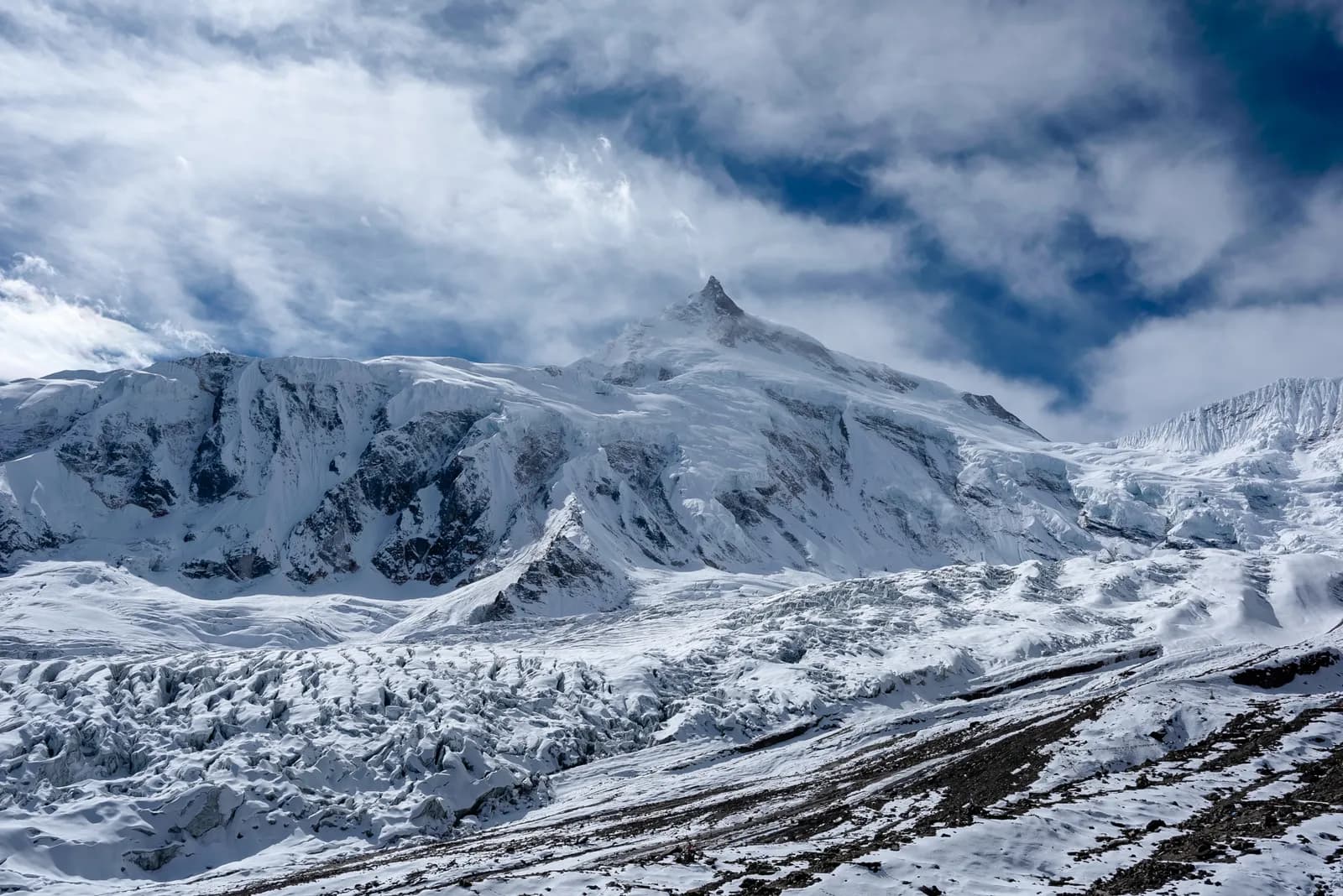
The route follows the Budhi Gandaki valley north towards the Tibetan border before crossing Larkya La (about 5,106 m) and descending to Bimthang and Dharapani. Land near the border is administered as a controlled area. The restriction lets the authorities regulate numbers, require a registered agency and spread income to villages along a route that has few alternative livelihoods.
The Manaslu Conservation Area was established in 1998 and covers roughly 1,600 km2 around the eighth-highest mountain in the world, Manaslu (8,163 m). Its permit funds local conservation work. See the Manaslu region page for how the area fits together.
The three permits
| Permit | Issued by | Role |
|---|---|---|
| Restricted Area Permit (RAP) | Department of Immigration, through a registered agency | Allows you into the controlled area for set dates and route |
| Manaslu Conservation Area Permit (MCAP) | National Trust for Nature Conservation | Entry to the conservation area |
| Annapurna Conservation Area Permit (ACAP) | National Trust for Nature Conservation | Covers the final section from Dharapani onwards |
If you plan to walk on to Besisahar and continue on the Annapurna Circuit, the ACAP permit also covers that. See the ACAP guide for details. Some agencies bundle all three into one package.
Why you need an agency and guide
The RAP is applied for by a registered trekking agency, in person, with your passport details and your itinerary. The agency must be registered with Nepal's tourism authorities and is accountable for you on the route. The permit rules have also required a licensed trekking guide to accompany you, and until 22 March 2026 a minimum of two trekkers per permit.
That has two practical consequences:
- You pay the agency fee and guide wages even if you are alone, or you find a partner to share the cost. Since 22 March 2026 one trekker can apply, but check the current rule with your agency.
- Your guide is not optional. Immigration and checkpoint staff compare your permit to who is actually on the trail.
For a plain-language account of why the guide rule exists and how it works across the country, read the guide rule explainer. If you want to share the costs, finding a trekking partner is the usual way.
In March 2026 the Department of Immigration reportedly ended the group-only rule for restricted areas: solo foreign trekkers can now apply, but only through a registered agency and with a licensed guide, and applicants can use a visa application number instead of a visa number. A May 2026 press report said the department also introduced a new permit system for foreigners in controlled areas across 13 districts, which lists the Manaslu area among others. Ask the agency how that affects your dates, and do not rely on older articles, including this one, for the final rule.
Documents to prepare
- Passport, valid for several months beyond your trip, with a clear photocopy of the photo page.
- Nepal visa (or a copy of the stamped one).
- Passport photos, usually several copies.
- Insurance details that cover trekking to 5,100 m or higher and helicopter evacuation.
- Itinerary, with the dates of each day. The permit lists your route and dates.
- Emergency contact details.
Agencies often ask for scans a few days ahead, so the application can be filed as soon as you arrive in Kathmandu.
Checkpoints on the route
The route passes checkposts where staff check permits and record you in a register. Typical stations include:
- Soti Khola, Machha Khola and Jagat on the lower Budhi Gandaki. Jagat (about 1,340 m) is where the restricted section is entered.
- Deng, Philim and Namrung, where checks can occur again.
- Samagaun (about 3,530 m), the main village at the foot of Manaslu, and Samdo (about 3,875 m) on the way to the pass.
- Dharapani (about 1,860 m) at the end of the route, where the ACAP checkpost takes over.
Carry copies of every permit and your passport. Guides normally handle the registers, but you are the one responsible for the documents.
Timing the paperwork
For a typical start from Kathmandu:
- Choose your dates and agency, and get the quote in writing, including all permits and the guide.
- Send passport scans, photos and your insurance a week or more before you arrive.
- Visit the agency on your first day in Kathmandu; the application is usually filed within a day or two.
- Collect copies of the permits before you leave town.
- Travel to Soti Khola, usually by an all-day jeep drive via Arughat. See the Soti Khola route notes in the Manaslu itinerary.
October and November are the busiest months for permits. Applications also stall on public holidays such as Dashain and Tihar, which usually fall in October and November; check the dates when you plan.
What to ask the agency
- Which permits are included and what is paid on the trail?
- Is a second trekker required for the permit, and what happens if my partner cancels?
- What is the cancellation policy if I miss my date because of flights or health?
- Will the permit list the exact route and dates I plan, including any side trip to Birendra Tal or Pungyen Gompa?
- Who pays for the guide's insurance and equipment?
Write the answers into your booking confirmation. If an agency is vague, treat that as a reason to look elsewhere.
Seasons and the pass
The permit does not guarantee you will cross. Larkya La can close in heavy snow, and agencies set turnaround times on pass day. The best time for the Manaslu Circuit sets out the months. The cost guide explains why splitting the agency and guide costs among partners matters more here than on open routes, and the permits hub shows how the Manaslu set compares with the others.
Permit dates against the real itinerary
The permit lists dates, so build the itinerary before the application, not after. A typical schedule that agencies use:
| Stage | Approximate sleeping altitude | Note for the permit |
|---|---|---|
| Machha Khola | about 870 m | Checkpost area |
| Jagat | about 1,340 m | Entry to the restricted section |
| Deng | about 1,860 m | Valley narrows |
| Namrung | about 2,630 m | Entry to Nubri culture and the high valley |
| Samagaun | about 3,530 m | Rest day in a standard plan |
| Samdo | about 3,875 m | Last village before the pass |
| Larkya Phedi (Dharamsala) | about 4,470 m | High night before the crossing |
| Bimthang | about 3,720 m | Beyond the pass; descent begins |
| Dharapani | about 1,860 m | End; ACAP checkpoint |
If bad weather on Larkya La costs you a day, the permit may need adjusting, so ask the agency what happens in that case before you leave Kathmandu. Most agencies add a spare day in the quote.
What happens if something goes wrong
- Lost permit. Tell your guide immediately. The checkposts keep registers, and the agency can help, but expect delay.
- Illness. If you have to descend, your guide handles the evacuation and tells the next checkpost. Keep your insurance number and agency phone number in your day pack.
- Partner drops out. If your partner drops out, one trekker can still hold the permit, but ask the agency before you leave Kathmandu what the plan is. An agency that has not thought about this is a risk.
- Late arrival. If your flight to Nepal is delayed, tell the agency early, because permit dates can sometimes be shifted before they are issued but not afterwards.
Cost structure, without the numbers
The restricted-area route costs more than an open-area trek of the same length, because several items that you could skip elsewhere are mandatory: the permit set, the agency and the guide. For most travellers these are the large fixed lines in the budget; accommodation and food in the lodges are small by comparison. Splitting the fixed lines among two to four people is the biggest saving available. The Nepal trekking cost guide shows how the pieces add up and the Manaslu itinerary guide explains how many days the route normally takes.
Route pages: Manaslu Circuit and the Manaslu region.
Rancang trek ini
Foto
Soalan lazim
Sumber
- Nepal Tourism Board: Trekking Permit (restricted areas)
- NTNC e-permit (ACAP and MCAP)
- Department of Immigration, Nepal
- Manaslu Conservation Area (Wikipedia)
- Nepal Tourism Board
- National Trust for Nature Conservation
- Solo trekkers allowed in restricted areas (The Himalayan Times, 23 March 2026)
- Trekking restrictions in controlled areas of 13 districts (Ekantipur, 6 May 2026)