Everest Base Camp itinerary, day by day
A 12-day Everest Base Camp itinerary with sleeping altitudes, walking hours, what each day feels like and where to add a buffer day, plus a safer 14-day variation.

The standard Everest Base Camp (EBC) itinerary takes 12 days: fly to Lukla, walk up the Dudh Koshi and Khumbu valleys to Gorak Shep, visit Base Camp and Kala Patthar, then walk back and fly out. You sleep at Phakding, Namche Bazaar (two nights), Tengboche, Dingboche (two nights), Lobuche and Gorak Shep, with the highest bed at 5,164 m. Most days are five to seven hours of walking, and the two rest days at Namche and Dingboche are what make the schedule safe.
This page walks through each day with the sleeping altitude, the hours, what the day feels like and what to watch for. It follows the data on our Everest Base Camp route page; for the region as a whole see the Everest region guide.
Everest Base Camp Trek의 모집 중인 여행
파트너를 찾는 트레커들이 올린 실제 여행입니다.
The 12 days at a glance
| Day | From - to | Walking | Sleep | What happens |
|---|---|---|---|---|
| 1 | Kathmandu - Phakding | 3-4 h | 2,610 m | Fly to Lukla, easy descent beside the river |
| 2 | Phakding - Namche Bazaar | 6 h | 3,440 m | Park gate at Monjo, Hillary Bridge, steep climb |
| 3 | Namche (rest) | 3 h | 3,440 m | Hike to the Everest View Hotel, Khumjung |
| 4 | Namche - Tengboche | 5 h | 3,860 m | Monastery, Ama Dablam views |
| 5 | Tengboche - Dingboche | 5 h | 4,410 m | Pangboche, valley opens out |
| 6 | Dingboche (rest) | 3 h | 4,410 m | Nangkartshang ridge, about 5,000 m |
| 7 | Dingboche - Lobuche | 5 h | 4,940 m | Dughla memorials, moraine walk |
| 8 | Lobuche - Gorak Shep - Base Camp | 7-8 h | 5,164 m | Base Camp at about 5,364 m, return to Gorak Shep |
| 9 | Gorak Shep - Pheriche | 7 h | 4,371 m | Kala Patthar at dawn, then a long descent |
| 10 | Pheriche - Namche | 7 h | 3,440 m | Three days of ground in one |
| 11 | Namche - Lukla | 7 h | 2,860 m | Hillary Bridge, porters and yaks |
| 12 | Lukla - Kathmandu | flight | 1,400 m | Morning flight |
Day 1: Kathmandu to Phakding (2,610 m)
The flight to Lukla (2,846 m) takes 35 to 40 minutes and lands on a sloping runway cut into the hillside. In busy months many flights leave from Ramechhap (Manthali), a four to five hour drive from Kathmandu, which means a pre-dawn start. From Lukla the path drops through Cheplung and Ghat beside the Dudh Koshi, past mani walls and prayer wheels. It is mostly downhill, a gentle start. Eat well and sleep early.
Day 2: Phakding to Namche Bazaar (3,440 m)
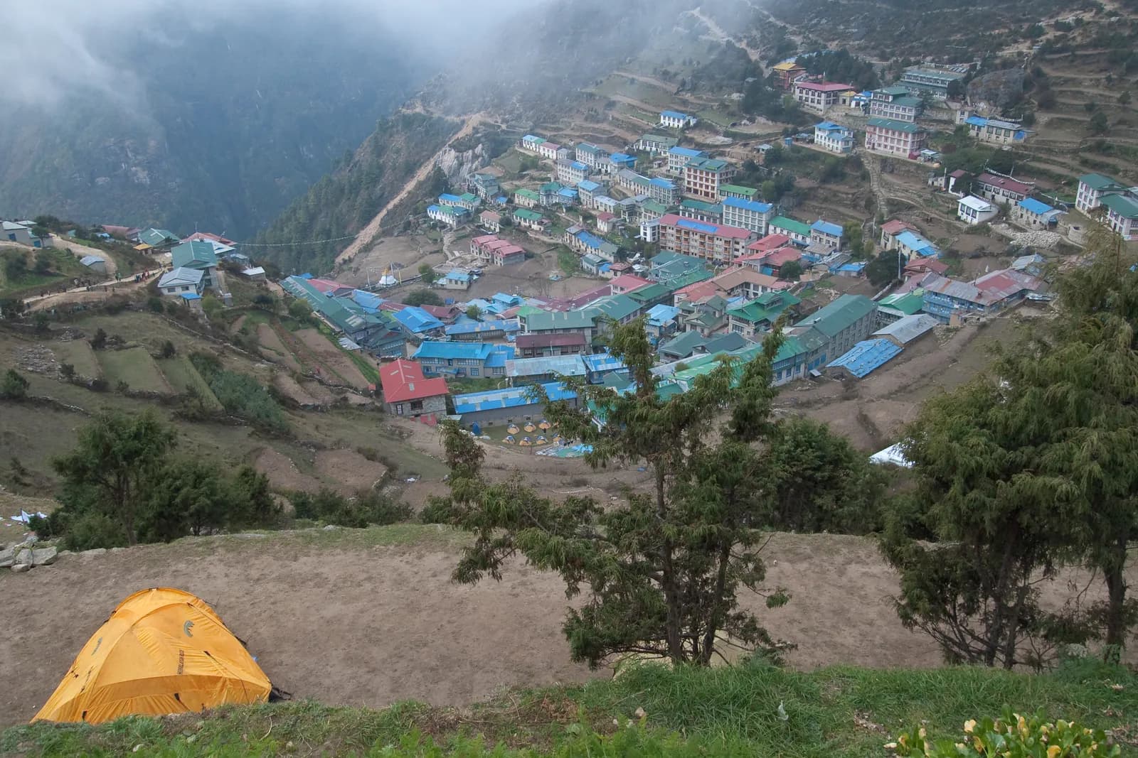
Several suspension bridges lead to the Sagarmatha National Park gate at Monjo, where permits are checked. After Jorsale you descend to the river for the final crossing at the Hillary Bridge and then climb for about two hours through pine forest to Namche. On a clear day you may glimpse Everest and Lhotse between the trees. Namche is the Sherpa trading hub, with bakeries, a cash machine and a Saturday market. This is the day many people feel altitude for the first time, so go slowly.
Day 3: acclimatisation at Namche
Do not skip this. The classic hike climbs to the Everest View Hotel at about 3,880 m and continues to Khumjung and Khunde, where there is a monastery and the school that Edmund Hillary helped build. You gain about 440 m by day, then come back to sleep at 3,440 m. This is the "climb high, sleep low" principle in action, explained in our altitude sickness guide.
Day 4: Namche to Tengboche (3,860 m)
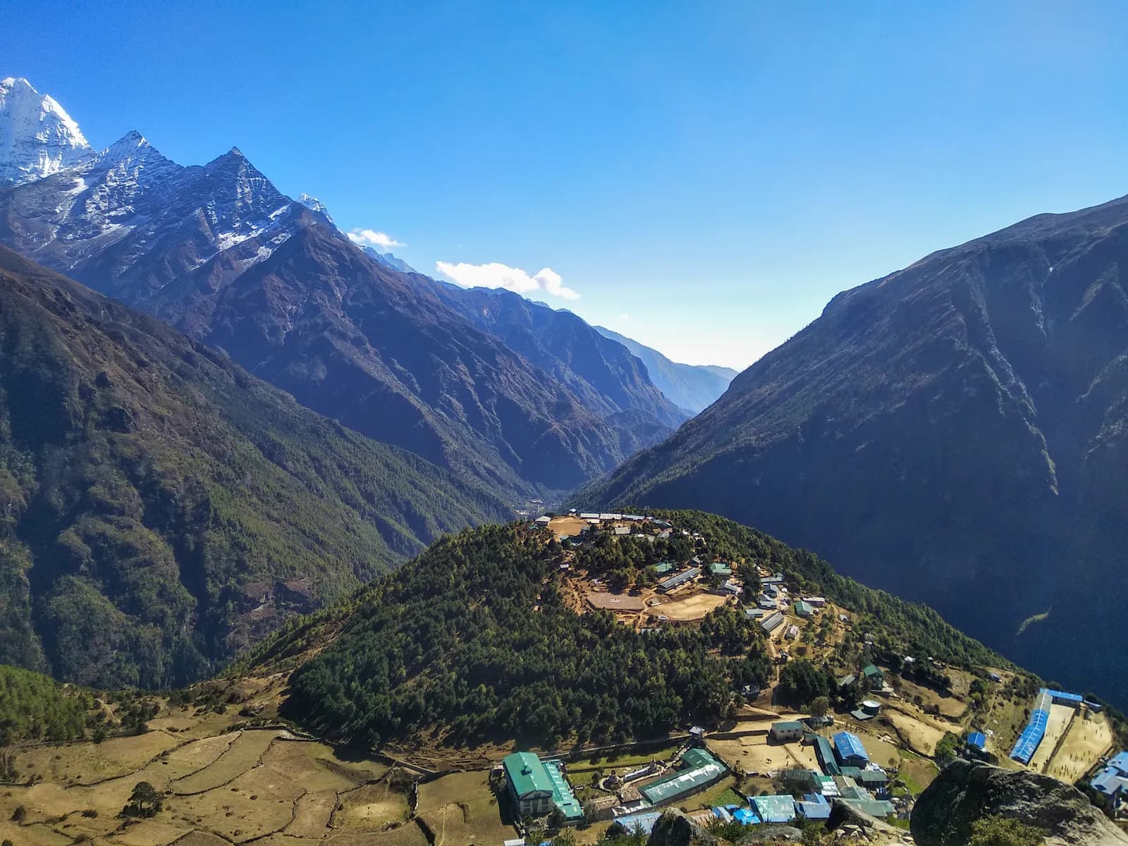
A high, easy trail above the river gives views of Ama Dablam, Thamserku and Kangtega. After tea at Sanasa you descend through forest to Phunki Tenga, then climb steeply for about 600 m to Tengboche. The monastery, founded in 1916 and rebuilt after a fire in 1989, is the spiritual centre of the Khumbu. Visitors may watch afternoon prayers quietly. Himalayan monal pheasants are often seen in the forest.
Day 5: Tengboche to Dingboche (4,410 m)
Descend through rhododendron forest to Deboche, cross the Imja Khola and climb through Pangboche, the oldest village in the valley, with a small famous gompa. The trees thin into juniper and dwarf rhododendron as you gain height. Dingboche sits among stone-walled barley and potato fields with Ama Dablam and Lhotse above, and it gets cold as soon as the sun drops behind the ridge. The sleeping altitude rises about 550 m, slightly above the 500 m guideline the CDC cites for sleeping altitude above 3,000 m, which is why the next day is a rest day.
Day 6: acclimatisation at Dingboche
The usual walk climbs the ridge toward Nangkartshang to about 5,000 m, with views of Makalu, Lhotse and the Chhukung valley. Return to sleep at 4,410 m. If you feel unwell, take a short valley stroll instead. Talk to your guide about how everyone feels before going higher.
Day 7: Dingboche to Lobuche (4,940 m)
The trail climbs gently to Dughla at 4,620 m, beside the Khumbu Glacier's terminal moraine, then pulls up to the Dughla pass, where stone memorials commemorate climbers who died on Everest. Pumori leads the way up the valley before you drop to Lobuche. Nights are very cold and headaches common, so drink regularly and go to bed early.
Day 8: Lobuche to Gorak Shep and Everest Base Camp
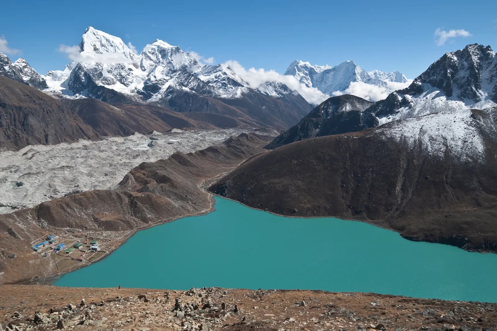
Follow the moraine crest to Gorak Shep (5,164 m), a cluster of lodges on a sandy lake bed. After an early lunch and rest, walk about three hours along the glacier edge to Base Camp at about 5,364 m, marked by prayer flags and, in spring, a tent city of expedition teams. The Khumbu Icefall is visible, but Everest itself is hidden behind Nuptse. Return to Gorak Shep to sleep. It is a long day at this altitude, so keep layers handy and turn back if the weather closes in.
Day 9: Kala Patthar and down to Pheriche (4,371 m)
Start in the dark and climb Kala Patthar (about 5,545 m) in roughly two hours to watch the sun rise behind Everest, Nuptse and Pumori. It is cold and often windy. After breakfast, descend past Lobuche and Dughla to Pheriche, losing almost 800 m of sleeping altitude in a day, and most people feel better at once. The Himalayan Rescue Association aid post here offers talks in the main seasons.
Days 10 to 12: the walk out
Day 10 is a long seven-hour day back to Namche, covering what took three days on the way up, and your knees will thank you for poles. Day 11 crosses the Hillary Bridge and follows the Dudh Koshi down to Lukla (2,860 m); stand on the uphill side to let porters and yaks pass. Day 12 is the flight back to Kathmandu.
Making it safer: the 14-day variation
Add a spare day at Lukla or Kathmandu for the flight, and a second spare day anywhere above Namche. The best place for a buffer is at Dingboche or Lobuche, because you can use it as a third rest day if anyone is struggling and recover it for the flight home if nobody is. Treat the 12-day plan as the minimum, not the target.
Sharing the trek
The route is walkable independently by many people but a guide and a porter are cheaper per person when shared (permits, flights, food and rooms stay individual). See how to find a trekking partner safely, then compare this with the other Everest treks before you book.