

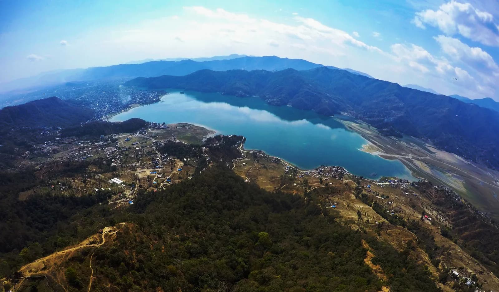
Pokhara
Pokhara, on Phewa Lake, is the base for short foothill treks: the four-day Panchase ridge trek and the three-day Australian Camp and Dhampus trek, with views of Machhapuchhre and the Annapurna range, no flight and no restricted-area permit.
- 最高標高Panchase summit (about 2,500 m)
- 日数3–4
- 難易度easy-moderate
- ベストシーズンOct–Nov, Mar–Apr
- 許可証2件の許可証
写真:Anuppanthi · CC BY-SA 4.0
Check that your policy covers helicopter evacuation and trekking at this region's altitude. We don't sell insurance.
What to look forWritten by FindTrekkingPartner team確認者: FindTrekkingPartner team確認方法についてFindTrekkingPartner
Pokharaはネパールのトレッキング地域で、3–4日間のルートが標高2,500 mまで登ります。外国人トレッカーは、FindTrekkingPartnerに日程、予算、ペースを添えてトリップを投稿すれば、ここでのトレッキングのパートナーを探せます。マッチングは両者が同意するまで非公開で、サービスは無料です。 中級クラスの料金では、ライセンスを持つガイドの費用は、トレッカー4人でシェアすると4日間で1人あたり約USD 37、1人だけの場合はUSD 149です。ベストシーズンはOct–Nov, Mar–Aprです。 このような一般ルートでは、ライセンスガイドの同行は義務付けられていません(2026年10月19日確認)。クンブ自治体はネパール観光局の2023年4月の規則から外れる決定をしており、日帰りハイキングにはガイドは不要ですが、それでもガイドの同行を強くおすすめします。旅行会社に確認してください。 このルートの募集中のトリップを以下に表示します。出発月、グループ人数、残り枠を確認できます。 最終確認日: 2026年10月19日。出典: ネパール観光局、DNPWC、入国管理局。
出典:Department of Immigration, NepalNepal Tourism BoardDepartment of National Parks and Wildlife Conservation
- Sarangkot Sunrise Hikeのパートナーを探す募集中のトリップはまだありません
- World Peace Pagoda and Raniban Hikeのパートナーを探す募集中のトリップはまだありません
- Australian Camp and Dhampus Trekのパートナーを探す募集中のトリップはまだありません
- Panchase Trekのパートナーを探す募集中のトリップはまだありません
- Ghandruk Village 2-Day Trekのパートナーを探す募集中のトリップ 1 件
概要
- 公認ガイド
- 現地の最新ルールを確認してください
- 最少人数
- トレッカー1人
No restricted area and no guide requirement. Kaski lies inside the Annapurna Conservation Area (NPR 3,000 for foreigners), and sources disagree on whether the foothill walks need the permit, so confirm with your agency.
人気のトレッキング
出発地点
Pokhara, Phedi, Kande, Bhadaure
アクセス
Pokhara is about 7 hours by road from Kathmandu, with short flights also available. Phedi (for Dhampus) and Kande (for Australian Camp) are about an hour by road, and the Panchase ridge starts with a boat across Phewa Lake or a road to Bhadaure in about an hour and a half.
Pokhara is Nepal's second city and the base for short Himalayan walks that start within an hour of the lake: the four-day Panchase ridge trek, which gives a long view of Machhapuchhre and the Annapurna range, and the three-day Australian Camp and Dhampus trek, an easy walk through villages to a meadow viewpoint at about 2,050 m. Neither needs a restricted-area permit or a flight. The city sits at about 822 m on the shore of Phewa Lake, 200 km west of Kathmandu, and the foothill walks climb to 2,000 to 2,500 m through forest and terraces, which makes them good first treks and good warm-ups for the Annapurna Circuit or the Sanctuary. The best months are October to November and March to April, and rain and leeches make the monsoon a poor time for ridge walking.
Pokhara and its hills
Pokhara is the capital of Gandaki Province and had 600,051 residents at the 2021 census, which makes it the second largest city in the country. Wikipedia places it at an average elevation of about 822 m on the shore of Phewa Lake, about 200 km west of Kathmandu, and notes that the Annapurna range, with Dhaulagiri, Annapurna I and Manaslu among the ten highest peaks in the world, lies within 24 to 56 km. In 2024 the city was declared the tourism capital of Nepal. It is the starting point for treks into the Annapurna Conservation Area, which Wikipedia describes as the largest protected area in the country at 7,629 square kilometres, running from 790 m to the summit of Annapurna I at 8,091 m, and including parts of Kaski, Manang, Mustang, Myagdi and Lamjung districts. It was begun in 1985.
The ridges that wall in the Pokhara valley from the north and west are the country of the short walks. Sarangkot, Kaskikot, Dhampus, Pothana, Australian Camp, Panchase and the Naudanda ridge all rise from the valley floor in a few hours. The ridges are covered by terraced hillsides and oak and rhododendron forest, and they are home to Gurung, Magar, Brahmin and Chhetri villages.
Phewa Lake and the view
Phewa Lake is the third largest lake in Nepal, at 742 m, with an area of about 5.7 square kilometres, an average depth of 8.6 m and a maximum depth of 24 m. The Tal Barahi temple stands on an island in it, and the lake is famous for the reflection of Machhapuchhre. Lakeside, on the north shore, is the tourist district with hotels, restaurants and boat hire, and boats cross the lake to the south shore where the paths up to the World Peace Pagoda and the Panchase ridge begin.
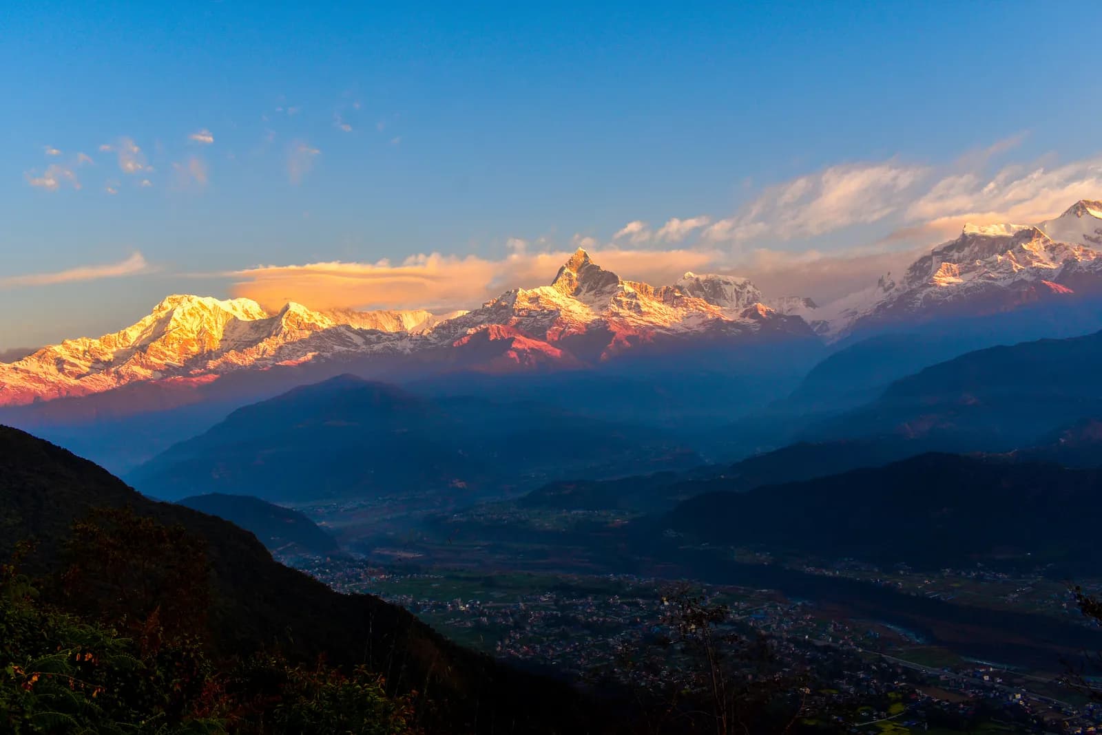
Machhapuchhre, the Fishtail, is 6,993 m high and is not climbed because it is regarded as sacred. It looks much taller than it is when seen from the lake, because the valley is so low. The Annapurna range stretches along the horizon beside it. This view is why people get up early on the Sarangkot and Australian Camp walks.
People and culture
The hill villages above Pokhara are mainly Gurung and Magar, with Brahmin and Chhetri families, and the area is known for Gurkha recruitment; Wikipedia notes that the city is home to many families of Gurkha soldiers who serve in several armies. Gurung villages such as Dhampus keep houses with slate roofs and verandas, terraced rice and millet, and their own festivals and dances. In the villages along the trails you will find homestays run by local families, many organised as community homestay groups, such as the community homestay at Sidhane.
Tibetan refugee settlements around Pokhara and its monasteries give the city a second cultural layer, and one of the walks begins at the Hyanjha Tibetan camp on the way to Phedi, which an operator names on its route. The Peace Pagoda above the lake is a modern Buddhist stupa built on a hilltop and is reached by a steep forest path.
Getting there
Pokhara is about seven hours by road from Kathmandu, and short flights also connect the two cities. The tourist bus is the usual road option, and private cars are faster. From Pokhara the trailheads are close: Phedi, below Dhampus, is about an hour's drive, Kande, the start of the Australian Camp walk and the Mardi Himal trail, is about an hour, and the Panchase ridge can be reached by boat across Phewa Lake or by road to Bhadaure in about an hour and a half.
When to go
October and November are the clearest months, and March and April bring flowers on the ridge. Operators advise that late October to April is best for Panchase, with the clearest views in October and November, while the monsoon from May to September brings leeches and overgrown trails. Winter mornings are very clear but cold above 2,000 m. If you must walk in the monsoon, choose the lower Dhampus route and expect cloud.
Routes in the region
Panchase trek. A four-day ridge walk from Pokhara by boat across Phewa Lake, past the Peace Pagoda to Bumdi, then up to Panchase Bhanjyang, over the Panchase summit and down to Bhadaure, finishing at Naudanda for the drive back to Pokhara. It covers about 36 km, and the Panchase high point is about 2,500 m by the operators' figure.
Australian Camp and Dhampus trek. A three-day walk that drives to Phedi, climbs the stone steps to Dhampus, continues through Pothana to Australian Camp, and descends to Kande for the drive back. It is easy and short, which is why families and first-time trekkers choose it. Together the three days cover about 11 km on our map.
Panchase in detail
The Panchase ridge is the long, forested crest west of Phewa Lake. On the usual four-day plan you start by boat across the lake, climb the forest steps to the Peace Pagoda, and follow forest paths and a jeep track through Lukum Swara to Bumdi, where the elevation model gives about 1,530 m and operators give 1,520 m. The next day climbs about 800 m in 10.8 km to Panchase Bhanjyang at about 2,065 m. The third day climbs stone steps to the Panchase summit, which operators give as about 2,500 m, and passes a small temple beside a pond, before descending to Bhadaure. The last morning walks down a jeep track to Naudanda on the highway.
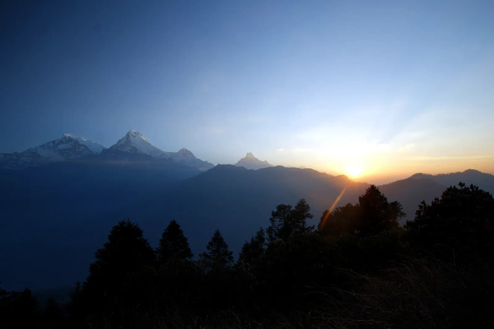
One guide warns that there are no shops or villages between Bhadaure and Panchase Bhanjyang, so carry food and water for that stage. The reward is a long horizon: on a clear dawn the sunrise strikes Machhapuchhre and the peaks beside it from the Panchase viewpoint, and the Pokhara valley is laid out below.
Dhampus and Australian Camp in detail
The Australian Camp walk is the gentlest of the foothill treks. From the road end at Phedi, about 1,160 m on the elevation model and about an hour by road from Pokhara, a stone staircase climbs through terraced fields to Dhampus, a Gurung village at about 1,690 m, in two to three hours. A path continues through forest to Pothana, at about 1,890 m, and then to Australian Camp, a grassy ridge meadow at about 2,050 m, with the Annapurna range, Machhapuchhre and Hiunchuli in front. The descent to Kande drops about 350 m in 2.5 km and meets the road, where a vehicle takes you back to Pokhara.
Operators give the camp's height as 2,045 to 2,232 m, and the elevation model gives about 2,060 m, so we use 2,050 m, where two sources agree. Dhampus and Pothana heights vary by more than 100 m between operators, so we leave them out of the day plan and give the map figures in the text.
Linking with bigger treks
The foothill walks fit into the larger routes of the Annapurna region. The Mardi Himal trek starts at Kande and passes Australian Camp and Pothana on its first day, so the Australian Camp walk is also the first stage of that trek. The Poon Hill and Annapurna Sanctuary routes start from other trailheads near Pokhara. If you have a free day before or after a long trek, the Panchase ridge or the Dhampus steps are a good way to stretch your legs and enjoy the views.
Around the lake
Pokhara itself has more than the walking trails. Phewa Lake can be crossed by boat, and the World Peace Pagoda, on the hill on the south shore, is the destination of an easy walk that starts at the lake. The Sarangkot ridge, north of the lake, is the best known place to see sunrise on the Annapurna range, and both a road and walking paths lead up to it. These short outings fit into a rest day between treks.
Permits and rules
Pokhara and its hills are not a restricted area. The Annapurna Conservation Area covers parts of Kaski District, and its entry permit costs NPR 3,000 for foreigners on the Nepal Tourism Board's list and on the NTNC e-permit page. Operators differ on the foothill walks: one source says no permit is needed for Panchase, and another says an Annapurna Conservation Area permit and a TIMS card are needed. Because the rule depends on the exact route, ask your agency to confirm. We show the Annapurna permit in the cost estimate for the Australian Camp walk and leave it out of the Panchase estimate, with a note.
Lodging, food and costs
Lodging on these walks is teahouses and homestays. Operators name overnight stays in tea houses at Bumdi and Panchase Bhanjyang, a campsite just above Bhadaure on one itinerary, and lodges at Dhampus and Australian Camp. Dal bhat and noodles are standard. Our cost estimates use Nepal-wide price ranges for low-altitude lodging and meals, and add a guide, a porter and transport lines that we show as items to check, since no source we found lists fixed boat or taxi fares.
Altitude and safety
All of these walks stay below about 2,500 m, so altitude is not a concern. The risks are heat and humidity on the lower stone steps, slippery steps and leeches in the rain, and the lack of villages on the ridge between Panchase Bhanjyang and Bhadaure, where one guide warns that there are no stops, so carry snacks and water. Mist can make the open ridge confusing. Start early to be off the ridge in the afternoon, when clouds gather.
Practical tips
- Carry salt or a leech repellent between May and September.
- Take small notes for lodges, since machines are only in Pokhara and a few larger villages.
- Cross the lake early, before the day's boat traffic and the afternoon cloud.
- For sunrise at Australian Camp, sleep there rather than starting from Dhampus.
- Take a light rain jacket year-round, because afternoons cloud over.
Sources and how we checked them
The Panchase plan comes from four operator itineraries that agree on the Bumdi, Panchase Bhanjyang, Bhadaure and Naudanda sequence, and the Australian Camp plan from three that agree on Phedi, Dhampus, Pothana and the camp. City, lake and conservation-area facts come from Wikipedia, the permit fee from the Nepal Tourism Board, and distances and hours from our own map. Where operator hours were shorter than the map allows, we give our estimate and mark it.
この地域のすべてのルート
この地域で扱っている標準ルートをすべて表示しています。ルートをタップすると、日ごとの行程が開きます。
ルートを比較
長さ、標高、難易度、想定費用でルートを並べ替えて、自分に合うものを見つけましょう。
日数 ↑順
Sarangkot Sunrise Hike 下書き
11,592 m7.5 km
普通日ごとの行程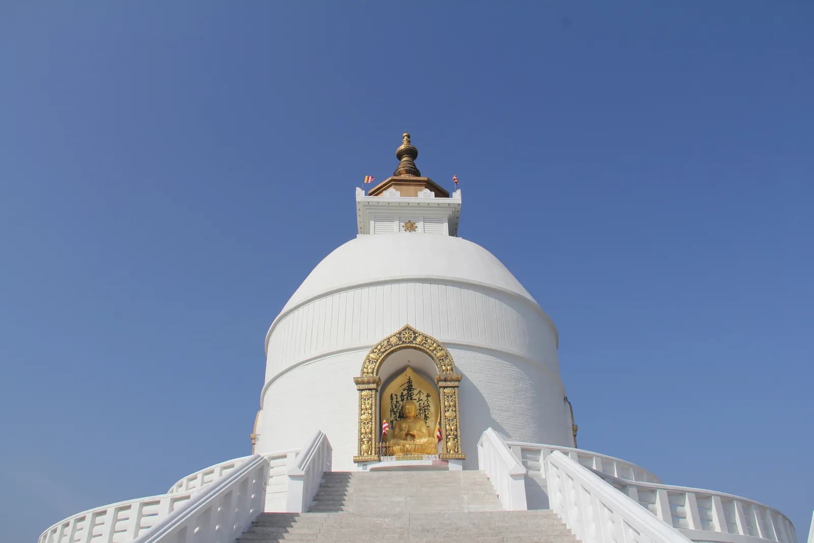
World Peace Pagoda and Raniban Hike 下書き
11,110 m6.1 km
易しい日ごとの行程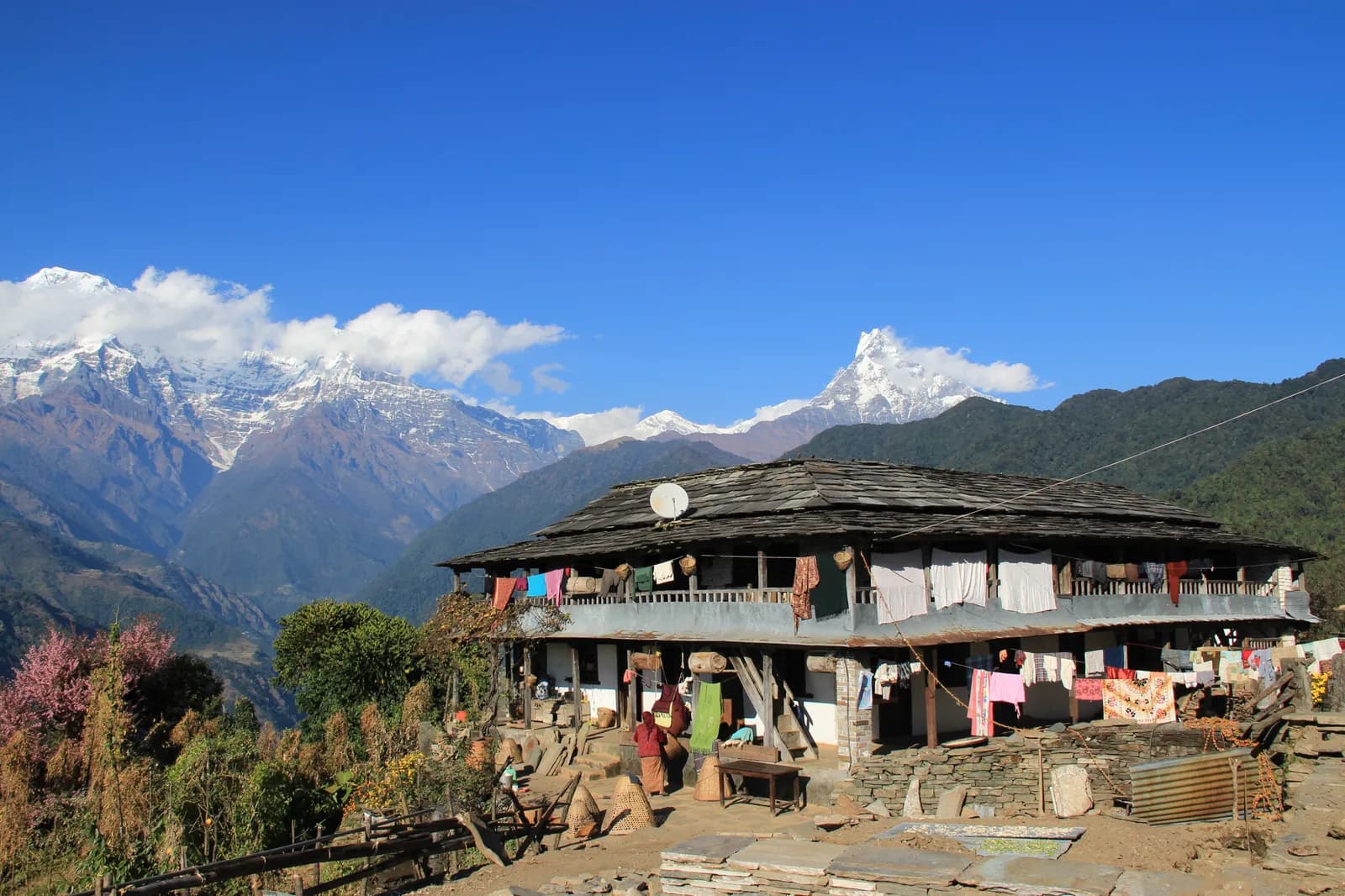
Ghandruk Village 2-Day Trek 下書き
22,050 m16.5 km
普通日ごとの行程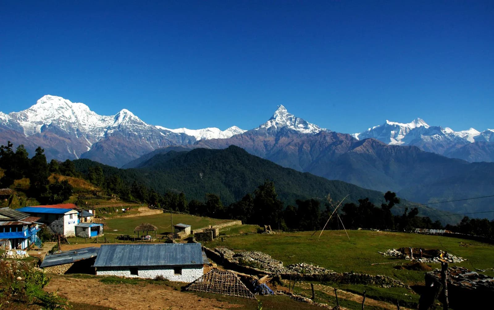
Australian Camp and Dhampus Trek 下書き
32,050 m10.8 km
易しい日ごとの行程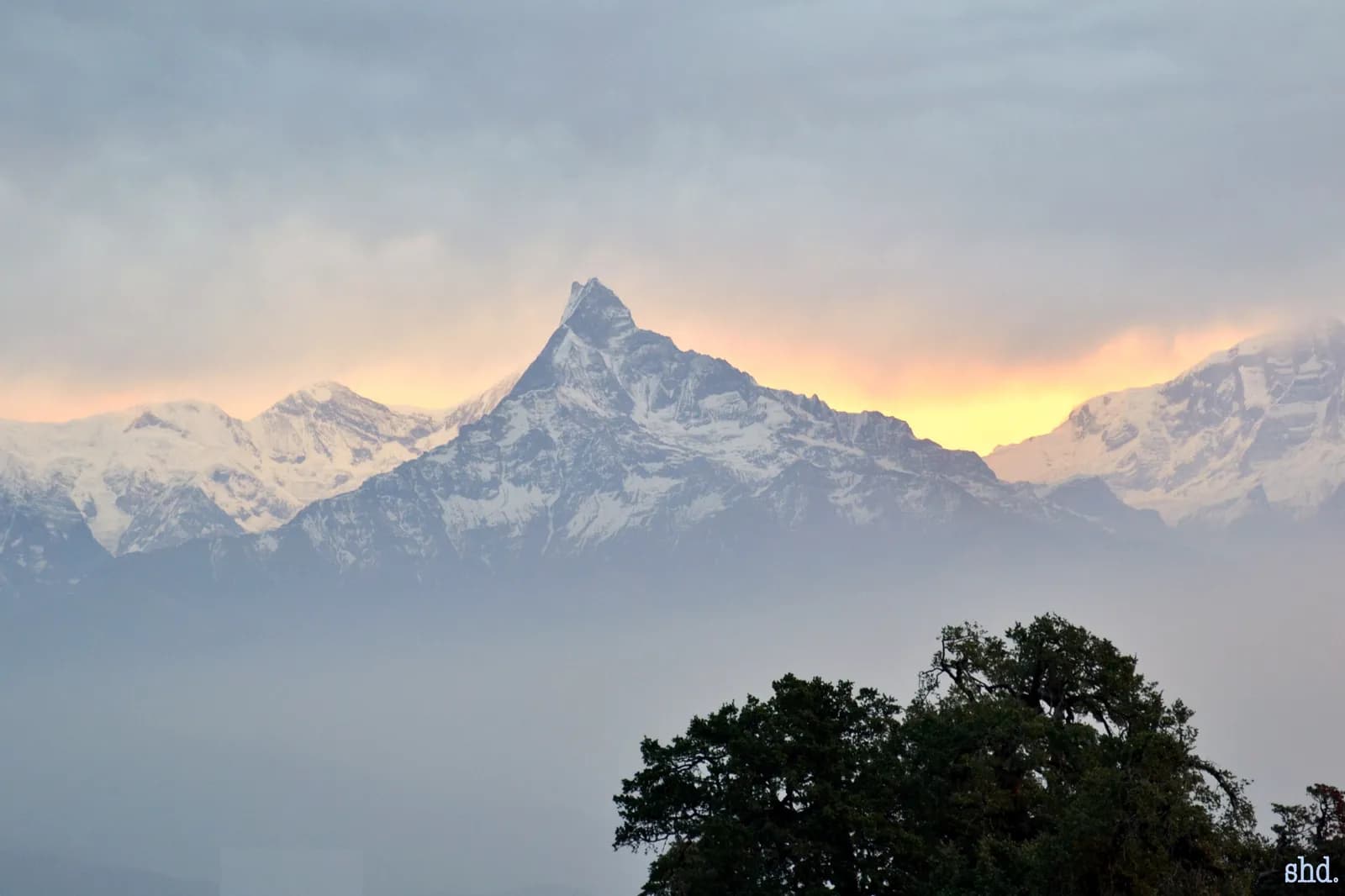
Panchase Trek 下書き
42,500 m35.9 km
普通日ごとの行程
| ルート | |||||
|---|---|---|---|---|---|
| Sarangkot Sunrise Hike | 1 | 1,592 m | 普通 | 7.5 km | NPR 4,000から |
| World Peace Pagoda and Raniban Hike | 1 | 1,110 m | 易しい | 6.1 km | NPR 4,000から |
| Ghandruk Village 2-Day Trek | 2 | 2,050 m | 普通 | 16.5 km | NPR 8,000から |
| Australian Camp and Dhampus Trek | 3 | 2,050 m | 易しい | 10.8 km | NPR 12,000から |
| Panchase Trek | 4 | 2,500 m | 普通 | 35.9 km | NPR 16,000から |
費用は目安です。この地域の予算重視スタイルの1日あたりの料金に日数を掛けたもので、フライトと許可証は含まれません。
トレッキングのベストシーズン
ハイライトされた月が、おすすめのトレッキングシーズンです。 Oct–Nov · Mar–Apr
ベストシーズンその他の月
Live conditions
Notes entered by our team from the sources linked on each item. Conditions change quickly, so confirm with your guide or lodge before you set off.
Best seasons: Oct–Nov · Mar–Apr
Nothing recent on file. Check with your guide or lodge before you go.
許可証と料金
料金は1人あたりで、国籍グループによって異なります。
| 許可証 | 外国人 | SAARC | ネパール人 |
|---|---|---|---|
Annapurna Conservation Area entry permit (ACAP) | NPR 3,000 | NPR 1,000 | NPR 100 |
TIMS card (trekking agency issued) | NPR 2,000 | NPR 1,000 | — |
- 購入場所
National Trust for Nature Conservation (NTNC)
Trekking agency / Nepal Tourism Board
1日の費用
ティーハウス泊のトレッキングでの1人1日あたりの費用です。ガイドとポーターはグループ/ポーター1人の1日あたりの料金です。 2026年10月時点
| スタイル | 1日あたり | ガイド/日 | ポーター/日 | 合計の例 |
|---|---|---|---|---|
| 節約 | NPR 2,900–4,800 | NPR 5,000 | NPR 2,750 | NPR 6,300–10,200 |
| 標準 | NPR 4,100–6,500 | NPR 5,000 | NPR 2,750 | NPR 8,700–14,100 |
| 快適 | NPR 5,500–8,400 | NPR 5,000 | NPR 2,750 | NPR 12,000–18,600 |
節約: Pokhara is about 7 hours by road from Kathmandu; Phedi and Kande are about an hour from the city. No fares for taxis or the Phewa Lake boat are published in our sources, so transfers are shown as lines to check.
標準: Pokhara is about 7 hours by road from Kathmandu; Phedi and Kande are about an hour from the city. No fares for taxis or the Phewa Lake boat are published in our sources, so transfers are shown as lines to check.
快適: Pokhara is about 7 hours by road from Kathmandu; Phedi and Kande are about an hour from the city. No fares for taxis or the Phewa Lake boat are published in our sources, so transfers are shown as lines to check.
ルールとマナー
ガイド
- すべての地域
Foreign trekkers must trek with a licensed guide in national parks and conservation areas (in force since April 2023). Enforcement varies by region, so verify the current rule before you go.
許可証
- すべての地域
Carry your permits at all times; they are checked at several checkpoints along every route.
安全と高度
- すべての地域
Buy travel insurance that covers helicopter rescue to at least 6,000 m.
- すべての地域
Climb high, sleep low: above 3,000 m, avoid raising your sleeping altitude by more than about 500 m per day, and add rest days.
自然保護
- すべての地域
Carry out all non-burnable waste (batteries, plastic, wrappers) and use a refillable water bottle.
文化
- すべての地域
Respect monasteries: walk clockwise around stupas and mani walls, and remove shoes where asked.
- すべての地域
Ask before photographing people, especially at religious sites and ceremonies.
ドローン
- すべての地域
No drones without prior permission from the relevant authority.
写真
よくある質問
The four-day Panchase ridge trek and the three-day Australian Camp and Dhampus trek. Both start within an hour or two of the city and stay below about 2,500 m.
Pokhara's hills are not a restricted area. The Annapurna Conservation Area covers parts of Kaski, and its permit is NPR 3,000 for foreigners. Operators differ on whether the foothill walks need it, so confirm with your agency.
Australian Camp is about 2,050 m and Panchase about 2,500 m, so altitude is not a concern. Pokhara itself is at about 822 m.
October to November for the clearest views and March to April for flowers. The monsoon brings leeches and overgrown trails, and operators advise against Panchase in that season.
About 7 hours by road from Kathmandu, 200 km west, or by a short flight. Tourist buses and private cars run daily.
Yes. The Mardi Himal trek passes Pothana and Australian Camp on its first day, and the foothill walks make a good warm-up before the Annapurna Circuit or Sanctuary.
Yes: teahouses at Bumdi and Panchase Bhanjyang, a campsite near Bhadaure on one itinerary, and lodges at Dhampus and Australian Camp. There is no food between Bhadaure and Panchase Bhanjyang.
募集中のトリップ
Pokharaに関するガイド
 カバー写真: Gerd Eichmann, CC BY-SA 4.0
 カバー写真: Gerd Eichmann, CC BY-SA 4.0
 カバー写真: Kondephy, CC BY-SA 4.0
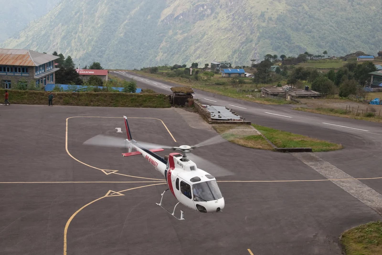 カバー写真: Vyacheslav Argenberg, CC BY 4.0
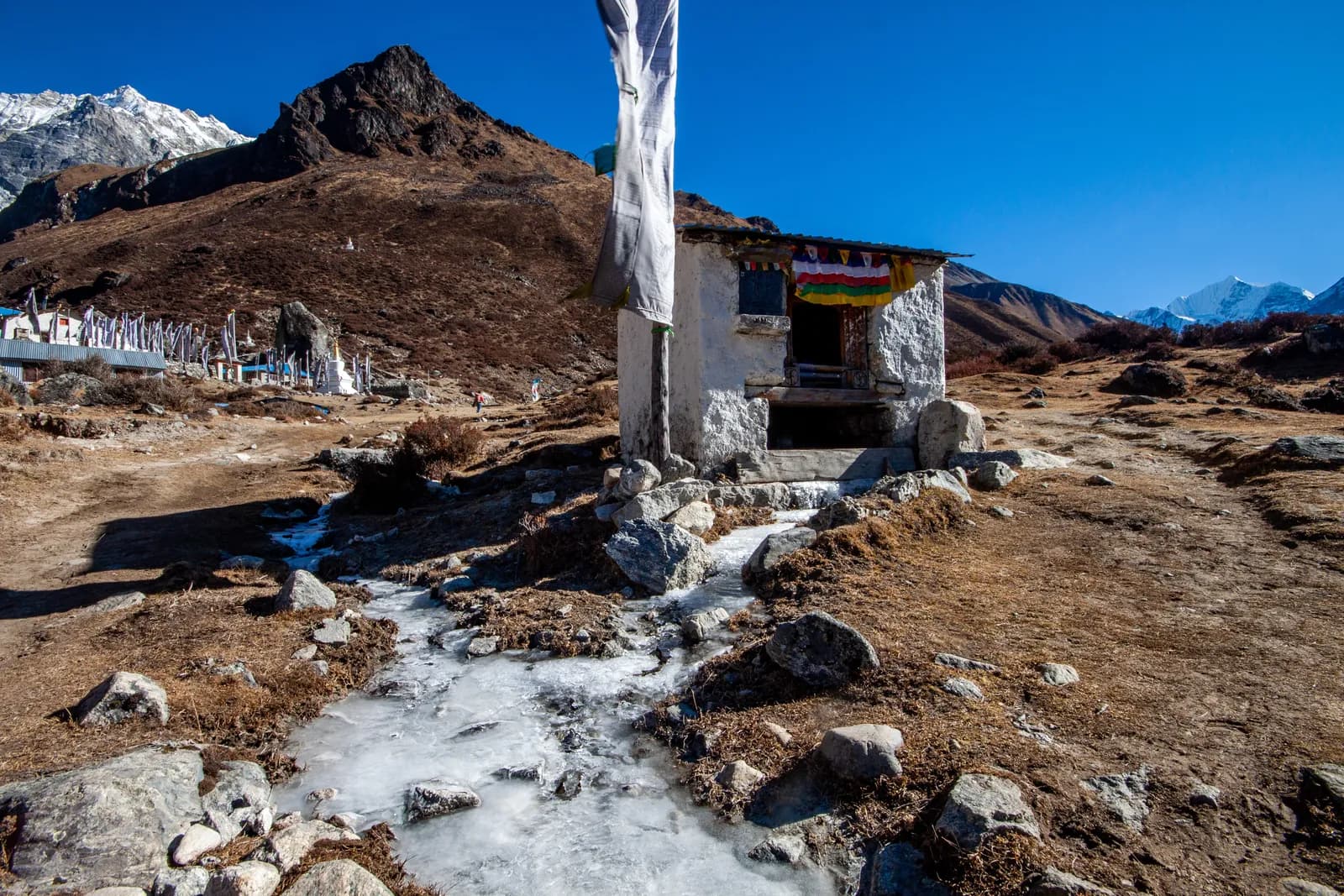 カバー写真: Kunja Shrestha, CC BY-SA 4.0
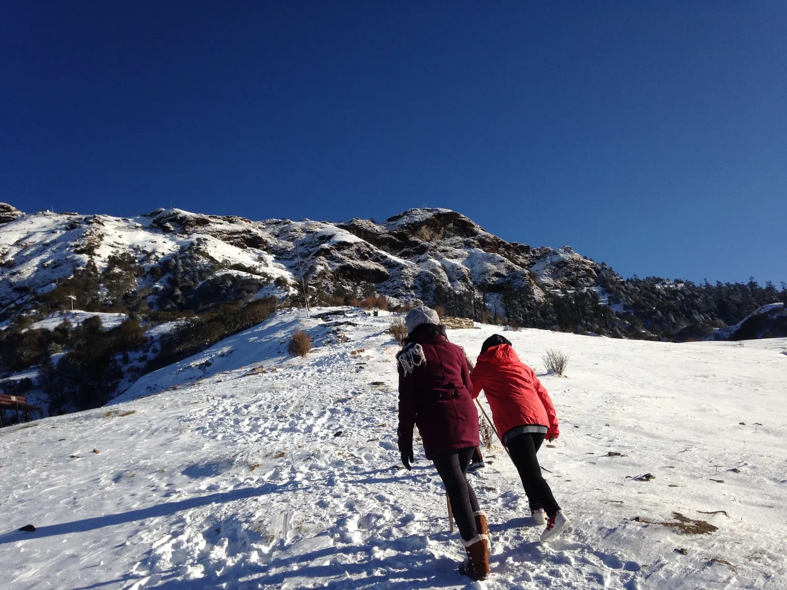 カバー写真: NimishaWagle, CC BY-SA 4.0
情報源
Pokharaを歩く準備はできましたか?
この日程のトレッキング仲間を探すか、自分のルートの計画を始めましょう。