Rolwaling trek itinerary day by day
An 11-day Rolwaling itinerary from Chetchet to Tsho Rolpa via Simigaon, Dongang, Beding and Na, with distances, climbs, sleeping altitudes and the long descent back to the road.
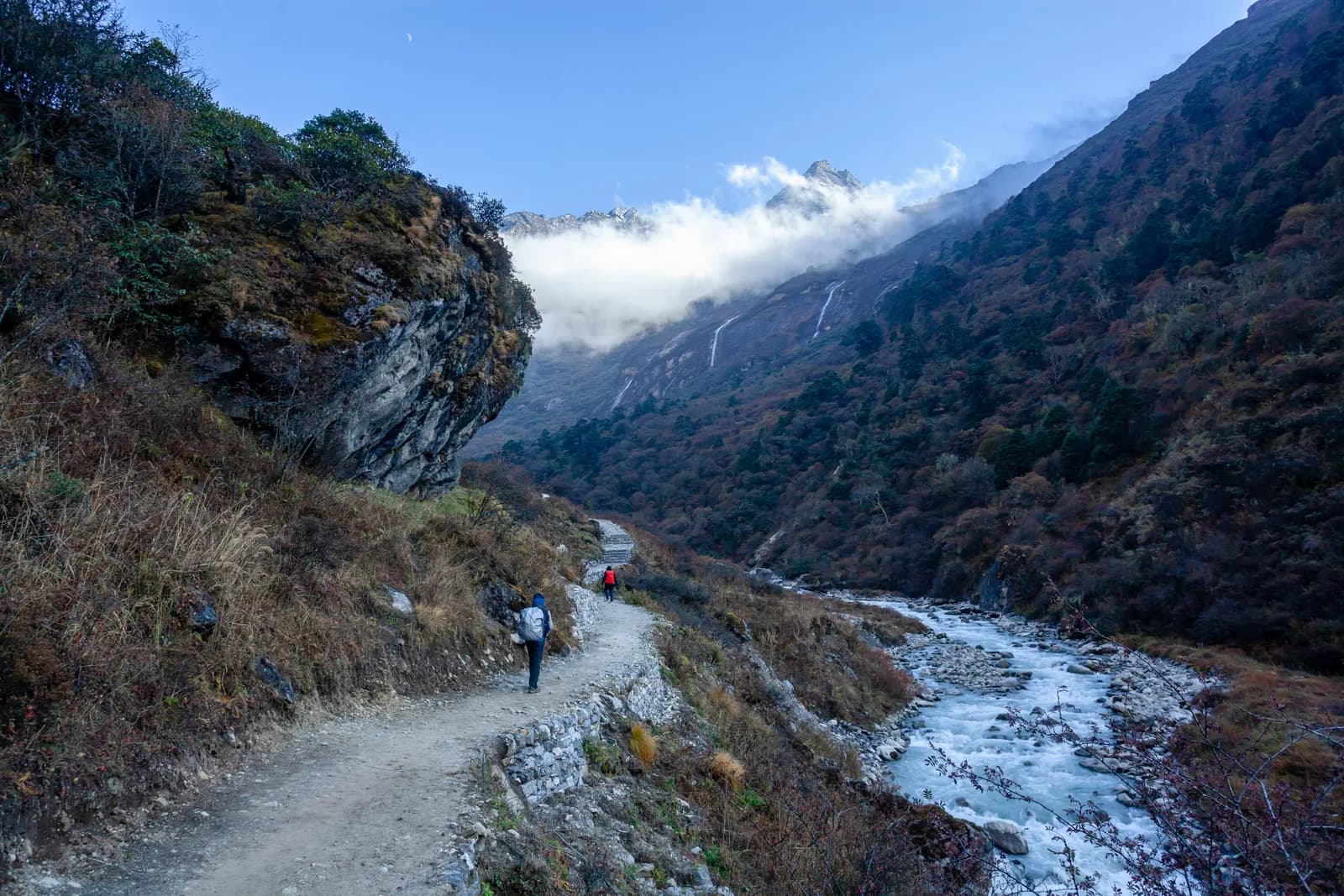
The Rolwaling itinerary here is 11 days from Kathmandu: an 8 to 9 hour drive to Chetchet (about 1,410 m), six days of walking up the Rolwaling Khola through Simigaon, Dongang and Beding to Na (about 4,190 m), a day trip to Tsho Rolpa (about 4,580 m), and a descent that covers the same ground in fewer days before the drive back. There is a rest day at Beding on day 5. It is a hard trek despite its length, because the climbs are steep, and it sits inside the Gaurishankar Conservation Area, so the entry permit and a guide are part of the plan. Route data is on the Rolwaling and Tsho Rolpa page, the Rolwaling region page holds the wider data, and the Rolwaling region guide gives the background.
Times are estimates from distance and climb, checked against operator itineraries.
Rolwaling and Tsho Rolpa Trekの募集中トリップ
仲間を探しているトレッカーが投稿した実際のトリップです。
The 11 days at a glance
| Day | From - to | Time | Sleep |
|---|---|---|---|
| 1 | Kathmandu - Chetchet (drive) | 8-9 h | about 1,410 m |
| 2 | Chetchet - Simigaon | 2-3 h | about 1,970 m |
| 3 | Simigaon - Dongang | 4.5-6 h | about 2,790 m |
| 4 | Dongang - Beding | 5-6 h | about 3,710 m |
| 5 | Beding (rest) | 3-4 h walk | about 3,710 m |
| 6 | Beding - Na | 2.5-4 h | about 4,190 m |
| 7 | Na - Tsho Rolpa - Na | 6-8 h | about 4,190 m |
| 8 | Na - Beding | 1.5-2.5 h | about 3,710 m |
| 9 | Beding - Simigaon | 5.5-8 h | about 1,970 m |
| 10 | Simigaon - Chetchet | 1-1.5 h | about 1,410 m |
| 11 | Chetchet - Kathmandu (drive) | 8-9 h | about 1,400 m |
Day 1: the road to Chetchet
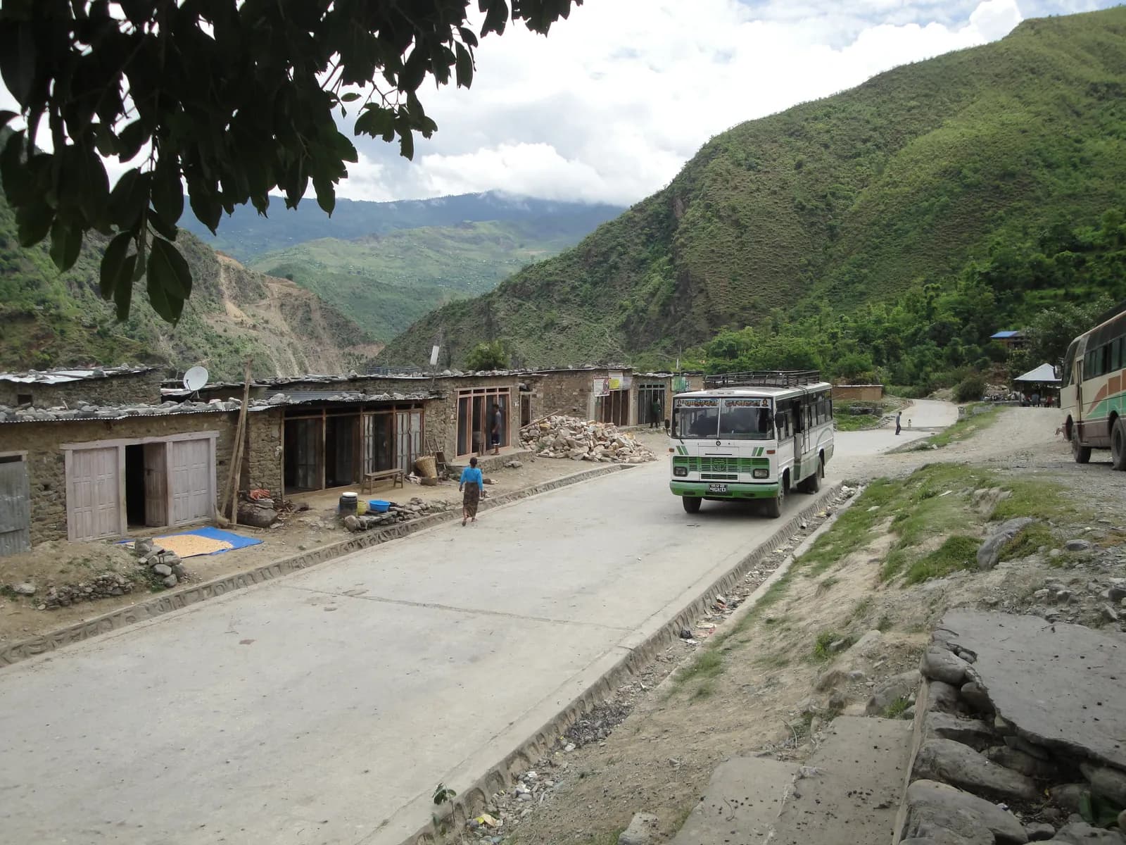
The jeep runs east from Kathmandu to Charikot and Singati, then north along the Tamakoshi and Rolwaling rivers to the roadhead at about 1,410 m. The last stretch is rough and muddy, with terraced hills, small bazaars and, on a clear day, views of the Gaurishankar range. Landslides can block the road in the monsoon, and in some years it ends at Singati. Pack the night before, because the drive starts early.
Day 2: Chetchet to Simigaon (about 1,970 m)
Only about 2 km, but a steep climb of nearly 600 m in 2 to 3 hours through terraces, forest and stone steps to the first Sherpa village of the valley, with a gompa, mani walls and potato fields. Simigaon has simple lodges. It is a short day by design, because you start at low altitude after a long drive.
Day 3: Simigaon to Dongang (about 2,790 m)
About 9 km with a climb of 1,010 m in 4.5 to 6 hours. The trail follows the Rolwaling Khola through rhododendron, oak and fir, crossing the river on bridges and passing small waterfalls. Dongang is a forest clearing with a few lodges.
Day 4: Dongang to Beding (about 3,710 m)
About 10 km with a climb of 1,050 m in 5 to 6 hours. The valley opens as you leave the forest and enter meadows and moraine, with Gaurishankar and the Rolwaling Himal ahead. Beding is the main Sherpa village of the upper valley. Put on warm layers, because nights are cold.
Day 5: rest day at Beding
Visit the gompa, walk around the village and take an easy hike up the meadows above the houses for views of Gaurishankar and the valley, returning by the afternoon. The aim is to sleep at the same height as the night before and let your body adapt. Drink water and watch for headache and poor sleep.
Day 6: Beding to Na (about 4,190 m)
About 6 km with a climb of 490 m in 2.5 to 4 hours (the table field says 3 to 4, the description 2.5 to 3.5). The trail follows the valley through meadows and moraine with views of Gaurishankar and the glacier basin. Na is a seasonal settlement of a few lodges and yak huts used by herders in summer, so facilities are basic, and in peak weeks some groups camp.
Day 7: Tsho Rolpa and back
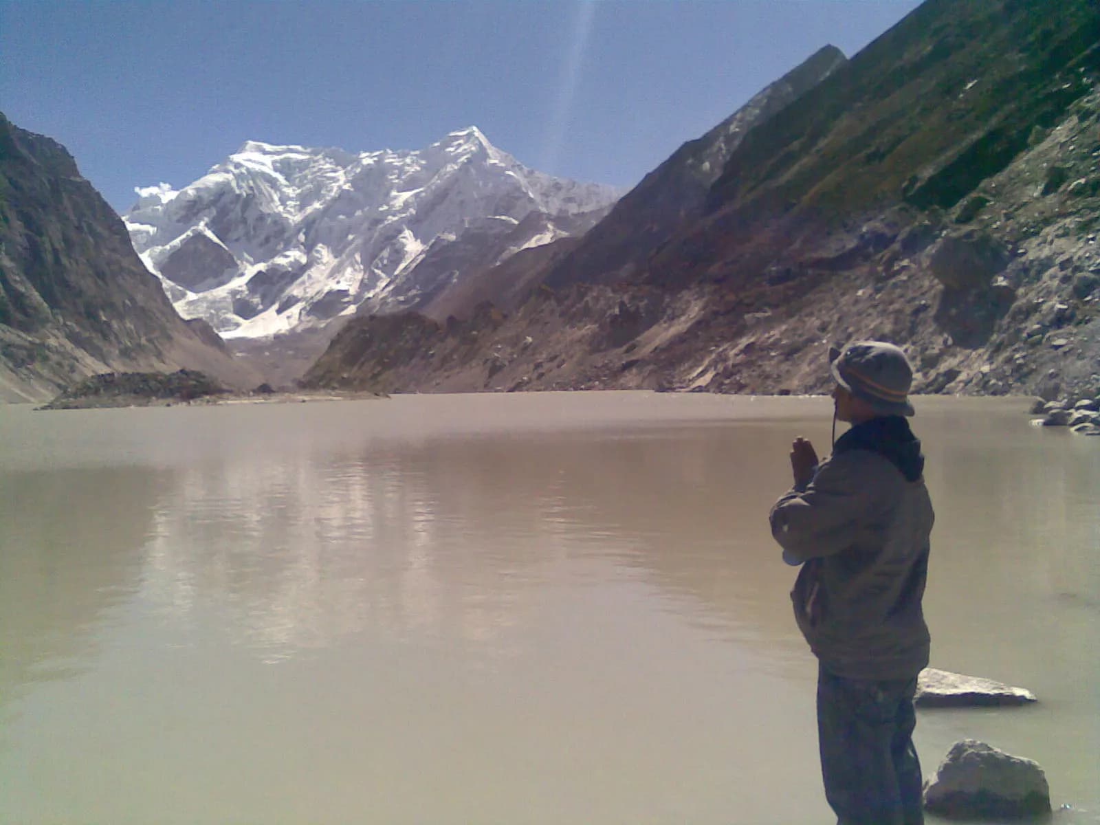
About 9 km with 380 m of climbing in 6 to 8 hours on moraine to the lake at about 4,580 m, a glacial lake held by a moraine dam under the Trakarding glacier. Start early, carry food, water and warm layers, and keep to the marked trail with your guide. Do not camp on the dam. The lake is an outburst flood risk for villages downstream, and an early warning system was installed in the late 1990s, as the region page explains.
Day 8: down to Beding
About 6 km with a descent of 470 m in 1.5 to 2.5 hours. The thicker air feels welcome and your appetite should improve. Use the time to rest and dry gear.
Day 9: Beding to Simigaon (about 1,970 m)
The long day: about 19 km with 2,030 m of descent and 310 m of climbing, in 5.5 to 8 hours, through Dongang and across bridges and forest, ending with a steep drop to the village. Use poles and short breaks, because your knees will notice. Start early.
Days 10 and 11: Chetchet and the drive
Day 10 is about 2 km with a 600 m drop in 1 to 1.5 hours, the same steep path as day 2 in reverse. Your jeep waits at the roadhead, or you rest at a lodge and drive in the morning. Day 11 is the 8 to 9 hour drive back via Singati and Charikot. Leave early and keep a spare day in the schedule for landslides.
Reading the altitude profile
The sleep column climbs in four steps: 1,410 m, 1,970 m, 2,790 m, 3,710 m, then a rest day, then 4,190 m. The steps on days 3 and 4 are each about 1,000 m of climbing, which is large, and the route page puts the rest day at Beding for that reason. The lake at about 4,580 m is only a day trip, so the highest sleep is Na. After the lake you go down to Beding, then down 2,030 m on day 9, so the descent is the real knee test. Never ascend with symptoms and descend if they worsen, as our altitude sickness basics explain.
When the plan works best
October is the best month, with stable weather and crisp air, and November brings hard frosts at Beding and Na. April has rhododendron in the lower forest and snow possible above Beding, March is cold, and May is warmer with afternoon cloud and leeches below Dongang. In the monsoon the road to Chetchet is often blocked and the trek is not recommended. In winter lodges close and there is snow above Dongang.
What to pack for this route
A sleeping bag rated to about minus 10 to minus 15 C, a down jacket, waterproofs, gaiters for snow above Beding, poles for the long descent on day 9 and a headlamp. Keep a warm layer and rain jacket in your day bag. Carry water purification, because lodges at Na may be seasonal.
Changing the plan
Do not shorten the early days: the gains of about 1,010 m and 1,050 m on days 3 and 4 are already large, which is why the rest day at Beding is there. If you want more time, add a night at Na or at Beding, and keep the lake day for the morning when the weather is clear. The Tashi Lapcha pass (about 5,755 m) to Thame is a separate technical trip needing glacier equipment and a mountaineering permit, not an extension of this plan.
Permits and cash
You need the Gaurishankar Conservation Area entry permit, bought at the checkpoint or through the agency, and a TIMS card may be requested. Our Gaurishankar permit guide explains the position. There are no cash machines in the valley, so bring rupees from Kathmandu or Charikot in small notes.
Why the plan is shaped this way
The shape follows the valley. Everything before Beding is a climb through forest that gains height quickly, so the plan keeps day 2 very short after the drive. Everything after Beding is open meadow and moraine, where the days are short and the height comes easily. That is why days 6 and 8 take only a few hours, and why the long day is the descent on day 9. Plan your own variations around that pattern rather than adding distance in the upper valley.
Related reading
Compare with other itineraries in the day-by-day hub, and read altitude sickness basics before you go.