Pokhara to Jomsom, flight versus jeep
How to get from Pokhara to Jomsom for Upper Mustang, Muktinath or the end of the Annapurna Circuit: the 20 minute flight, the all-day jeep ride, the risks of each and how to choose.
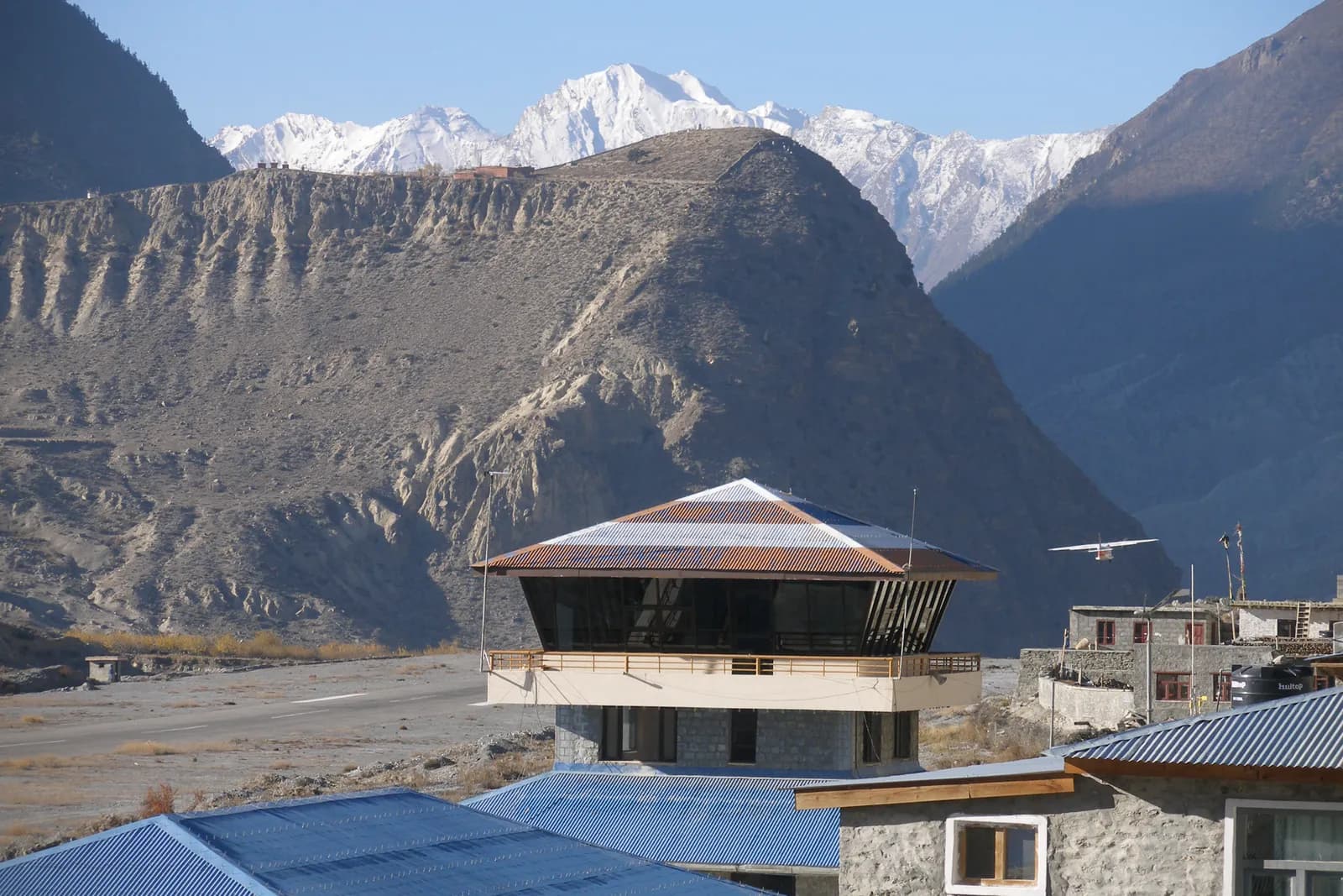
Pokhara to Jomsom is a 20 to 25 minute flight or a full day by jeep. The flight is faster and the views are better, but it depends on morning weather and is often delayed or cancelled; the jeep is slower and rougher but gives a gradual climb and does not depend on cloud. Many travellers combine them, flying one way and driving the other, and keep a spare day for either.
This guide compares the two for anyone heading to Upper Mustang, Muktinath or the Annapurna Circuit's northern end. As of October 2026, ranges vary, but recent guides quote about USD 125 to 177 one way for the flight (older pages at the low end), about NPR 1,200 (USD 9) for a public bus, NPR 1,800 to 5,000 (roughly USD 13 to 35) for a shared jeep seat, and about USD 190 to 220 (NPR 28,000 to 38,000) for a private 4WD one way, which falls per person with group size. For the permits you need after you arrive, see the Upper Mustang permit guide.
Trip terbuka di Upper Mustang Trek (Lo Manthang)
Trip nyata yang diposting trekker yang mencari teman.
Where you are going
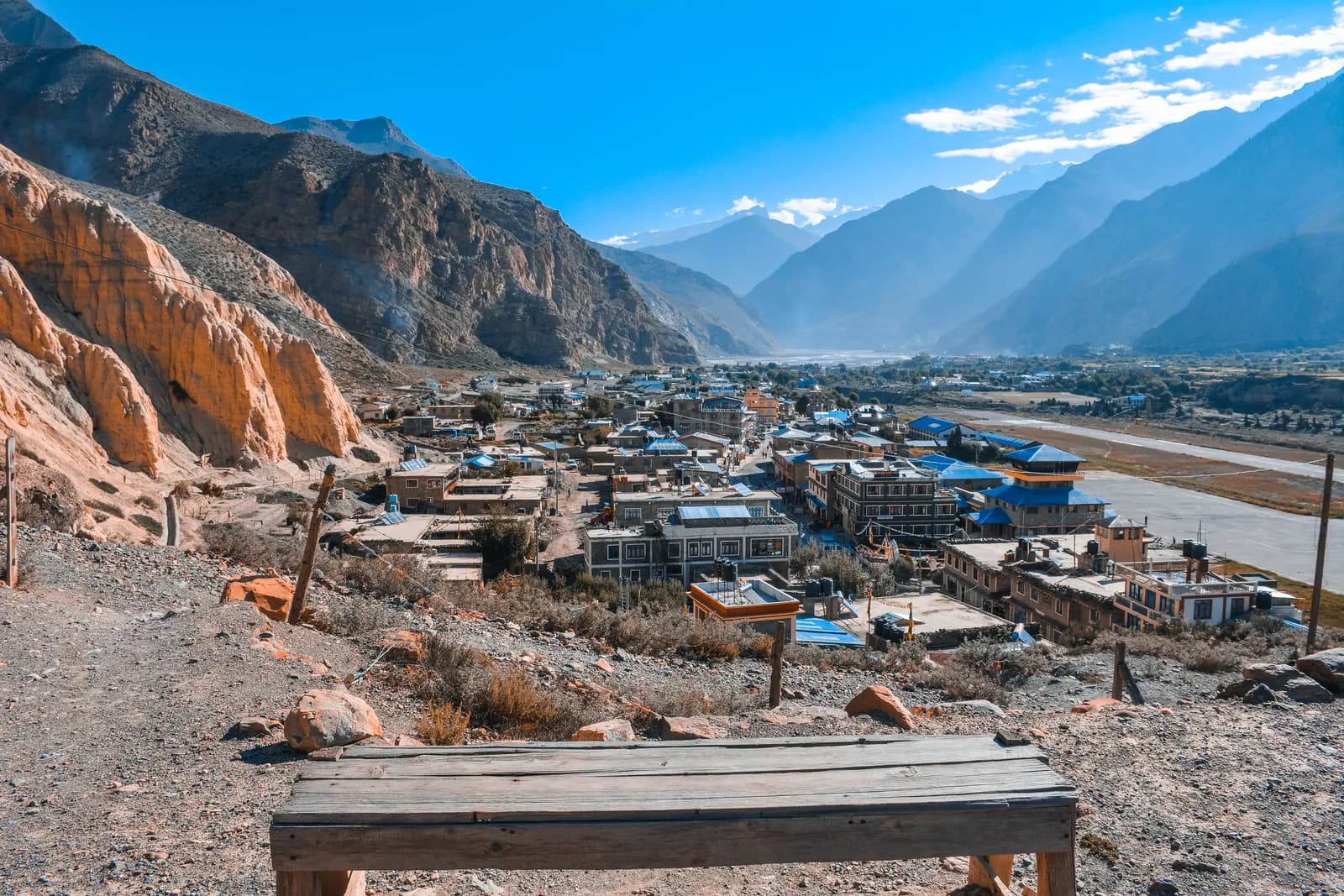
Jomsom is the main town of the Kali Gandaki valley, at about 2,720 m. It has an airport, a bazaar, banks and lodges. Kagbeni (about 2,810 m) is a short drive or walk north and is the gateway to Upper Mustang. Muktinath (about 3,800 m) is to the east, reached by jeep or walking. Jomsom is also where many Annapurna Circuit trekkers end their trek.
Flight versus jeep at a glance
| Factor | Flight | Jeep |
|---|---|---|
| Time | About 20 to 25 minutes | 8 to 12 hours or more |
| Schedule | Morning only; wind builds later | Leaves early; can run most of the day |
| Weather risk | High: cloud and wind cause delays and cancellations | Medium: rain, landslides and road works |
| Scenery | Spectacular, close to the peaks | Gradual, through the Kali Gandaki gorge |
| Acclimatisation | Abrupt rise from about 820 m to 2,720 m | Gradual over a day |
| Comfort | Small aircraft; limited baggage | Rough road, long day |
| Cost | Higher per person | Lower per person; falls with a group |
The flight
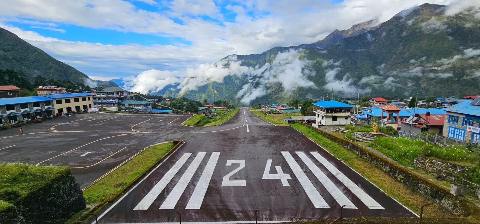
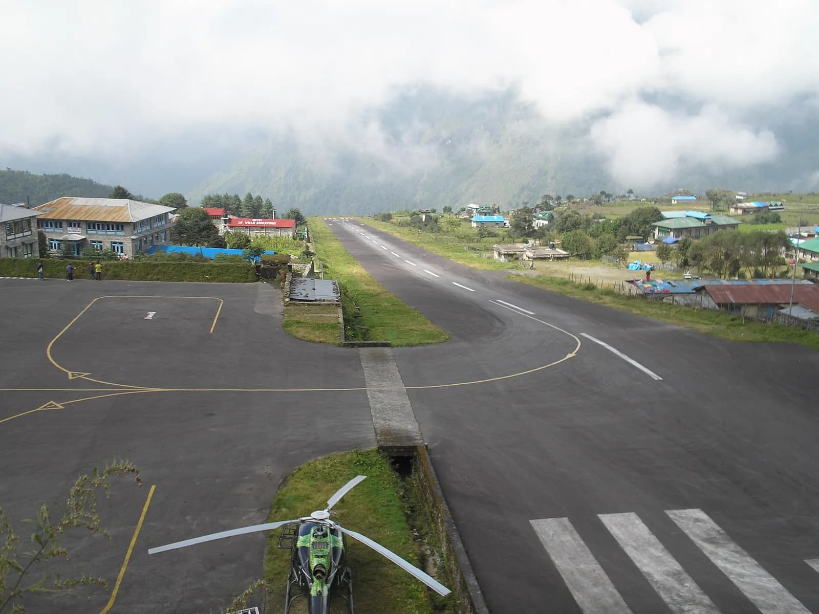
Flights from Pokhara to Jomsom operate in the morning in small aircraft such as Twin Otters and Dornier planes. The airport lies in a narrow valley, and as the sun warms the air, strong winds funnel up the Kali Gandaki, making landing and takeoff harder from late morning. That is why schedules are early and why delays turn into cancellations by midday.
Practical points:
- Book early in October and April, and confirm the date with the airline the day before.
- Baggage limits are strict. Tara Air publishes 10 kg checked plus 5 kg hand carry for its flights; we could not verify a published figure for the other operators, so confirm with your airline and weigh your bag.
- Keep your passport and ticket handy. If a flight is cancelled, rebooking happens at the counter.
- Expect delays. In the monsoon, cloud on the Pokhara side blocks flights on many days.
- Acclimatise on arrival. Drink water, rest and take it easy on the first day, since you have gone from about 820 m to 2,720 m very quickly.
The jeep
The road runs from Pokhara to Beni (about 80 km, three to four hours), then north up the Kali Gandaki valley through Tatopani, Ghasa, Kalopani and Marpha to Jomsom. The surface varies from paved stretches to rough gravel and rock, with steep drops. Jeeps are the usual vehicle because buses struggle on the worst sections.
Practical points:
- Start early. You want to arrive before dark and ahead of afternoon winds and any rain.
- Choose a reputable driver. Ask your agency or hotel for a recommendation.
- Use a shared or private jeep. A private vehicle suits groups, and sharing cuts the price.
- Plan breaks. Tatopani (about 1,190 m) has hot springs and is a good stop; Marpha is known for apples and brandy.
- Take motion-sickness medication if you are prone.
The road is subject to landslides, especially in the monsoon, and may be closed for hours or days. See monsoon trekking in Nepal for the seasonal risks.
Combining them
Many travellers use a mixed approach:
- Fly in, drive out. If the morning is clear, you save a day and enjoy the views; the return is by jeep, which does not depend on cloud.
- Drive in, fly out. You acclimatise gradually, and the return flight is a treat, though a cancelled flight on the last day can strand you.
- Drive both ways. The most reliable if the road is open, and the cheapest per person for a group.
If your plan includes a fixed international flight, avoid relying on a Jomsom flight on your last day. Fly or drive a day earlier.
Which to choose
| Situation | Better choice |
|---|---|
| Short on time, good forecast | Flight |
| Monsoon or uncertain weather | Jeep |
| Concerned about acclimatisation | Jeep, or flight with a rest day |
| Group of three or four | Private jeep |
| Solo and on a budget | Shared jeep |
| Fixed departure date | Jeep one way, with a spare day |
After you arrive
If you are going to Upper Mustang, you need a Restricted Area Permit arranged through an agency before you reach Kagbeni, as explained in the permit guide. If you are continuing on the Annapurna Circuit, the ACAP guide covers the entry permit. The best time for Upper Mustang explains why you should start walking early in the day wherever you are going, and the Annapurna region page shows how Jomsom fits the circuit.
Planning checklist
- Which route and dates, and what spare days do you have?
- Is your flight booked with a reputable airline and a spare morning?
- If driving, who is your driver and how will you split the cost?
- Have you allowed for the wind: morning flights, early starts?
- Do you have insurance that covers delays and road accidents?
For other trailheads, see the trailheads hub.
The jeep route stage by stage
| Stage | Approximate altitude | What you see | Typical time from the start |
|---|---|---|---|
| Pokhara | about 820 m | Lakeside start, subtropical valley | 0 |
| Beni | about 830 m | Confluence of the Myagdi Khola and Kali Gandaki | 3 to 4 hours |
| Tatopani | about 1,190 m | Hot springs, orange orchards | 5 to 6 hours |
| Ghasa | about 2,010 m | Forest gives way to pine | 6 to 7 hours |
| Kalopani | about 2,530 m | Views of Dhaulagiri and Annapurna I | 7 to 8 hours |
| Marpha | about 2,670 m | Whitewashed apple-growing village | 8 to 9 hours |
| Jomsom | about 2,720 m | Airport, bazaar, dry valley | 8 to 12 hours |
The valley is often described as the deepest in the world, running between the Dhaulagiri and Annapurna massifs, and the road follows the river bed for long stretches. The climate changes visibly with each stage, from green terraces to dry, wind-scoured slopes, which is one reason the jeep ride is a good introduction to Mustang. Times vary a great deal with road works and traffic, so treat the table as a rough guide.
Choosing your first night
If you arrive at Jomsom by flight, the first night can be at Jomsom or at Kagbeni, which is roughly 10 km north and slightly higher. Jomsom has more choice of lodges and services, and Kagbeni has the character of a medieval village at the mouth of Upper Mustang. If you arrive by jeep late in the day, stay in Jomsom or Marpha and move on the next morning. Marpha is a good option for a gentle first night, with its stone-flagged lanes and apple orchards.
For Upper Mustang, a night at Kagbeni before heading north is also useful as acclimatisation, because Lo Manthang is above 3,800 m. See the acclimatisation schedule for the principle.
If the flight is cancelled
On a morning when flights do not run, the airline will tell you at the airport or by phone. Your options are:
- Wait for the next morning. Most delays last a day, but monsoon delays can run longer.
- Switch to a jeep. Your agency or hotel can book one, often for the same morning, if you are ready to leave at once.
- Reconsider your plan. If you have a fixed date, shorten the trek or choose a different region.
Keep your accommodation flexible in Pokhara, and ask about refund or rebooking rules when you book. Travel insurance may cover some of the extra costs.
Safety on mountain roads
Road accidents are a real risk in Nepal, and the Kali Gandaki road has narrow sections with steep drops. Ask your agency for a driver with a good record, avoid travelling at night and do not insist on continuing if the driver says the road is unsafe. After heavy rain, landslides can appear without warning, so allow extra time and be willing to wait. Wear your seat belt, keep your daypack at your feet and carry water and snacks.
What it means for the Annapurna Circuit
On the Circuit, Jomsom is where many trekkers end the walk and take a jeep or flight back to Pokhara. If you are finishing the Circuit, think about the return in advance: the flight is quick but subject to the same weather, and the jeep can be a long day after a long trek. Many people sleep at Jomsom or Marpha, take the earliest jeep or flight and keep a spare day. Read the Annapurna Circuit itinerary for the full sequence.