

Take a micro-bus or taxi to Budhanilkantha and walk to the park gate, a short way beyond the temple. Buy your ticket, then follow the park road to Nagi Gompa, where a nunnery sits in the forest, and continue on the forest path through Baghdwar, a source of the Bagmati river, to Shivapuri Peak. The climb is about 6 km, with about 1,090 m of ascent, and takes about four hours. Rest at the summit, which is 2,732 m, then return by the same route, about two to three hours, so that you finish before dark. Carry two litres of water and a lunch.
Shivapuri Peak Day Hike
A one-day hike from the Budhanilkantha gate of Shivapuri Nagarjun National Park through Nagi Gompa to Shivapuri Peak (2,732 m) and back, about 12 km with 1,090 m of climbing.
- ימים1
- גובה מרבי2,732 מ'
- מרחק12.2 ק"מ
- עלייה1,089 מ'
- קושיבינוני
- החודשים הטובים ביותרOct–Nov, Mar–Apr
- היתרים1
תמונה: Alexey Komarov · CC BY-SA 4.0
מוצג באנגלית — טרם תורגם.
המסלול הזה הוא טיוטה וטרם אומת. תמיד אמתו את השלבים עם המדריך שלכם.
Written by FindTrekkingPartner teamנבדק על ידי FindTrekkingPartner teamאיך אנחנו בודקיםFindTrekkingPartner
Shivapuri Peak Day Hike הוא טרק של 1 ימים באזור Kathmandu Valley בנפאל, שמטפס עד 2,732 מ'. מטיילים זרים יכולים למצוא לו שותף ב-FindTrekkingPartner בפרסום טיול עם התאריכים, התקציב והקצב שלהם. ההתאמות נשארות פרטיות עד ששני המטיילים מסכימים, והשירות חינמי. במחירי טווח הביניים מדריך מורשה עולה כ-9 דולר ארה״ב לאדם על פני 1 ימים כשארבעה מטיילים חולקים, לעומת 37 דולר ארה״ב למטייל יחיד. העונות הטובות ביותר הן Oct–Nov, Mar–Apr. מדריך מורשה אינו נאכף במסלולים פתוחים כמו זה (נבדק ב-19 באוקטובר 2026): עיריית חומבו פרשה מכלל מועצת התיירות של נפאל מאפריל 2023, וטיולי יום אינם דורשים מדריך, אבל מומלץ מאוד לקחת מדריך בכל זאת, לכן אשרו מול הסוכנות. טיולים פתוחים למסלול זה מופיעים למטה, עם חודש יציאה, גודל קבוצה ומקומות פנויים. אומת לאחרונה: 19 באוקטובר 2026. מקורות: מועצת התיירות של נפאל, DNPWC, מחלקת ההגירה.
מקורות:Department of Immigration, NepalNepal Tourism BoardDepartment of National Parks and Wildlife Conservation
מצאו שותף לShivapuri Peak Day Hike
- מצאו שותף לShivapuri Peak Day Hikeעדיין אין טיולים פתוחים
- מצאו שותף לNagarkot to Changu Narayan Day Hikeעדיין אין טיולים פתוחים
- מצאו שותף לChisapani Nagarkot Trekעדיין אין טיולים פתוחים
- מצאו שותף לChampadevi Day Hikeעדיין אין טיולים פתוחים
- מצאו שותף לPhulchowki Day Hikeעדיין אין טיולים פתוחים
- מצאו שותף לNamo Buddha Day Hikeעדיין אין טיולים פתוחים
סקירה
יוצא מ-Budhanilkantha1 ימים · עד 2,732 מ'
העונות הטובות ביותר: Oct–Nov, Mar–Apr · היתרים: Shivapuri Nagarjun National Park entry permit (NPR 1,000 for foreigners)
The Shivapuri Peak hike is a one-day walk from the Budhanilkantha gate of Shivapuri Nagarjun National Park to the summit of Shivapuri, 2,732 m, and back, a route of about 12 km with about 1,090 m of climbing that takes six to seven hours for most walkers. The trail follows the park road to Nagi Gompa, a nunnery in the forest, then climbs through Baghdwar, a source of the Bagmati river, to the top, where on a clear morning you see the Kathmandu Valley below and the Langtang and Ganesh Himal ranges beyond. There is no food on the trail, so carry water and lunch. The park entry fee for foreigners is NPR 1,000. It needs no guide, no flight and no gear beyond boots, water and a rain jacket, and the best months are October to November and March to April.
The plan follows operator descriptions that agree on the Budhanilkantha start, Nagi Gompa and the Bagmati source, and on the six to seven hour timing; one of them measures about 16 km and 1,585 m of gain with extra loops, and ours is the direct route. The height of the peak, 2,732 m, comes from Wikipedia, OpenStreetMap and the operators.
What the hike is like
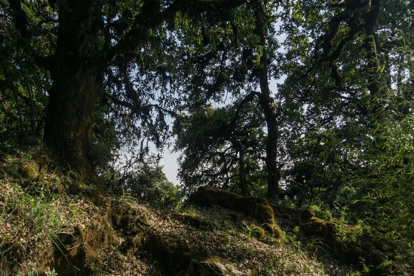
After the gate the path follows the park road to Nagi Gompa, then a path through oak and rhododendron forest, with stone steps near the top. The Baghdwar spring, a stone spout carved as a face, is on the way. Mist can hide the way on the upper ridge, so carry a map. Monkeys live in the forest and should not be fed.
Permits and rules
The park entry fee is NPR 1,000 for foreigners and NPR 600 for SAARC nationals per entry, according to the Nepal Tourism Board. Carry your ticket on the trail.
Best season
October to November and March to April. In the monsoon the trail is slippery and cloud hides the views.
Getting there and away
Take a micro-bus or taxi from Kathmandu to Budhanilkantha, about 30 to 45 minutes. The gate is a short walk beyond the temple, and the return is the same way.
Difficulty and fitness
The hike is moderate: it climbs about 1,090 m, mostly on stone steps and forest paths, and takes six to seven hours. Good boots, two litres of water and a rain jacket are enough. Start by 7 am so that you are down before the afternoon cloud and before dark.
Budget notes
The only fee is the park entry, NPR 1,000 for foreigners. Add a micro-bus or taxi to Budhanilkantha and lunch. The costs section shows the transfer as a line to check.
Guide rule
Buy the park entry ticket at the gate; no guide check is reported on this route (checked 19 October 2026). See the guide rule by region.
נקודות עיקריות
- Shivapuri Peak at 2,732 m, the highest point of the park
- Nagi Gompa, a nunnery in the forest above Budhanilkantha
- Baghdwar, a source of the Bagmati river
- Oak and rhododendron forest within sight of the city
- A full day hike that starts at a city bus stop
מפת מסלול
נתוני המסלול מ-OpenStreetMap ועדיין לא נבדקו על ידי הצוות שלנו. השתמשו בהם לתכנון, לא לניווט.
יום אחר יום
כמה זה עולה
עלות משוערת הכול כלול לאדם: לינה ואוכל לפי גובה, תחבורה, היתרים, מדריך וסבלים. ככל שיותר מטיילים חולקים מדריך וסבלים, כל אחד משלם פחות. נכון ל-אוקטובר 2026.
| סגנון | מטייל 1 | 2 מטיילים שחולקים עלויות | 4 מטיילים שחולקים עלויות |
|---|---|---|---|
| חסכוני | 0 $–10 $* | 0 $–10 $* | 0 $–10 $* |
| בינוני | 50 $–80 $* | 30 $–50 $* | 20 $–40 $* |
| נוחות | 50 $–80 $* | 30 $–60 $* | 30 $–50 $* |
חלקו מדריך, חסכו כסף
בטווח הבינוני, מטייל יחיד משלם כ-50 $–80 $; ארבעה מטיילים שחולקים מדריך אחד ושני סבלים משלמים כ-20 $–40 $ כל אחד (60% פחות בקצה העליון של הטווח).
פירוט ל-2 מטיילים שחולקים עלויות
| פריט | חסכוני | בינוני | נוחות |
|---|---|---|---|
| היתרים | 0 $–10 $ | 0 $–10 $ | 0 $–10 $ |
| מדריך | — | 10 $–30 $ | 10 $–30 $ |
| סבלים | — | 0 $–20 $ | 10 $–30 $ |
תקציבי משתמש בתחבורה ציבורית וללא סבל; בינוני חולק סבל אחד בין שני מטיילים ורכב פרטי; נוח נותן לכל מטייל סבל. מדריך כלול כשהוא נדרש או כשהסגנון בינוני או נוח.
דמי היתרים (מקורות רשמיים)
- Shivapuri Nagarjun National Park entry permit: 1,000 NPR לכניסה מקור
לא כלול
לא נמצא מחיר מפורסם עבור: Kathmandu to Budhanilkantha and back. סכומים המסומנים ב-* אינם כוללים אותם; שאלו את הסוכנות. Park entry ticket at the gate; no guide check reported (checked 19 October 2026).
מקורות העלויות
- PriceNepal: Nepal Travel Cost Guide 2026 (2026-05-14)
- Third Rock Adventures: Nepal trek budget planner (2026-05-09)
- Himalayan Partner: Guide and porter price in Nepal 2026 (2026-02-10)
- Shikhar Adventure: Annapurna Circuit trek cost (2026-02-03)
- Nepal Tourism Board: Trekking Permit (2026-10-18)
הערכות ממדריכי מפעילים, לא הצעות מחיר. תשר, ביטוח, ציוד ומלונות בקטמנדו אינם כלולים; USD לפי שער ההמרה של הפלטפורמה.
תמונות
שאלות נפוצות
Six to seven hours for the round trip, according to operators, with about four hours of ascent. Our map shows about 12 km and 1,090 m of climbing each way.
2,732 m, according to Wikipedia, OpenStreetMap and operator pages. One operator listing gives 2,535 m, which looks like an error.
Yes, the Shivapuri Nagarjun National Park entry permit, NPR 1,000 per person for foreigners and NPR 600 for SAARC nationals, per the Nepal Tourism Board. Children under 10 enter free.
No. Operators note that there are no food stops, so carry water and lunch. Nagi Gompa is a nunnery, not a restaurant.
מקורות
לאורך השביל
לינה, סיוע רפואי, מים ונקודות עניין בכל יום של המסלול.
1. Budhanilkantha
- Camping · לינה · 1,858 מ'
- Drinking Water · מעשי · 1,989 מ'
- Baghdwar · מעשי · 2,513 מ'
- Abandoned Hut · לינה · 2,726 מ'
- View Point · נקודות תצפית · 2,691 מ'
- Camp · לינה · 2,344 מ'