Gosaikunda trek itinerary, day by day
A 6-day Gosaikunda itinerary from Kathmandu via Dhunche, Sing Gompa and Laurebina to the lakes at 4,380 m and down through Thulo Syabru, with the altitude gains that make it harder than it looks.
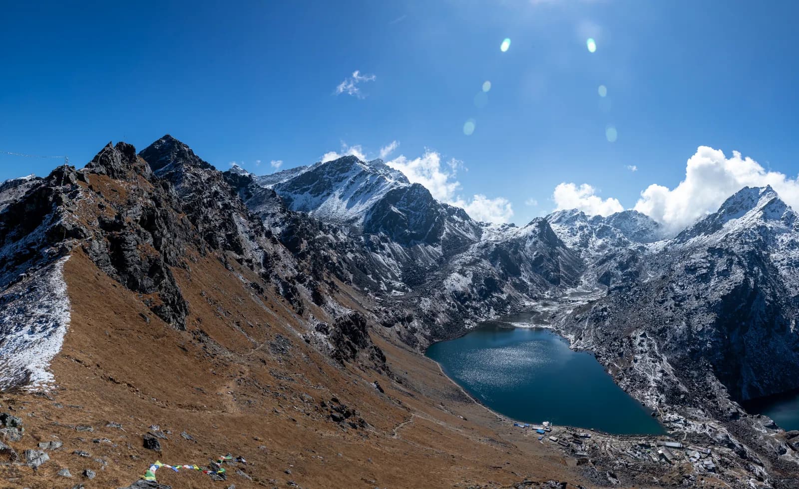
The Gosaikunda itinerary here takes six days from Kathmandu: a 6 to 7 hour drive to Dhunche (1,960 m), a steep climb to Sing Gompa (3,330 m), a second climb through Laurebina to the lakes at 4,380 m, a long descent to Thulo Syabru (2,210 m), a walk down to Syabrubesi (1,460 m) and the drive back. It is the shortest way to a high alpine lake in Nepal, and the climb is much faster than the Langtang Valley, so the plan below spends its effort on pacing.
Before using it, read the note on current conditions: the Trishuli corridor was hit by floods in August 2026, and Dhunche and Syabrubesi are on this route. The route data is on the Gosaikunda route page, and the wider picture is in the Langtang region trekking guide.
טיולים פתוחים בGosaikunda Lake Trek
טיולים אמיתיים שפרסמו מטיילים שמחפשים שותפים.
Check conditions first
On 26 August 2026 a glacier collapse near Langtang Lirung triggered floods and debris flows along the Trishuli river. According to the Wikipedia account of the event, floodwater entered Dhunche and Syabrubesi, the Syabrubesi to Rasuwagadhi road was damaged and a large number of bridges were destroyed or damaged. The plan below describes the trek as it was laid out before the floods. We have not been able to confirm whether the road to Dhunche, the trail, the lodges and the permit posts are open, so ask a registered agency, the Department of National Parks and Wildlife Conservation or the Nepal Tourism Board for the current position before you book.
The 6 days at a glance
| Day | From - to | Time | Sleep |
|---|---|---|---|
| 1 | Kathmandu - Dhunche | 6-7 h drive | 1,960 m |
| 2 | Dhunche - Sing Gompa (Chandanbari) | 5-6 h | 3,330 m |
| 3 | Sing Gompa - Gosaikunda via Laurebina | 5-6 h | 4,380 m |
| 4 | Gosaikunda - Thulo Syabru | 7-8 h | 2,210 m |
| 5 | Thulo Syabru - Syabrubesi | 4 h | 1,460 m |
| 6 | Syabrubesi - Kathmandu | 7-8 h drive | 1,400 m |
Day 1: Kathmandu to Dhunche (1,960 m)
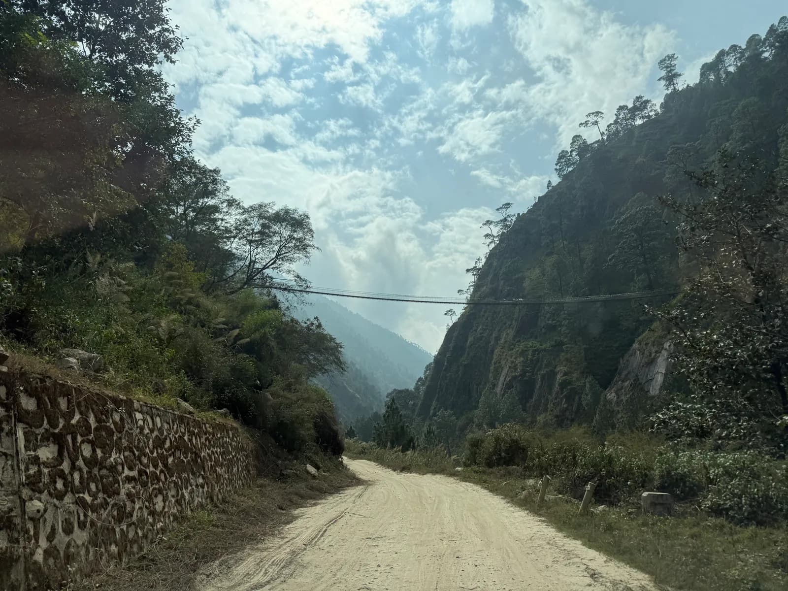
The drive follows the Trishuli river and climbs through terraced hills and forest to Dhunche, the headquarters of Rasuwa district and the entrance to Langtang National Park, where permits are checked. The town has lodges, shops and a view of Langtang Lirung on a clear day. Use the evening to check gear and permits, drink water and ask the lodge about trail conditions. Tomorrow is steep. The road is covered in Kathmandu to Syabrubesi for Langtang, because it is the same road for most of the way.
Day 2: Dhunche to Sing Gompa (3,330 m)
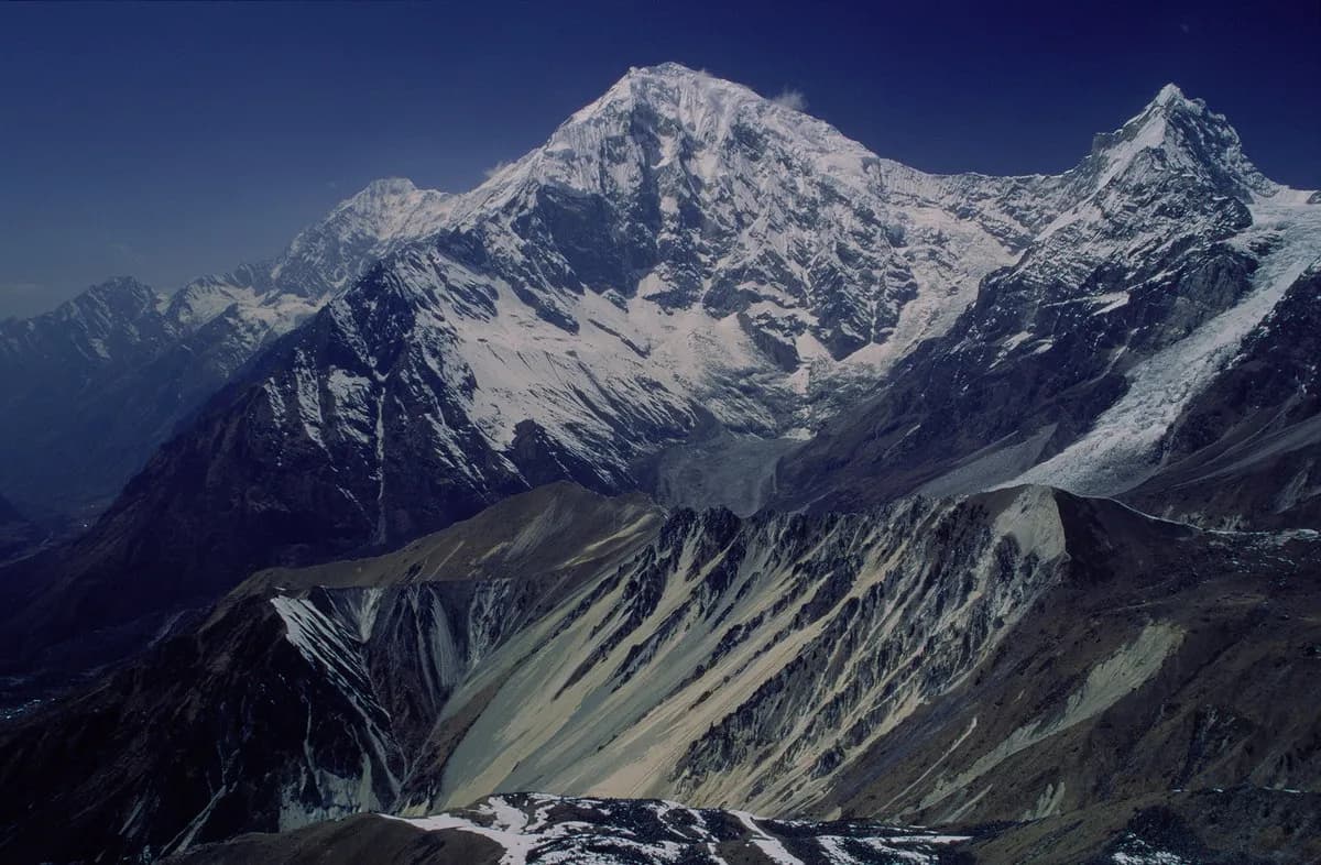
A hard day. The trail climbs in switchbacks through oak and rhododendron forest, past Bharku, to Sing Gompa, also called Chandanbari, at about 3,330 m. That is a gain of about 1,370 m in five to six hours. The viewpoints open when the cloud lifts, with Langtang Lirung ahead. Sing Gompa has a small monastery, a cheese factory and several lodges, and the dining room is the warmest place in the evening. Drink water and watch for headaches.
This is the first decision point. If you feel any symptoms at Sing Gompa, spend a second night here rather than climbing on. The view is the same and the altitude is what it is, so a rest day is cheap insurance.
Day 3: Sing Gompa to Gosaikunda (4,380 m)
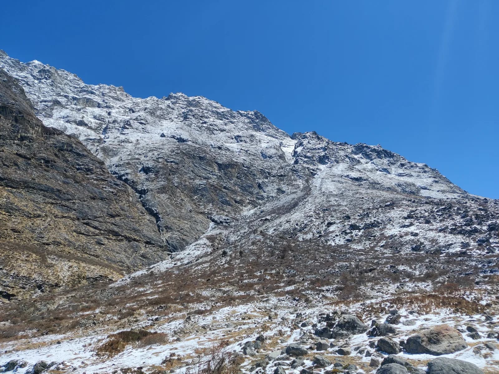
The trail climbs through juniper and rhododendron forest to Laurebina Yak, where the trees end and the views open, then follows a rocky ridge to the lakes. The ridge has exposed sections, so take care, especially in cloud or snow. Gosaikunda sits at about 4,380 m in a rocky cirque, with a series of lakes. The main lake is a sacred site for Hindus and Buddhists, and Bhairav Kunda, Saraswati Kunda and Surya Kunda lie nearby.
The day takes five to six hours, and the sleeping gain from Sing Gompa is about 1,050 m, which is well above the 300 to 500 m a night that the Wilderness Medical Society and CDC Yellow Book suggest above 3,000 m. That is why the plan is fragile. If you have a headache, nausea or unusual breathlessness at Laurebina, stop there for the night or descend. Do not push on to the lakes with symptoms. Our acclimatisation schedule and altitude sickness basics cover the rules.
Day 4: Gosaikunda to Thulo Syabru (2,210 m)
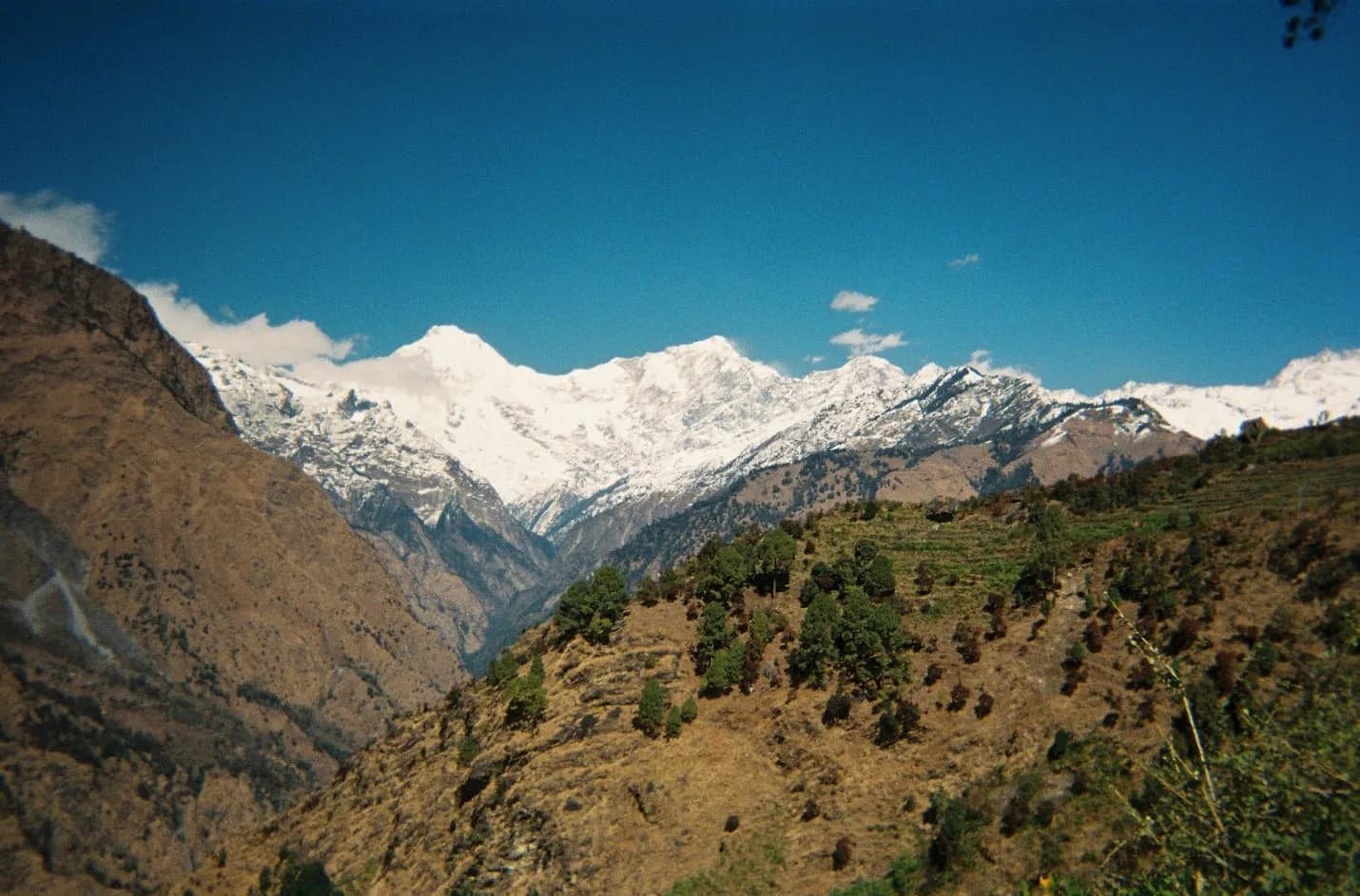
Spend the morning at the lakes, when the water is still and the peaks reflect in it, then start the long descent. The path climbs briefly on the Laurebina La side, then drops steeply through rhododendron and bamboo forest to Phedi and Thulo Syabru, a Tamang village of terraced fields with a view of Langtang Lirung. It is a day of 7 to 8 hours, and it drops about 2,170 m, which is hard on the knees. Use poles and keep your pace steady. Thulo Syabru has lodges, and the lower altitude helps you sleep.
Days 5 and 6: out to Syabrubesi and Kathmandu
Day 5 follows terraced fields and forest down to the Bhote Koshi valley, crosses a suspension bridge and follows the road to Syabrubesi in about four hours. Day 6 is the drive back via Dhunche and Trishuli, 7 to 8 hours. Start early to avoid landslide and roadwork delays, and do not book an international flight for the evening of day 6.
What decides this trek: the two days up
Gosaikunda looks like a modest six-day plan, and that is the trap. On day 2 you gain about 1,370 m and on day 3 about 1,050 m, so you go from 1,960 m to 4,380 m in two walking days. Compare the Langtang Valley, which spreads a similar climb over several more days with a rest day at the top. Anyone who arrives at Dhunche without recent time above 3,000 m is better off adding a night at Sing Gompa or Laurebina, even though the itinerary then takes seven days. Treat the extra night as part of the plan, not an apology for it.
The festival and the crowds
Gosaikunda draws thousands of pilgrims at Janai Purnima in August, when people walk up in monsoon rain. If you are going then, expect crowds and wet trails, and book lodges ahead. The lakes freeze in winter and the trail is under snow, so the standard season for trekkers is October and November (clearest) with April and May also good. Our best time for Langtang Valley covers the same months.
Permits and the guide rule
You need a Langtang National Park entry permit, NPR 3,000 for foreigners per entry as of October 2026 (SAARC nationals NPR 1,500, children under 10 free), and a TIMS card where it is required. The Nepal Tourism Board lists the TIMS card at NPR 2,000 for foreigners (SAARC nationals NPR 1,000), and the agency that issues it may add a service charge. See the Langtang National Park permit guide.
On guides, a licensed guide through a registered agency is required in restricted areas, and under the Nepal Tourism Board rule of April 2023 in national parks and conservation areas, where 2026 operator reports say checkpoints enforce it in Annapurna and Langtang, the strictest, but not in Khumbu (checked 19 October 2026). Our route data marks a guide as required here, and the exposed ridge and fast gain make one sensible regardless. See the guide rule by region.
Lodges, food and costs
Lodges at Sing Gompa, Laurebina Yak and Gosaikunda are simple, with unheated bedrooms and very cold nights. Charging is slow and expensive, and there are no hot showers above Dhunche. Cheese from the Sing Gompa cheese factory is a treat. Meals cost more at altitude because supplies are carried up by porters. As of October 2026 the Langtang cost data gives a dal bhat of NPR 600 to 1,000 between 2,500 and 3,800 m and NPR 1,100 to 1,800 above 3,800 m, a guide day of NPR 2,700 to 4,000 and a porter day of NPR 2,100 to 3,400 (market ranges, not official rates). A local bus from Kathmandu is about NPR 800 to 1,500, a shared jeep NPR 1,500 to 3,000 and a private jeep NPR 15,000 to 29,500 per vehicle. Carry rupees, as there are no machines on the trail.
Packing for the cold
Waterproof boots, warm layers, a down jacket, hat and gloves, a sleeping bag rated to about -10 C, poles, a headlamp, water purification and a first-aid kit. Carry water above Laurebina, because springs are few. Keep camera batteries warm. More in the Nepal trek packing list.
Options
| Option | Adds | Notes |
|---|---|---|
| Extra night at Sing Gompa or Laurebina | 1 day | Safer pacing, strongly advised |
| Over the Laurebina La to Helambu | 3-4 days | High pass at about 4,600 m, ends near Kathmandu |
| Add the Langtang Valley | several days | Return to Syabrubesi and walk up the valley |
If you take the Helambu option, read the Helambu region guide and the Helambu circuit itinerary first. Do not add the pass casually: it takes you over about 4,600 m in a day with exposed terrain.
Sharing the trek
The jeep and the guide are the main shared costs, and a private jeep costs the same for one or four. Use the Gosaikunda partner page to post dates and read what to agree with trekking partners before you book, especially what you will do if one of you has to turn back at Laurebina.
More itineraries
See the route guides category and the day-by-day itineraries hub for the others, and the Langtang Valley itinerary if you would rather spread the climb.
The regional data is on the Langtang region page.