Upper Dolpo itinerary day by day
A 22-day Upper Dolpo itinerary: Juphal, Phoksundo Lake, the Kang La, Shey Gompa, Saldang, the Jeng La and Dho Tarap, with sleeping altitudes, distances and rest days.
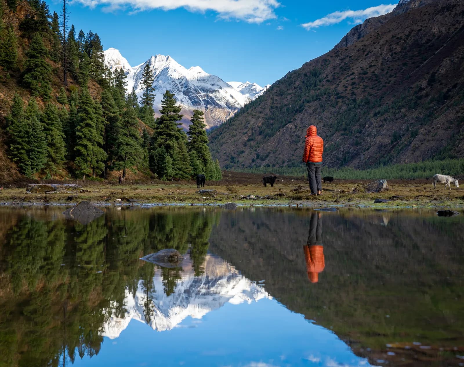
The Upper Dolpo itinerary here takes 22 days from Kathmandu. Two flights get you to Juphal (about 2,490 m), the first week walks through Dunai, Chhepka and Ringmo to Phoksundo Lake, and then the trek crosses the Kang La (about 5,360 m) to Shey Gompa, continues to Namgung and Saldang, crosses the Jeng La (about 5,100 m) to Dho Tarap and descends through Lahini, Khanigaon, Tarakot and Dunai back to Juphal. The route page counts about 270 km on foot with roughly 12,000 m of climbing, and most nights are in tents. Upper Dolpo is a restricted area, so a Restricted Area Permit, a registered agency and a licensed guide are part of the plan. The route data is on the Upper Dolpo route page, and the Dolpo region guide explains where it fits.
Walking times are estimates from distance and climb, and operators quote different hours, particularly on the Kang La, Jeng La and Tarap valley days.
سفرهای باز Upper Dolpo: Shey Phoksundo to Shey Gompa
سفرهای واقعی که ترکرهای جویای همراه ثبت کردهاند.
The 22 days at a glance
| Day | From - to | Time | Sleep |
|---|---|---|---|
| 1 | Kathmandu - Nepalgunj (flight) | about 1 h flight | about 160 m |
| 2 | Nepalgunj - Juphal (flight) | about 40 min flight | about 2,490 m |
| 3 | Juphal - Chhepka | 7-10 h | about 2,660 m |
| 4 | Chhepka - Ringmo | 6-9 h | about 3,640 m |
| 5 | Ringmo (rest) | 3-5 h walk | about 3,640 m |
| 6 | Ringmo - Lar Tsa | 5.5-7 h | about 3,740 m |
| 7 | Lar Tsa - Kang La - Shey | 7-10 h | about 4,360 m |
| 8 | Shey (rest) | 3-4 h walk | about 4,360 m |
| 9 | Shey - Namgung | 6-7 h | about 4,340 m |
| 10 | Namgung - Saldang | 3-4 h | about 3,980 m |
| 11 | Saldang (rest) | - | about 3,980 m |
| 12 | Saldang - Rakyo | 6-7 h | about 4,160 m |
| 13 | Rakyo - Jeng La Phedi | 4-5 h | about 4,470 m |
| 14 | Jeng La Phedi - Jeng La - Dho Tarap | 9-10 h | about 4,080 m |
| 15 | Dho Tarap (rest) | - | about 4,080 m |
| 16 | Dho Tarap - Lahini | 6-7 h | about 3,740 m |
| 17 | Lahini - Khanigaon | 6-7 h | about 2,950 m |
| 18 | Khanigaon - Tarakot | 5-6 h | about 2,540 m |
| 19 | Tarakot - Dunai | 6-7 h | about 2,090 m |
| 20 | Dunai - Juphal | 3-4 h | about 2,490 m |
| 21 | Juphal - Nepalgunj (flight) | about 40 min flight | about 160 m |
| 22 | Nepalgunj - Kathmandu (flight) | about 1 h flight | about 1,400 m |
Days 1 and 2: Nepalgunj and Juphal
Nepalgunj is the hub for far-west flights and is often very hot. Sort permits, pack and rest, because the Juphal flight leaves early and depends on the weather. The 40 minute flight lands on a short airstrip at about 2,490 m above Dunai, with first views of the Dhaulagiri range. Keep two spare days in the schedule for the flights; our getting to Dolpo article explains why.
Days 3 to 5: to Phoksundo Lake
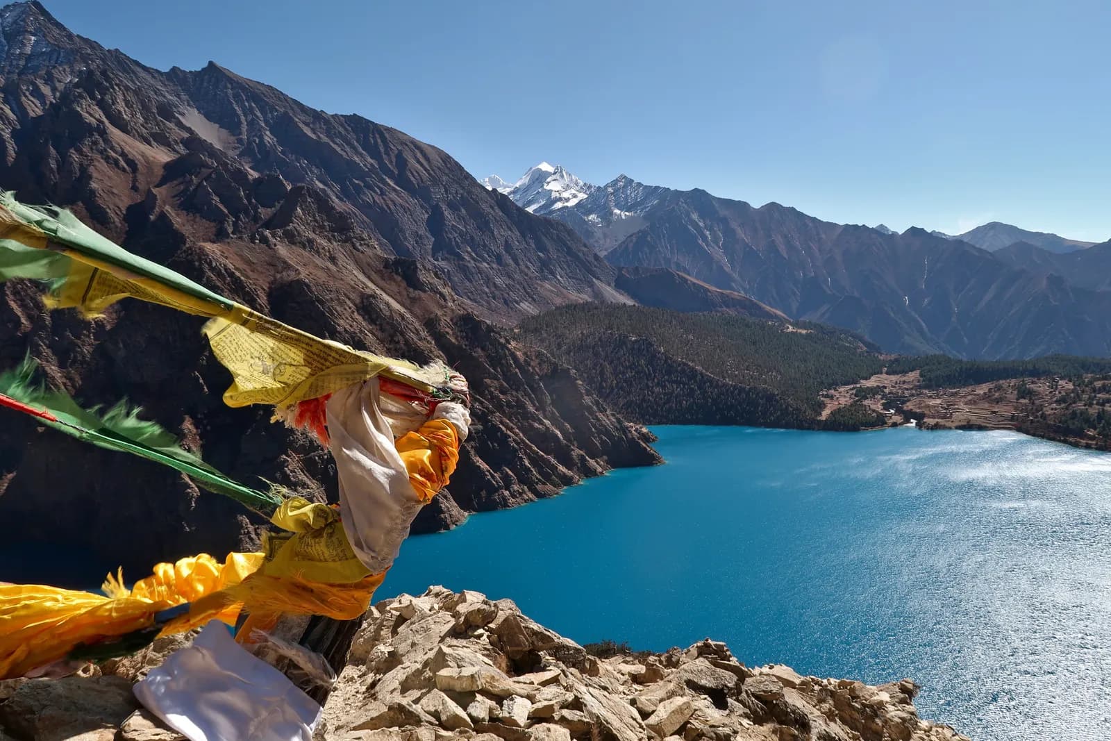
Day 3 is a long first walk of about 25 km with 1,150 m of climbing, in 7 to 10 hours, so many groups split it. The trail drops to the Thuli Bheri, passes through Dunai and follows the river to Sulighat, the entrance to Shey Phoksundo National Park, then climbs to Chhepka. Day 4 is hard: about 20 km with 1,670 m of climbing in 6 to 9 hours along the Suligad river through Rechi and Sanduwa, with steep sections and waterfalls, until the lake basin opens and you see Phoksundo Lake at about 3,610 m. Ringmo is a village of flat-roofed houses. Day 5 is a rest and acclimatisation day, walking to the shore, visiting the Bon monastery and chortens, and looking up at the 167 m waterfall below the village.
Day 6: Ringmo to Lar Tsa (about 3,740 m)
About 15 km with 830 m of climbing in 5.5 to 7 hours along the western shore of the lake, on rock ledges high above the water, then along the Phoksundo Khola to a camp in a wide valley. This is the last gentle day before the pass.
Day 7: over the Kang La to Shey (about 4,360 m)
The day the trek is built around. From Lar Tsa you cross the Kang La, also called the Nangdalo La, at about 5,360 m, then drop to Shey Gompa at about 4,360 m. The route is about 15 km with 1,600 m of climbing and 1,030 m of descent, and the route page says 7 to 8 hours by the trail but longer for slower groups, while the table field says 9 to 10. Start before dawn, carry lunch, water and warm layers, and move steadily. Turn around if symptoms appear.
Day 8: rest at Shey
Visit the 11th-century gompa, walk to Tsakhang Gompa on the hillside (about 4,540 m) and see the Crystal Mountain that pilgrims circle each year. Respect the monastery and walk clockwise.
Days 9 to 11: Namgung and Saldang
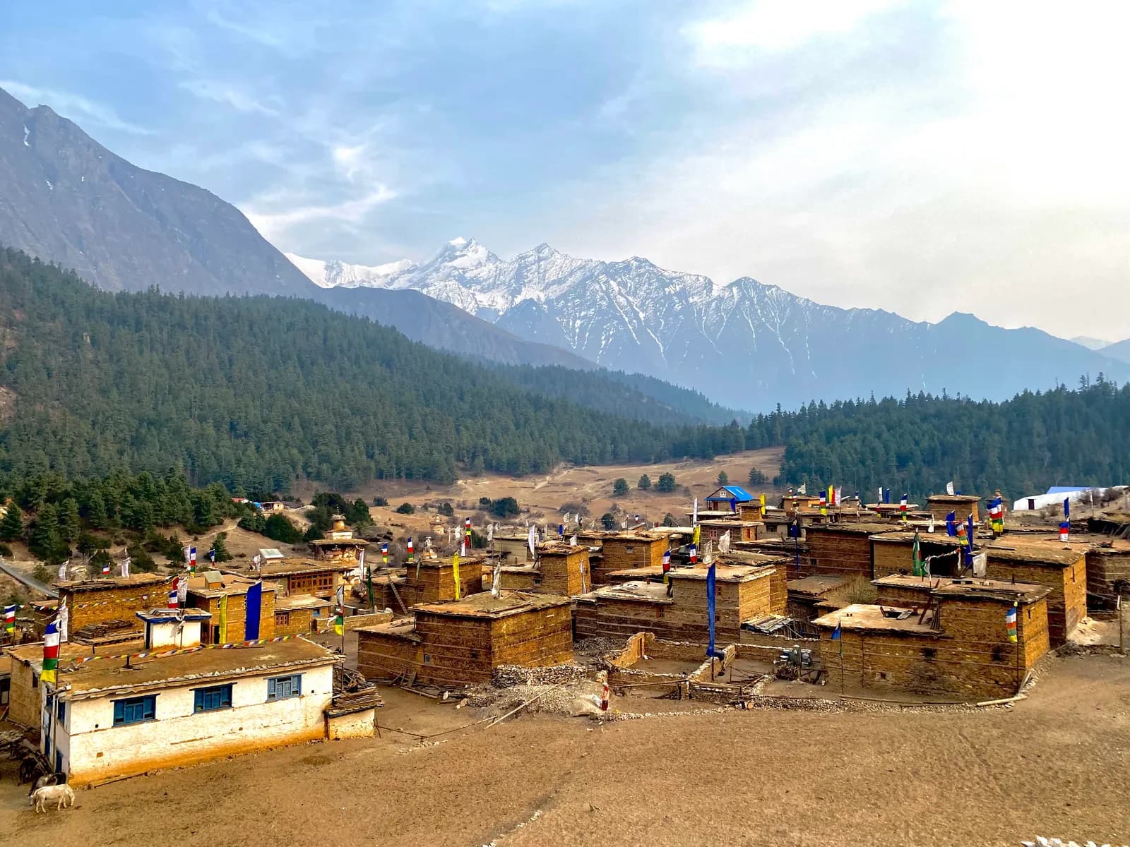
Day 9 climbs across the saddle that OpenStreetMap tags as Sela Bhaniyan, at about 5,110 m and probably the Saldang La of the sources, then descends to Namgung (about 4,340 m), about 13 km in 6 to 7 hours over barren hills and open plateau. Day 10 is a short 7 km walk in 3 to 4 hours across barley fields and past chortens to Saldang, the largest village of Upper Dolpo, at about 3,980 m, with a monastery, a school and a small clinic. Day 11 is a rest day to meet people and see the monastery, or to make the day trip to Yangtser Gompa that some groups use.
Days 12 to 14: to the Jeng La and Dho Tarap
Day 12 is about 14 km in 6 to 7 hours through Namdo to Rakyo (about 4,160 m), run with tents. Day 13 is a moderate 12 km in 4 to 5 hours with about 300 m of climbing to the Jeng La Phedi camp at about 4,470 m. Day 14 is the second big pass day: from the phedi camp over the Jeng La, which OpenStreetMap tags as about 5,124 m and sources quote at about 5,090 m, then past Tokyu to Dho Tarap at about 4,080 m. It is about 22 km and takes 9 to 10 hours, so start before dawn.
Days 15 to 20: Dho Tarap and the long way out
Day 15 is a rest day at Dho Tarap to visit the Buddhist and Bon gompas such as Ribo Bumpa Gompa. Days 16 and 17 descend the Tarap valley, about 18 km each in 6 to 7 hours, to the Lahini camp (about 3,745 m, position approximate) and to Khanigaon (about 2,950 m) through a narrowing gorge. Day 18 is about 11 km to Tarakot (about 2,540 m), with walnut and apple orchards. Day 19 is about 17 km along the Bheri river to Dunai (about 2,090 m), and the afternoon heat can be strong. Day 20 is a short climb of about 560 m to Juphal.
Days 21 and 22: flights
Flights from Juphal are often delayed, so the route page recommends a spare day. If the Kathmandu flight is the same day you connect at Nepalgunj, otherwise you rest in a hotel.
Reading the altitude profile
Look at the sleep column as a sawtooth. The trek reaches about 3,640 m at Ringmo by day 4 and rests there before climbing to Lar Tsa (about 3,740 m). The Kang La at about 5,360 m is then crossed in one day with a sleep at Shey (about 4,360 m), a gain of about 1,600 m in a day that the region page calls unavoidable. After a rest day the trek crosses another saddle of about 5,100 m to Namgung and then drops to Saldang at about 3,980 m, which lets your body recover. The Jeng La day repeats the pattern. Because rescue in Upper Dolpo can take a full day, the route page's advice is to ascend slowly, never ascend with symptoms and descend if they worsen. The four rest days (Ringmo, Shey, Saldang and Dho Tarap) are the safety margin, so do not trade them for spare days at the end unless your guide agrees.
Shortening and extending
The route page suggests returning from Saldang over the Kang La, which saves about a week, adding the Yangtser Gompa day trip, adding the Numa La and Baga La route from Dho Tarap to Phoksundo (inside the restricted area), or adding rest days to ease flight uncertainty. For the Lower Dolpo version, see the Phoksundo Lake route.
Preparation
The route suits fit, experienced trekkers who are comfortable camping and sleeping above 4,000 m. Prepare with long hill walks with a loaded pack, because several days run 8 to 10 hours. Pack a sleeping bag rated to about minus 15 C, a sun hat, sunglasses and gaiters, and read our altitude sickness basics and acclimatisation schedule. For the paperwork see the Dolpo permits article, and for other itineraries use the day-by-day hub.