Nar Phu valley trekking guide
The Nar Phu valley trek explained: the gorge from Koto, Phu and Nar villages, the Kang La at about 5,306 m, restricted-area rules, the Marsyangdi road, seasons and who it suits.
Nar Phu is a restricted valley on the north side of the Annapurna range, in Manang District, reached by turning off the Annapurna Circuit road at Koto. The 11-day route plan drives from Kathmandu to Besisahar and on to Koto, climbs through a narrow gorge to Meta, Kyang and Phu (about 4,080 m), crosses to Nar (about 4,110 m), returns over the Kang La at about 5,306 m to Ngawal and walks to Manang before driving home. It covers about 82 km on foot, is rated hard, and needs a Restricted Area Permit through a registered agency, the Annapurna Conservation Area permit and a licensed guide. It suits fit trekkers who want Tibetan-style villages and a quiet valley and can handle a high pass. The reference page is the Nar Phu Valley route and the Annapurna region page.
سفرهای باز Nar Phu Valley Trek
سفرهای واقعی که ترکرهای جویای همراه ثبت کردهاند.
What makes Nar Phu different
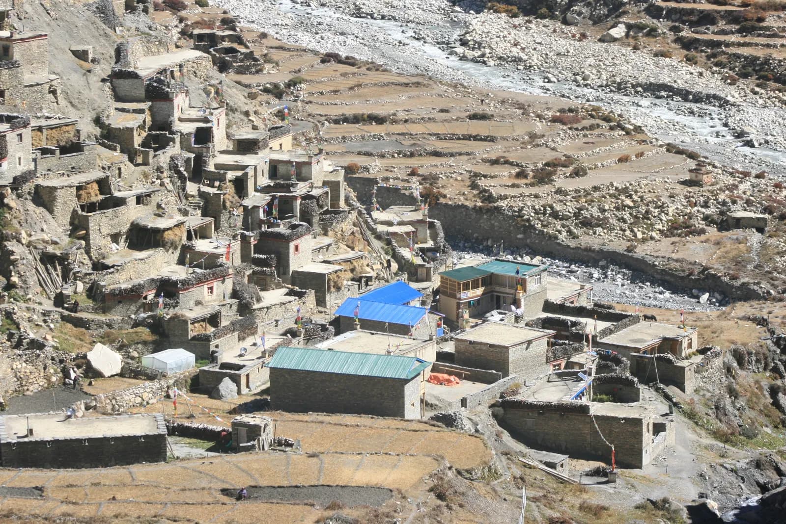
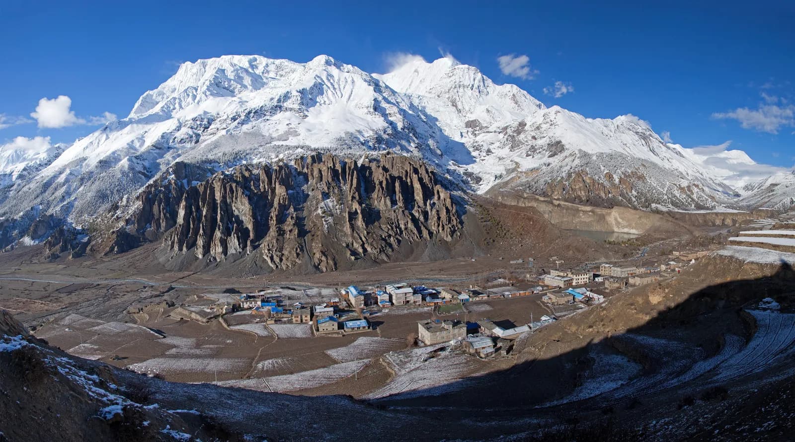
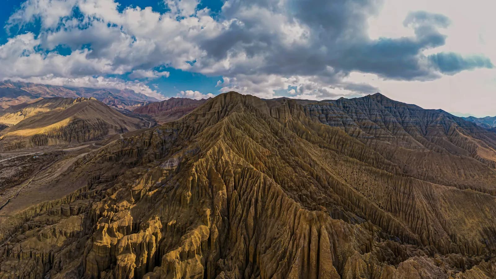
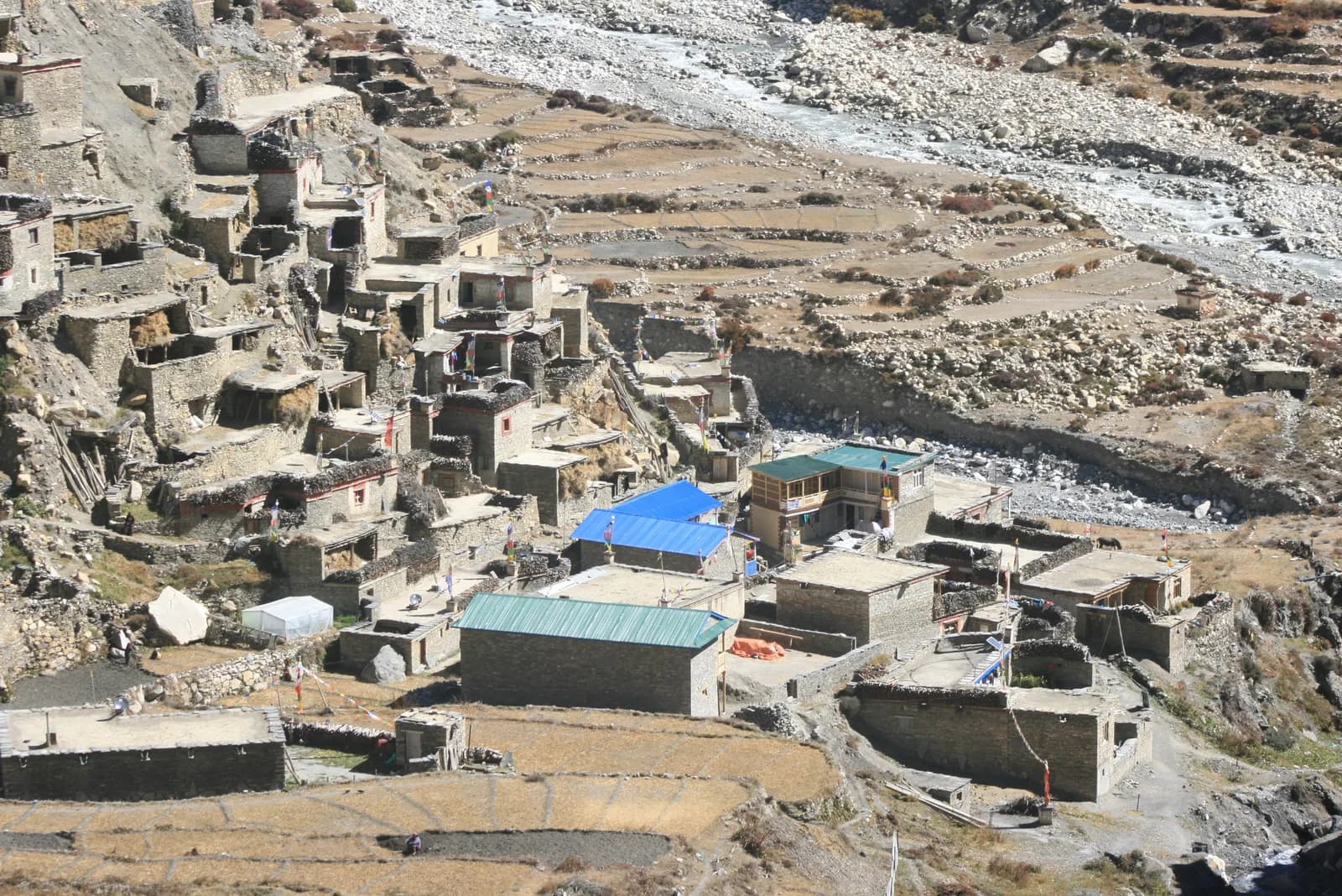
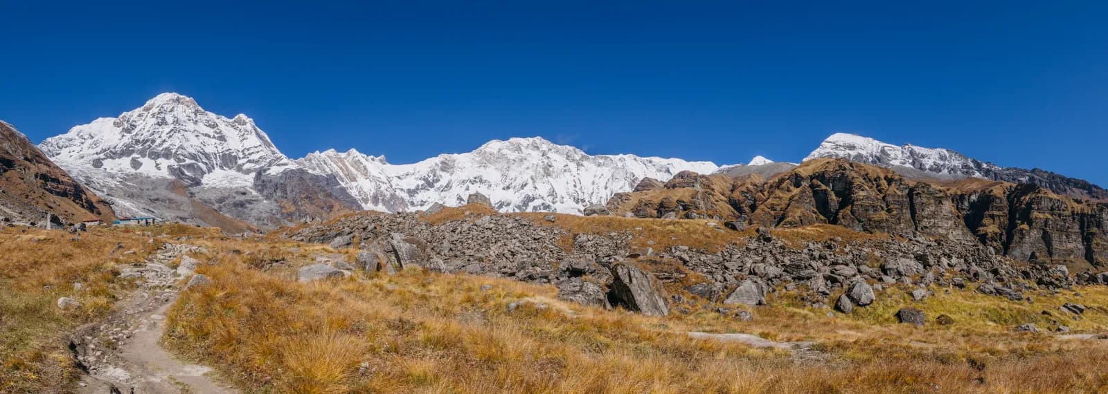
The valley sits behind the main Annapurna trail and feels like another country. The trail leaves the Marsyangdi valley at Koto and enters a steep gorge of cliffs and pine forest, crossing bridges high above the Nar Phu Khola. After Meta the valley opens, and the villages of Kyang and Phu appear with stone houses, chortens and fields at about 4,100 m. Phu has an old monastery and a view of Himlung Himal. Nar, a larger village, has a gompa. The Kang La then gives views of Annapurna II, Annapurna IV and Gangapurna, and the descent to Ngawal reaches the main Circuit trail, so the last day ends among bakeries in Manang. The contrast is the appeal.
The gorge and the days
The gorge is the hardest part to judge from a map. Day 3, Koto to Meta, is about 16 km and takes 7 to 9 hours (the route page gives different figures in two fields), with large ups and downs on narrow paths and bridges. Day 4 to Phu is about 18 km with 1,200 m of climbing in 6 to 8 hours. Day 6 from Phu to Nar is about 21 km with 1,400 m of climbing and 1,270 m of descent in 8 to 10 hours. These are long days at altitude, which is why the plan has two rest days, at Phu and at Nar, before the pass. The route page lists the whole plan.
Rules and permits
The Nar Phu valley needs a Restricted Area Permit from the Department of Immigration, issued through a registered agency, an Annapurna Conservation Area entry permit and a TIMS card where required, and a licensed guide must accompany you. Reports of a March 2026 notice say individual foreigners may apply, but the permit still needs an agency and a guide. A Kantipur report of 6 May 2026 covers controlled areas in 13 districts, and we could not read the full text, so ask your agency for the current rule. As of October 2026 the Nepal Tourism Board lists the Nar Phu permit at USD 100 per person per week plus USD 15 per extra day from September to November, and USD 75 per week plus USD 15 per extra day from December to August, so USD 115 or USD 90 for the 8 permit days of our route plan, plus NPR 3,000 for the ACAP permit. Day counts have changed more than once, so confirm them with your agency. The Annapurna Conservation Area permit guide explains the conservation area side, and the guide rule explainer covers the wider position.
Getting there and away
You drive from Kathmandu to Besisahar (6 to 7 hours), then by jeep along the Marsyangdi road to Koto, about 6 to 7 hours more, passing Syange, Tal, Dharapani and Chame. On the way out, the jeep from Manang to Besisahar takes 8 to 9 hours on a rough road, followed by 6 to 7 hours to Kathmandu. Landslides can cause delays, so keep a spare day. There is no flight in the plan.
Seasons
September to November have the clearest weather. March to May are possible, but the Kang La may hold snow in early spring. The monsoon is wetter on the south side and quieter in this rain-shadow valley, but landslides can block the road, and winter is very cold with heavy snow on the pass.
Lodges and food
Simple lodges and homestays operate in Meta, Kyang, Phu and Nar with dal bhat, noodles, tsampa and tea. Facilities are basic and some agencies carry tents and a cook for flexibility. Prices rise with altitude. There are no cash machines beyond Besisahar and Manang, so bring cash for the whole trek.
Altitude
The plan sleeps at Meta (about 3,560 m), Phu (about 4,080 m), Nar (about 4,110 m), then crosses the Kang La and sleeps at Ngawal (about 3,660 m). The pass day is about 15 km with 1,100 m of climbing and 1,630 m of descent and takes 6 to 8 hours or more. Watch for headache, nausea and poor sleep, never ascend with symptoms, and descend if they worsen. Our acclimatisation schedule explains the principles, and the Himalayan Rescue Association clinics article covers the clinic at Manang.
Who it suits, and who should wait
Nar Phu suits fit trekkers who like culture and remote valleys and are comfortable with long days at altitude. Prepare with hill walks, stair training and some days with a loaded pack, because the pass day of about 15 km needs good stamina. It is a poor first Himalayan trek. If you have never been above 4,000 m or slept in unheated rooms, the Annapurna Circuit or a lower trek is a better first step, and our first-time trekking guide can help you choose. If you already know how you handle altitude, the valley rewards the effort with quiet.
Compared with the Annapurna Circuit
The route page calls Nar Phu a quiet, remote alternative to the Annapurna Circuit, and it ends on the Circuit trail. The differences are practical. The Circuit has many lodges, bakeries and a long season of walkers, whereas Nar Phu has only a handful of villages with simple lodges, a restricted-area permit and a guide, and the highest point is the Kang La at about 5,306 m, which is close to the Thorong La on the Circuit (5,416 m on its route page) but with far fewer people and less infrastructure. If you want company and services, take the Circuit. If you want silence and are prepared for basic conditions, take Nar Phu.
Culture and nature
Phu and Nar are Tibetan-style villages with chortens, stone houses and gompas, and Phu has an old monastery. Walk clockwise around mani walls and chortens, ask before photographing people and monasteries, and do not give sweets or money to children. The route page lists blue sheep and possible snow leopard signs on the high slopes among the highlights, though most trekkers will see blue sheep at best.
Kit and safety
Pack a sleeping bag rated to about minus 15 C, a down jacket, gaiters, poles and a headlamp, and microspikes if snow lies on the Kang La. Start the pass day before dawn with food, water and warm layers in your day bag, and check the snow with your guide before leaving Nar. The valley is remote, so insurance needs to cover helicopter evacuation, and your guide is the person who can call it. Respect the weather: if the pass is not safe, the plan is to wait or turn back.
Extensions
From Manang you can continue over the Thorong La to Muktinath and Jomsom on the Annapurna Circuit, which adds about a week, or add a side trip to Tilicho Lake. Our Annapurna Circuit itinerary shows that part, and the regions guide places Nar Phu among the others.