Langtang National Park guide: size, habitats, people and 2026 conditions
A guide to Langtang National Park itself: Nepal's first Himalayan national park, its size and habitats, wildlife, Tamang communities, the 2015 and 2026 disasters and how to visit responsibly.
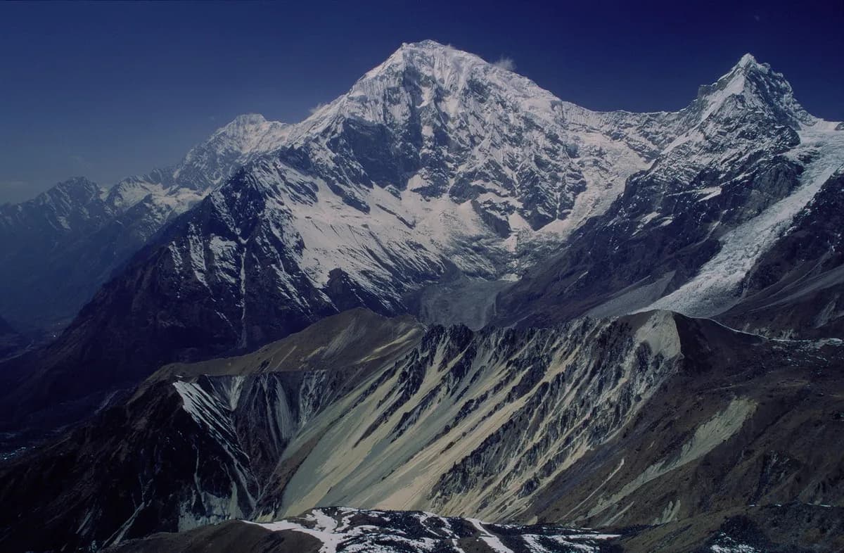
Langtang National Park was gazetted in 1976 as Nepal's first Himalayan national park, and covers about 1,710 km2 across Rasuwa, Nuwakot and Sindhupalchok districts, with 26 village communities inside it. It rises from subtropical forest below 1,000 m to Langtang Lirung at about 7,230 to 7,245 m, and it holds the Langtang Valley, the Gosainkunda lakes and most of the Tamang Heritage Trail. Entry costs NPR 3,000 for foreigners as of October 2026. Conditions changed on 26 August 2026, so read the section on the floods before you plan.
This guide covers the park as a place: its habitats and wildlife, its people, its two recent disasters and the habits that make a visit responsible. For the trek decisions see the Langtang region trekking guide, and for the permit see the Langtang National Park permit guide.
سفرهای باز Langtang Valley Trek
سفرهای واقعی که ترکرهای جویای همراه ثبت کردهاند.
Check conditions first
On the morning of 26 August 2026 a glacier collapse near Langtang Lirung set off a flood and debris flow that struck settlements along about 72 km of the Trishuli river. According to the Wikipedia account of the event, at least 1,454 people had died in Nepal as of 4 October, floodwater entered Dhunche and Syabrubesi, the Syabrubesi to Rasuwagadhi road and many bridges were damaged, and two rural municipality offices in the Gosaikunda and Uttargaya areas were washed away. The park's own Wikipedia entry notes that the collapse was on the northern slope of Langtang Lirung. We have not been able to confirm which trails, lodges and permit posts inside the park are usable, and our route data describes the treks as they were before the floods. Ask a registered agency, the Department of National Parks and Wildlife Conservation or the Nepal Tourism Board for the current position, and be ready to change plans.
Size, shape and history
Royal approval for the park came in 1970 and it was gazetted in 1976, the country's fourth protected area. A buffer zone of 420 km2 was added in 1998. The eastern and western boundaries follow the Bhote Koshi and the Trishuli. To the north and east it is linked with the Qomolangma National Nature Preserve in Tibet, and it is part of the Sacred Himalayan Landscape. The Dorje Lakpa range, at 6,988 m, bisects the park, and Langtang Lirung is its highest point. Gosainkunda sits at about 4,300 m, though our route data uses 4,380 m for the lakes as walked.
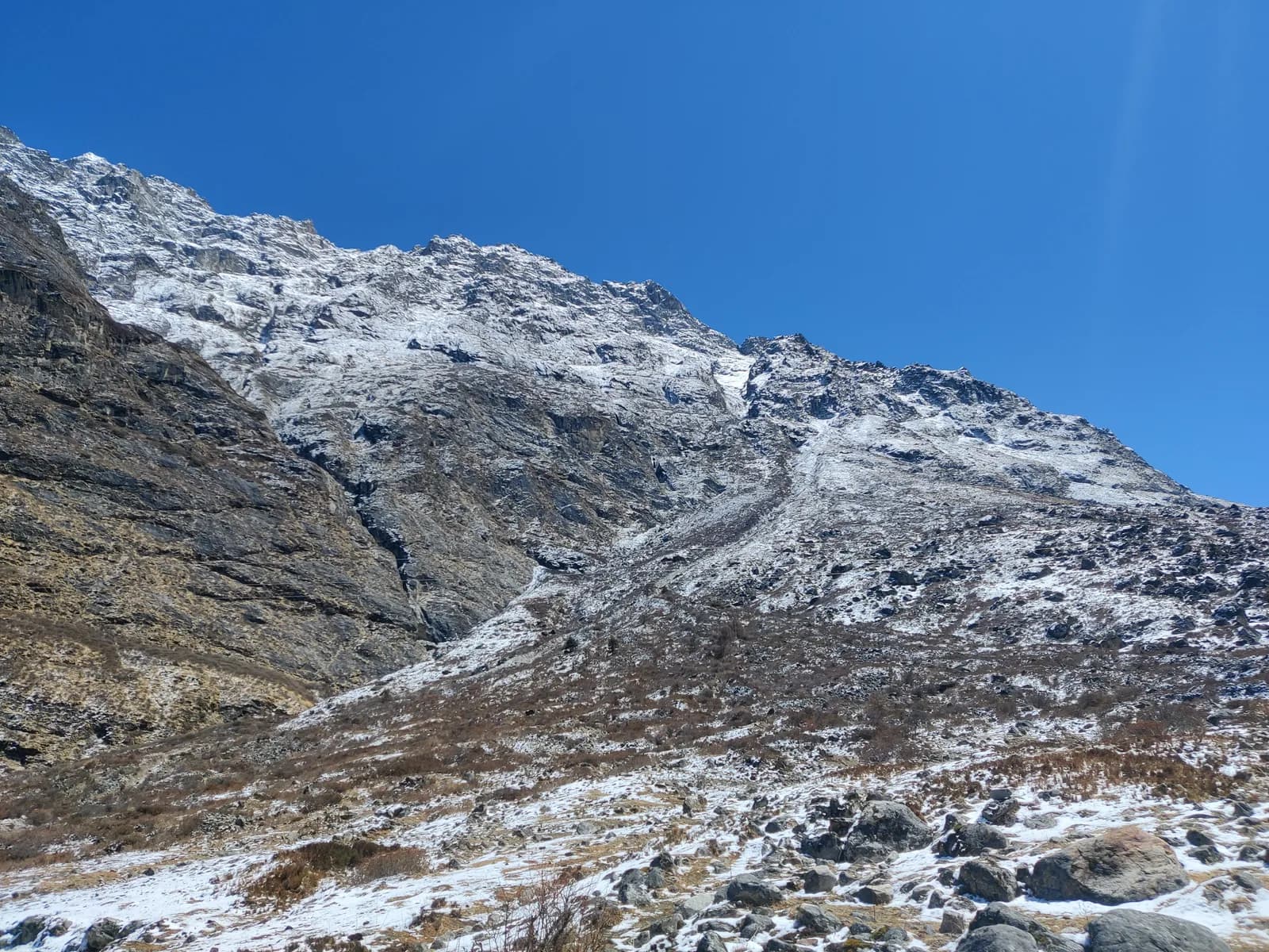
The park has 14 vegetation types in 18 ecosystem types, from upper tropical forest below 1,000 m to alpine scrub and perennial ice. The climate is dominated by the south-west summer monsoon, with most precipitation from June to September, and temperatures vary greatly with elevation. That is why the road is the problem in summer and the valley is the pleasure in autumn.
What lives here
Oak and rhododendron forest, where red pandas and Himalayan black bears live, gives way to juniper and alpine meadow above 3,500 m. The park is home to red panda, Himalayan black bear, musk deer, Himalayan tahr, langur and rhesus monkeys, and snow leopard in the highest parts. The forest between Syabrubesi and Lama Hotel is a good place to look for langurs and birds. Red pandas are shy and nocturnal and rarely seen, and they live in the bamboo and rhododendron forest below 3,500 m. Do not try to approach any wildlife.
The people and the memory of 2015
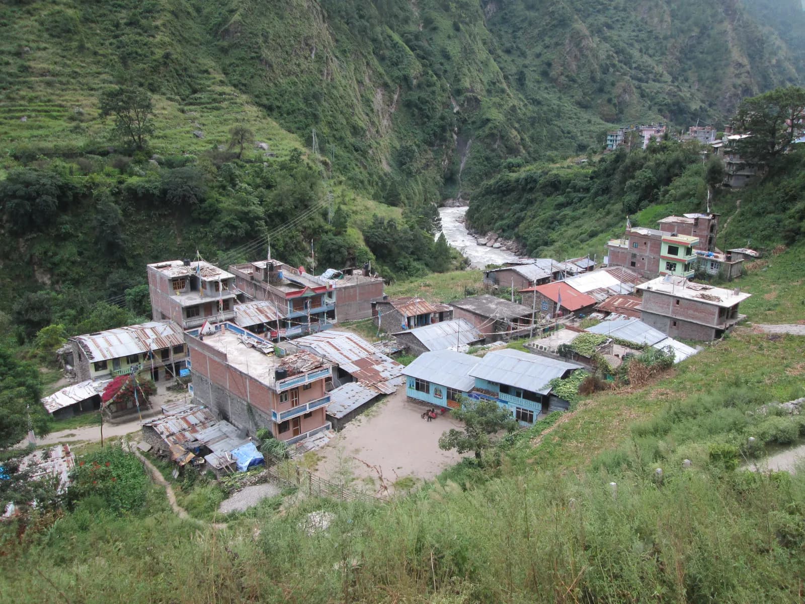
The people are mostly Tamang, of Tibetan origin, who speak Tamang, a Tibeto-Burman language, and follow a Tibetan-influenced Buddhism of monasteries, stone houses and prayer flags. The old trade route into Tibet at Rasuwagadhi, at the end of the road north of Syabrubesi, is still the main crossing, though the August 2026 floods destroyed the customs office there according to the Wikipedia account.
On 25 April 2015 an earthquake triggered an avalanche of ice, rock and mud that destroyed Langtang village, killing at least 215 people, including villagers, trekkers and park staff. The village was rebuilt a short distance away, lodges reopened and the trails were repaired. Visitors pass a memorial and a long mani wall near the old site. Treat the area quietly and talk to local people if they wish to talk. Read Nepal trail etiquette and culture and monastery etiquette, prayer wheels and mani walls.
The treks inside the park
| Trek | Days | Highest point |
|---|---|---|
| Langtang Valley | 8 | Kyanjin Ri, 4,773 m |
| Gosaikunda | 6 | 4,380 m |
| Tamang Heritage Trail | 7 | about 3,200 m |
| Helambu (upper section) | 8 | 3,650 m |
Day plans are in the Langtang Valley itinerary, the Gosaikunda itinerary and the Tamang Heritage Trail itinerary, and Helambu is covered in the Helambu region guide.
Permits and the guide rule
The entry permit is NPR 3,000 for foreigners per entry as of October 2026 (SAARC nationals NPR 1,500, children under 10 free), checked at Dhunche and Syabrubesi. A TIMS card may also be requested, and the Nepal Tourism Board lists it at NPR 2,000 for foreigners (SAARC nationals NPR 1,000), plus any agency service charge.
On guides, a licensed guide through a registered agency is required in restricted areas, and under the Nepal Tourism Board rule of April 2023 in national parks and conservation areas, where 2026 operator reports say checkpoints enforce it in Annapurna and Langtang, with Langtang the strictest, but not in Khumbu (checked 19 October 2026). Inside Langtang National Park, plan on a licensed guide or guide-porter. See the guide rule by region.
Altitude and seasons
The park gains height fast: Syabrubesi is at 1,460 m and Kyanjin Gompa at 3,870 m is three walking days away, and Gosaikunda is steeper still. Follow the Wilderness Medical Society and CDC Yellow Book guidance, and read altitude sickness basics. October and November are the most stable months, March to May the second window, the monsoon brings leeches and landslides, and winter is cold with snow on the high trails. See best time for Langtang Valley.
Visiting responsibly
Langtang is a small park under pressure in autumn. Carry out your rubbish, purify water because livestock share the sources, respect memorials, stay on the paths, buy local products such as yak cheese and hire local guides and porters. In homestays follow the village committee's rules and ask before photographing ceremonies. After a disaster year, the most useful thing a visitor can do is spend money locally once the trails reopen, and not pressure anyone to open before they are ready.
Costs and sharing
As of October 2026 the Langtang cost data gives a dal bhat of NPR 600 to 1,000 between 2,500 and 3,800 m and NPR 1,100 to 1,800 above 3,800 m, a guide day of NPR 2,700 to 4,000 and a porter day of NPR 2,100 to 3,400, as operator market ranges, not official rates. The local bus from Kathmandu to Syabrubesi is about NPR 800 to 1,500 and a private jeep NPR 15,000 to 29,500 per vehicle. Sharing is the main saving; use the Langtang Valley partner page and read how to vet a trekking partner.
Where to go next
The Langtang region page holds the route data, Nepal's trekking regions places it among the others and the region guides category lists the rest of this series.
When the trails reopen
Recovery after a disaster is slow and uneven. Some villages may reopen early and others later, and lodge owners who lost buildings may not be ready for visitors. When local authorities say a route is open, the most helpful approach is to go with an agency or guide who knows which lodges and homestays are operating, travel in small groups, carry cash and avoid asking for services that are scarce. If you cannot confirm the position, choose another region for now, and come back to Langtang when its people say they are ready.
Facts worth remembering
Langtang National Park was the first Himalayan national park and has been a model for later ones. It protects a wide range of habitats and 26 village communities, it holds the Tamang cultural landscape of Rasuwa and it has lived through two catastrophes in eleven years. Treat what you read about it, including this guide, as a snapshot, and check the current position before you travel.