Tsum Valley itinerary day by day
A 13-day Tsum Valley itinerary from Machha Khola through Jagat, Lokpha, Chumling, Chhokangparo and Nile to Mu Gompa and Rachen Gompa, with distances, climbs and sleep altitudes.
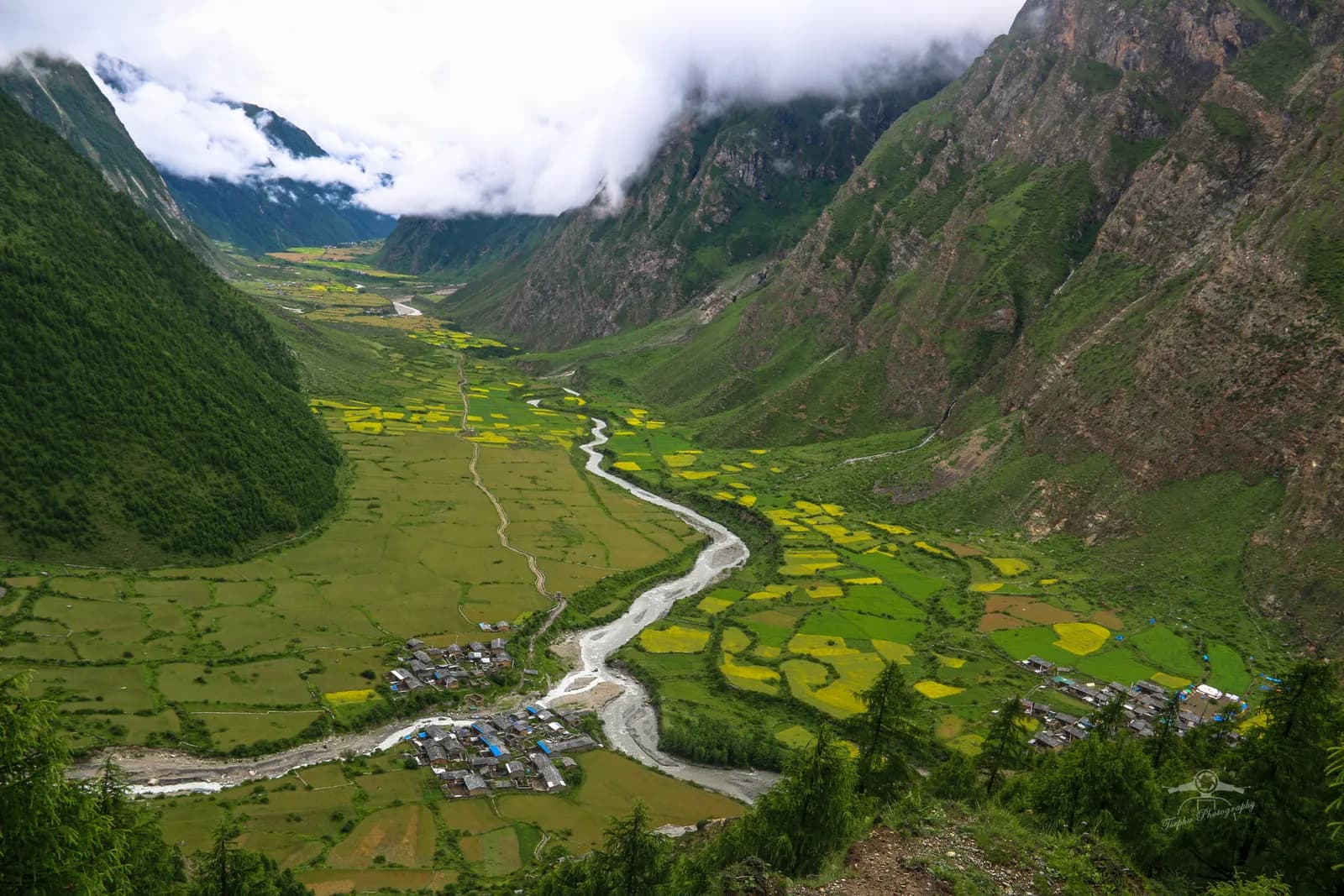
The Tsum Valley itinerary here takes 13 days: an 8 to 9 hour drive to Machha Khola (about 850 m), eleven days of walking, and an 8 to 9 hour drive back. The route follows the Budhi Gandaki to Jagat, branches north at Philim to Lokpha and Chumling, climbs through Chhokangparo and Nile to Mu Gompa (about 3,700 m), returns by the Rachen Gompa nunnery and retraces the valley. About 131 km on foot and 7,600 m of climbing make it hard, even though nothing is above about 3,700 m. Because the valley is a restricted area inside the Manaslu Conservation Area, a Restricted Area Permit, a registered agency and a licensed guide are part of the plan. The route data is on the Tsum Valley page, and the Tsum Valley region guide and the Manaslu region page have the background.
Times are estimates from distance and climb, checked against operator itineraries.
رحلات مفتوحة في Tsum Valley Trek
رحلات حقيقية نشرها متنزهون يبحثون عن شركاء.
The 13 days at a glance
| Day | From - to | Time | Sleep |
|---|---|---|---|
| 1 | Kathmandu - Machha Khola (drive) | 8-9 h | about 850 m |
| 2 | Machha Khola - Jagat | 6-8 h | about 1,320 m |
| 3 | Jagat - Lokpha (via Philim) | 6-7 h | about 1,920 m |
| 4 | Lokpha - Chumling | 4-6 h | about 2,360 m |
| 5 | Chumling - Chhokangparo | 5-6 h | about 3,070 m |
| 6 | Chhokangparo - Nile | 3.5-6 h | about 3,300 m |
| 7 | Nile - Mu Gompa | 2.5-3.5 h | about 3,680 m |
| 8 | Mu Gompa - Rachen Gompa | 3-4 h | about 3,220 m |
| 9 | Rachen Gompa - Chumling | 5-6 h | about 2,360 m |
| 10 | Chumling - Lokpha | 3-4 h | about 1,920 m |
| 11 | Lokpha - Jagat | 4.5-6 h | about 1,320 m |
| 12 | Jagat - Machha Khola | 6-7 h | about 850 m |
| 13 | Machha Khola - Kathmandu (drive) | 8-9 h | about 1,400 m |
Day 1: Machha Khola
The drive runs via Dhading, Arughat and Soti Khola on a rough, dusty road that landslides often disrupt in the monsoon. It follows the Budhi Gandaki with views of terraced hills, rivers and waterfalls. Machha Khola is the starting point for the walk. Keep a spare day in the schedule for this road.
Day 2: Machha Khola to Jagat (about 1,320 m)
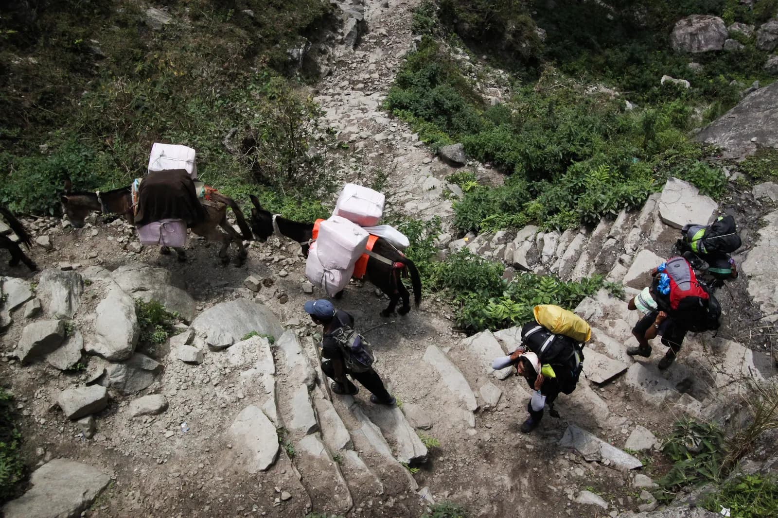
The first walking day is about 17 km with 1,300 m of climbing and takes 6 to 8 hours (the route page gives 7 to 8 in the description). The trail crosses suspension bridges, passes the Tatopani hot springs and winds through gorge forest, with some sections beside the jeep road. Jagat is a stone-paved village and a checkpost, so keep your permits ready.
Day 3: Jagat to Lokpha (about 1,920 m)
About 14 km with 1,030 m of climbing in 6 to 7 hours. The trail follows the river, then at Philim the Tsum route turns north into a narrower valley of bamboo and oak. Lokpha is a small settlement with lodges and the gateway to the valley. Your permits are checked here, and again on the way down.
Day 4: Lokpha to Chumling (about 2,360 m)
About 8 km with 890 m of climbing in 4 to 6 hours, through forest and across side streams, with Ganesh Himal ahead. Chumling is the first Tsum village, with stone houses, mani walls, a gompa and lodges.
Day 5: Chumling to Chhokangparo (about 3,070 m)
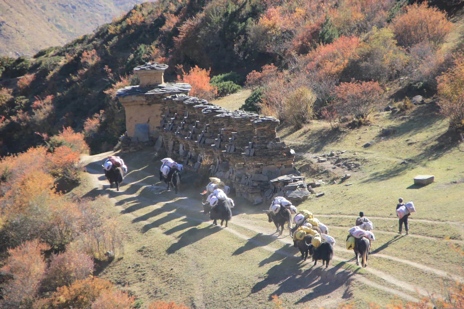
About 11 km with 1,050 m of climbing in 5 to 6 hours, past terraced fields, forest and small villages, with long mani walls and chortens beside the path. Chhokangparo, also called Chhekampar, is a large village with lodges and views of Ganesh Himal.
Day 6: Chhokangparo to Nile (about 3,300 m)
A moderate 11 km with 390 m of climbing in 3.5 to 6 hours along terraces and meadows, passing Chule and small hamlets. Nile is near the head of the valley, with lodges and a gompa.
Day 7: Nile to Mu Gompa (about 3,680 m)
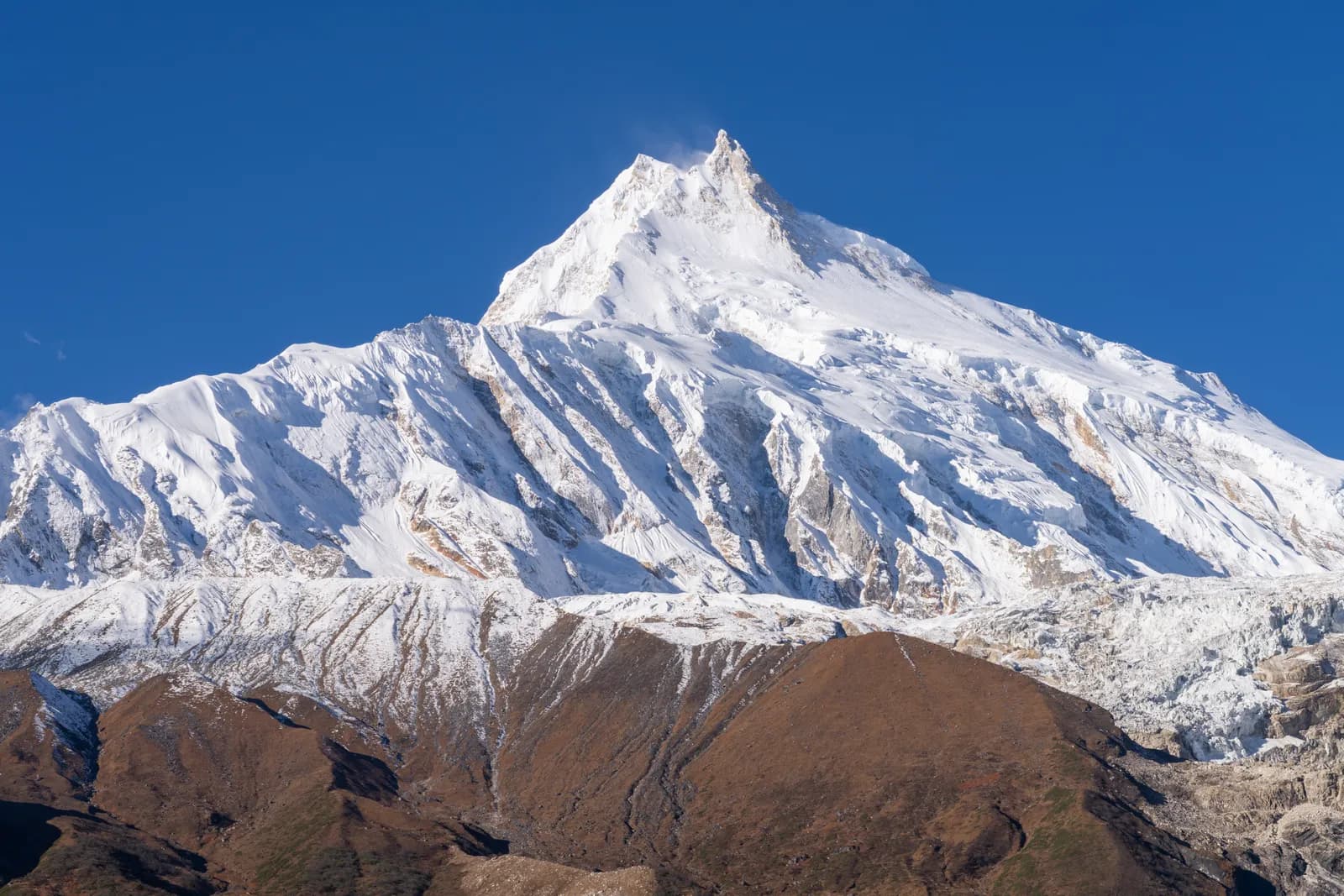
About 5 km with 540 m of climbing in 2.5 to 3.5 hours, through barley fields and meadows with views of snow peaks and the Tibetan border. Mu Gompa is the highest and most remote monastery of the valley, a centre of Buddhist learning. Visit respectfully and ask before taking photographs. The short day leaves time to rest, and many agencies add a night here.
Day 8: Mu Gompa to Rachen Gompa (about 3,220 m)
About 10 km with a drop of 680 m in 3 to 4 hours, down the valley through Nile and Pangdun to the Rachen nunnery near Lar. The Milarepa cave is nearby. The nuns live here, so be quiet and respectful.
Day 9: Rachen Gompa to Chumling
A long descent of about 16 km with a drop of 1,280 m and a climb of 410 m, in 5 to 6 hours. Chumling feels warm after the high villages, and its lodges offer hot meals. Use poles.
Days 10 to 12: down the valley
Day 10 is about 8 km in 3 to 4 hours to Lokpha, with permits checked again. Day 11 is about 14 km in 4.5 to 6 hours back through Philim to Jagat. Day 12 is about 17 km with a 1,340 m descent and an 850 m climb in 6 to 7 hours to Machha Khola, past the Tatopani hot springs, with some sections beside the jeep road.
Day 13: drive to Kathmandu
Another 8 to 9 hour drive, rough at first, so leave early and keep a spare day in case landslides block the road.
Reading the profile
Look at the sleep column. The trek starts low and warm at 850 m, climbs 470 m on day 2, 600 m on day 3, 440 m on day 4 and 710 m on day 5 in sleeping altitude, then adds only about 230 m to Nile and 380 m to Mu Gompa. The upper valley therefore feels gentle, and most of the effort is spent early, on long days at modest height. The way back is the mirror image: a drop of 1,280 m on day 9 and the long valley days on 11 and 12, which are hard on knees. Poles help on the descent days.
Permits, check posts and timing
The plan says your permits are checked at Lokpha on the way up and again on the way down, and the region page names Jagat and Philim among the check posts, so keep passport and permit copies in your day bag. The restricted-area permit is applied for through the agency, and the position on individual applications in 2026 is discussed in our Tsum Valley region guide. October and November have the clearest weather, March to May bring rhododendron, the monsoon brings leeches and landslides on the Machha Khola road, and winter closes many lodges, so pick your month with the road in mind.
Culture on the way
The villages on this route are where the trek earns its reputation. Chumling has a gompa and mani walls, Chhokangparo has long mani walls and chortens beside the path, Nile has a gompa and Mu Gompa is a centre of Buddhist learning. Walk clockwise around mani walls and chortens, dress modestly in monasteries and ask before photographing. Our monastery etiquette guide covers what to expect at a gompa.
Changing the plan
The itinerary has no named rest day. The only high sleep is Mu Gompa at about 3,680 m, so altitude is less of an issue than the long days, but if you want to be careful add a night at Chhokangparo or Mu Gompa. Other extensions on the route page are the Milarepa cave and Rachen Gompa on an extra night, or the Manaslu Circuit from Philim, which adds about a week and the Larkya La and needs its own permit. See our Manaslu itinerary for that.
What to carry
A sleeping bag rated to about minus 10 C, a down jacket, waterproofs, sun cream, a headlamp, water purification and leech socks in wet months. Bring a scarf or shawl for monasteries, and cash in small notes, because there are no machines on the trail.
Related reading
For other itineraries use the day-by-day hub, and for the permit position read the Manaslu permit guide.